From the Incas to the Altiplano
Peru and Bolivia, a summer on the high plateaus
Summer 2014
- Summer 2014
- km
- 6,640
- countries
- 2Peru · Bolivia
- photos
- 155
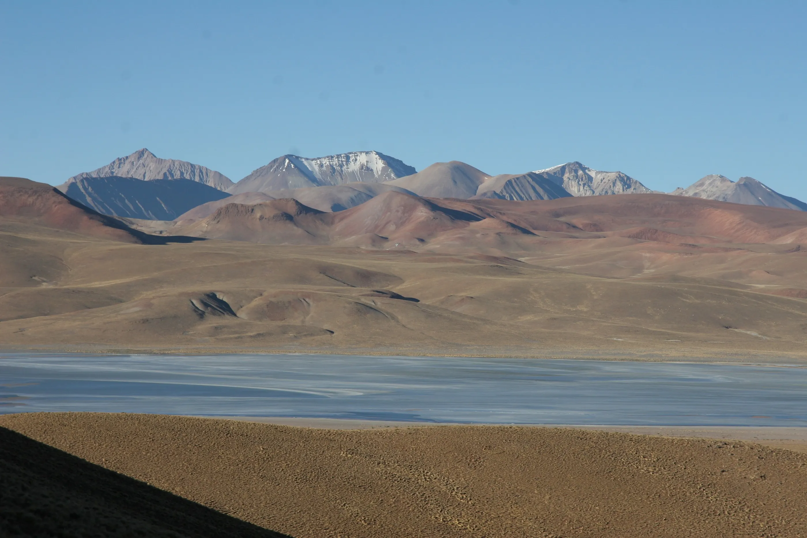
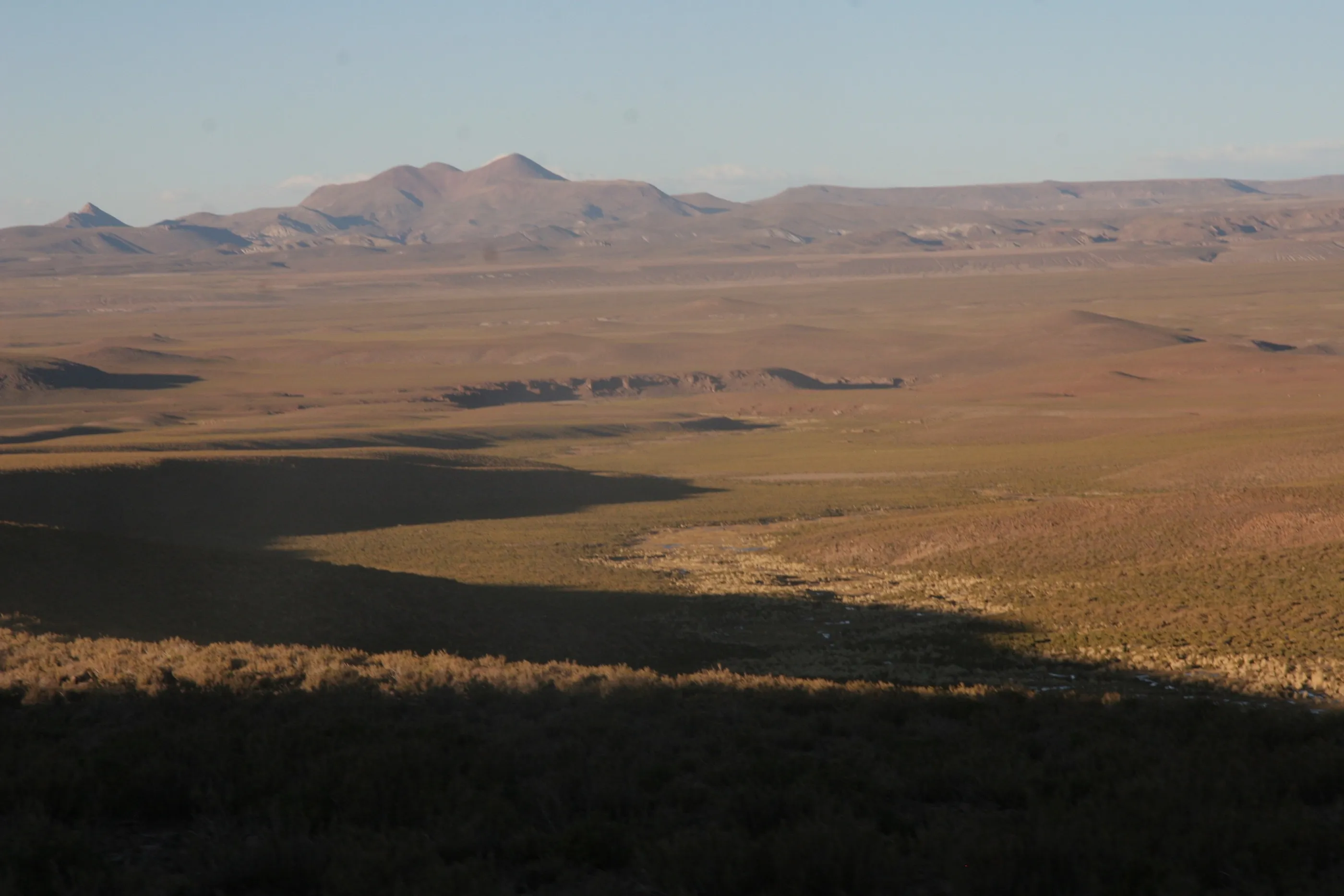
My first trip to South America. It began with a small historian’s joy: saying “Lima” while actually standing there, after studying the City of Kings for so long. Then everything followed on, in the summer of 2014, between Peru and Bolivia: pre-dawn alarms, night buses, short breath at 4,000 metres and coca tea, Lake Titicaca and its islands, and the immense silence of the Altiplano, where red and green lagoons freeze beneath the volcanoes.
The journey was also a dive into the civilisations of the Andes: Tiwanaku and its monoliths, the flawless walls of the Incas in Cusco, Ollantaytambo and Machu Picchu emerging from the mist. Then we took the road north, almost to Ecuador, in search of those who came before them — the adobe cities of Chan Chan and the Moche, the citadel of Kuélap — before reaching the Pacific again.
Lima, arrival
Peru
First night in a hotel near the airport. Low sky, damp air, fifteen degrees or so — the same weather as Paris. Up before dawn: the plane to Arequipa won’t wait.
By plane↗ 773 km
Arequipa, the White City
Peru
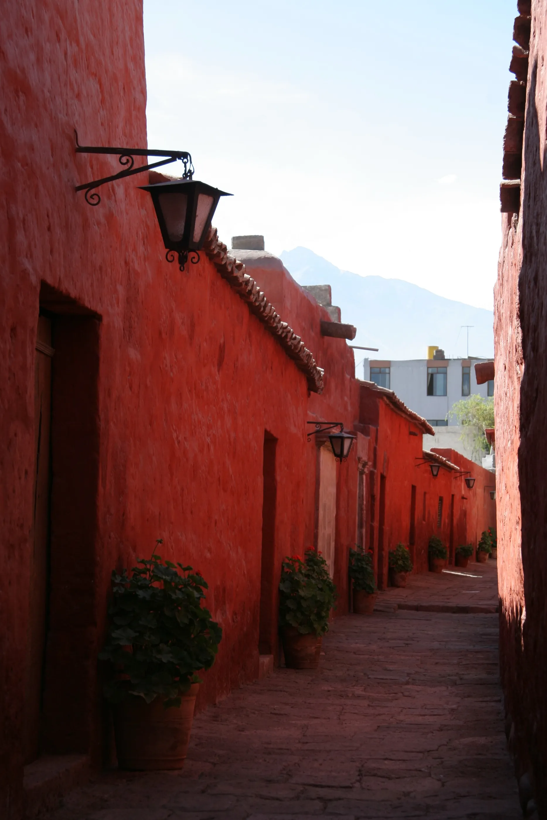
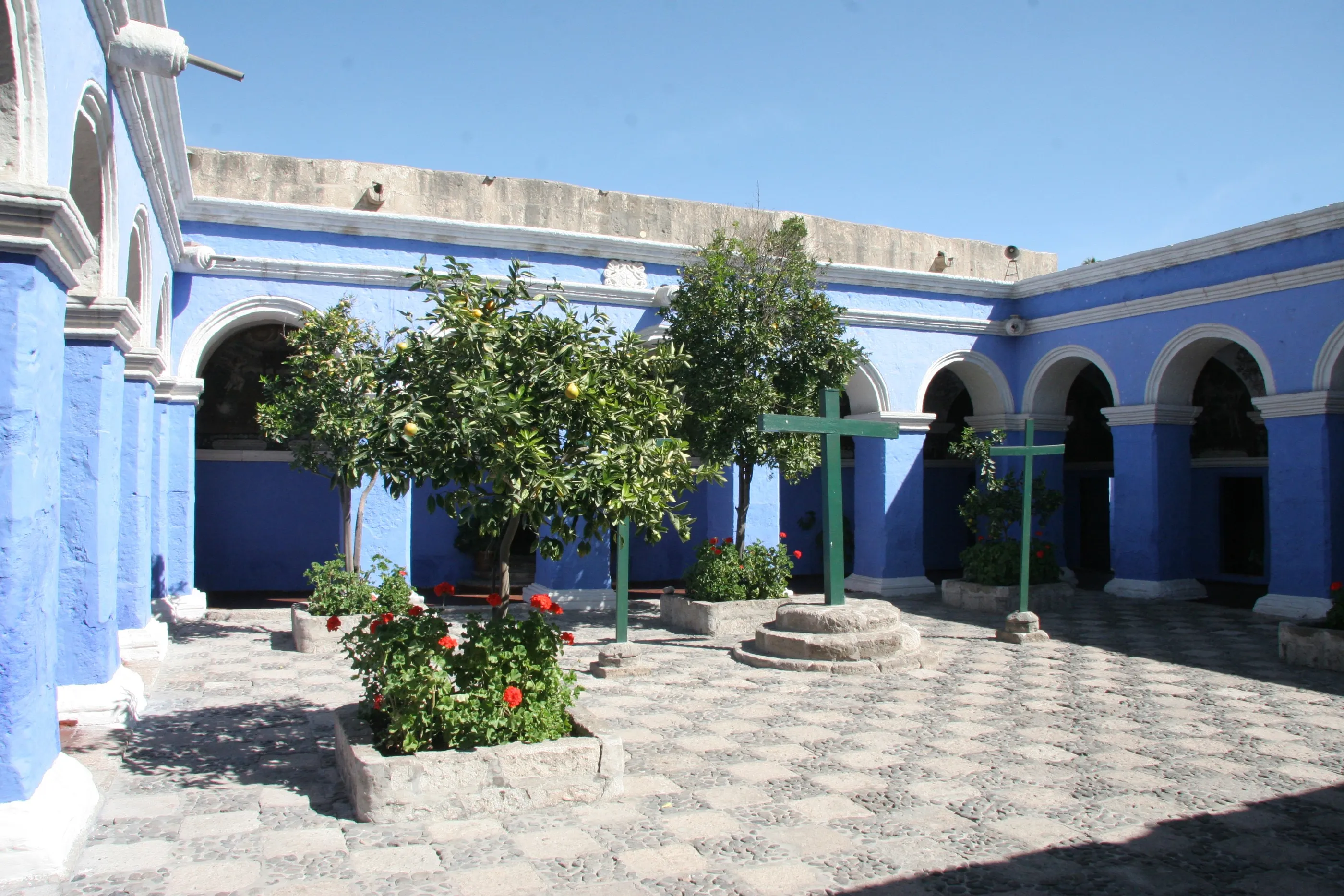
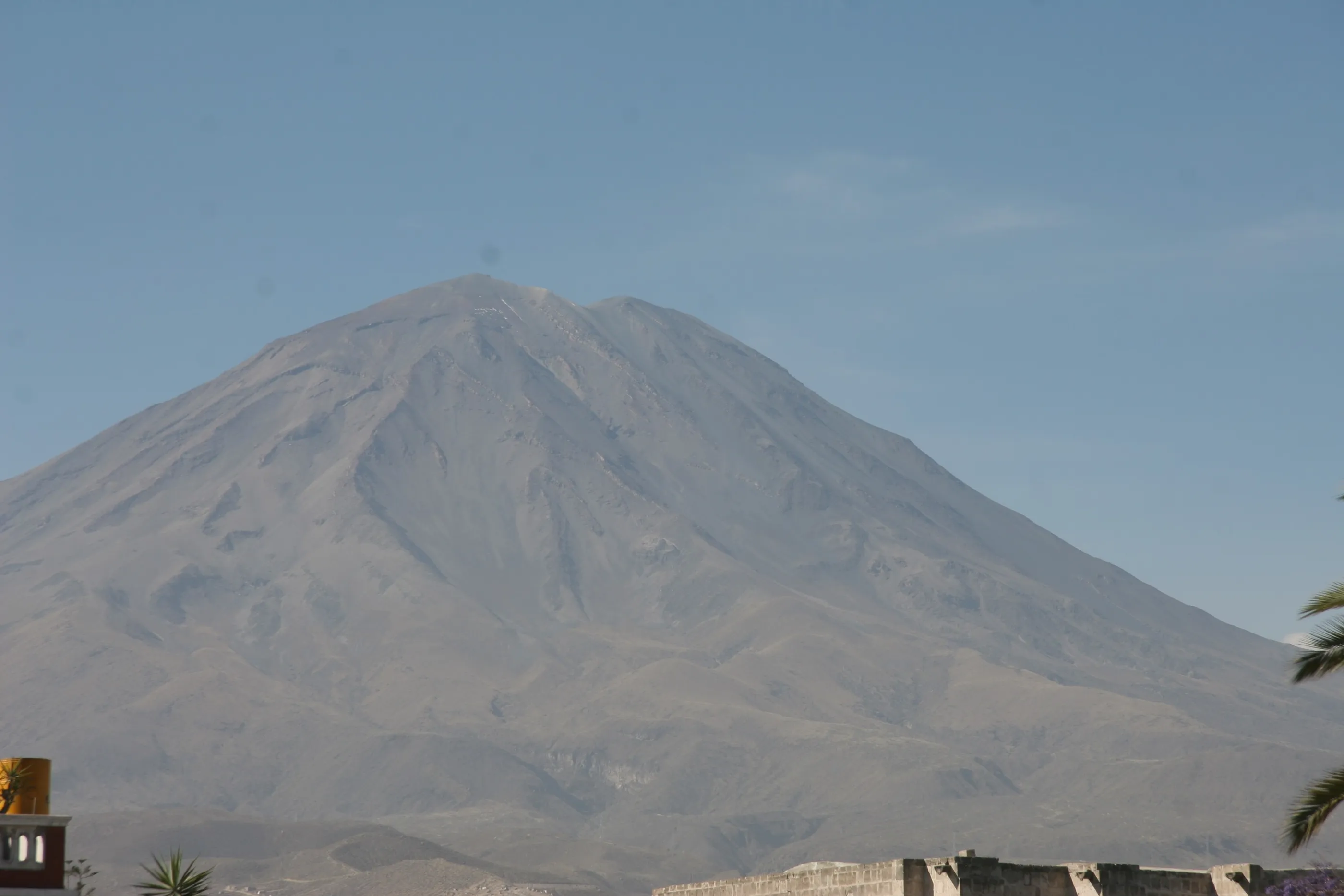
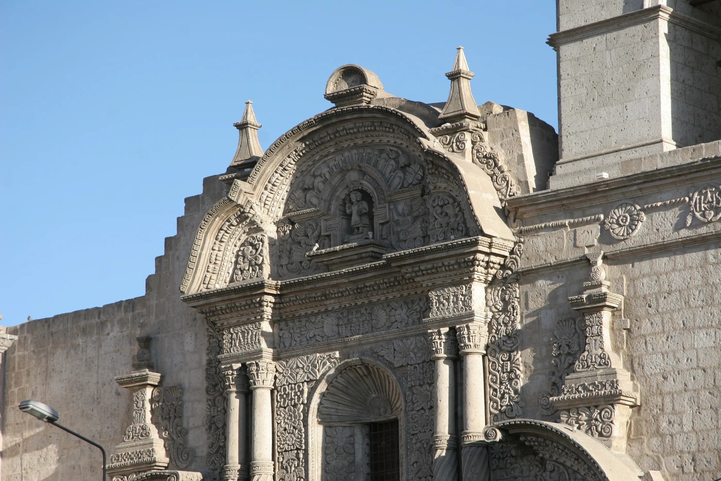
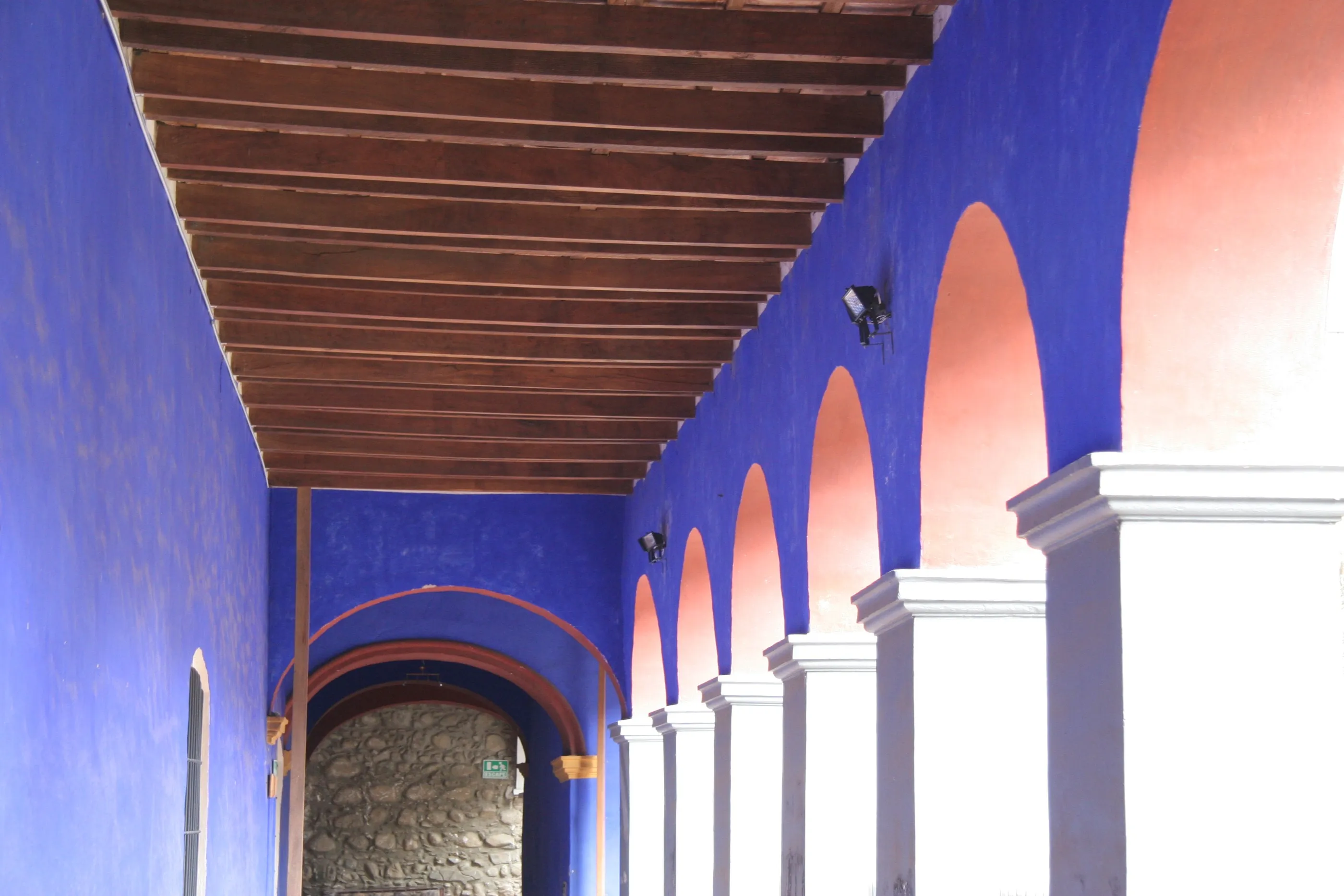
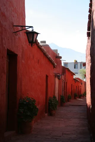
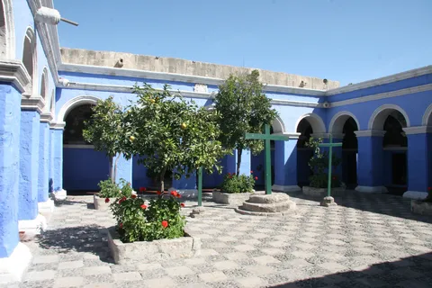
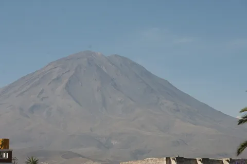
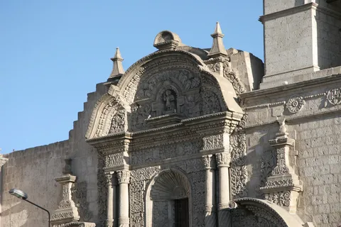
The flight crosses striking deserts before landing at the foot of El Misti. Arequipa, built of sillar, a white volcanic stone, opens the Santa Catalina monastery to us, closed off from the world for four centuries: red lanes, blue cloisters, geraniums in the windows. Then the Jesuit church of La Compañía, Juanita, the Inca mummy frozen for five hundred years, the cathedral lit up at night — and, to round it off, our first cuy, roast guinea pig.


By road↗ 96 km
Colca Canyon
Peru
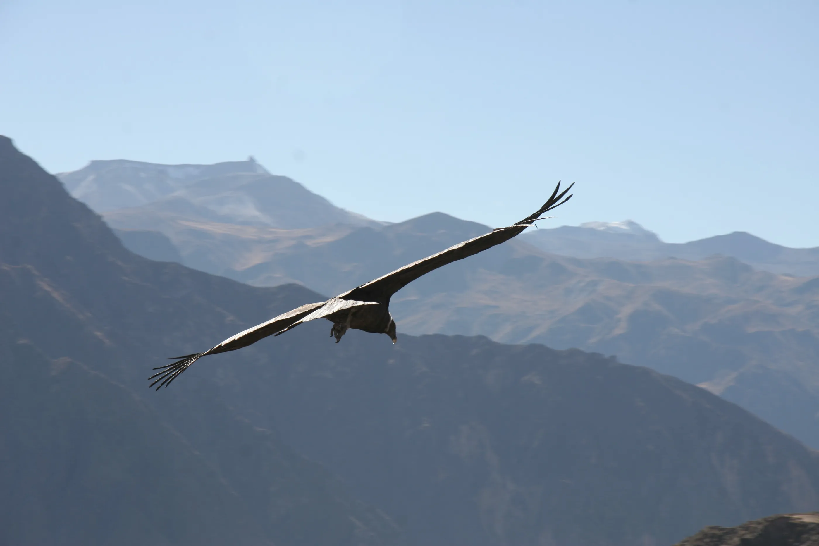
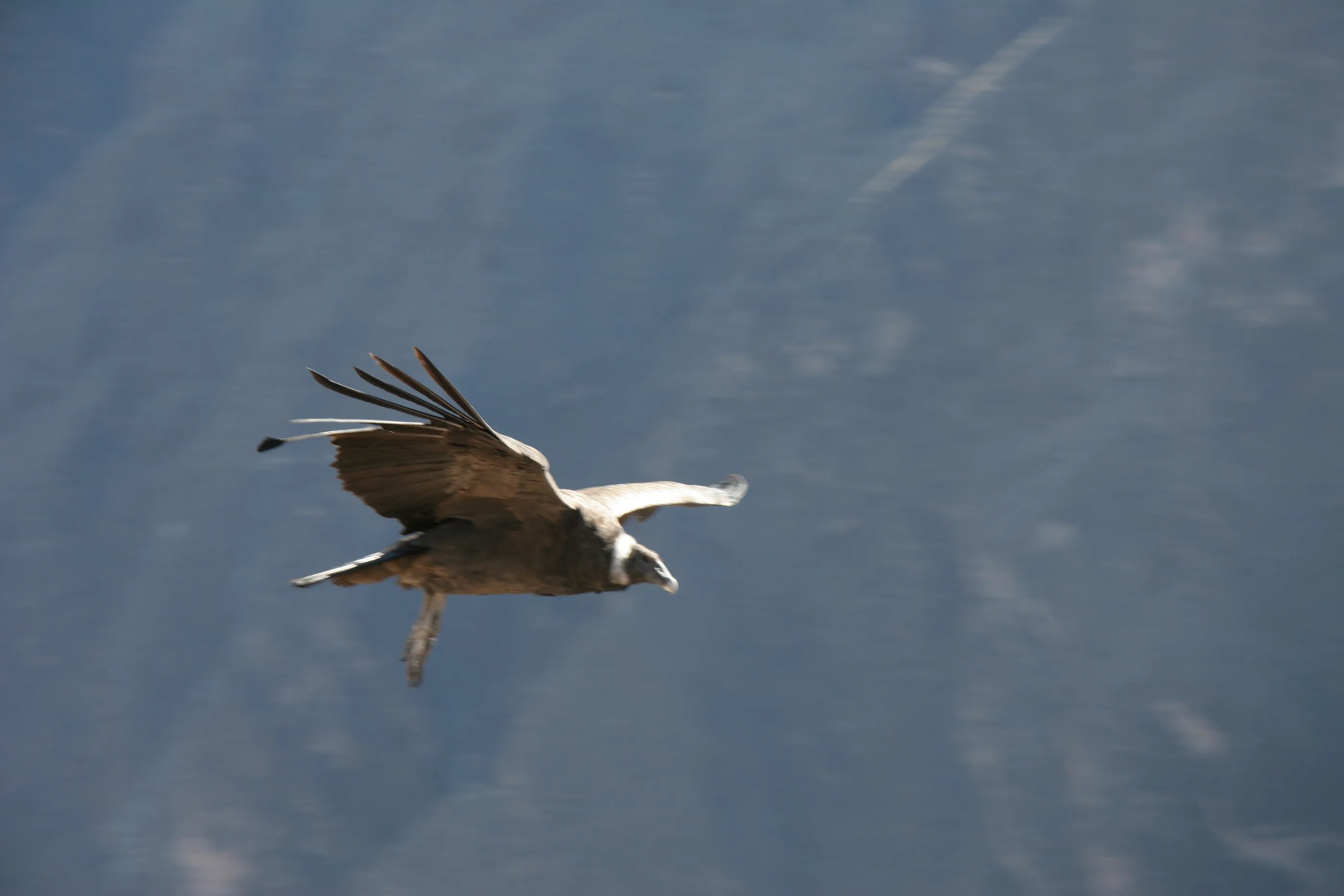
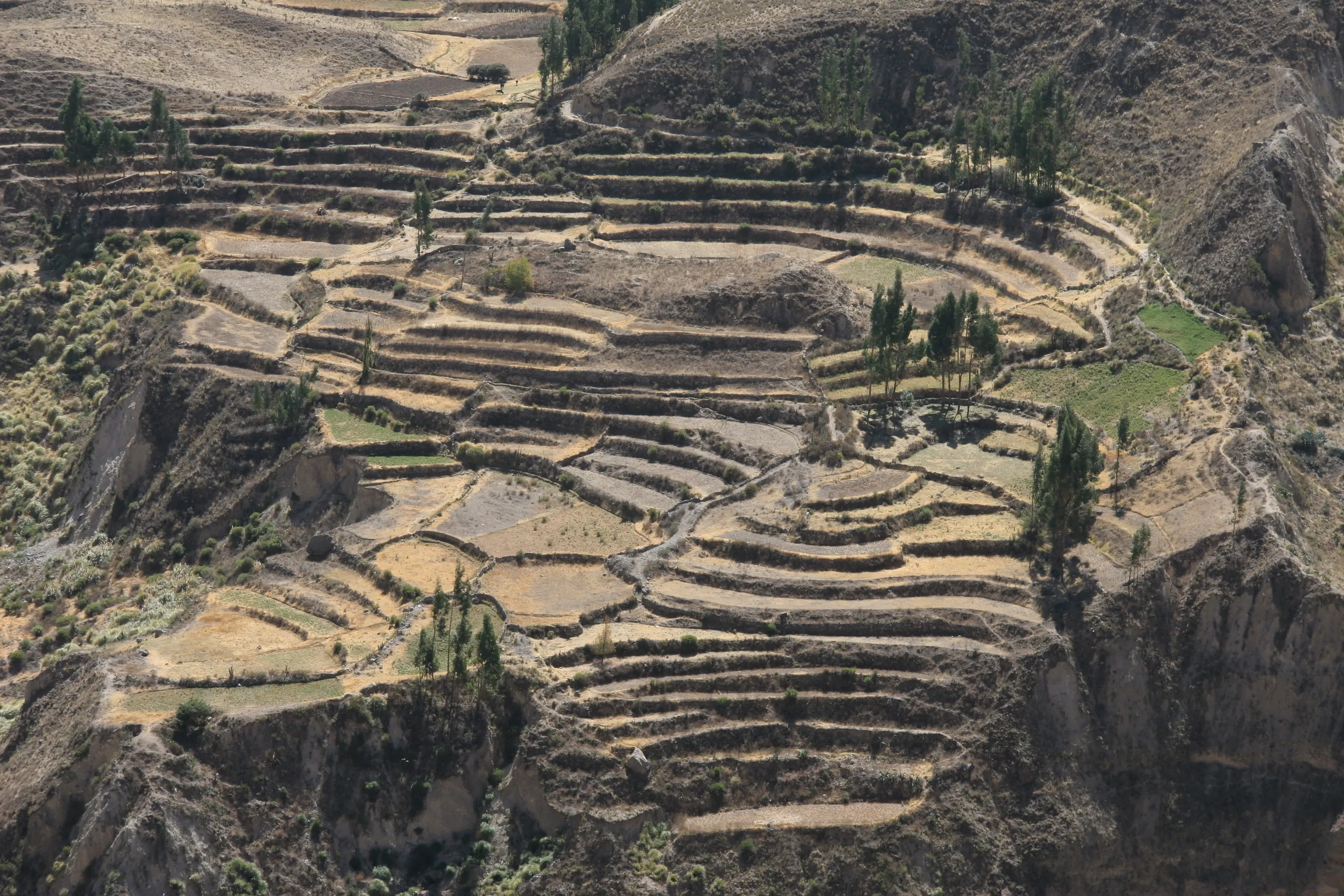
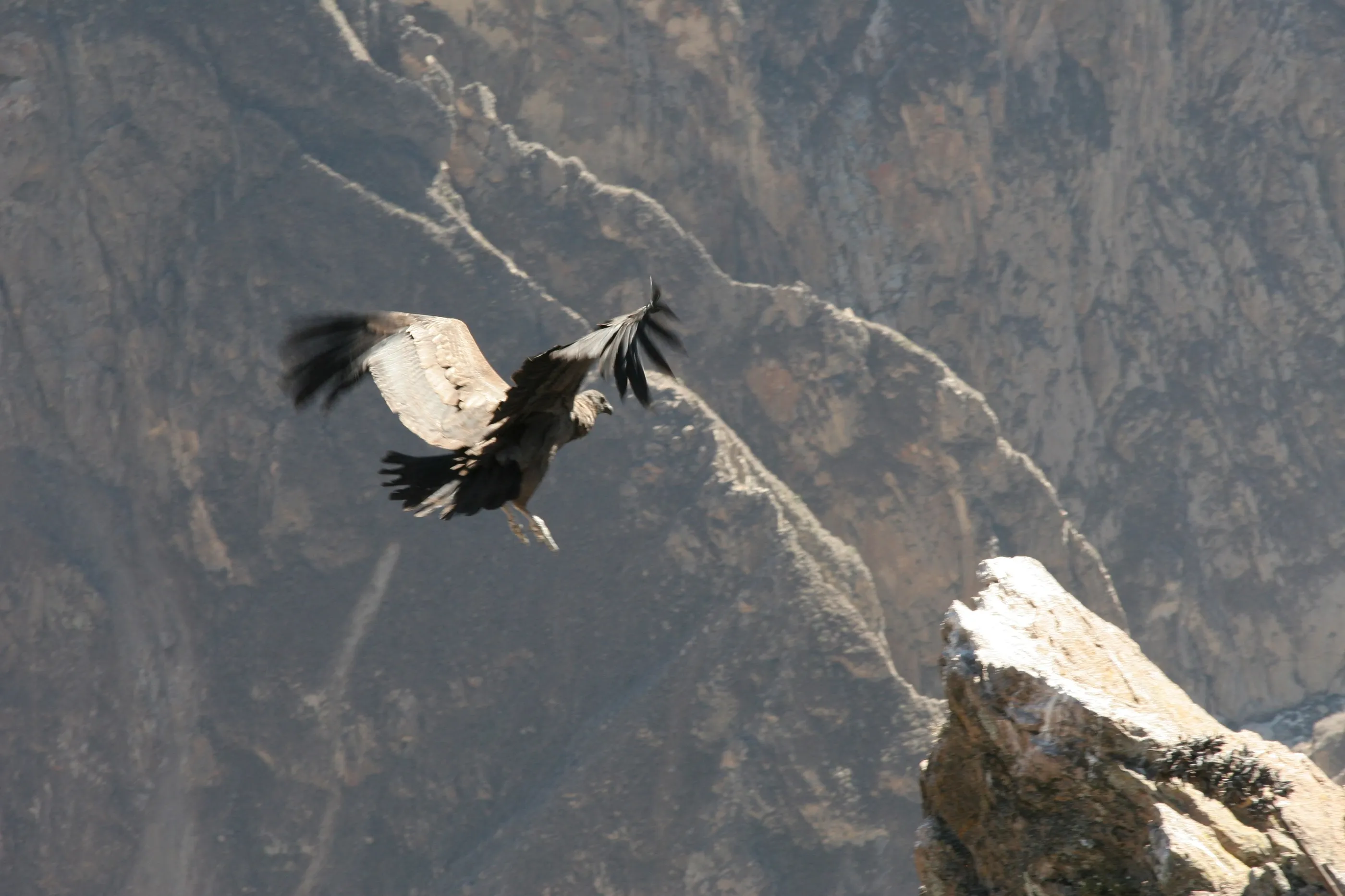
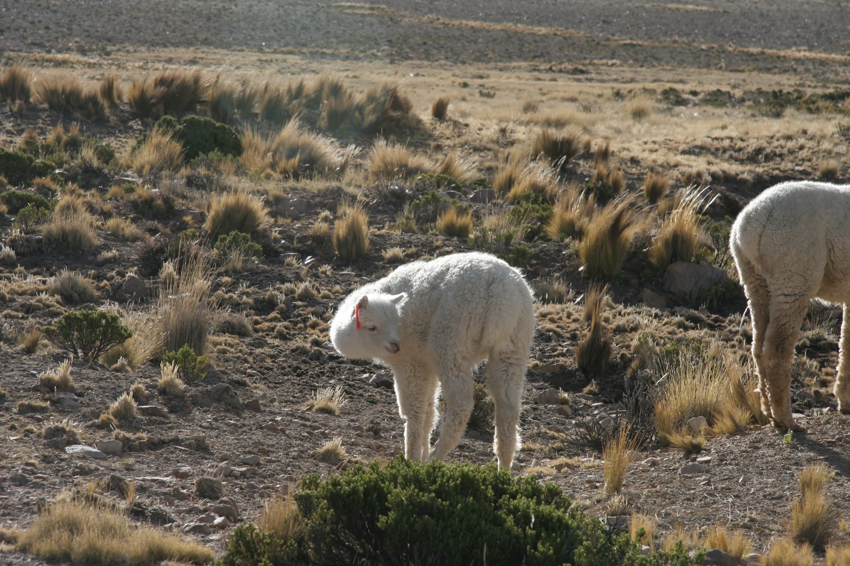
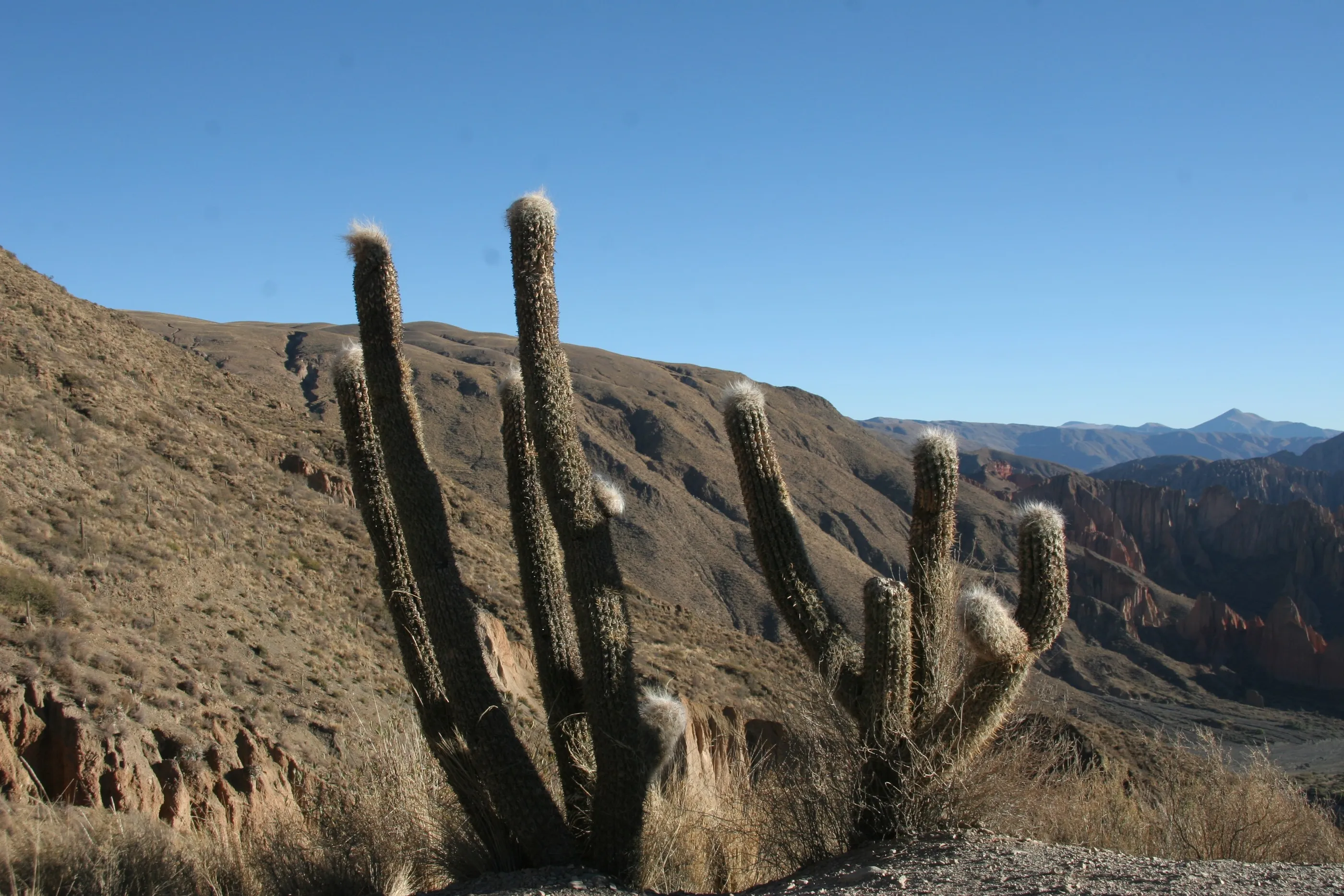
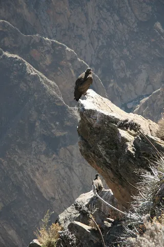
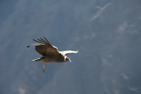
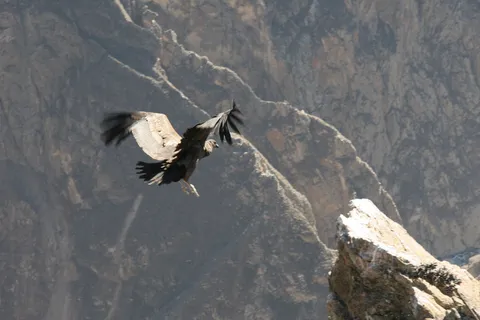
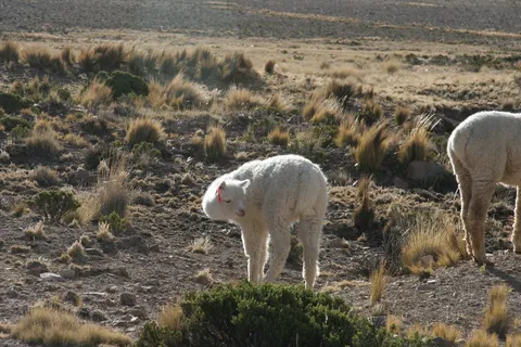
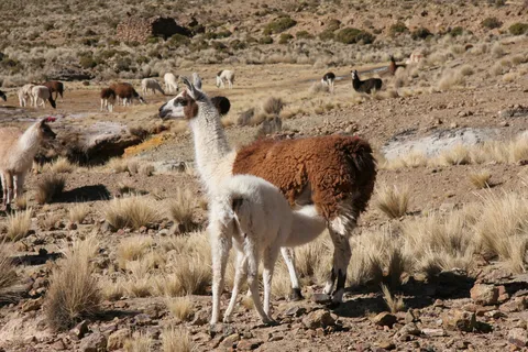
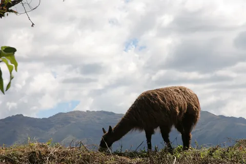
Up at 2:45 a.m. to reach the Cruz del Cóndor just as the condors rise on the warm air: nearly three metres of wingspan, skimming the canyon wall. Below, pre-Inca farming terraces sculpt the slopes. The road crosses stretches of bare rock between 4,000 and 5,000 metres where only cacti grow, grazed by llamas and alpacas — not so easy to tell apart.



By road↗ 208 km
Puno and the Uros Islands
Peru
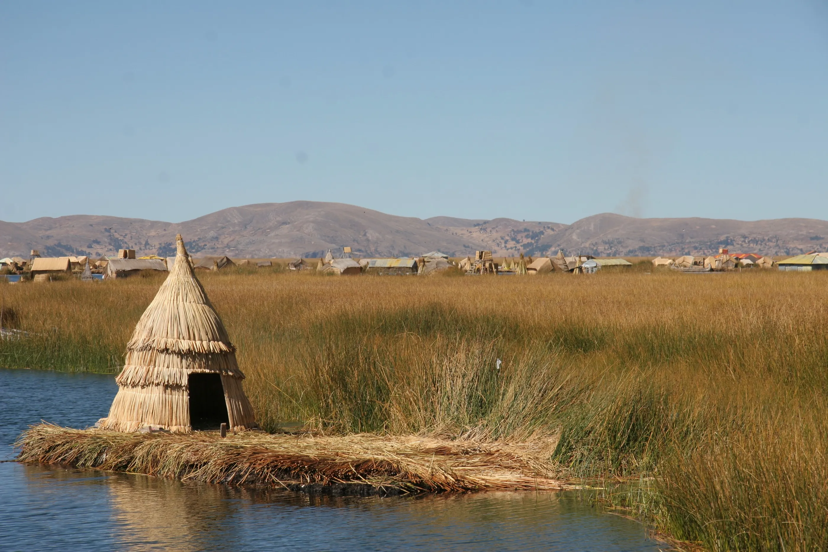
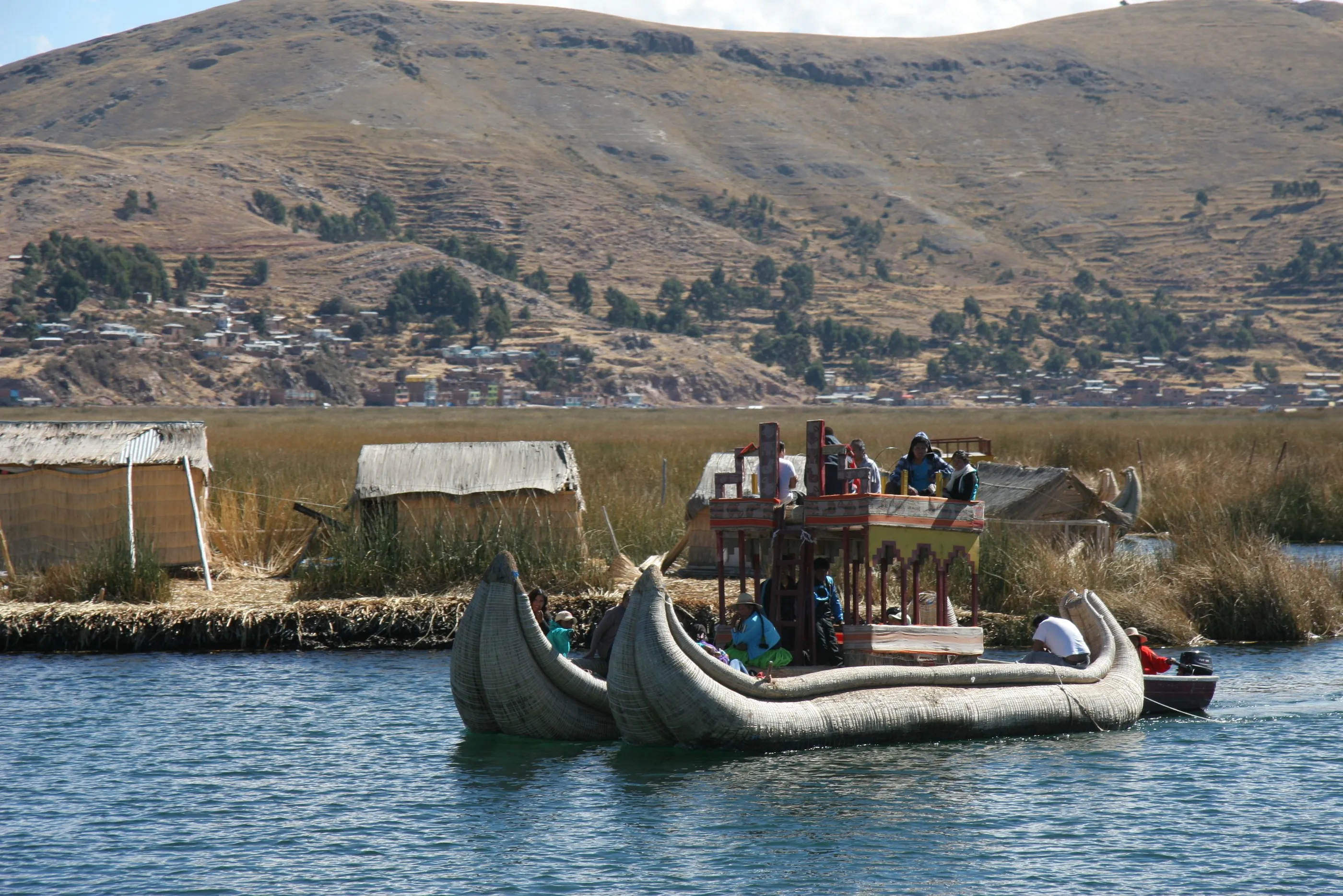
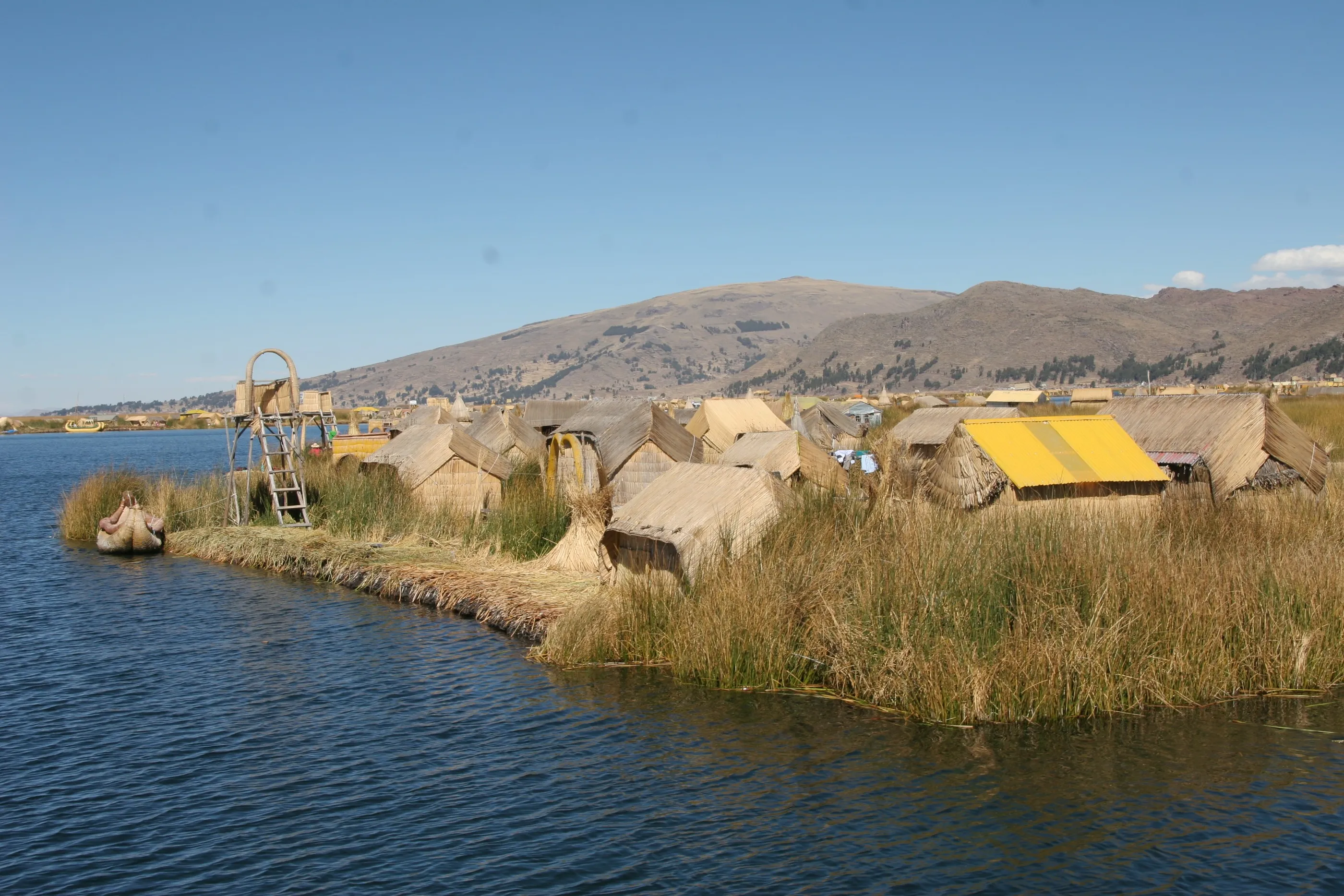
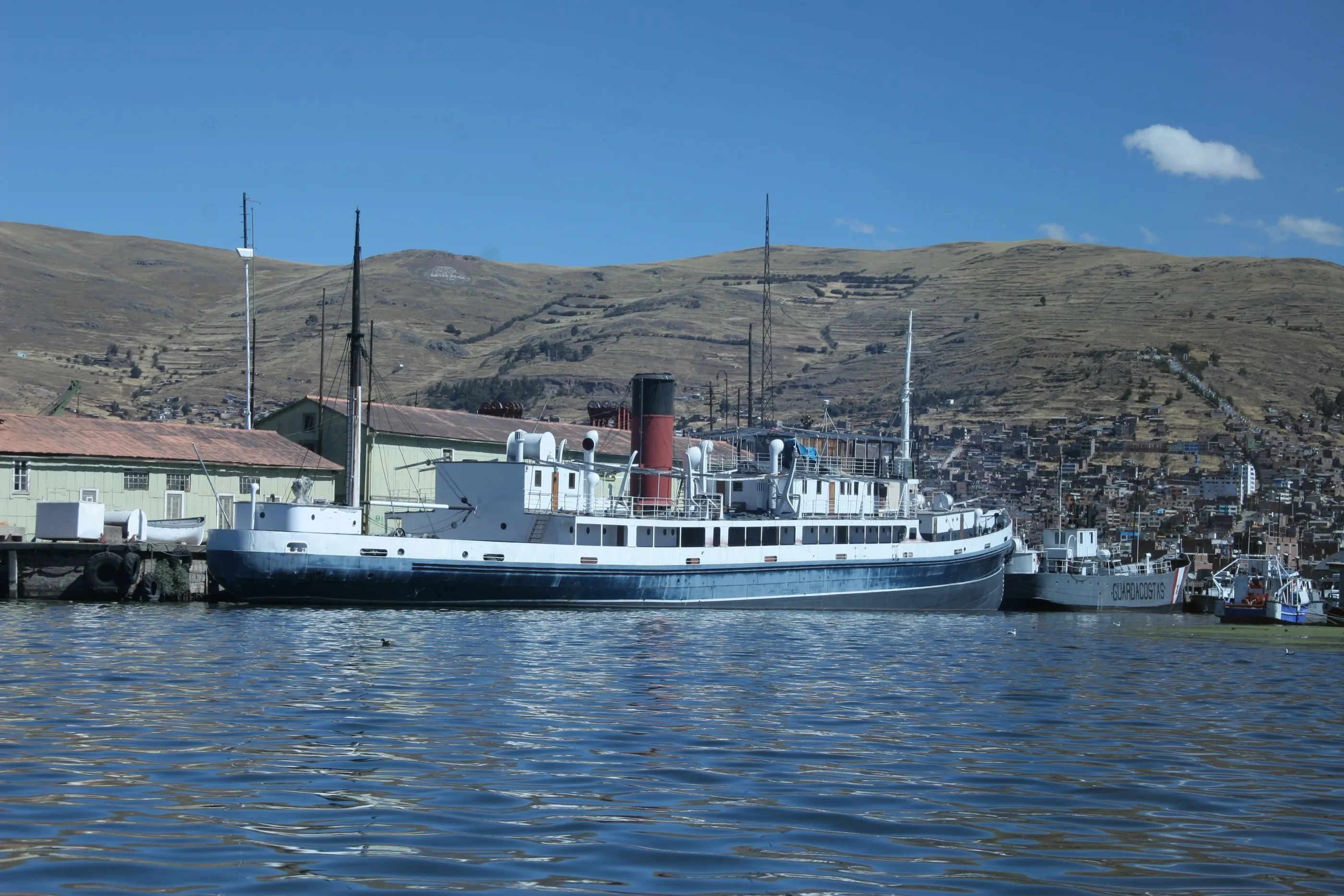
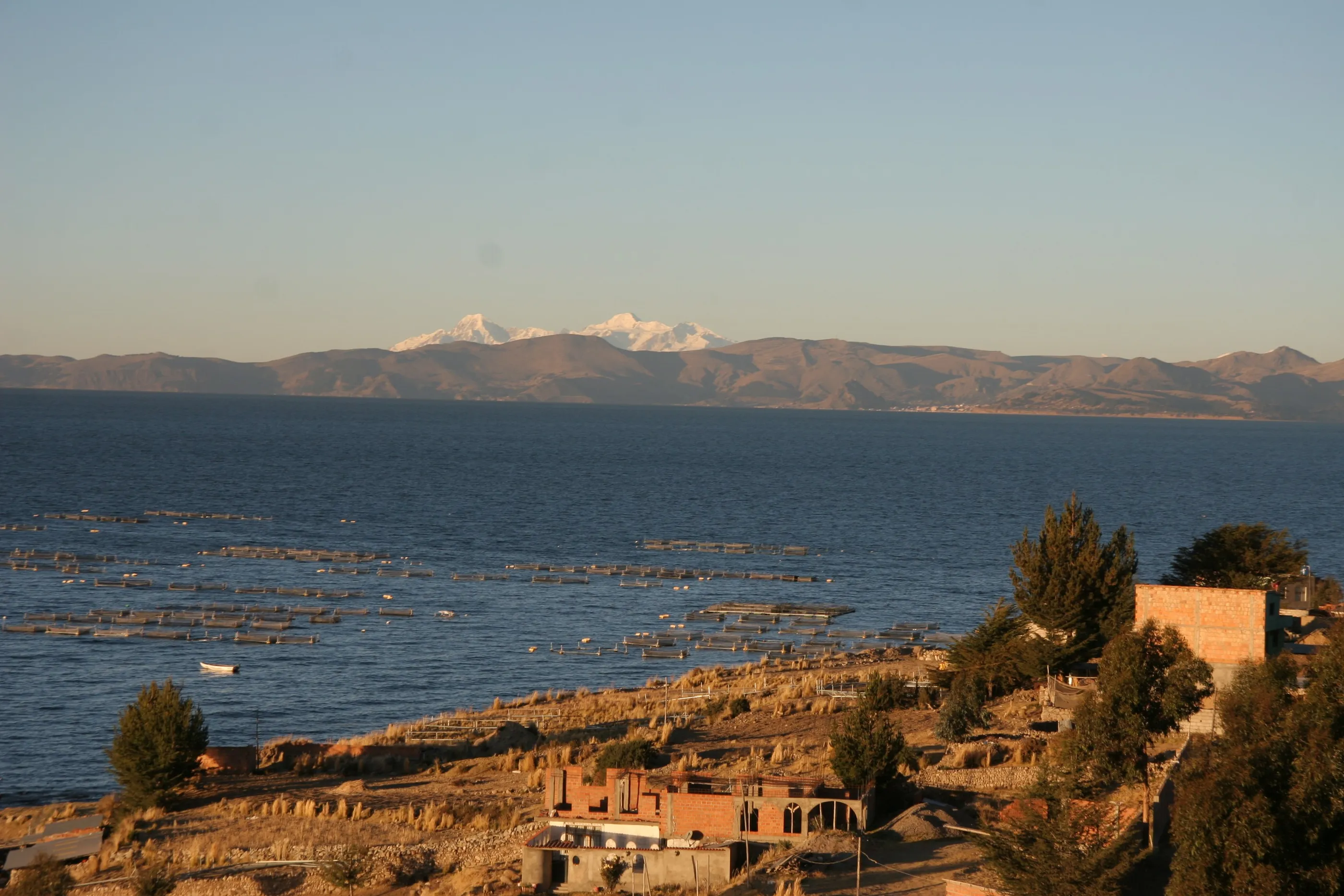
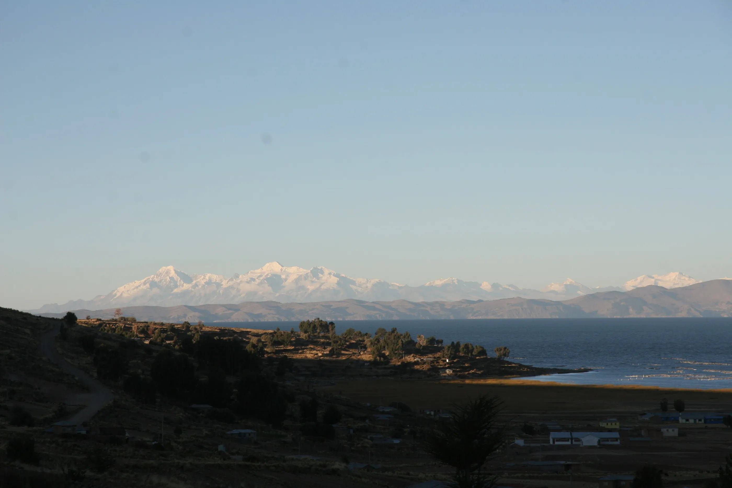
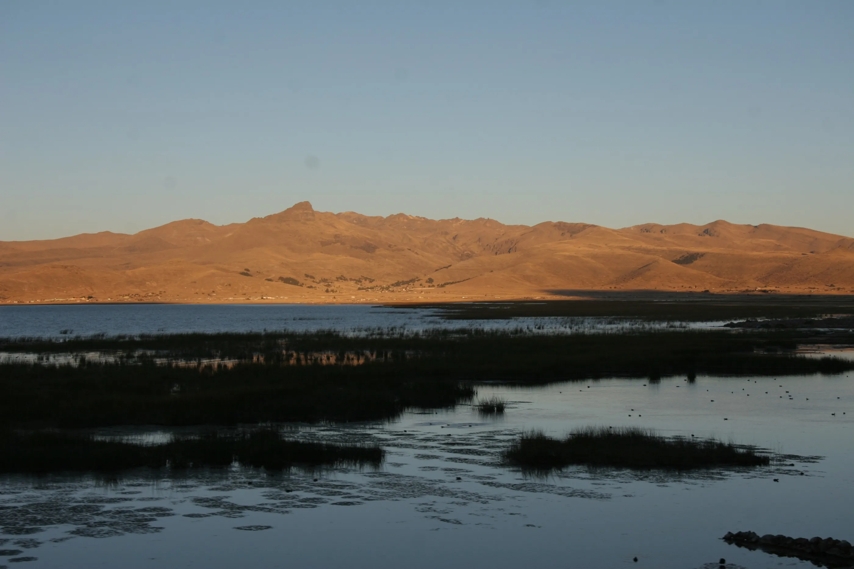
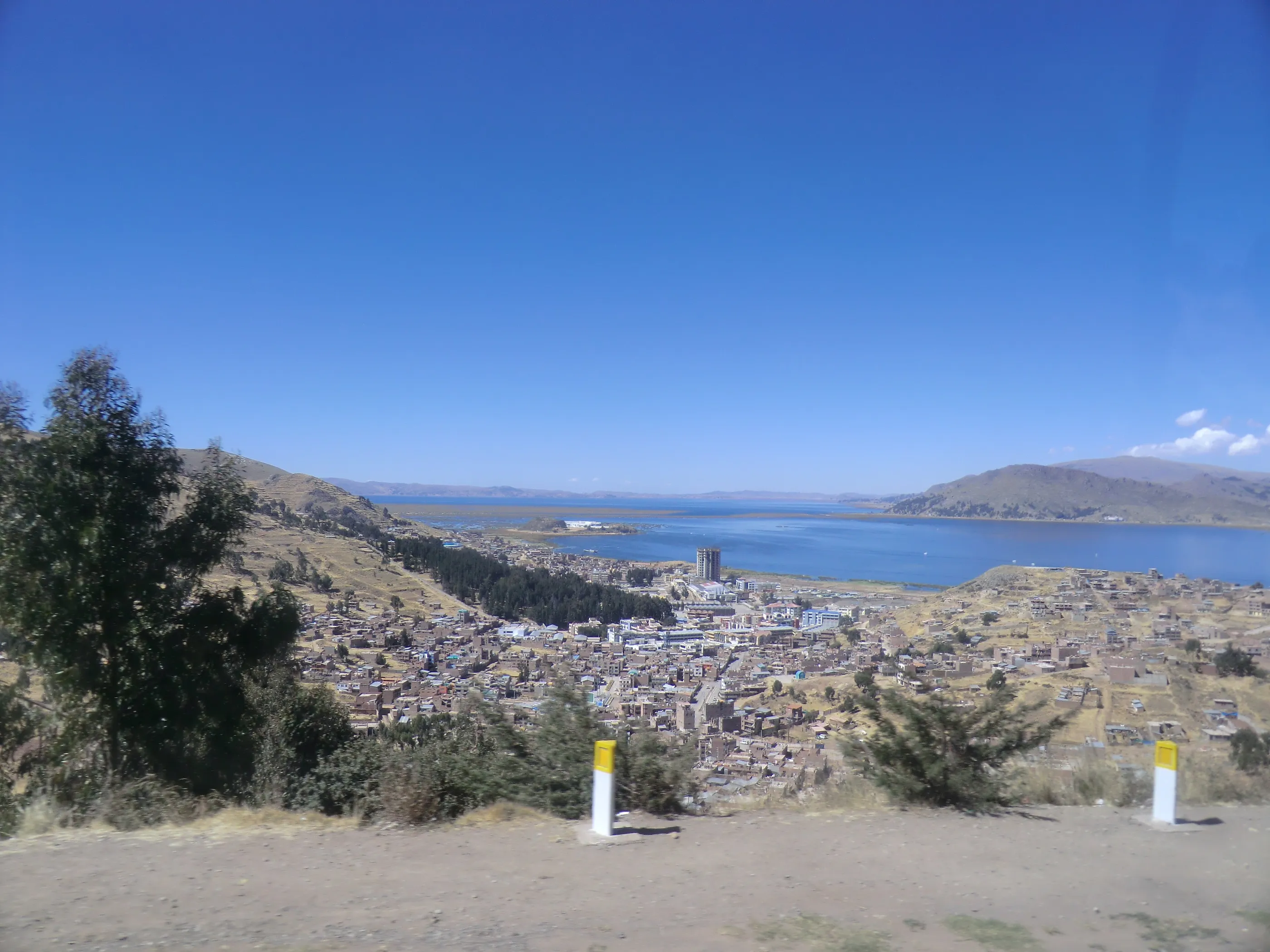
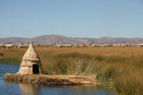
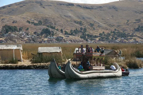
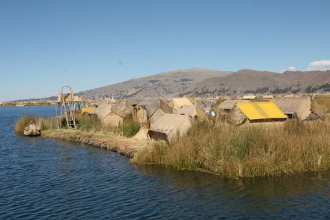
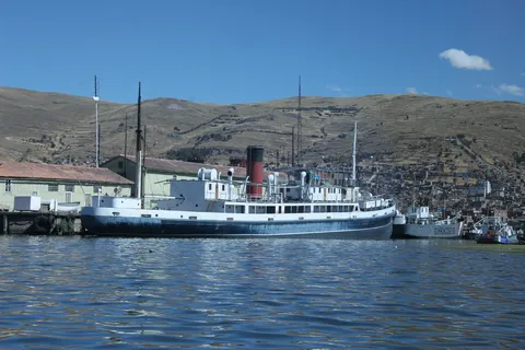
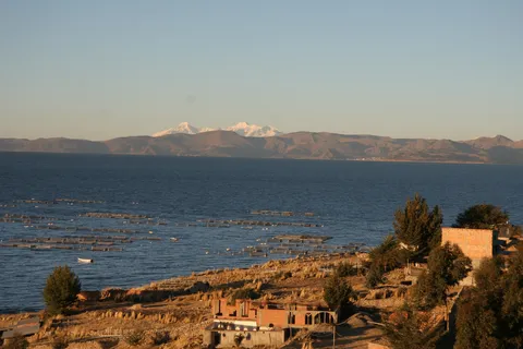
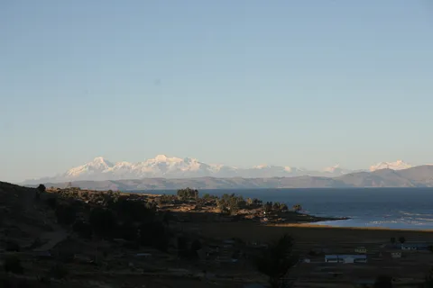
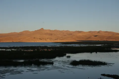
From Arequipa to Puno, then a boat out to the Uros, floating islands made of totora reeds, with their huts and puma-headed boats. Lake Titicaca keeps astonishing us with its vastness. In the evening the road follows the southern shore in golden light, facing the snows of the Cordillera Real — and we cross into Bolivia at night, at zero degrees.
By boat↗ 88 km
Copacabana and the Isla del Sol
Bolivia
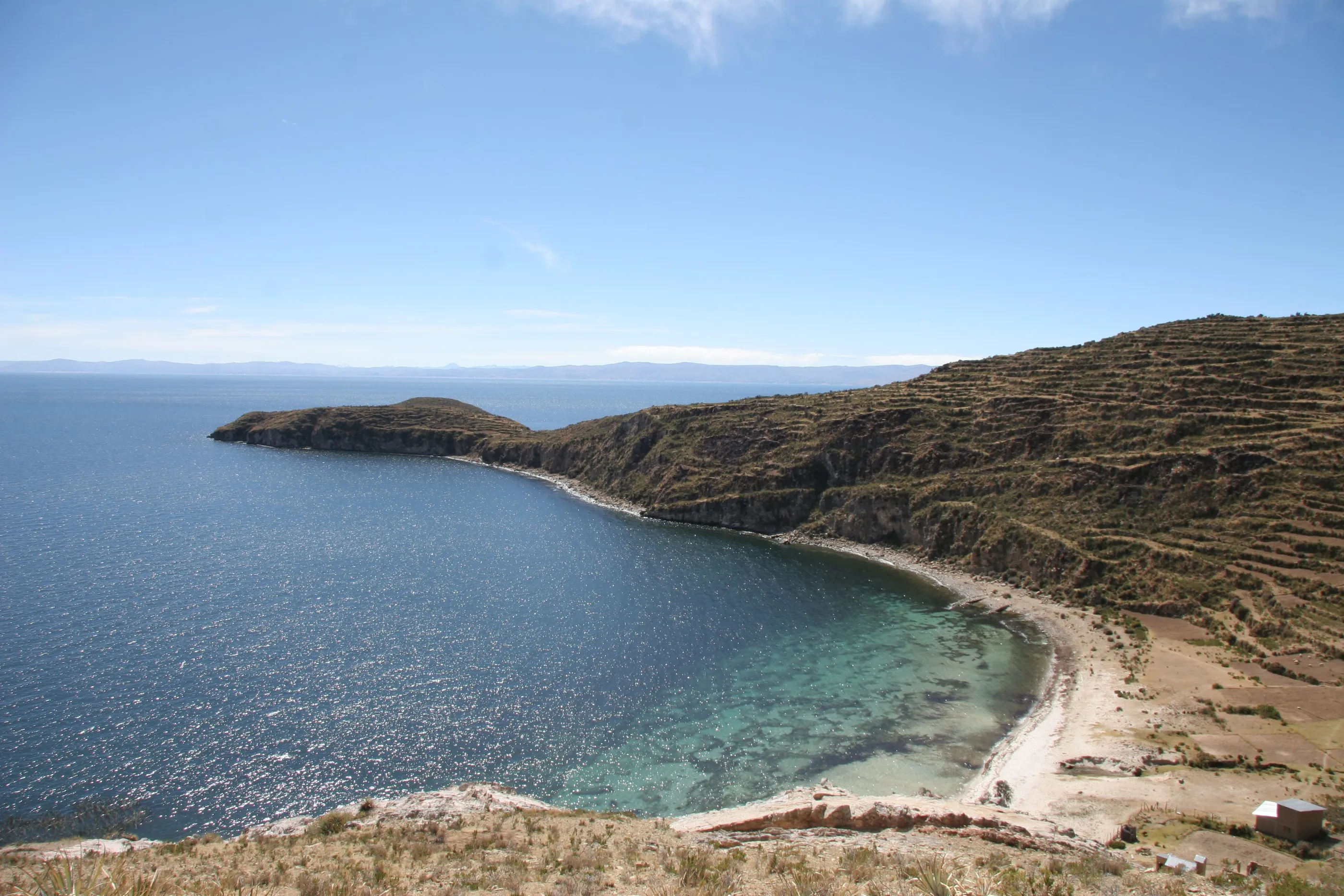
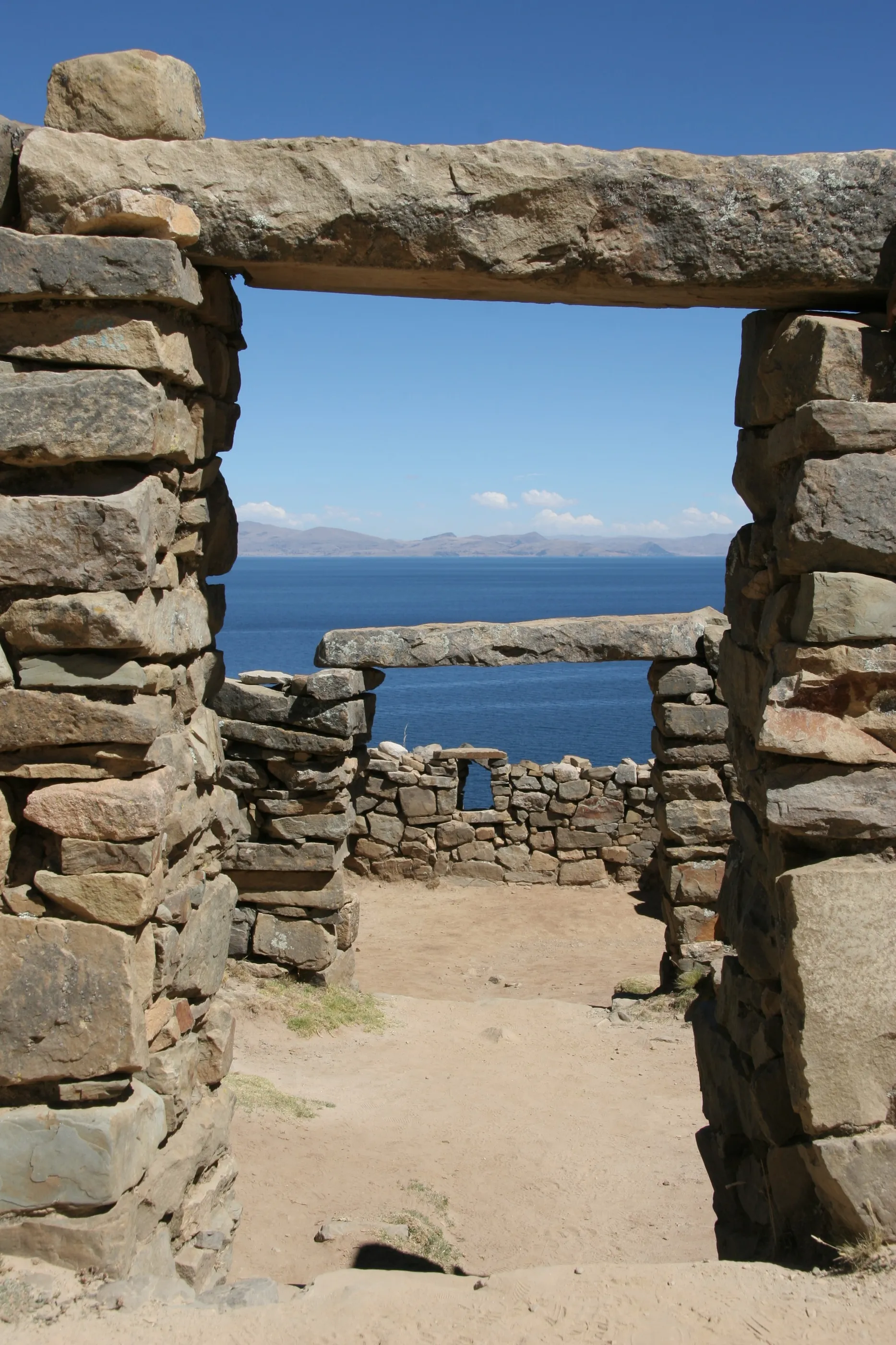
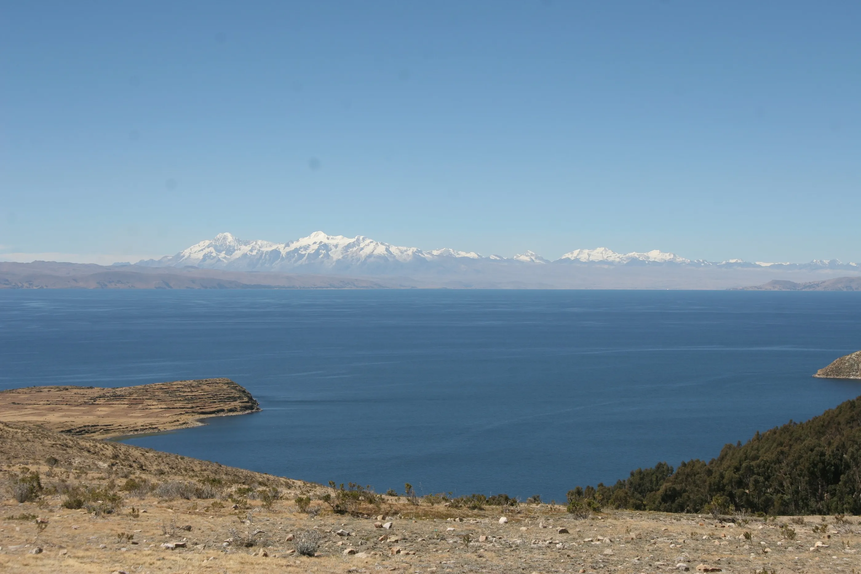
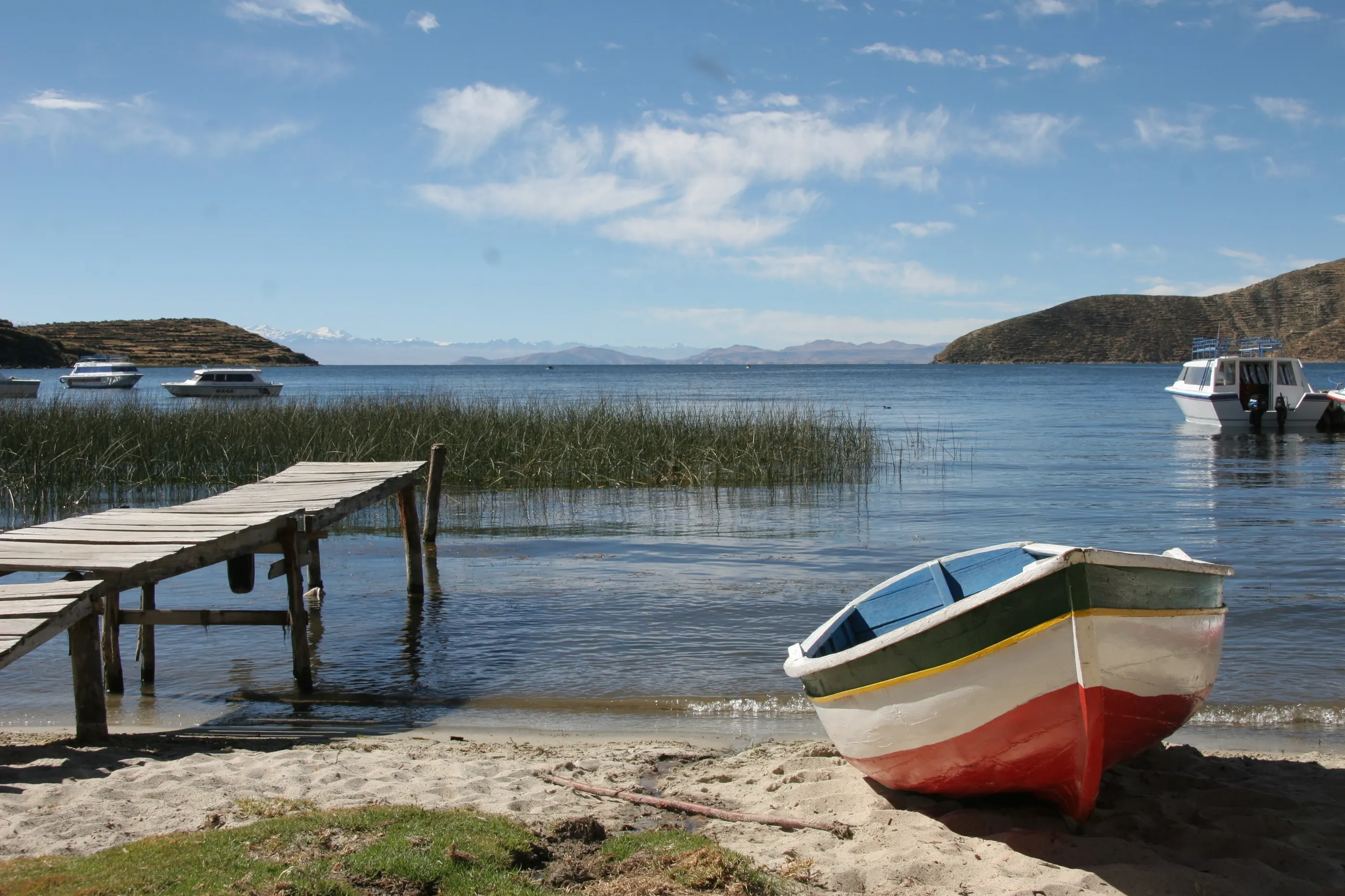
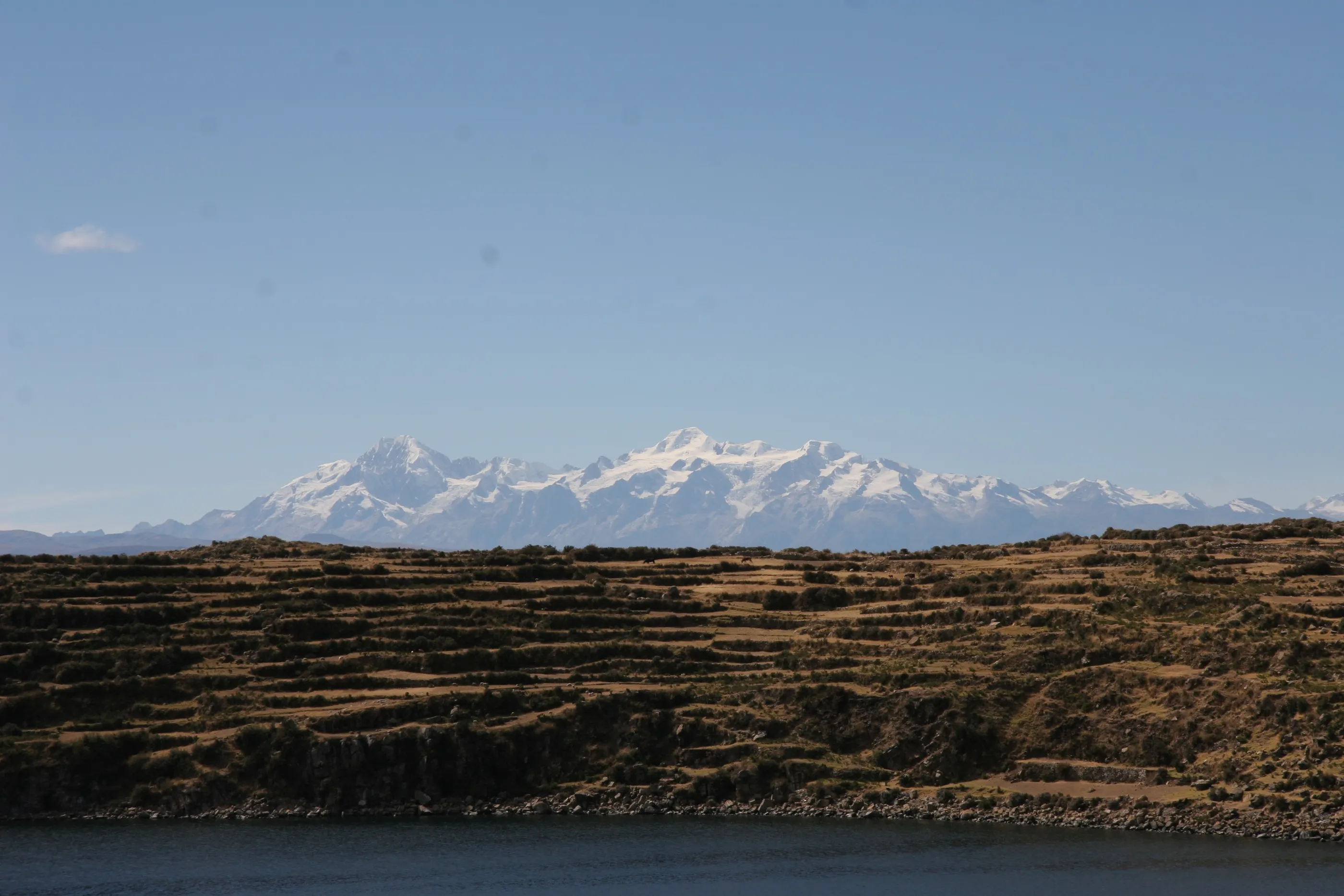
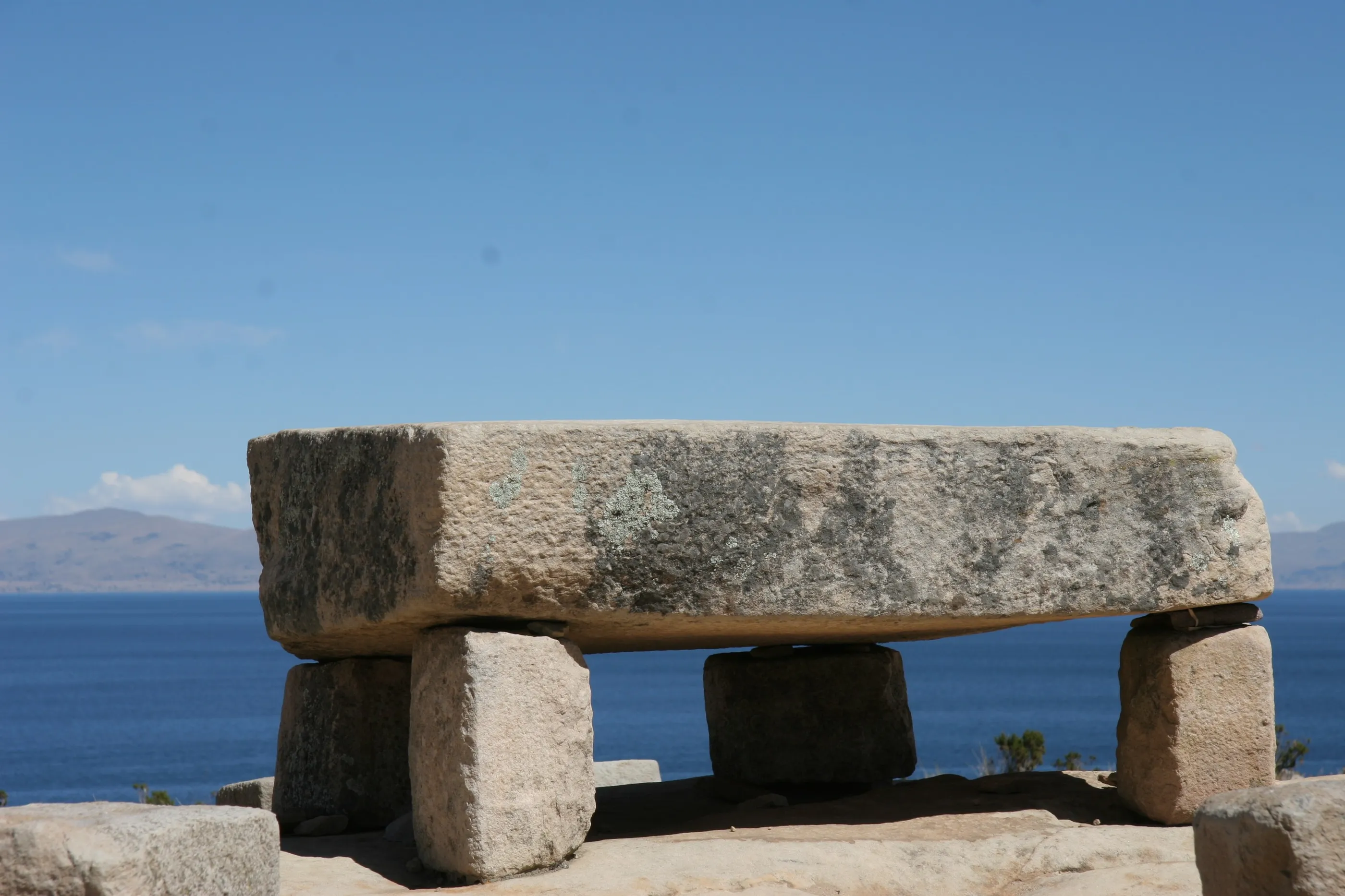
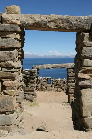
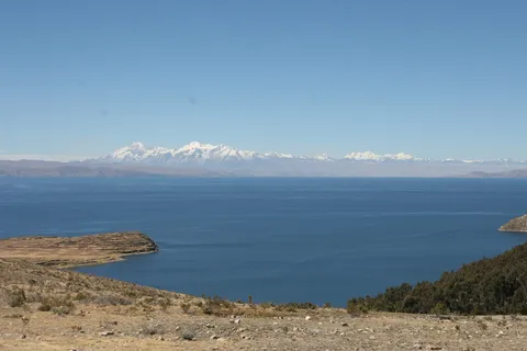
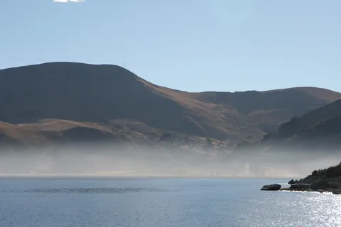
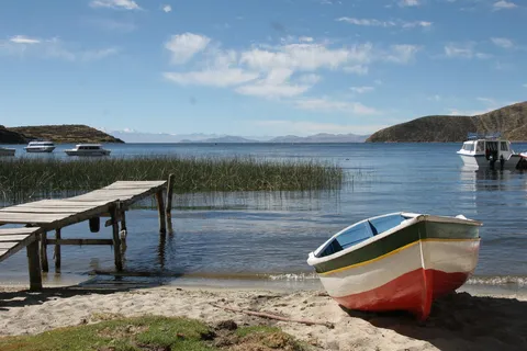
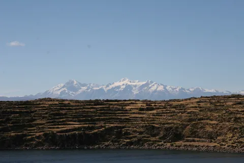
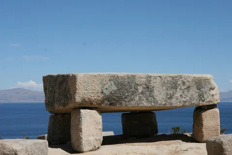
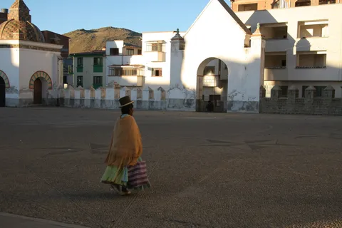
At daybreak, mist on the lake and the white basilica of Copacabana — this is indeed where Rio’s famous beach got its name. Two hours by boat to the sacred Island of the Sun, mythical cradle of the Incas, which we cross on foot from north to south: the Chincana ruins, terraces, turquoise coves, with the Cordillera Real as a backdrop. At 4,000 metres, altitude sickness is no legend; herbal teas and coca sweets work wonders.

By road↗ 123 km
La Paz
Bolivia
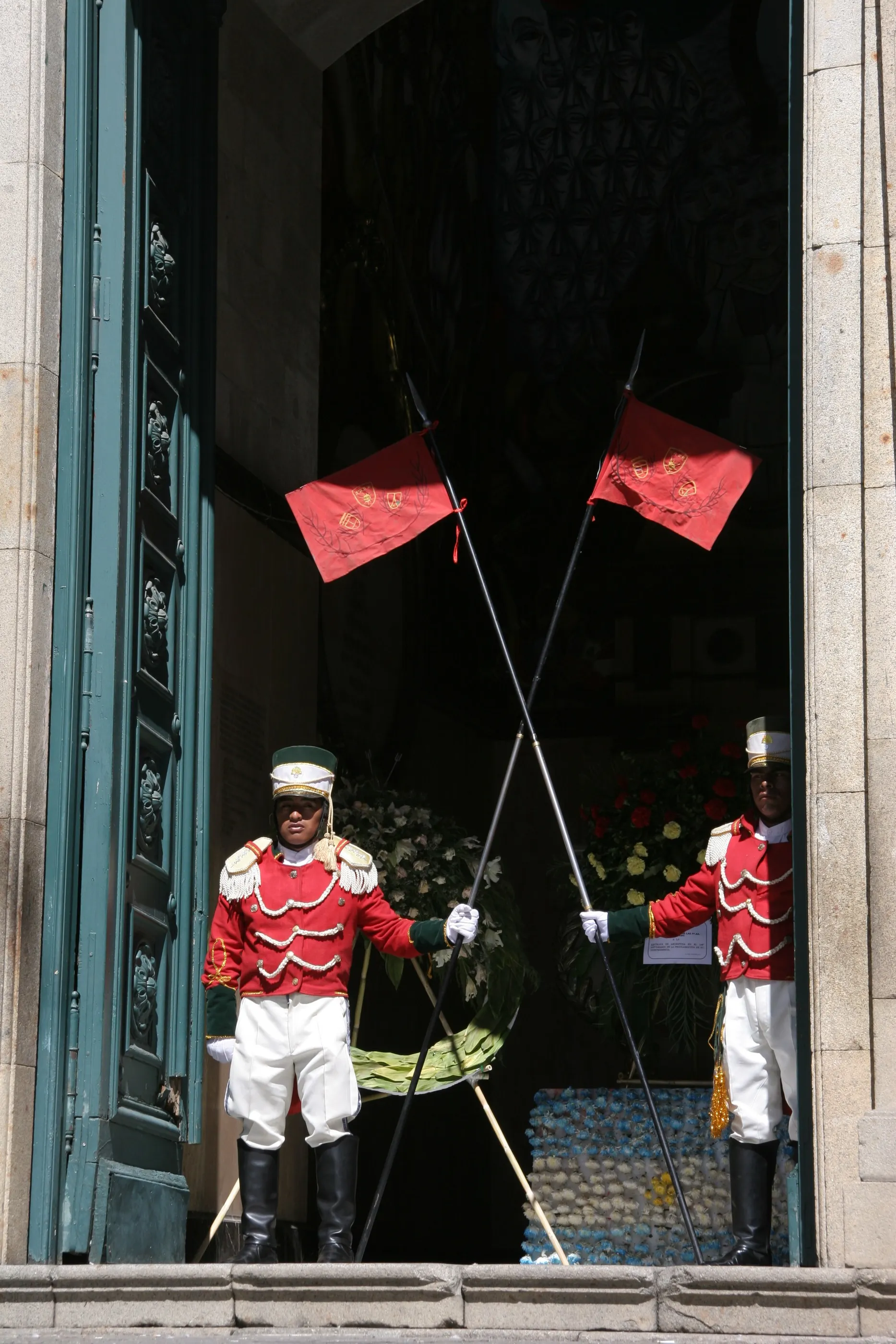
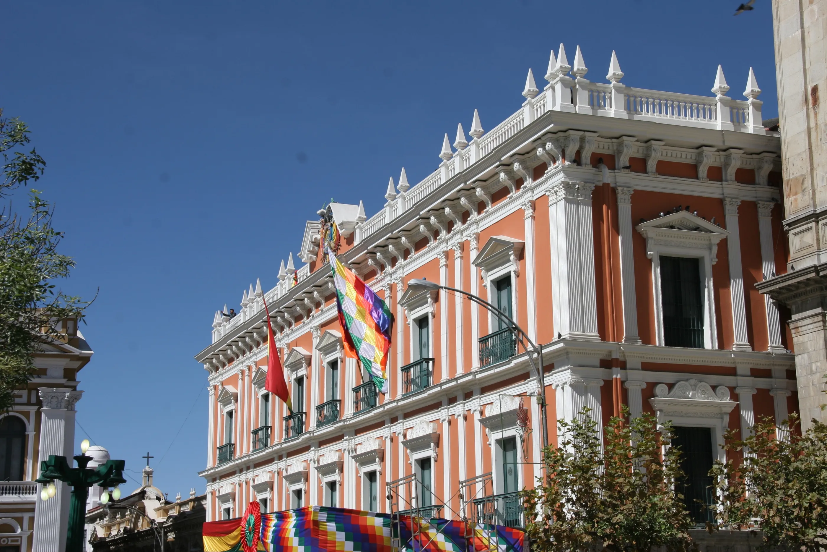
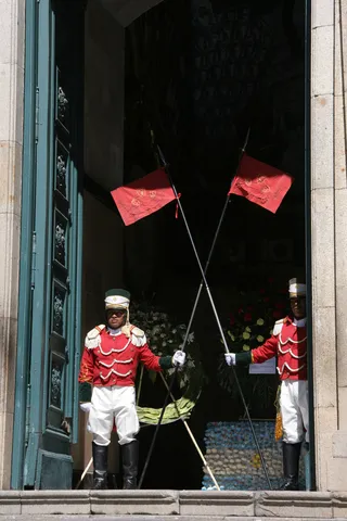
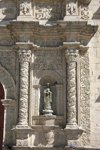
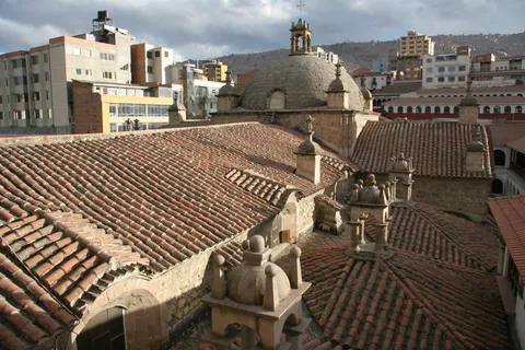
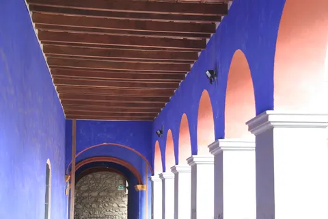
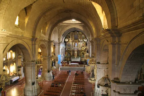
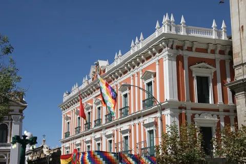
A taxi across the high plateau, and La Paz appears in its bowl, like red Lego bricks tossed onto the slopes. A very lively city, a little run-down but full of soul. On Plaza Murillo, the red-uniformed guard outside the government palace, and on the parliament building the brand-new “southern” clock that runs backwards; in the streets, military parades celebrate the uprising of 1809. We buy alpaca wool sweaters there — we would soon understand why.
By road↗ 606 km
Tupiza and El Sillar
Bolivia
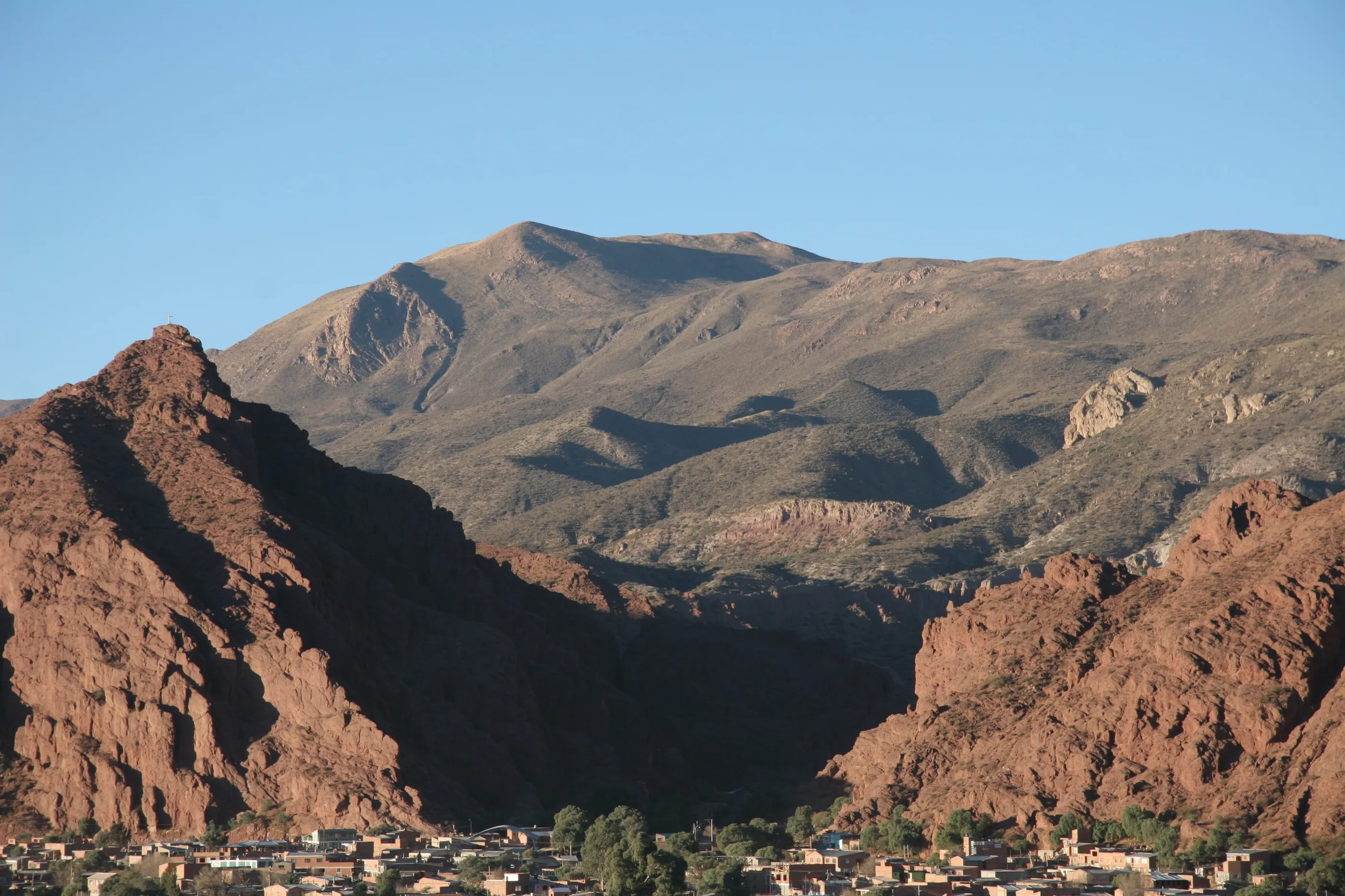
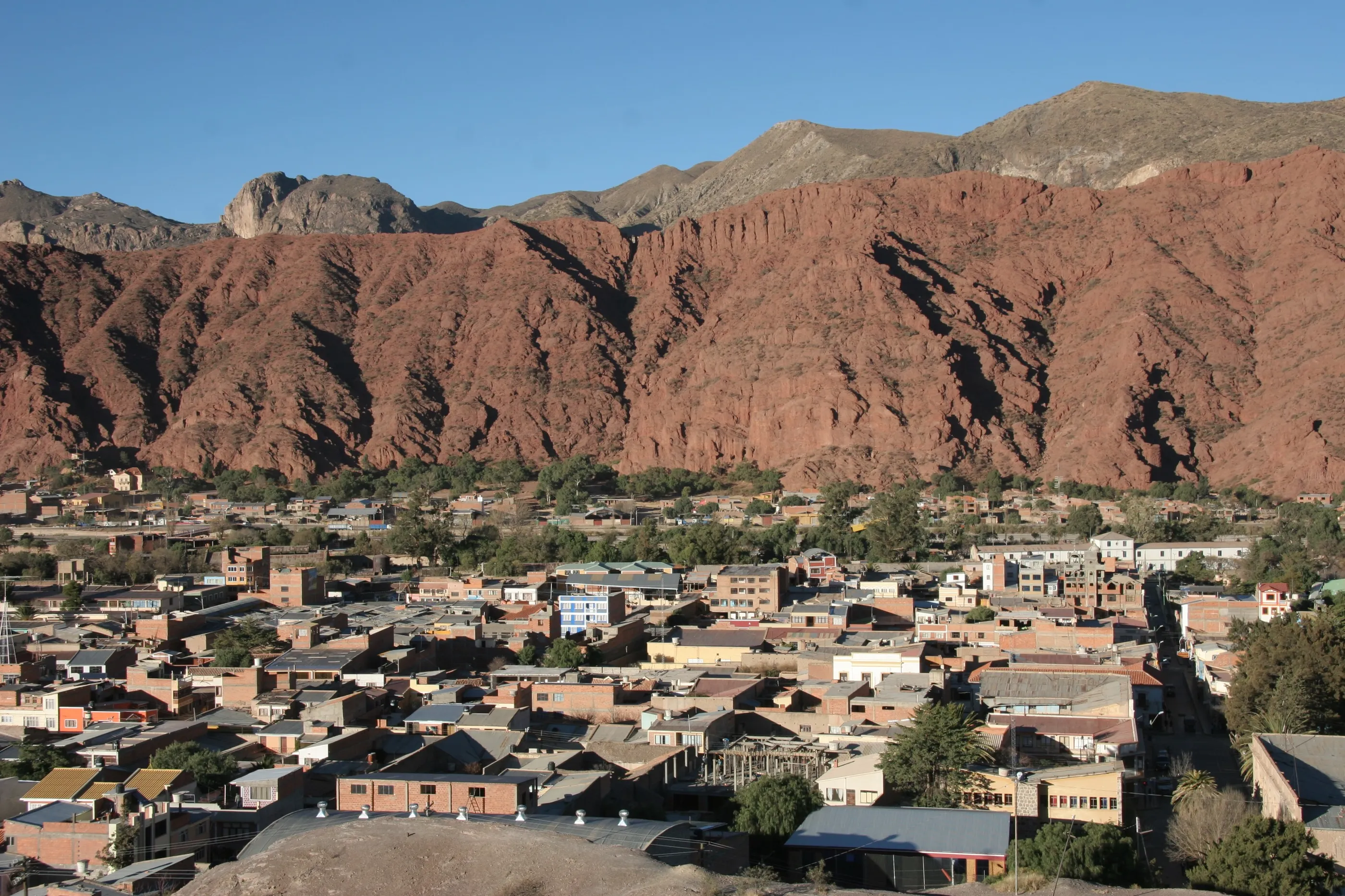
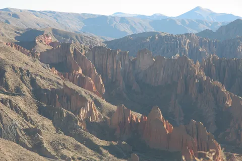
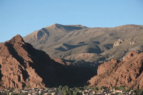
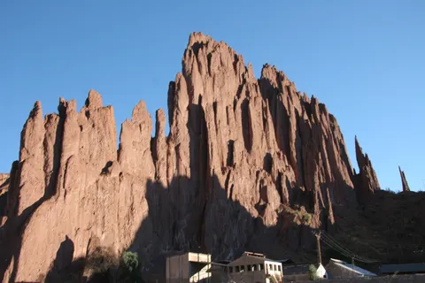
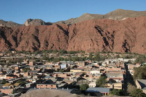
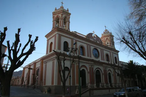
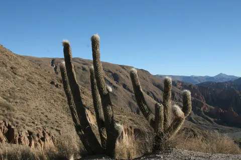
A legendary night on the bus heading south: no toilets, stops negotiated with the driver, and condensation freezing on the inside of the windows. Arriving two and a half hours late, we have all the time we need to arrange our jeep expedition and admire Tupiza at the foot of its red cliffs, ablaze at sunset. The next morning at dawn, the spires of El Sillar and canyons straight out of a western.
By road↗ 129 km
San Antonio de Lípez
Bolivia
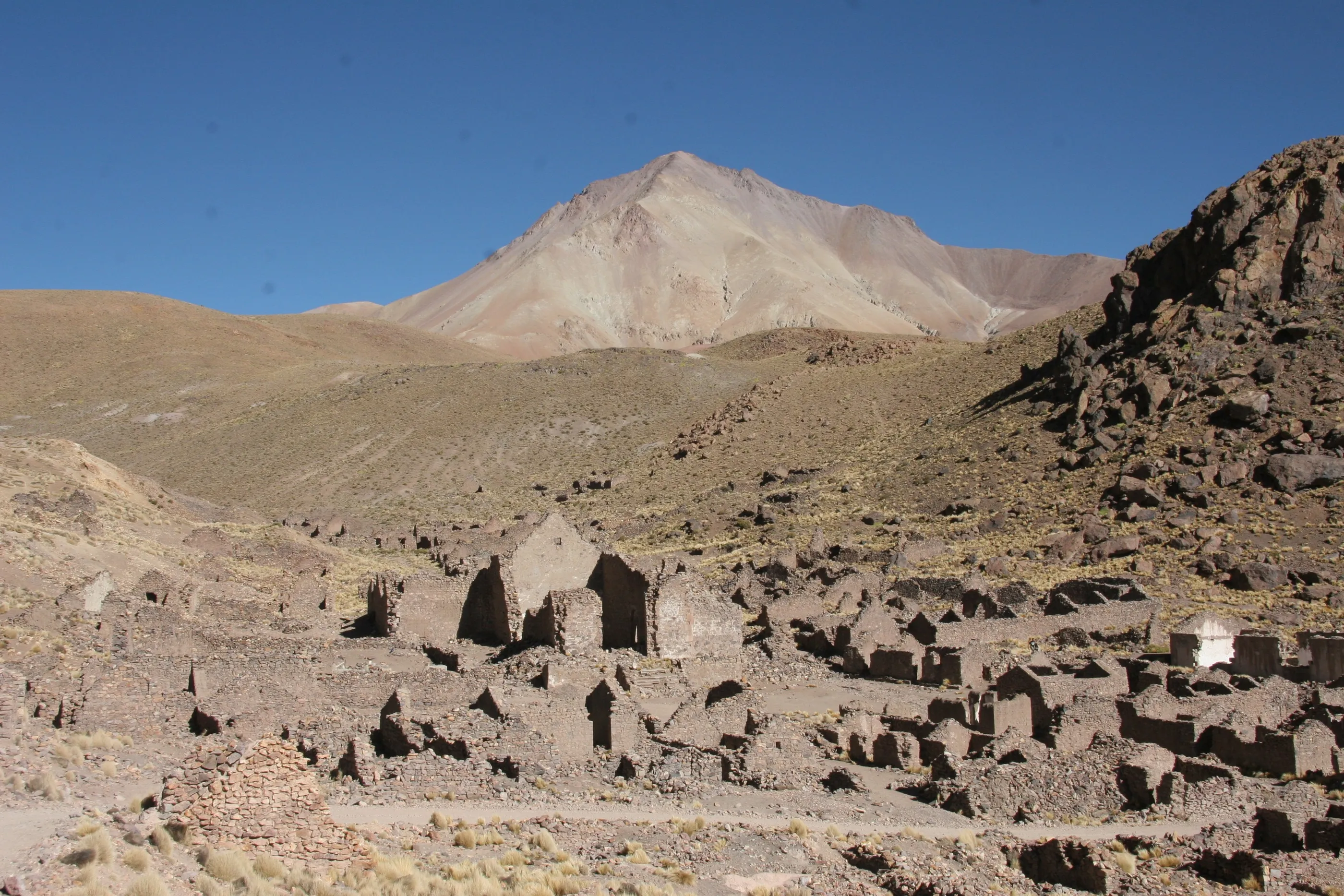
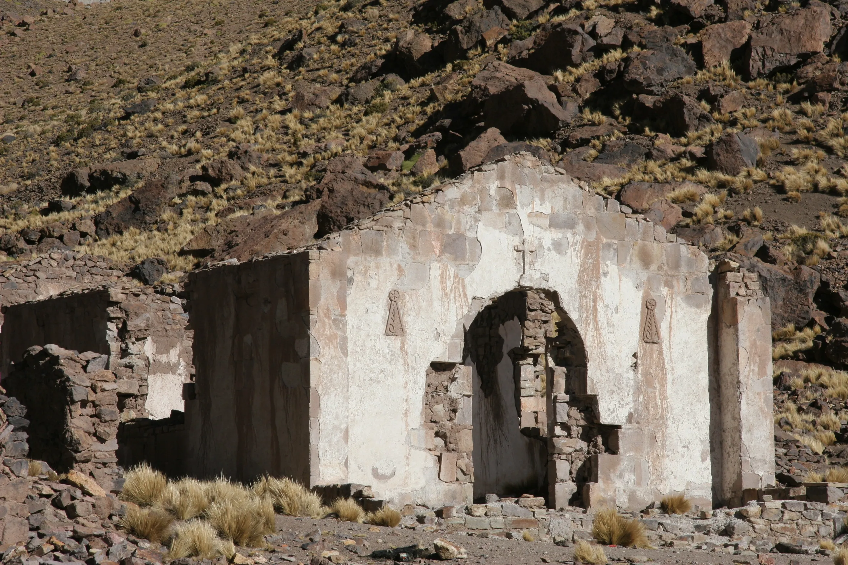
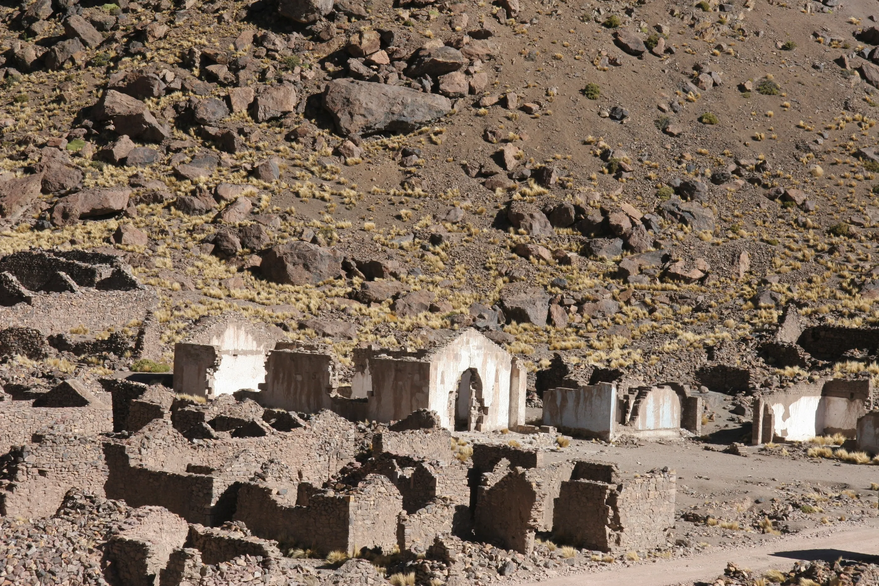
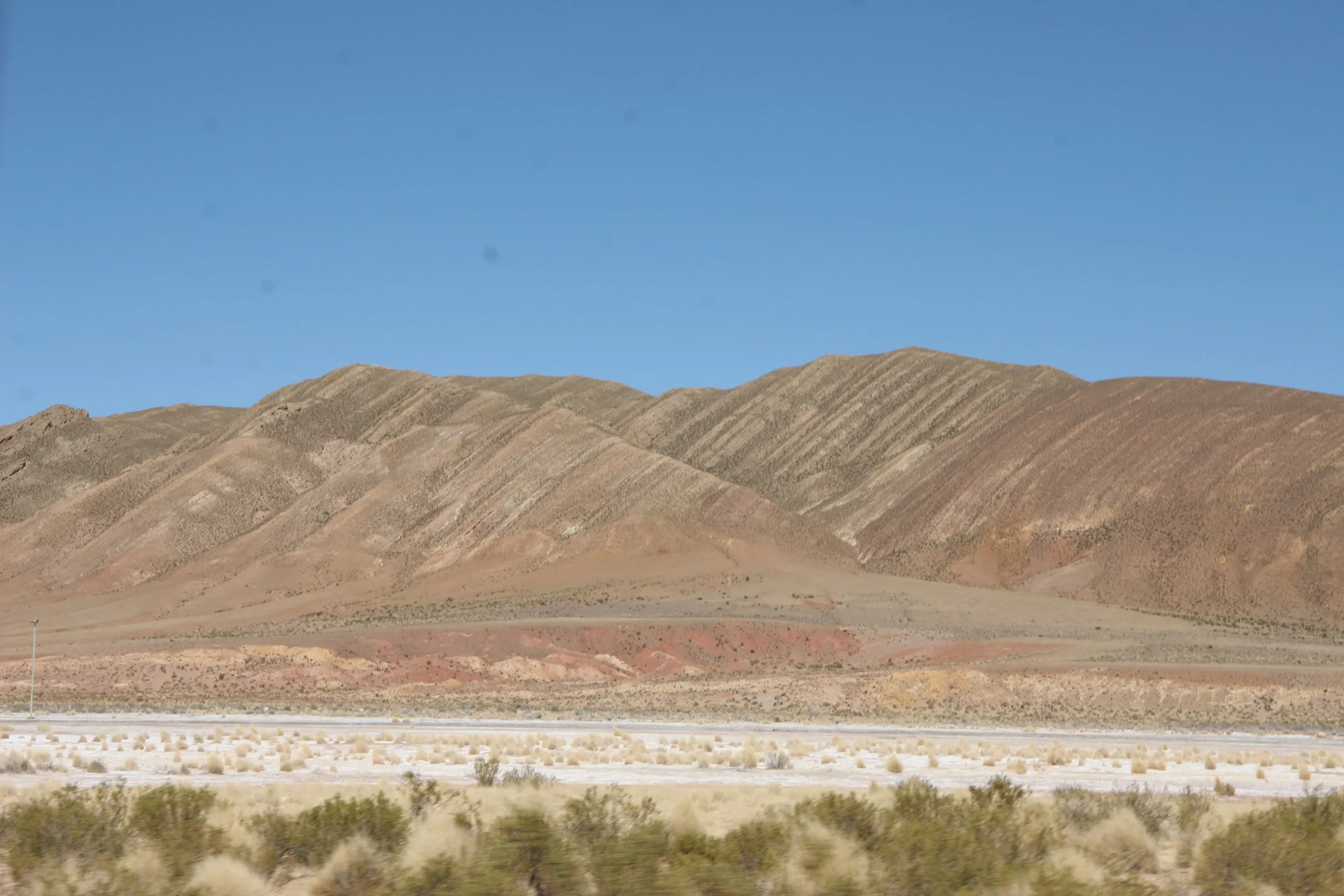
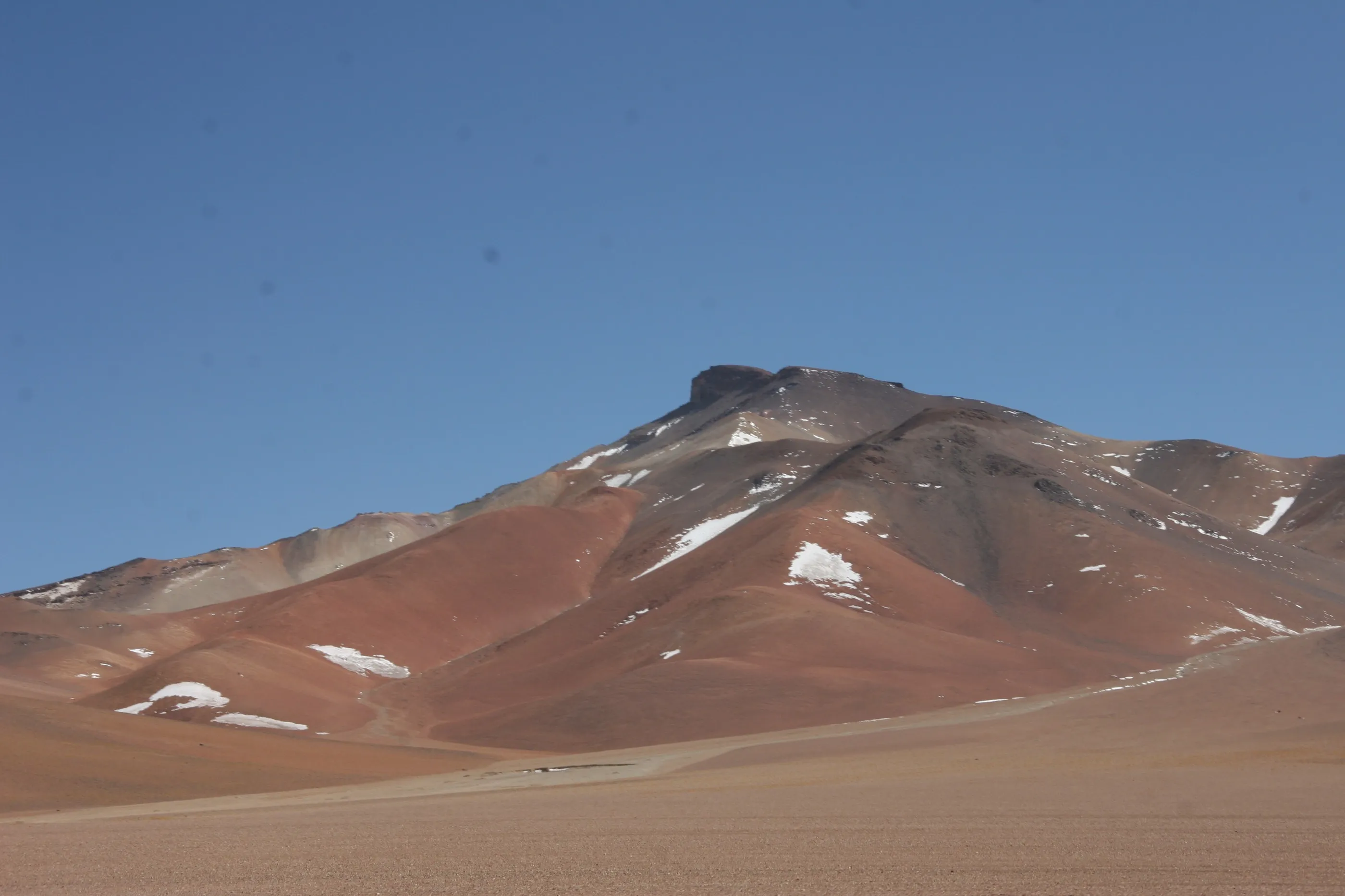
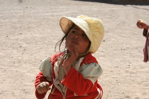
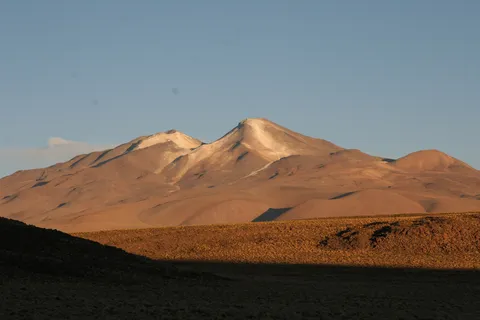
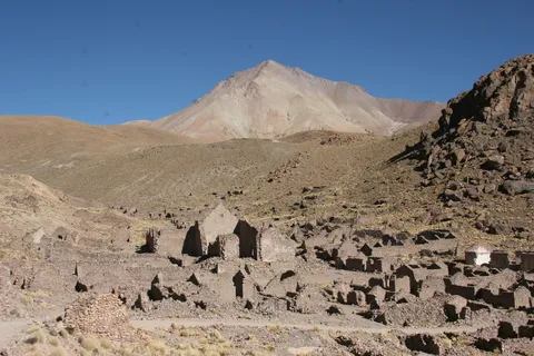
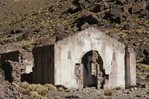
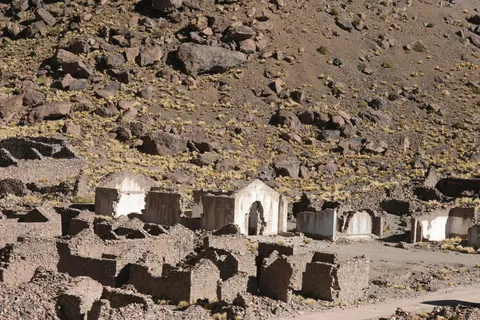
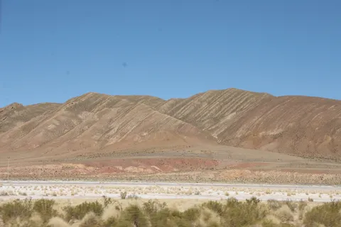
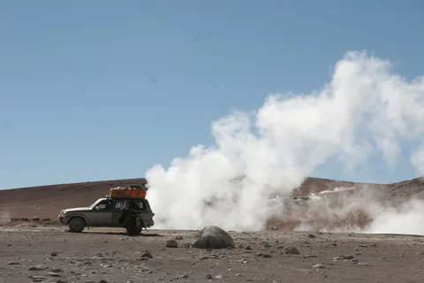
The Sud Lípez begins: a jeep, our bags on the roof, and every kind of terrain, from scree to sand, from stream to ice. The colours roll by, from yellow to red to aubergine; llamas pass by the hundred, a viscacha pops up at the edge of the track. San Antonio de Lípez, a colonial mining village, was abandoned some thirty years ago — because of too many ghosts, we are told. At lunch, little Quechua girls watch us, fascinated by our Pringles; the night, above 4,000 metres, is freezing.
By road↗ 143 km
Laguna Blanca and Laguna Verde
Bolivia
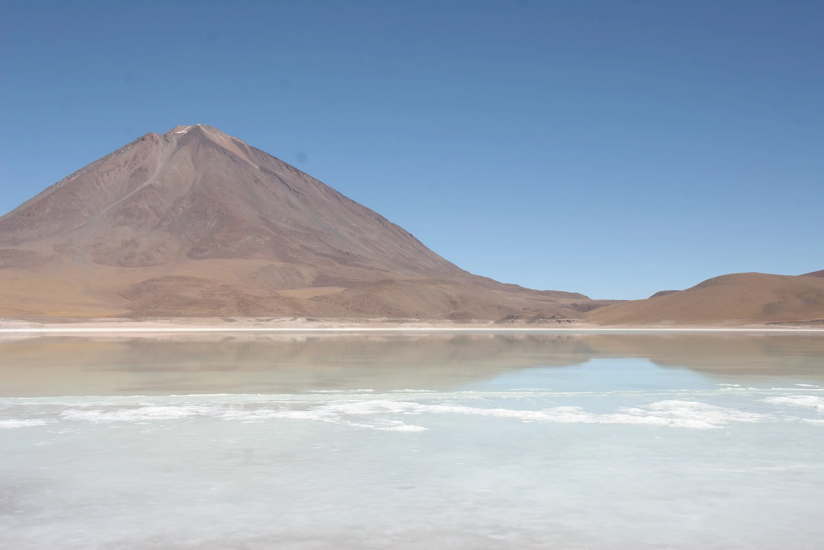
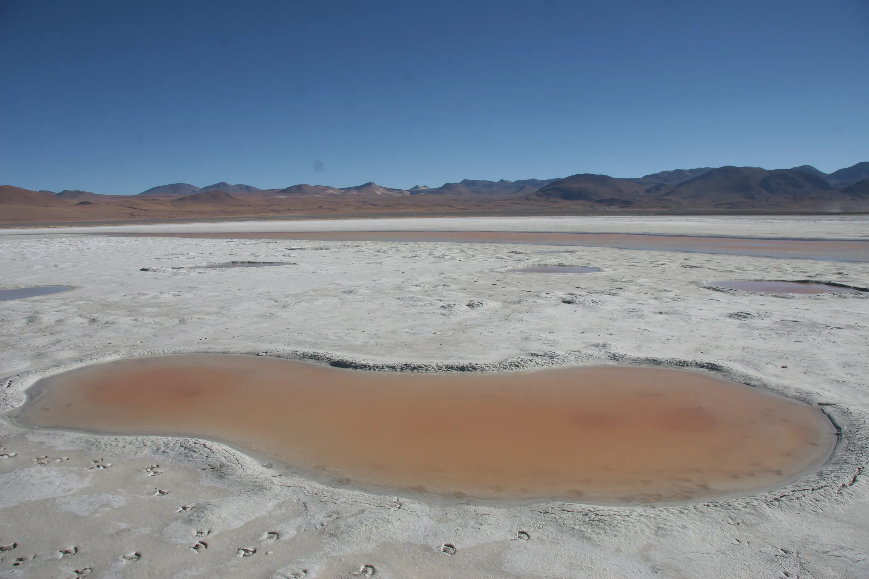
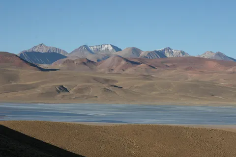
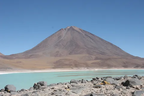
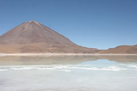
At daybreak, well wrapped in our alpaca sweaters. In the far south, against the Chilean border, Licancabur is mirrored in the still waters of Laguna Blanca, then towers over the mineral green of Laguna Verde. In winter many lagoons are frozen, yet they keep their colours — white, green, red or black, depending on the minerals or algae they hold.
By road↗ 21 km
Dalí Desert and Polques hot springs
Bolivia
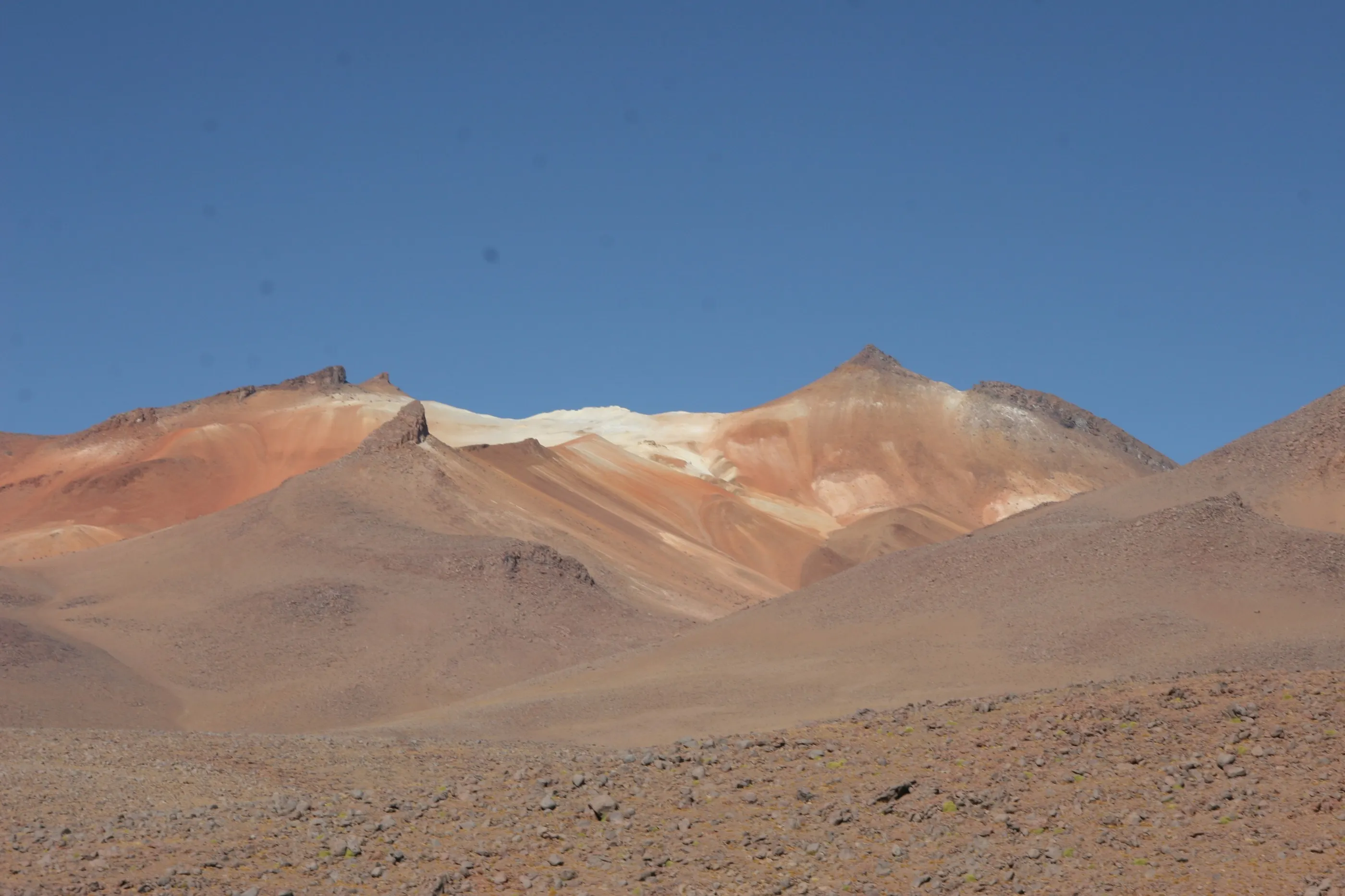
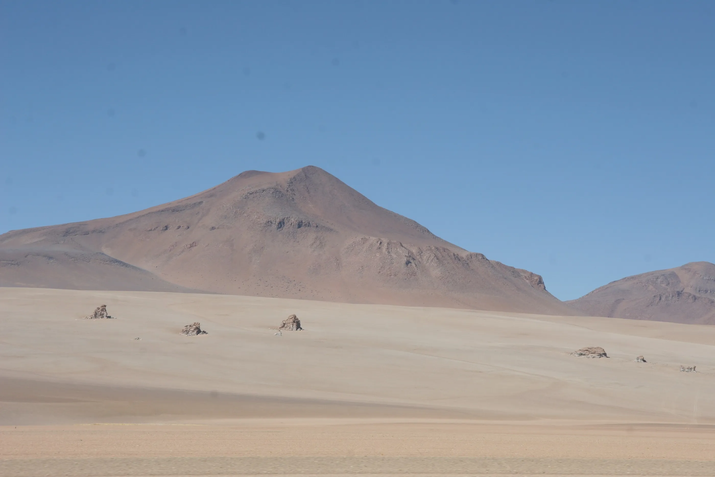
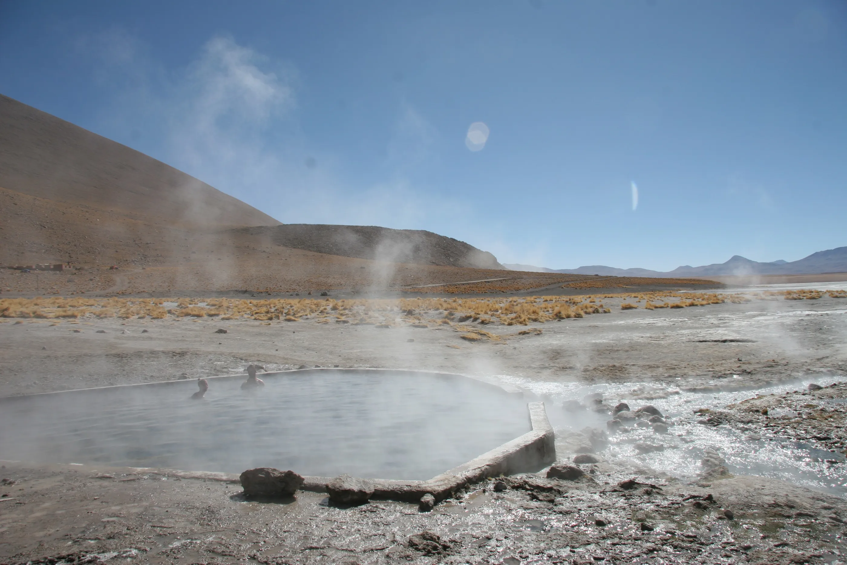
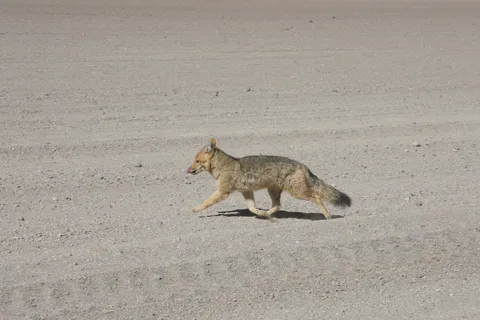
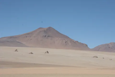
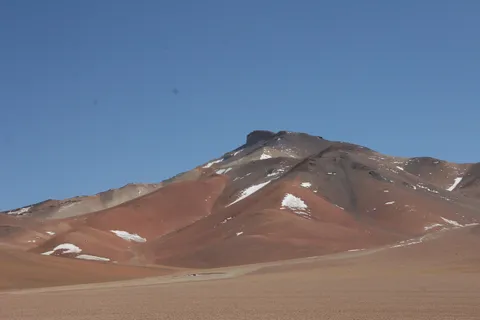
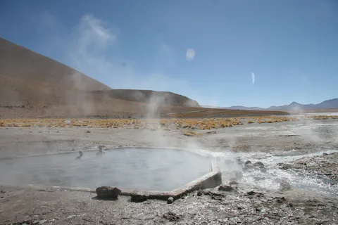
Rocks scattered over pastel slopes, as if placed there by Dalí himself. A small Andean fox crosses the track; a few 4×4s kick up dust with a hint of the Paris–Dakar rally. A welcome break in the sulphurous waters of the Polques hot springs, between 35 and 38 °C, before lunch near the Chilean border.

By road↗ 21 km
Sol de Mañana geysers
Bolivia
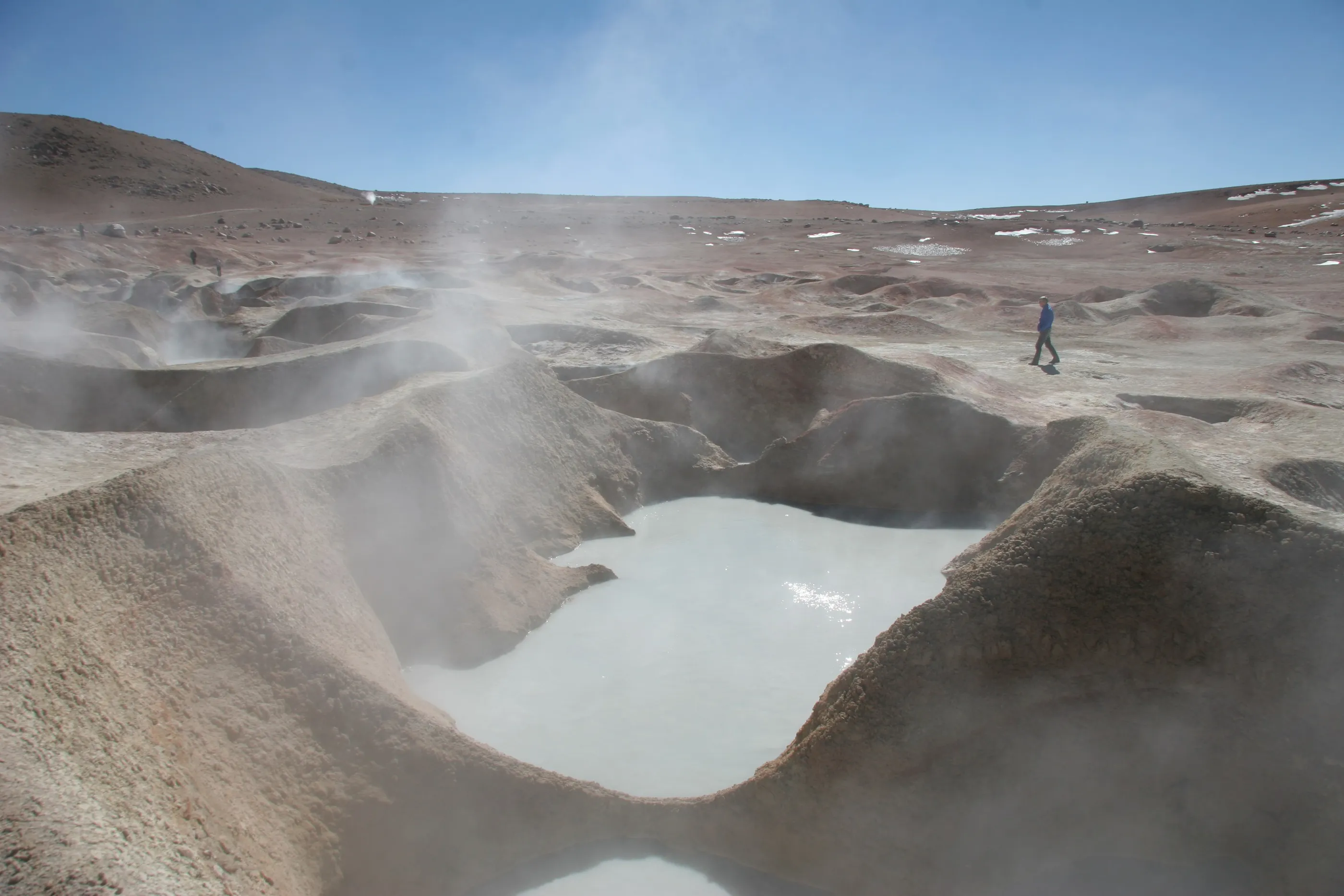
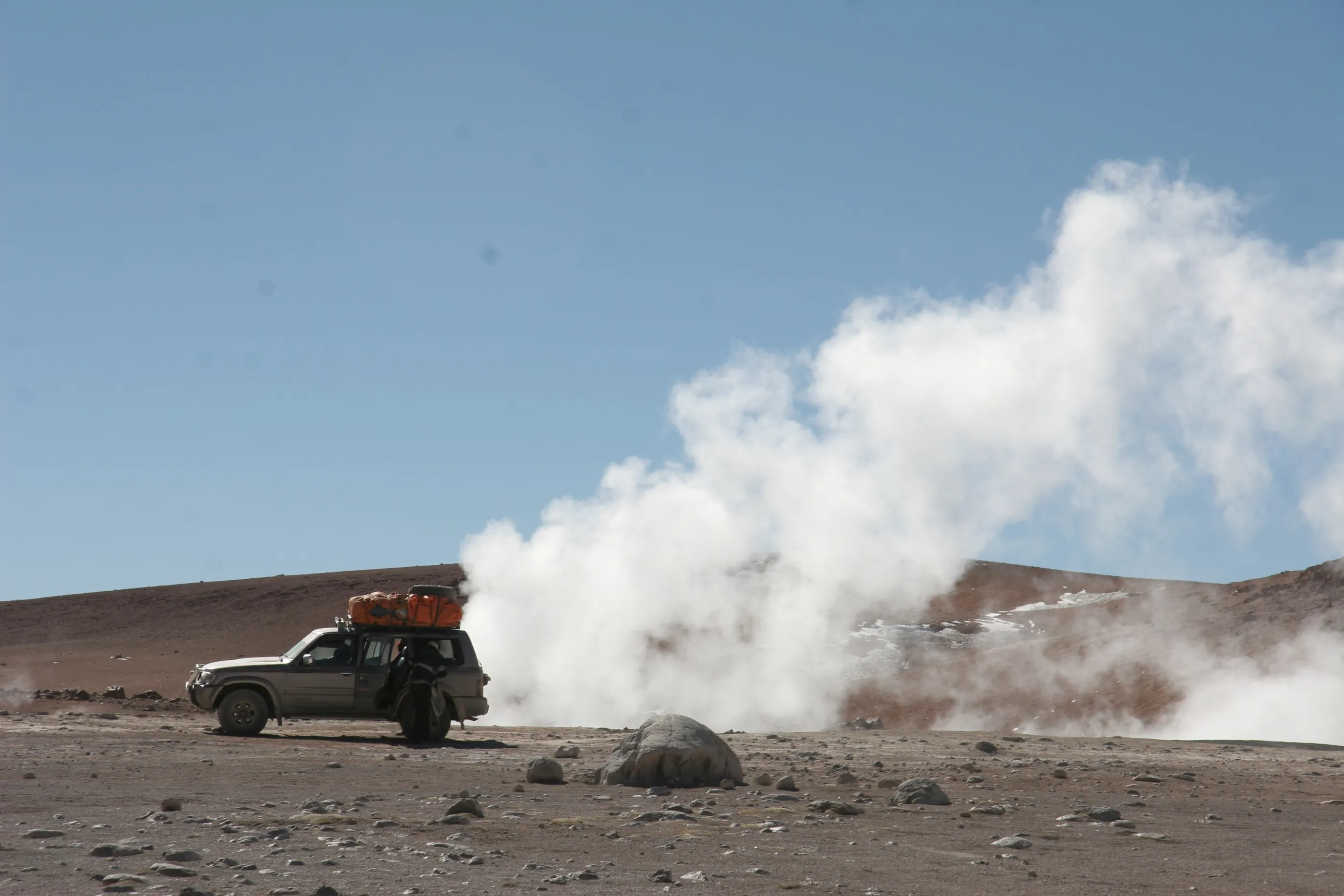
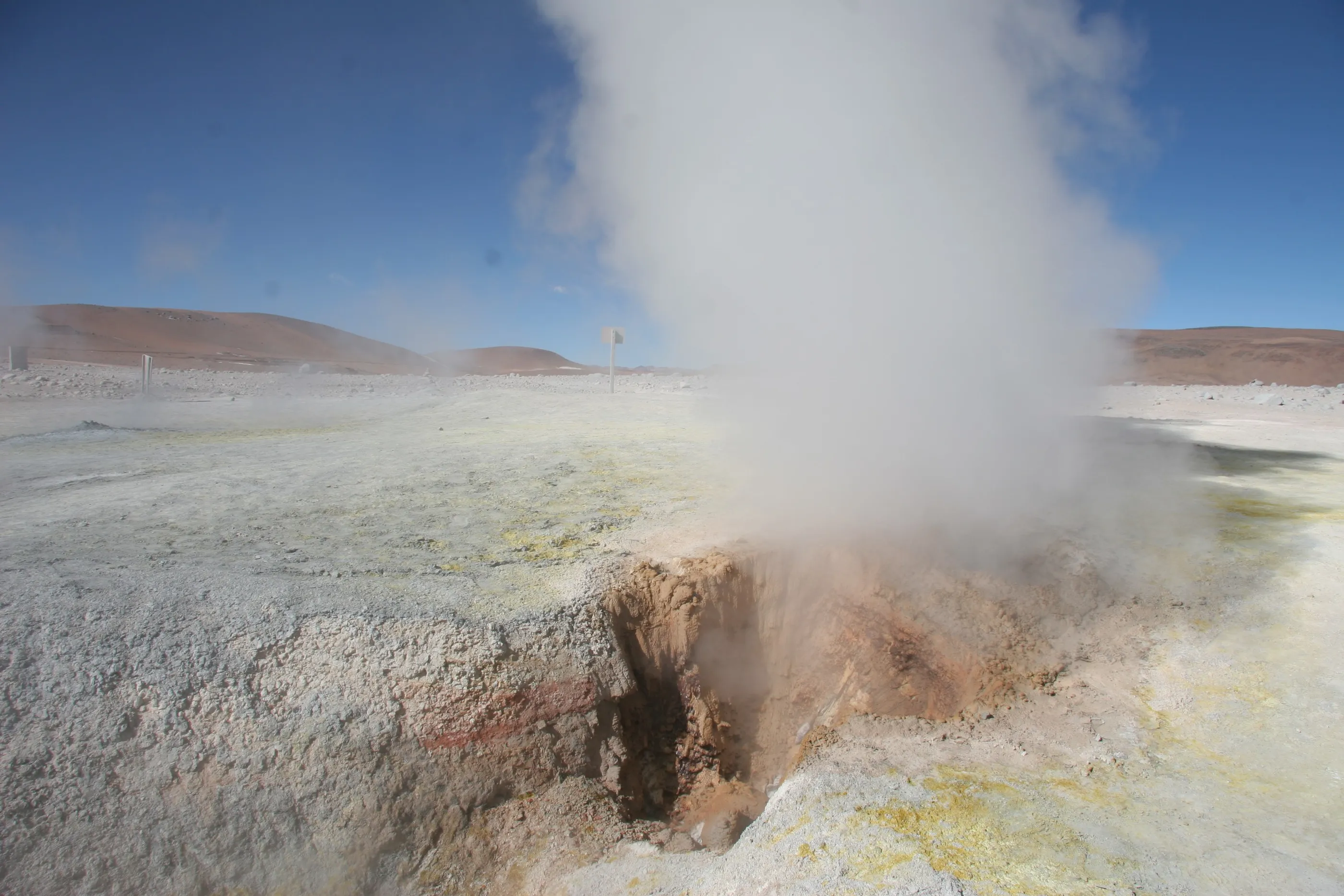
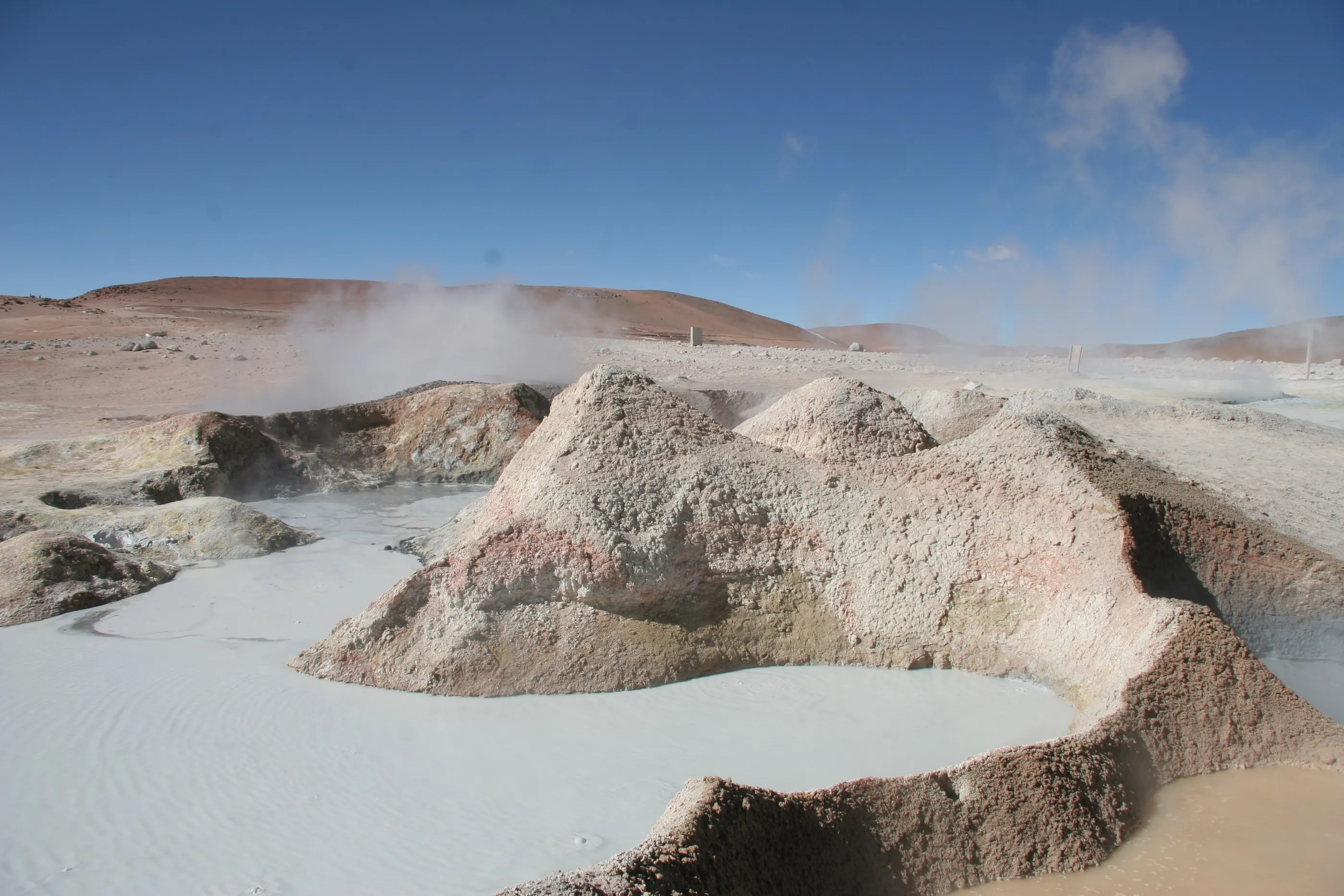
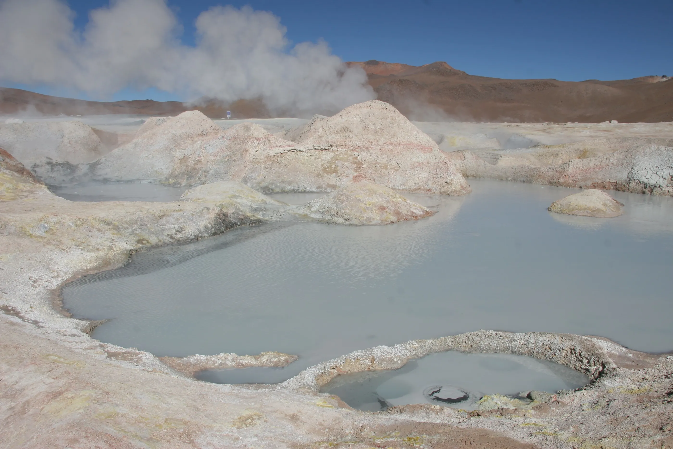
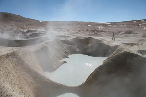
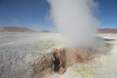
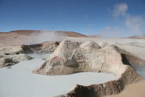
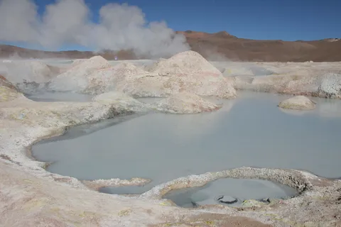
Close to 5,000 metres up, the earth is boiling. Jets of steam, bubbling grey mud, sulphur-stained fumaroles — a landscape from the dawn of the world, in the smell of rotten eggs and the biting cold.
By road↗ 26 km
Laguna Colorada
Bolivia
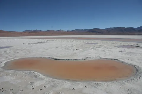
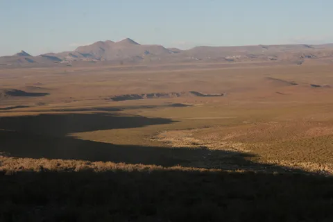
Late afternoon on the red lagoon, fringed with white borax, where hundreds of James’s flamingos filter the water. We walk closer to watch them. The sun sets fast, shadows lengthen across the Altiplano; still no shower, but we put up with each other.
By road↗ 85 km
Valle de las Rocas and Laguna Negra
Bolivia
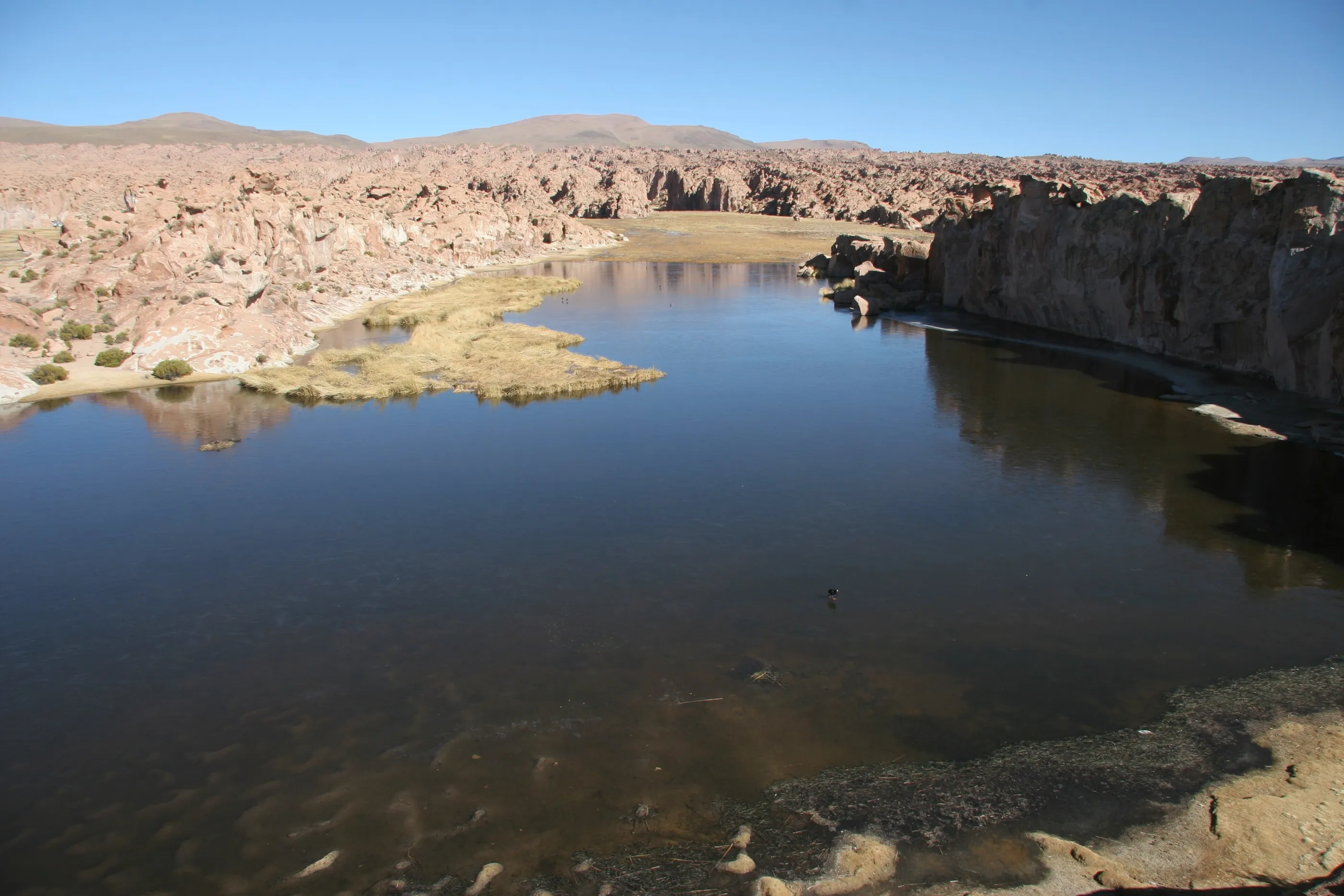
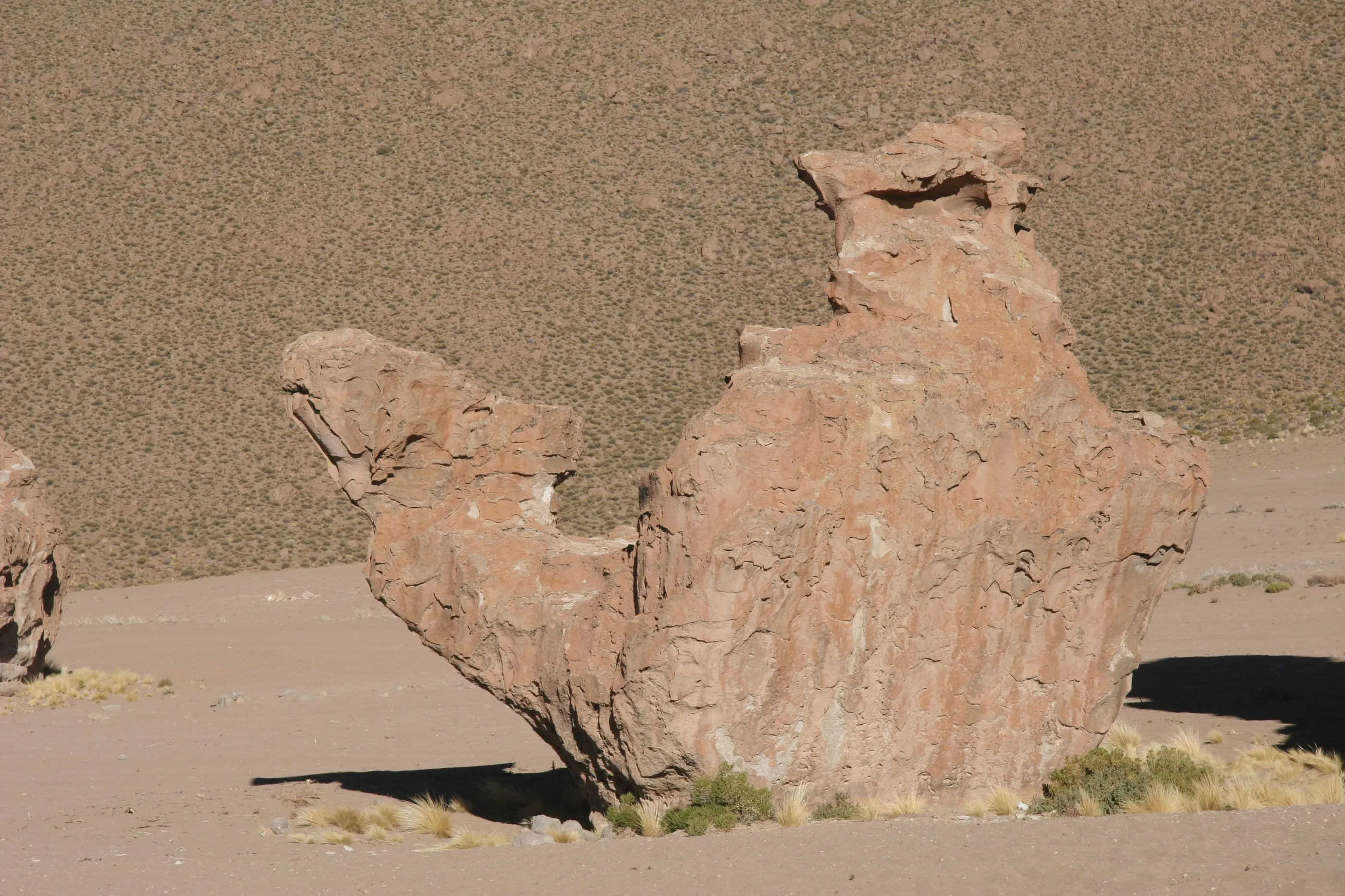
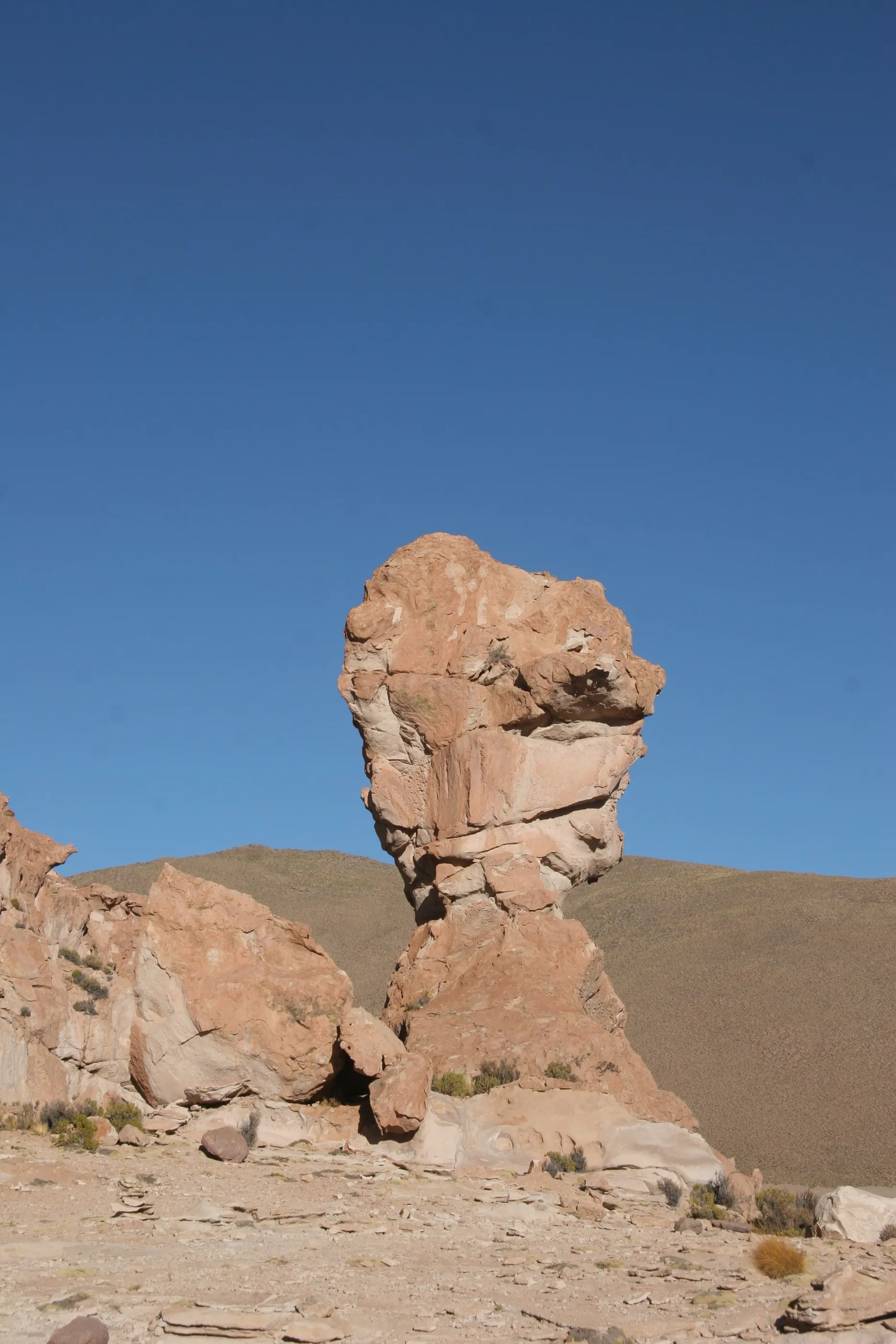
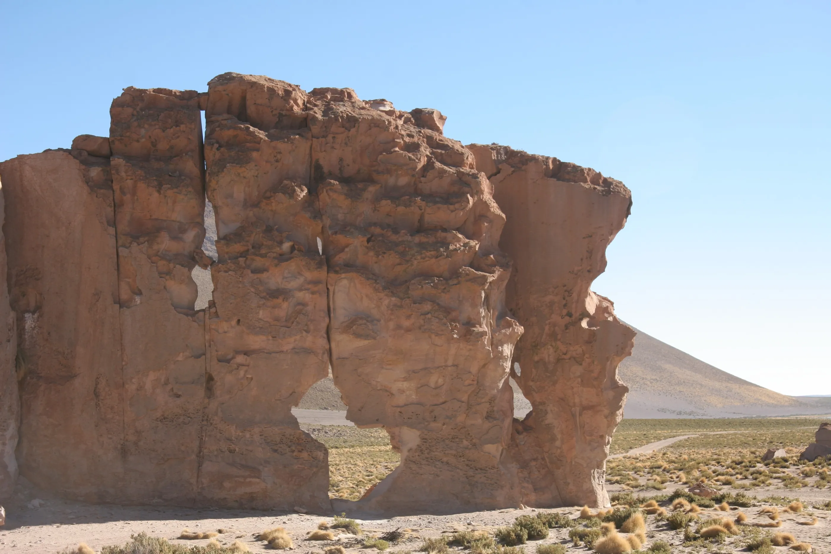
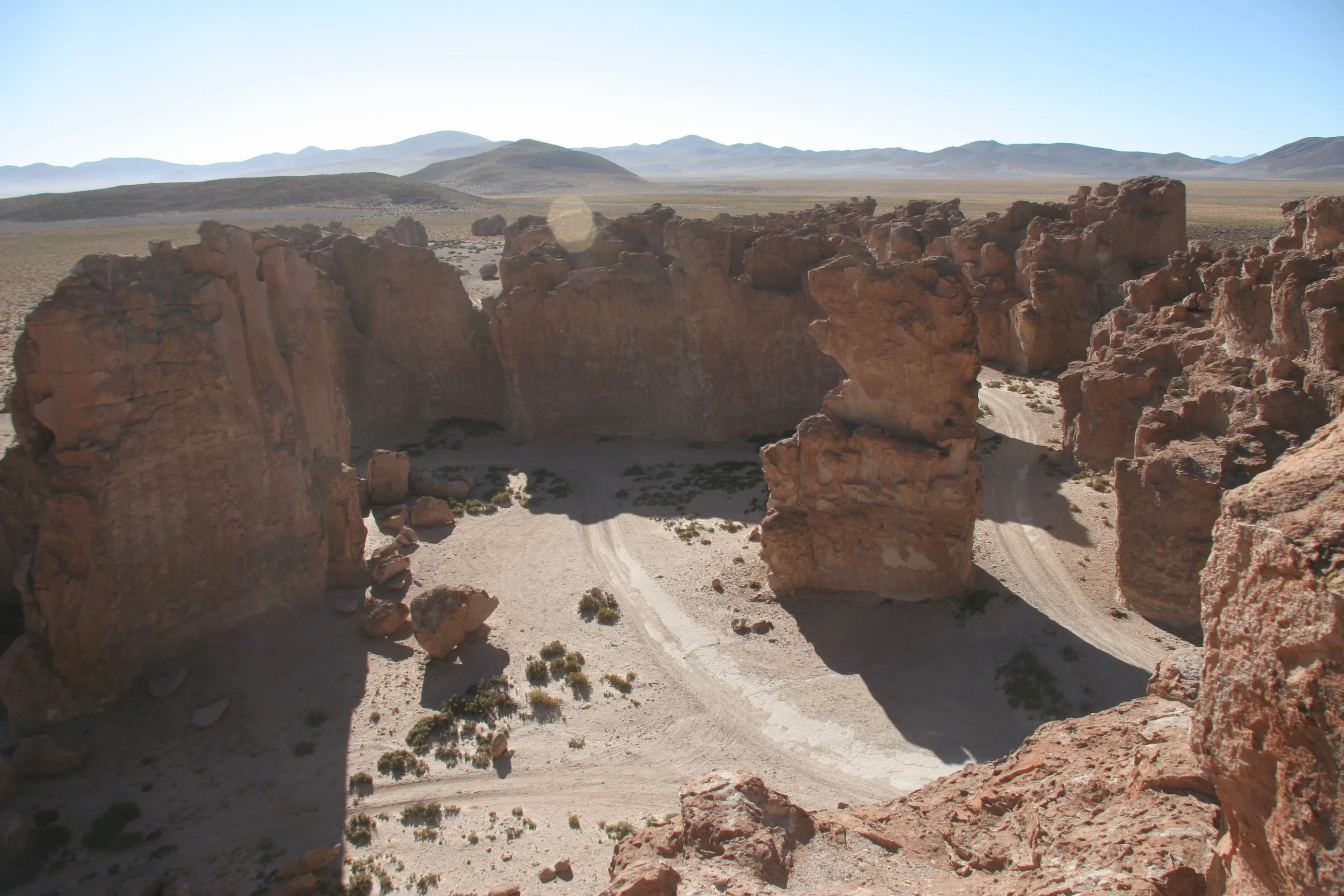
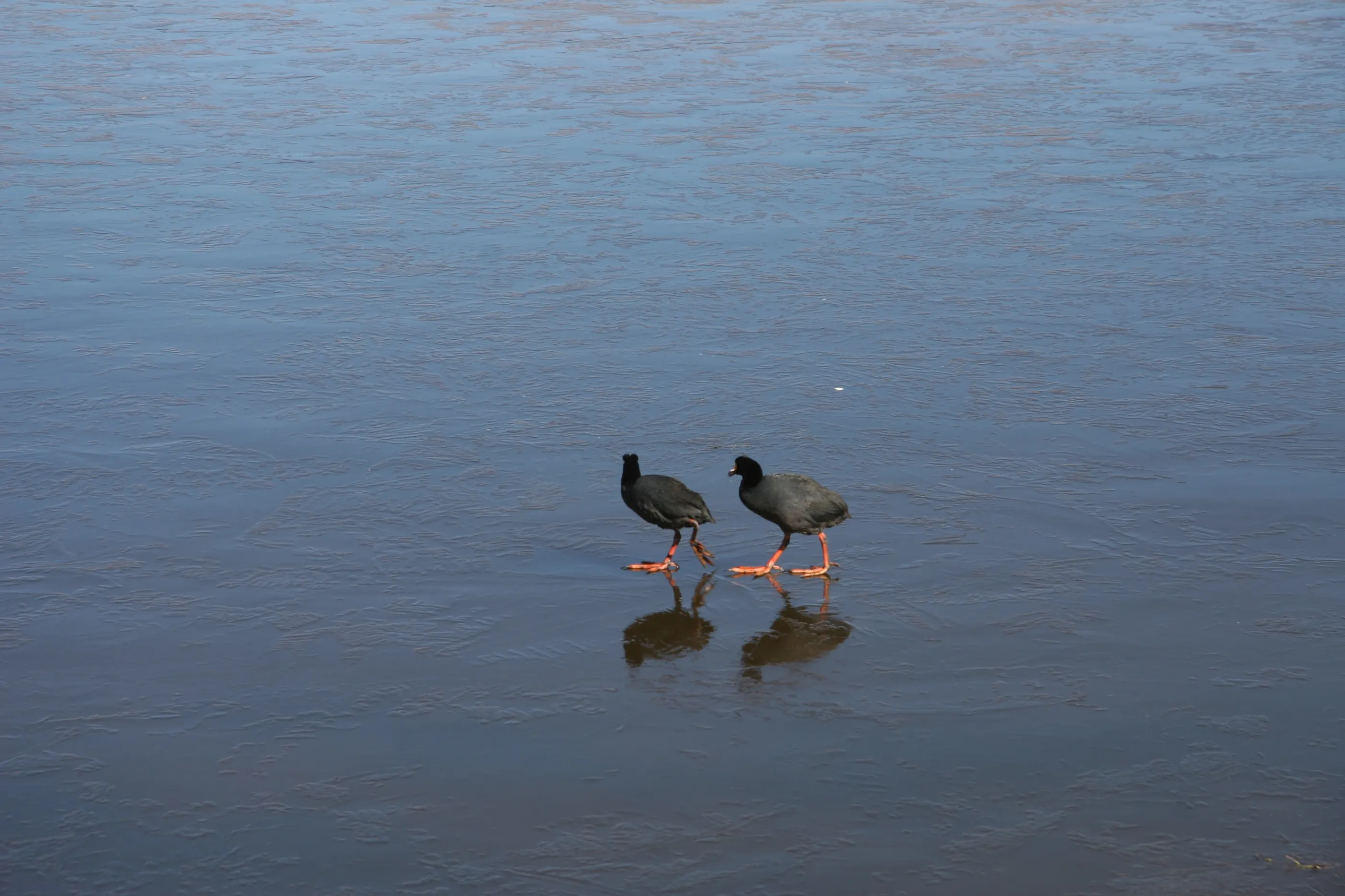
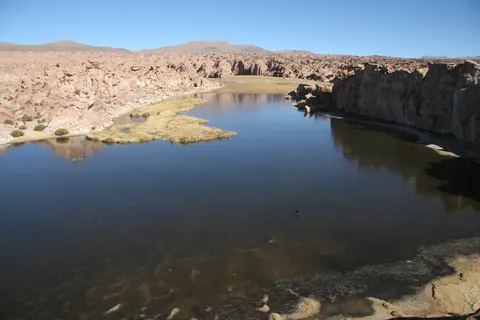
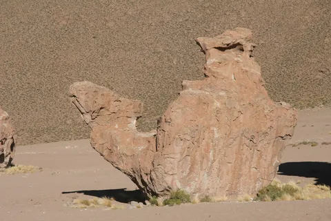
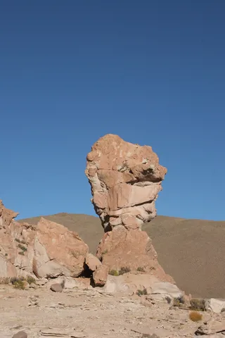
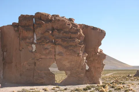
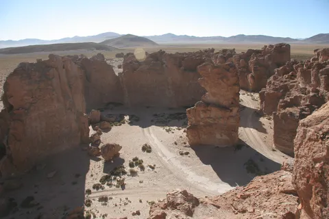
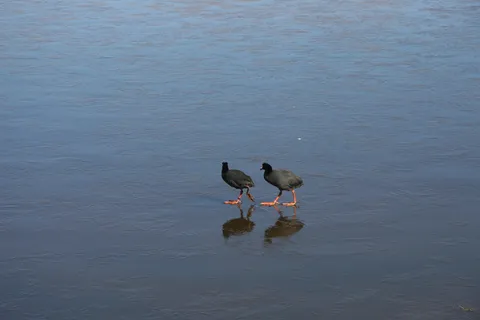
After a pass at 4,950 metres, we gradually descend towards the salt flat. On the way, a field of giant wind-carved rocks that we climb, spotting shapes: a camel, a World Cup trophy, a lost city. Further on, Laguna Negra, truly black, hemmed in by red cliffs, where giant coots wade.
By road↗ 136 km
Salar de Uyuni
Bolivia
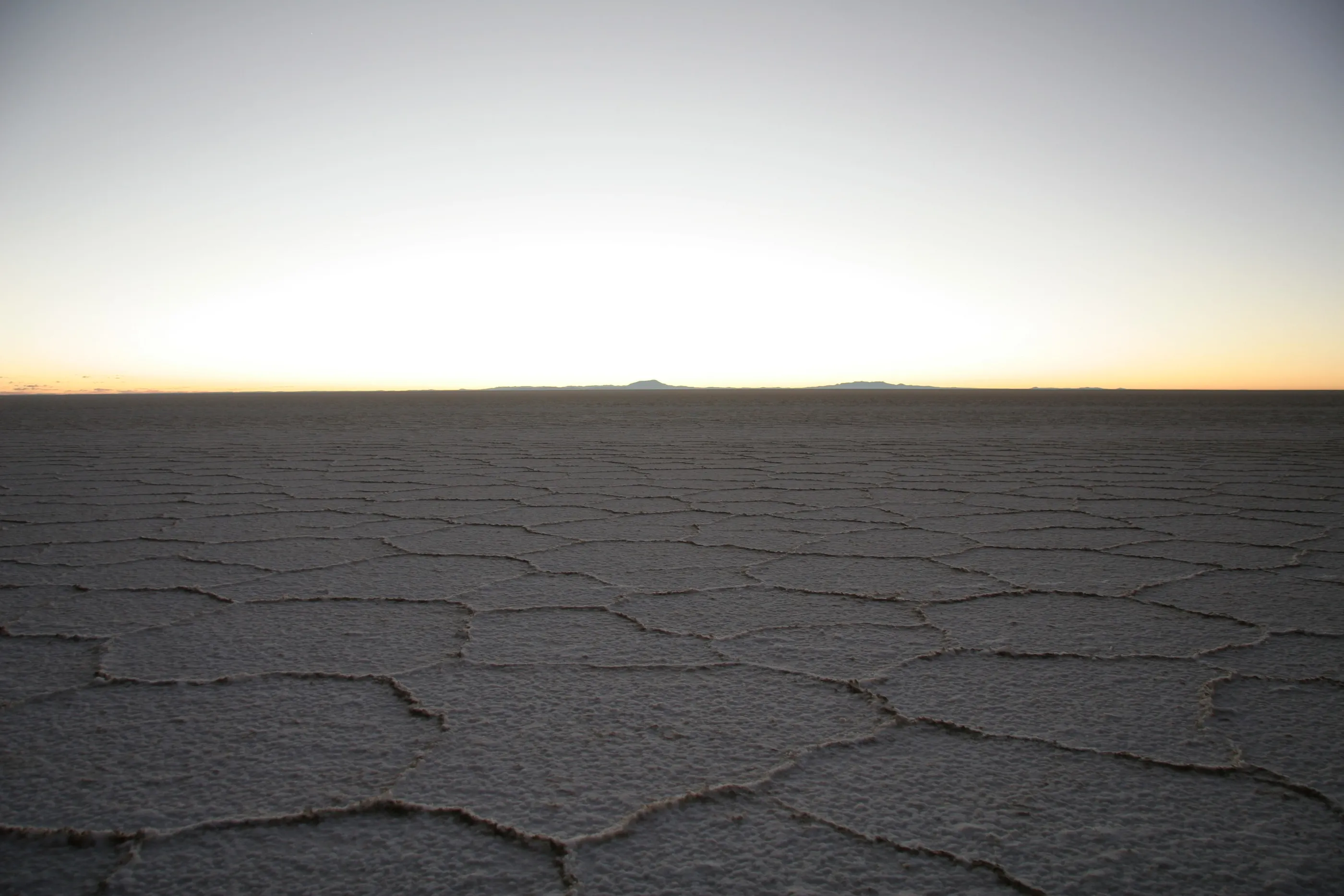
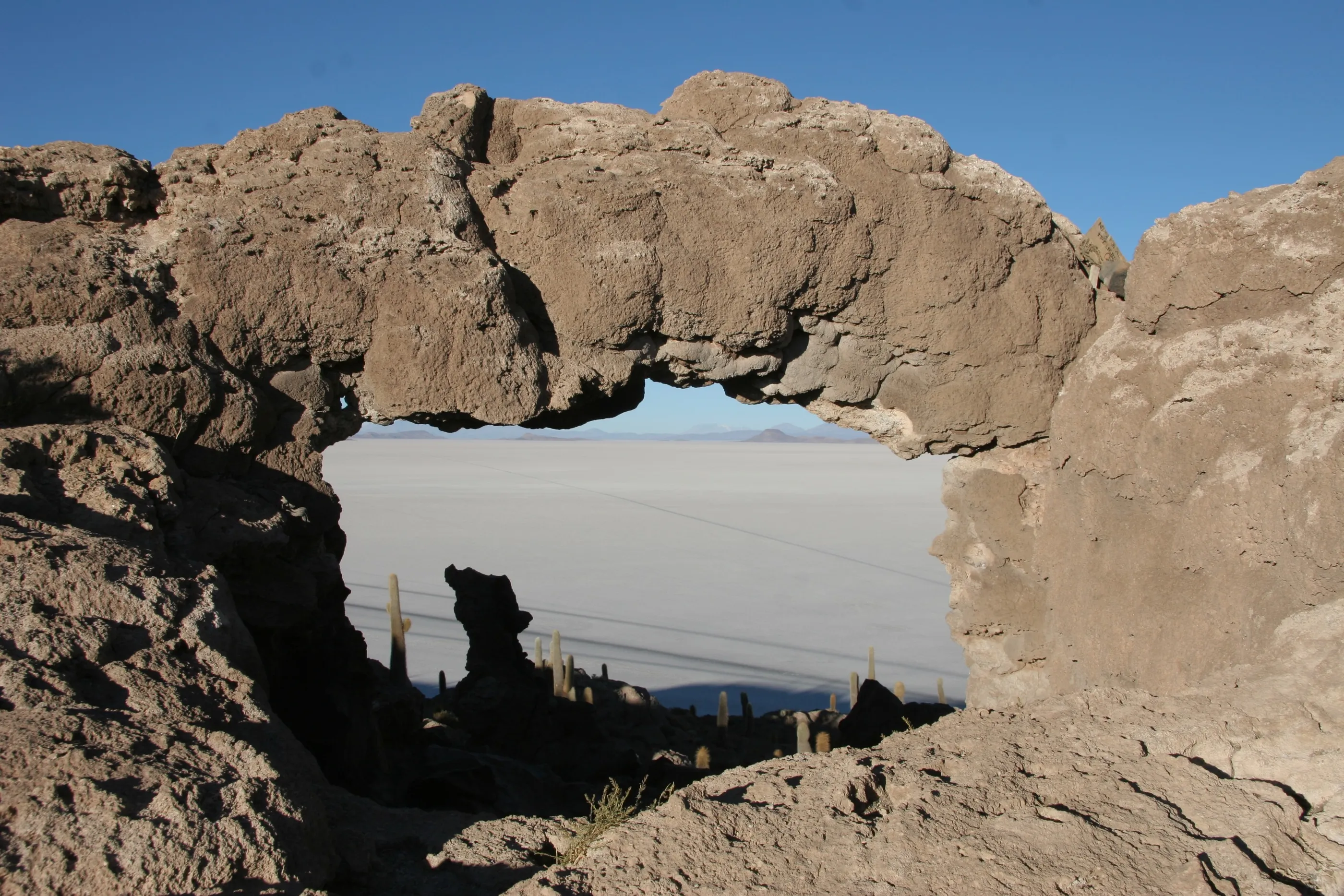
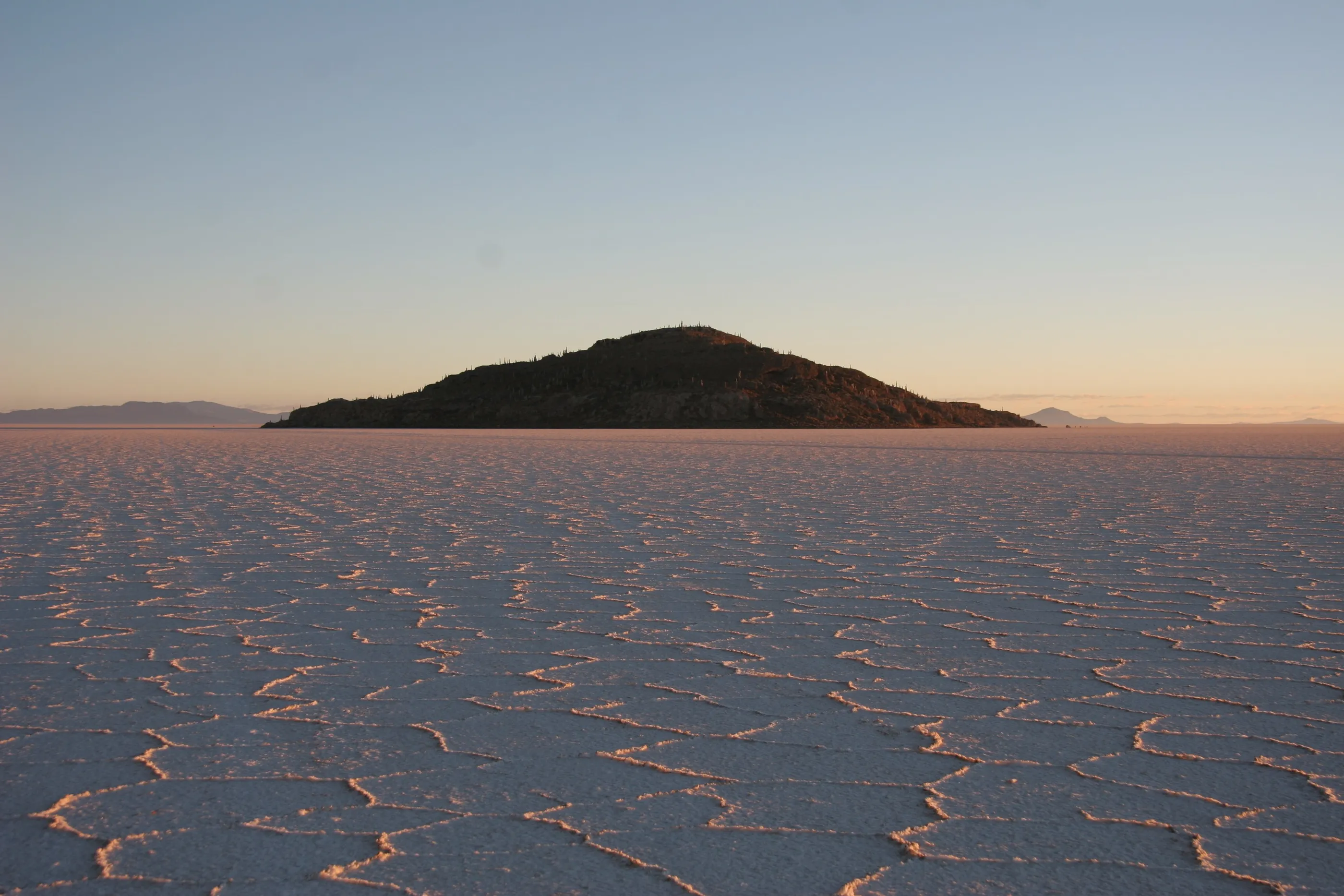
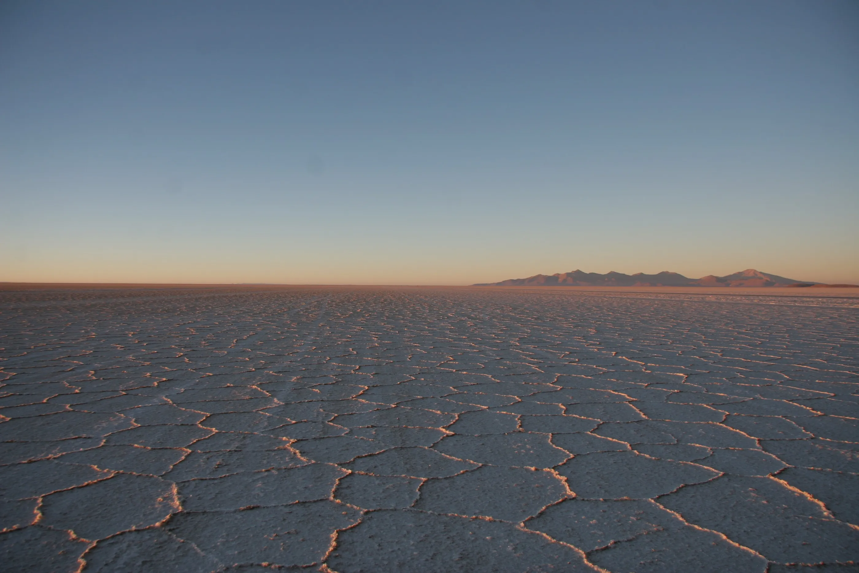
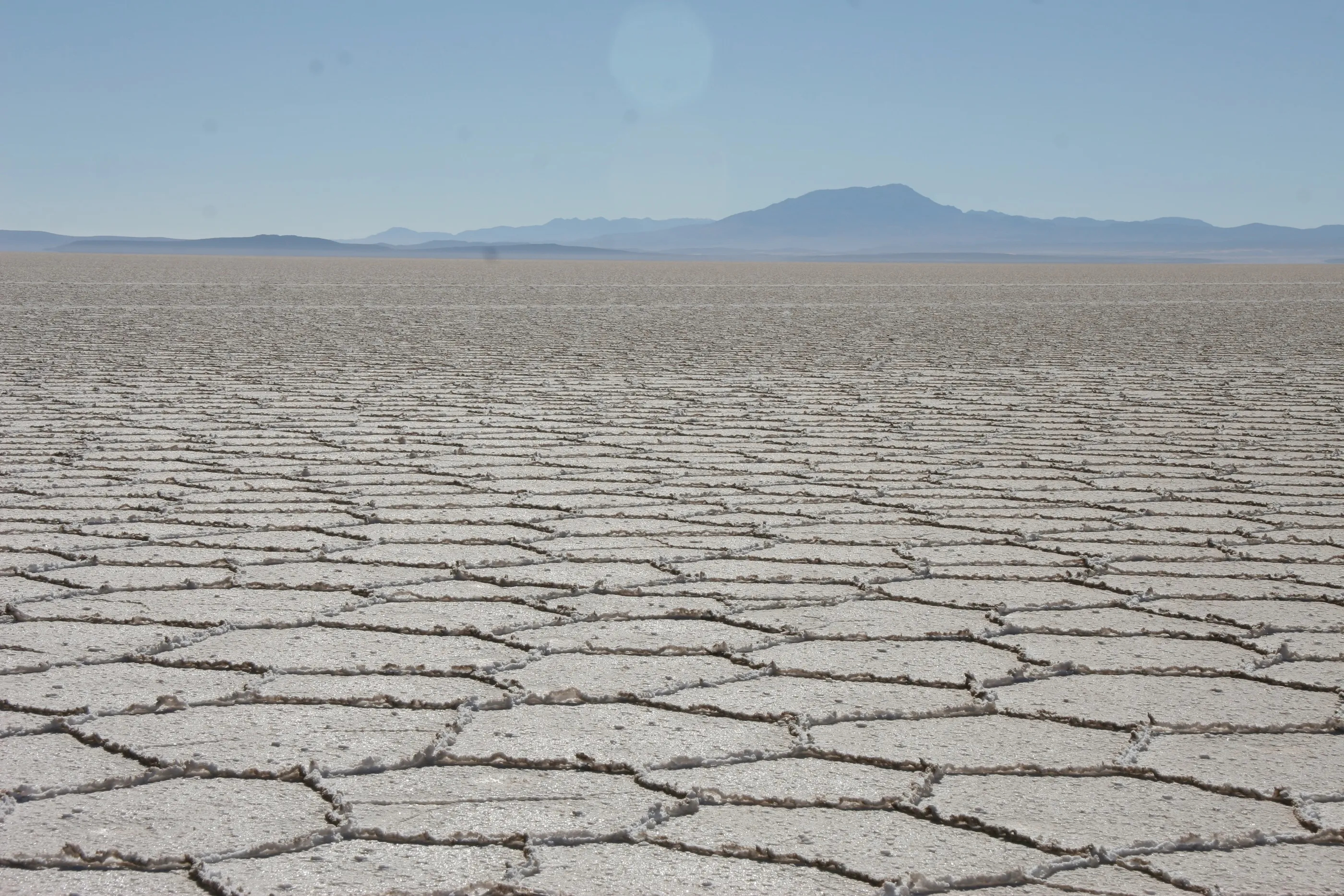
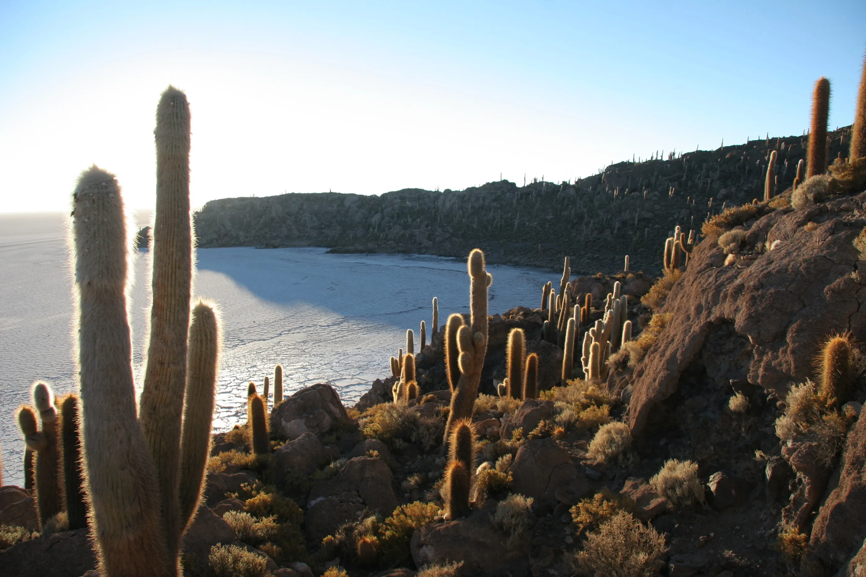
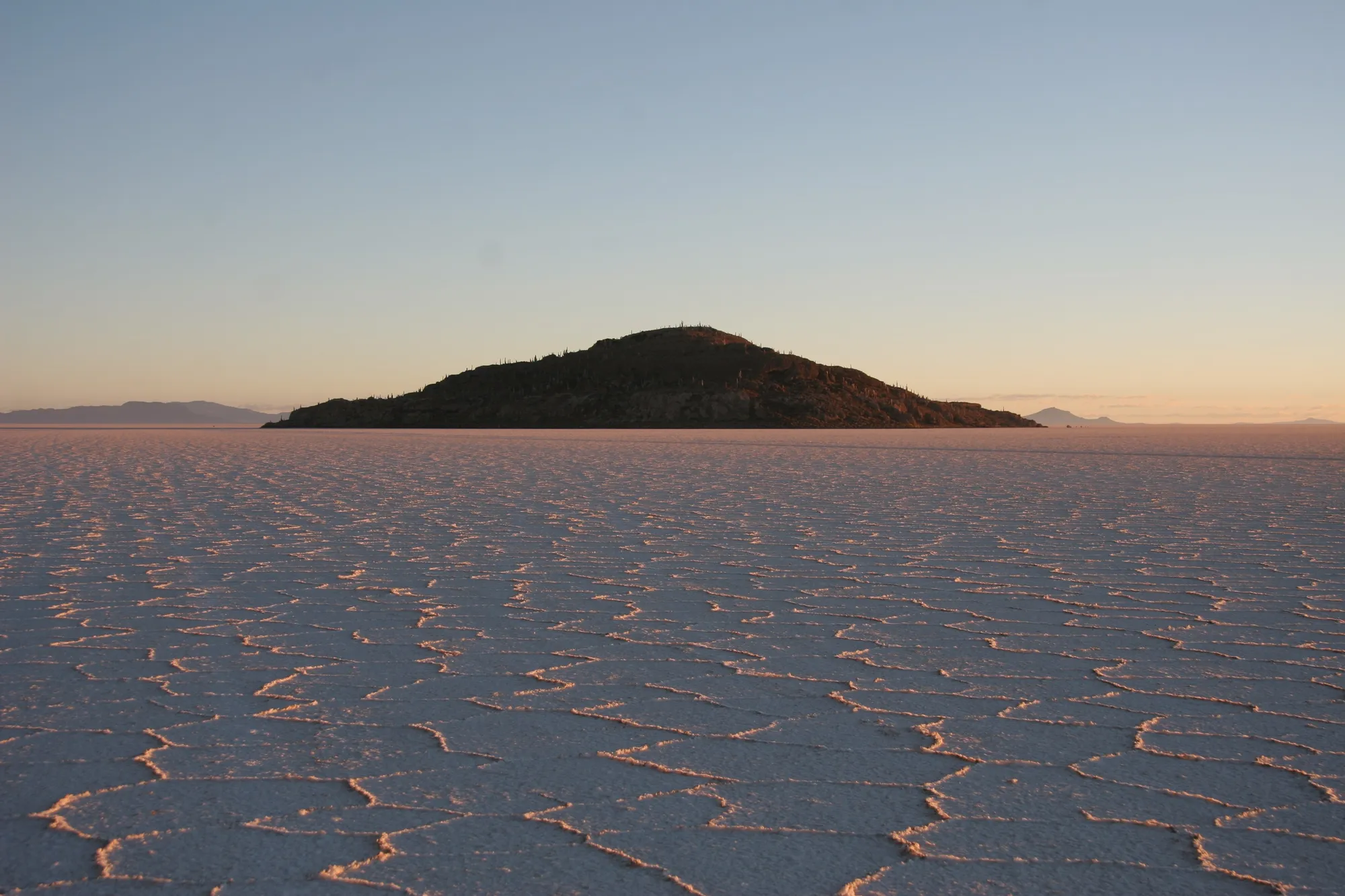
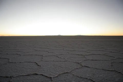
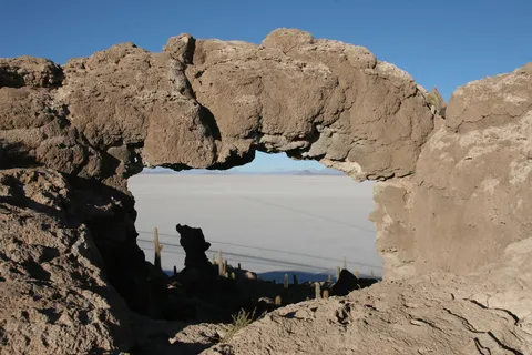
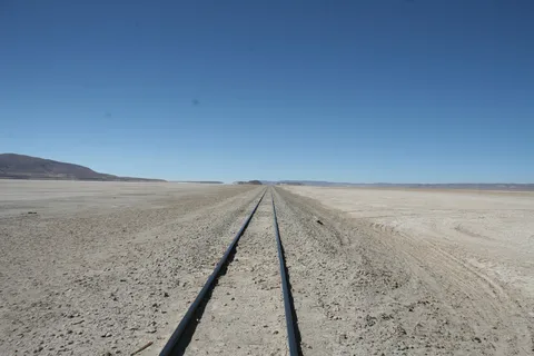
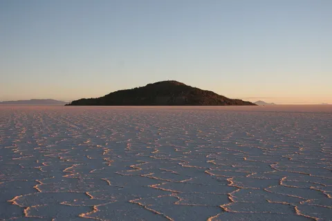
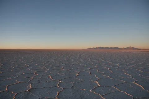
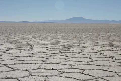
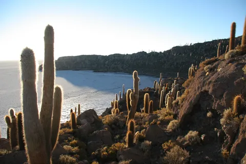
A night in a salt hotel, after climbing a cactus-covered hill to gaze over the white immensity. Up at 5 a.m.: the sun rises over the salt hexagons, the silhouette of Isla Incahuasi and Tunupa volcano blushing at dawn. Then the island itself, its giant cacti and fossil-coral arches, and the crossing of the white desert under a blazing sun — yet freezing cold.
By road↗ 209 km
Potosí and the Cerro Rico
Bolivia
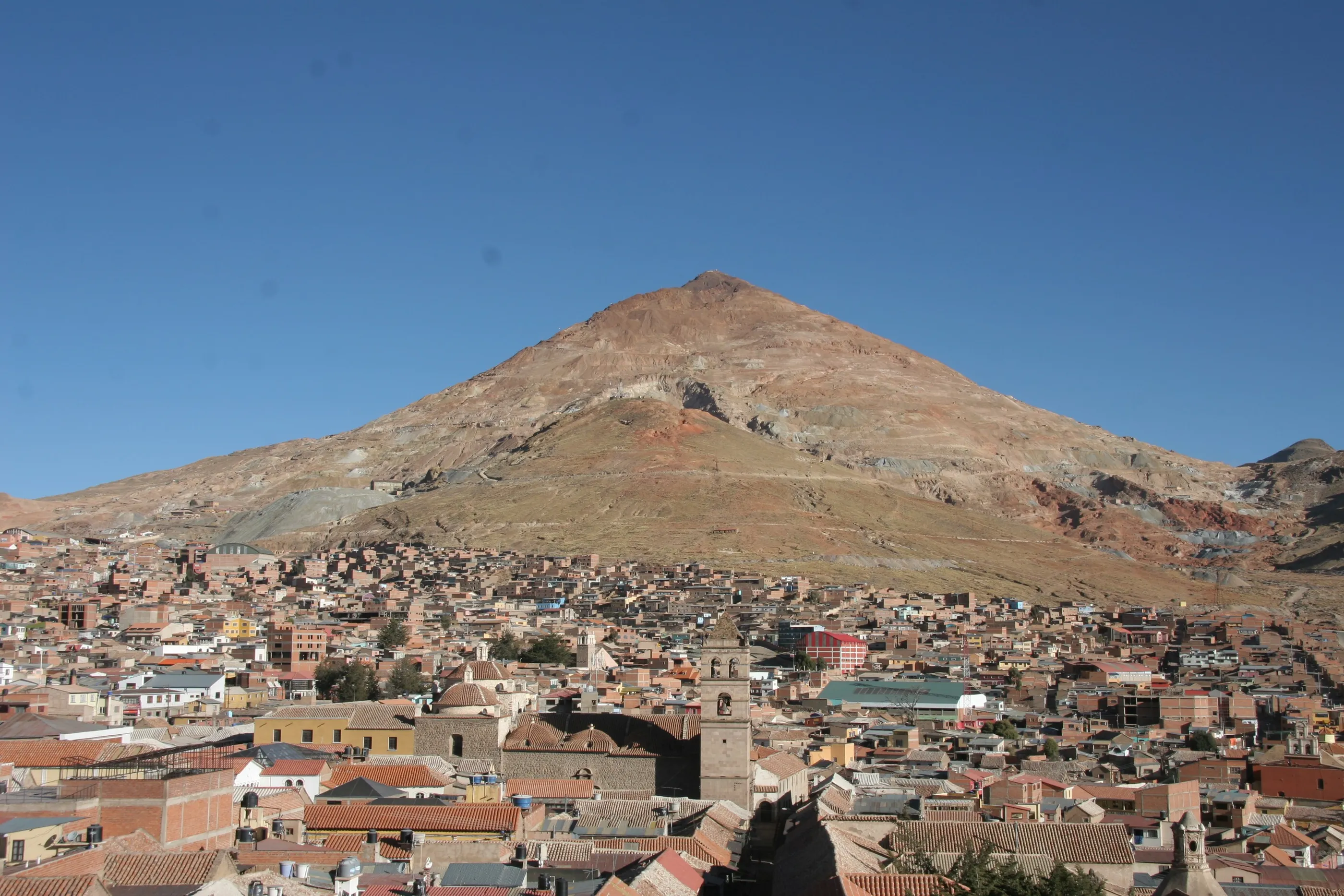
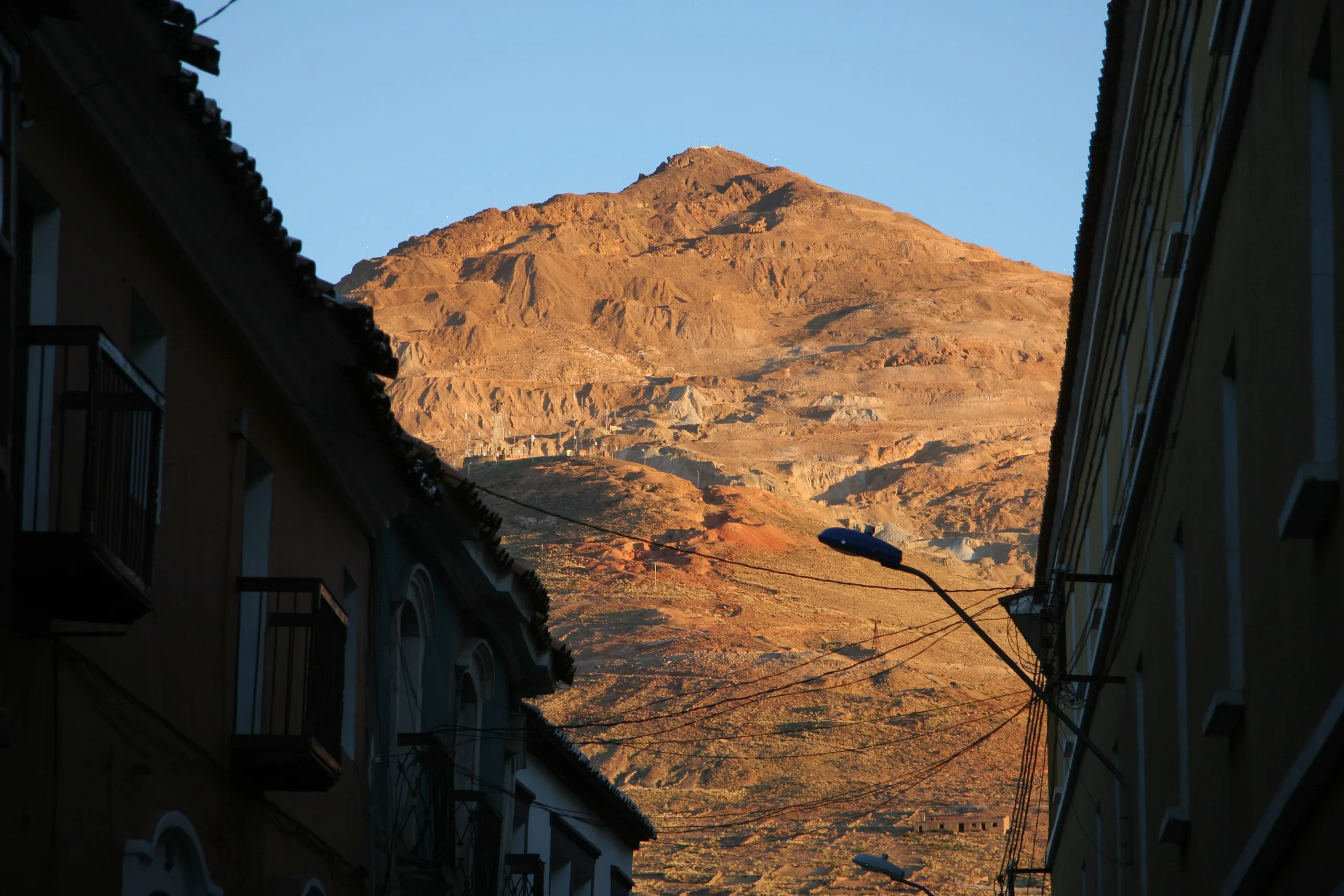
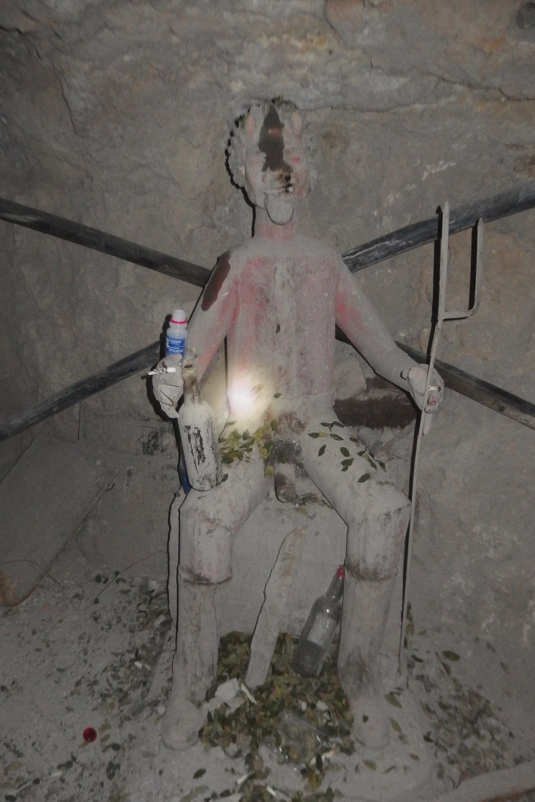
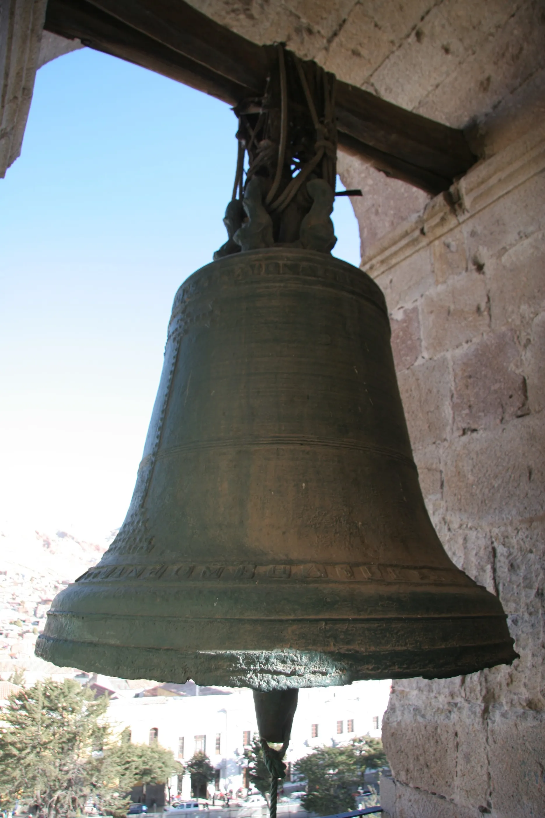
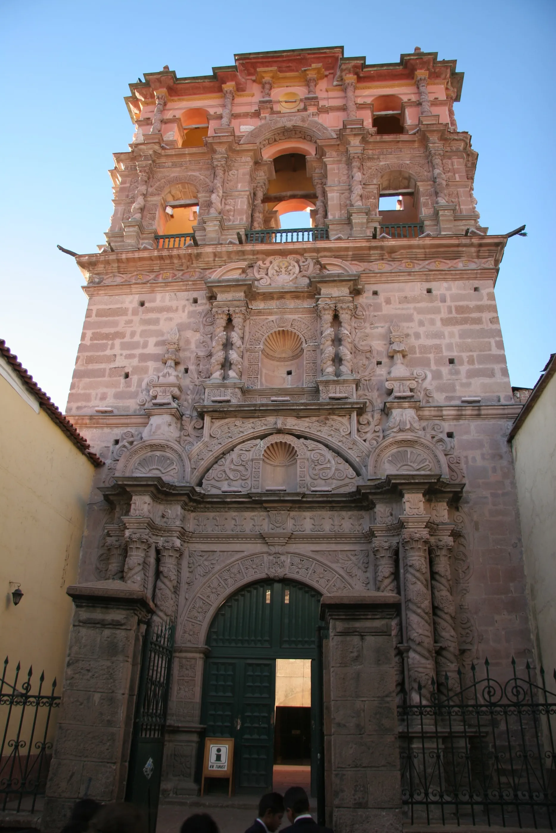
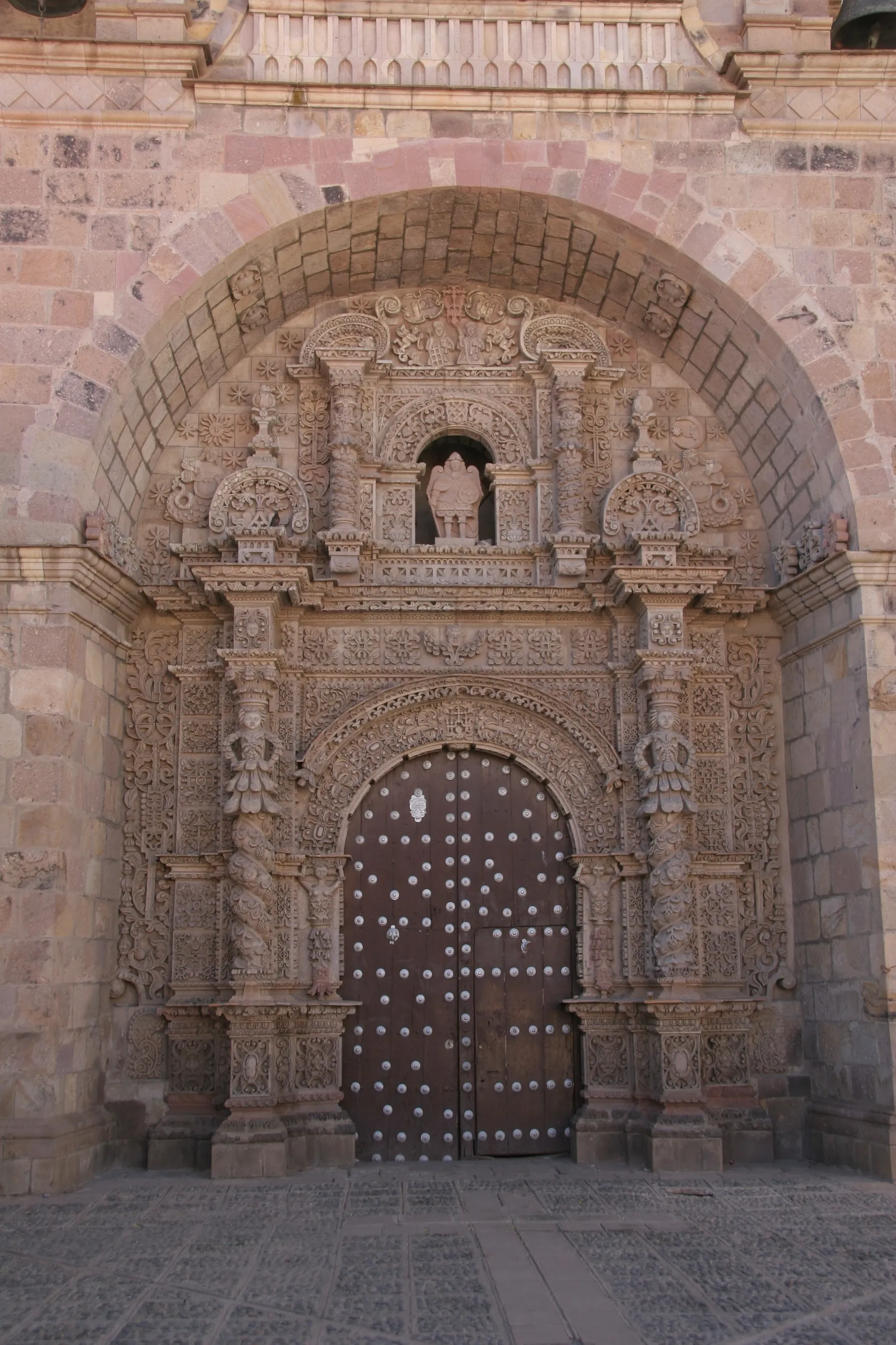
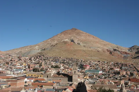
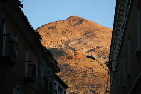
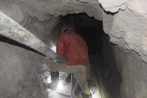
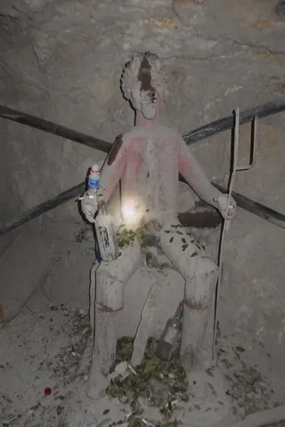
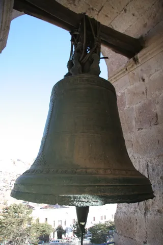
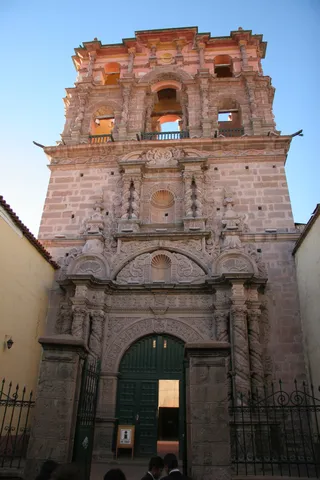
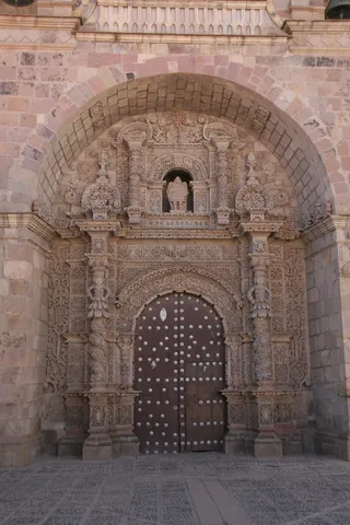
Uyuni is blockaded by a social movement: roads barred with rocks, tyres slashed. The only way out is to walk past the roadblocks, packs on our backs, for twelve kilometres, before catching a minibus heading back to Potosí. The city, higher than Lhasa, was one of the largest in the world in the 16th and 17th centuries thanks to the silver of the Cerro Rico. In the mine, worked for nearly 450 years, working conditions straight out of Germinal; afterwards, the cathedral all to ourselves, and the mountain glowing at sunset.
By road↗ 79 km
Sucre
Bolivia
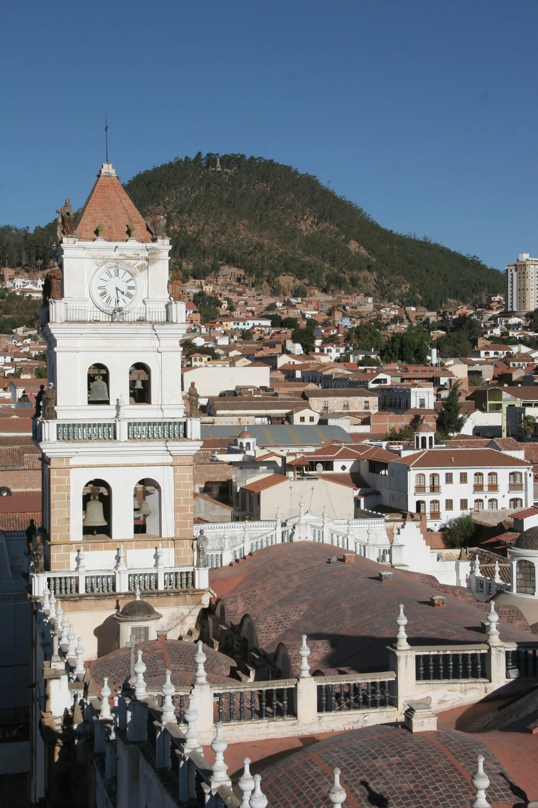
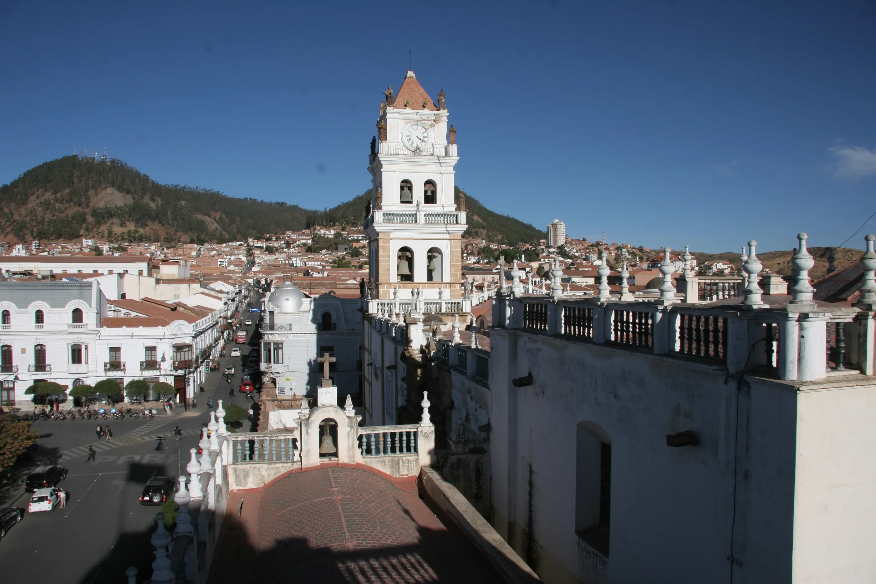
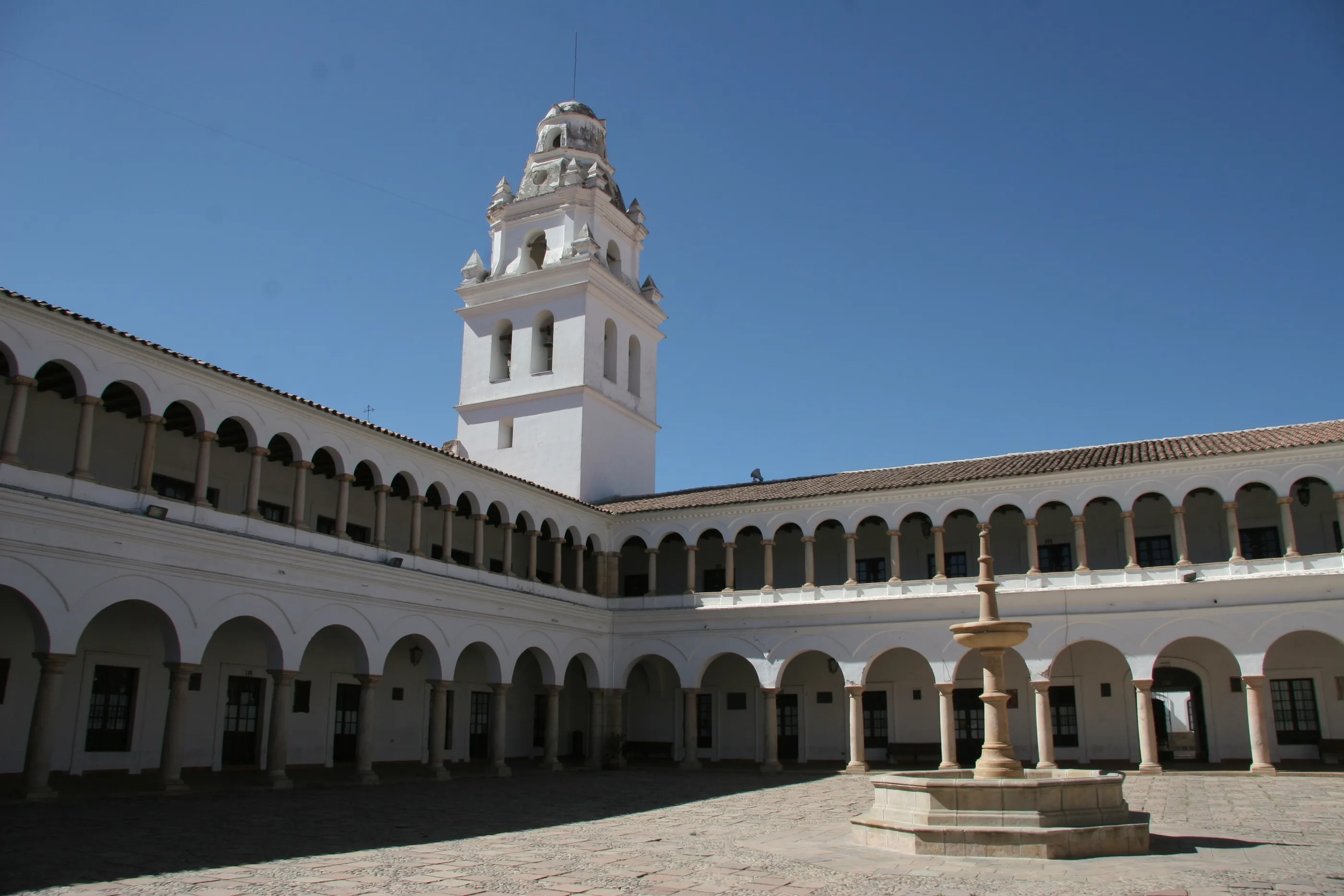
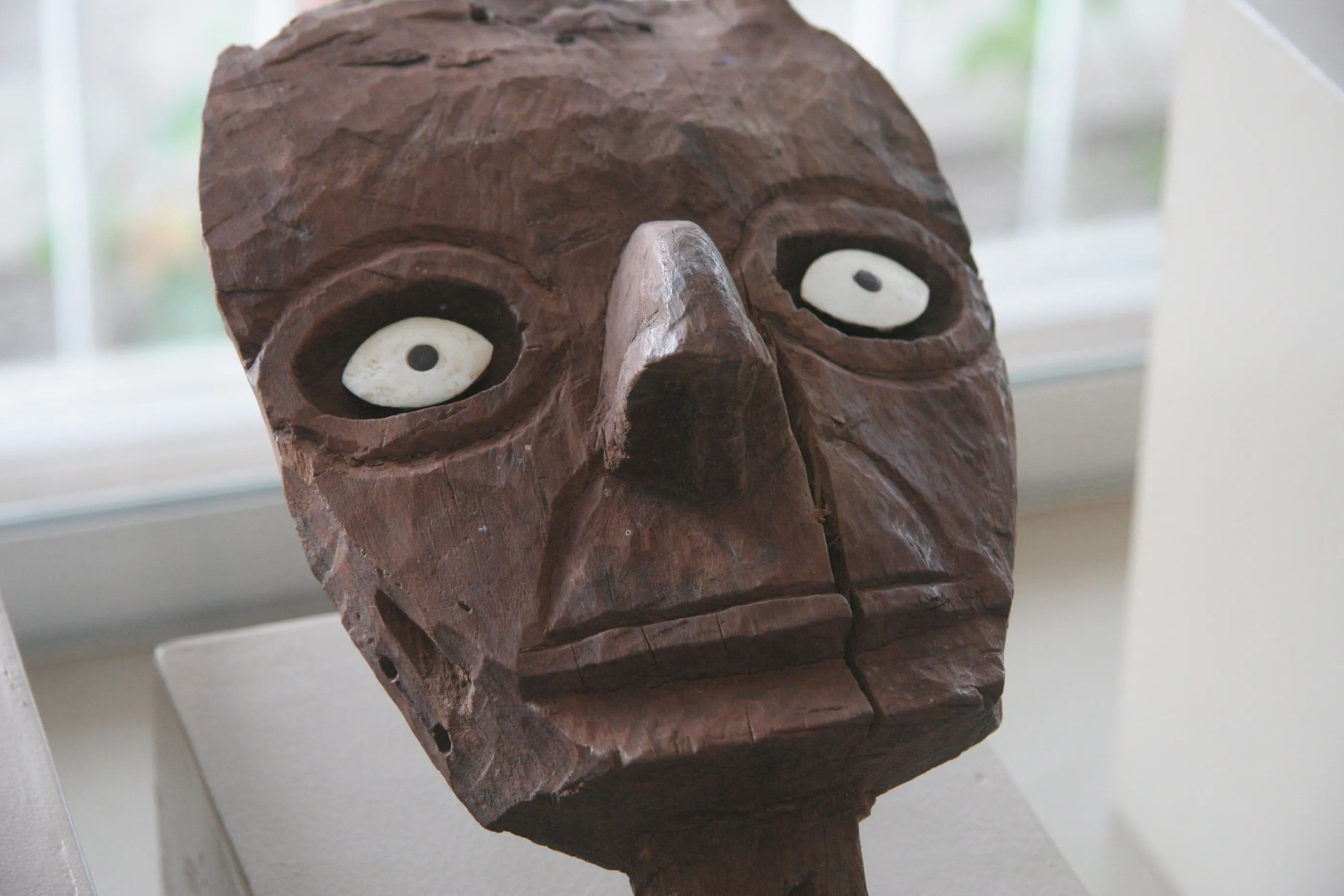
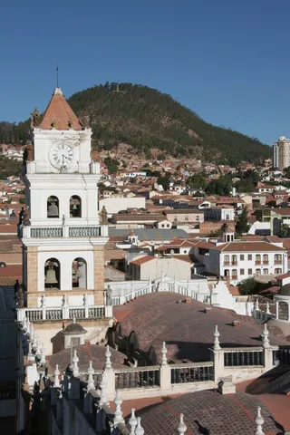
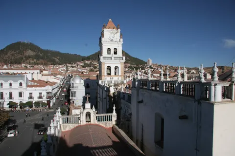
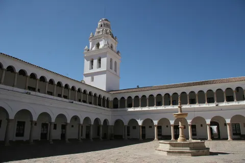
The White City, Bolivia’s constitutional capital, reveals itself from the lookout of its prefecture: red-tiled roofs, whitewashed belfries, hills all around. A quieter day, as most of us are ill: the cathedral and its Virgin of Guadalupe, a park with a little Eiffel Tower attributed to Eiffel himself, and the museum of ethnography and folklore, whose traditional masks are superb.
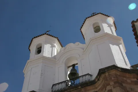
By road↗ 455 km
Tiwanaku
Bolivia
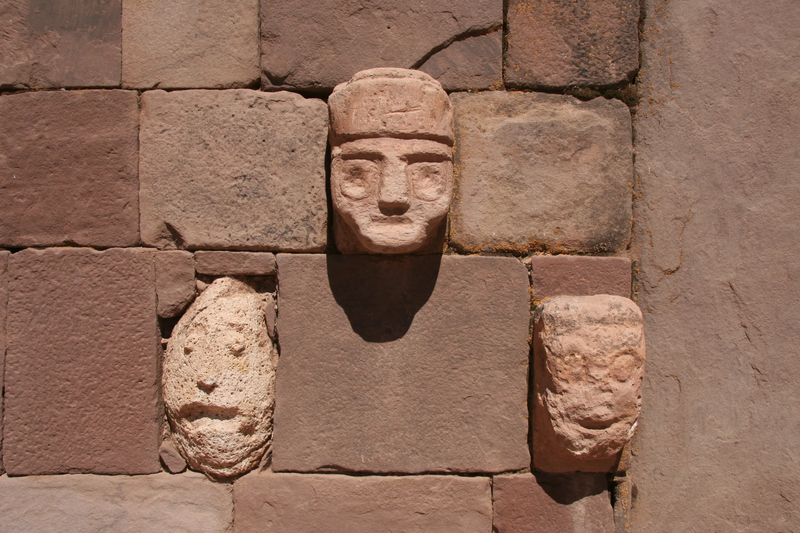
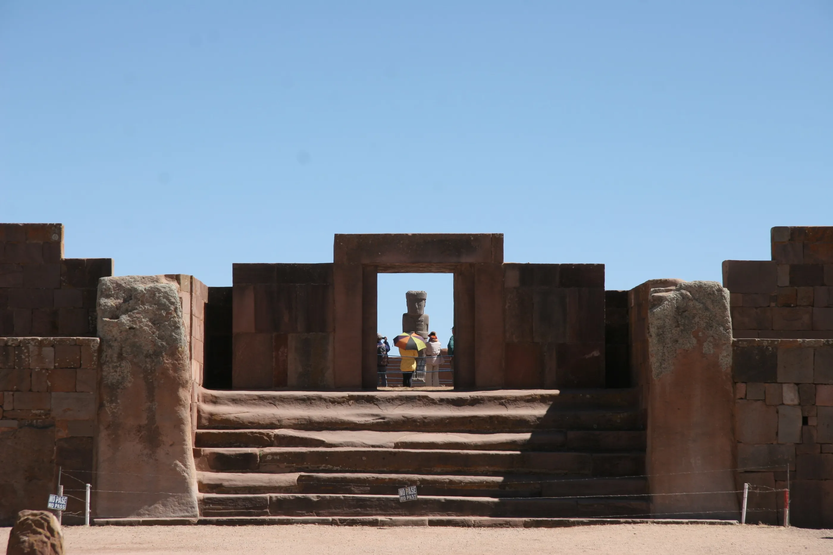
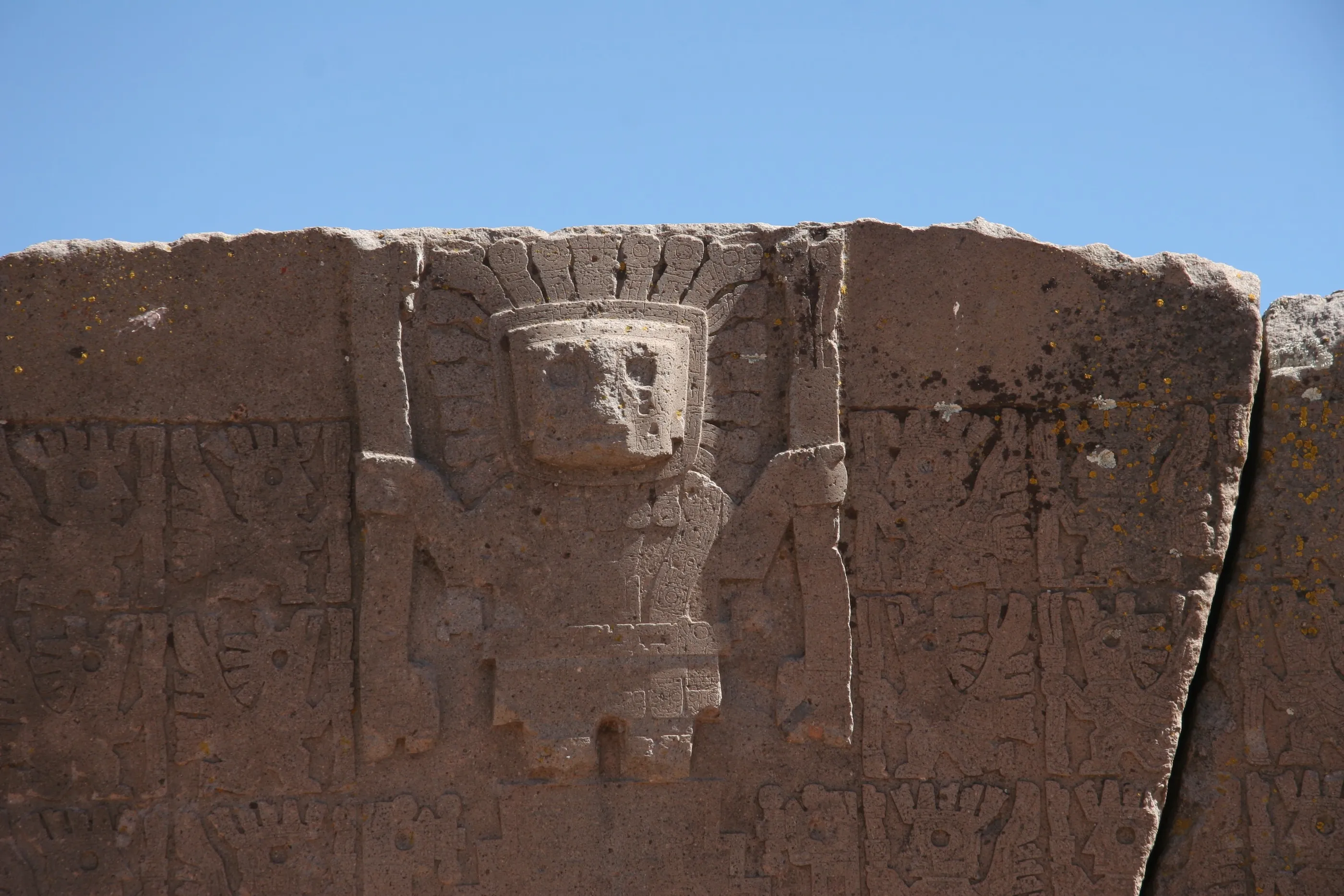
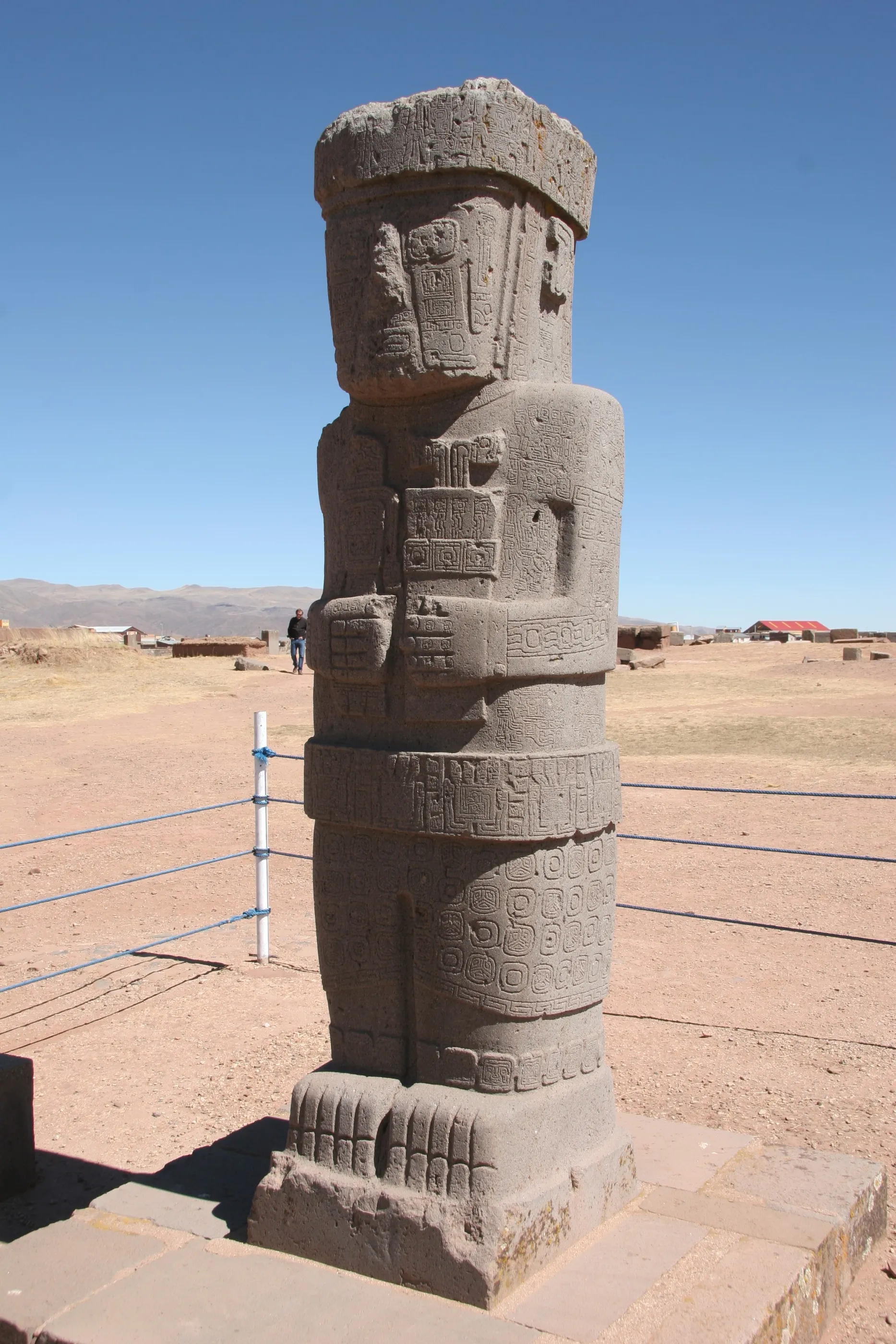
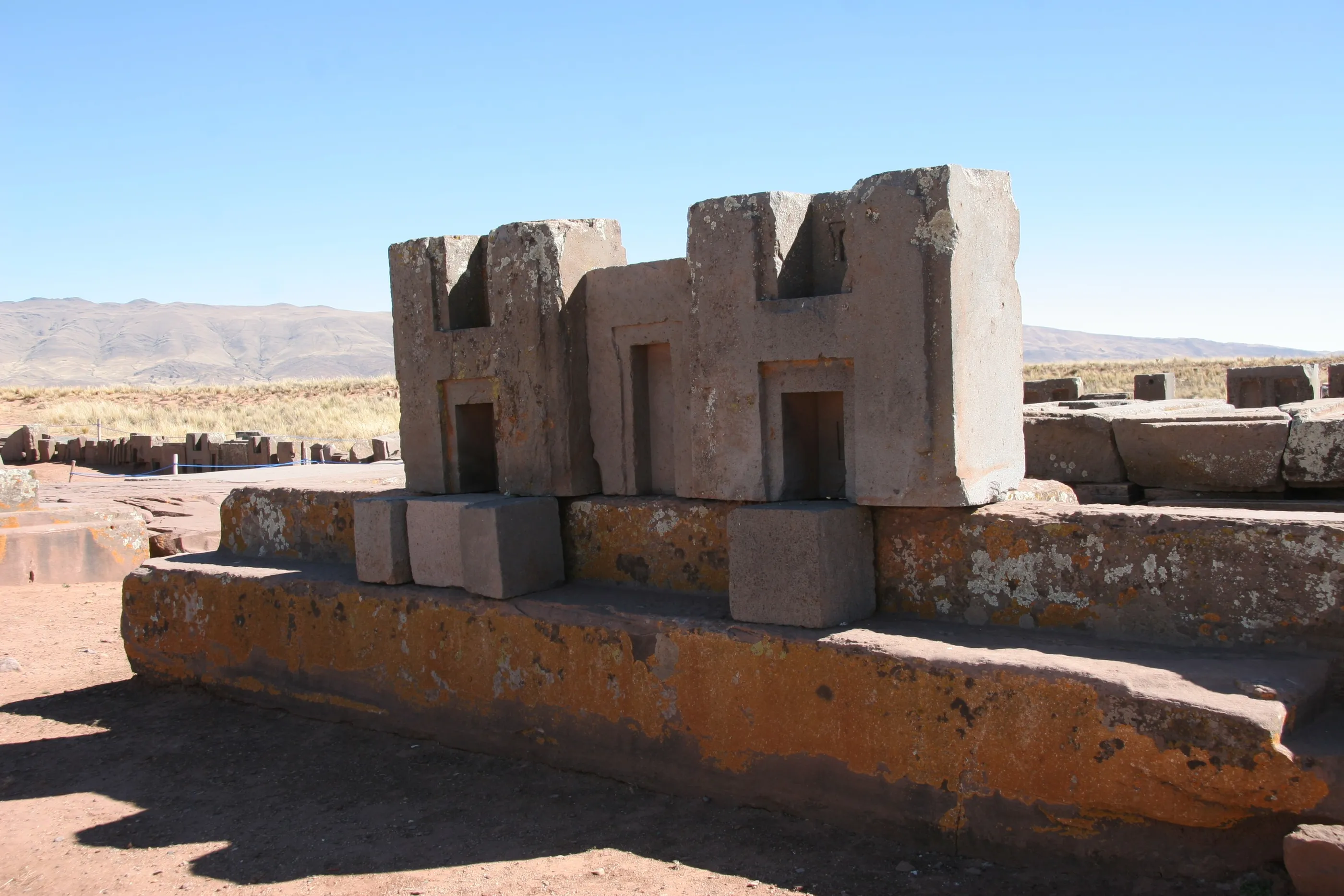
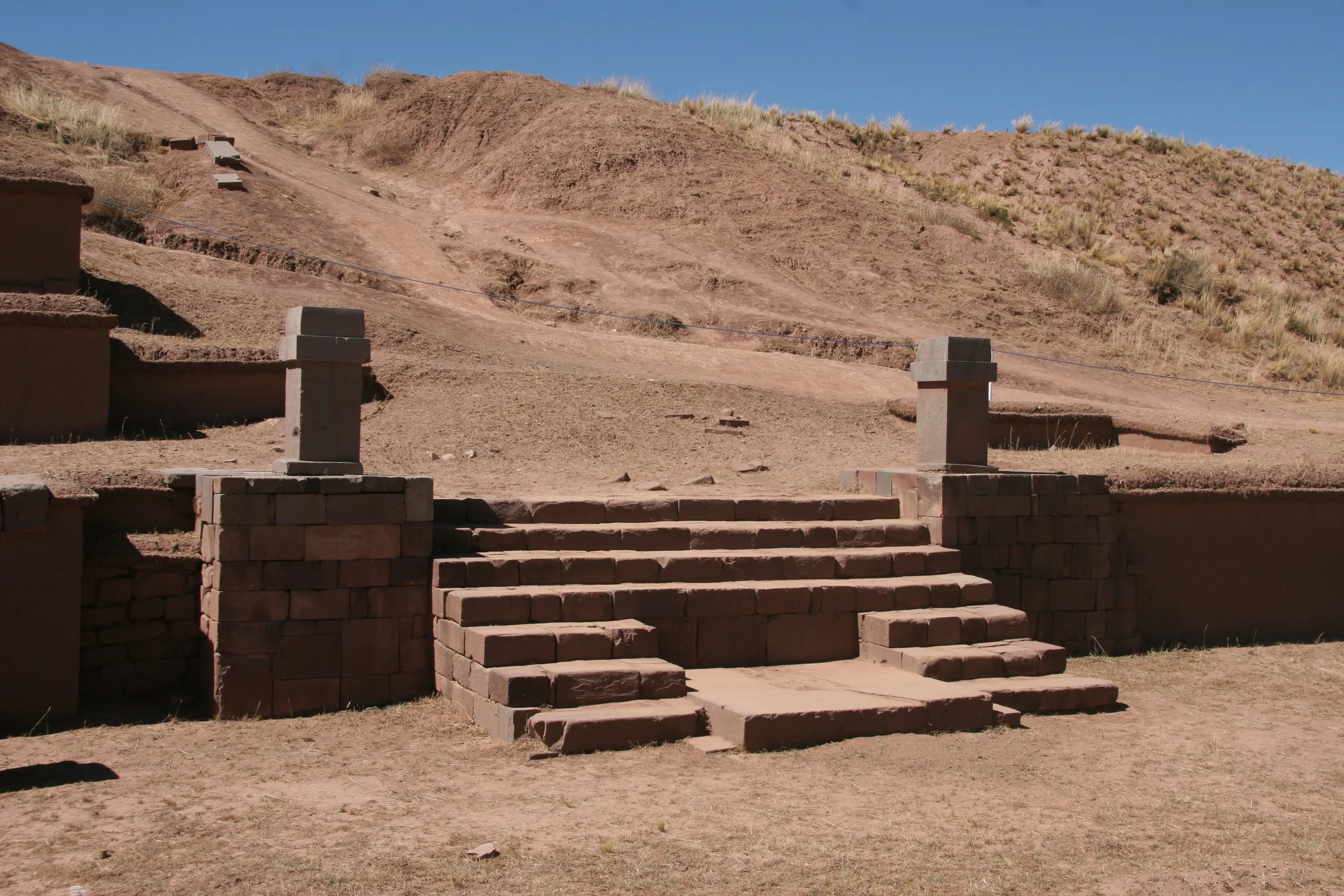
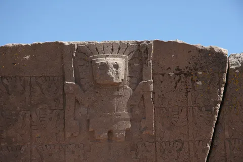
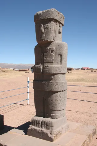
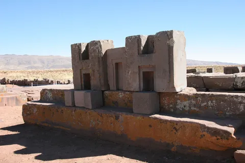
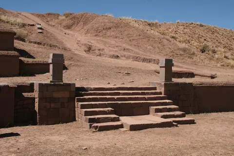
A night bus, a “Bolivian-style” arrival in La Paz, and a quarter of an hour to drop our bags before heading to Tiwanaku. For nearly nine centuries, long before the Incas who claimed to be its heirs, this civilisation raised its monoliths — some 7 metres tall and 20 tonnes. The Gate of the Sun and its Viracocha frieze, the stone heads of the semi-subterranean temple, the chiselled blocks of Pumapunku: a historian’s dream.
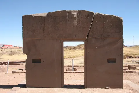
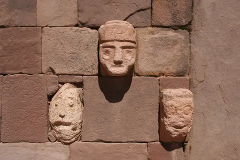
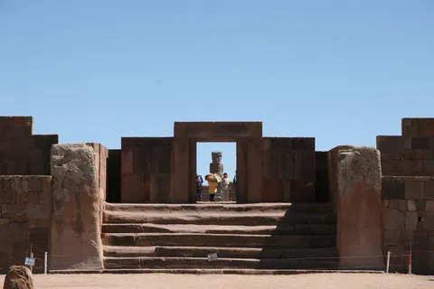
By road↗ 96 km
The Death Road
Bolivia
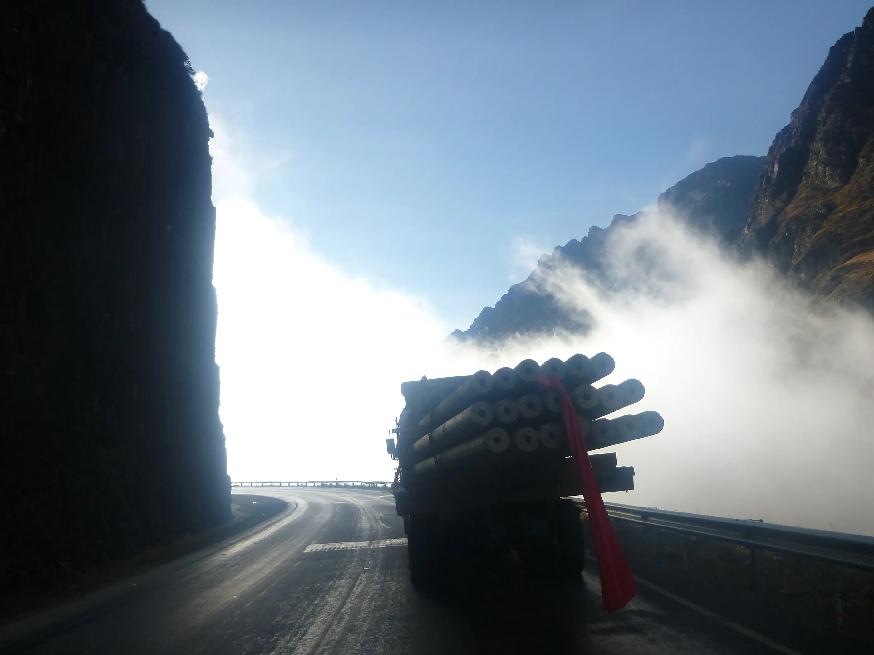
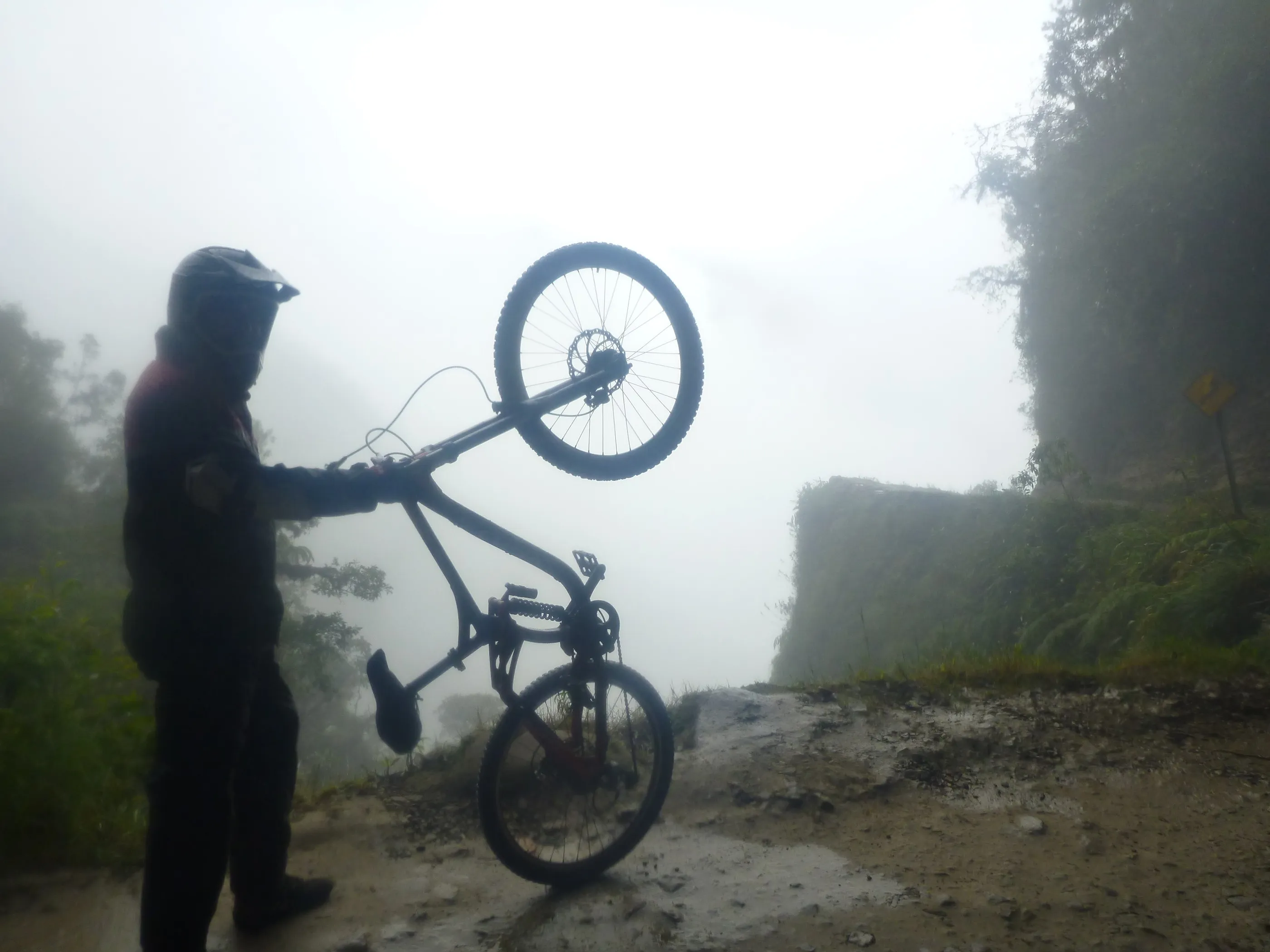
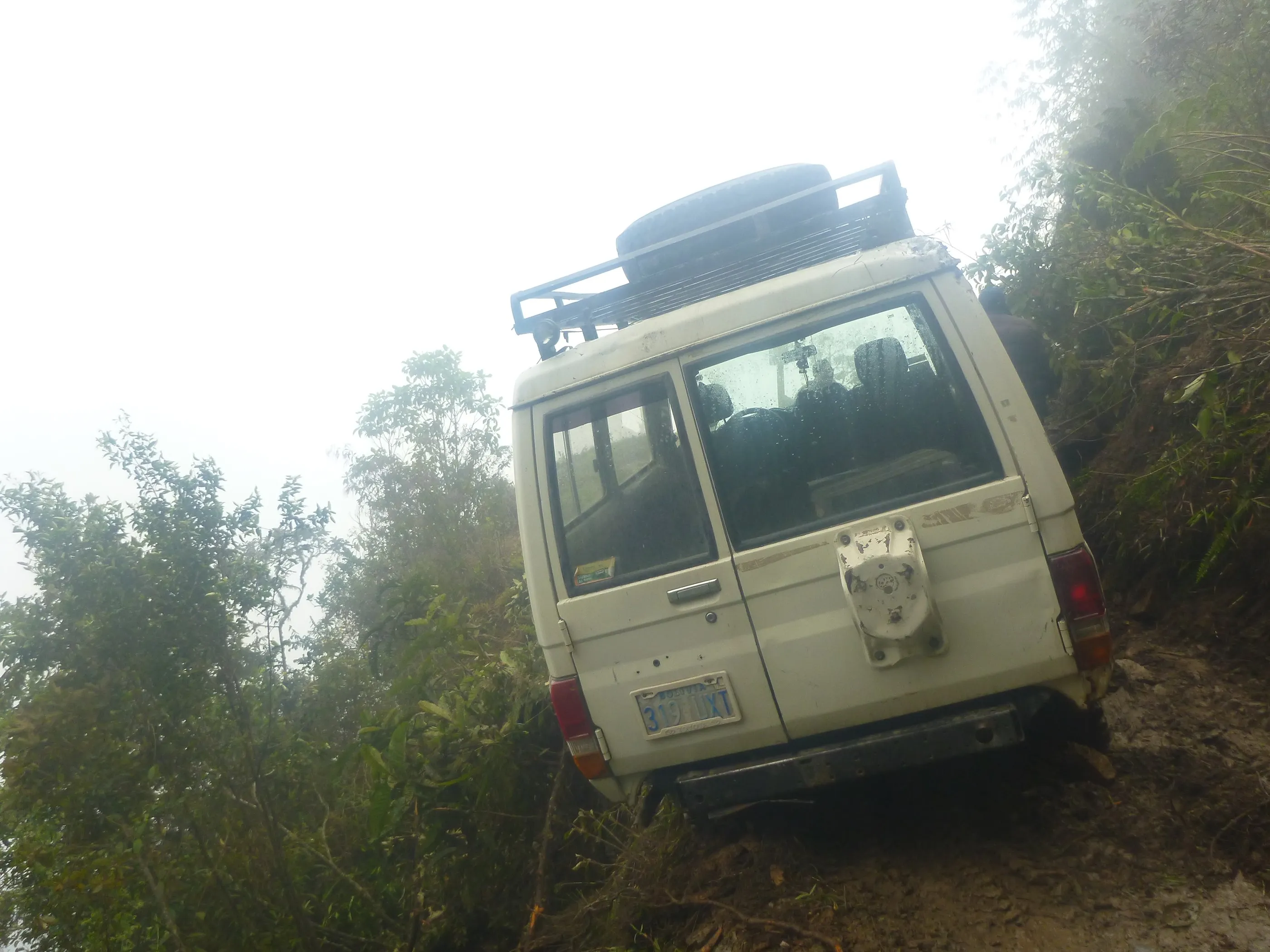
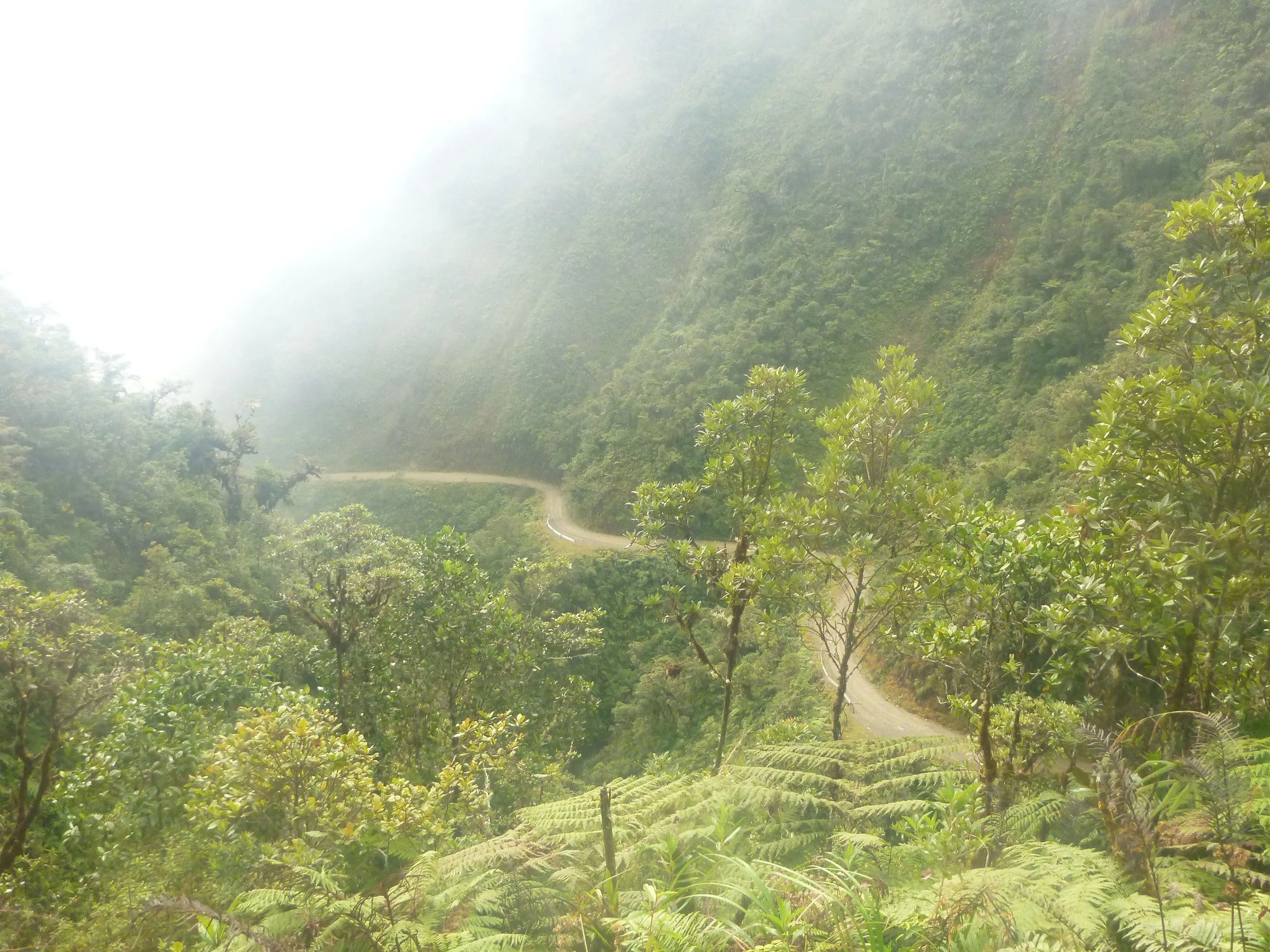
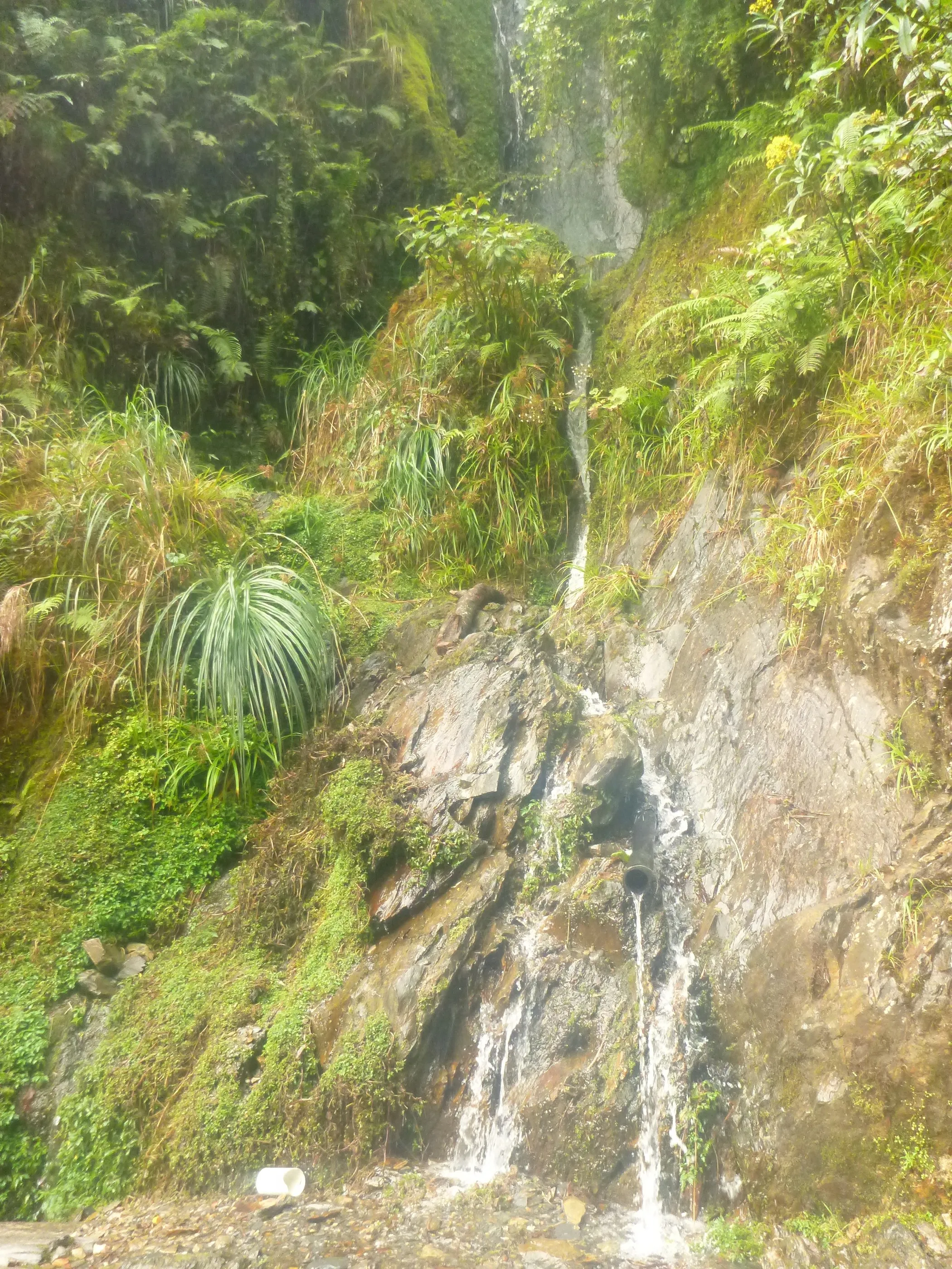
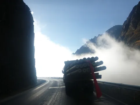
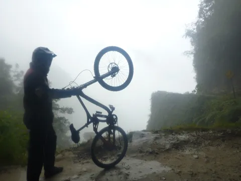
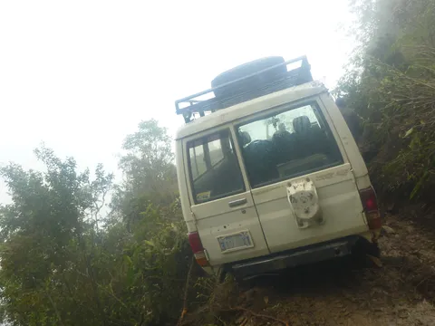
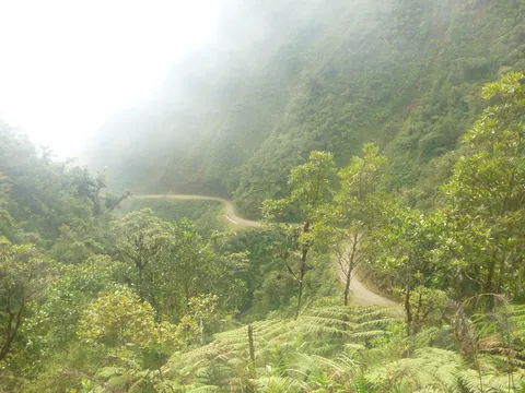
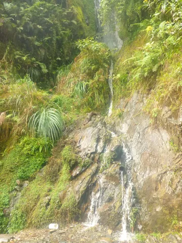
Departure planned for 6 a.m. — so 6:40 — to ride down the “camino de la muerte” by bike, from the snows of La Cumbre to the Yungas forest. Each view more dizzying than the last, the track carved into the cliff, waterfalls across the road. Half an hour from the end, a landslide: a jeep that had tried to get past had wedged a rear wheel over the precipice. We clamber over the fallen earth and finish the ride.
By road↗ 240 km
From the border to Cusco
Peru
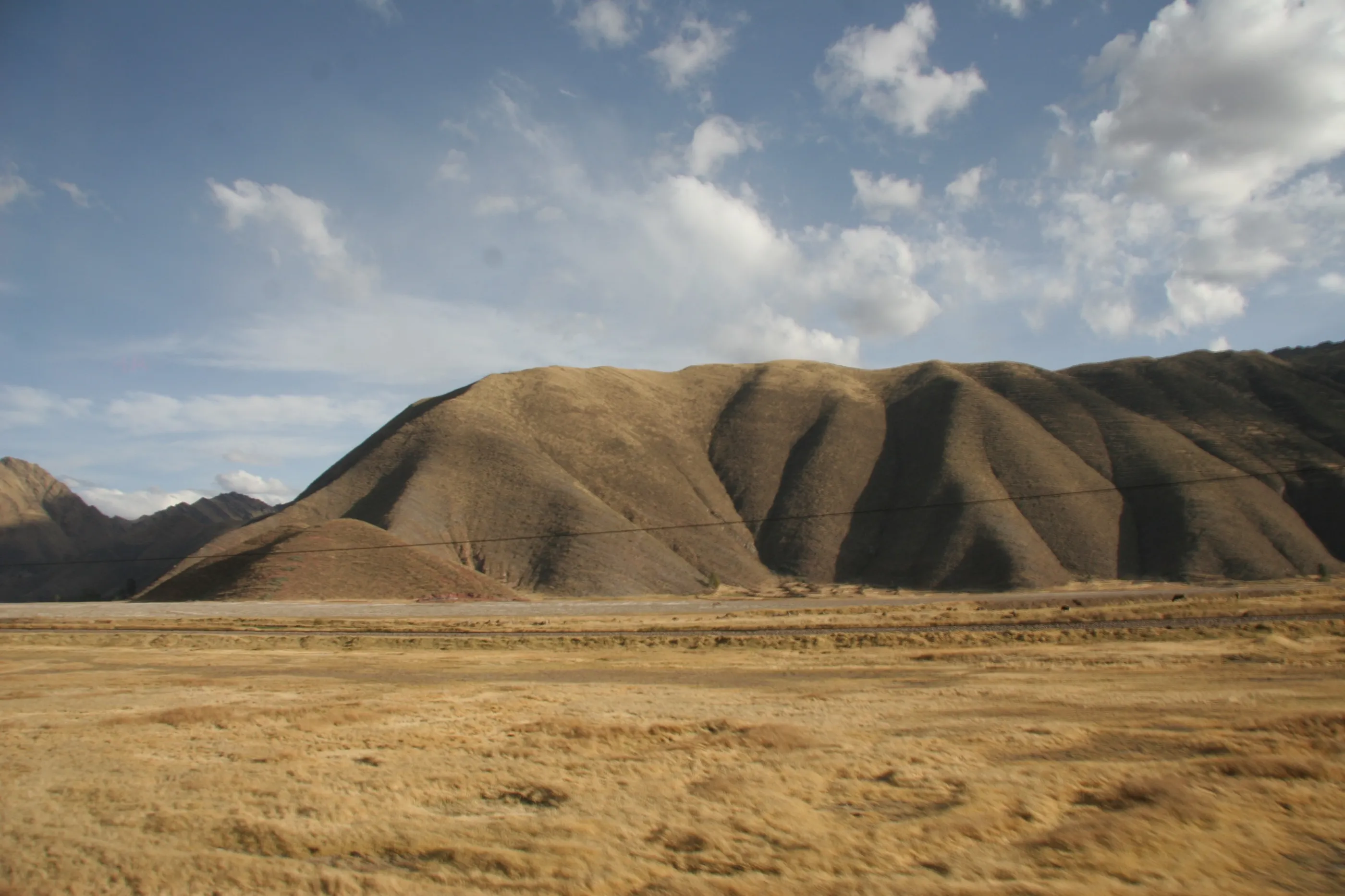
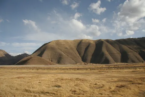
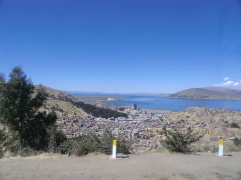
The bus leaves La Paz late and reaches the Peruvian border minutes after it closes — the one thing that runs on time in Bolivia. A night in the bus opposite the checkpoint, then the long crossing of the Altiplano via Puno, between golden hills and herds, reaching Cusco at nightfall instead of dawn.
By road↗ 333 km
Cusco and Sacsayhuamán
Peru
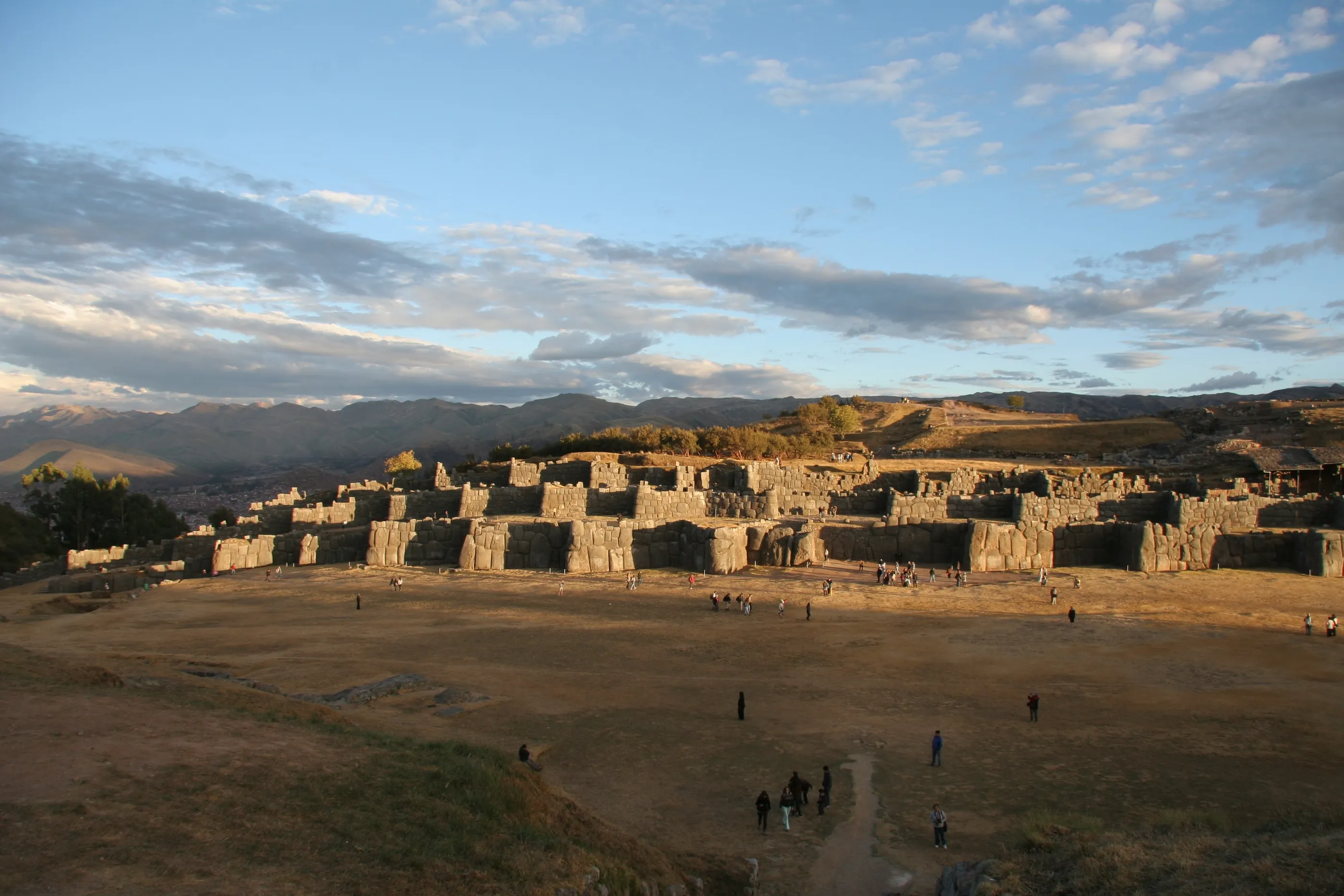
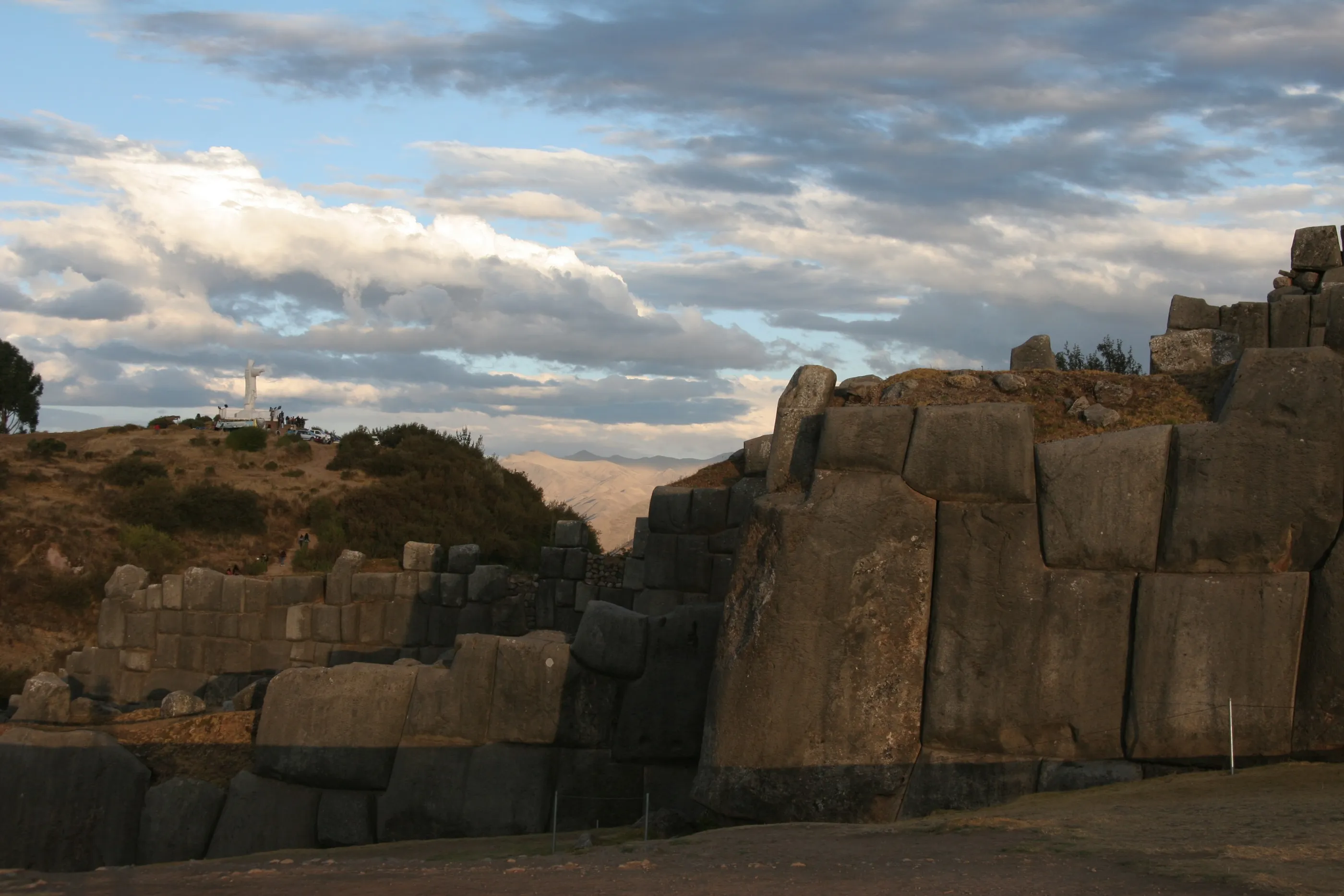
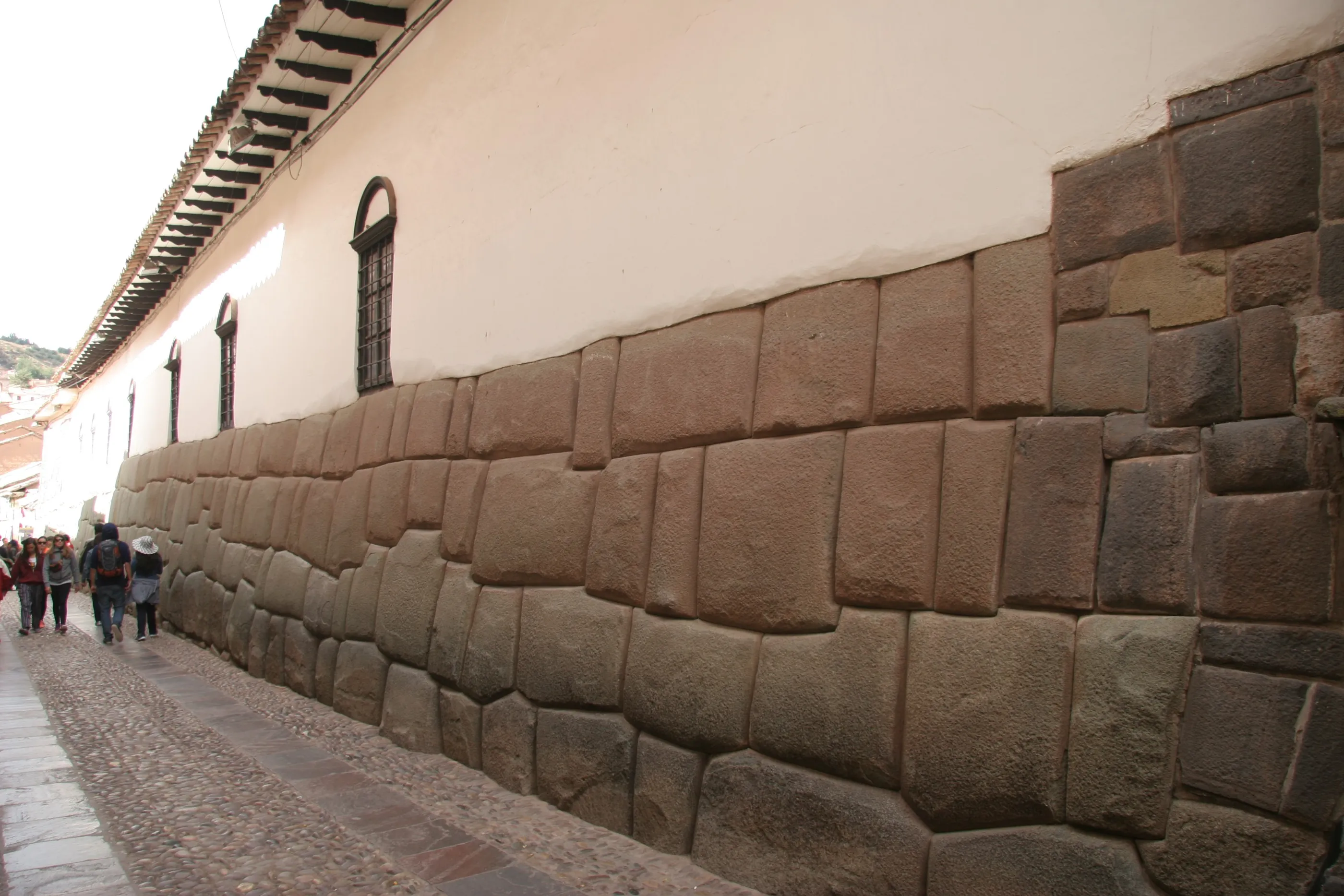
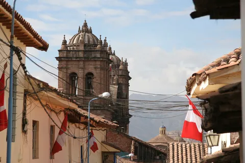
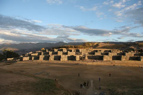
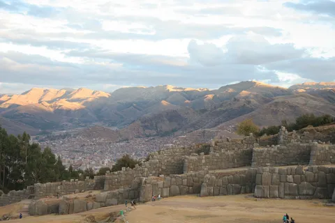
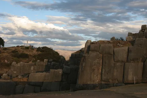
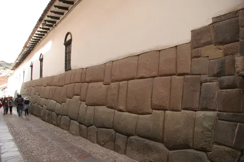
At last, time for the Inca monuments. In the lanes of Cusco, colonial churches rest on Inca walls with flawless joints — the twelve-angled stone, the Qorikancha turned convent. Back from Machu Picchu, we climb to Sacsayhuamán at sunset: its zigzag ramparts, its colossal blocks gilded by the light, then the city lighting up at blue hour.

By road↗ 42 km
Ollantaytambo and the Sacred Valley
Peru
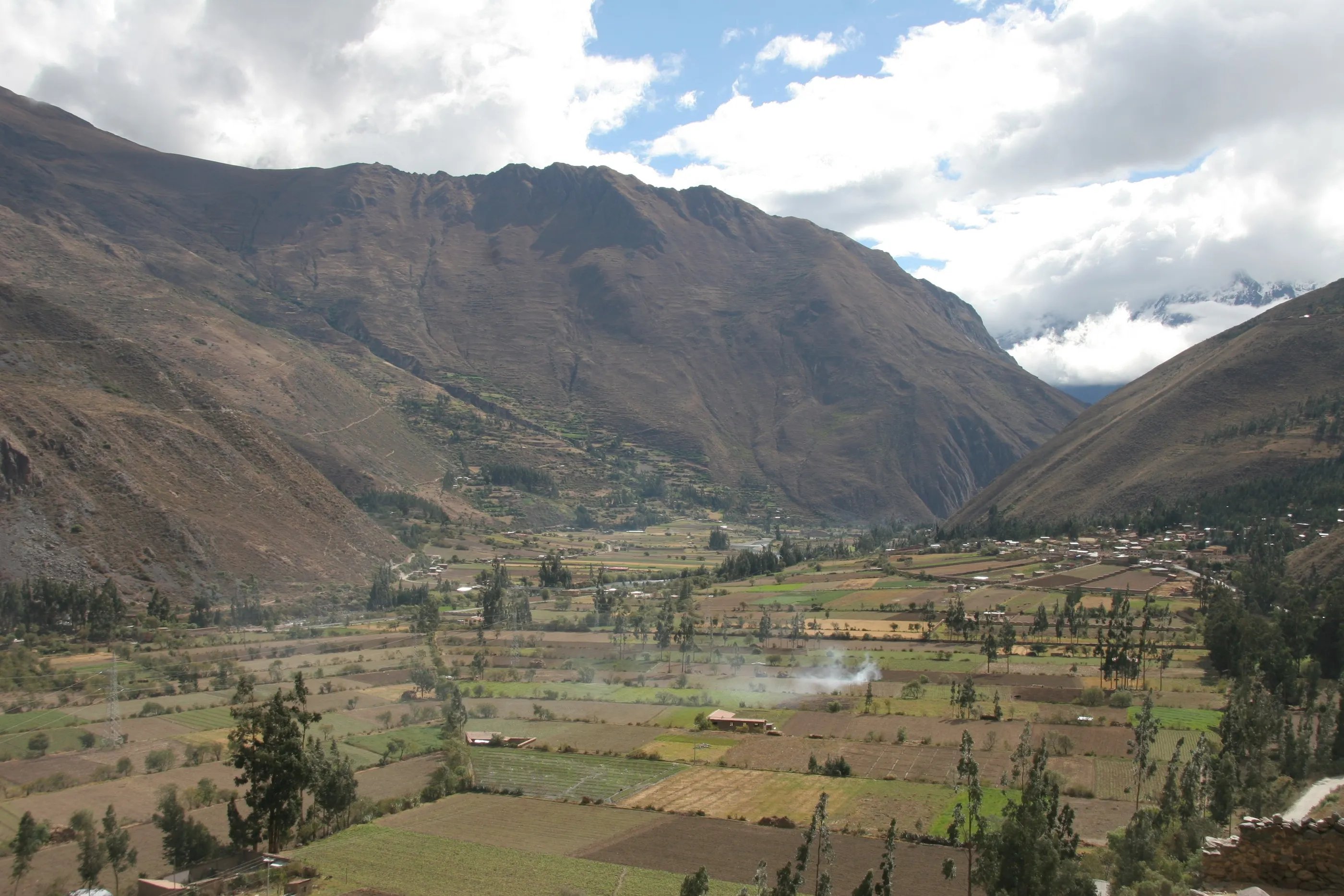
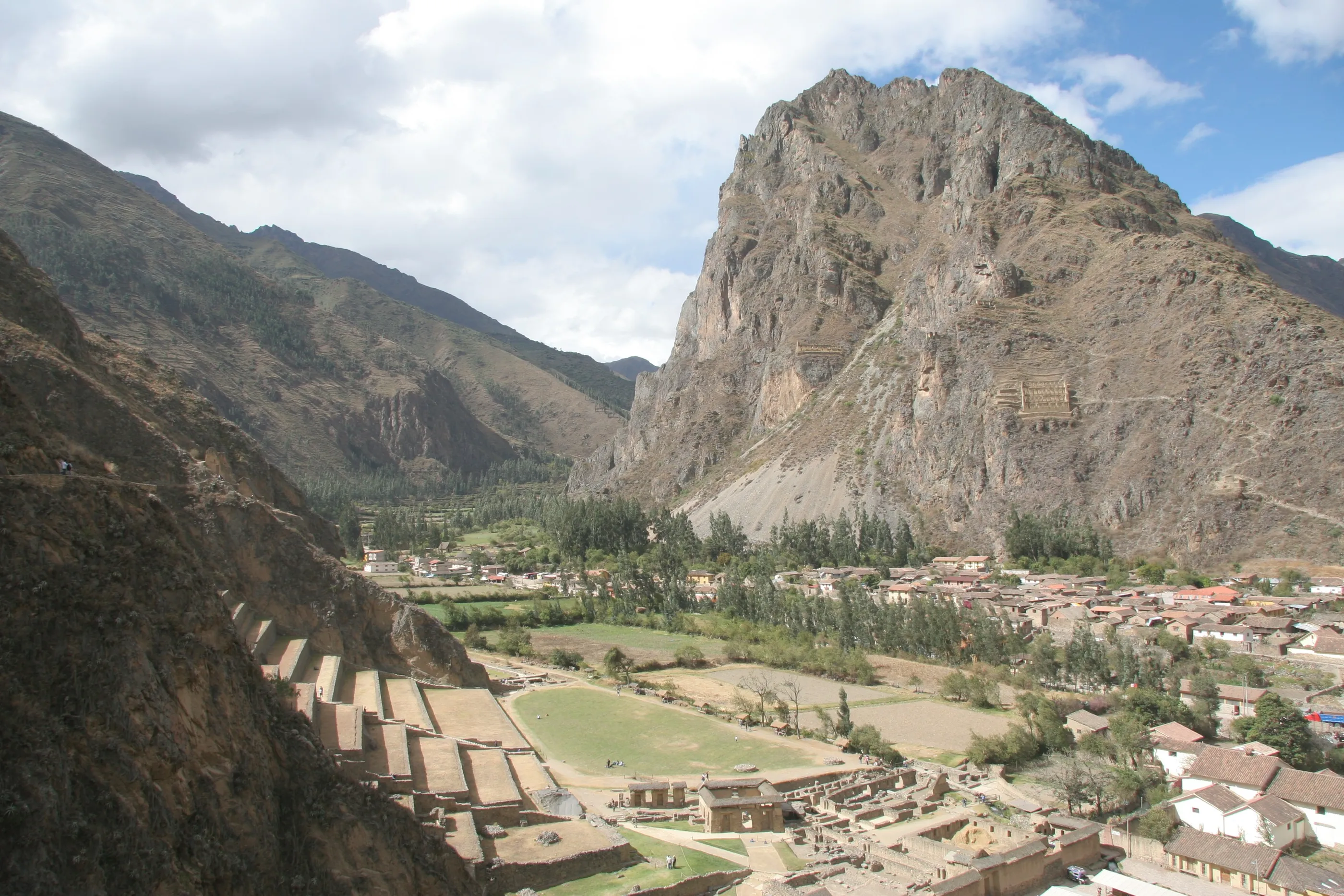
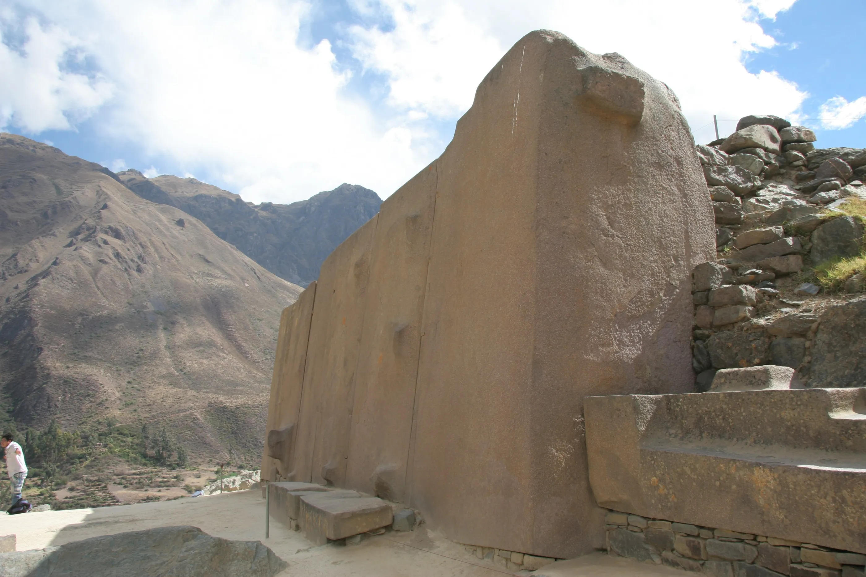
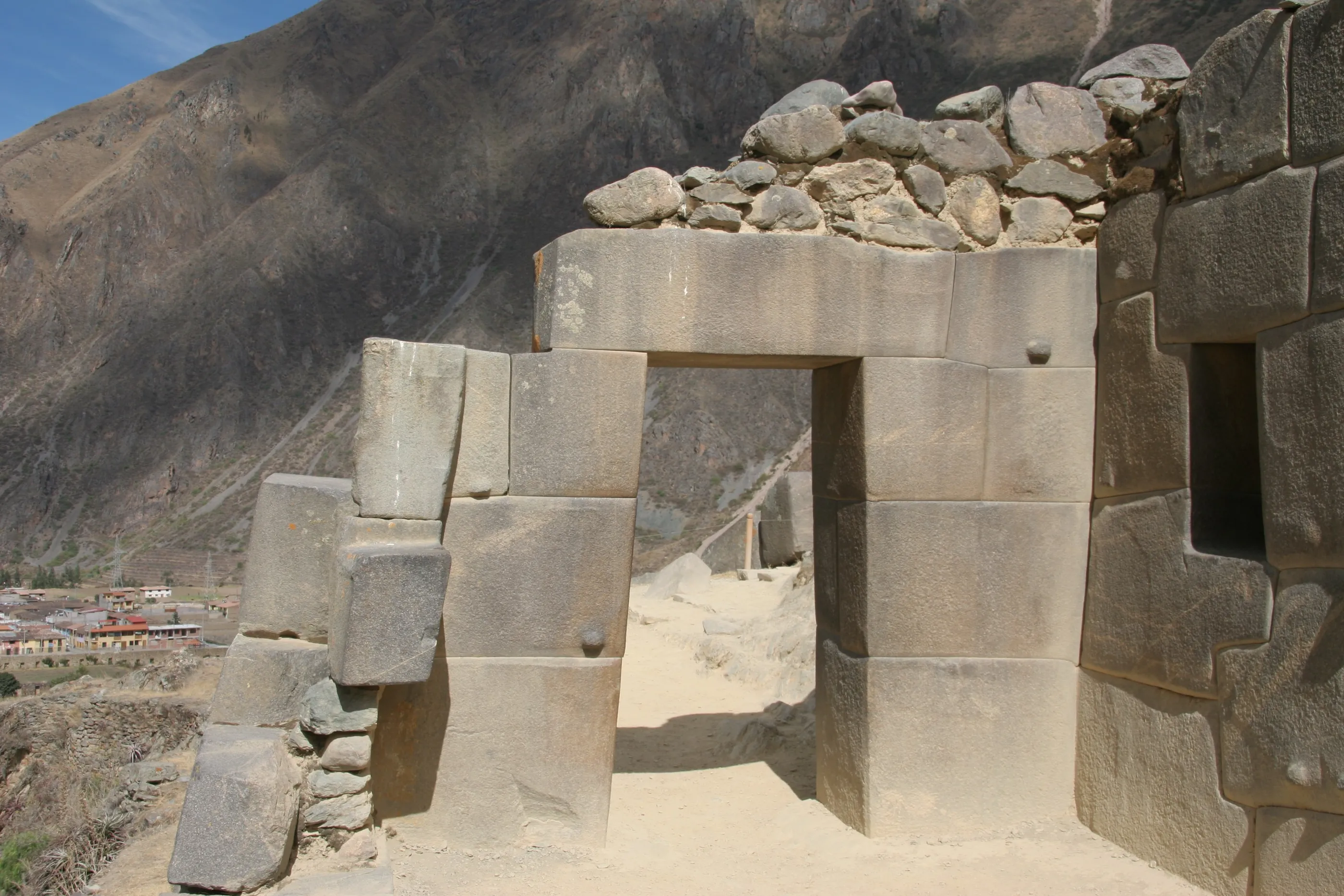
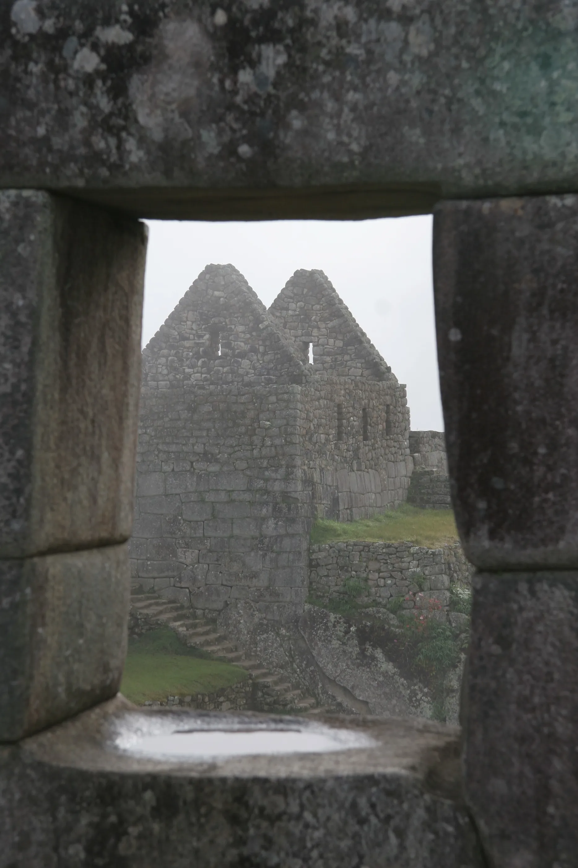
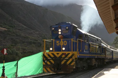
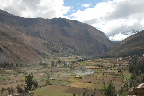
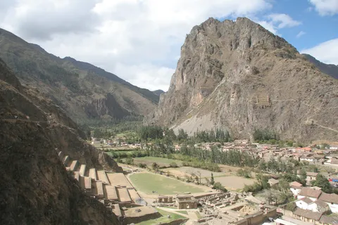
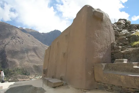
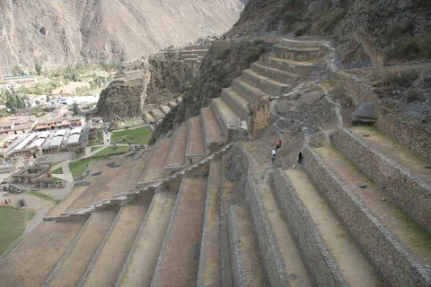
The fortress of Ollantaytambo, the one place where the Spaniards suffered a real defeat at the hands of Manco Inca. You have to see the size of the blocks cut by the Incas, and how finely they fit: almost no joints. From the terraces the Sacred Valley stretches out of sight; then the train follows the Urubamba gorge down to Aguas Calientes, where our first rain since arriving awaits us.

By train↗ 32 km
Machu Picchu
Peru
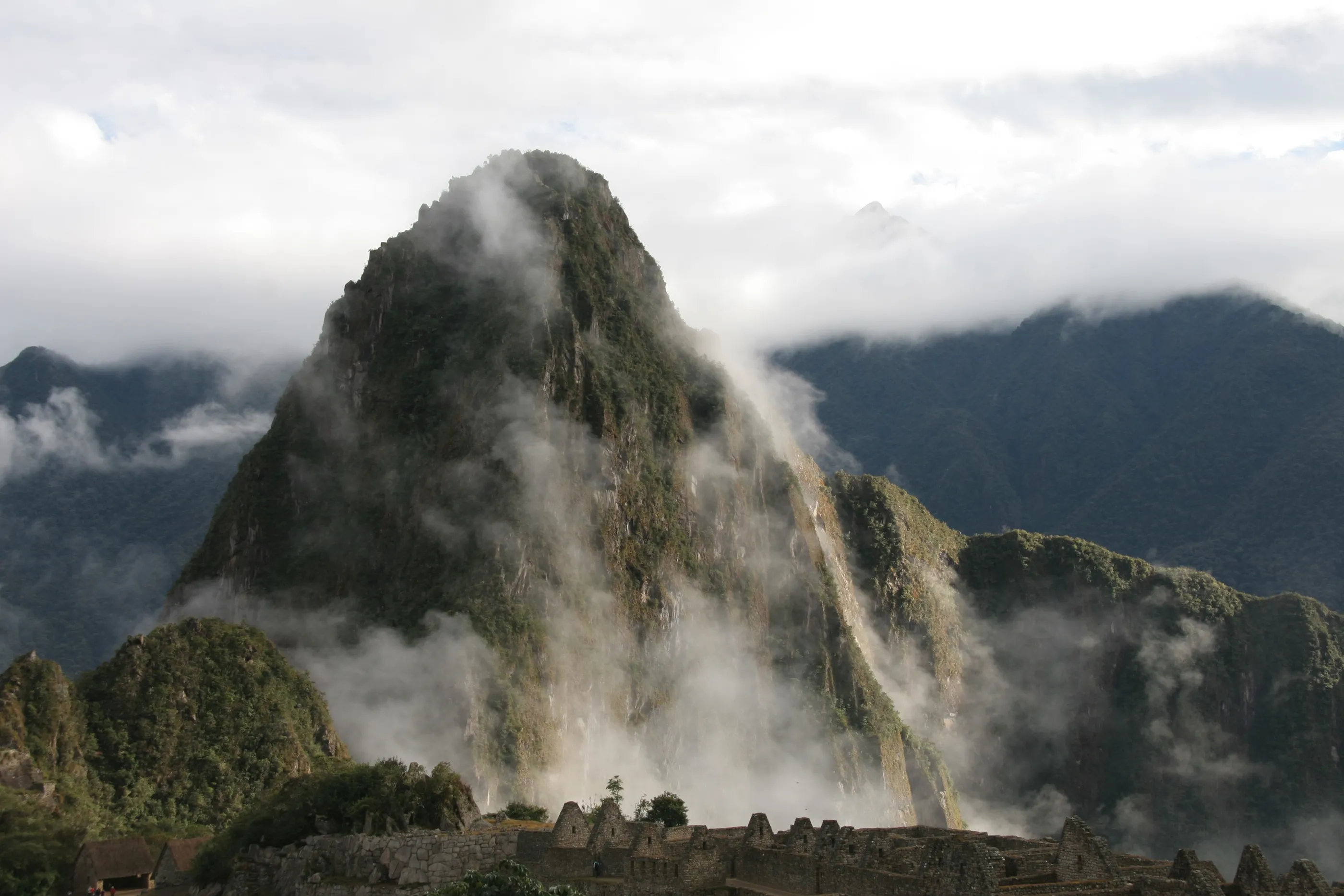
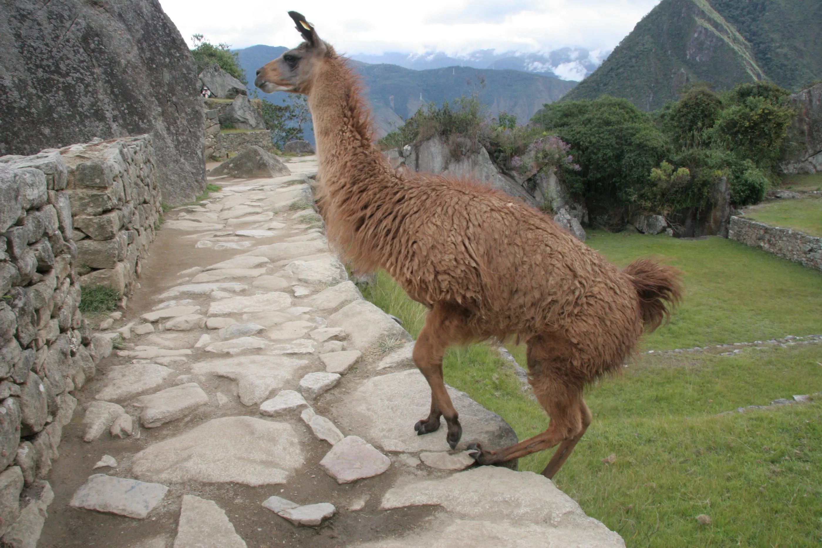
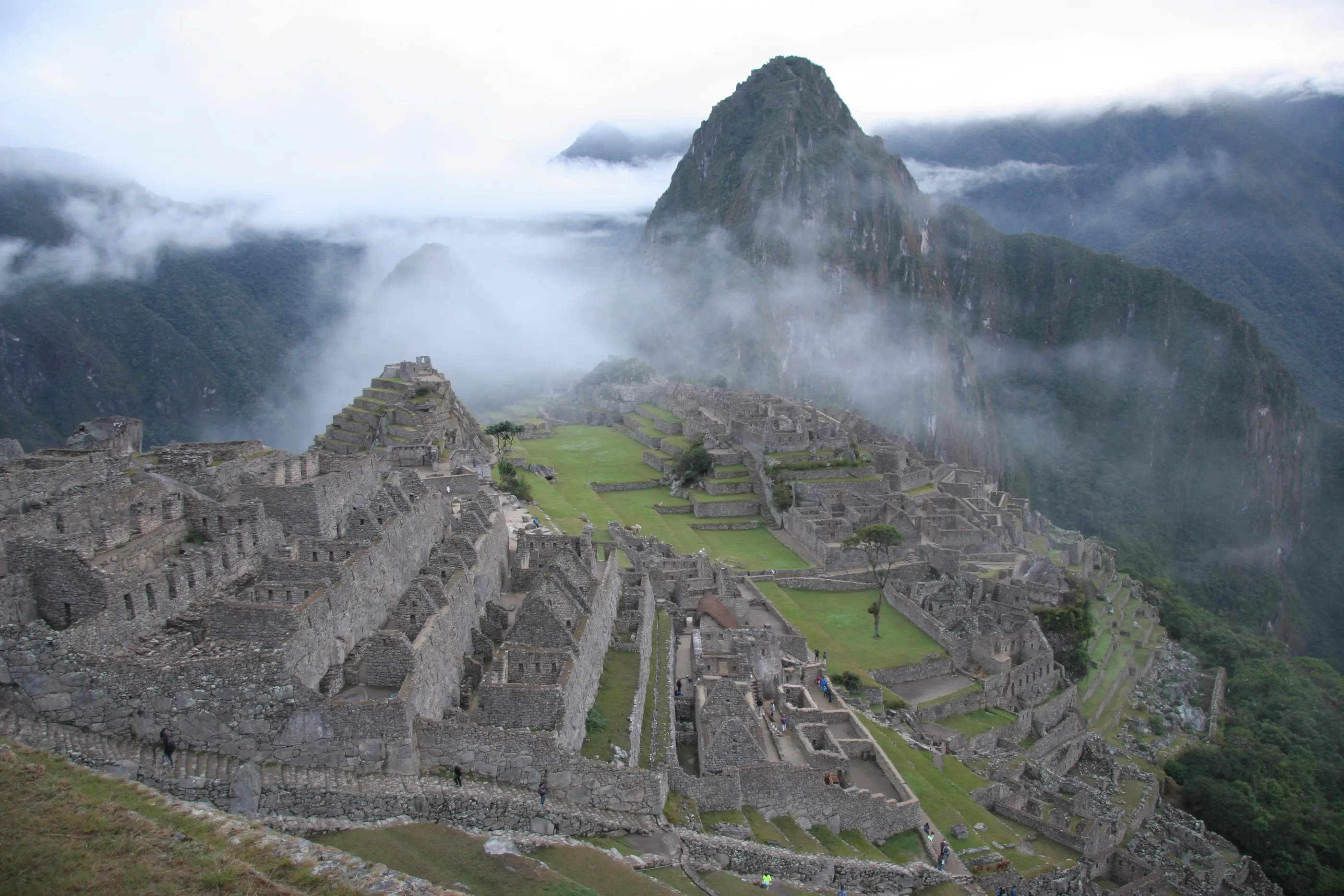
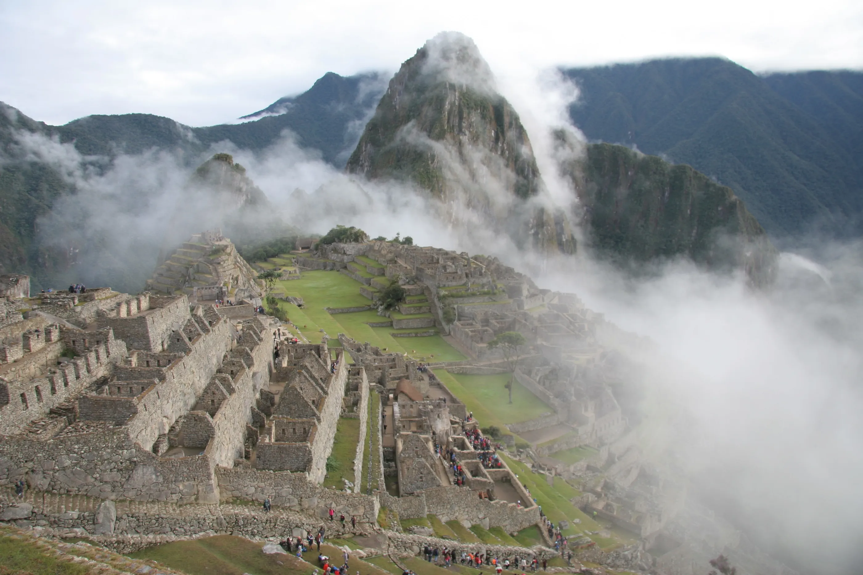
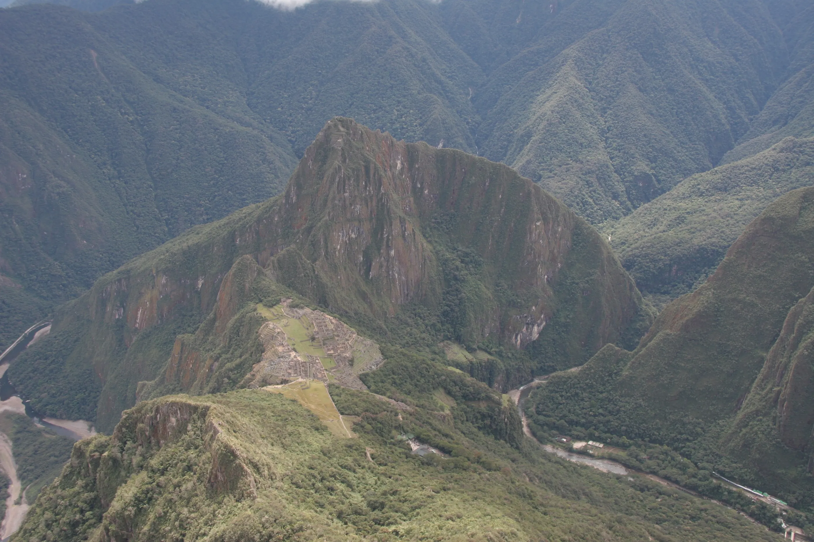
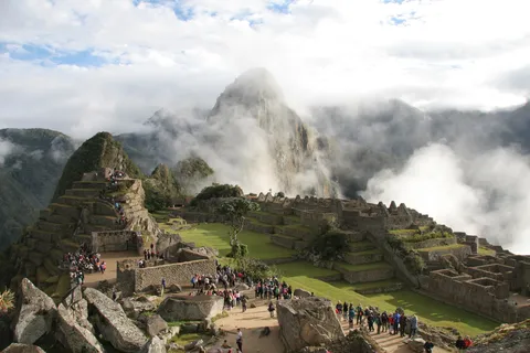
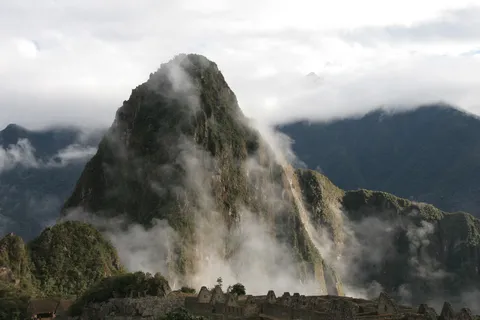
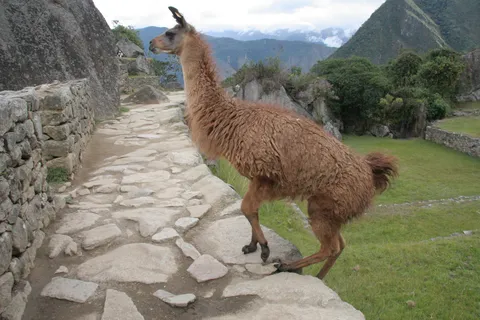
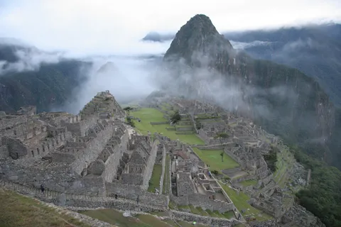
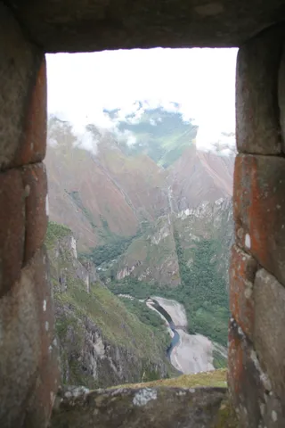
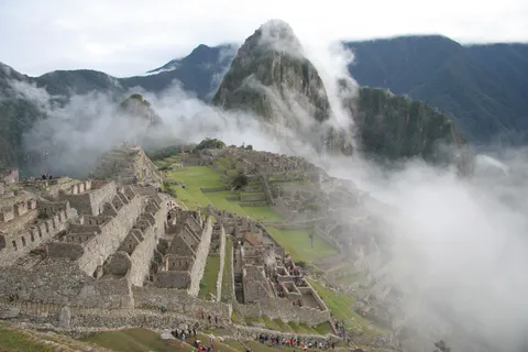
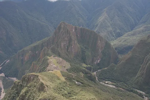
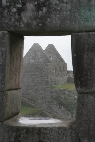
One of the high points of the trip. Up at 4:30 to beat the crowds, then an hour of stairs with steps 30 to 40 centimetres high: Machu Picchu has to be earned. In the early morning the mist still wraps the citadel and slowly lifts around Huayna Picchu — what a sight! Llamas with a weakness for bananas occupy the plazas; then the climb up Machu Picchu Mountain, 600 metres of stairs, for an unbeatable view over the citadel.
By plane↗ 512 km
Lima, in transit
Peru
A flight from Cusco to Lima, then straight onto the night bus heading north. “Full cama” seat-beds, meal trays, personal screens: a journey worthy of business class. It is the first of a string of nights spent on the road.
By road↗ 485 km
Trujillo: Chan Chan and the Huacas de Moche
Peru
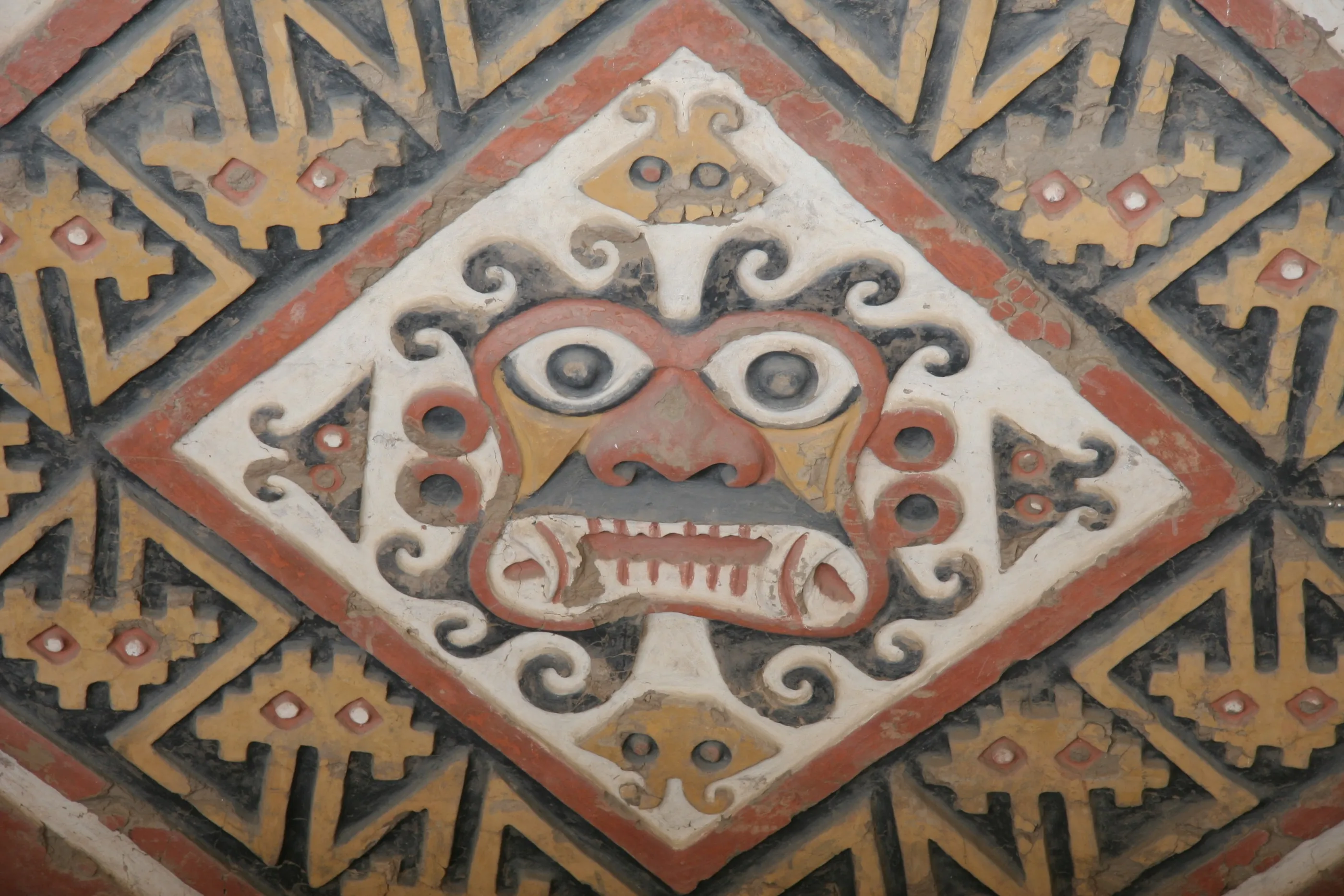
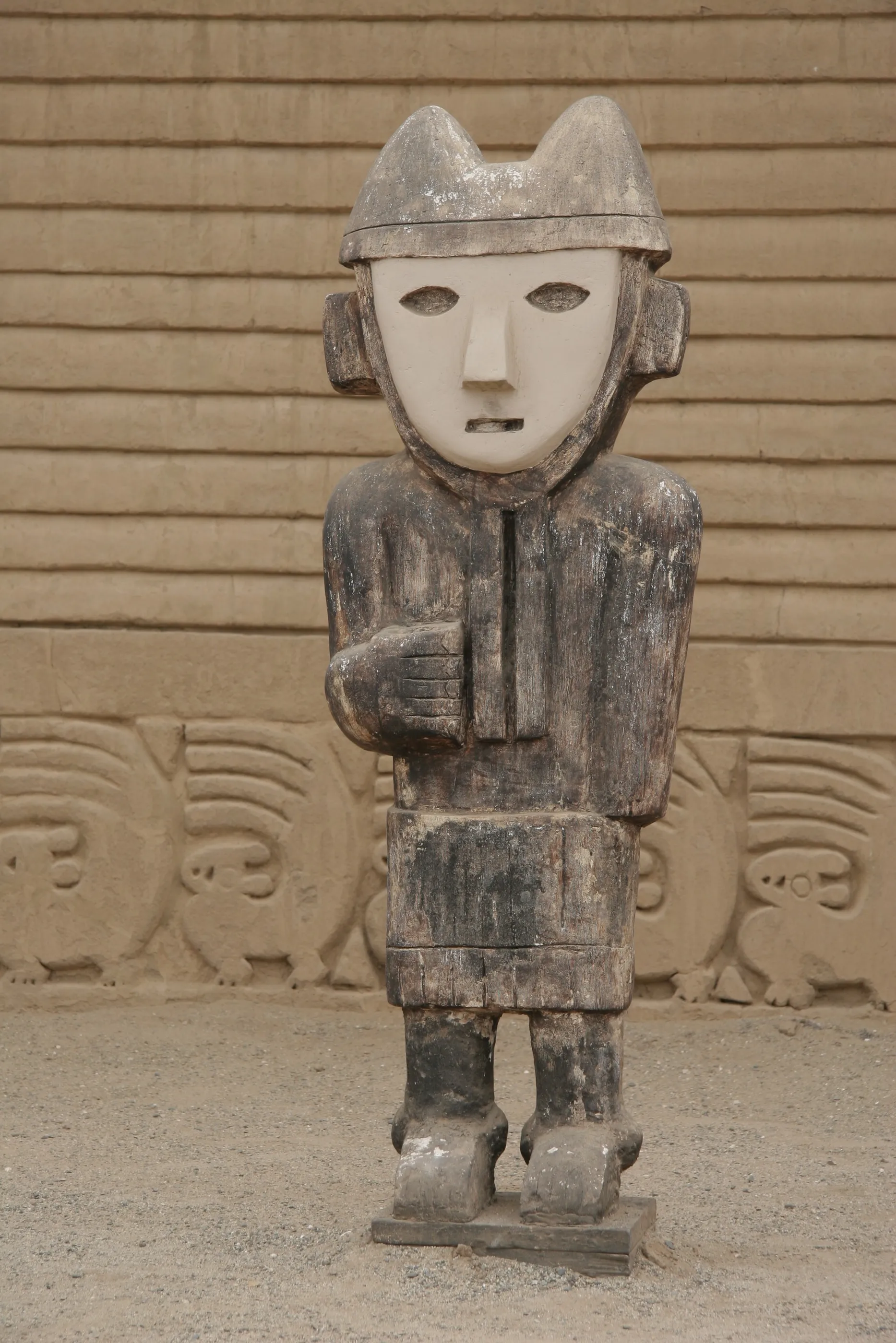
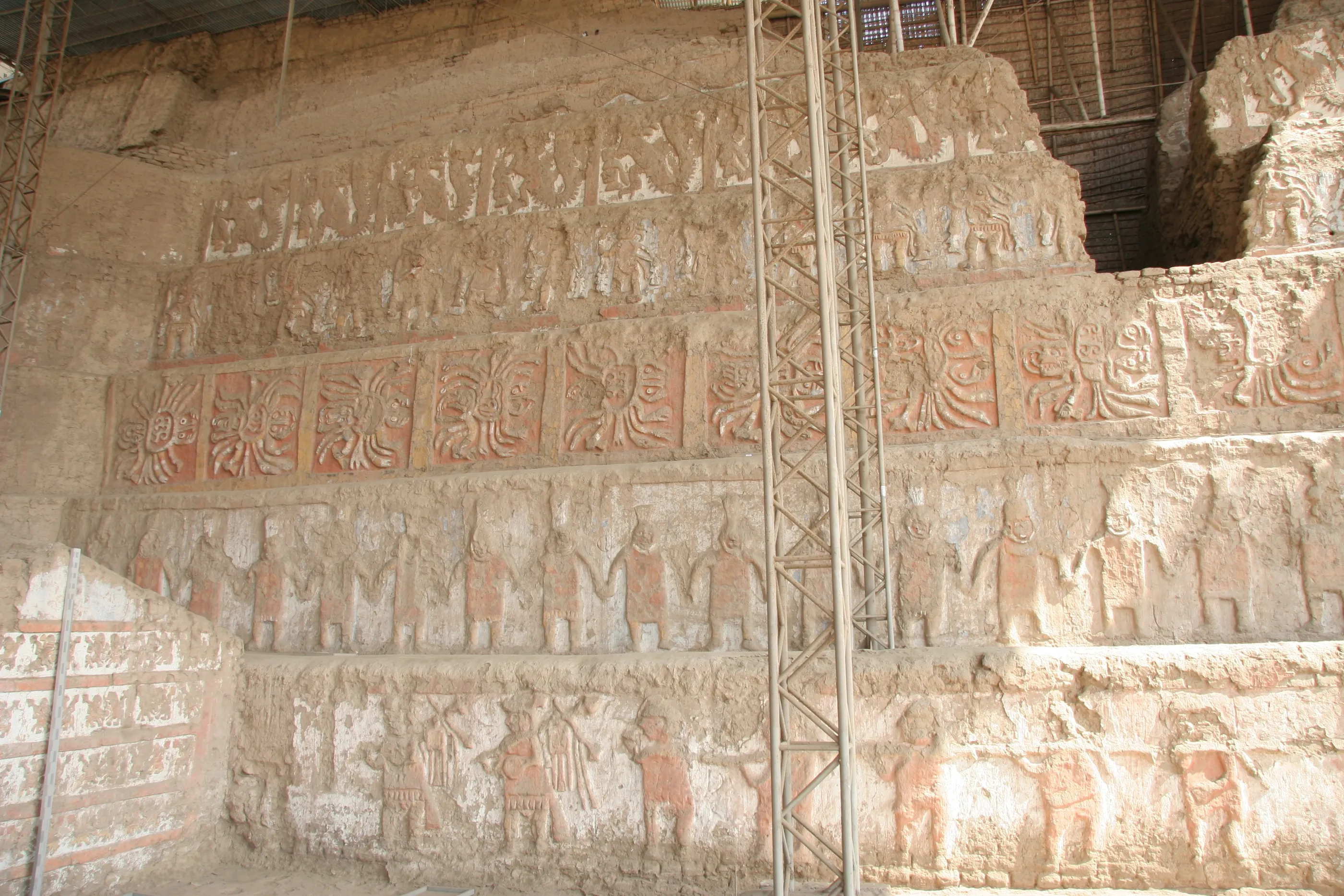
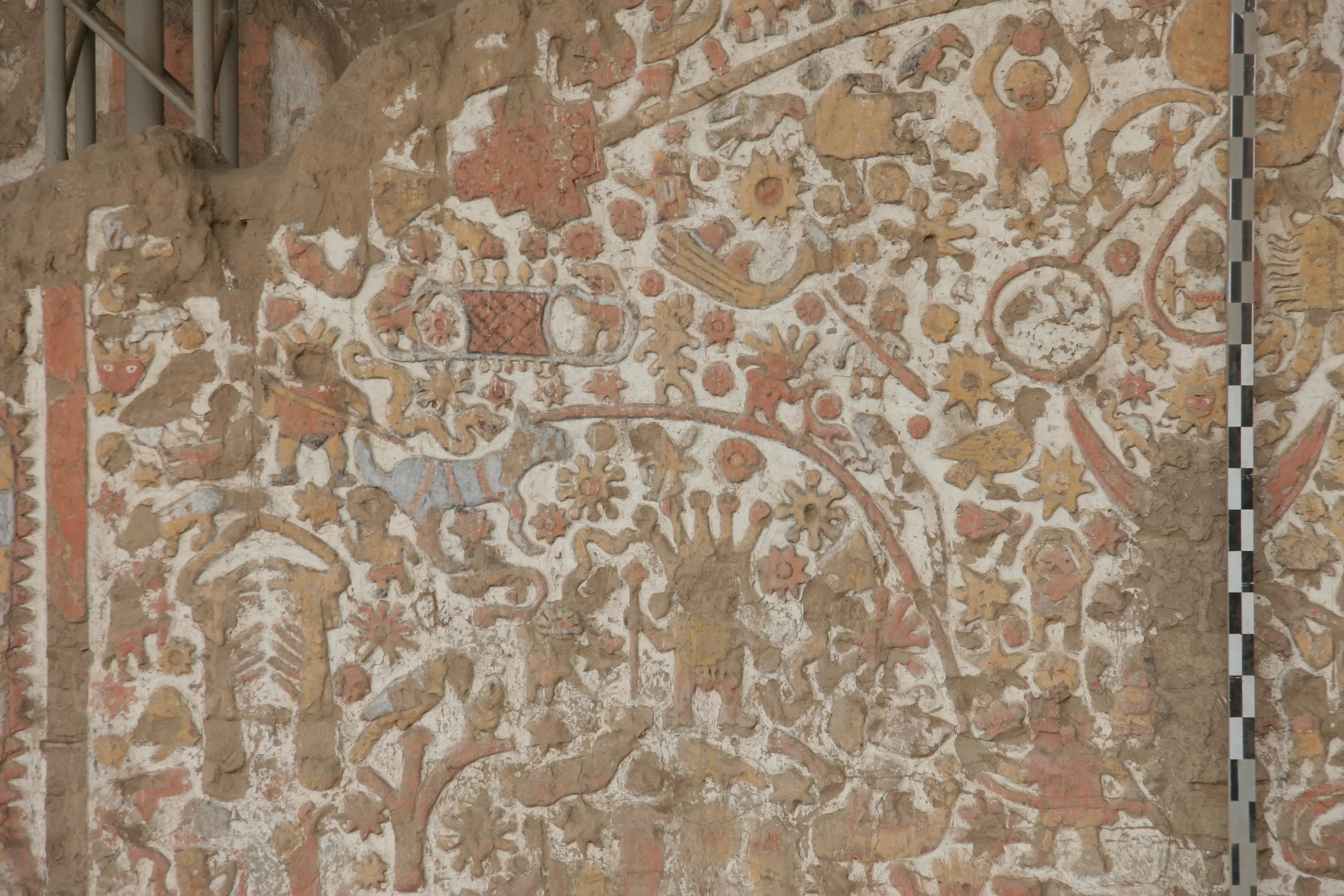
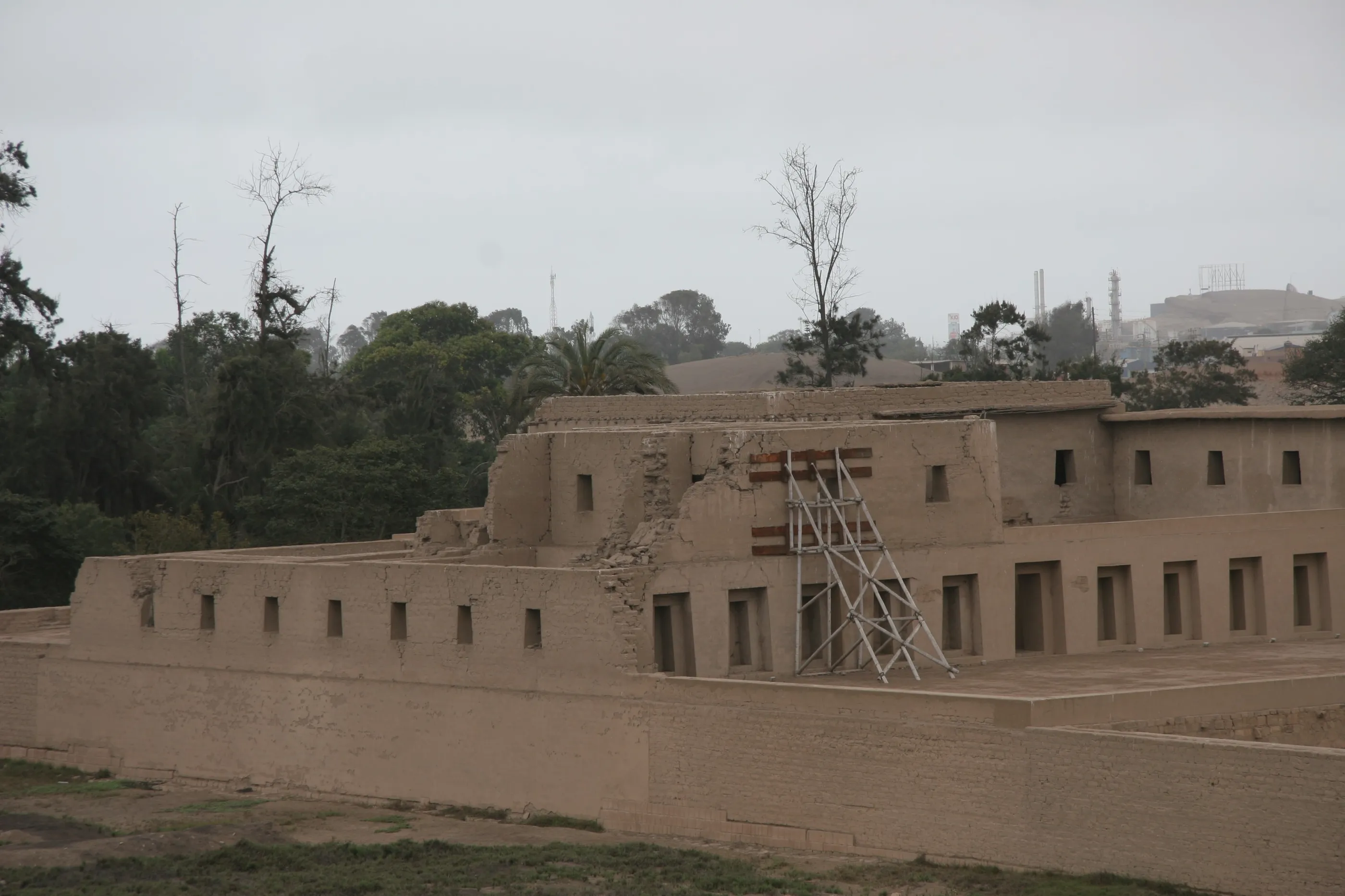
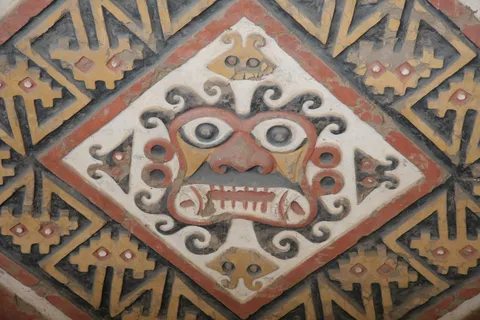
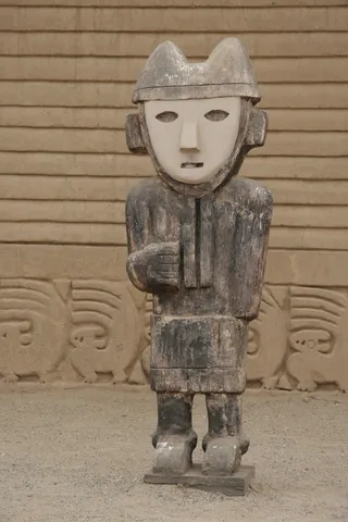
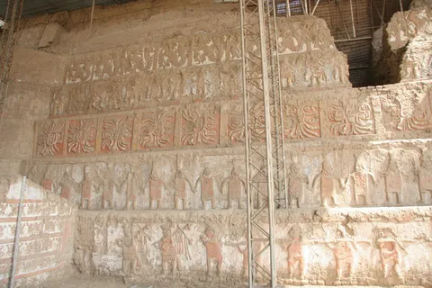
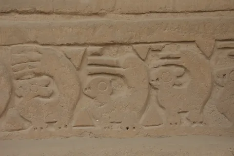
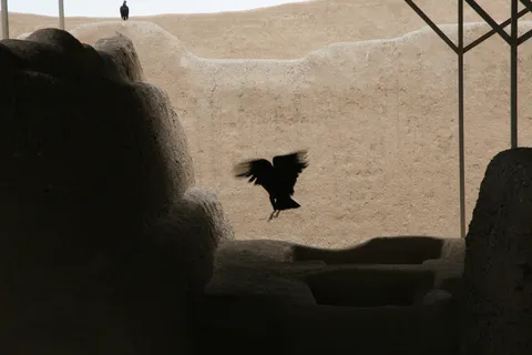
Chan Chan, the Chimú capital, one of the largest pre-Columbian cities in the Americas, built entirely of adobe: we wander through a restored palace whose walls are latticed like fishing nets, then cross the city on foot through a desolate landscape worthy of Dune. On the other side of town, the Huaca del Sol is now just a pyramidal mound, but the Huaca de la Luna has kept its paintings: the god Ai Apaec, the warriors, the dancers. We don’t know where to look first.


By road↗ 227 km
Chachapoyas and Kuélap
Peru
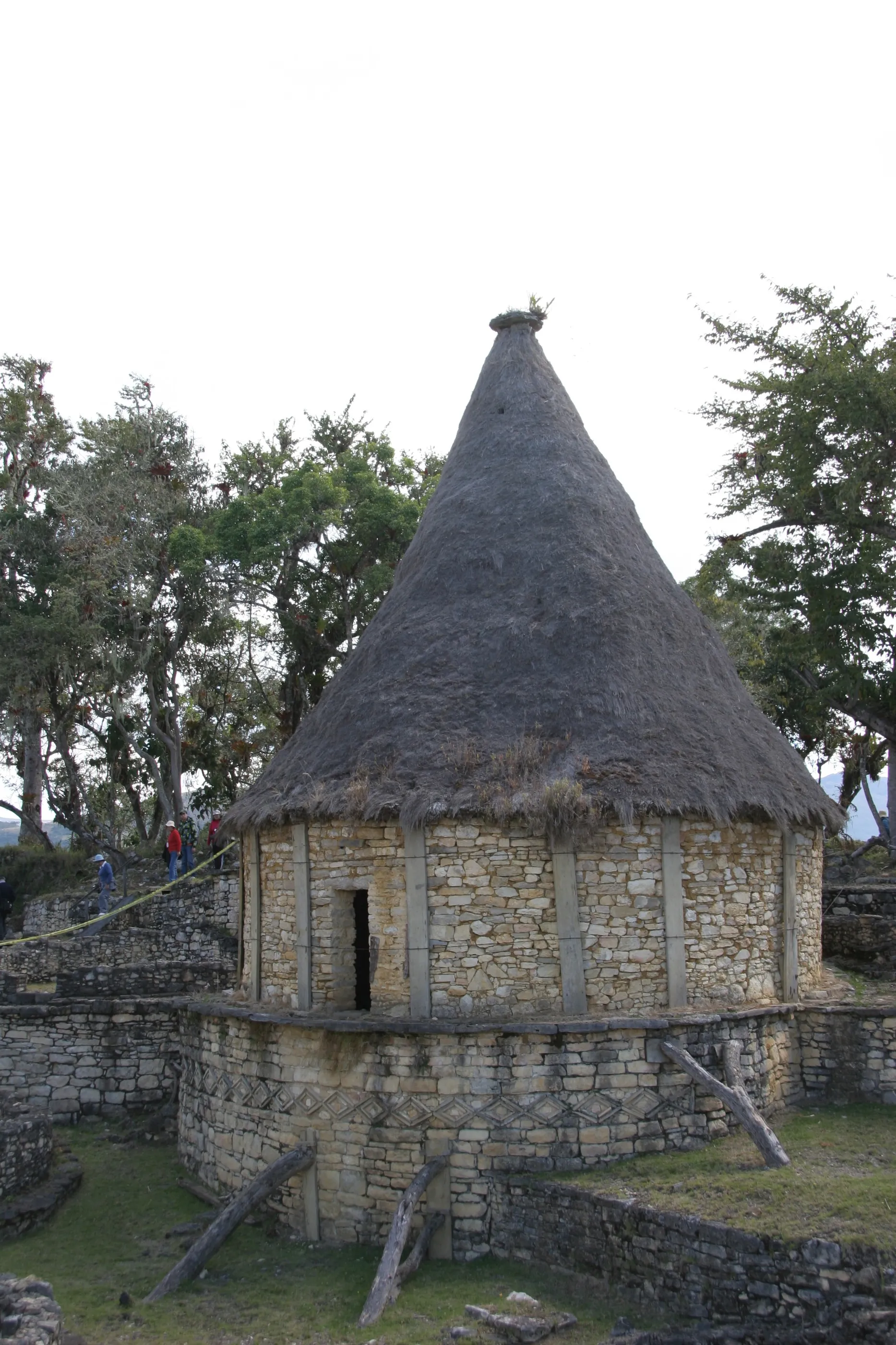
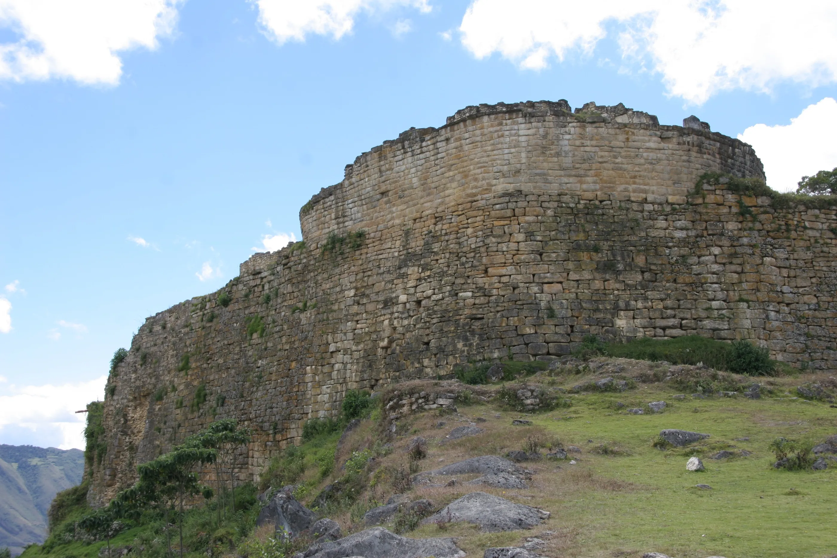
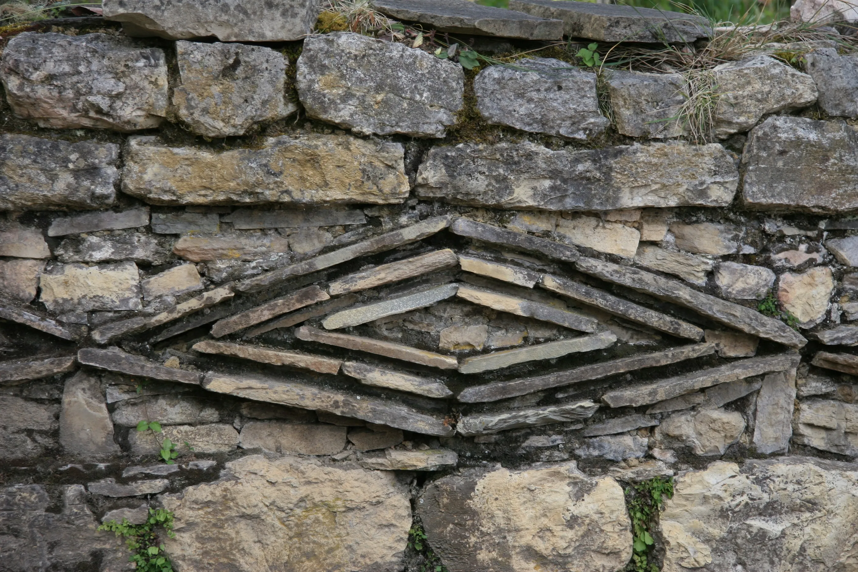
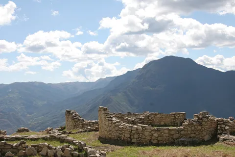
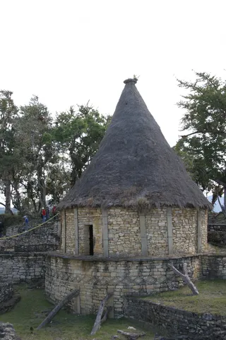
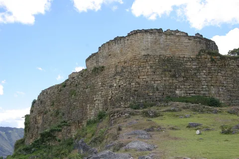
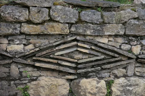
After a ceviche and another night bus, here we are in Chachapoyas, above 2,300 metres. Kuélap, the citadel of the Chachapoya, crowns a rocky spur: walls 20 metres high, round houses adorned with lozenge friezes, and, so they say, more stone than went into the pyramid of Khufu. Beautiful, truly beautiful, with the Andes behind. Visiting the same day saves us a day: yet another night bus, heading north.
By road↗ 431 km
Máncora
Peru
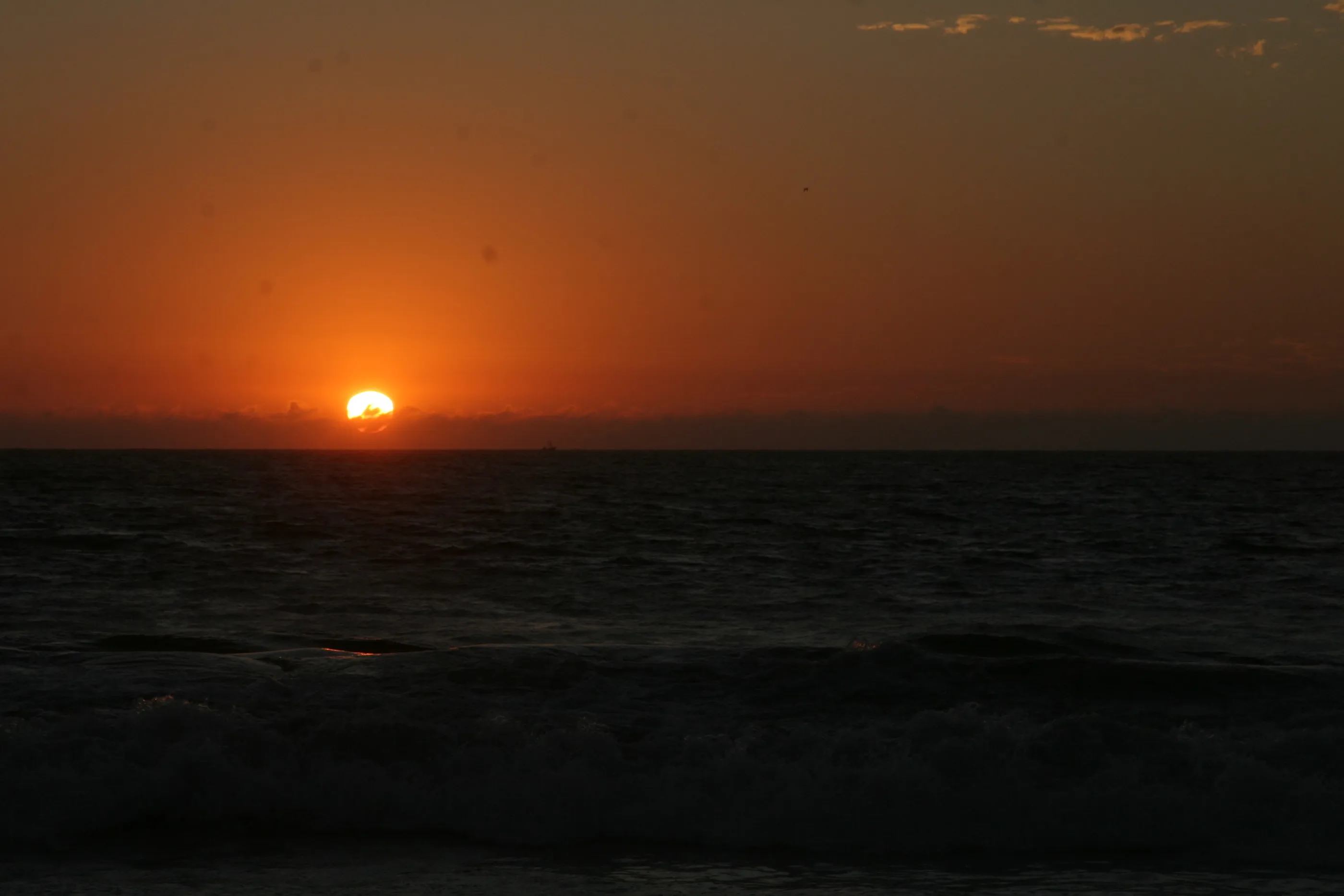
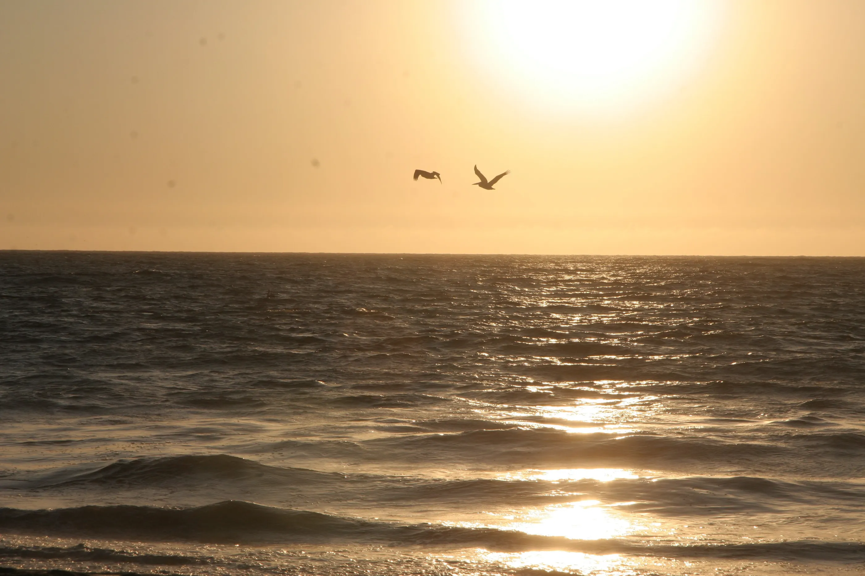
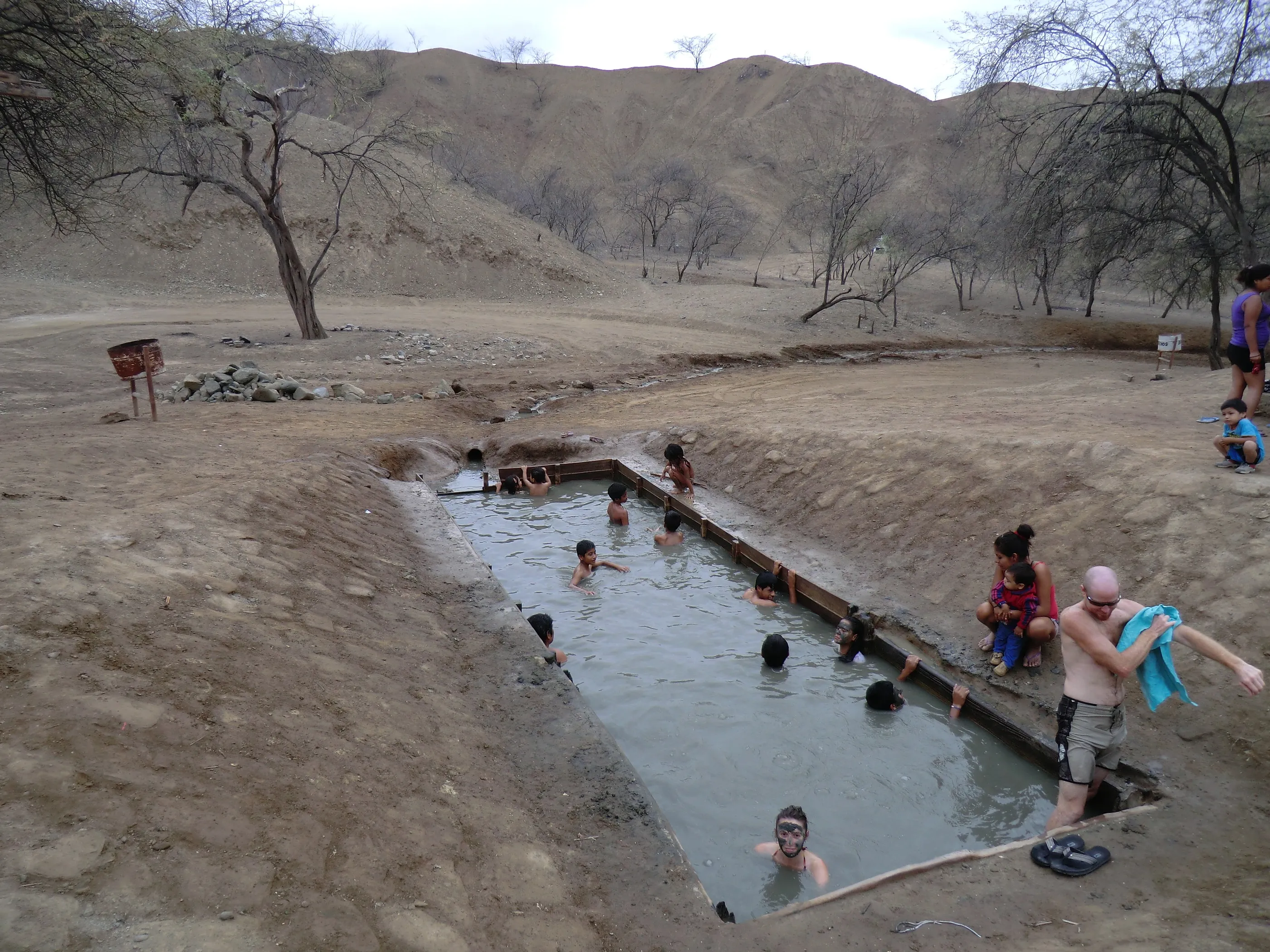
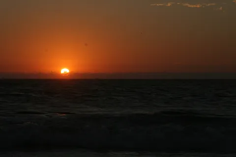
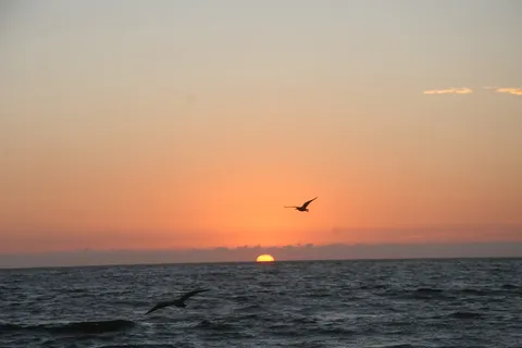
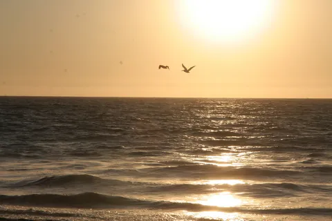
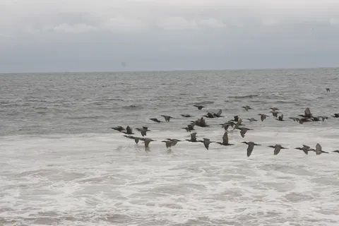
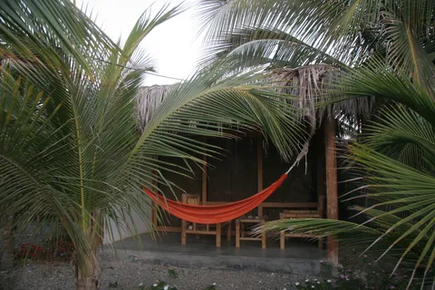
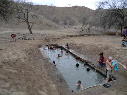
The Pacific, almost at the Ecuadorian border. Huge waves where we play daredevils, dives cut short to a quarter of an hour by strong currents, a surf lesson blown away by the wind. But there is the sun, pelicans at sunset, and sulphurous mud baths in the dry forest of the Hervideros.
By road↗ 987 km
Lima, the City of Kings
Peru
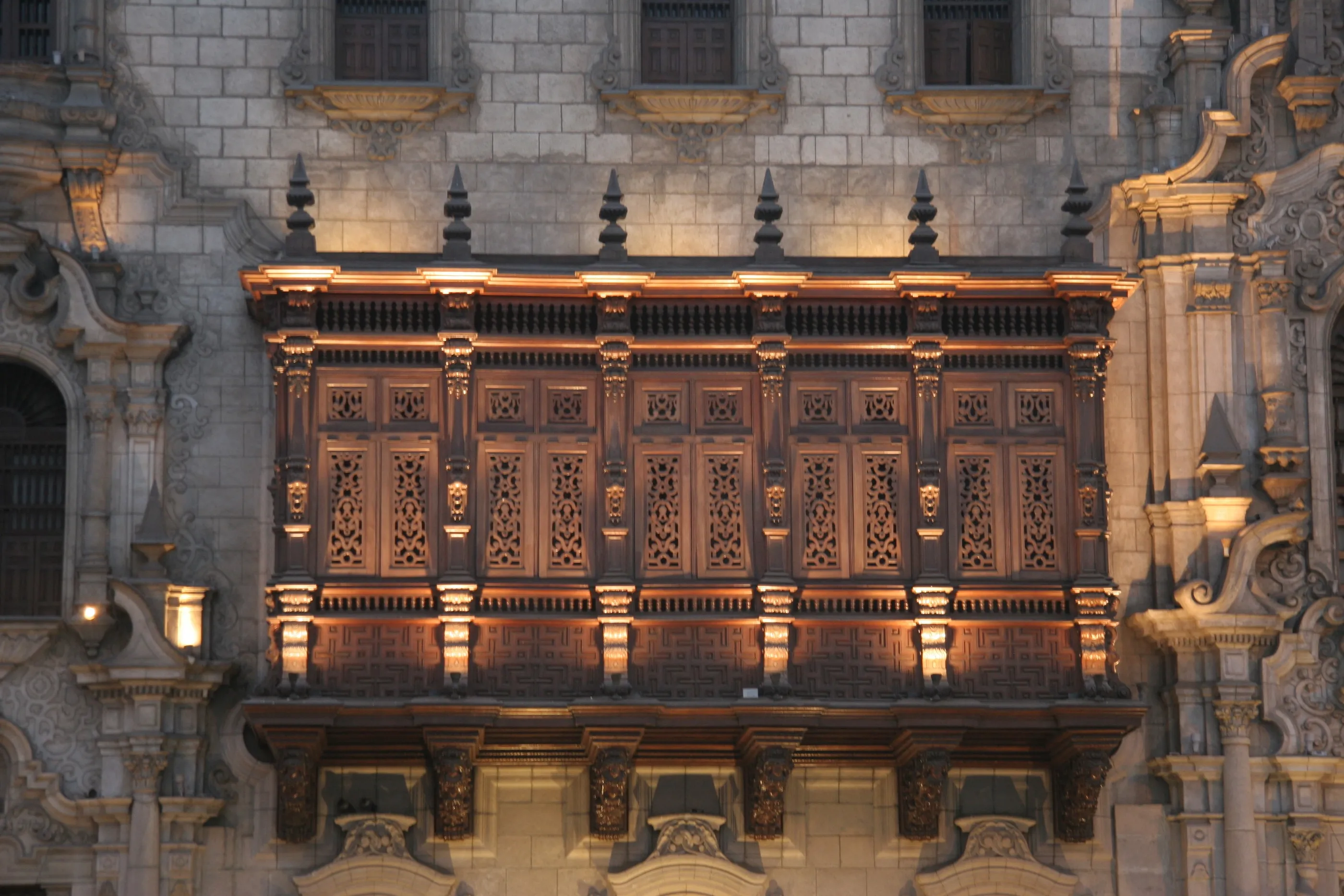
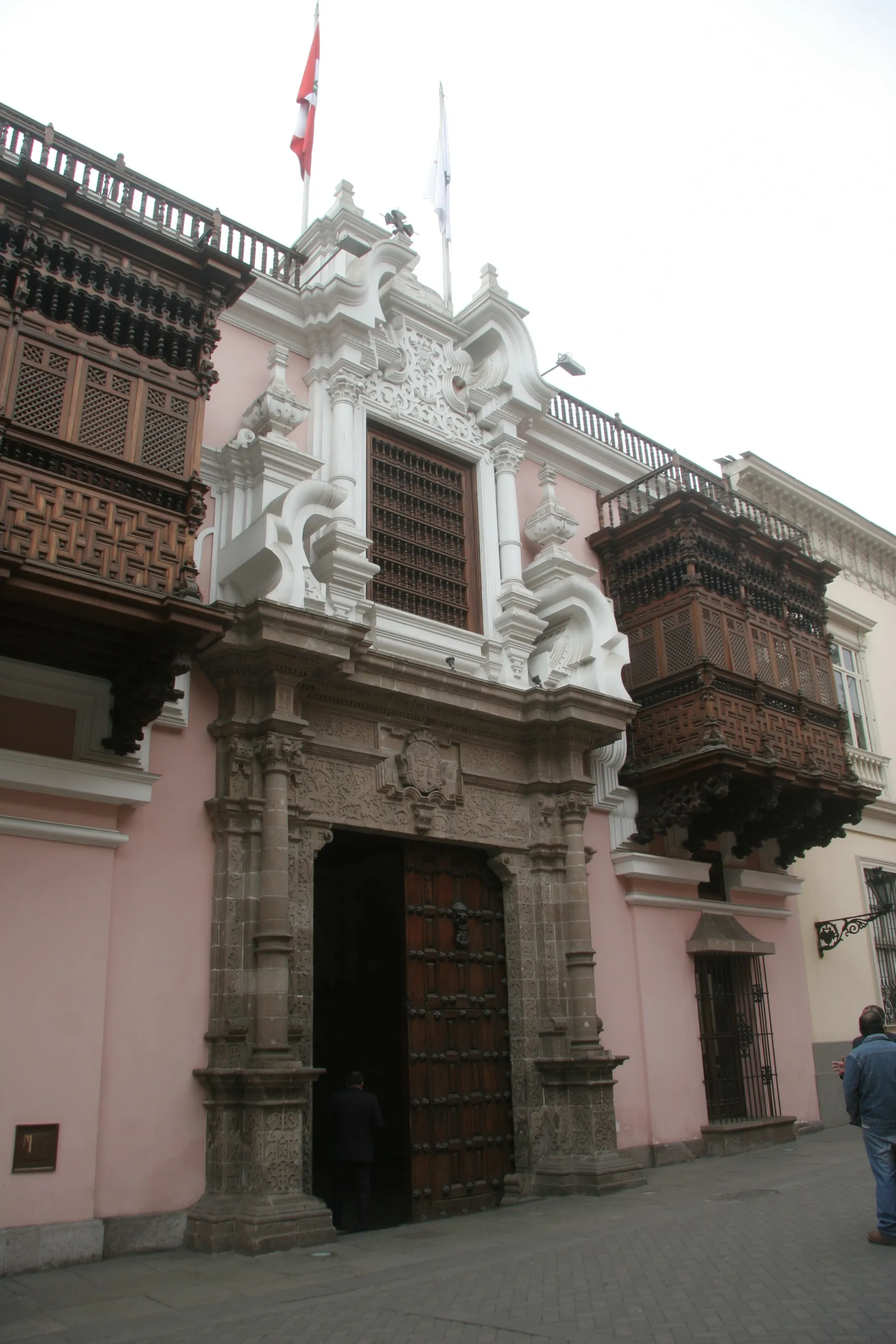
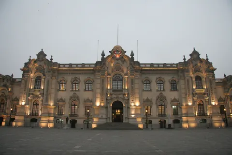
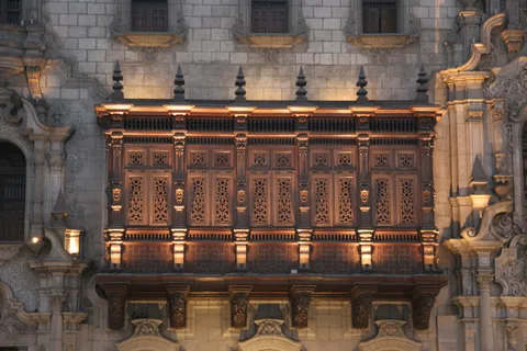
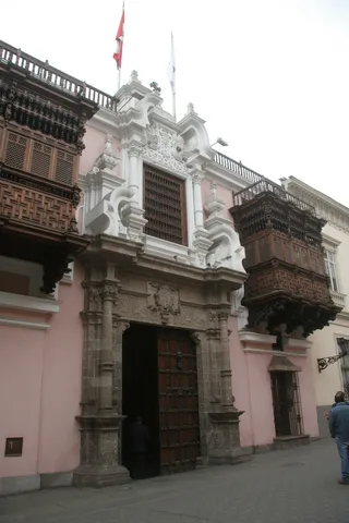
Seventeen hours by bus from Máncora, the speedometer on display so everyone can keep an eye on the driver. Lima greets us in its winter mist, the garúa, which lends it a melancholy air. But the former capital of a fabulously rich empire is above all a profusion of churches, carved wooden balconies and palaces, and the government palace lit up at blue hour.
By road↗ 27 km
Pachacamac
Peru
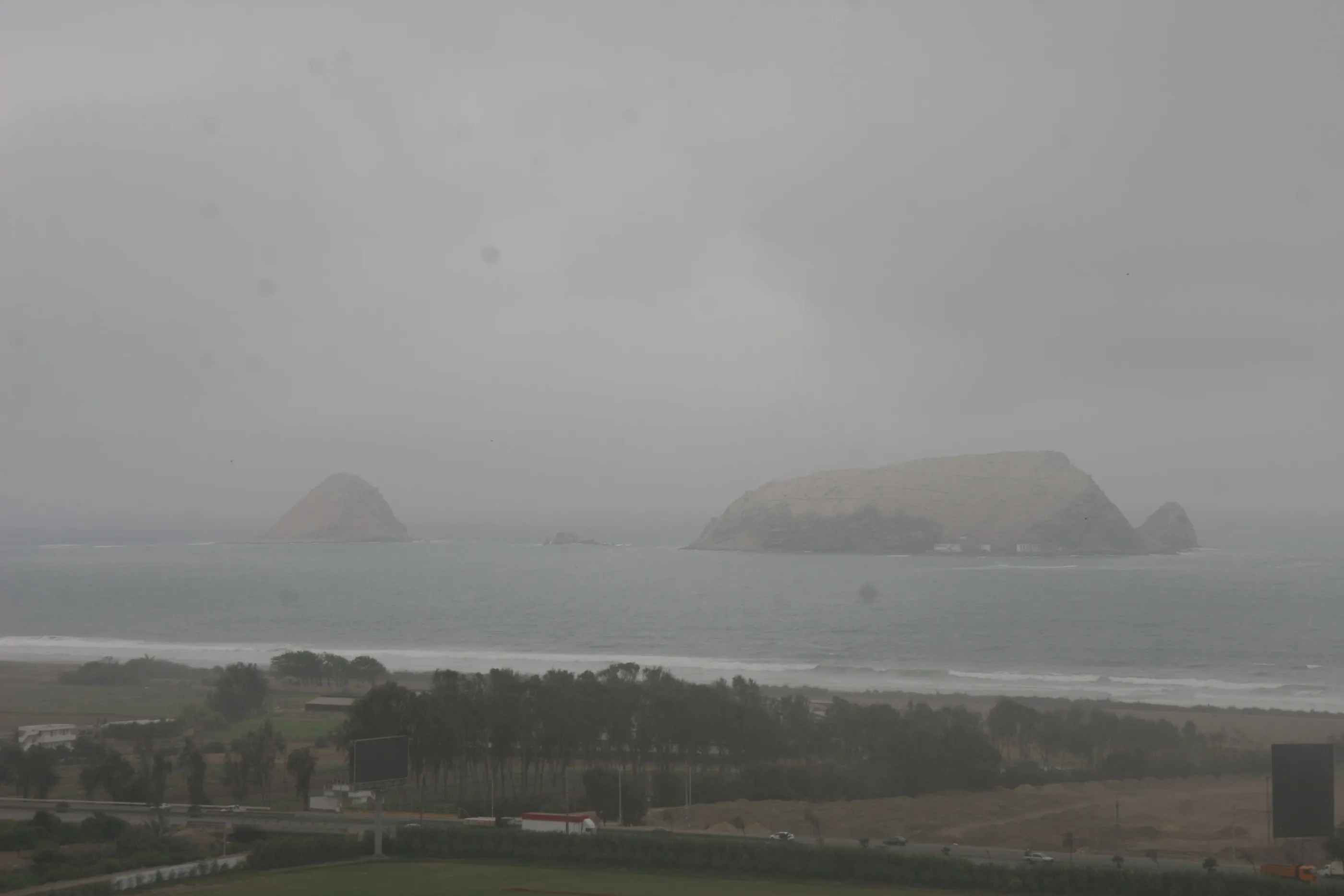
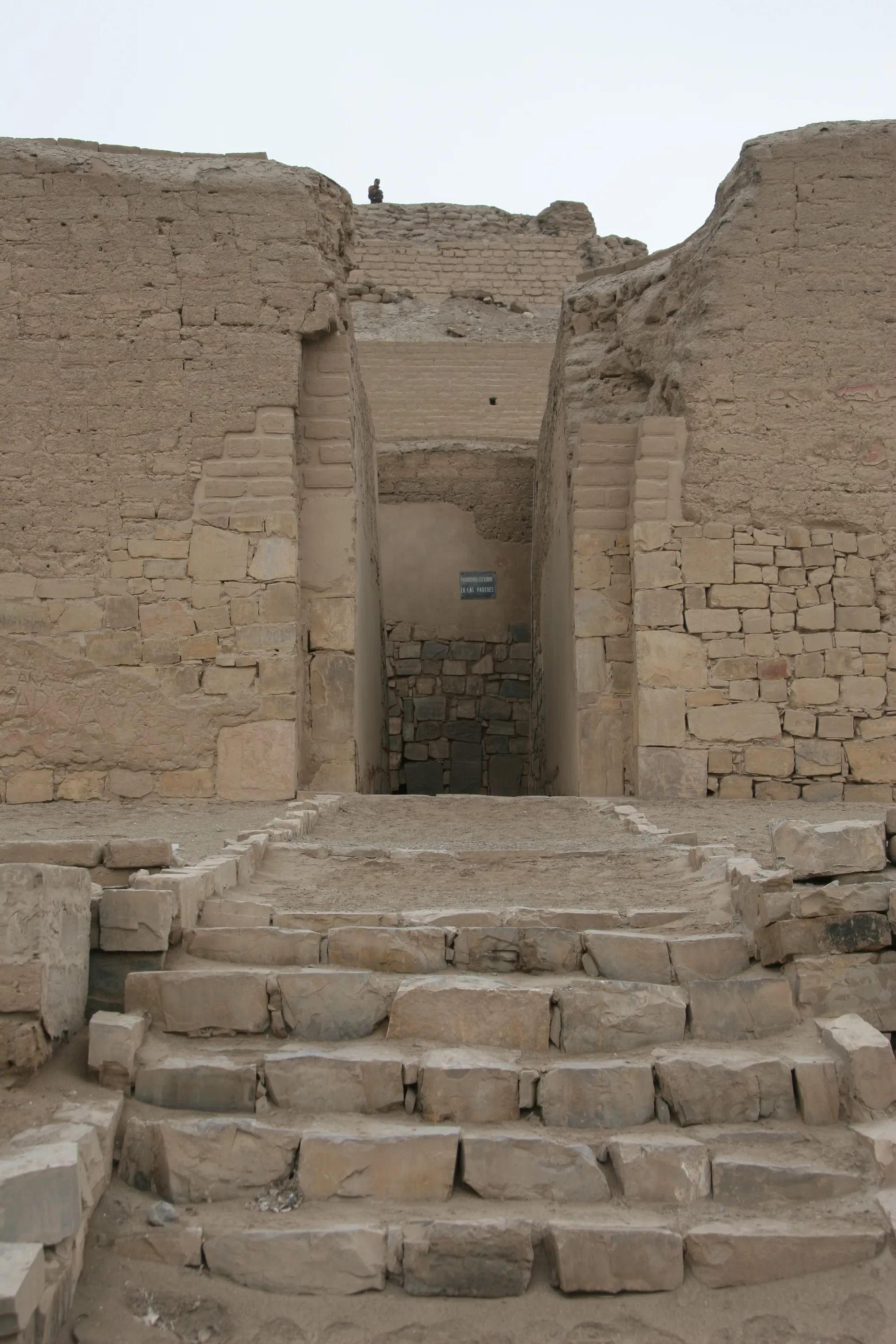
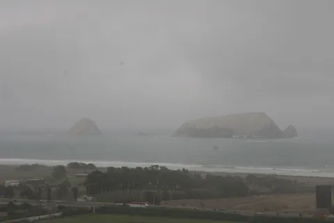
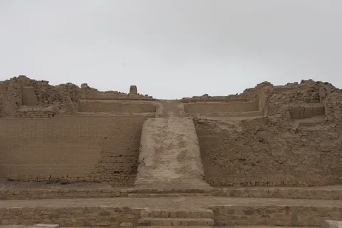
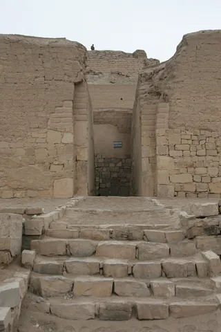
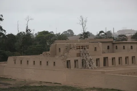
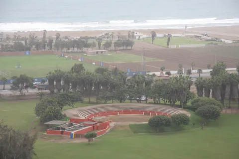
South of the city, facing the Pacific, the sanctuary of Pachacamac, used by one civilisation after another for centuries and the great oracle of the Andes. The site is immense, even though many buildings have melted away as at Chan Chan — adobe doesn’t survive the rain. What remains are the ramped pyramids, the Temple of the Sun and the Acllahuasi with its trapezoidal niches, with the islands offshore.
By road↗ 28 km
Lima: Museo Larco and San Francisco
Peru
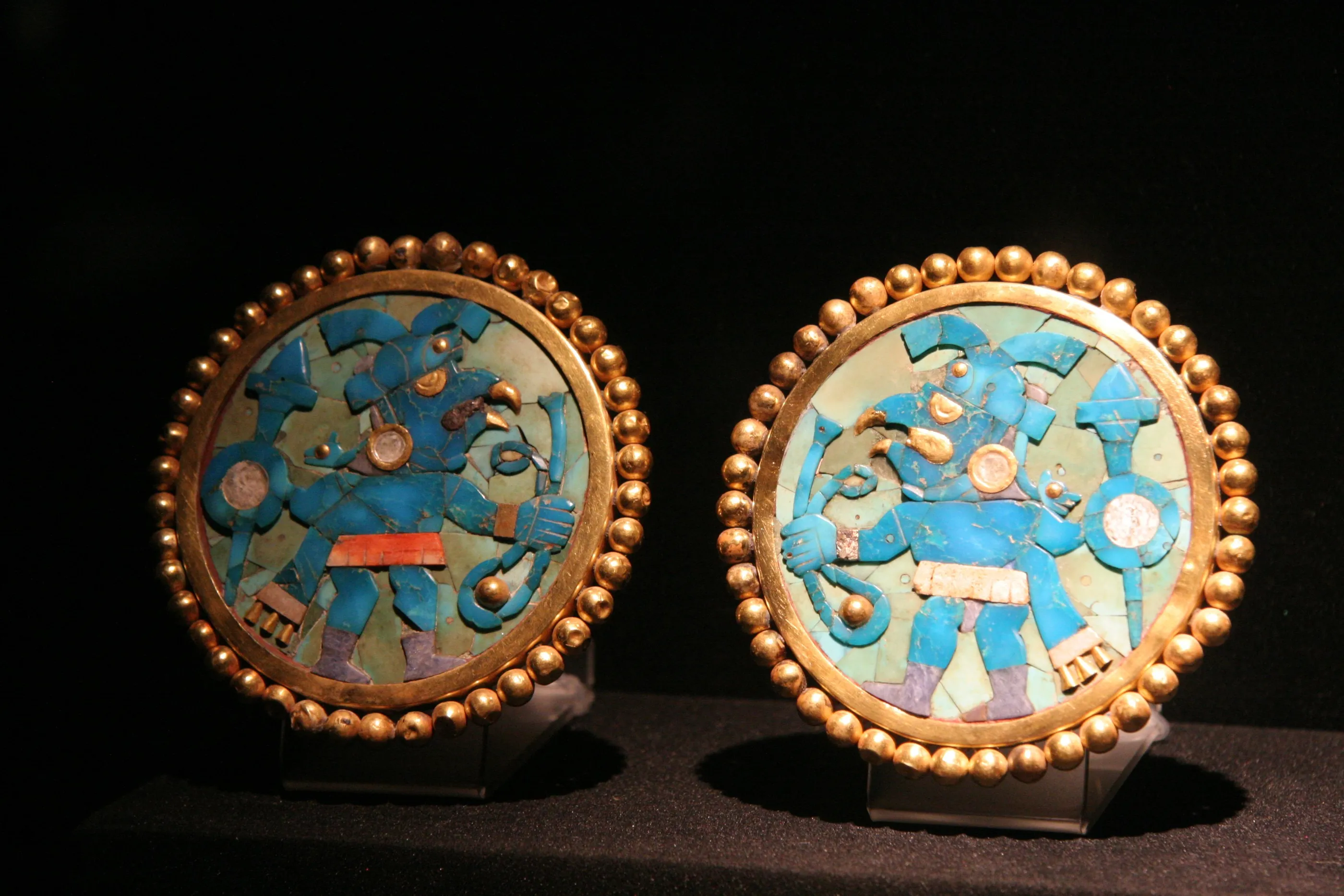
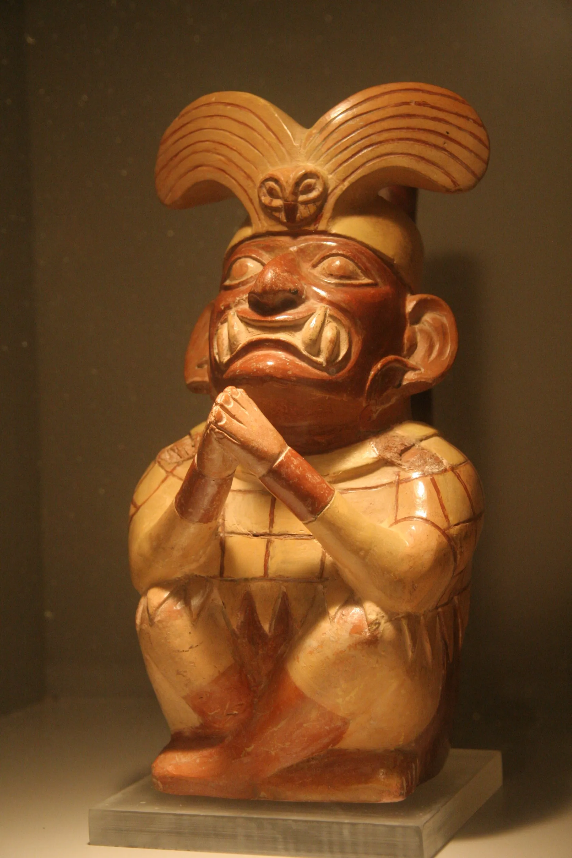
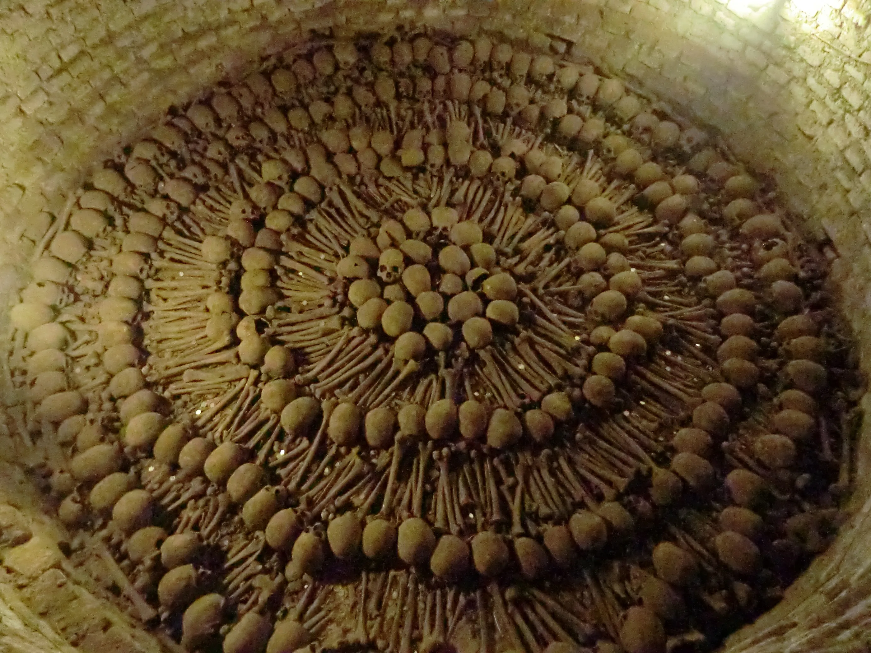
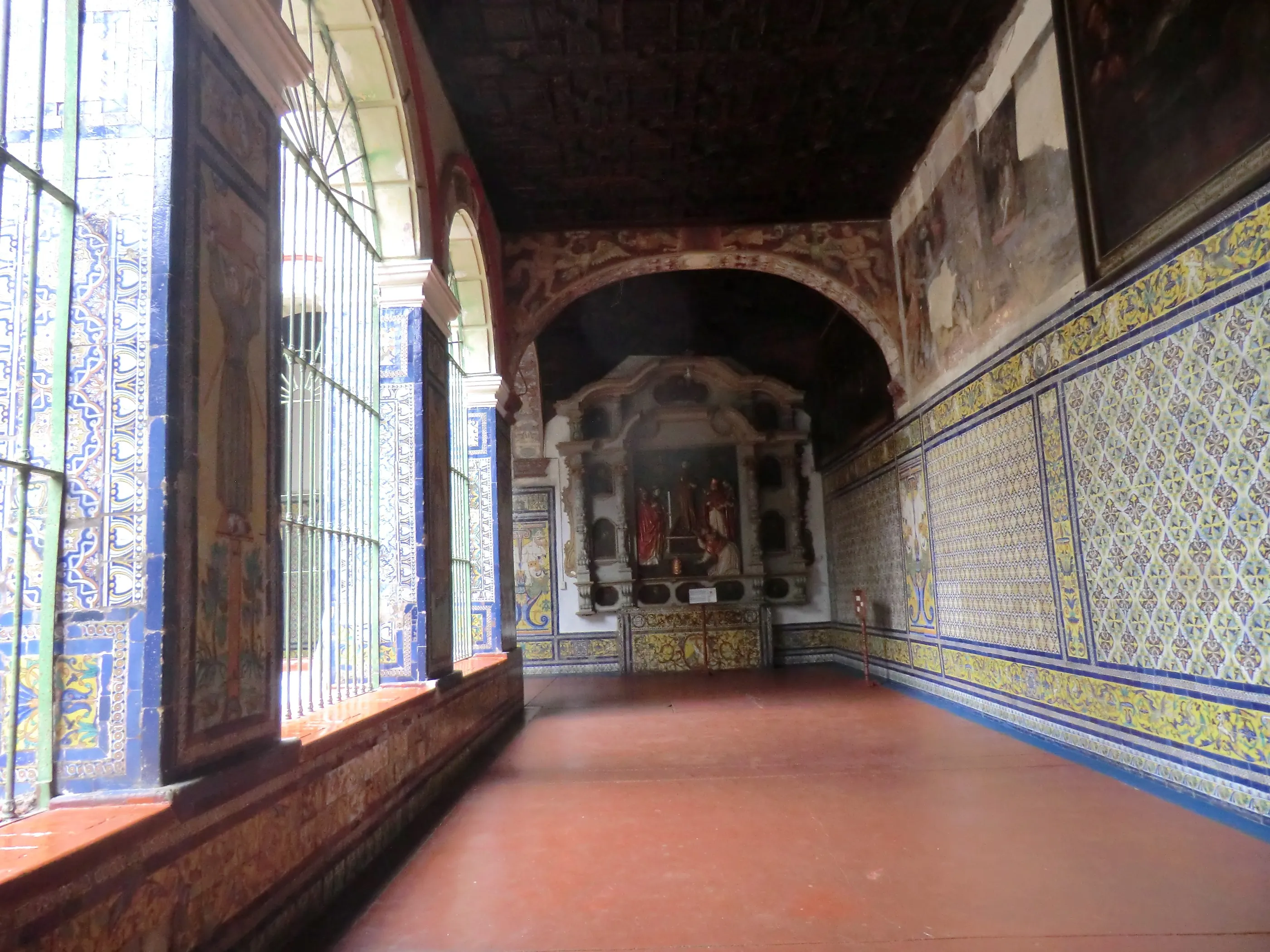
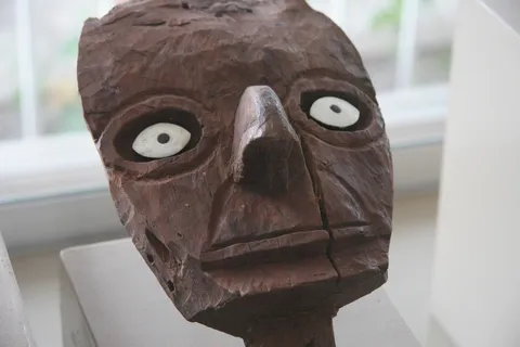
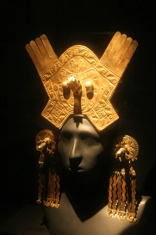
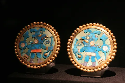
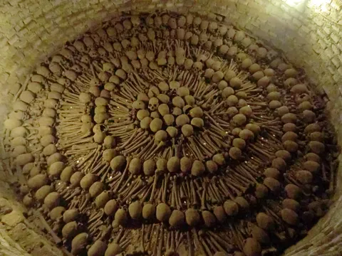
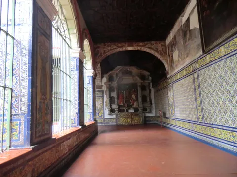
A ride across Lima by combi, the minibuses that race through the streets shouting out their destination, to the Museo Larco: a gold mine of ceramics from all over Peru and across the ages, and dazzling Chimú and Moche ornaments. In the evening, beef-heart anticuchos at the best place in town. To finish, the convent of San Francisco, its library, its azulejos and its catacombs where thousands of bones form perfect circles.

Arrival
End of the journey
Summer 2014 · 6,640 km · 29 stops
Galleries of the countries crossed