- days
- 22
- km
- 5,250
- countries
- 5Namibia · Botswana · Zimbabwe · Zambia · South Africa
- photos
- 173
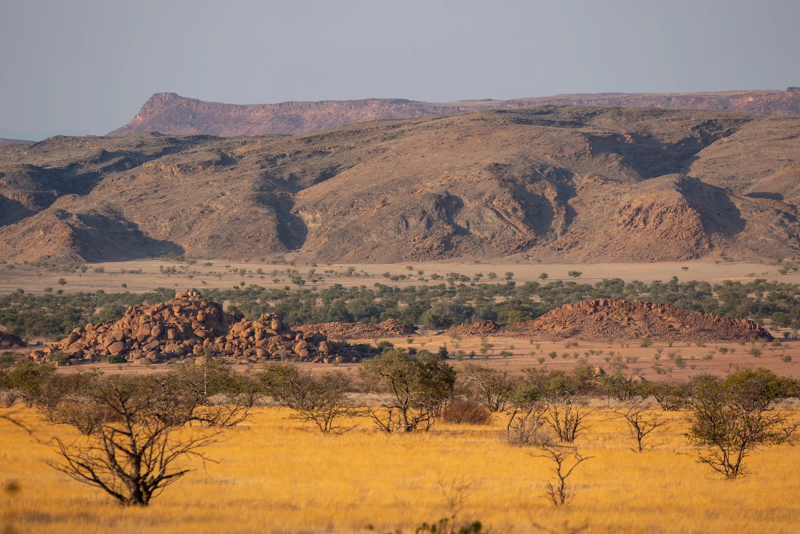
Three weeks on the road in a 4×4 with a rooftop tent, from southern Namibia all the way to Victoria Falls, and back. Quiver-tree forests, the Fish River Canyon, the red dunes of the Namib, the Skeleton Coast, the desert elephants of Damaraland; then the Caprivi Strip and Bwabwata National Park, across Botswana, Zimbabwe and Zambia on either side of the Zambezi, before returning along the banks of the Chobe and heading back down to Etosha. Four countries, and a single road unrolling under enormous skies — then a stop in Johannesburg before flying home.
Two threads ran through the journey. On one side, the imprint of German colonial rule, still legible in the architecture of Lüderitz and Swakopmund, in the sand-filled houses of Kolmanskop — and in the darker memory of 1904–1908. On the other, a Namibia that wrote environmental protection into its Constitution and entrusted part of its wildlife to local communities: a true laboratory of ecotourism, extended across the borders by the great parks of the Chobe and the Zambezi.
Quiver Tree Forest, Keetmanshoop
Namibia
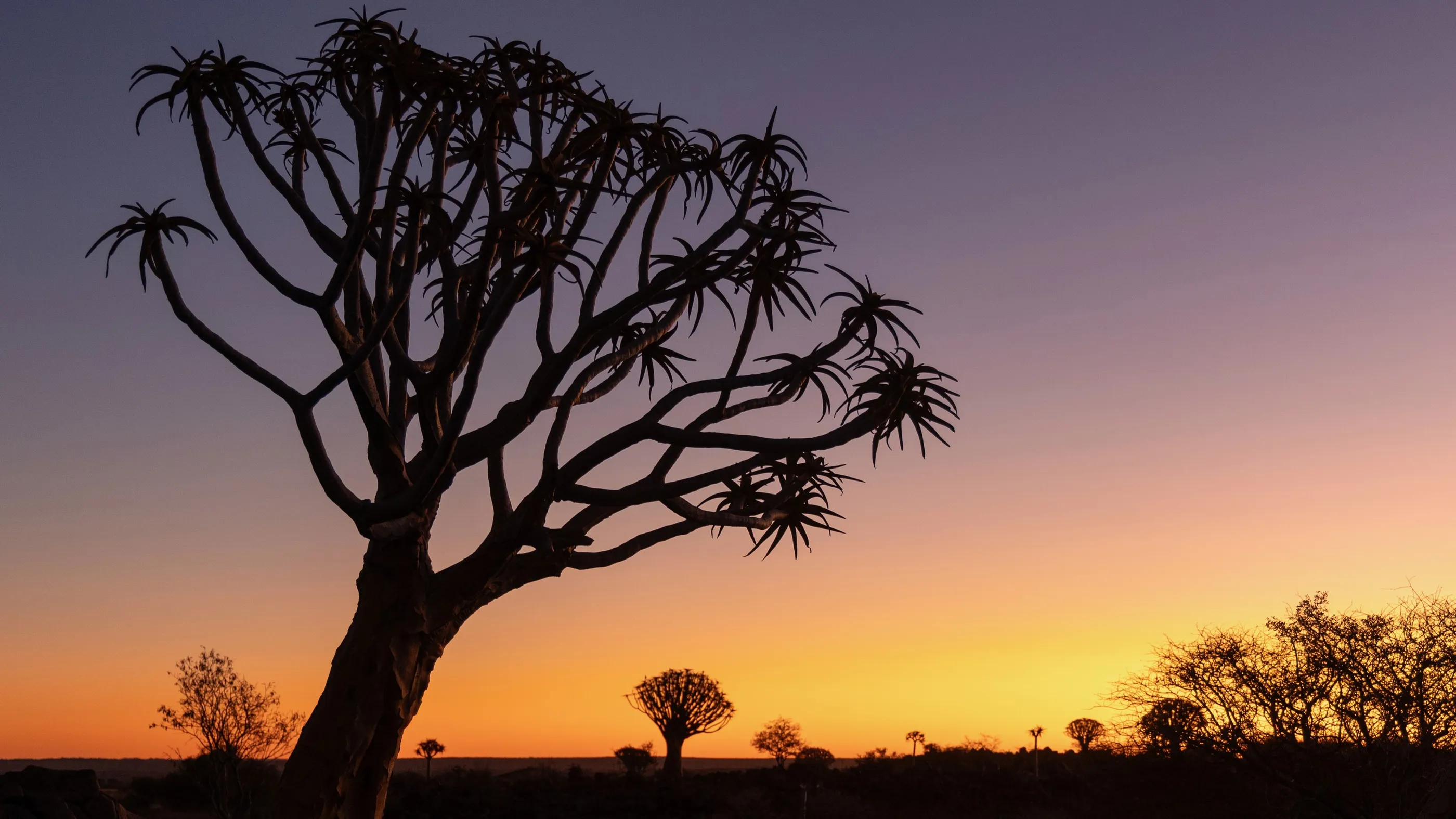
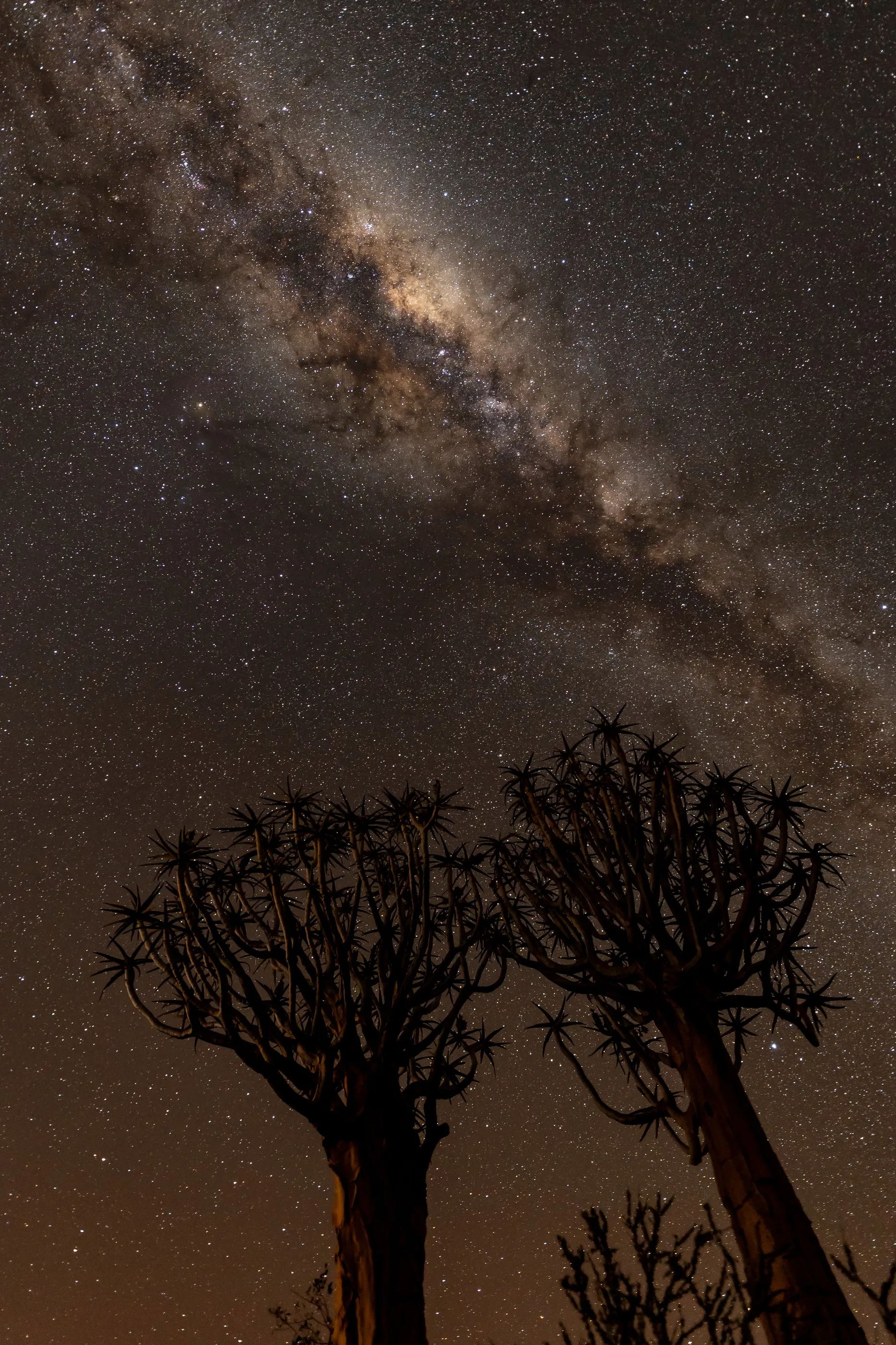
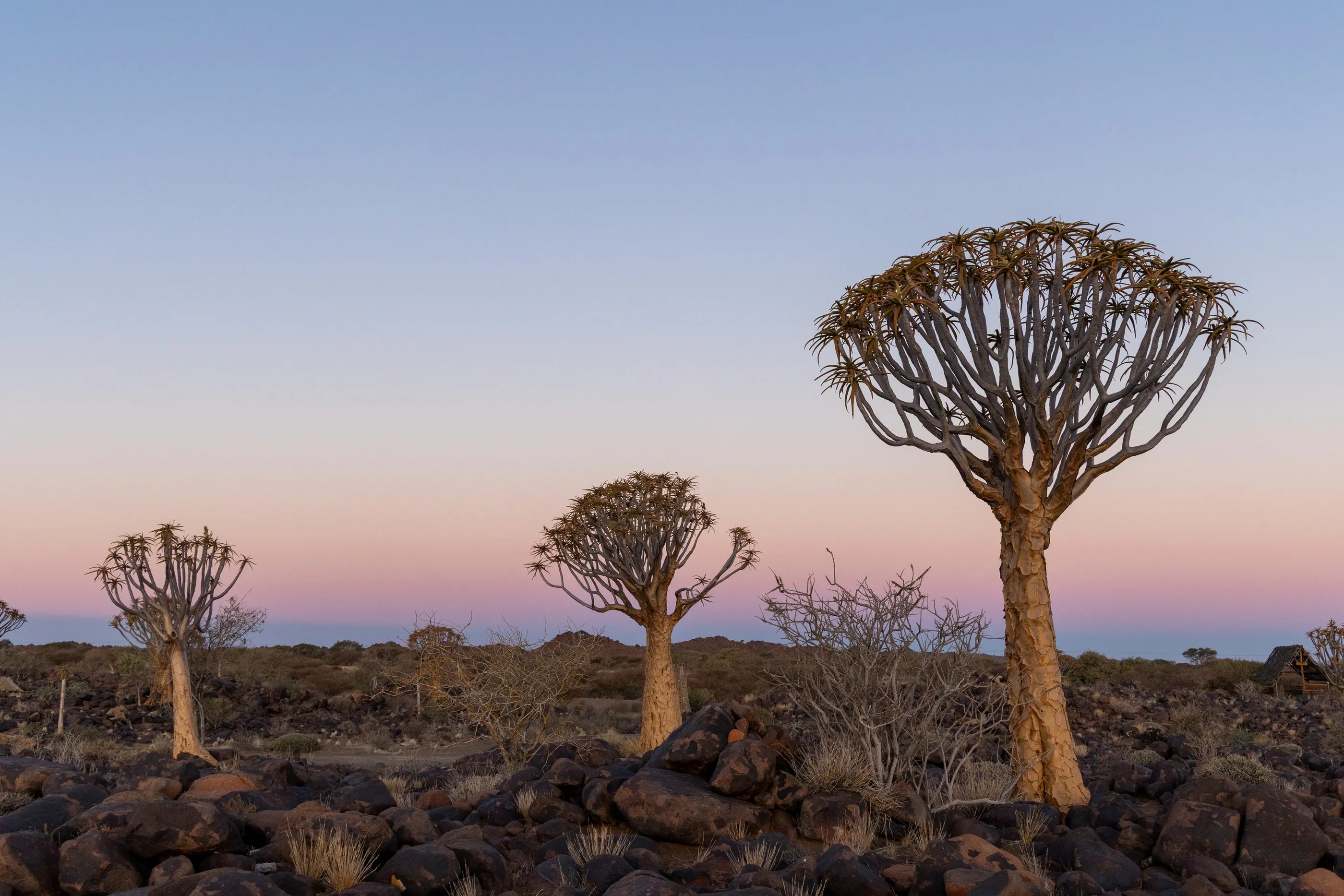
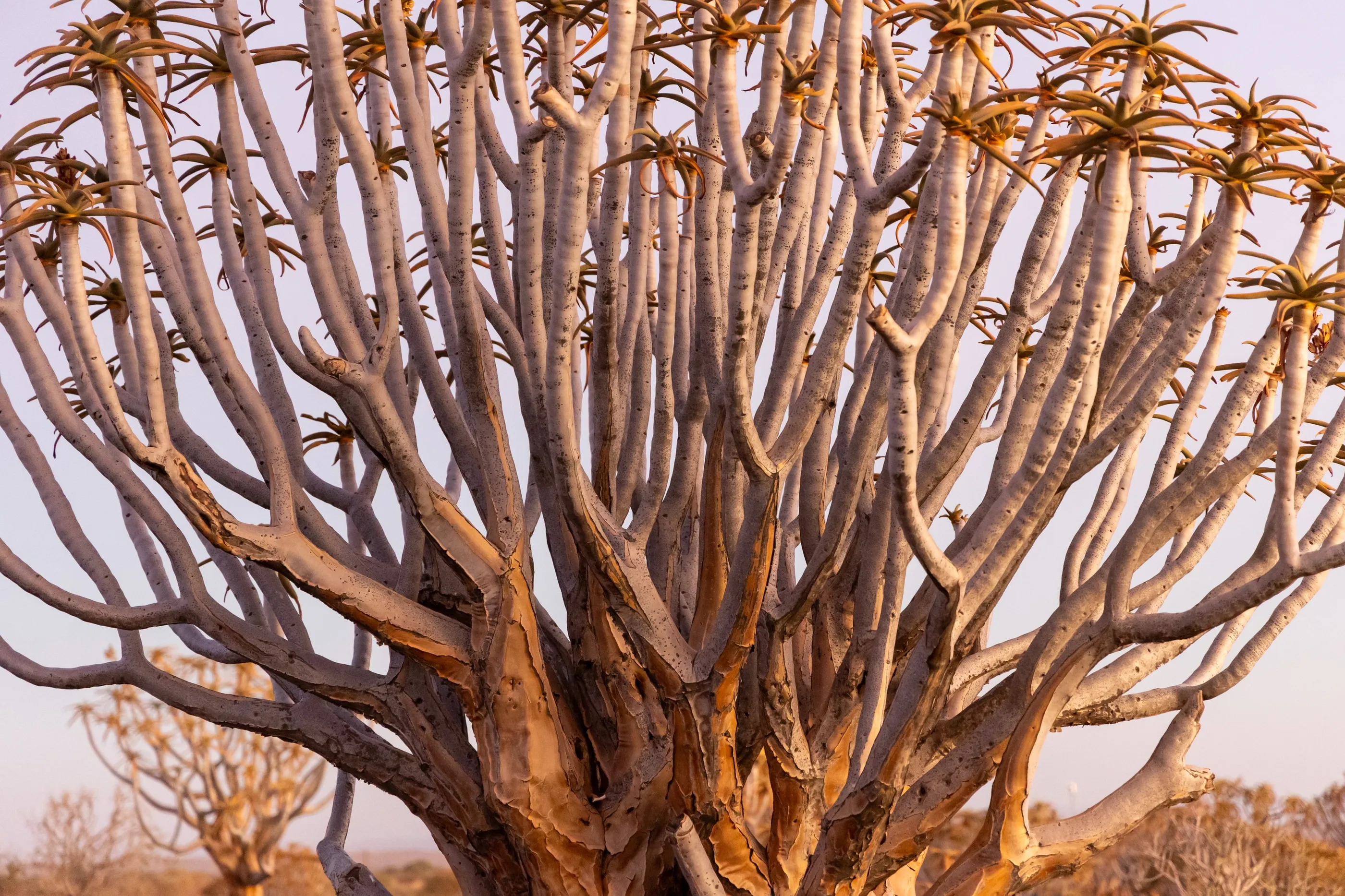
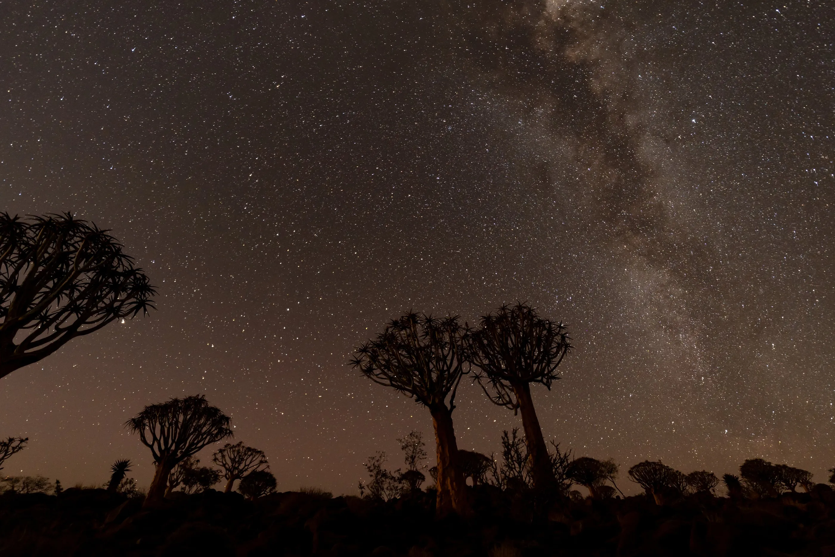
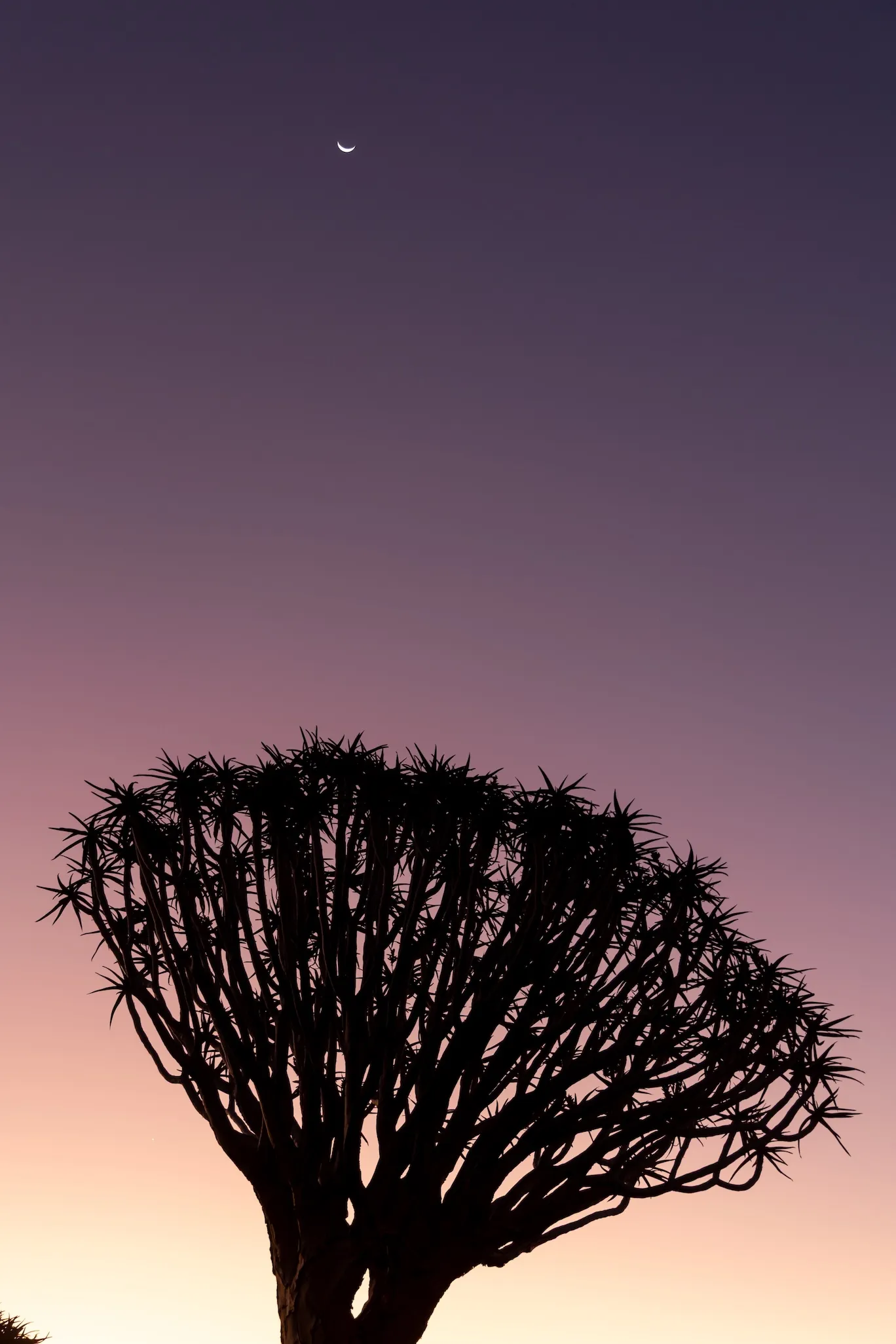
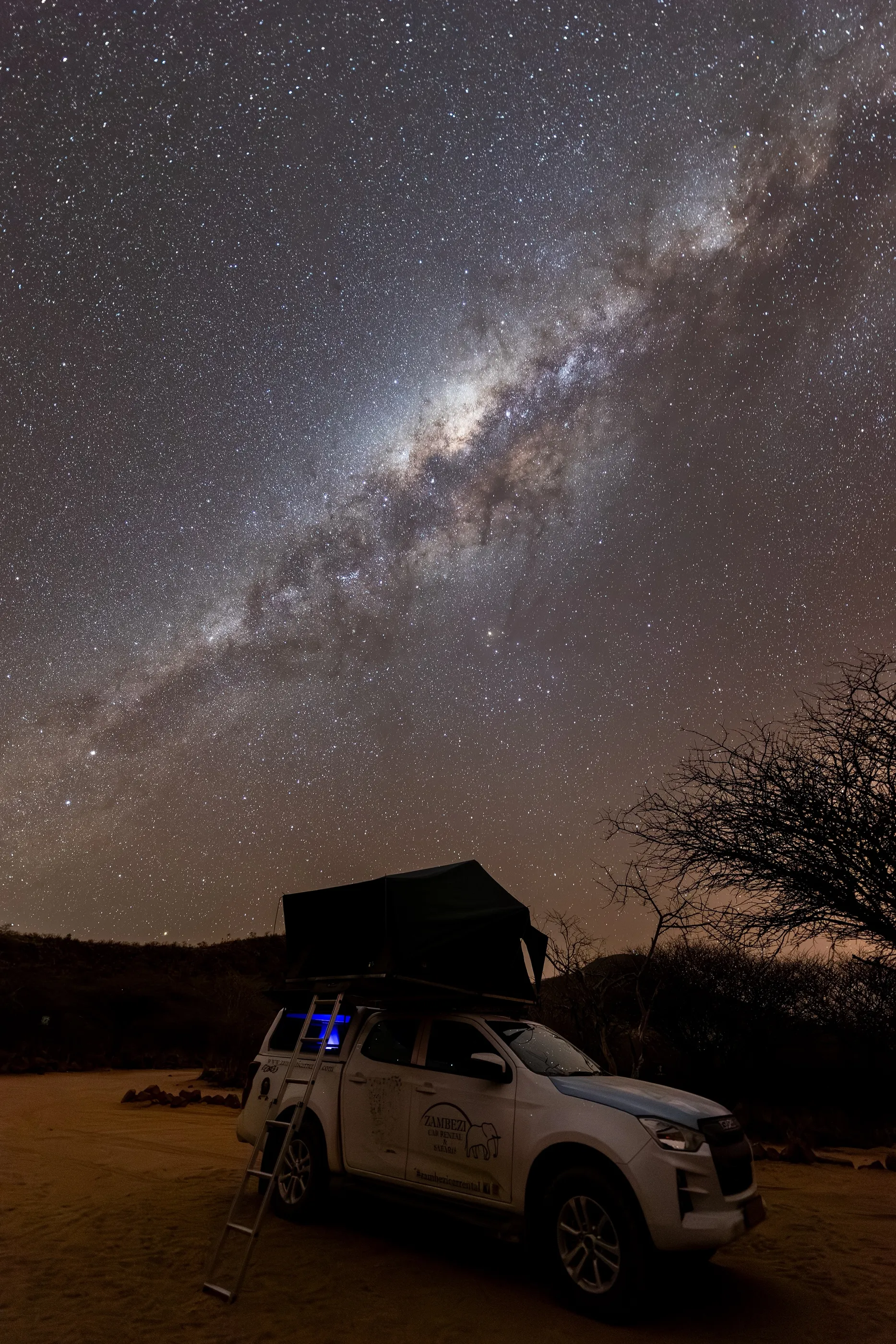
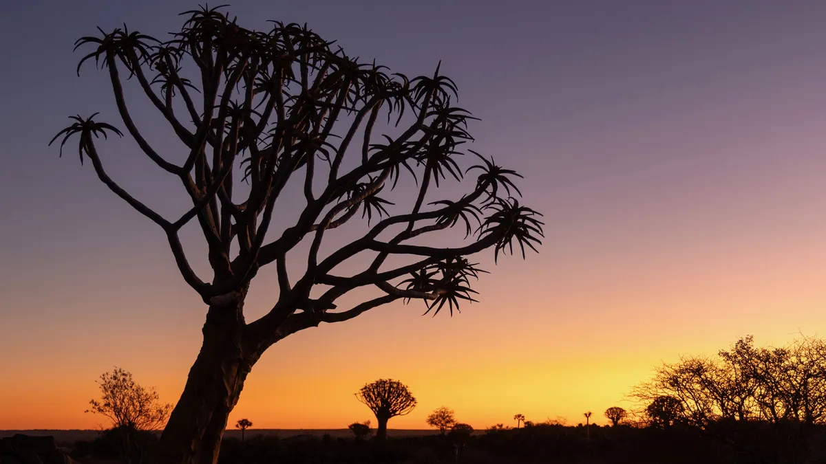
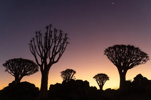
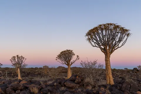
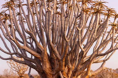
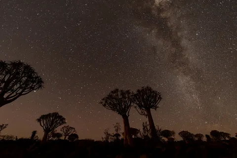
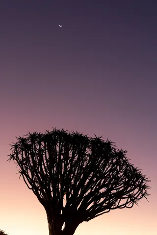
First evening, first shock: quiver trees — tree aloes whose branches the San once hollowed into quivers — stand out against a sky turning from blue to orange. After dark, the Milky Way rises above their silhouettes, a southern sky of a purity I had never seen before.

By road↗ 138 km
Fish River Canyon
Namibia
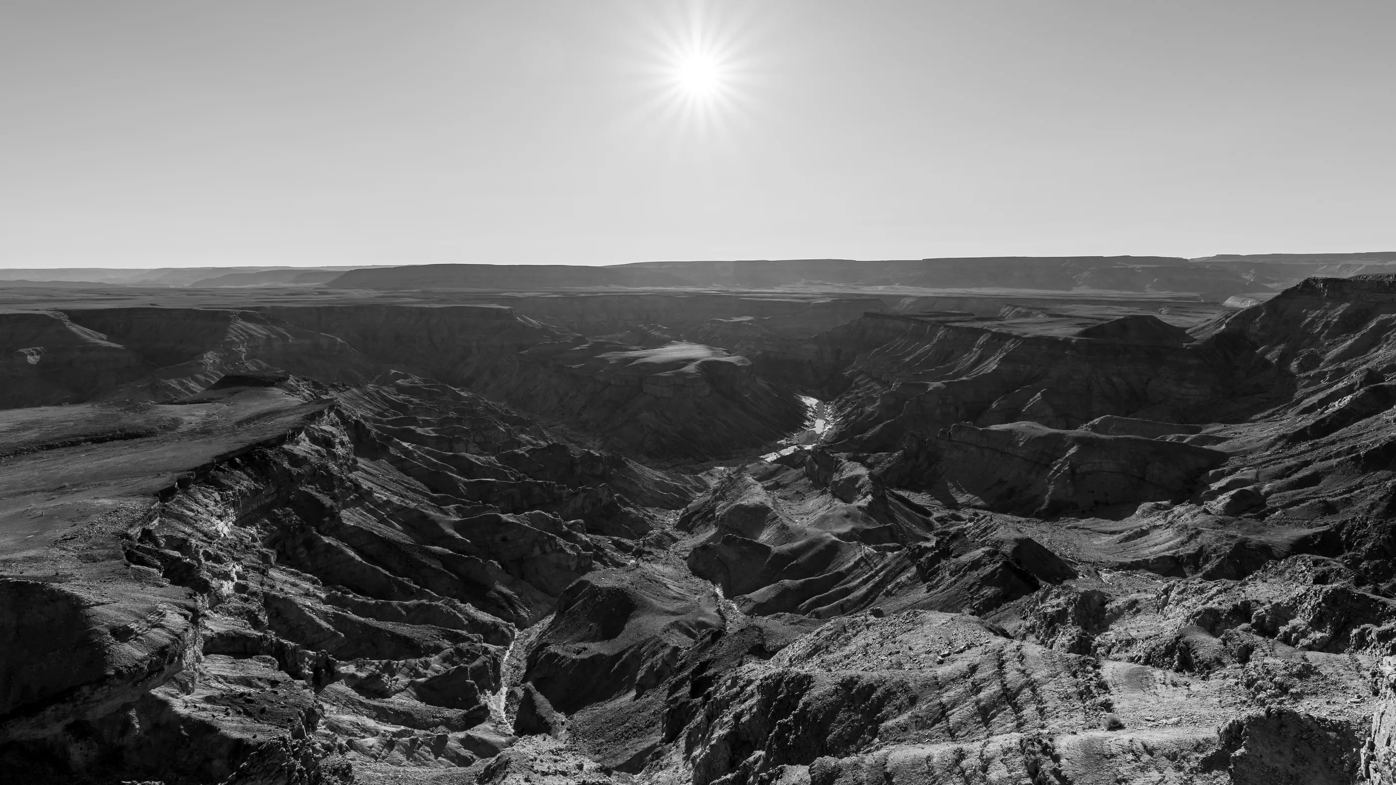
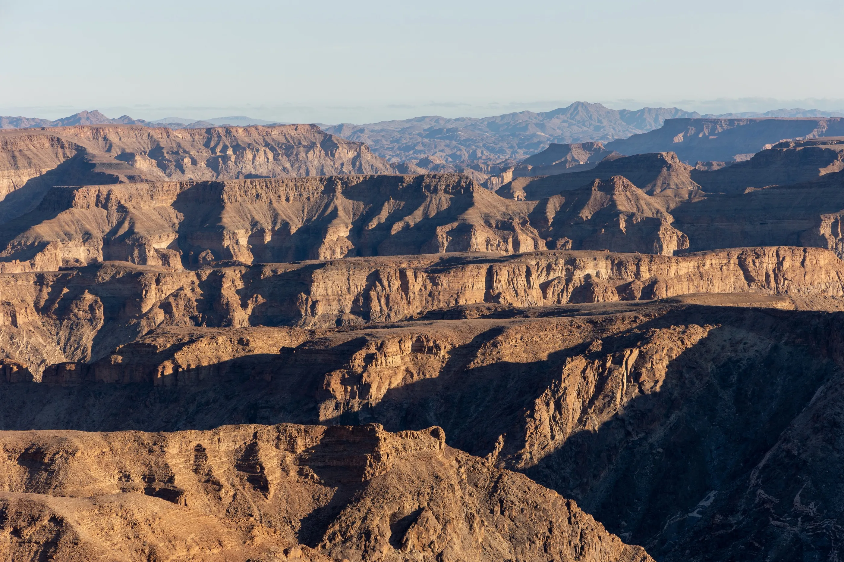
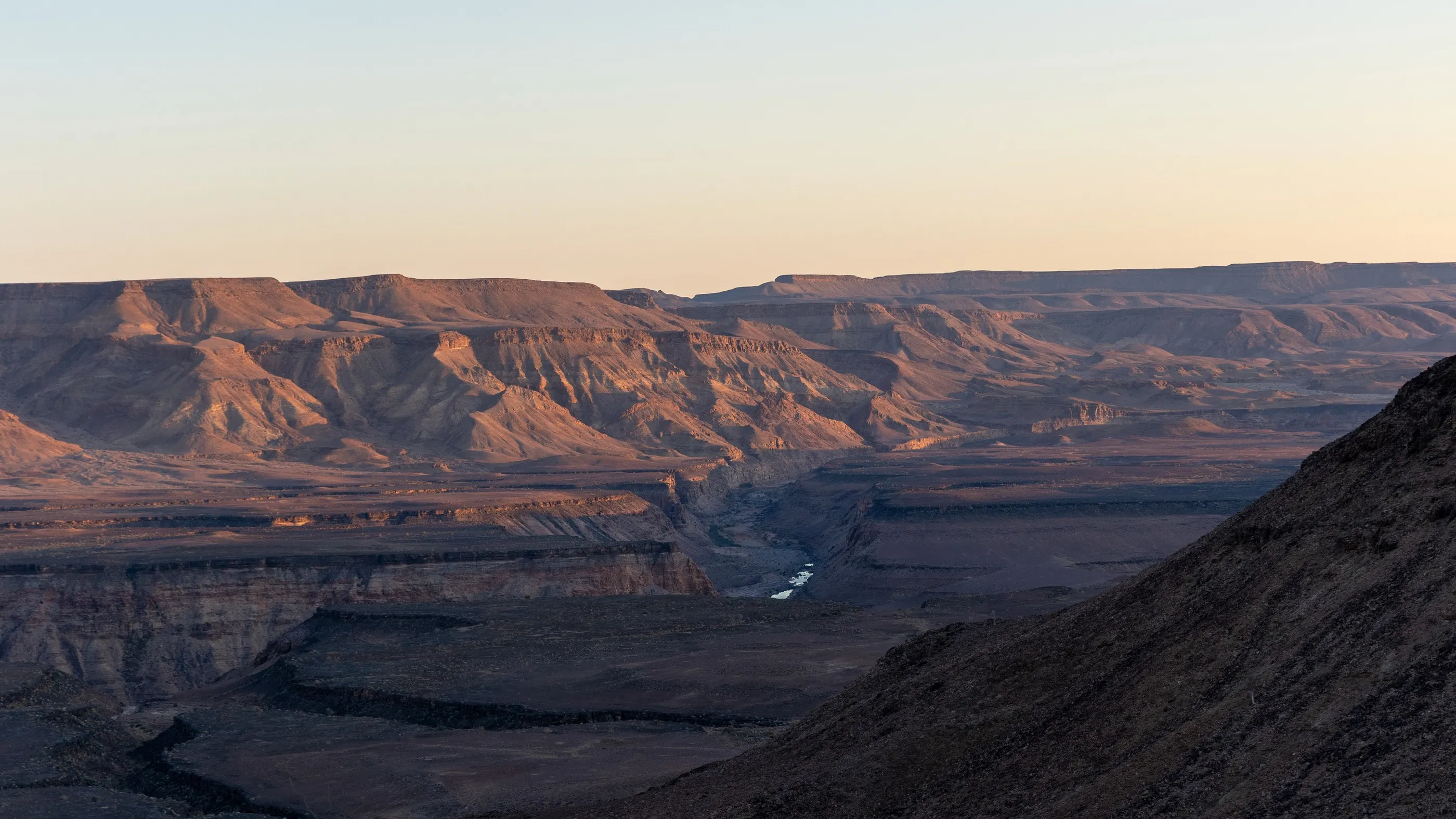
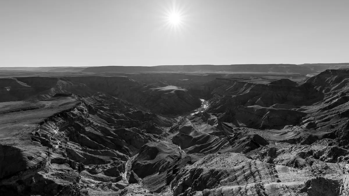
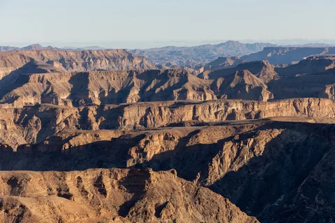
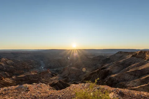
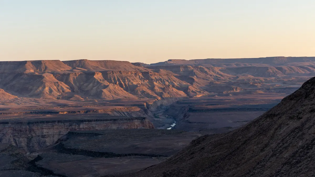
Long straight roads, table mountains, then the ground splits open: one of the largest canyons in the world, the river winding more than five hundred metres below. We slept on the plateau, the tent unfolded on the roof of the 4×4, to watch the sun set into the gorge and, in the morning, set the cliffs ablaze all at once.
By road↗ 189 km
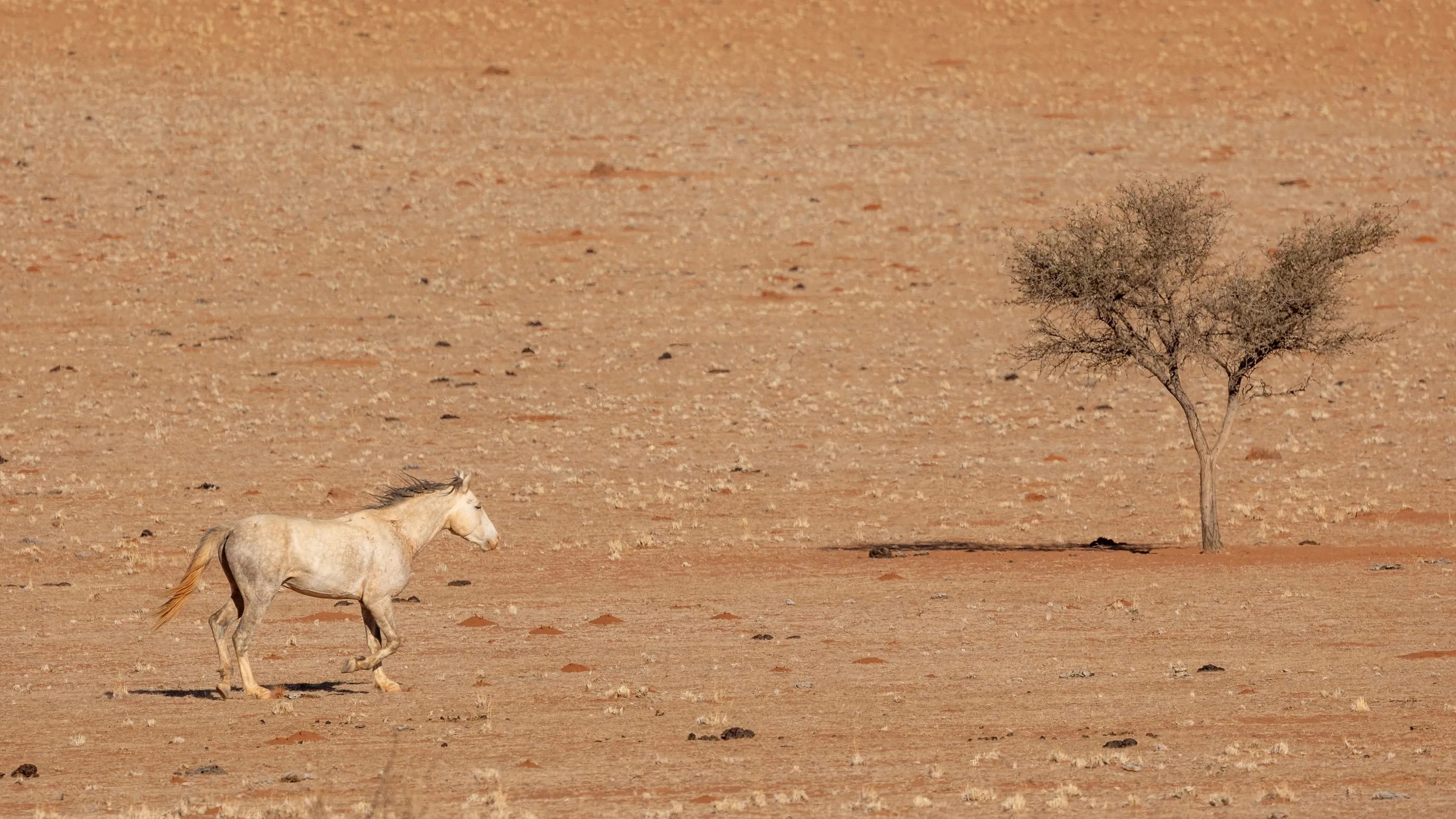
Aus and the Namib wild horses
Namibia
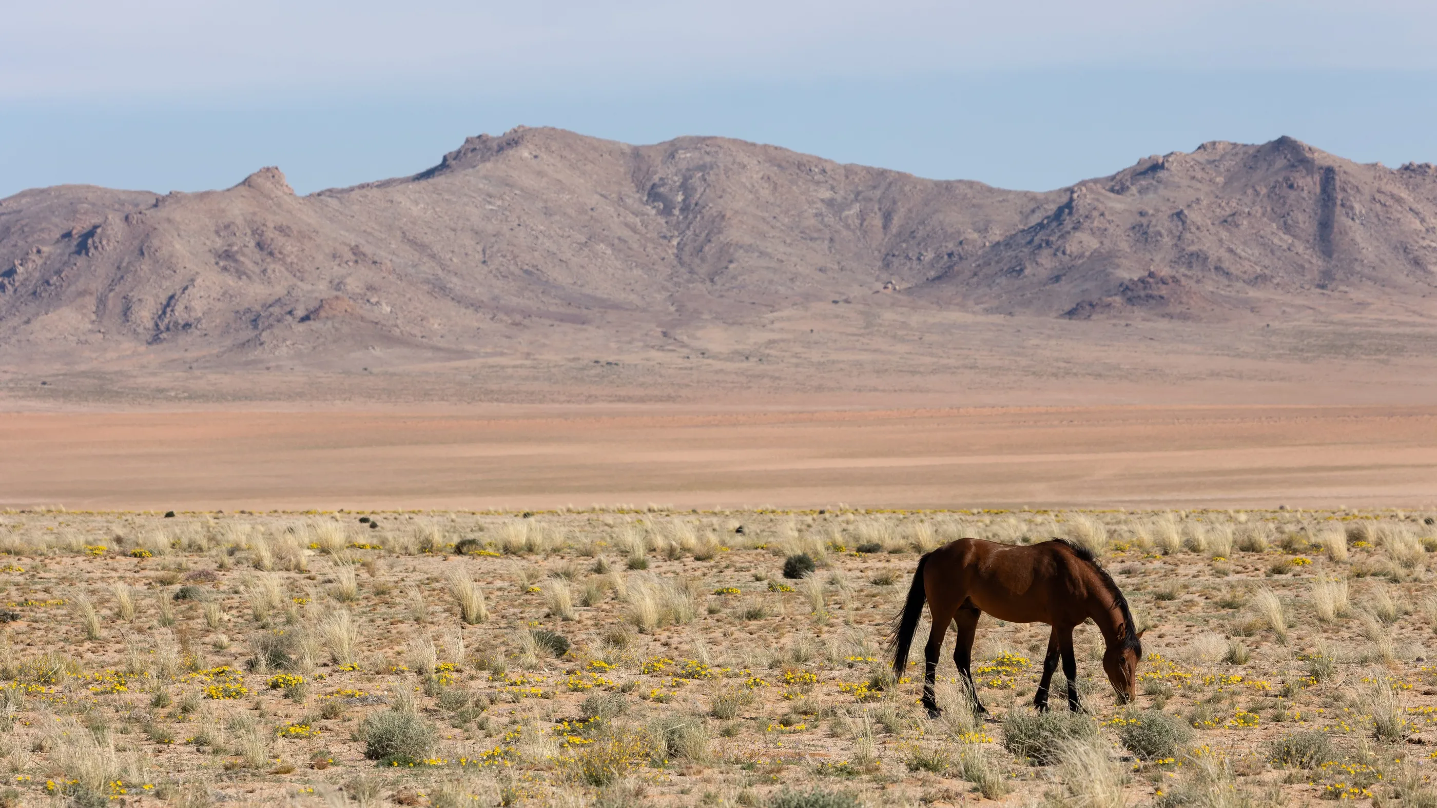
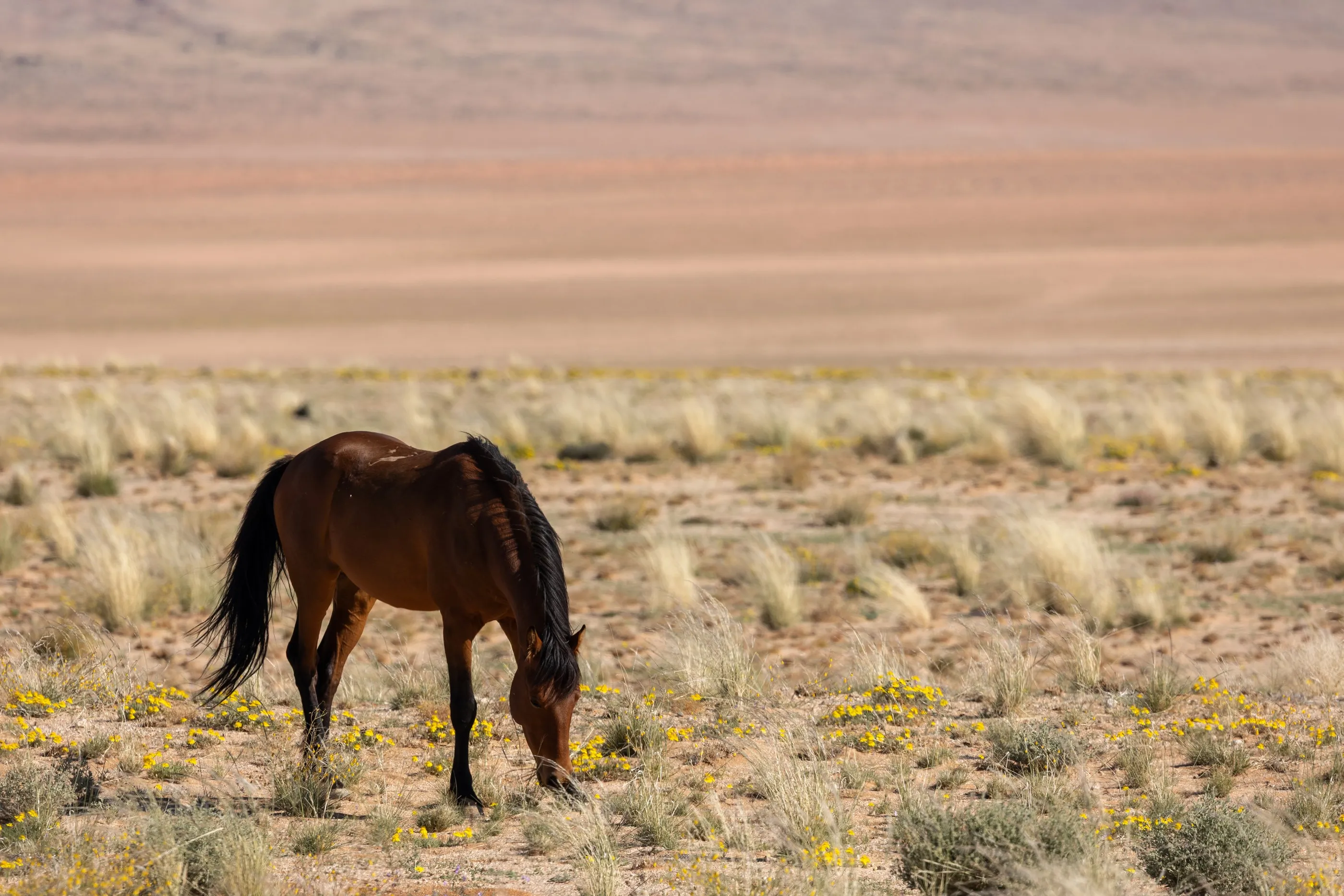
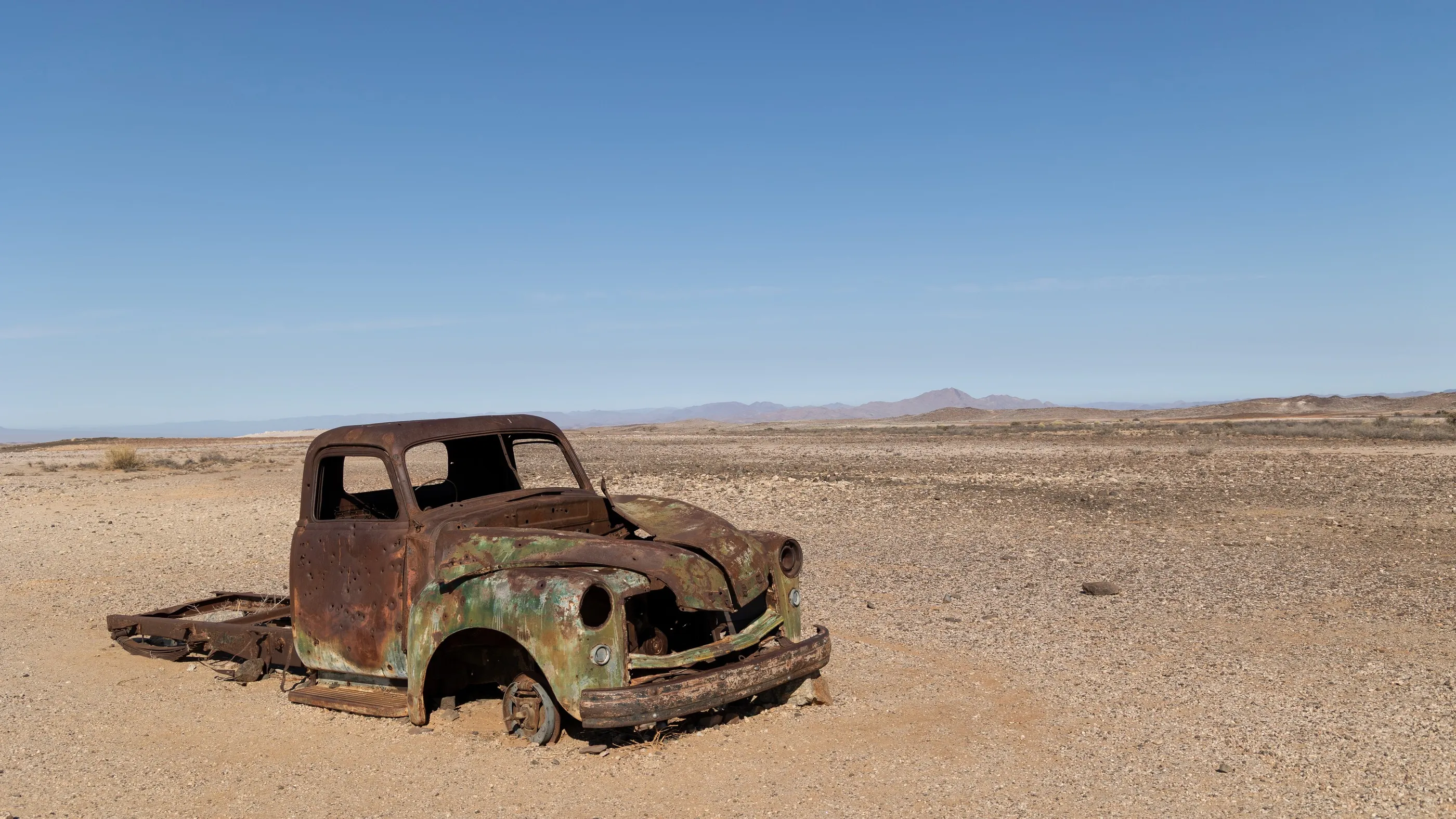
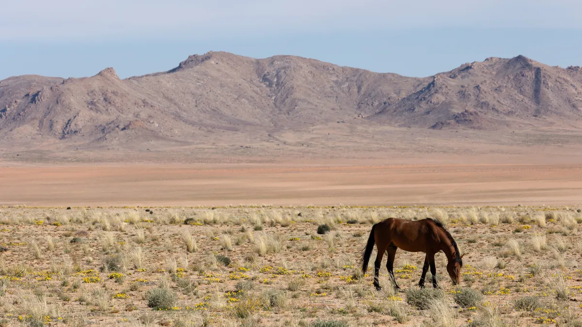
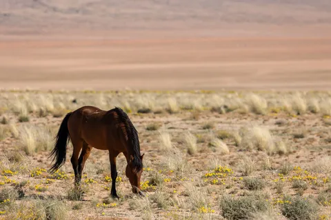
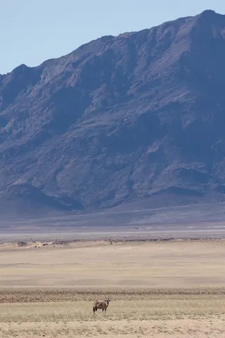
Heading west, the carcass of a pick-up rusts by the side of the track. On the Garub plain near Aus live wild horses whose origin is still debated — mounts left behind by the German army or South African troops during the First World War. They graze the sparse grass at the foot of the mountains, alongside oryx.

By road↗ 90 km
Lüderitz
Namibia
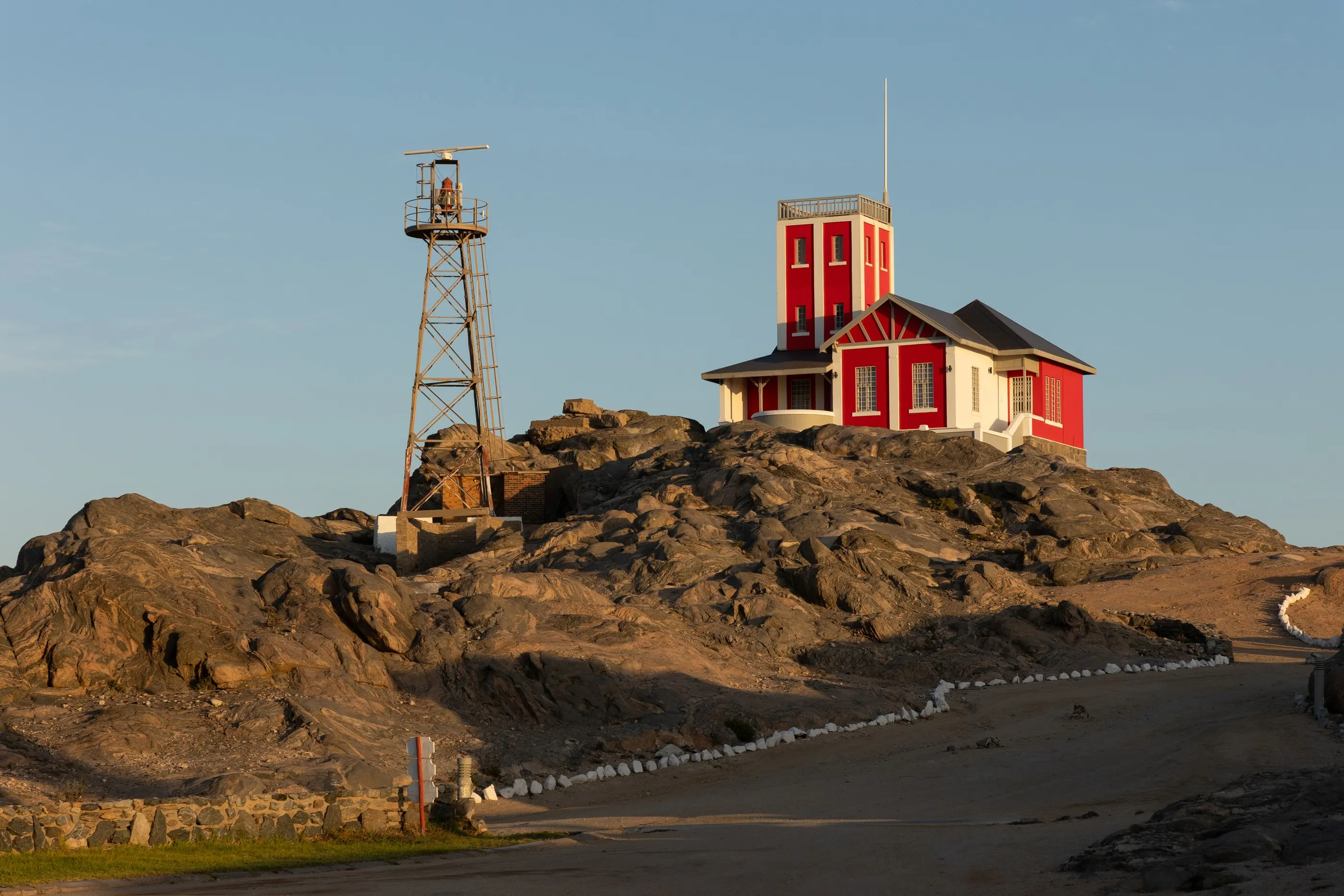
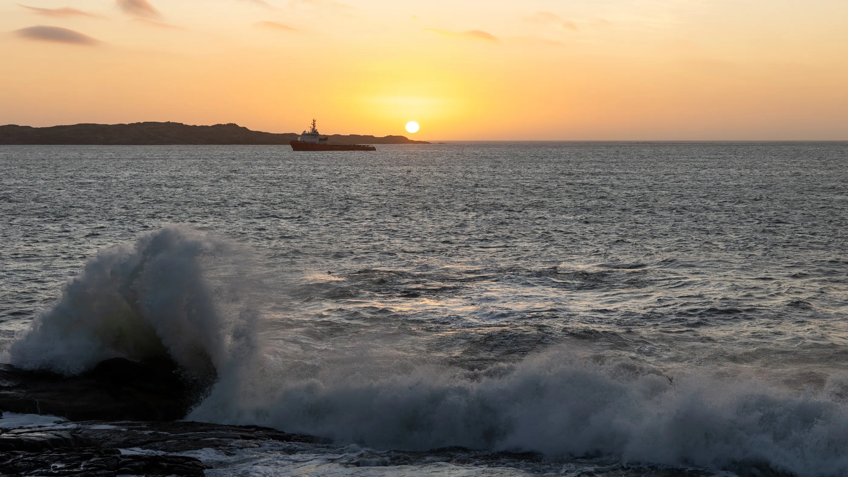
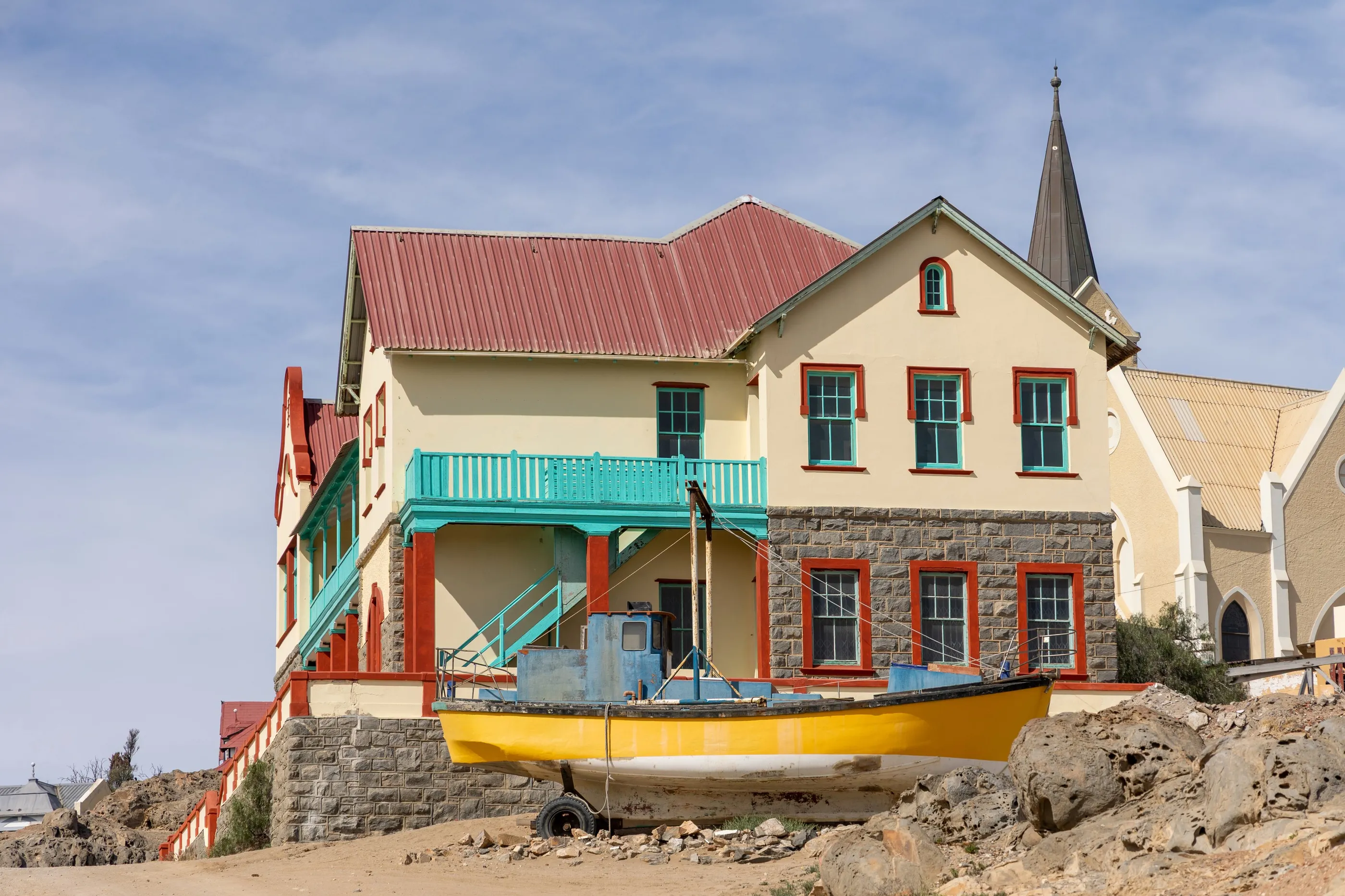
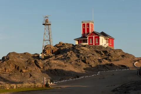
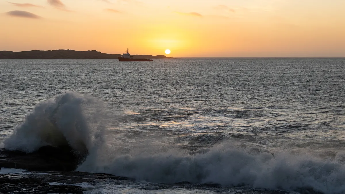
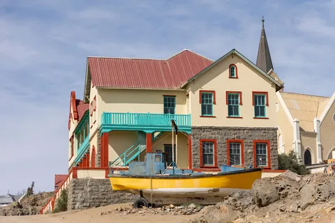
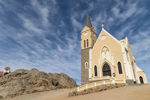
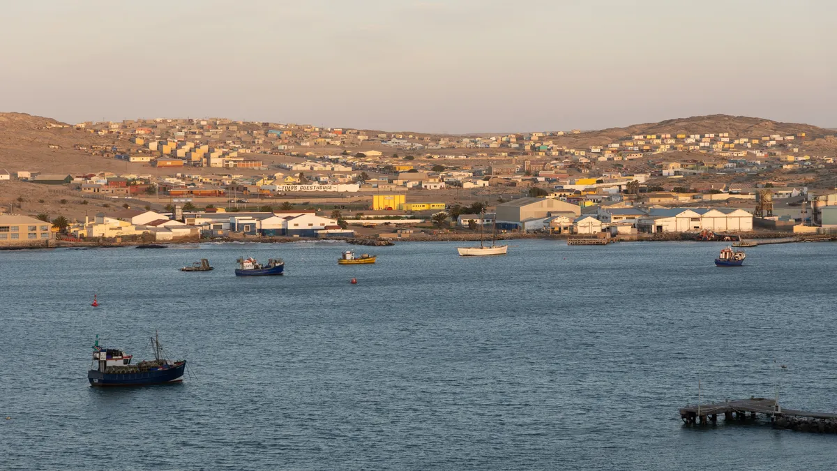
Lüderitz, the first German outpost in South West Africa, faces the Atlantic with its brightly painted Art Nouveau houses and the Felsenkirche perched on its rock. At the end of the bay, the Shark Island lighthouse overlooks the site of the concentration camp where, between 1905 and 1907, so many Nama and Herero died. In the evening, a tugboat passes in front of the setting sun.
By road↗ 9 km
Kolmanskop
Namibia
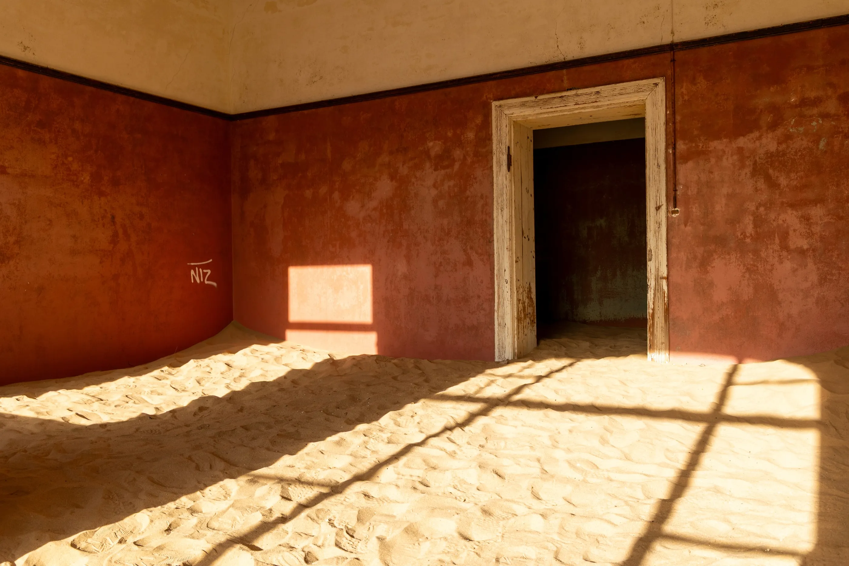
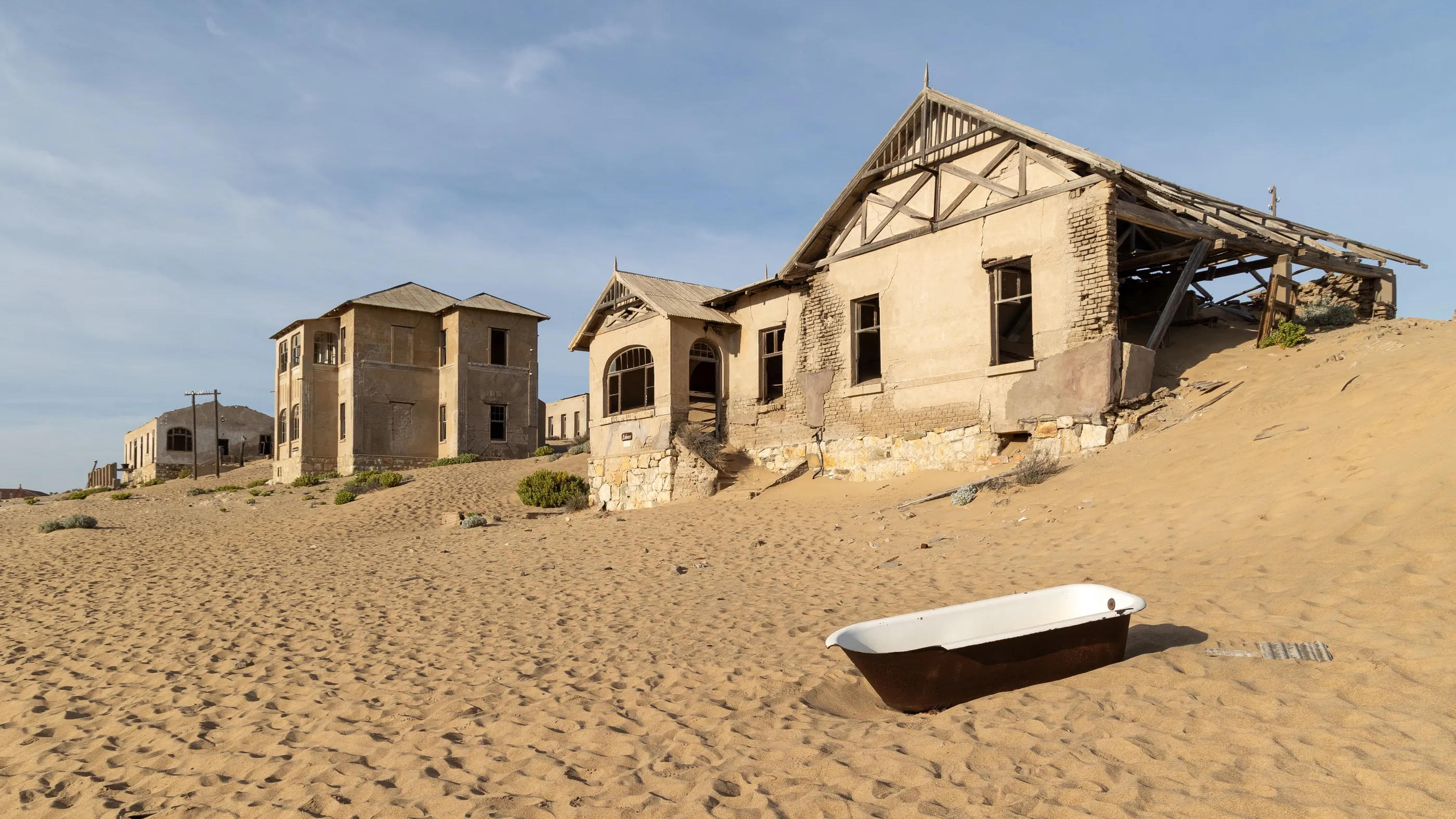
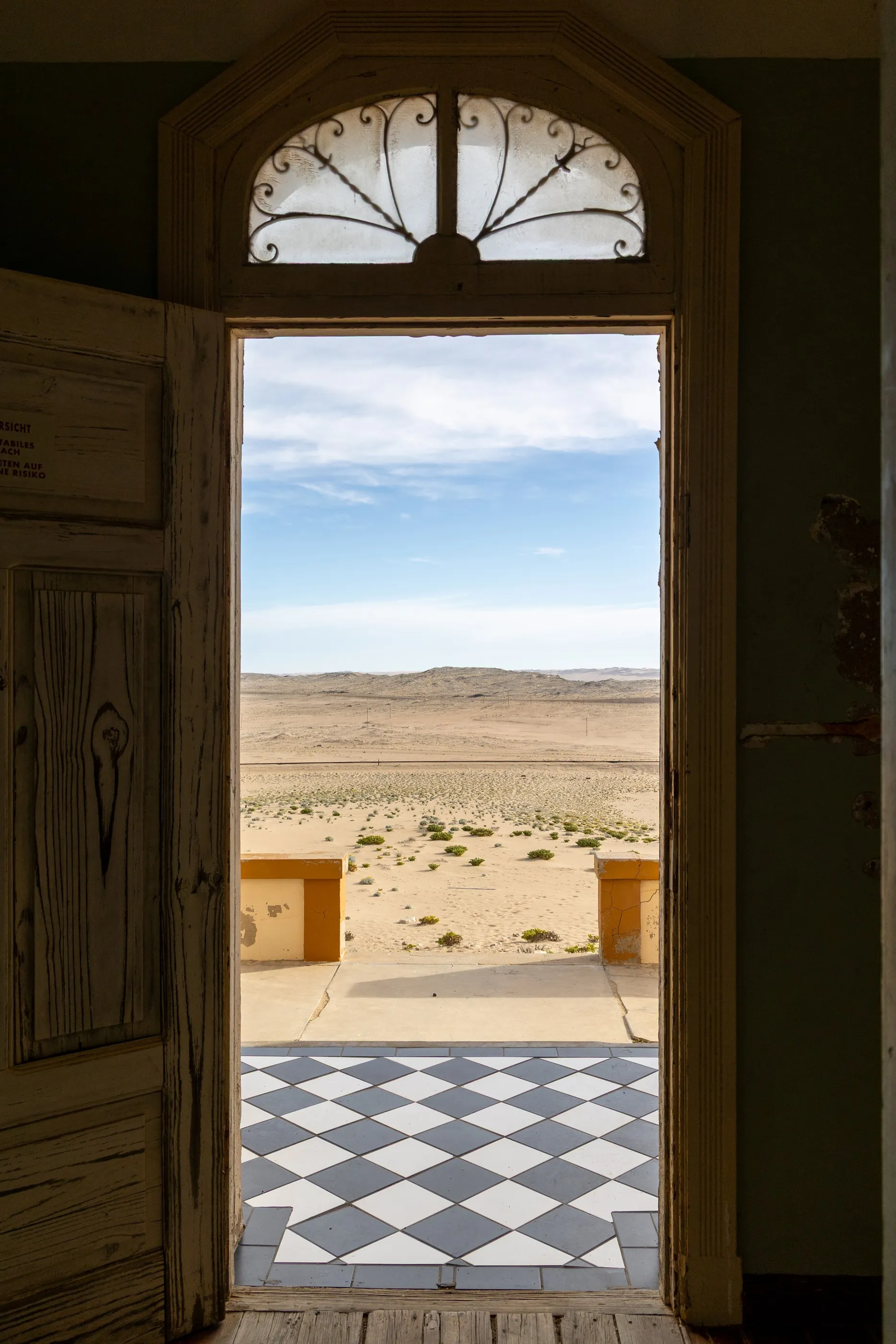
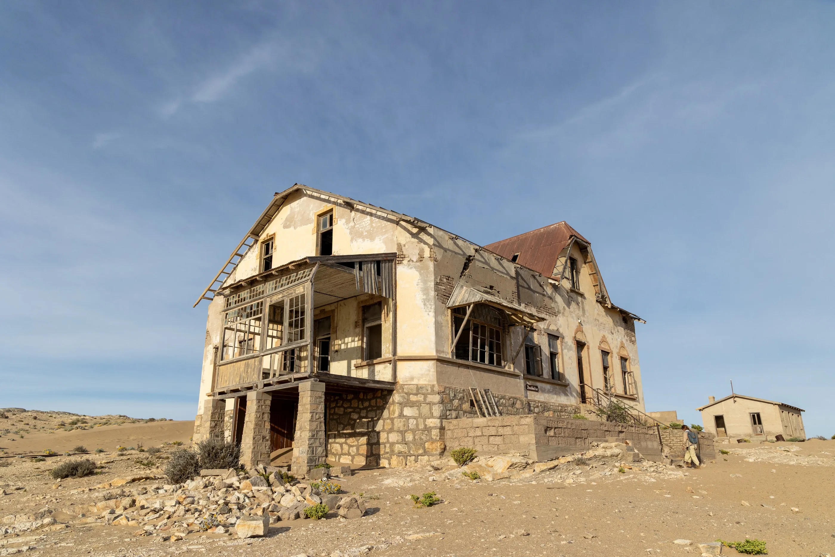
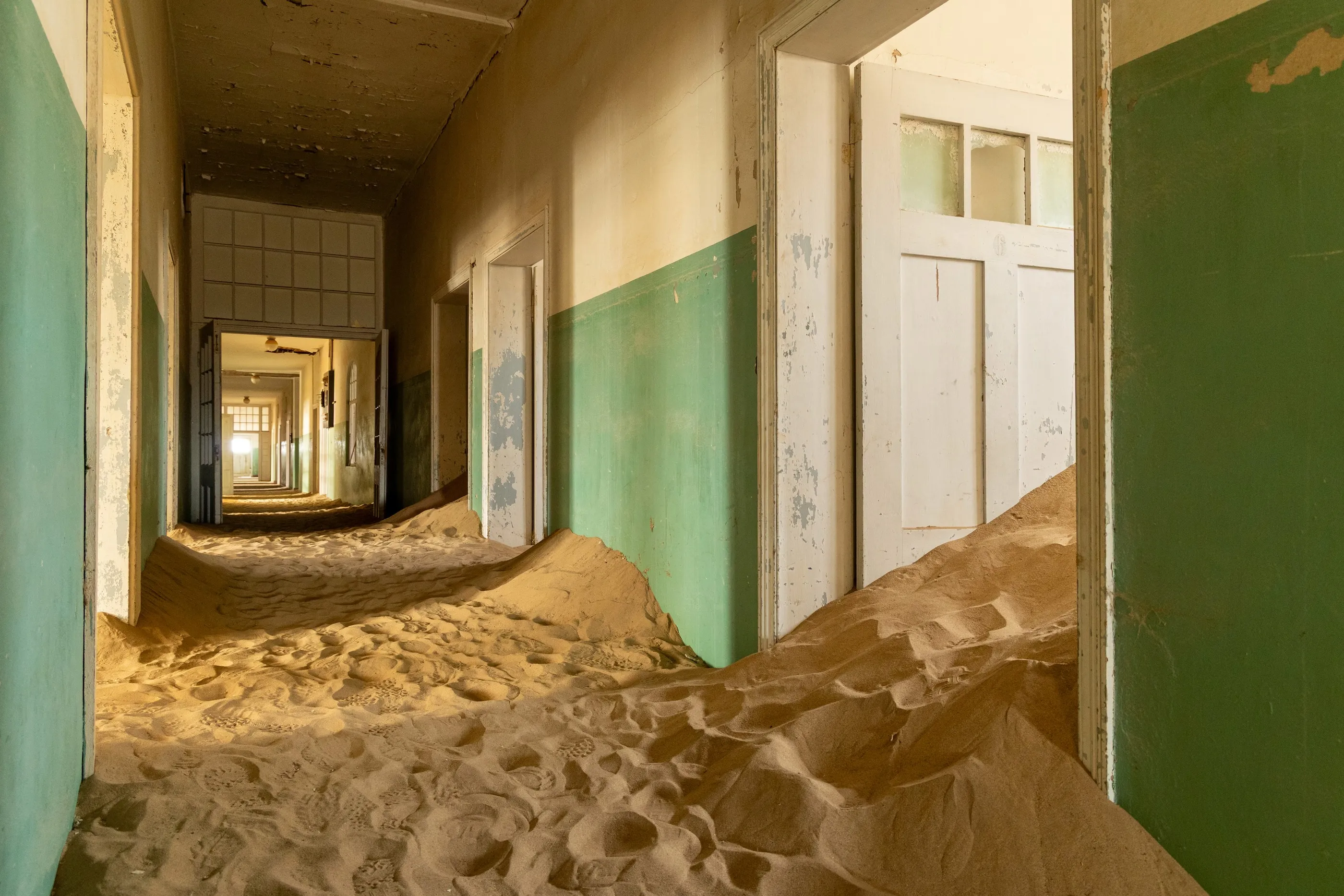
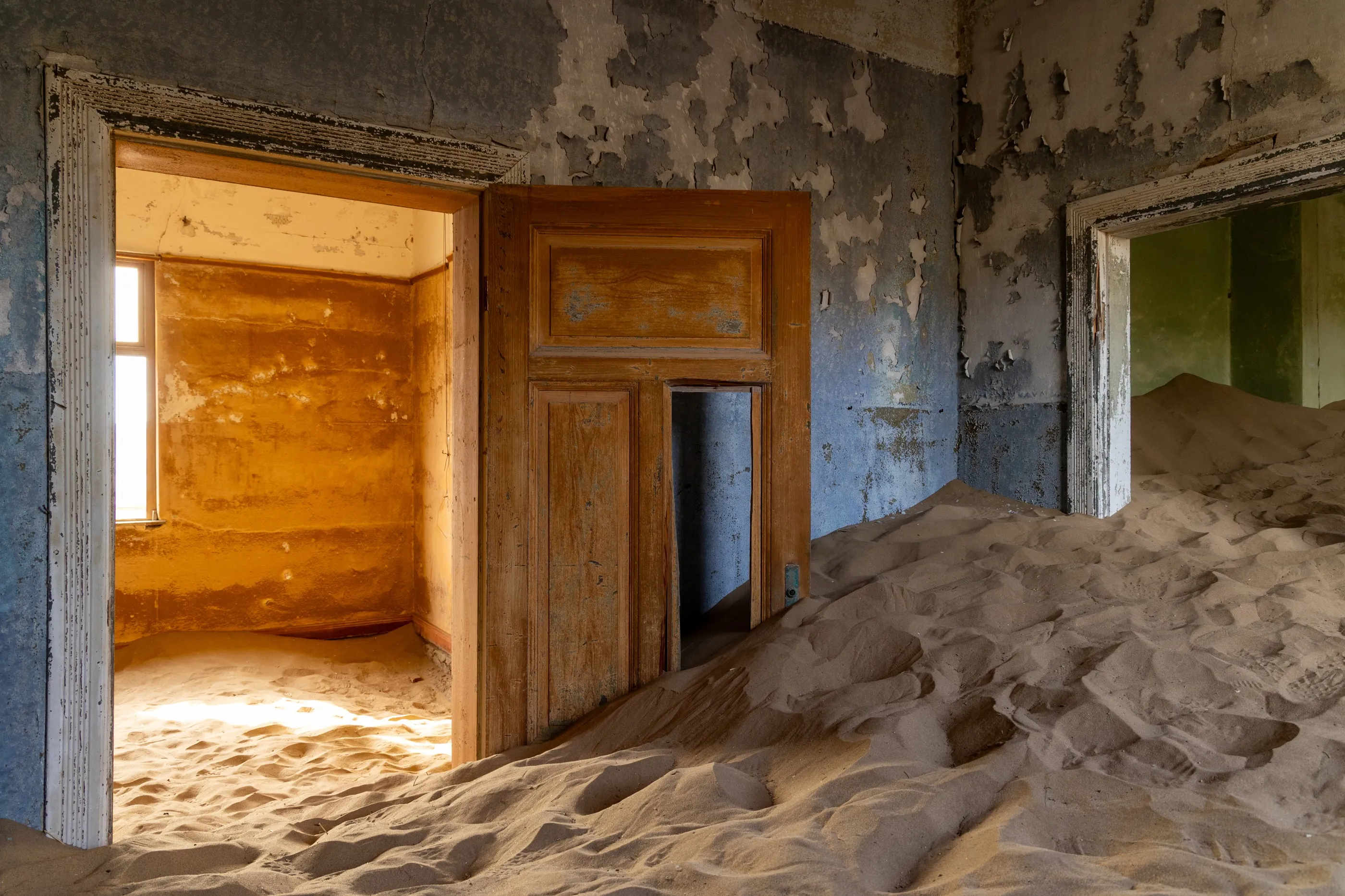
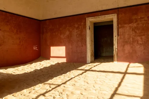
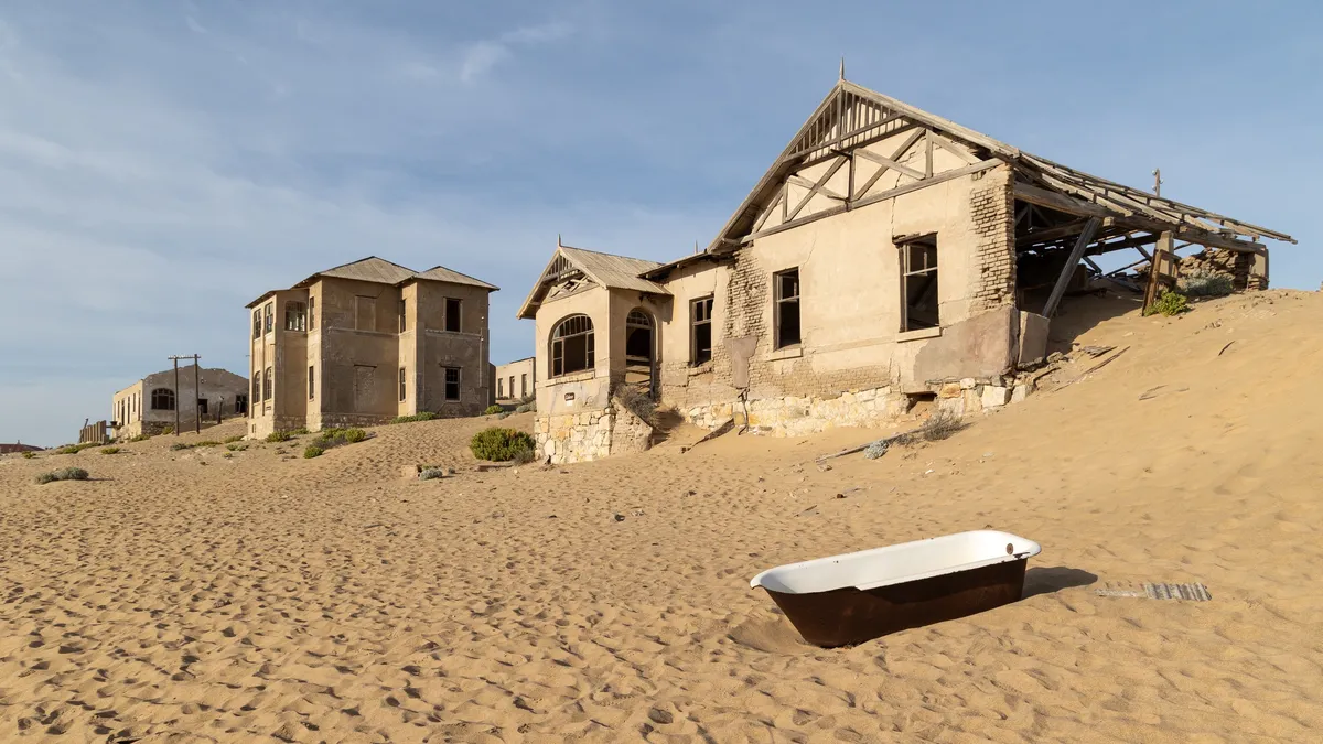
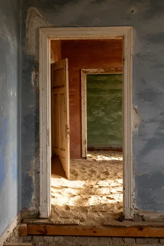
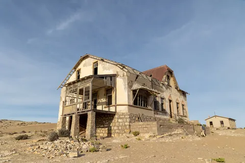
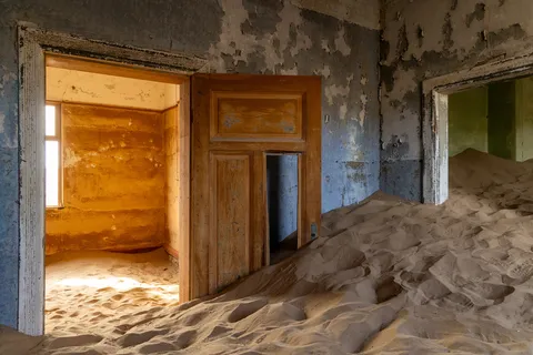
At dawn, Kolmanskop. A town born of diamonds in 1908, opulent, then abandoned in the middle of the century, and now reclaimed by the desert room by room. Sand pours through the doorways, rises in waves against blue and red walls, half fills a bathtub; the low light draws, on these indoor dunes, windows that no longer open onto anything.



By road↗ 141 km
On the edge of the NamibRand
Namibia
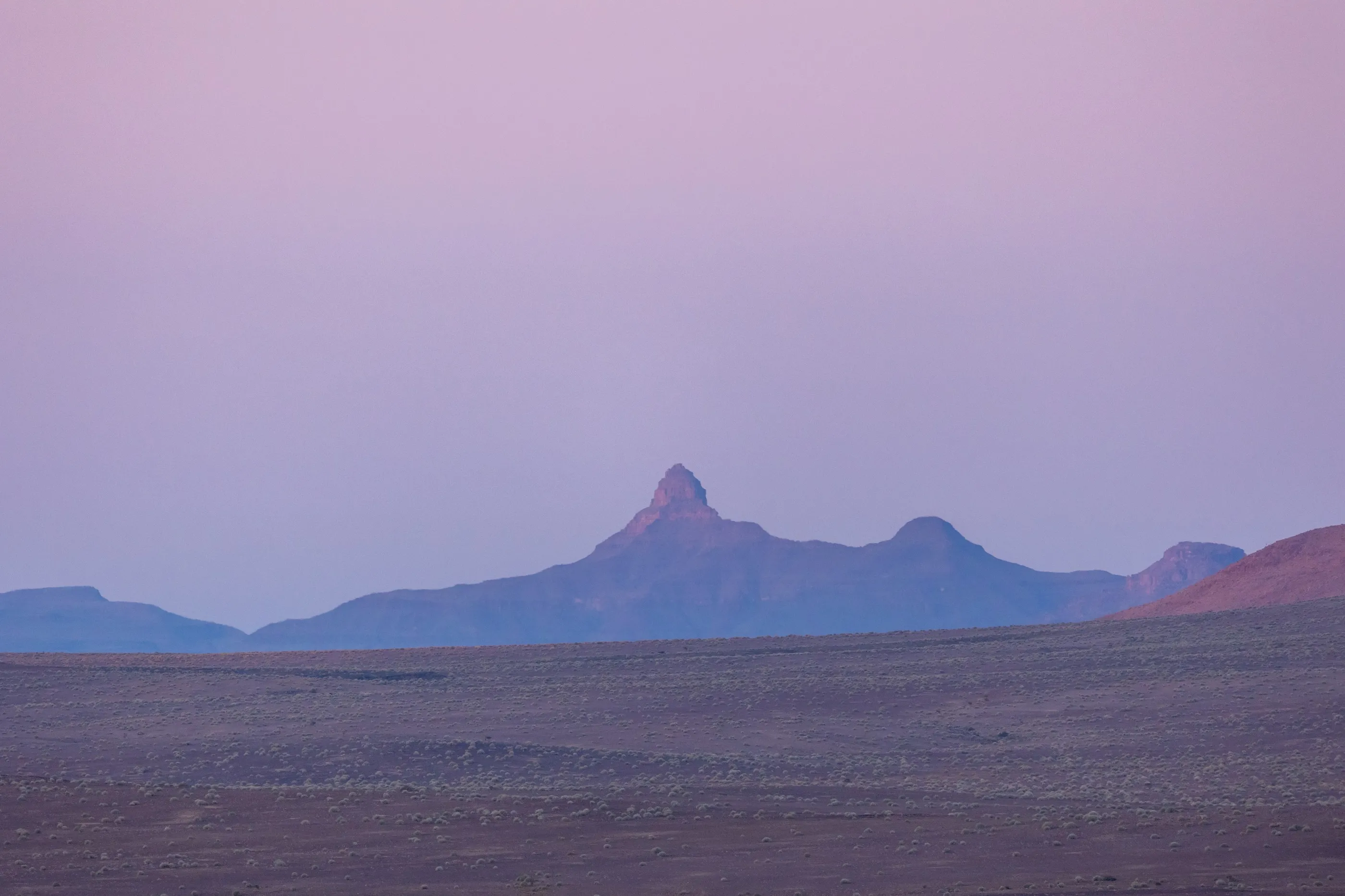
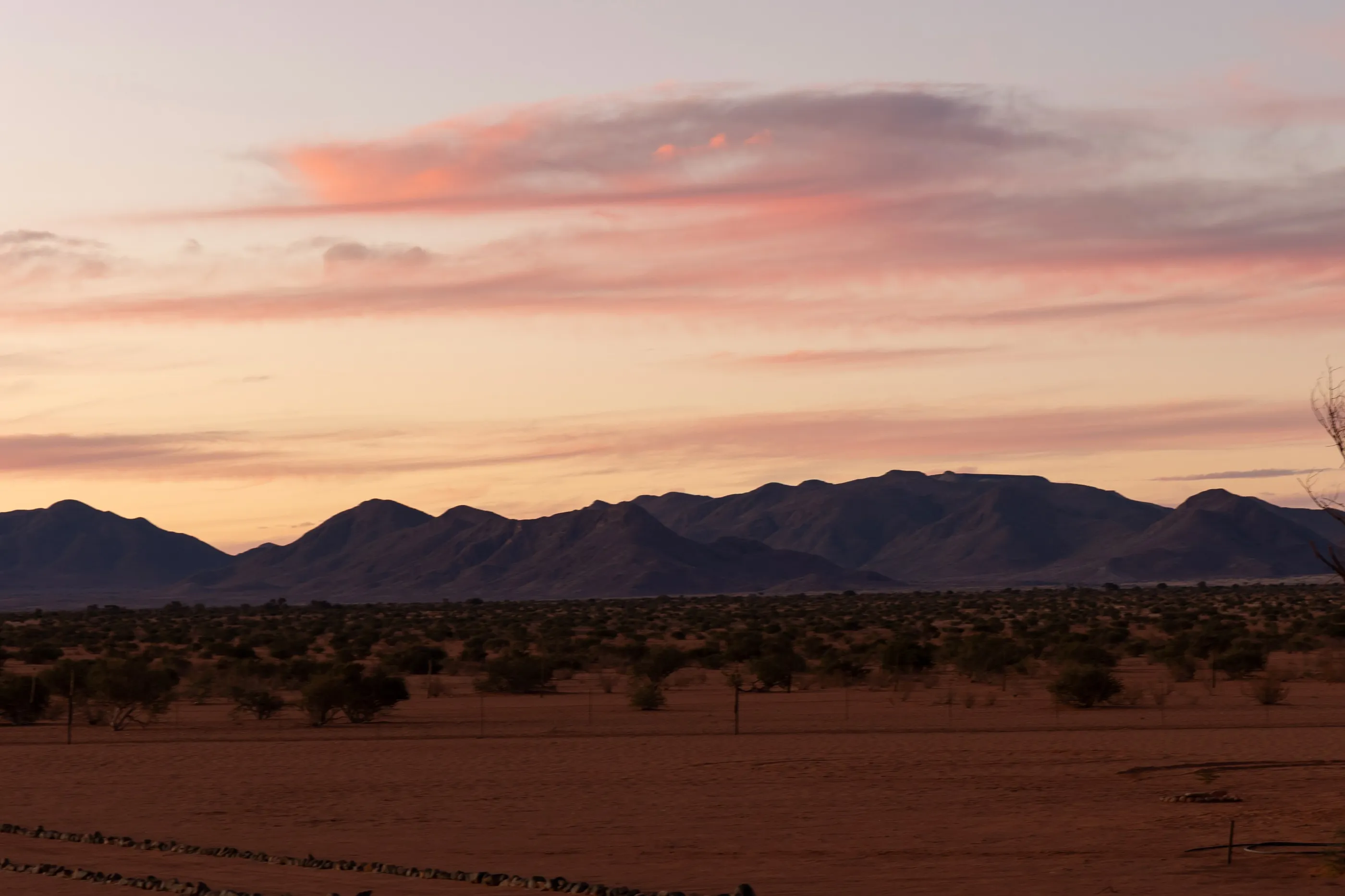
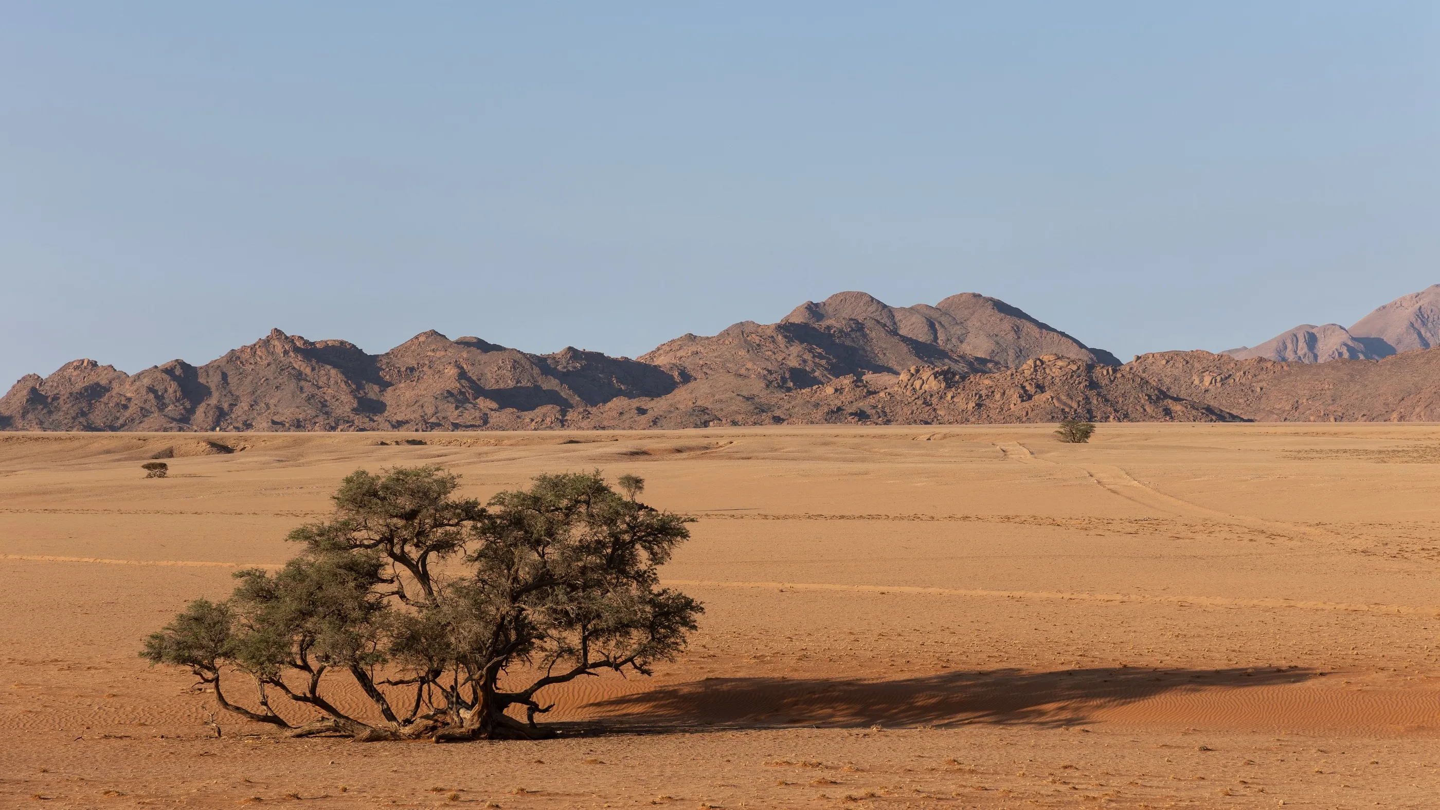
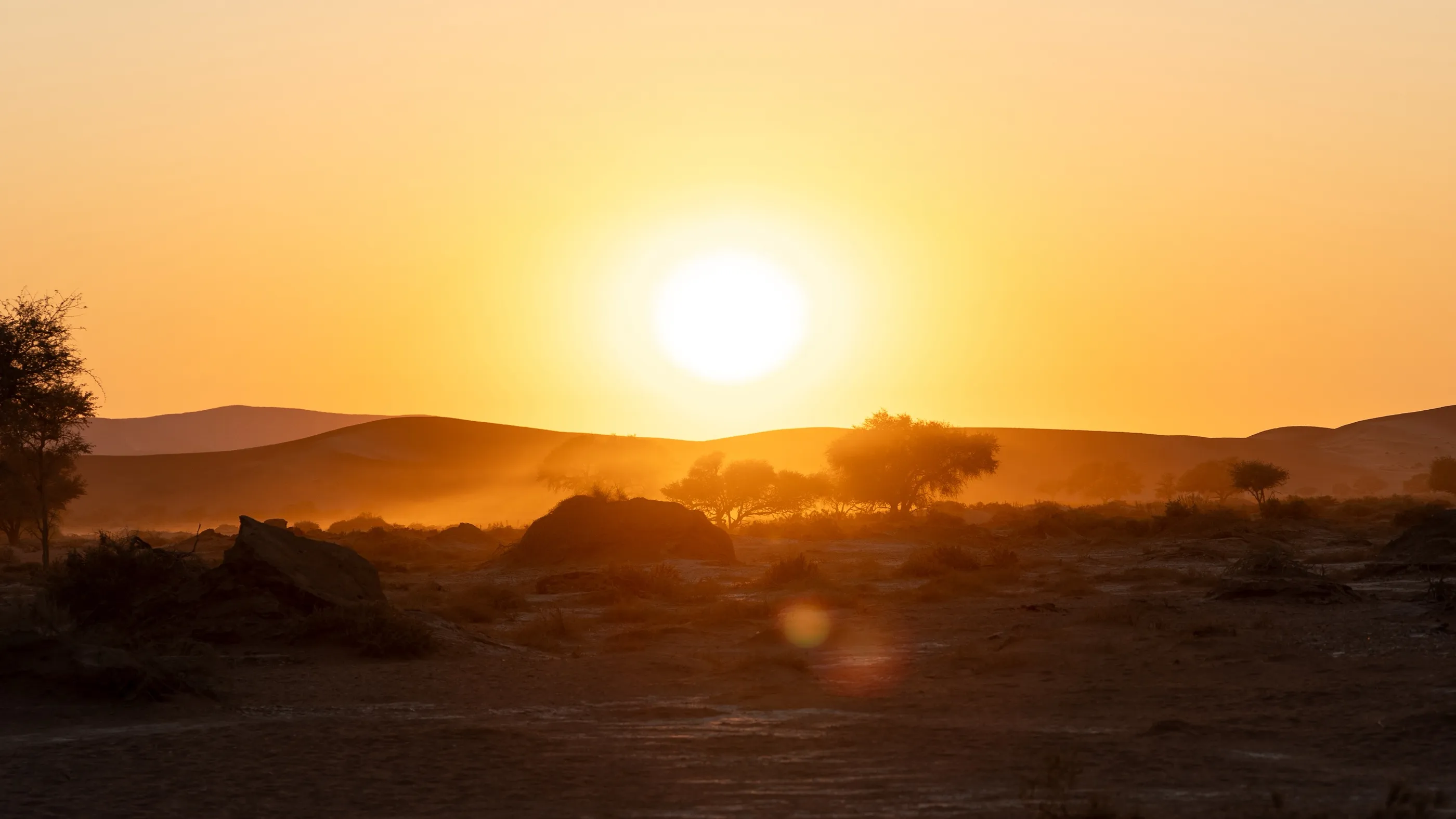
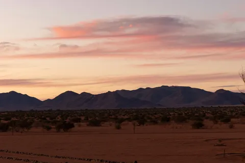
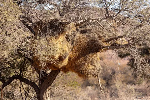
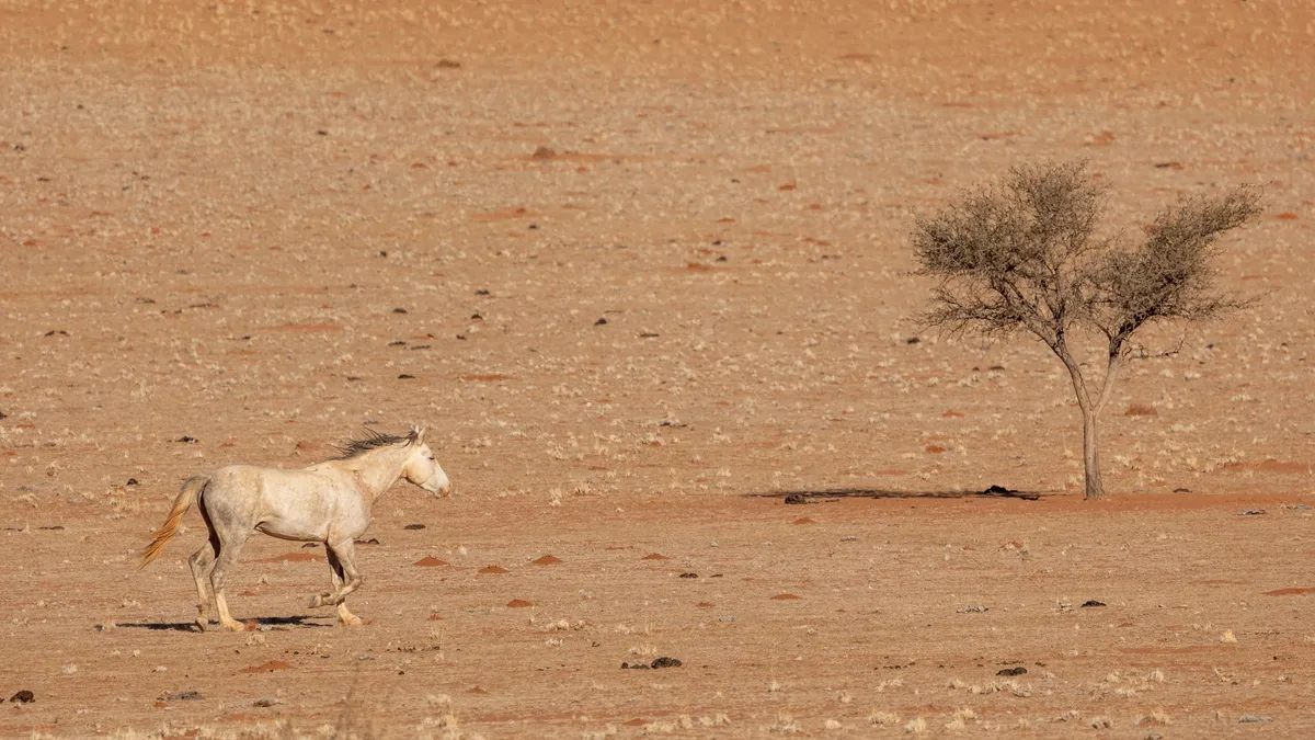
The track heads north along the Tiras Mountains. Horses graze on the red plain, a giant sociable weaver nest weighs down an acacia. In the evening the clouds turn pink above the ridges, then night falls over one of the darkest starry-sky reserves on the planet.


By road↗ 67 km
Duwisib and the Naukluft
Namibia
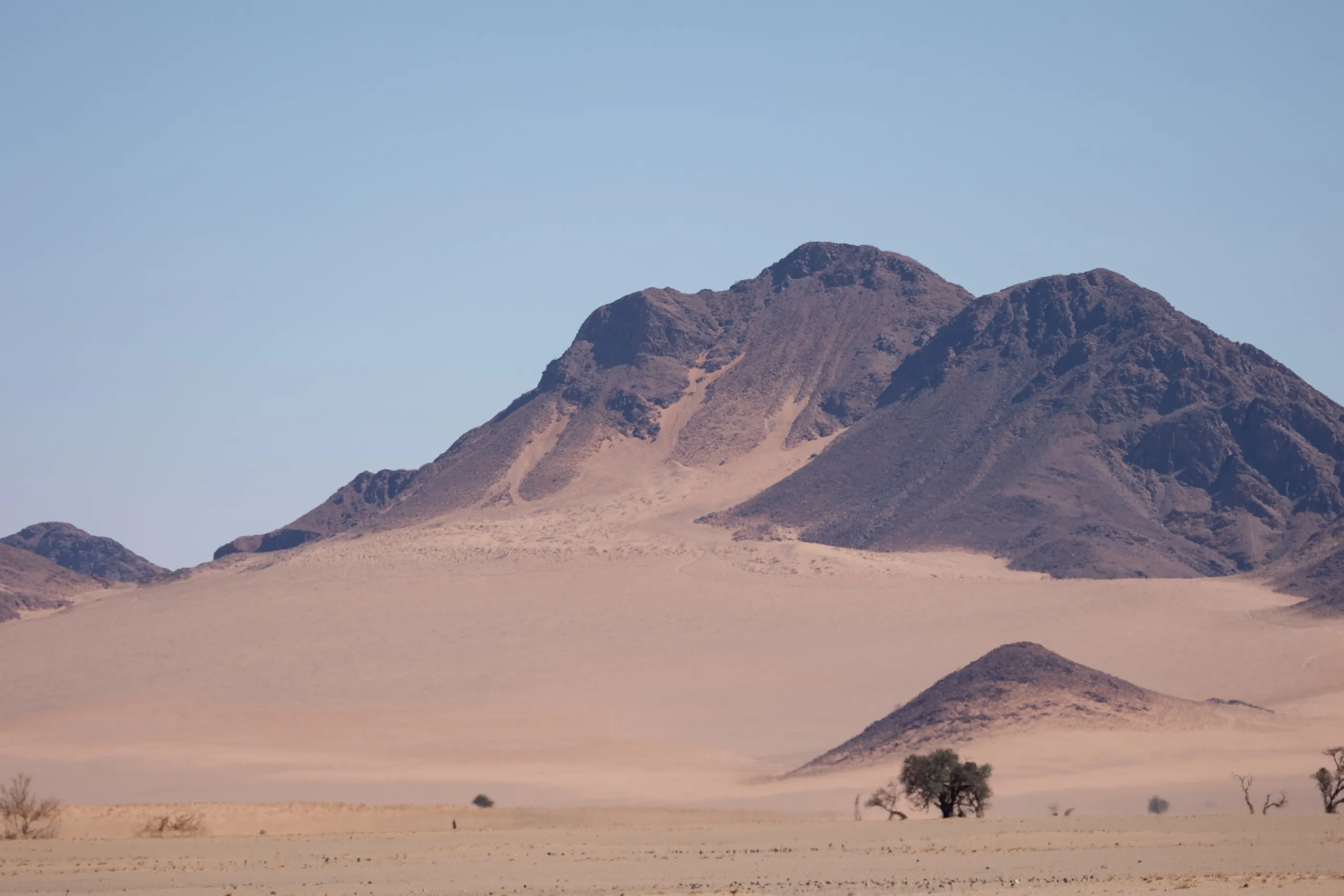
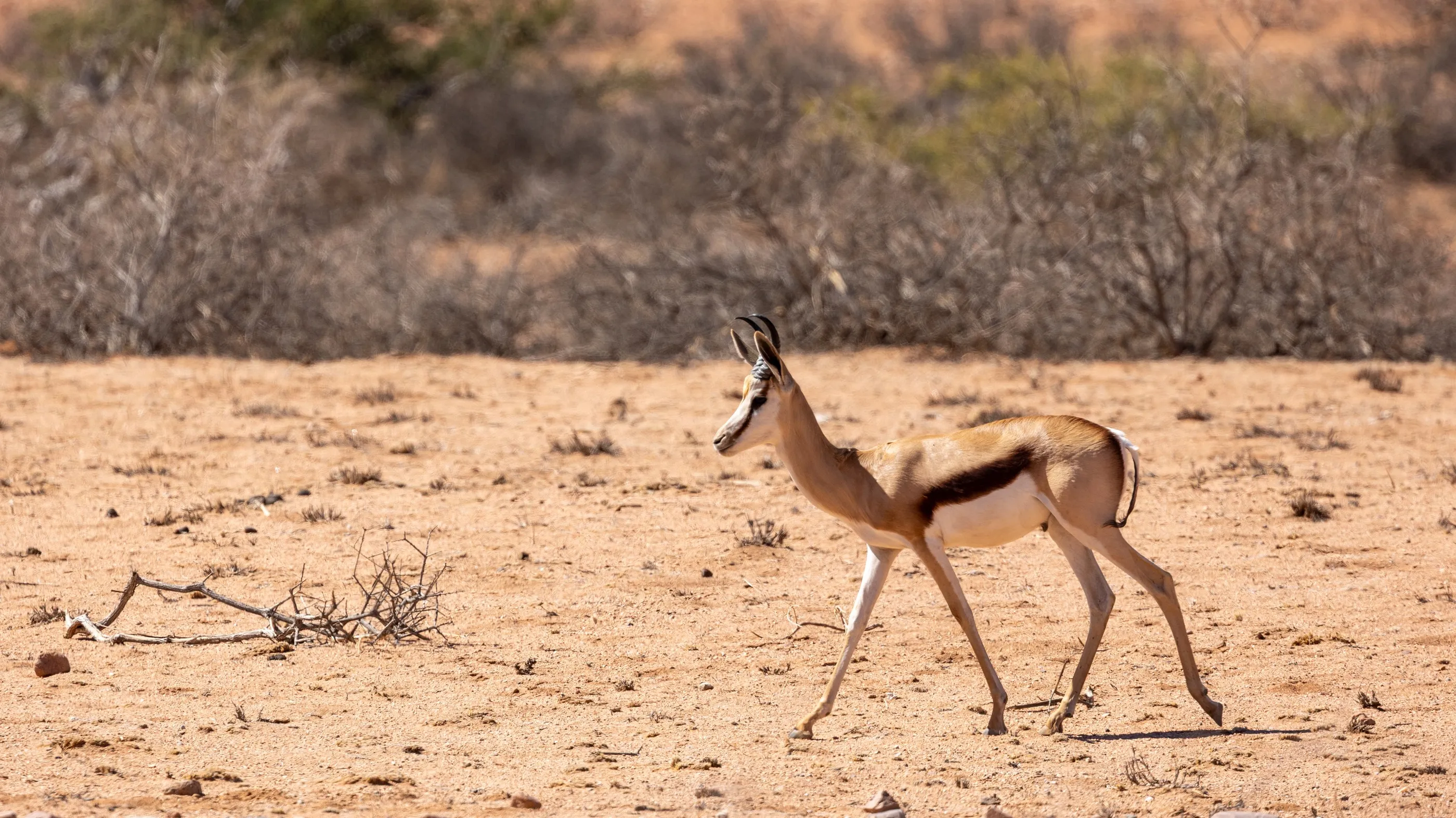
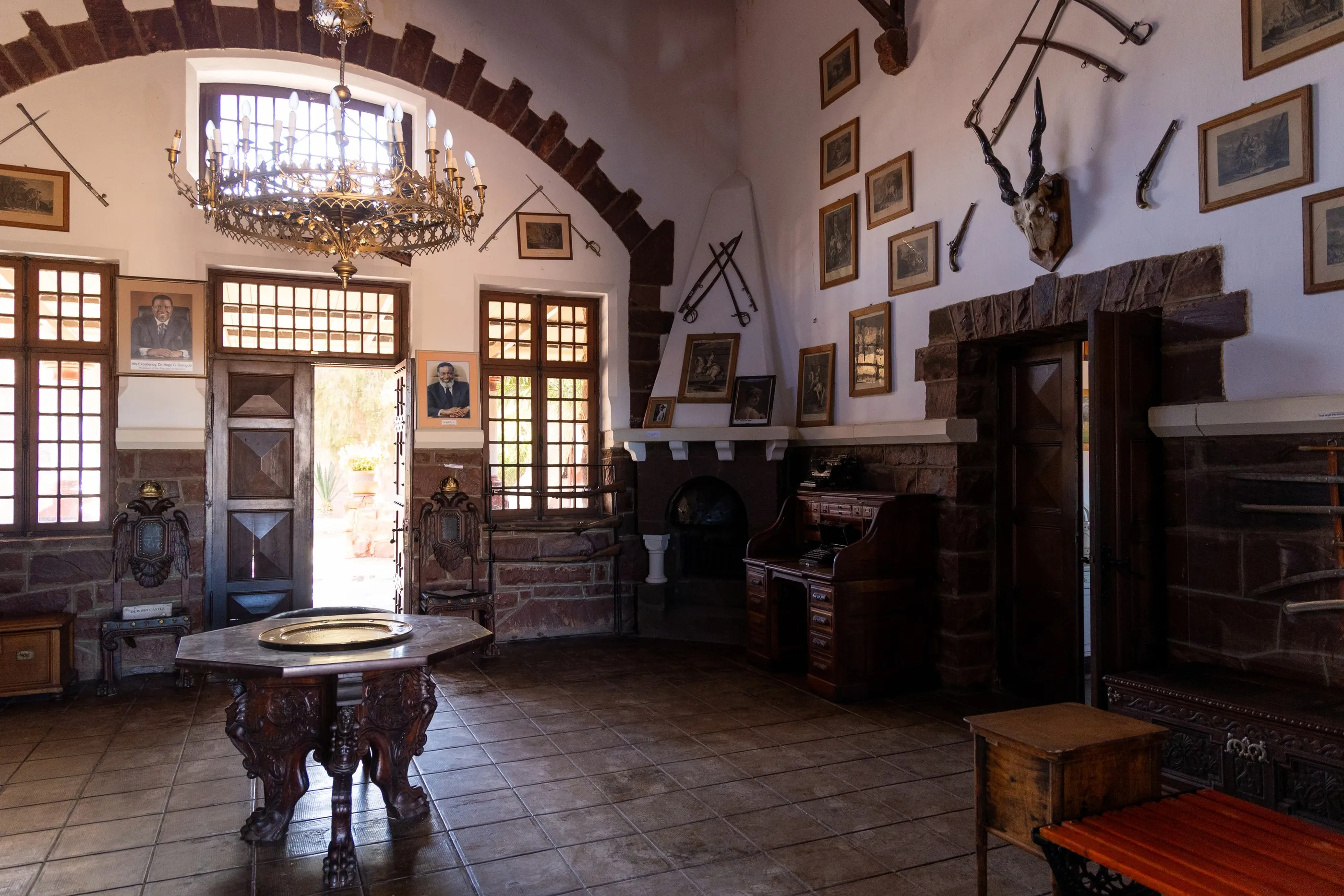
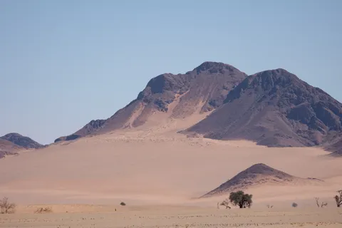
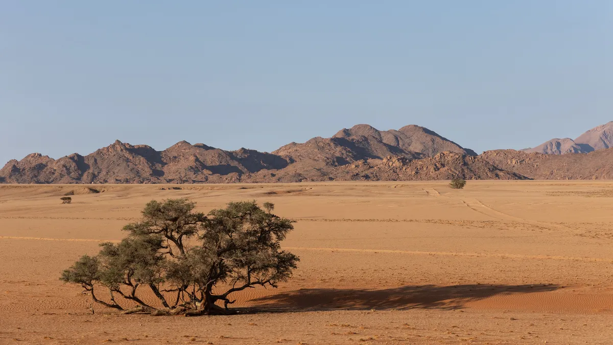
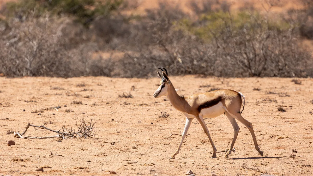
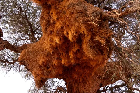
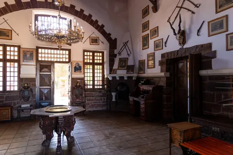
In the middle of nowhere, Duwisib Castle, built in 1909 by a German baron, lines up trophies and chandeliers like a Saxon manor. Then the Namib-Naukluft stacks up its blue ranges; red sand, pushed by the wind, climbs up the dark mountains. Along the way: springbok, a communal nest the size of a hut, and even a black rhino in the shade of an acacia.

By road↗ 136 km
Sossusvlei
Namibia
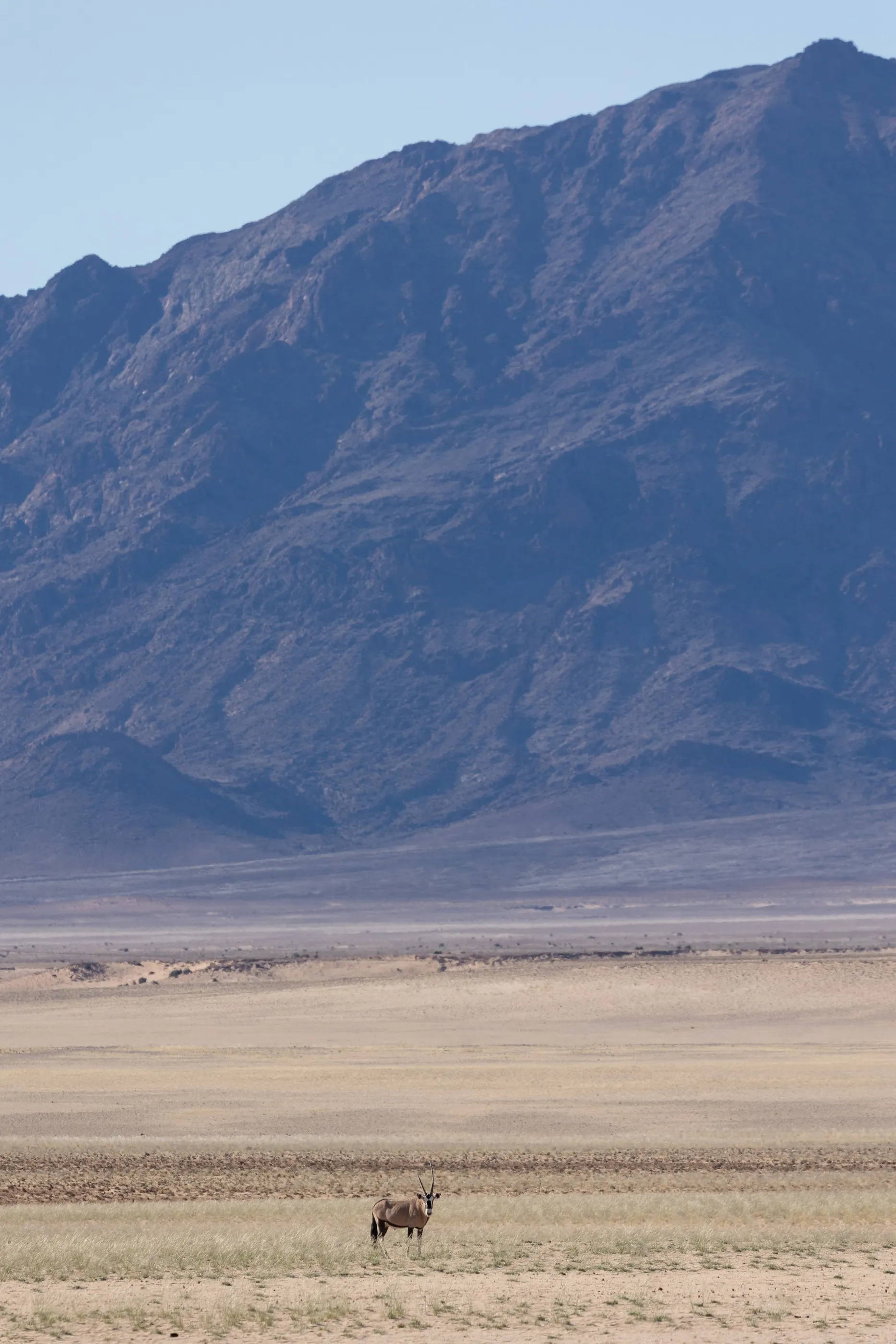
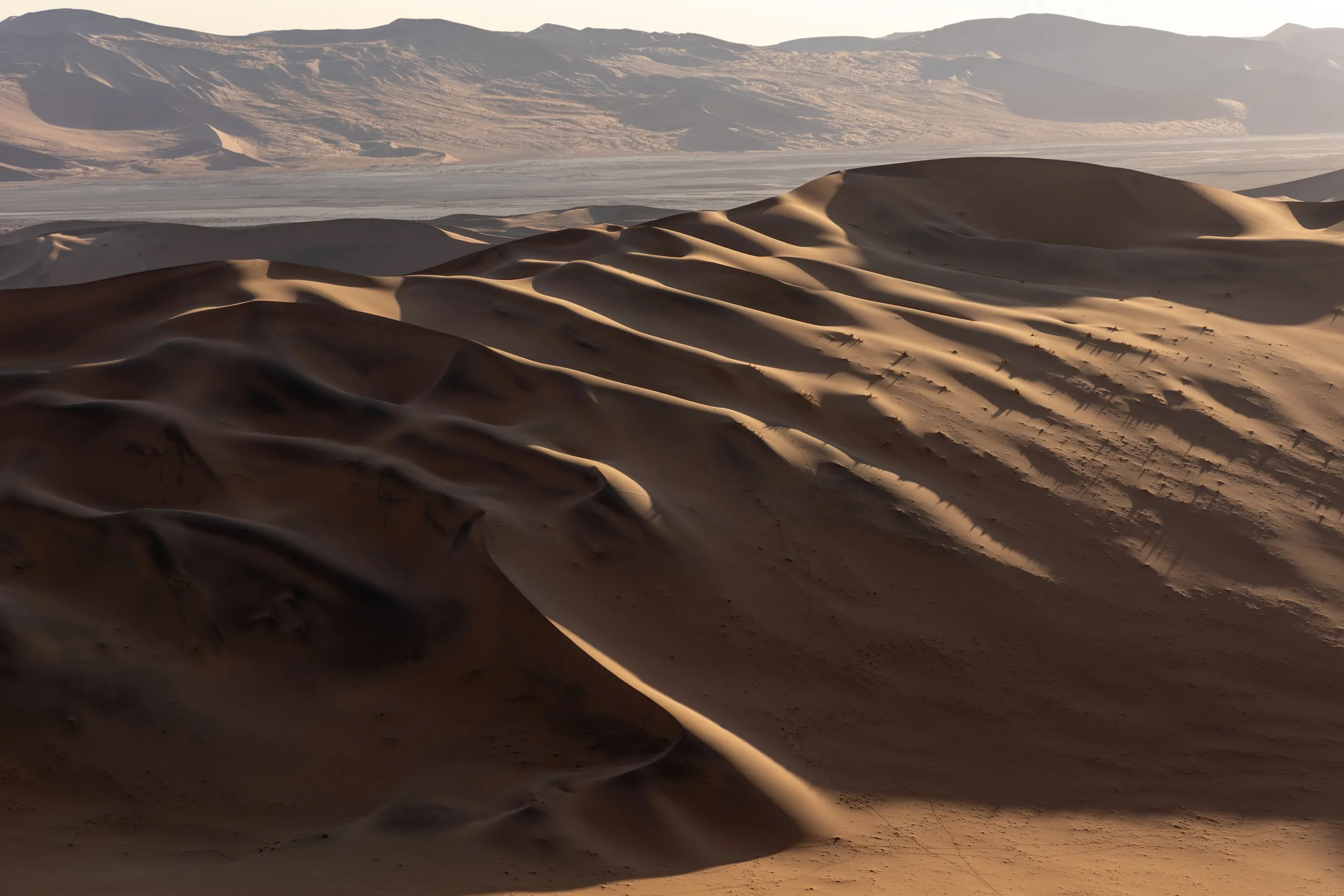
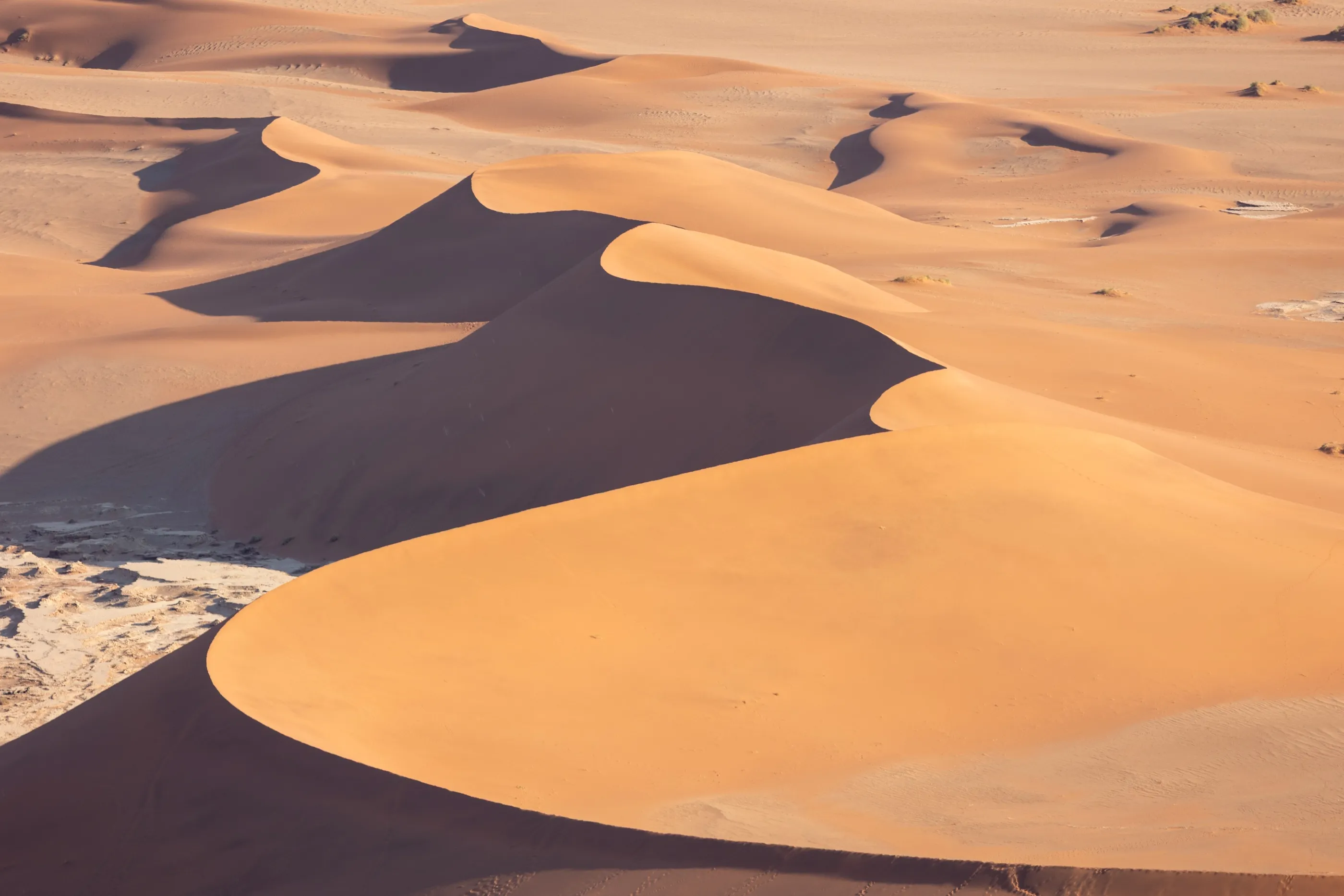
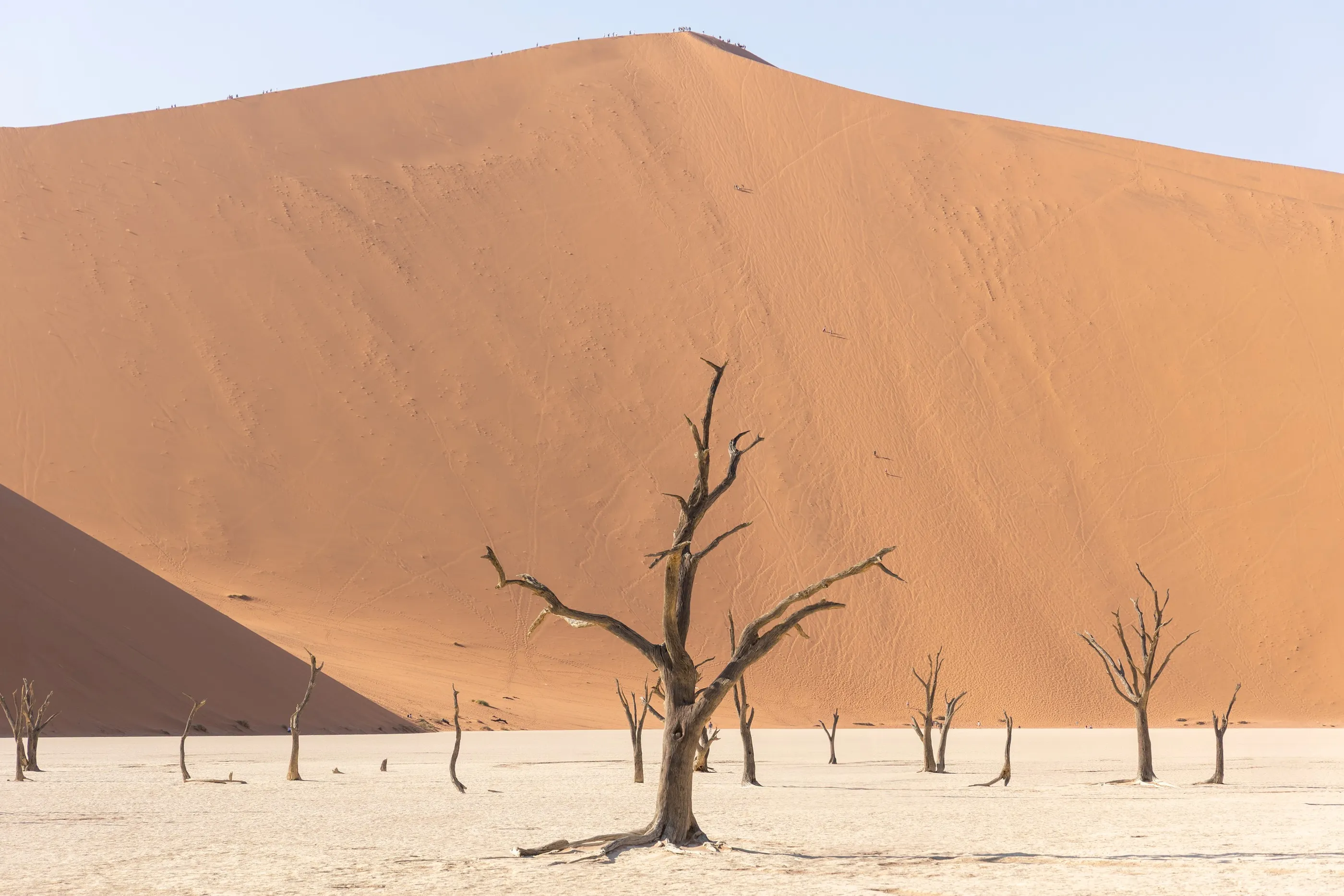
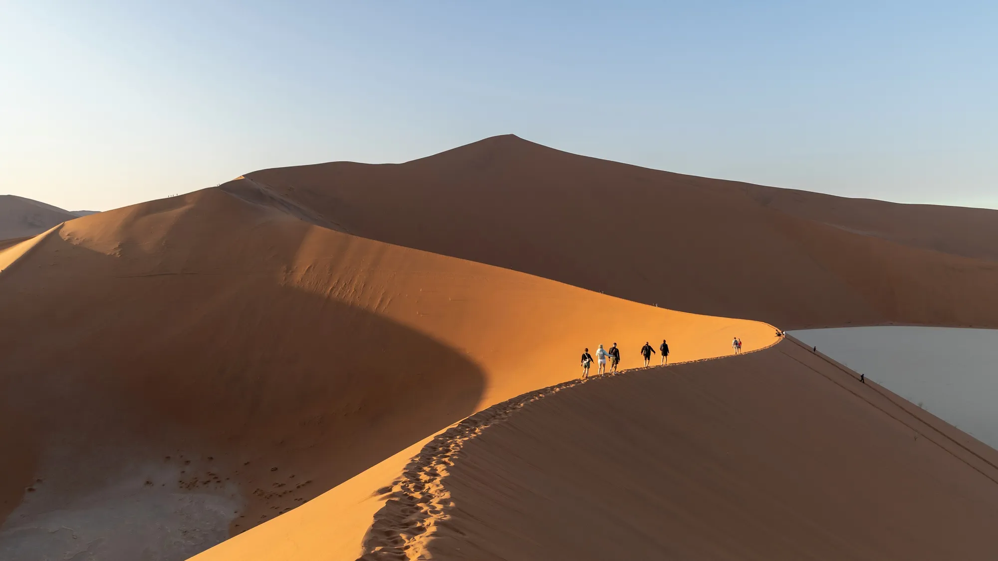
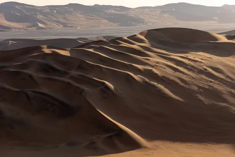
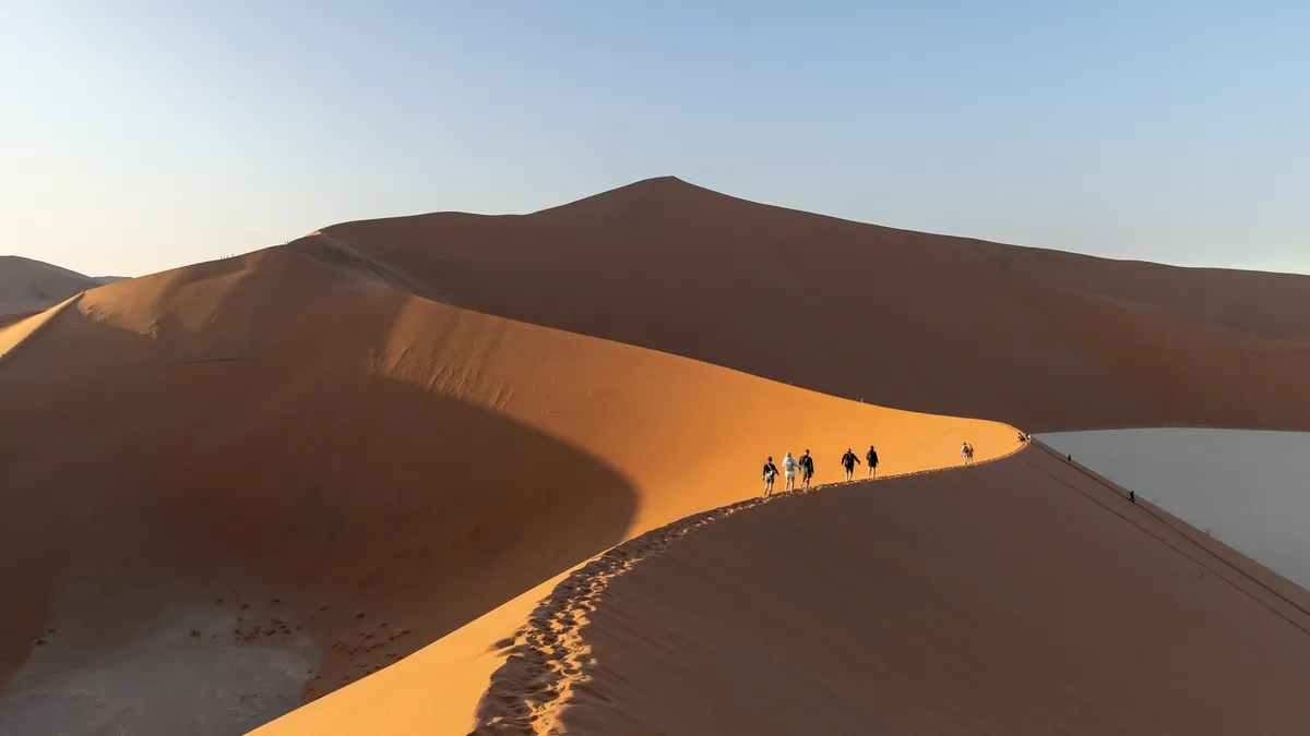
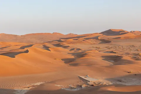
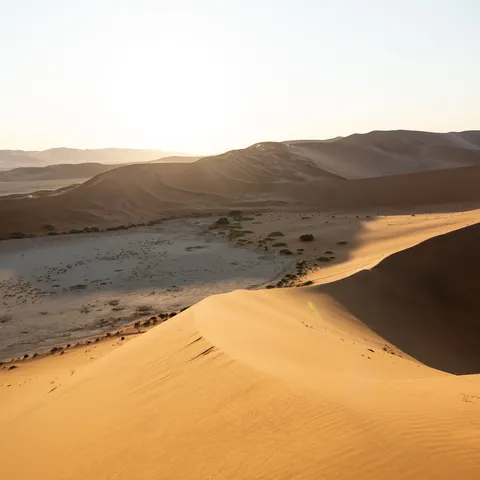
We entered the park as the gates opened to climb Big Daddy in the low morning light. From the top, the dunes — among the highest in the world — become pure abstractions: knife-edge ridges, blue shadows, hollows of white clay. A lone oryx crosses the slope, tiny.



On foot↗ 6 km
Deadvlei
Namibia
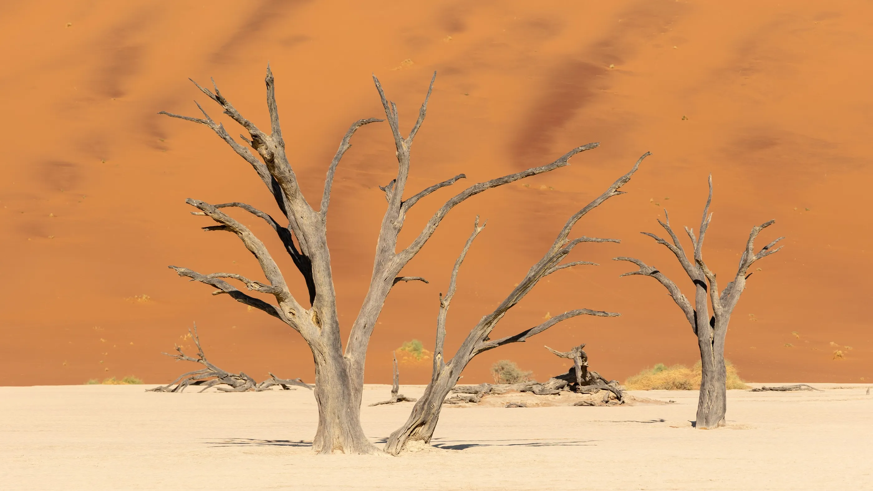
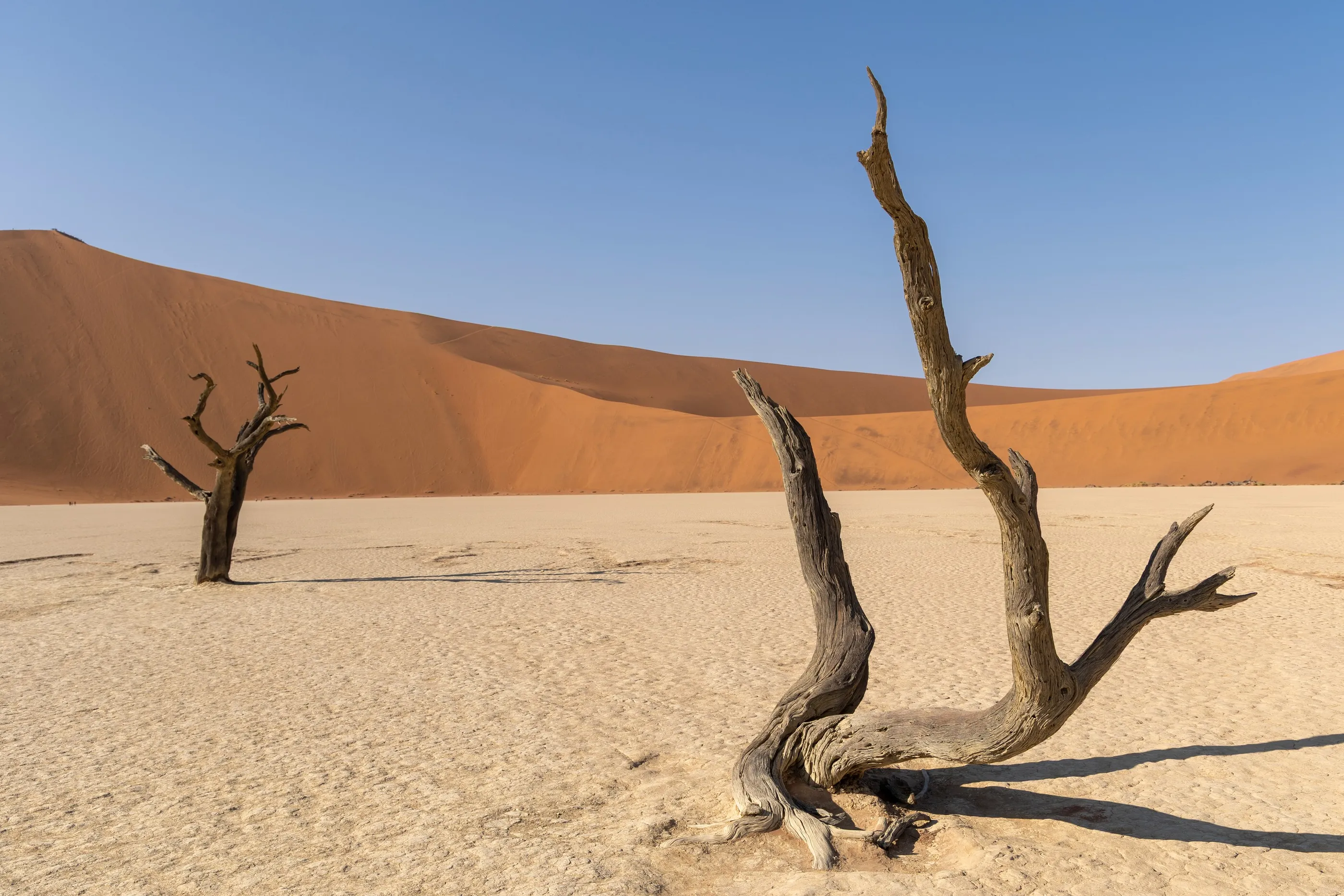
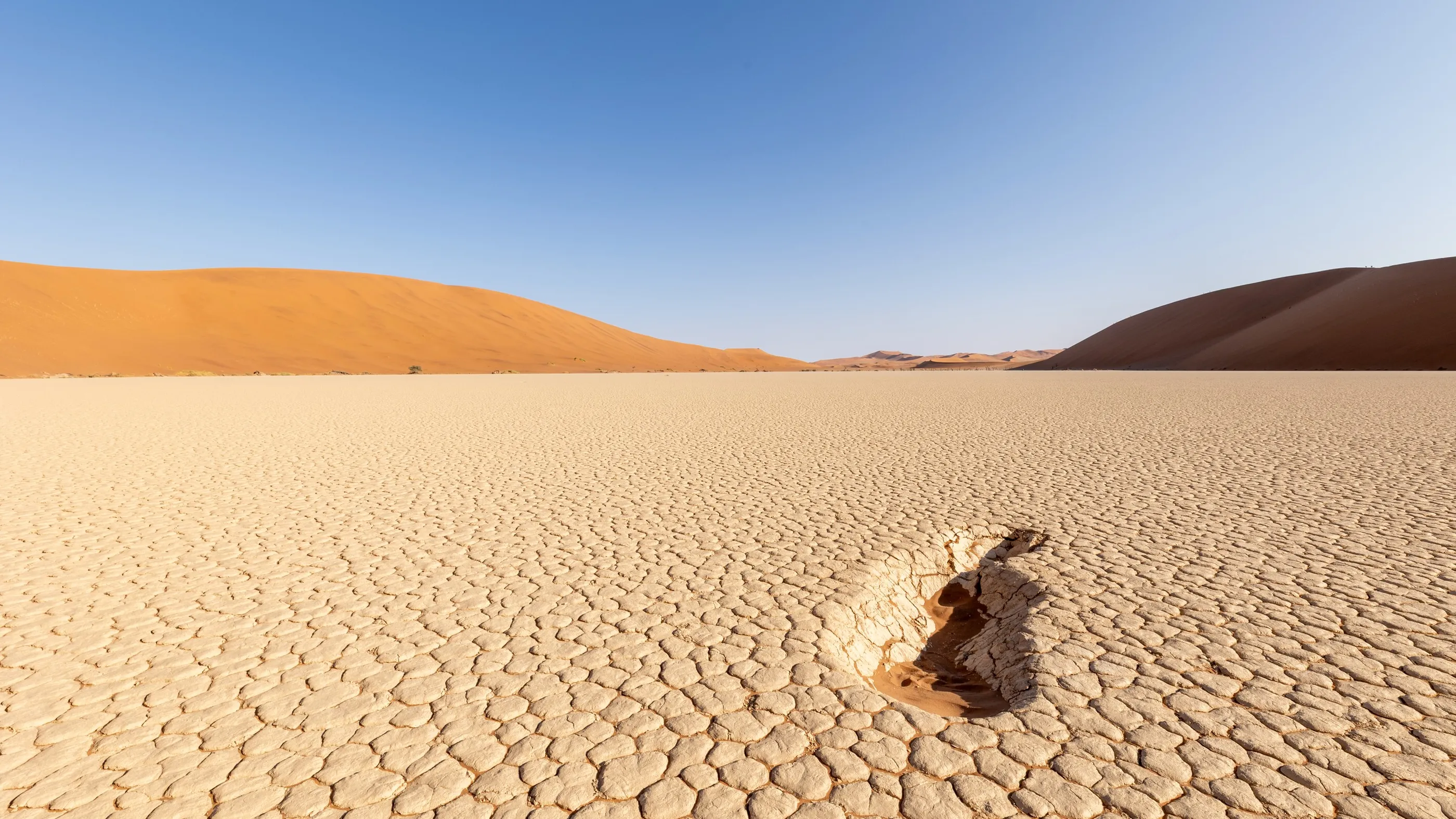
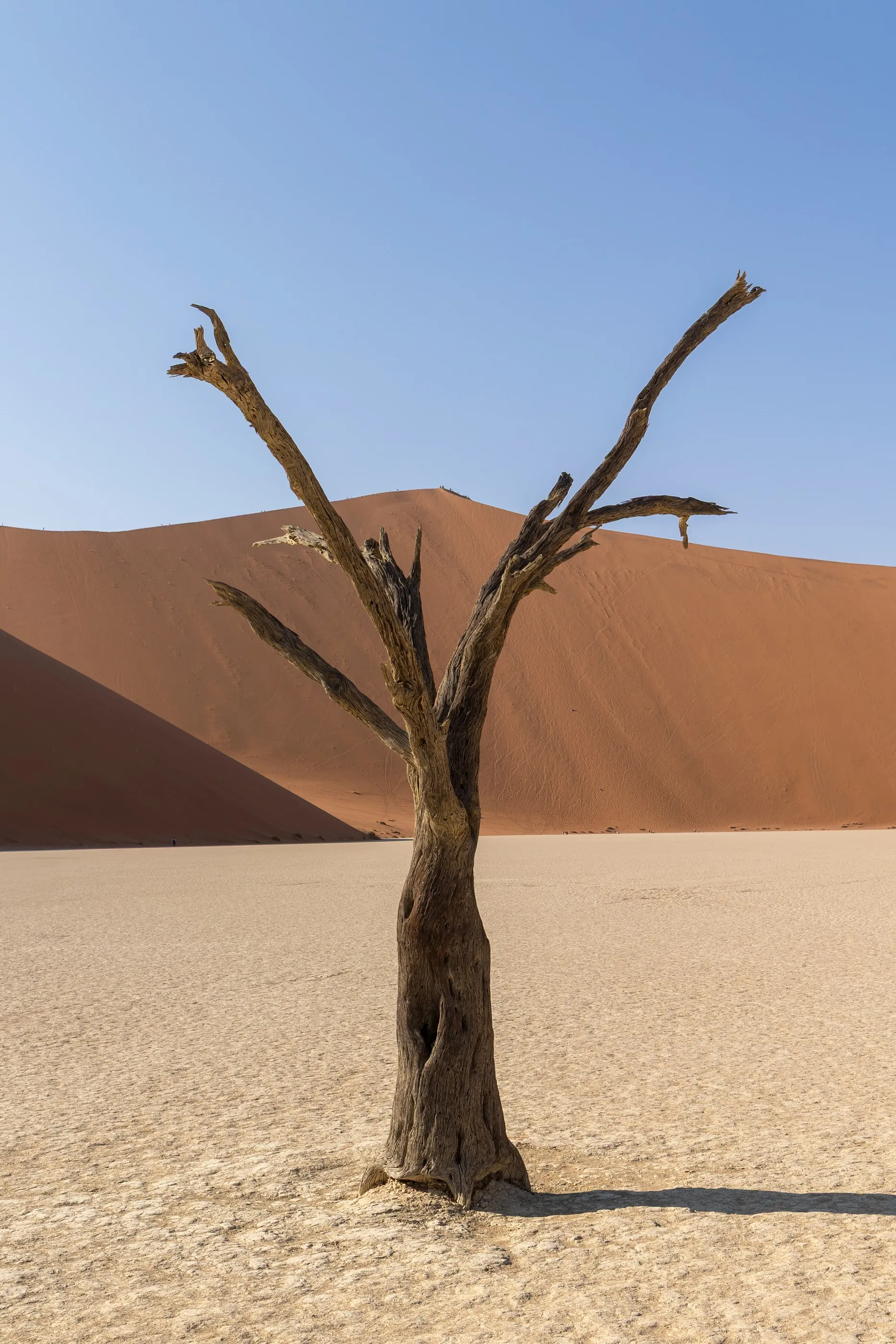
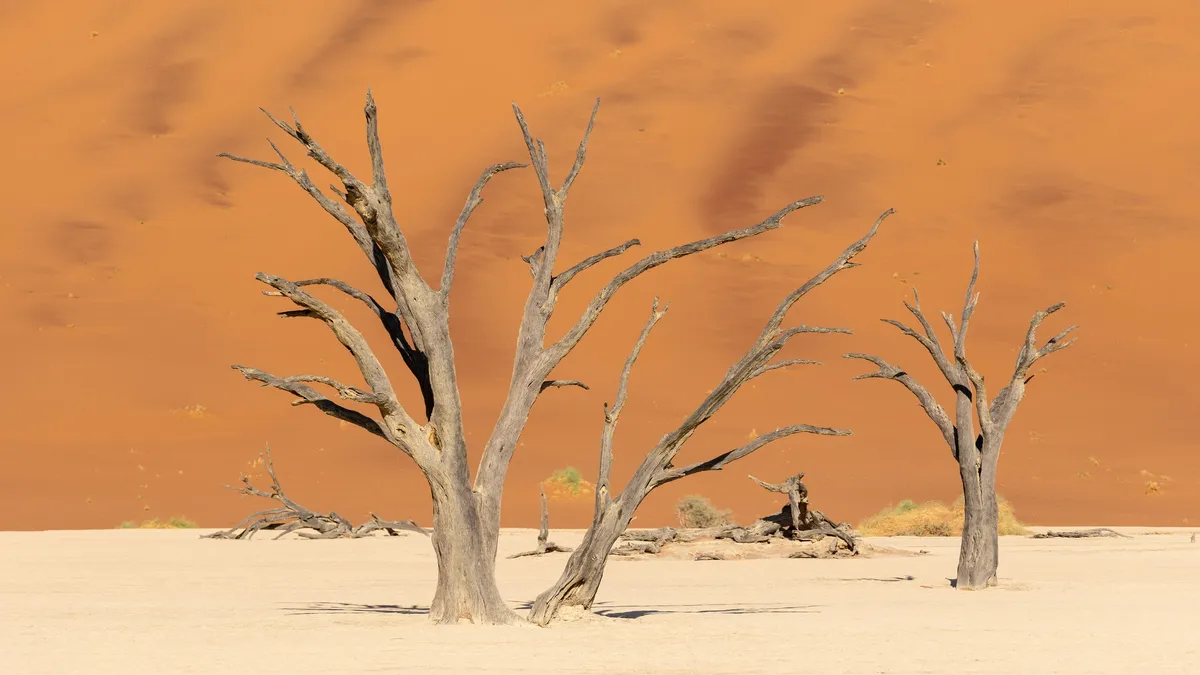
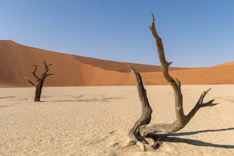
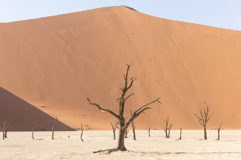
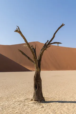
At the foot of Big Daddy lies Deadvlei: a white clay pan where acacias dead for centuries, blackened by the sun, have never rotted for lack of moisture. Against the orange wall of the dune, still half in shadow, their twisted silhouettes look drawn in ink.

By road↗ 216 km
Walvis Bay
Namibia
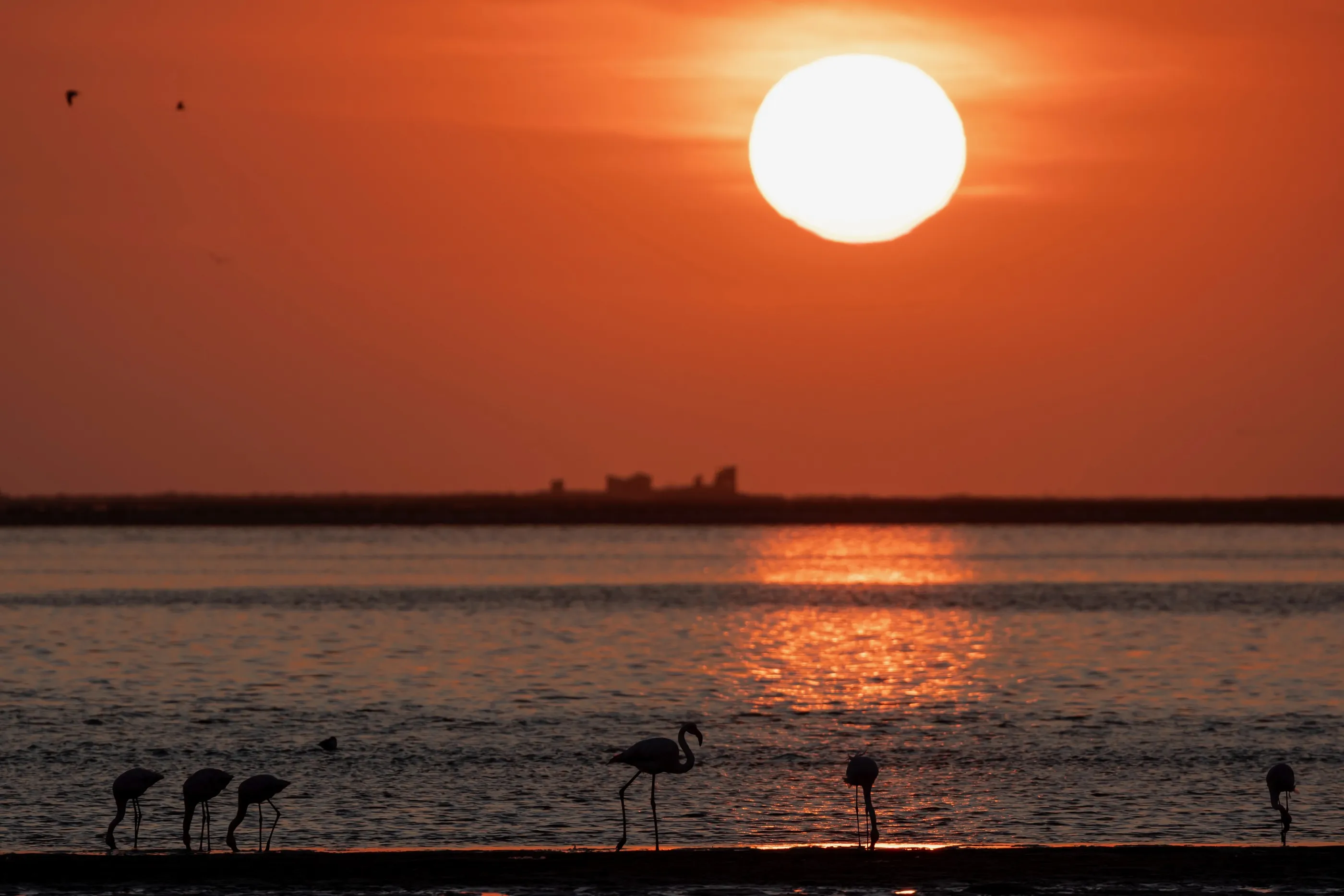
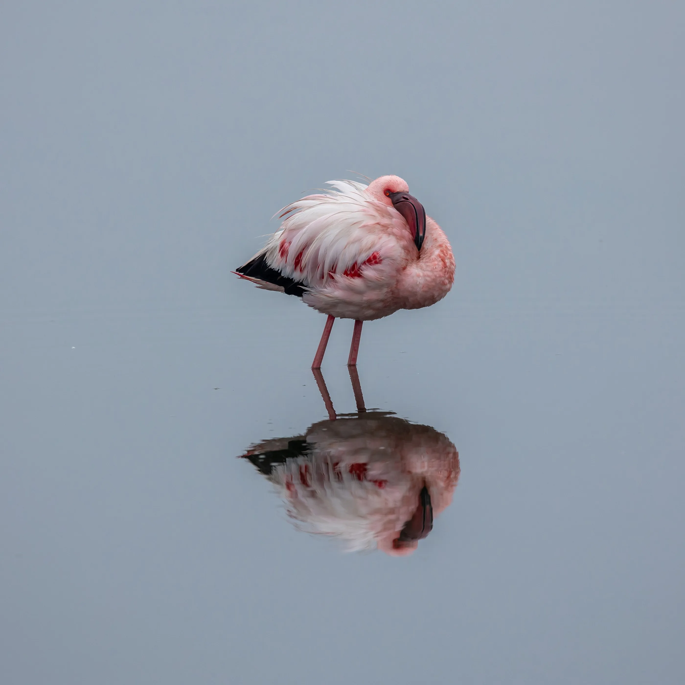
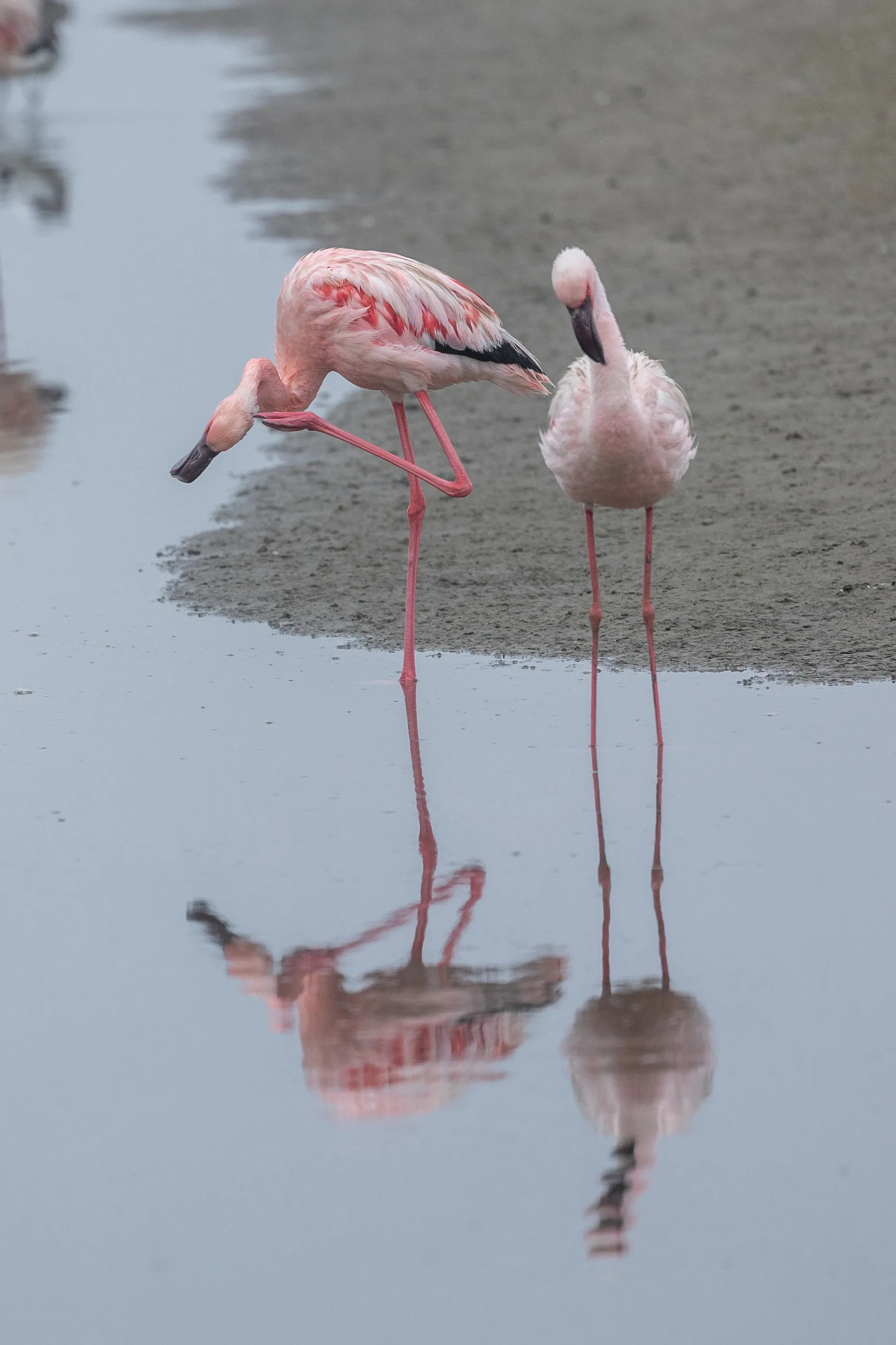
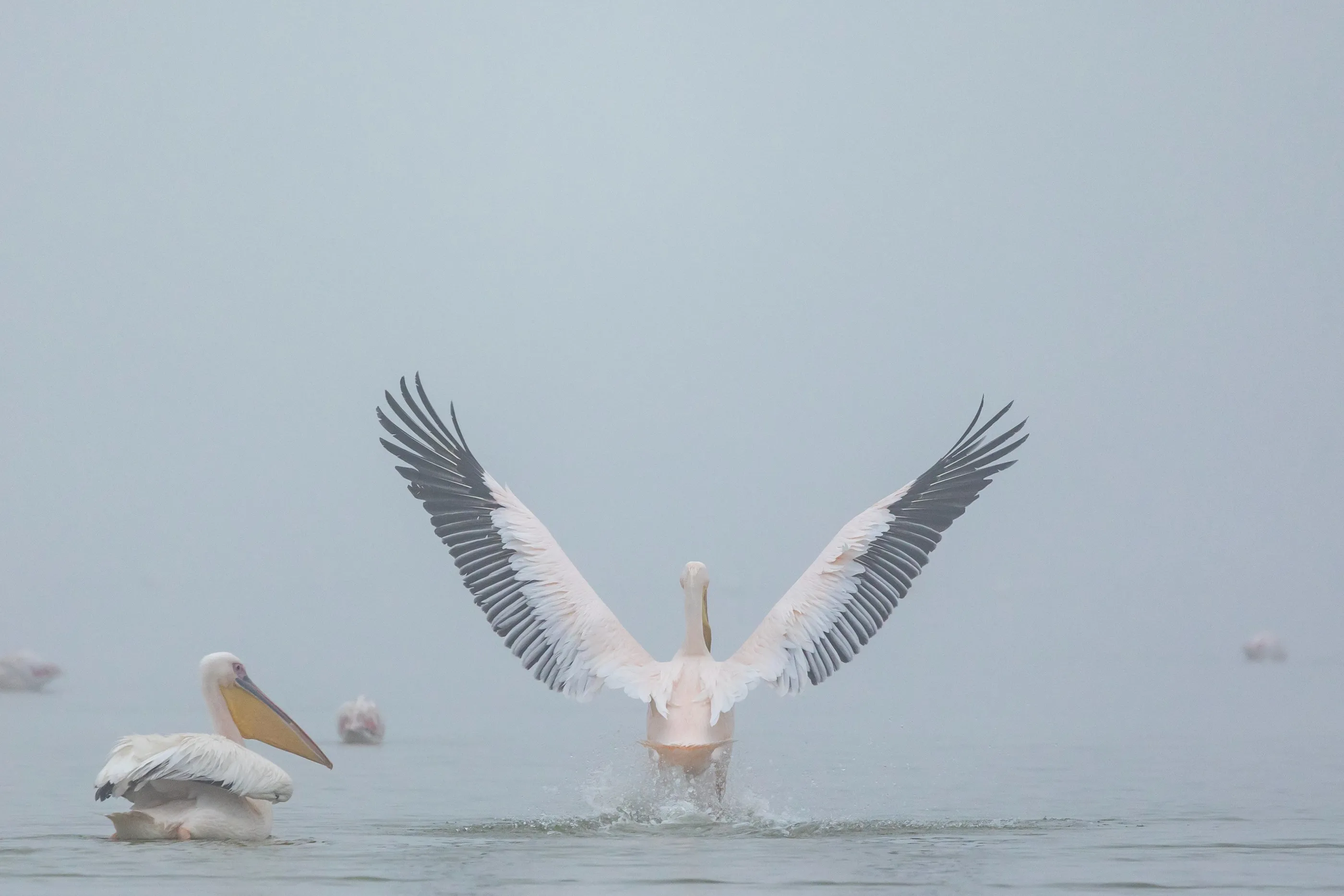
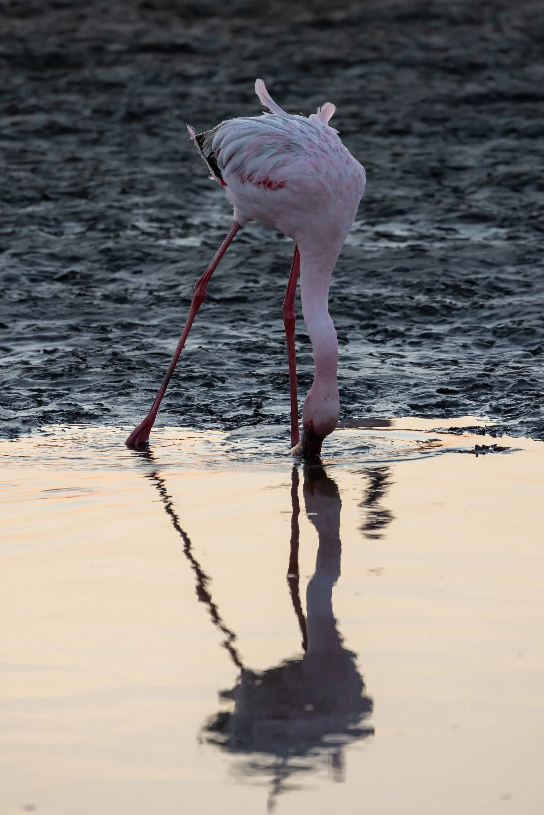
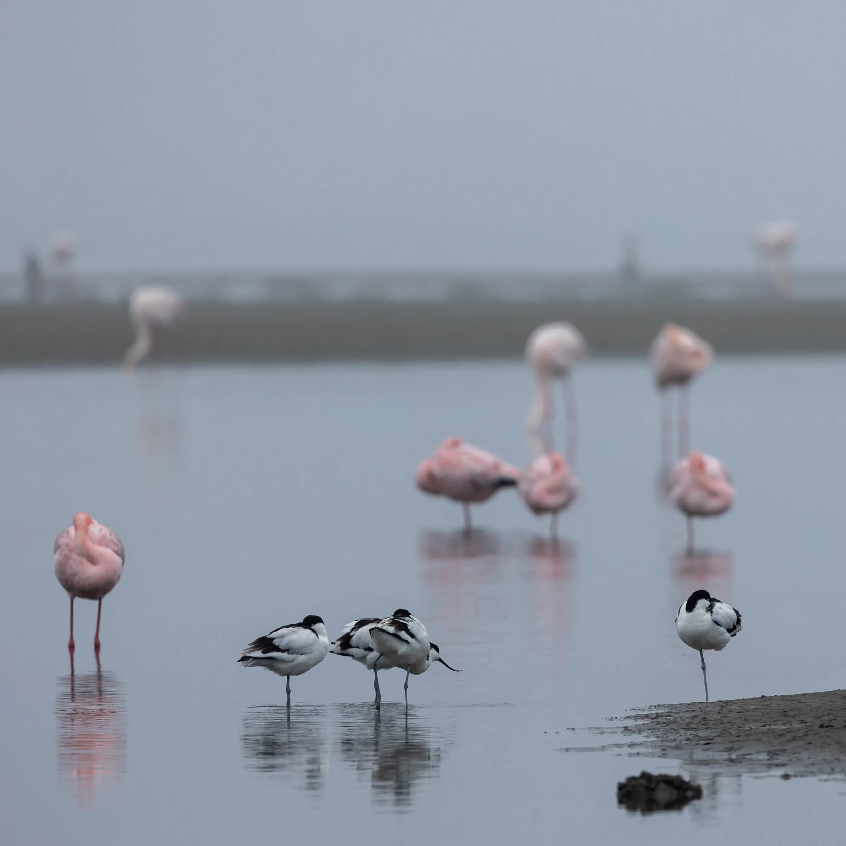
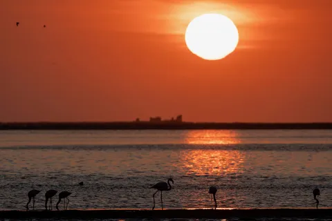
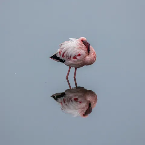
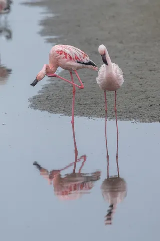
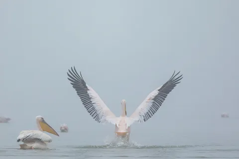
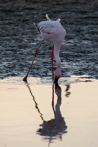
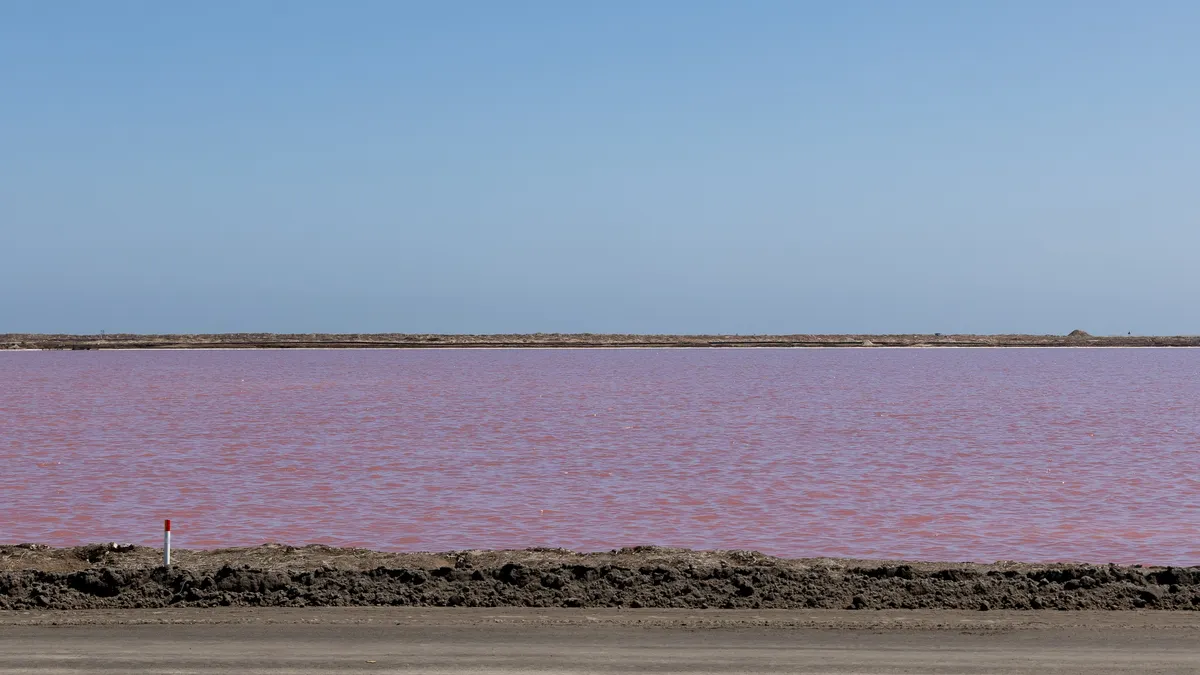
The Walvis Bay lagoon is home to thousands of greater and lesser flamingos, pelicans and avocets. In the evening the sun sinks behind their silhouettes; in the morning the coastal fog erases the horizon and the birds seem to float in a boundless pastel. Further on, the salt pans tint the water pink.


By road↗ 46 km
Sandwich Harbour
Namibia
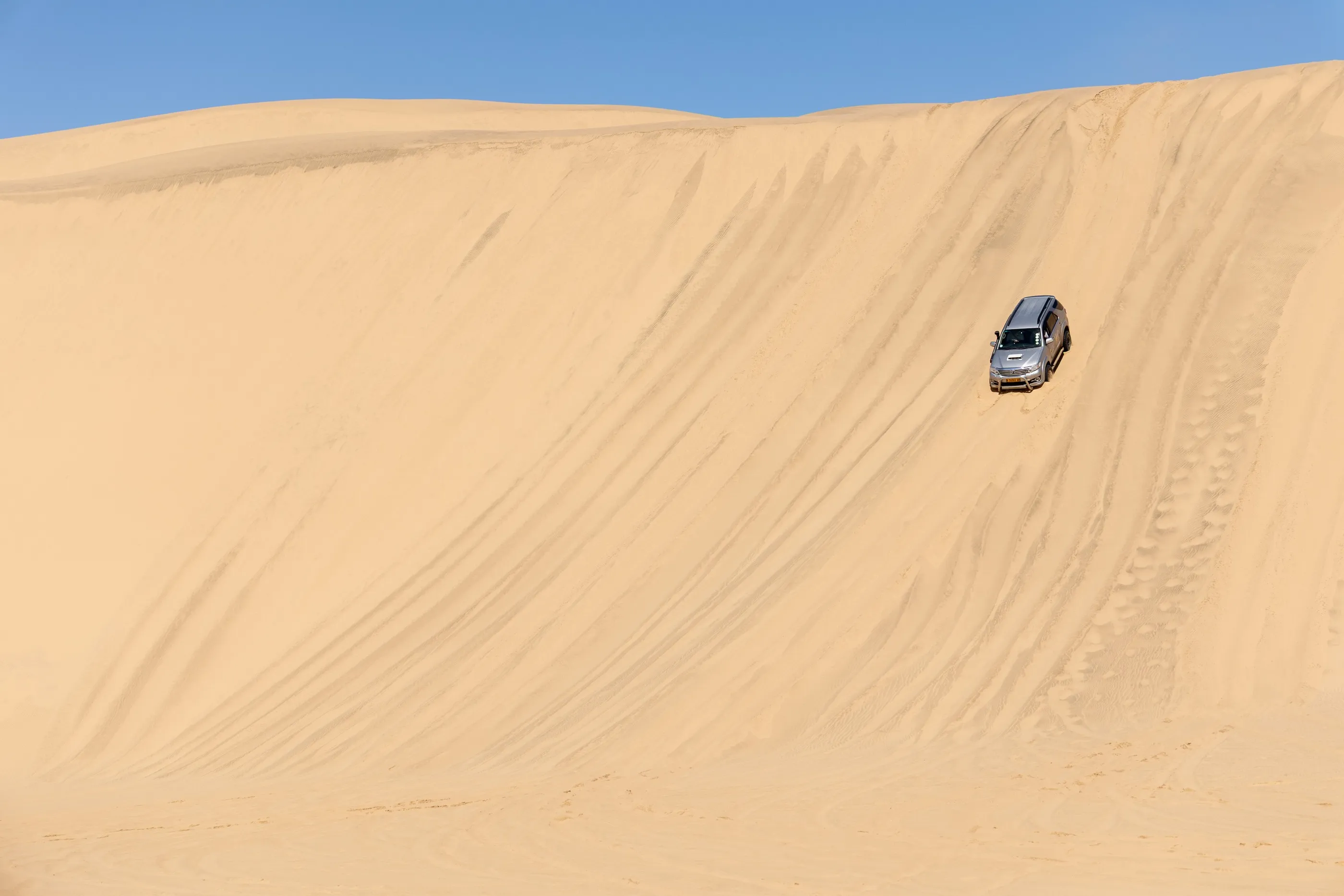
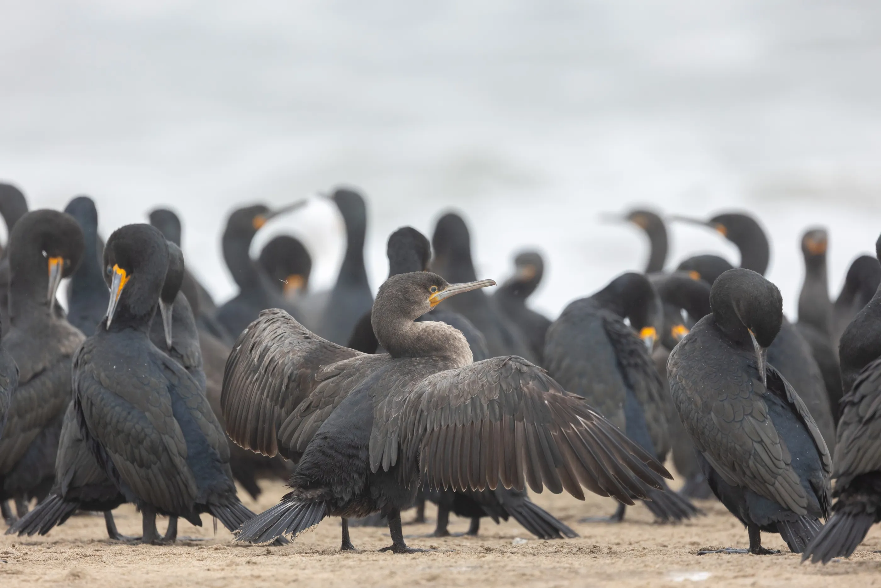
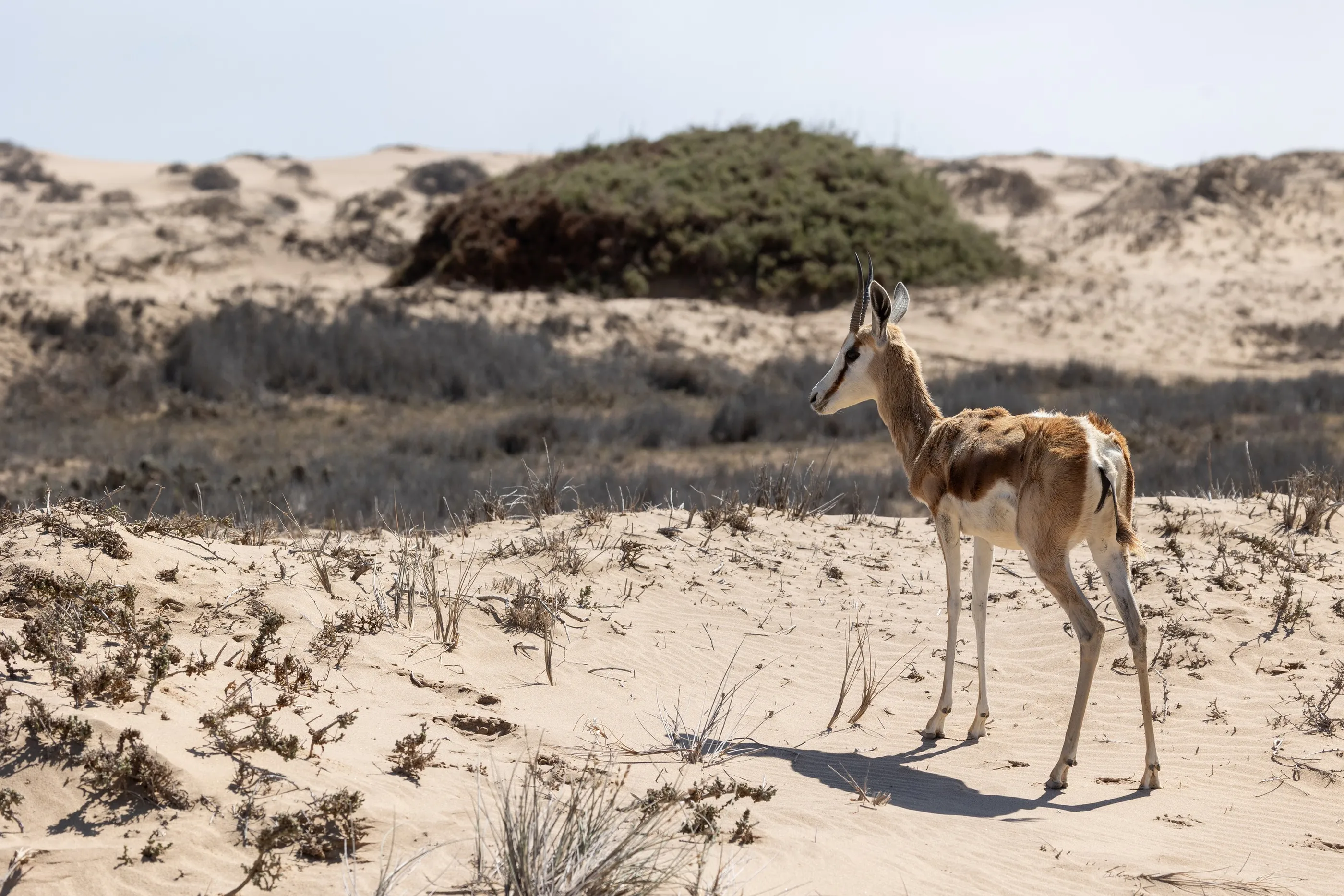
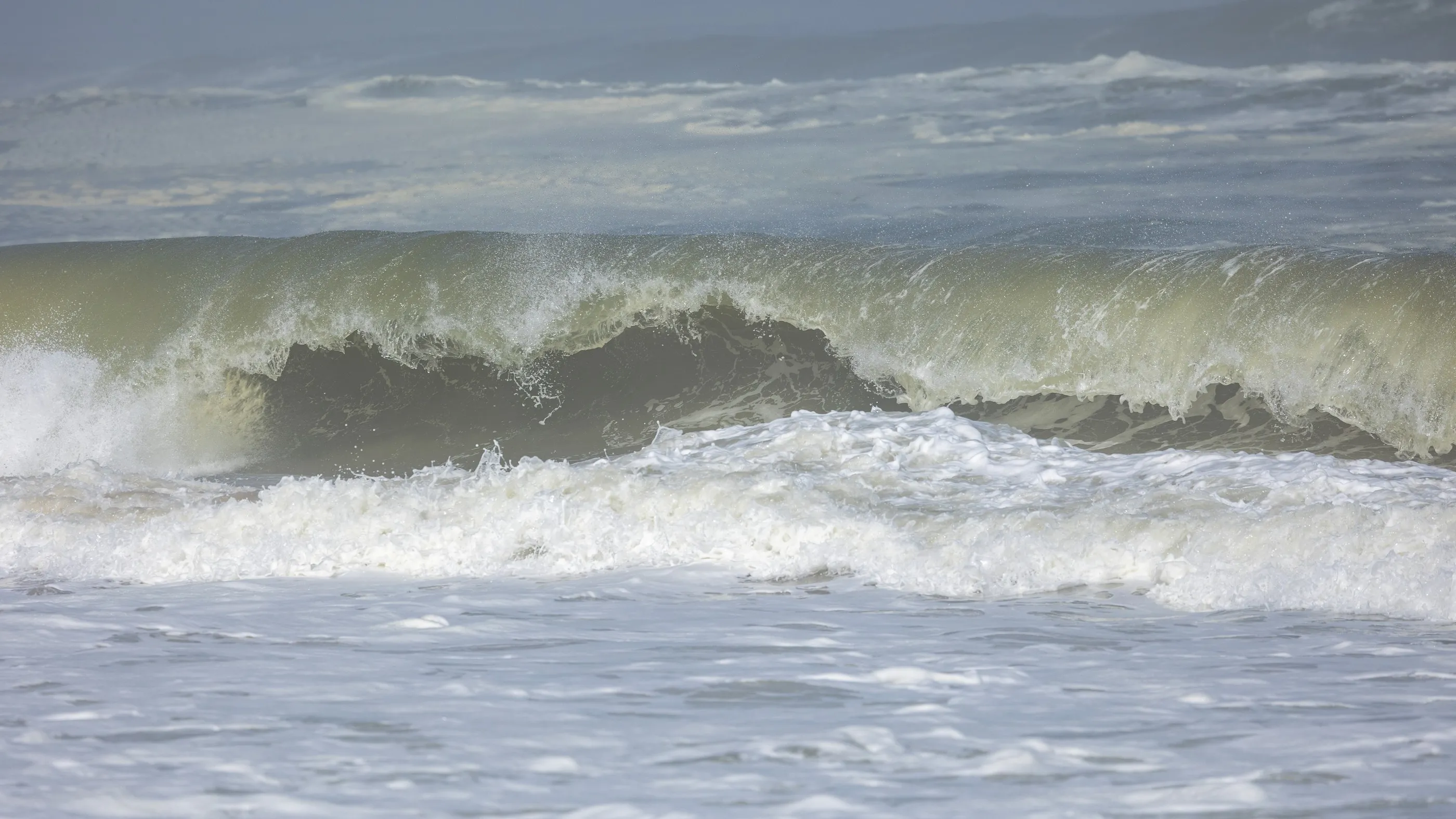
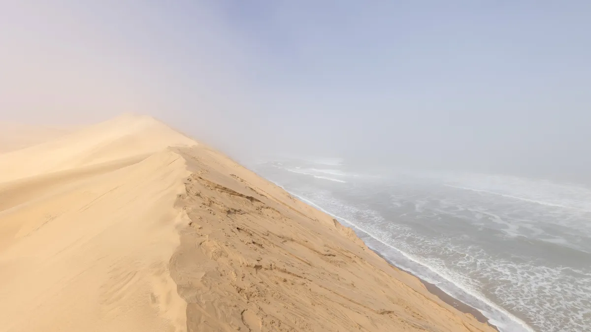
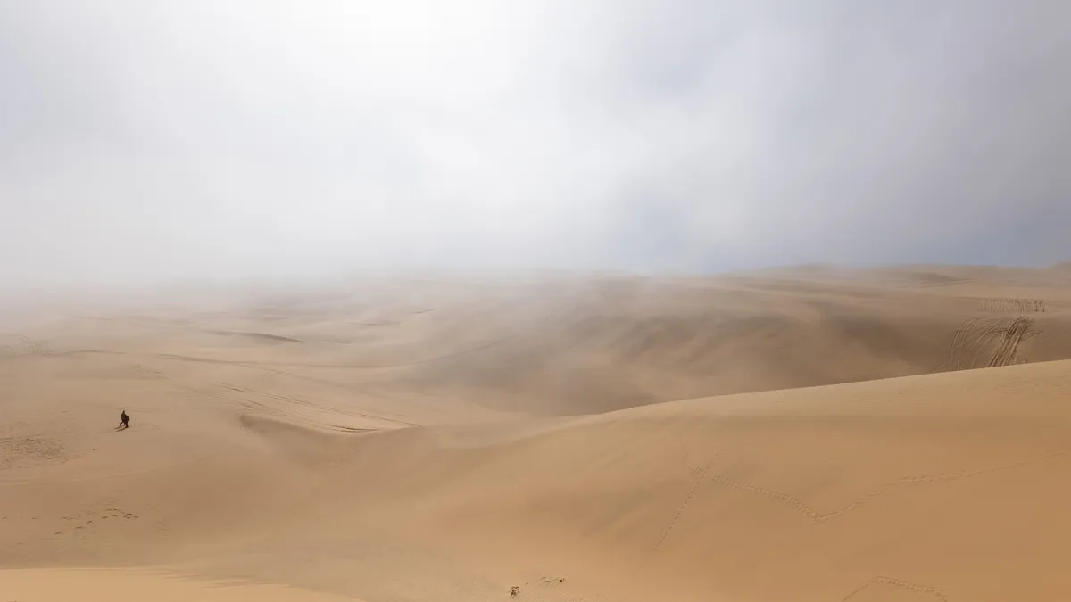
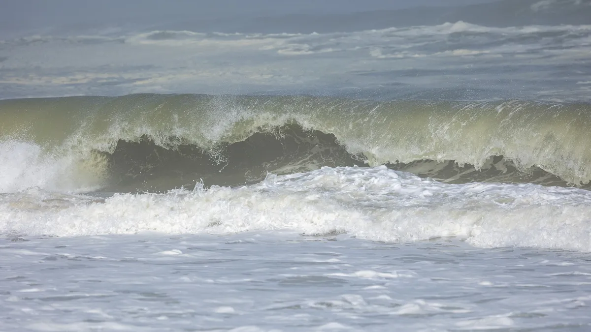
South of Walvis Bay, at Sandwich Harbour, the dunes plunge straight into the ocean. It can only be reached by 4×4, at low tide, driving along the beach between the breakers and the sand — and then down dizzying slopes. Cape cormorants huddle on the shore, a springbok ventures into the coastal dunes.



By road↗ 77 km
Swakopmund
Namibia
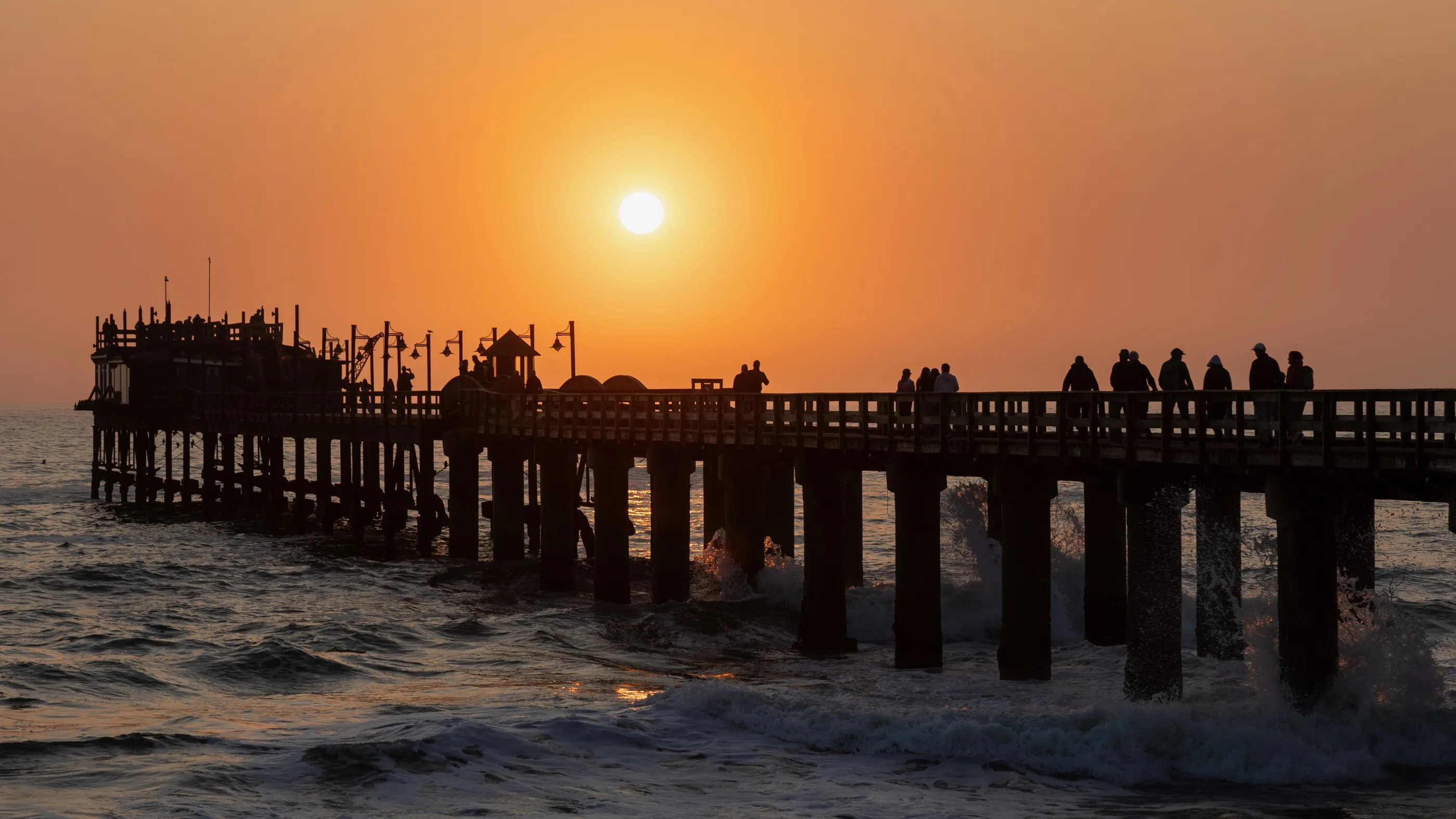
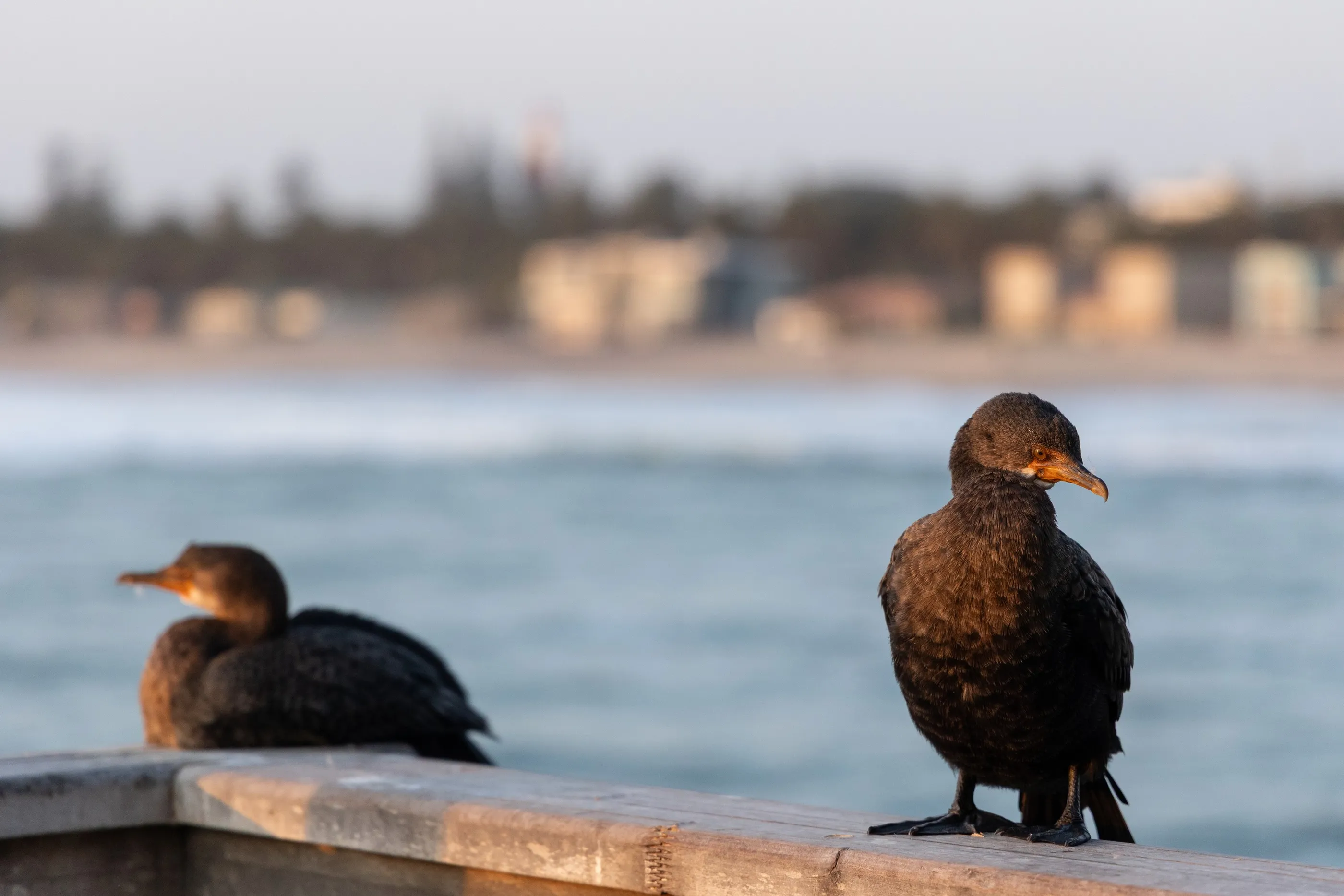
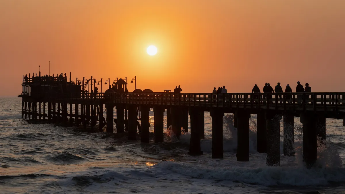
Half-timbering, turrets and German shop signs: with the Woermannhaus or the Hohenzollern building, Swakopmund feels like a small Baltic seaside resort set down between desert and Atlantic. In the evening, cormorants perch on the railing of the jetty as it glows in the setting sun.
By road↗ 117 km
Skeleton Coast and Cape Cross
Namibia
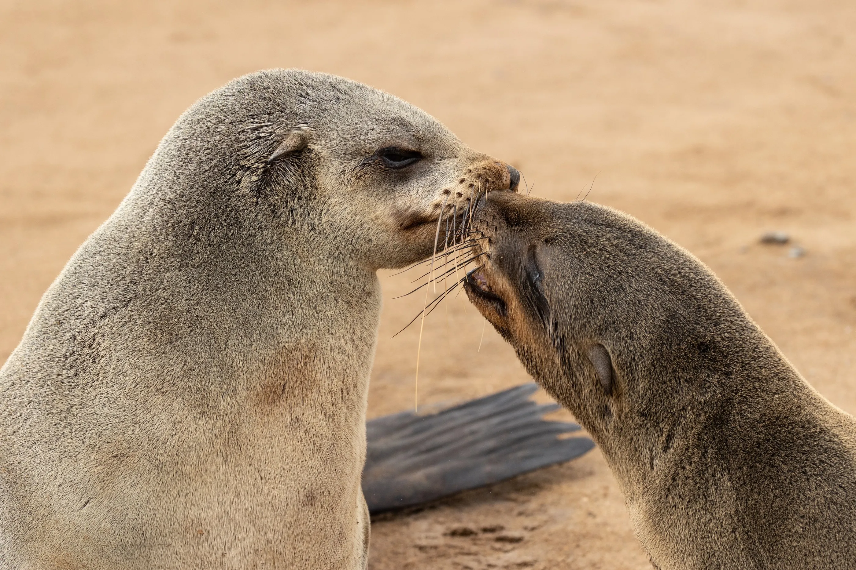
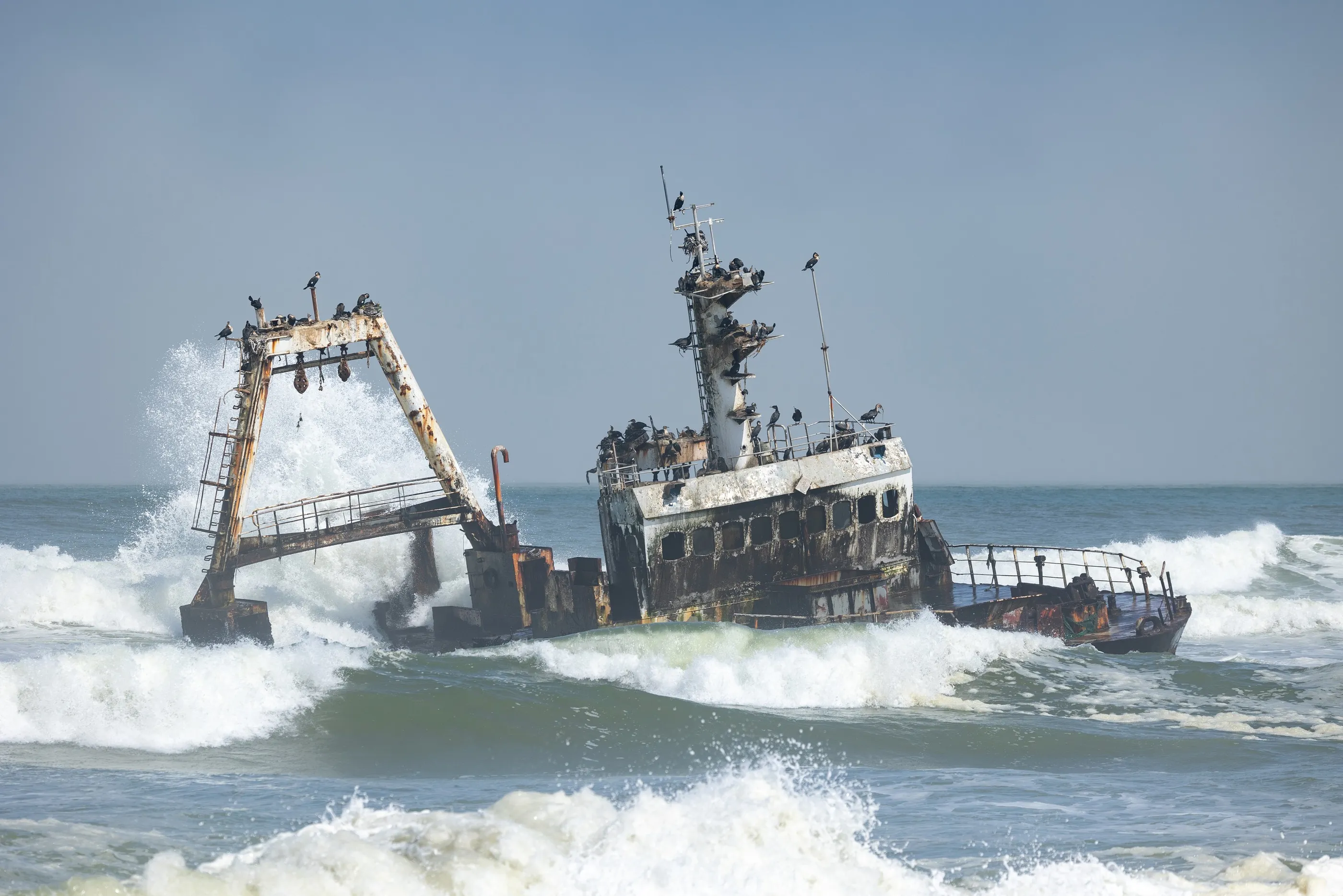
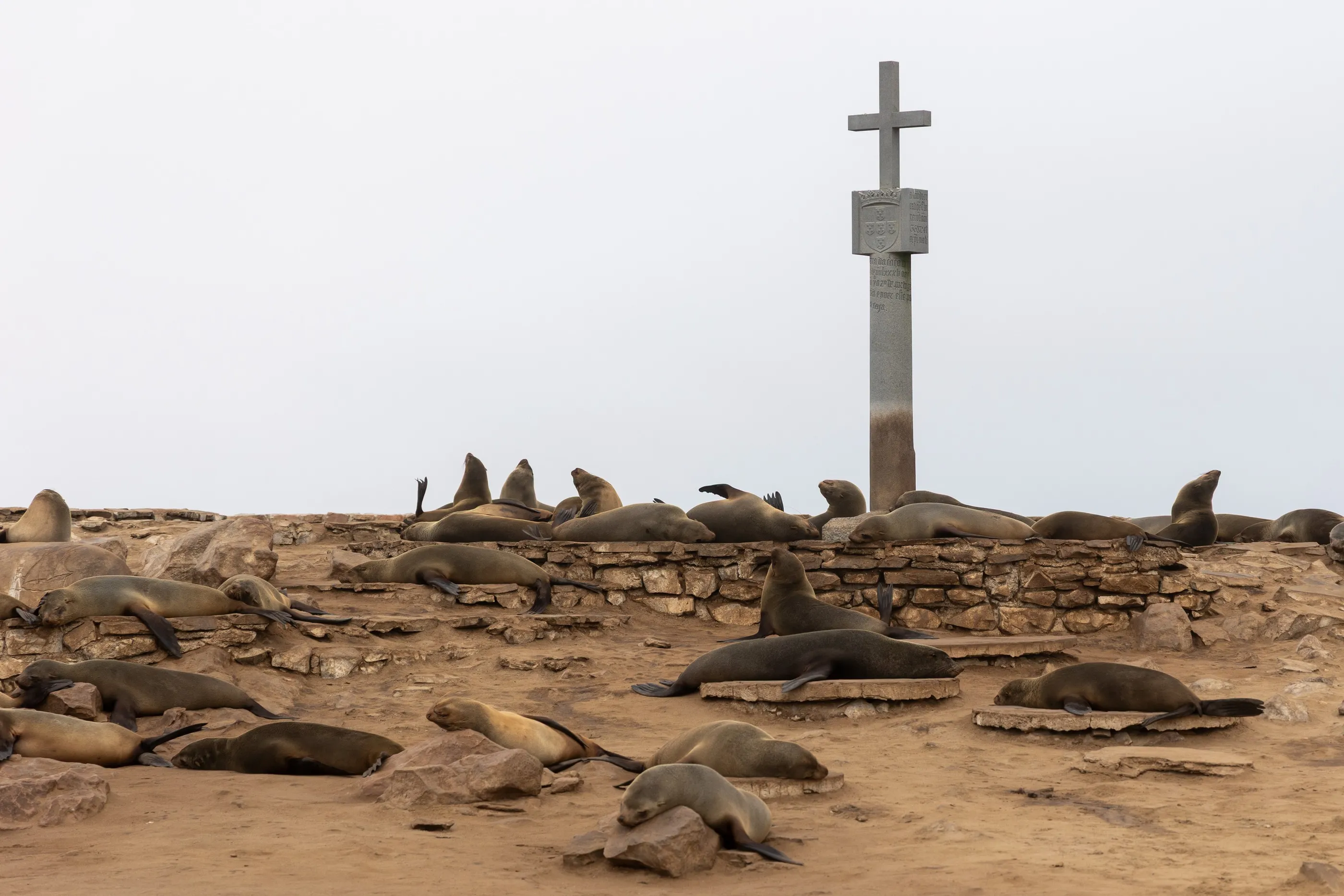
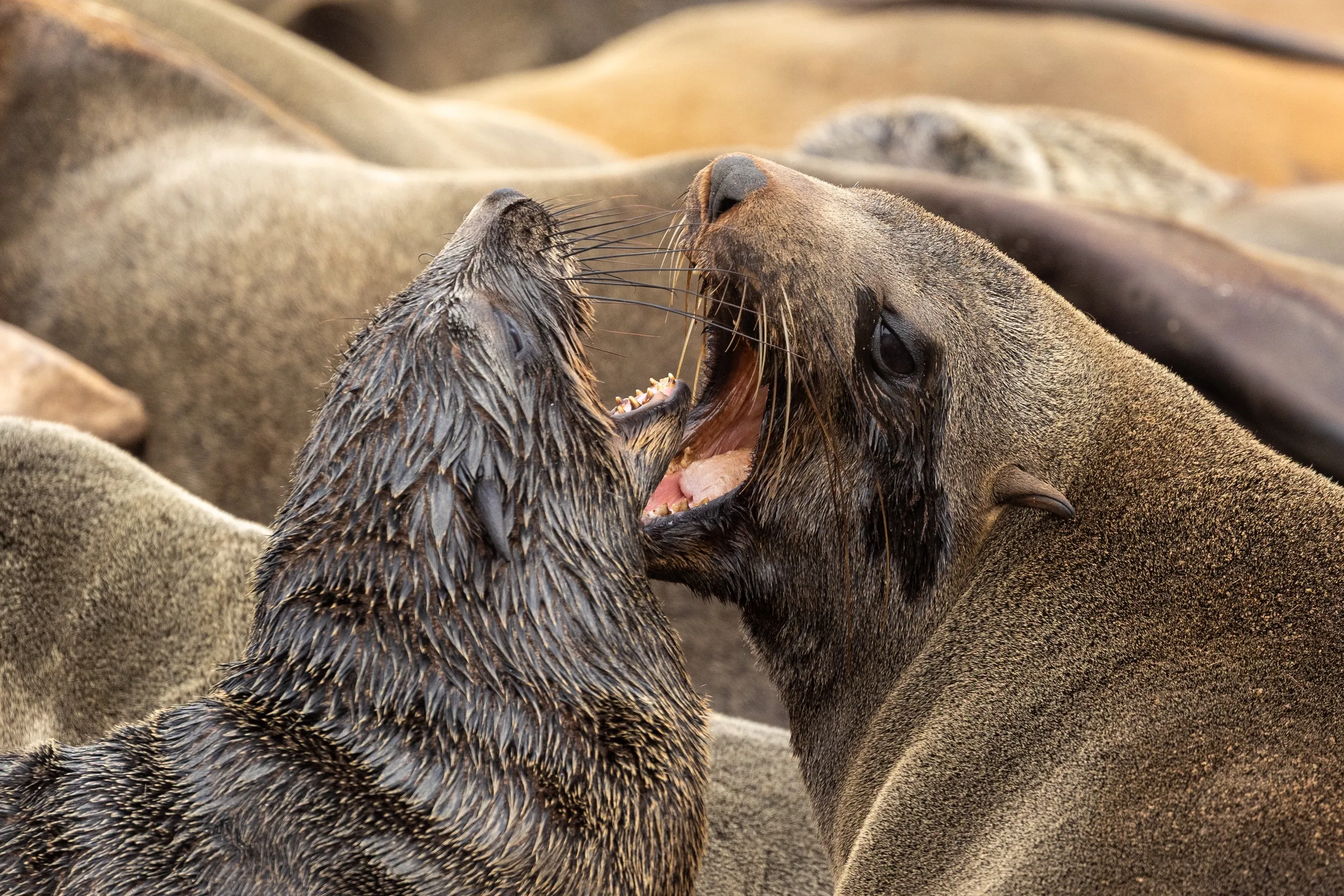
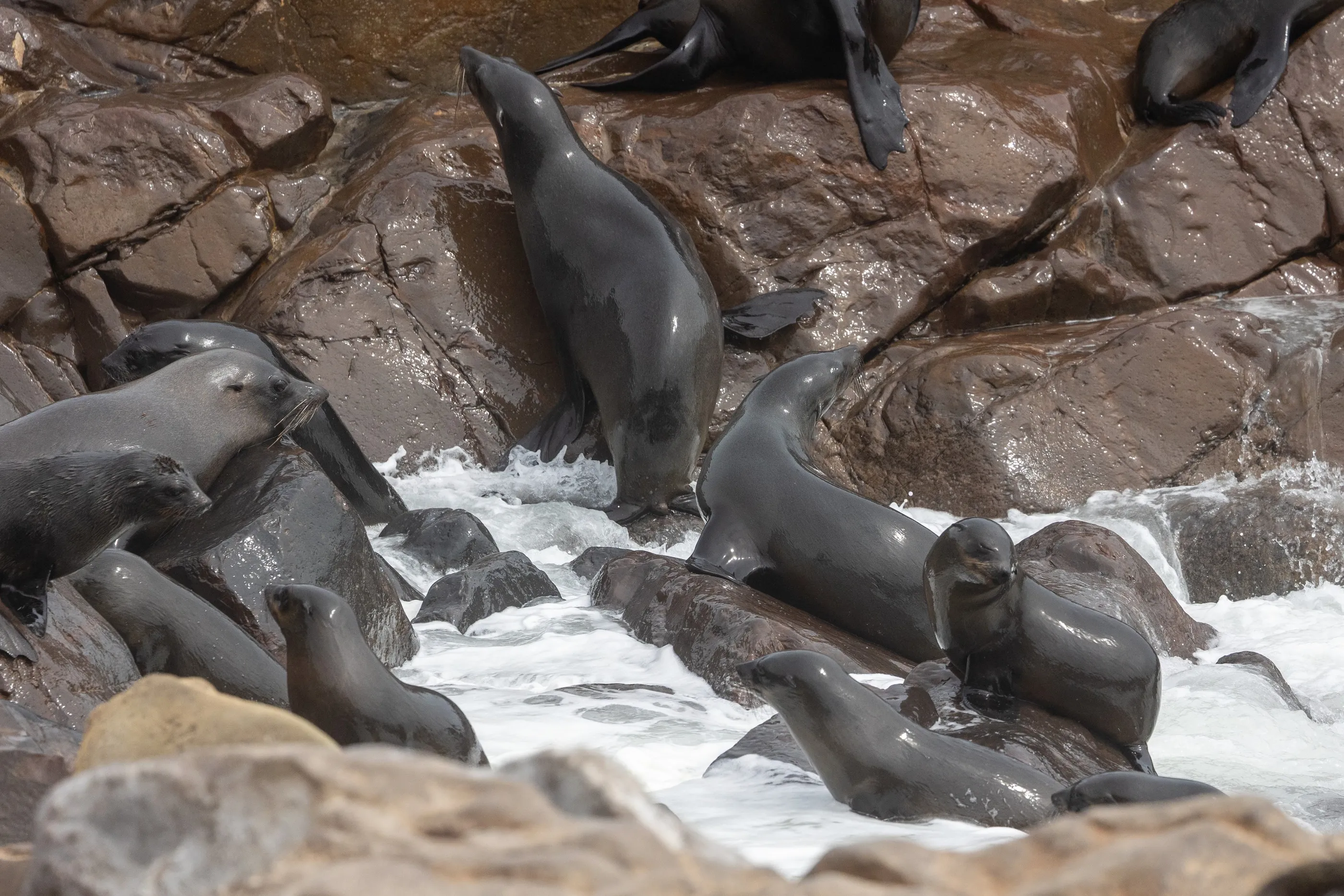
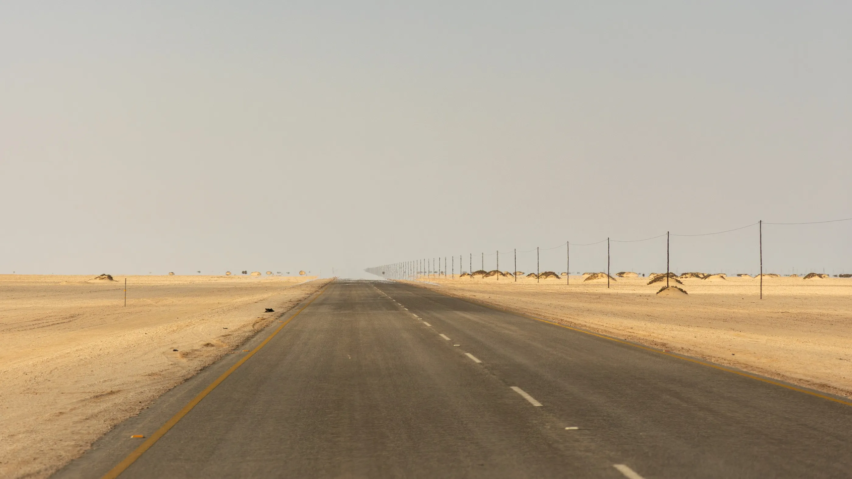
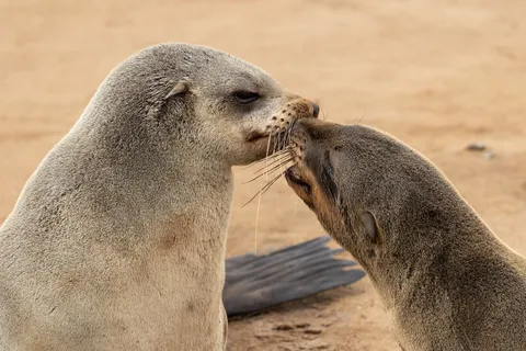
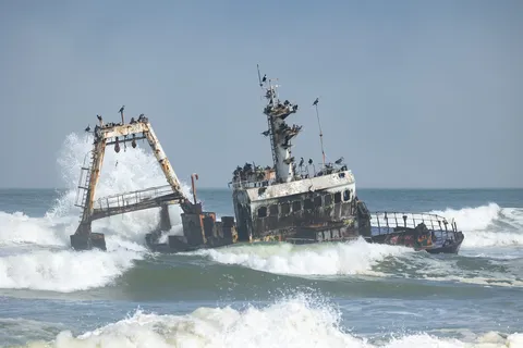
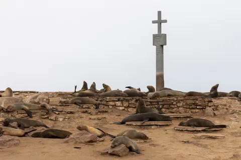
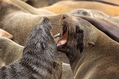
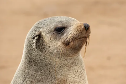
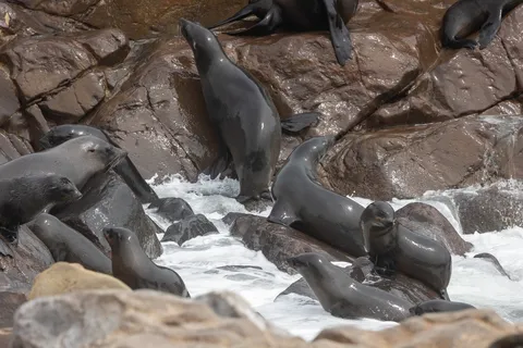
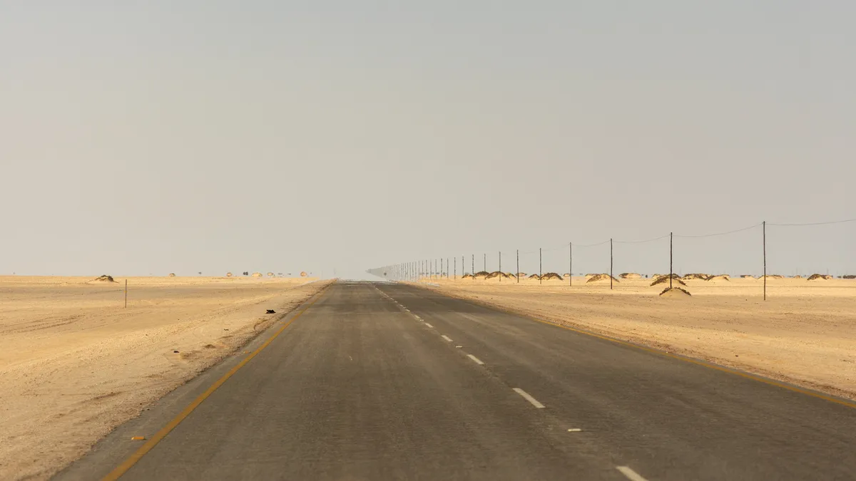
Along the Skeleton Coast, the wreck of the trawler Zeila is pounded by the waves while cormorants look on. At Cape Cross, where the Portuguese navigator Diogo Cão raised a stone padrão in 1486, a colony of Cape fur seals covers the beach by the thousands, in an unforgettable din — and smell. Then the road disappears into the haze, straight and empty.

By road↗ 95 km
Brandberg
Namibia
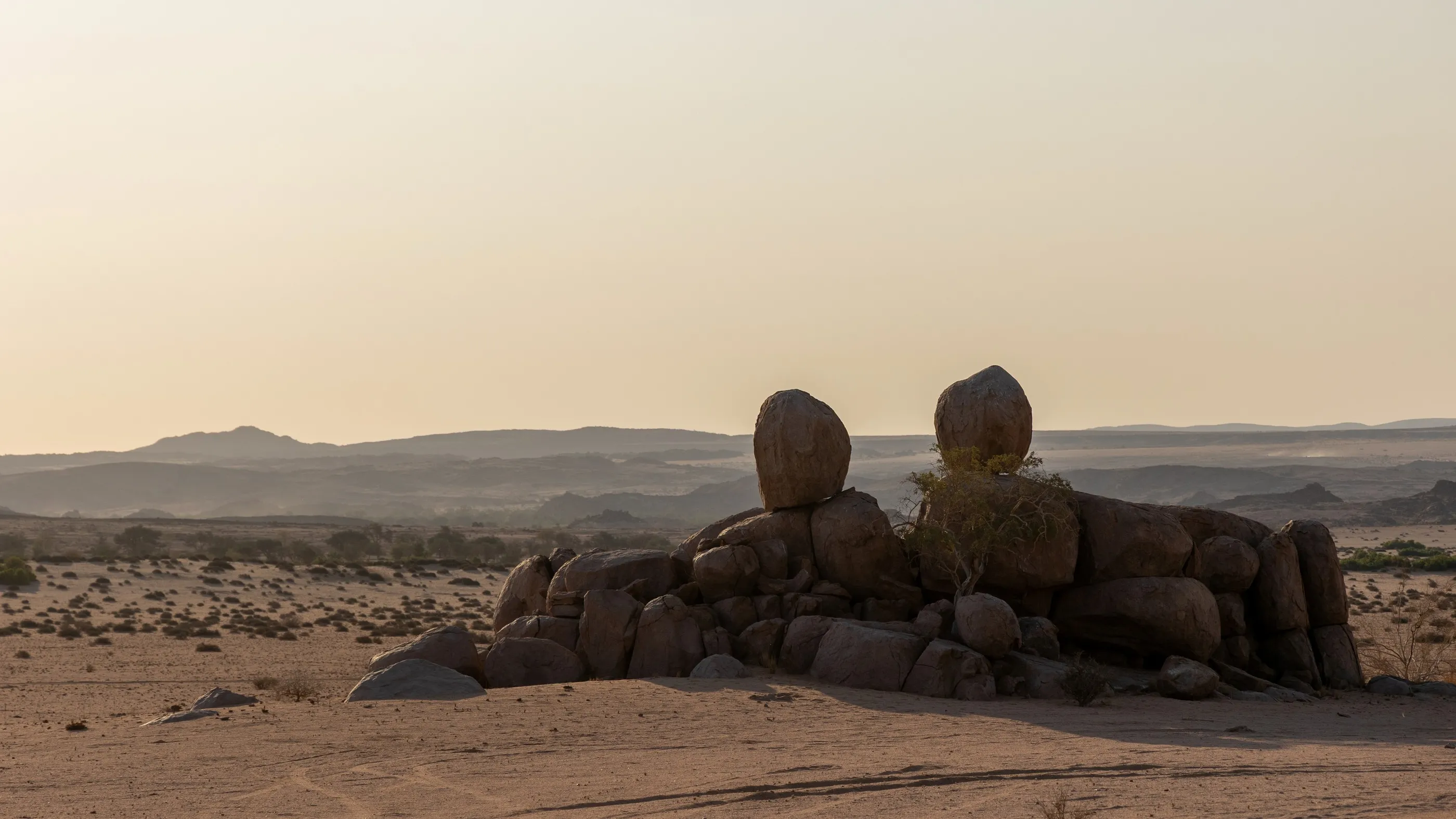
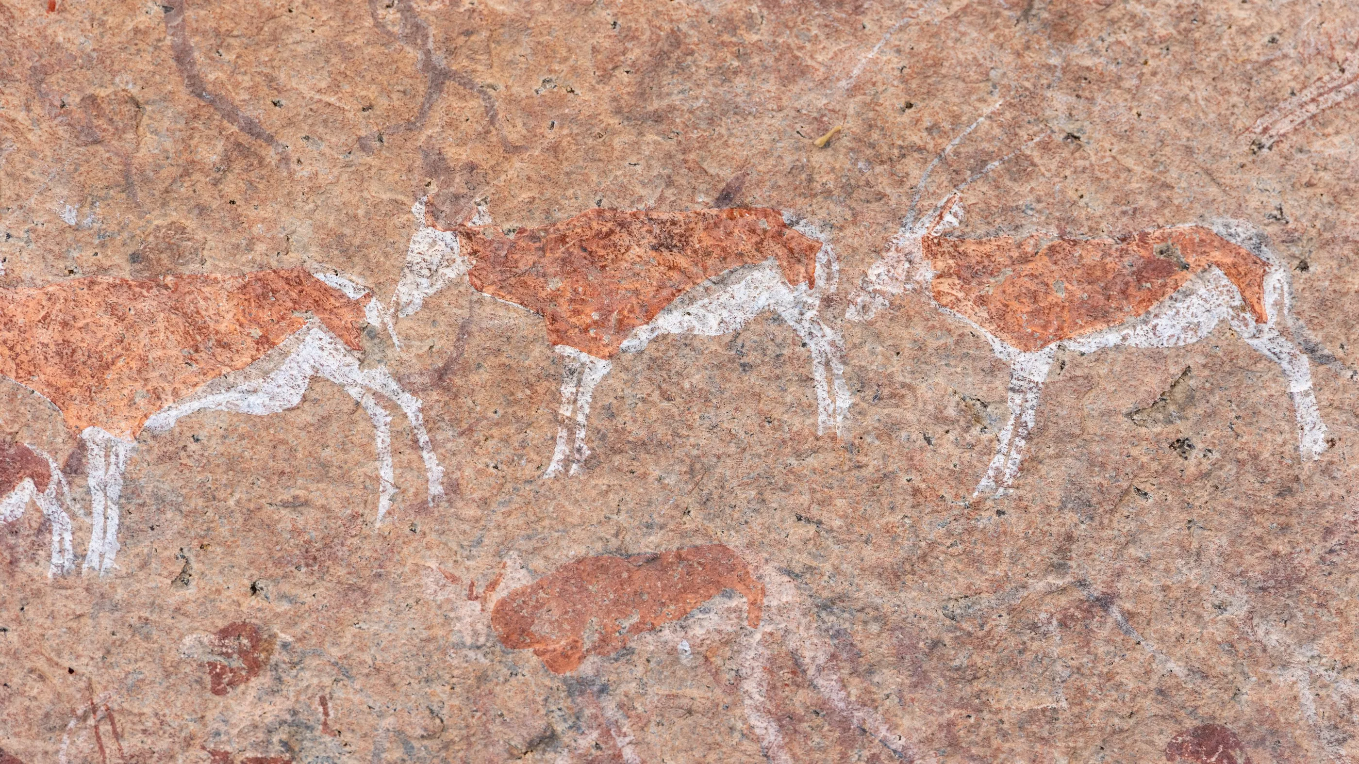
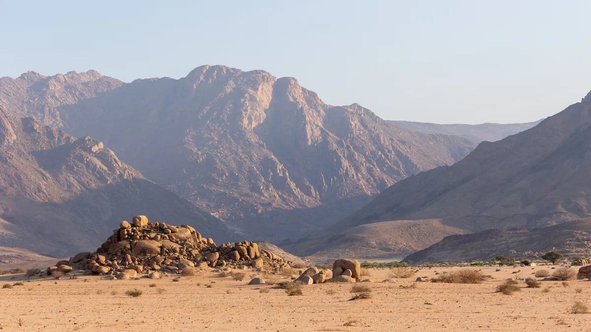
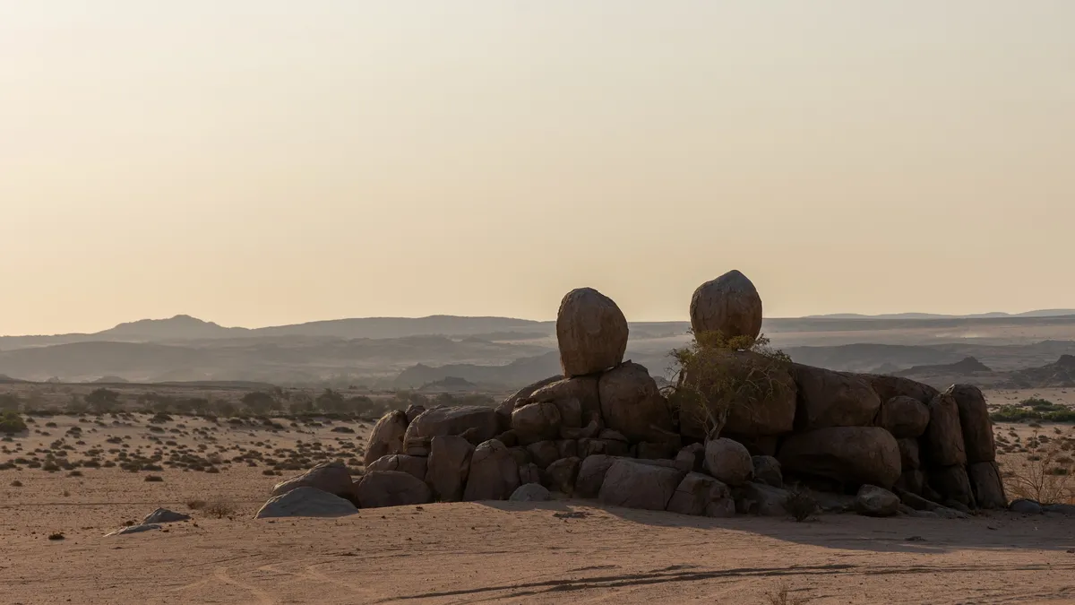
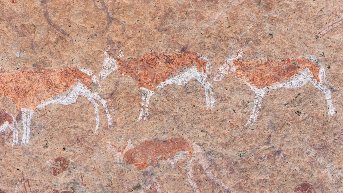
Leaving the coast, we enter Damaraland. The Brandberg massif, Namibia’s highest mountain, glows at sunset — hence its name, the ‘fire mountain’. In the morning, in its granite shelters, antelopes painted by the San have been crossing the rock in red and white processions for thousands of years.

By road↗ 65 km
Twyfelfontein
Namibia
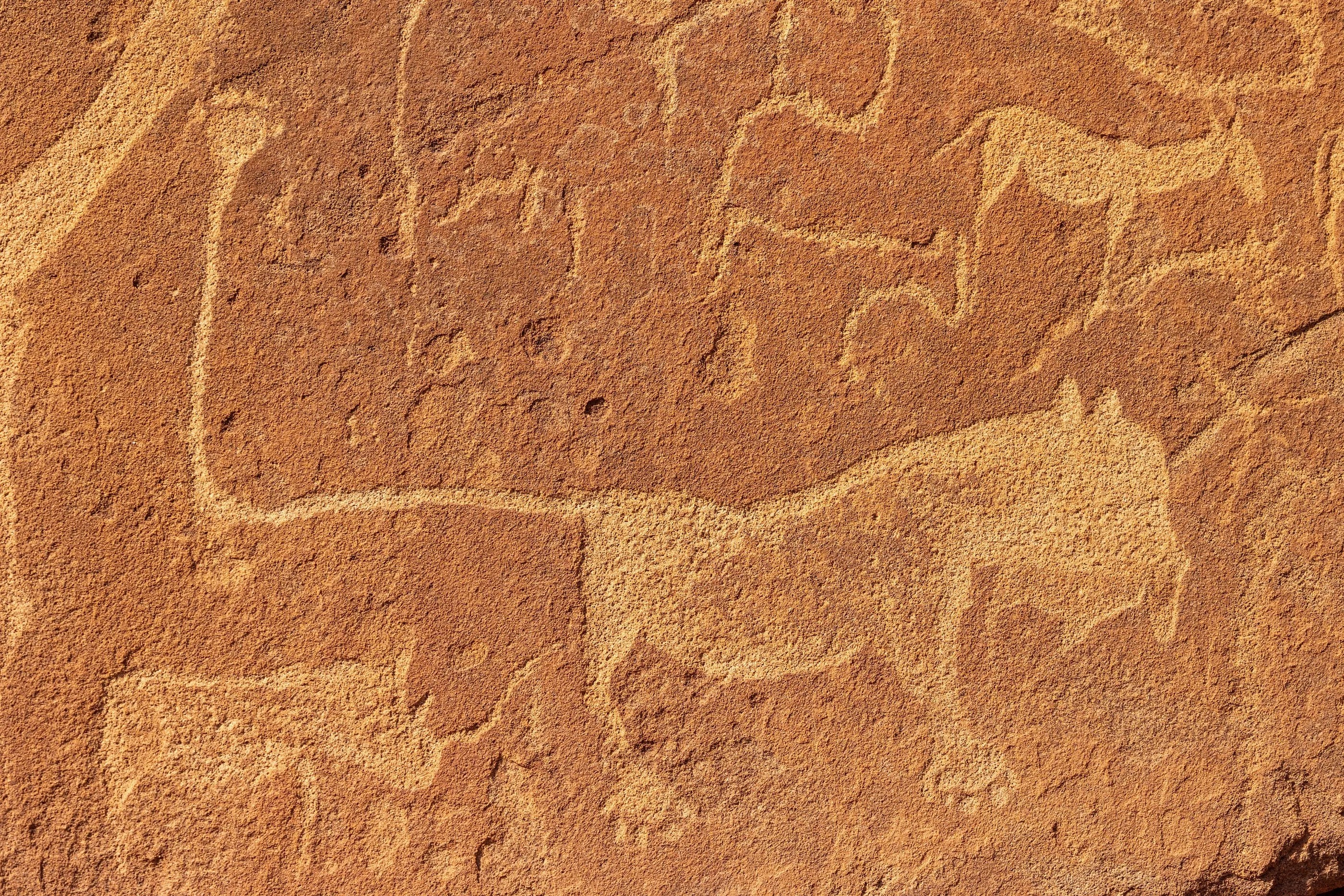
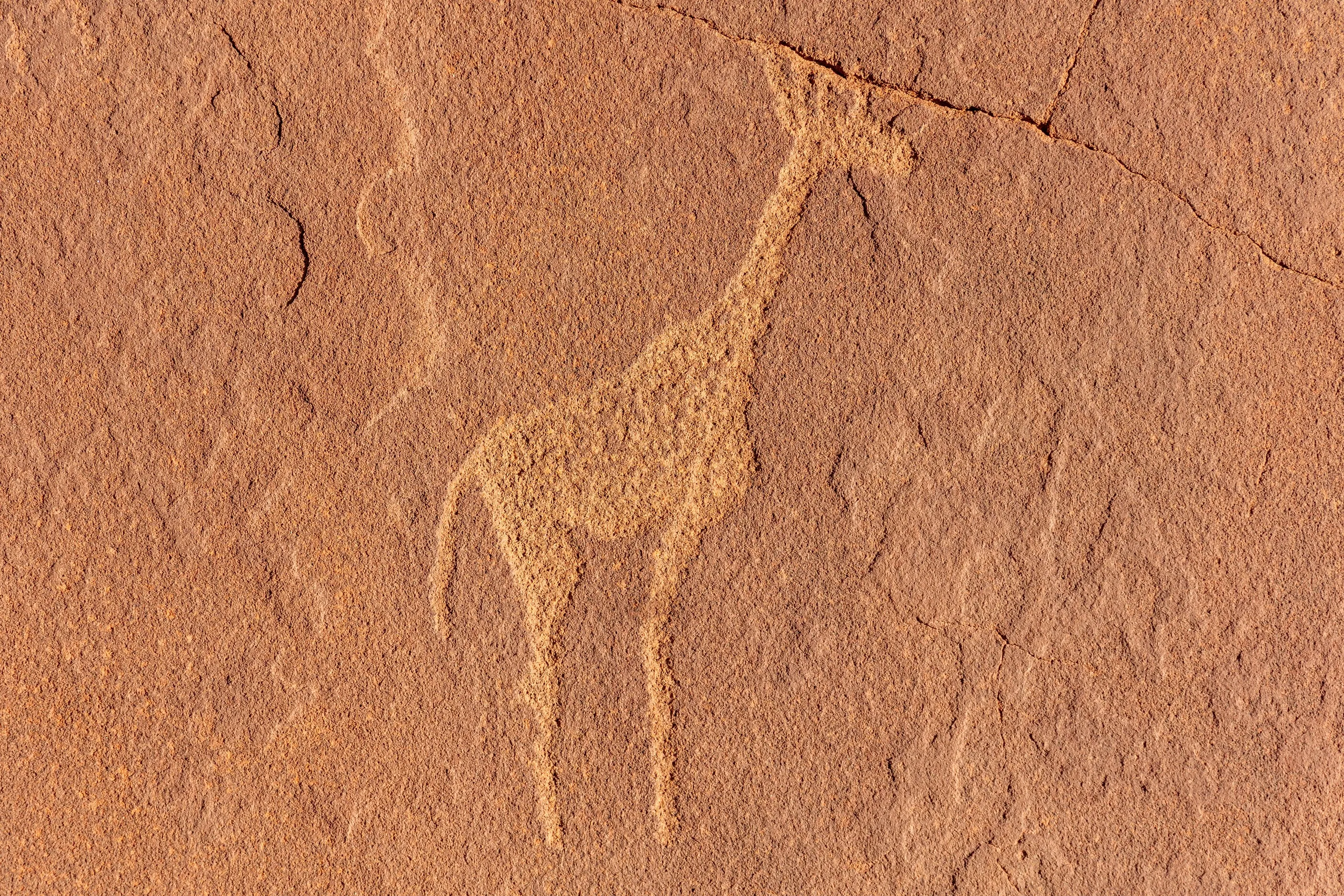
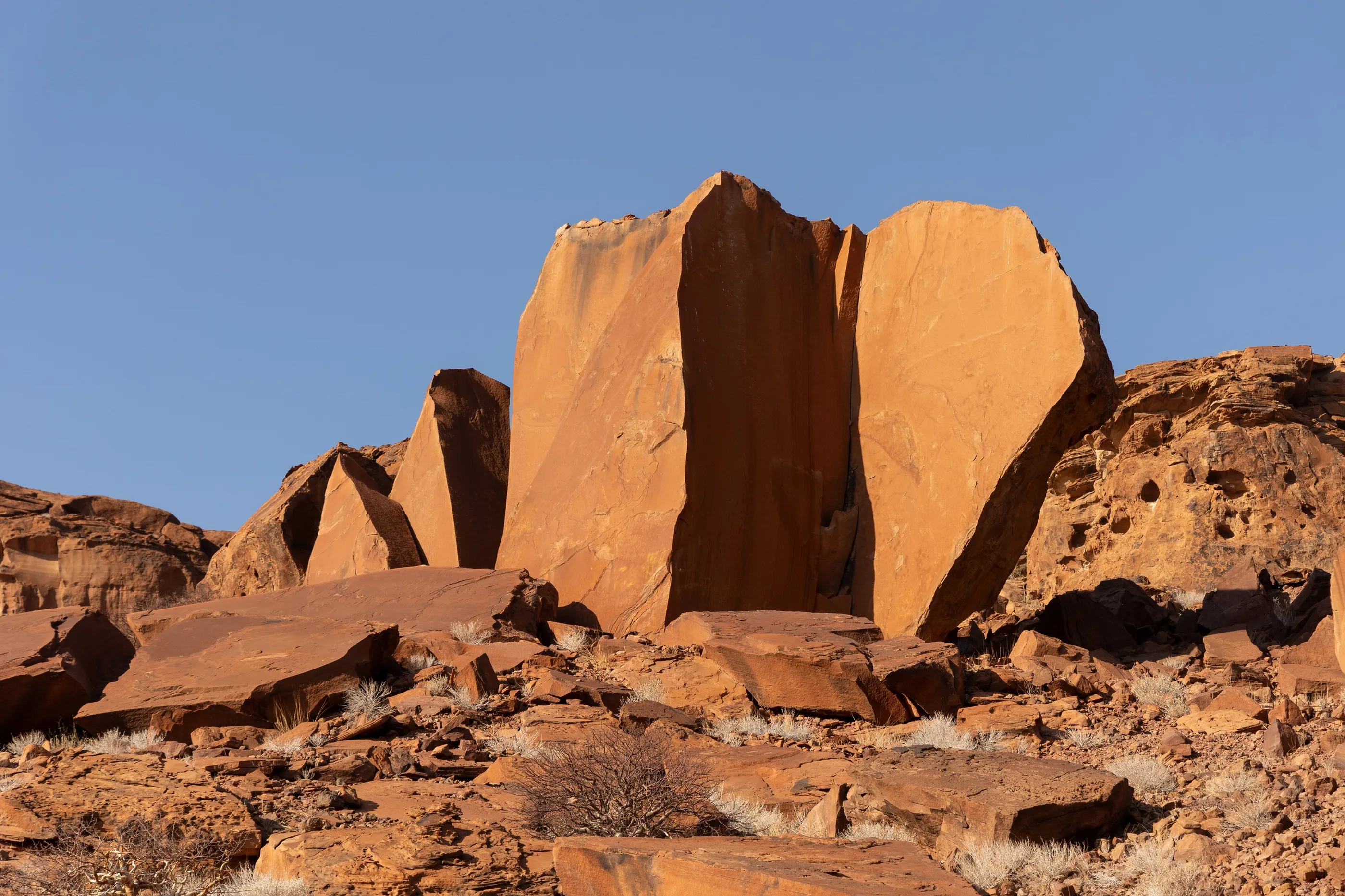
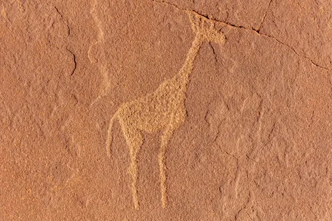
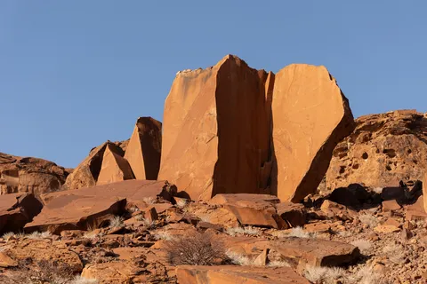
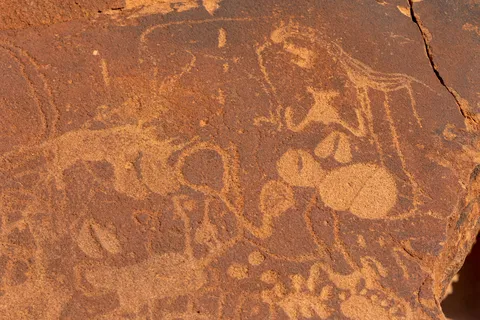
At Twyfelfontein, a World Heritage site, more than two thousand rock engravings cover the red sandstone slabs: giraffes, rhinos, footprints, and the famous lion with an endless tail ending in a paw print. Schools for hunters, some say: a map of the animal world, carved where water could be found.


By road↗ 9 km
Desert elephants, Damaraland
Namibia
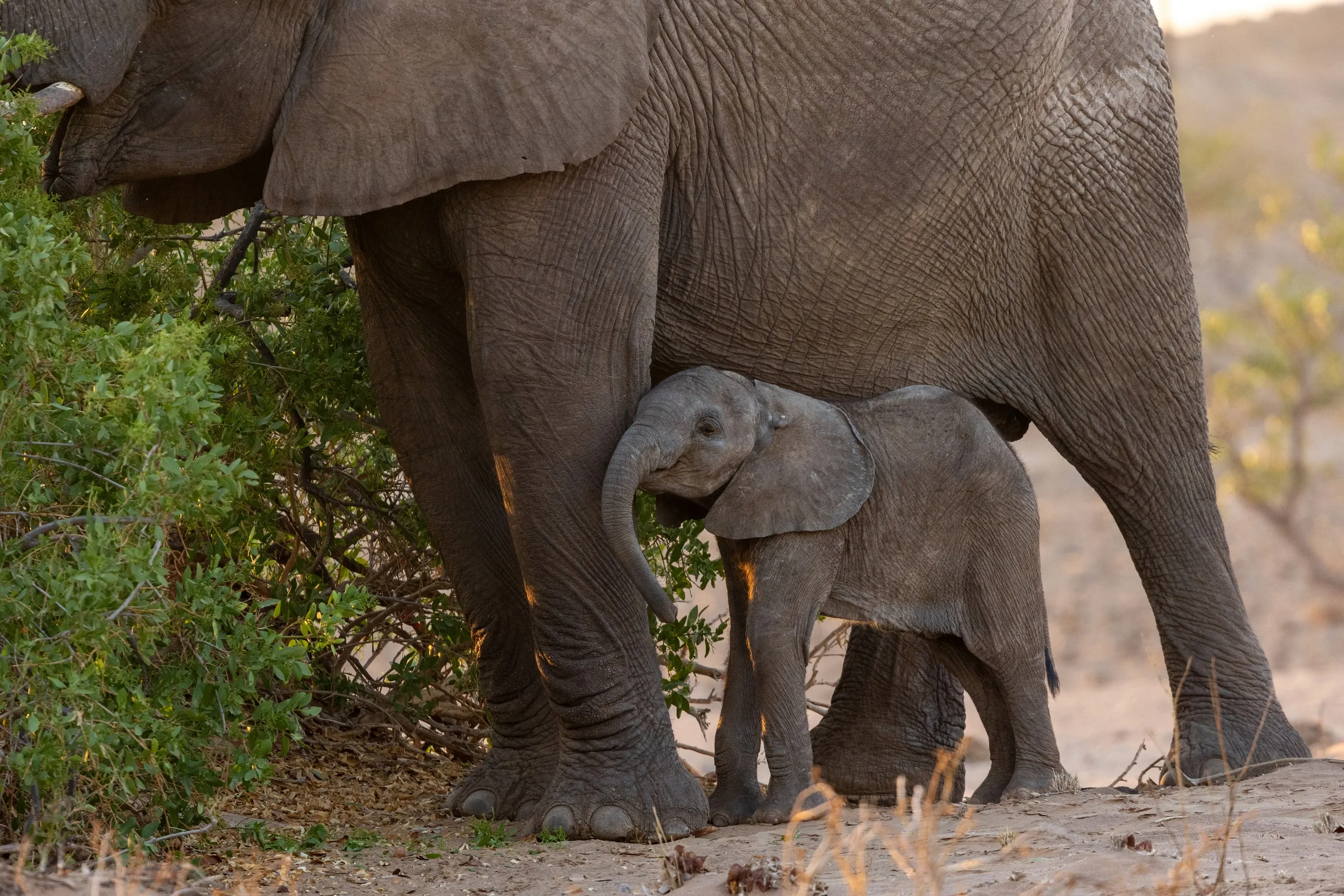
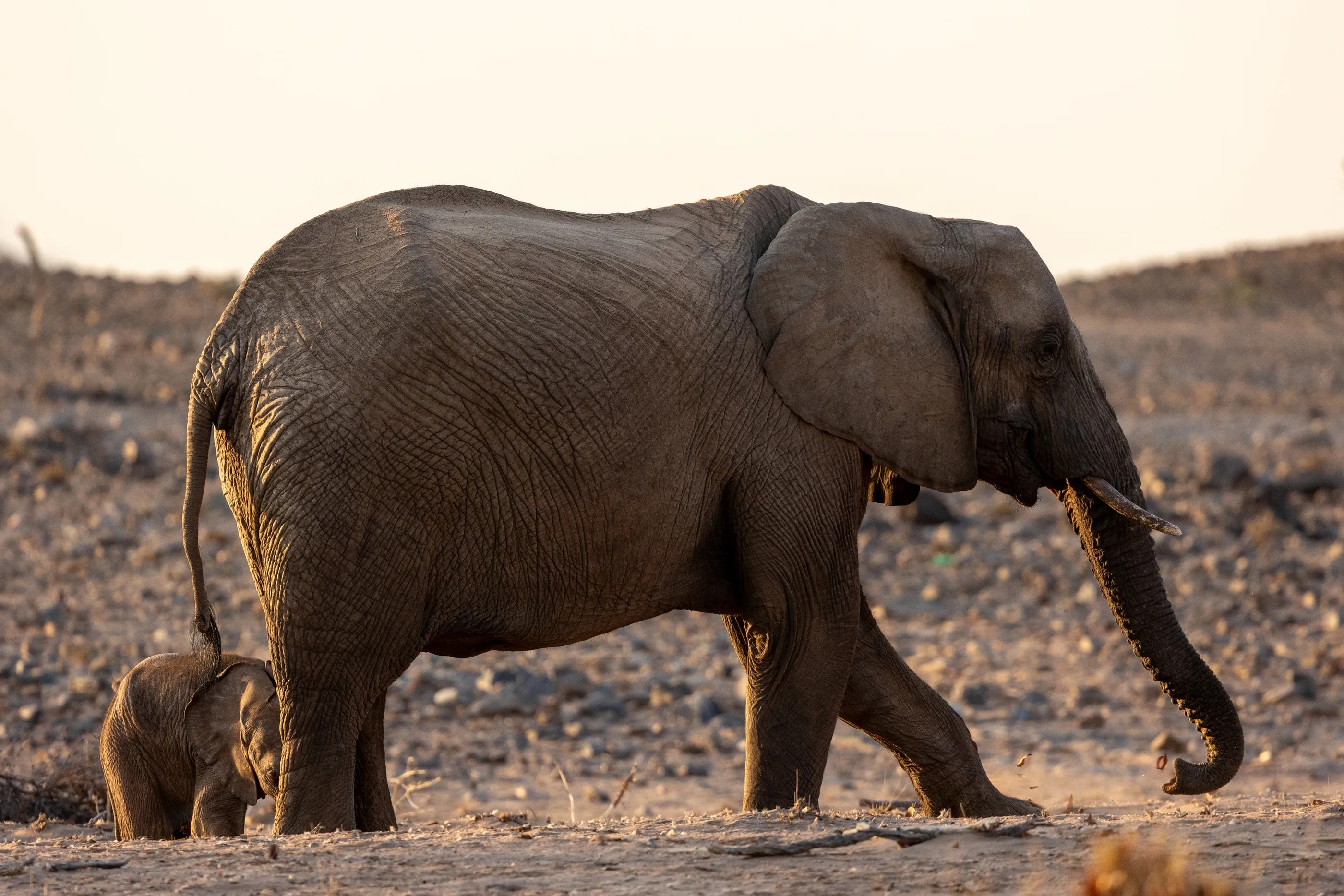
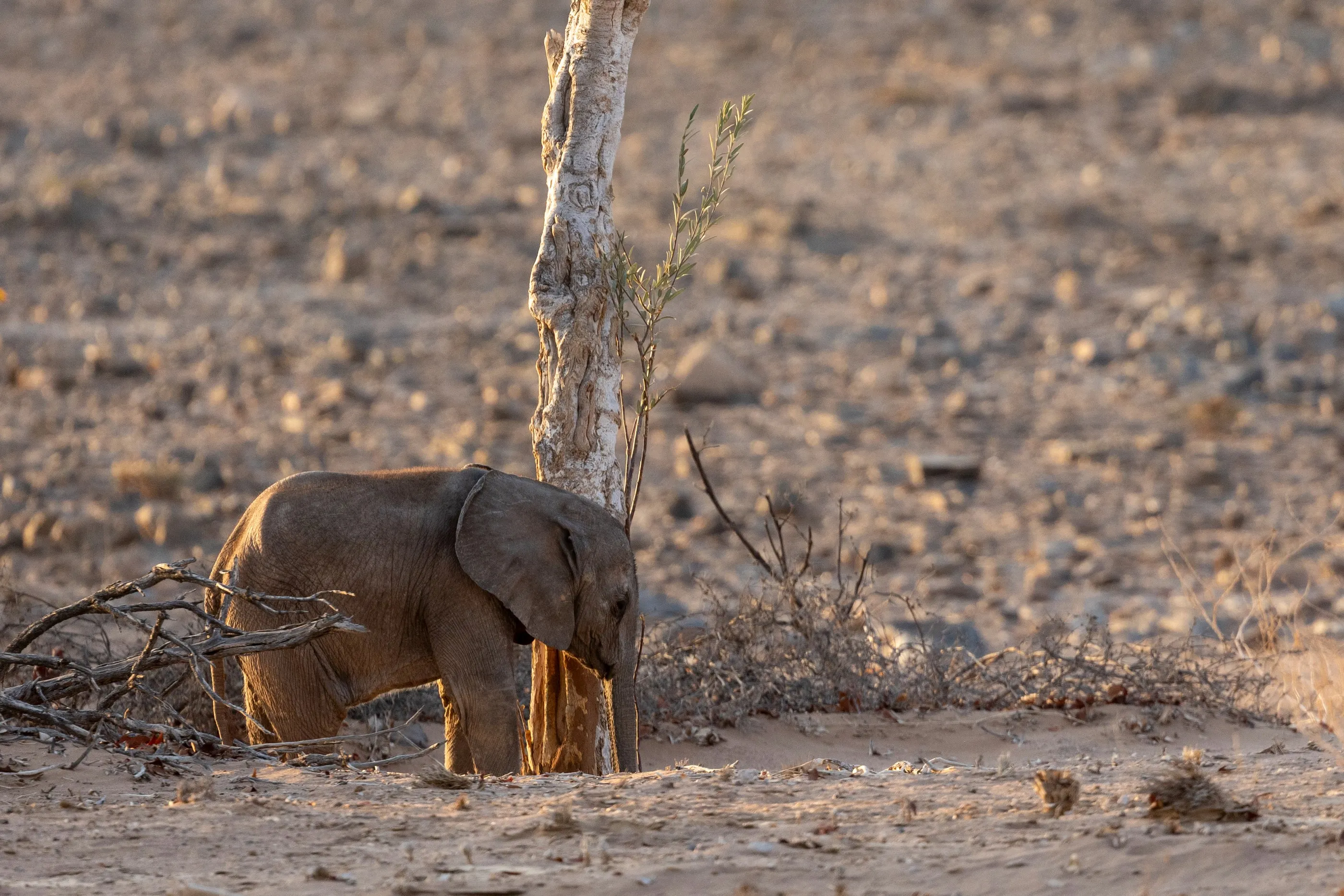
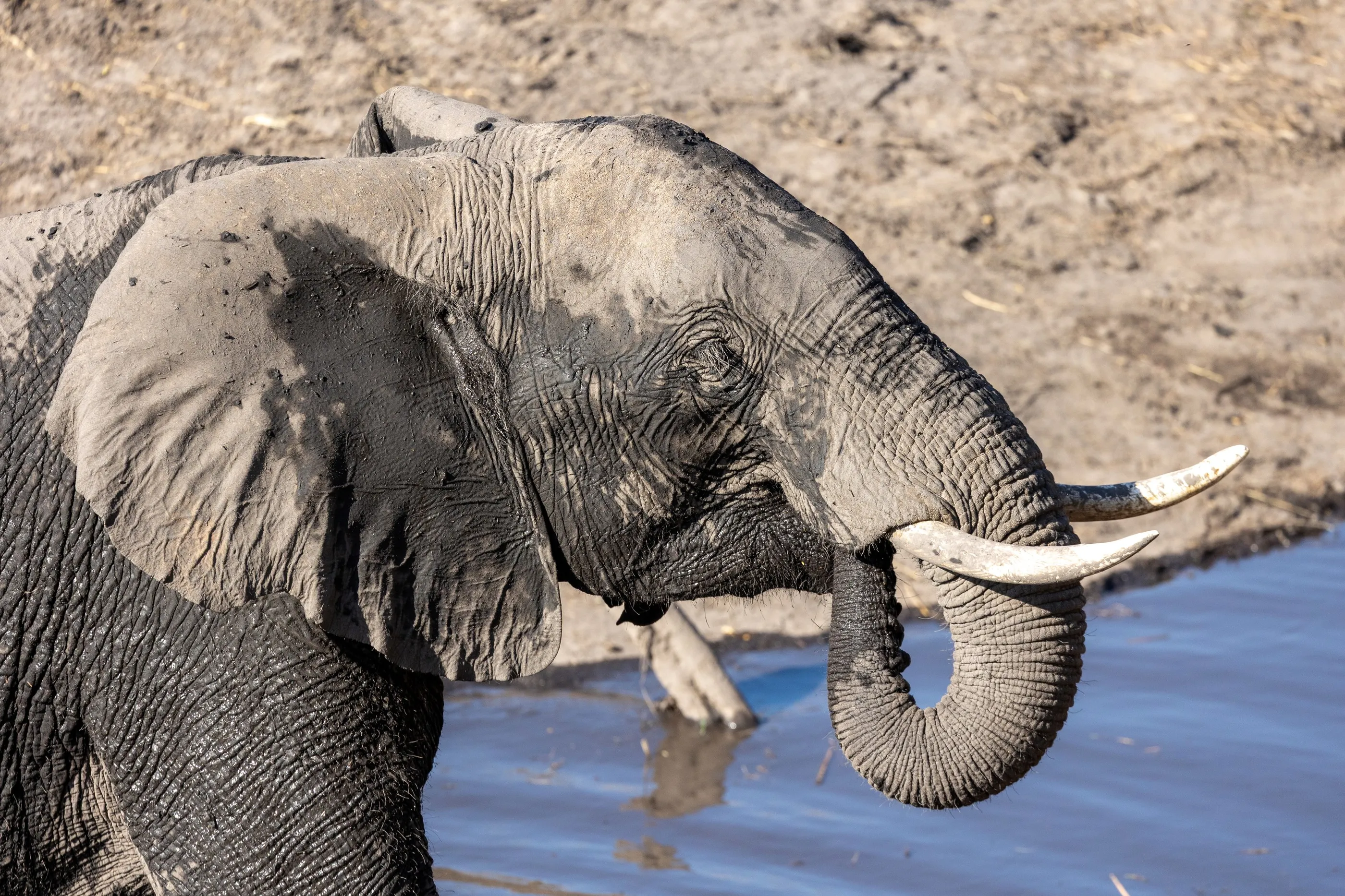
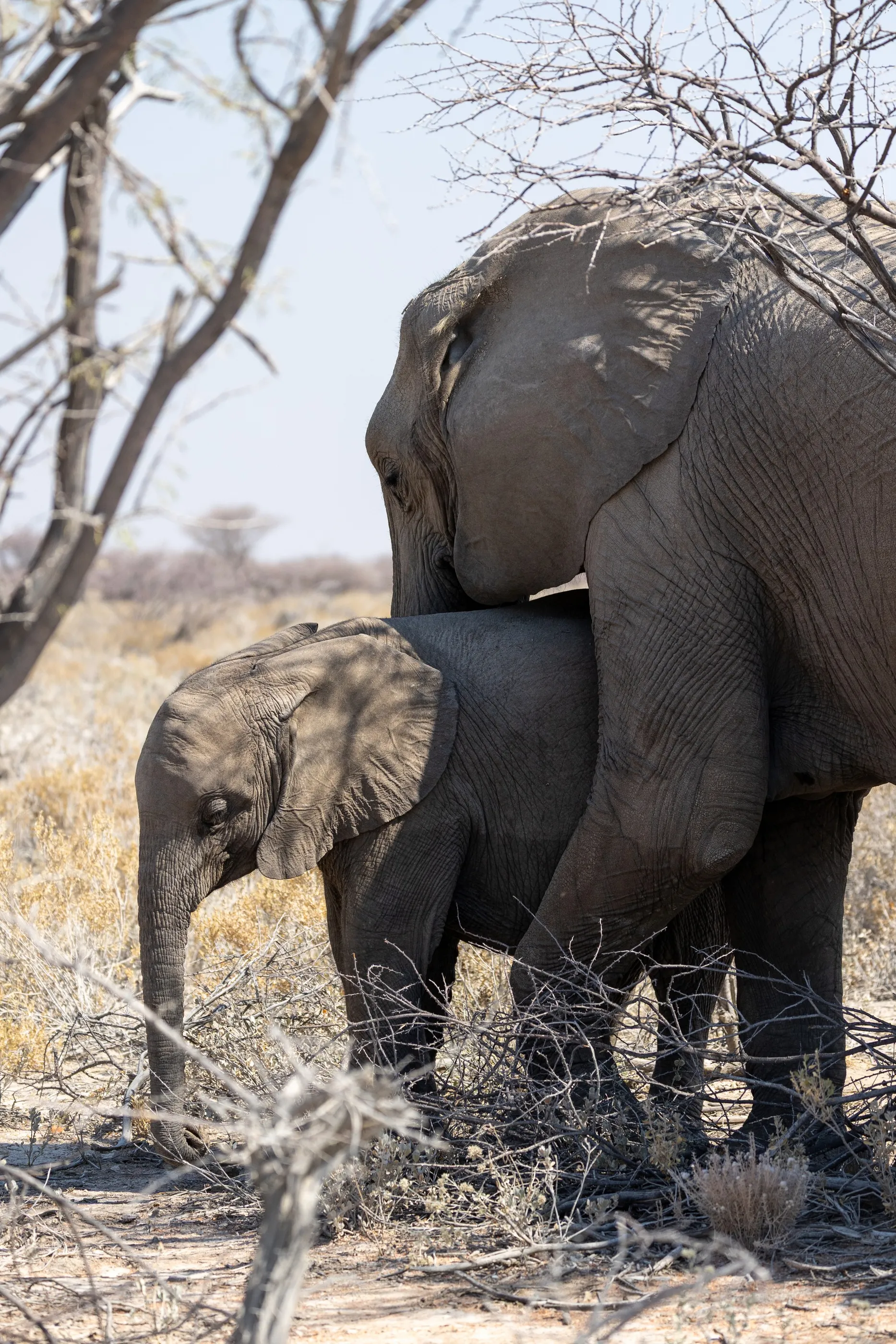
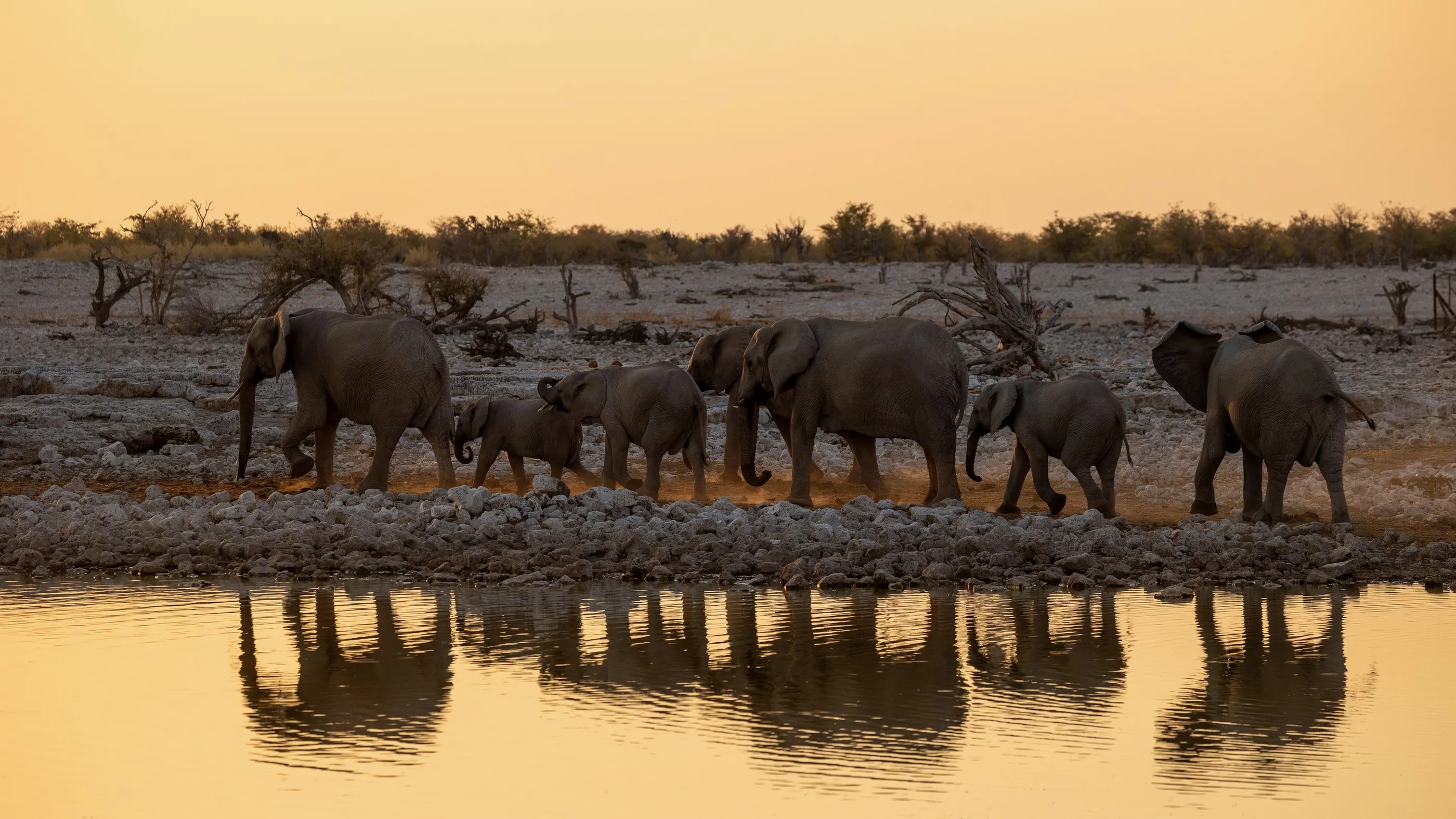
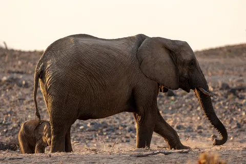
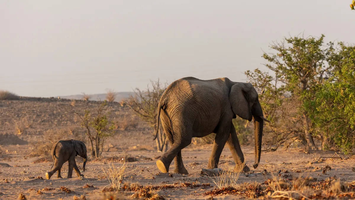
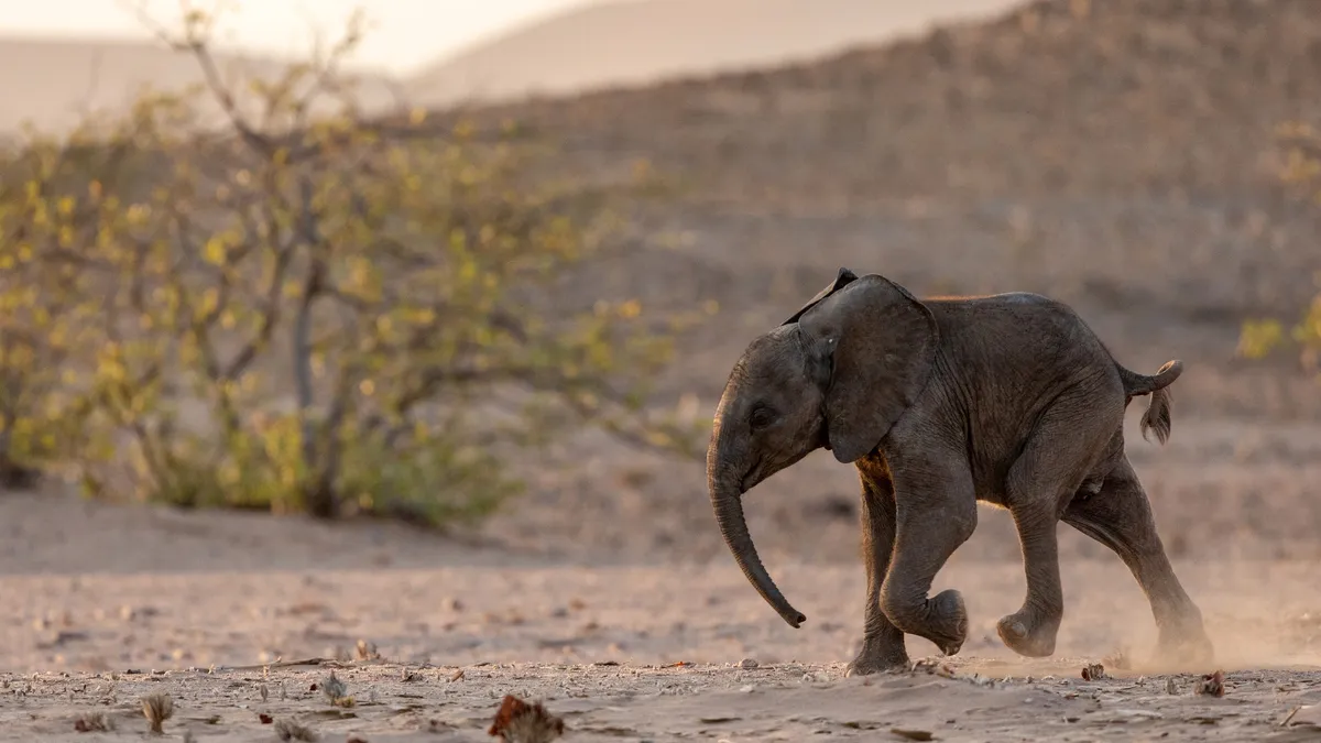
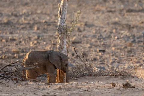
In the dry riverbeds of Damaraland live desert-adapted elephants, able to walk dozens of kilometres in search of water. A family browses the acacias in golden light; a calf runs through the dust before taking shelter beneath its mother. Here, part of the wildlife is managed by community conservancies: tourism directly funds the coexistence between villagers and wild animals.



By road↗ 390 km
From the Petrified Forest to the Hoba meteorite
Namibia
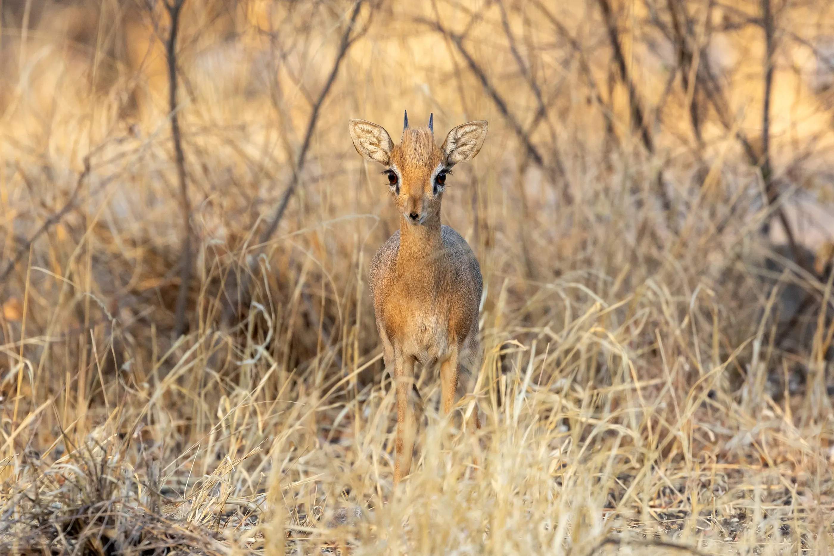
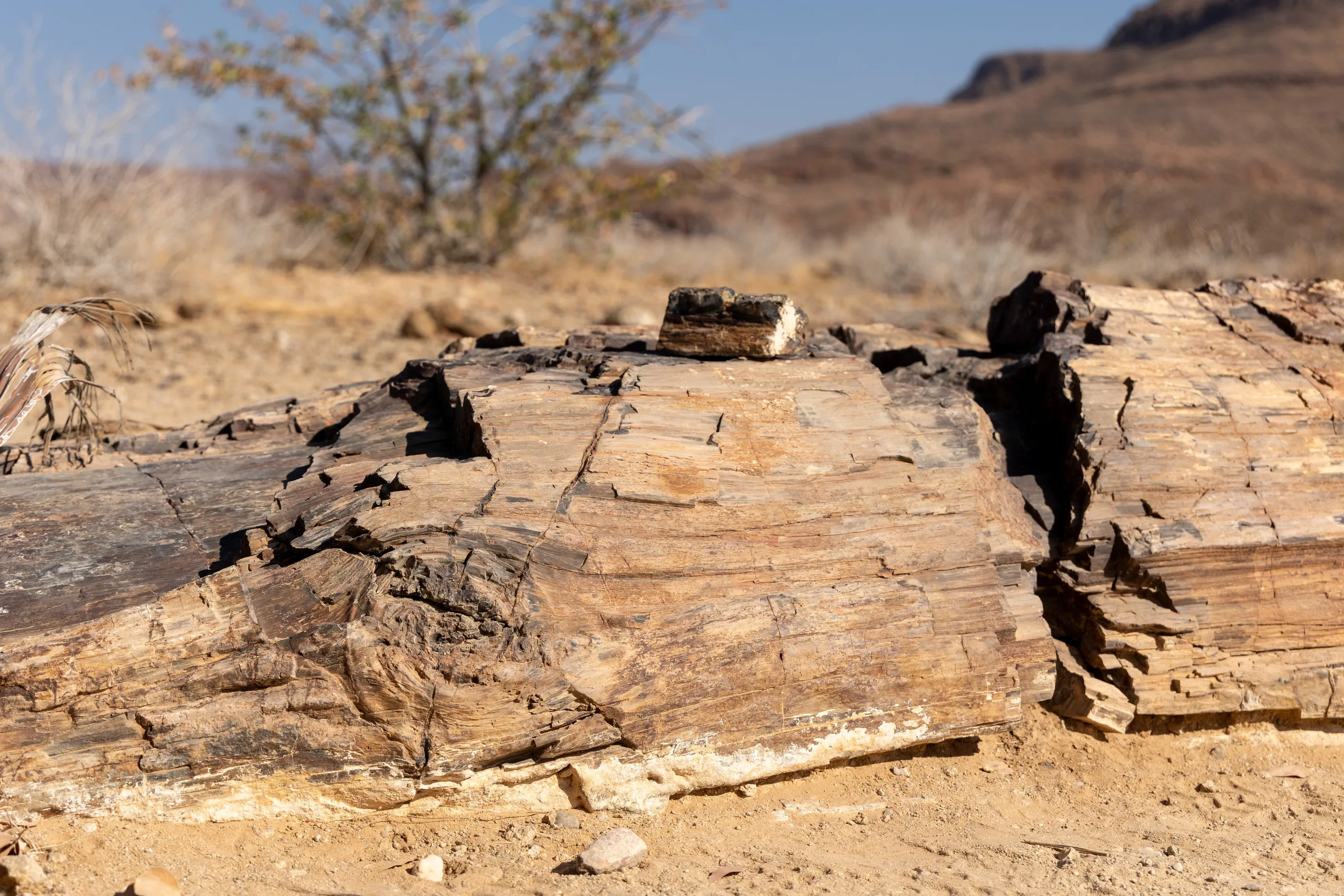
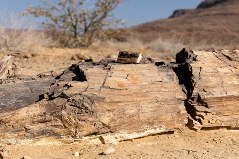
A long day’s drive east. Near Khorixas, tree trunks fossilised some two hundred and eighty million years ago lie on the bare ground; near Grootfontein, the Hoba meteorite, more than sixty tonnes of iron, has never moved since it fell. In the evening, a dik-dik watches us from the dry grass.


By road↗ 604 km
Kavango and the Caprivi Strip
Namibia
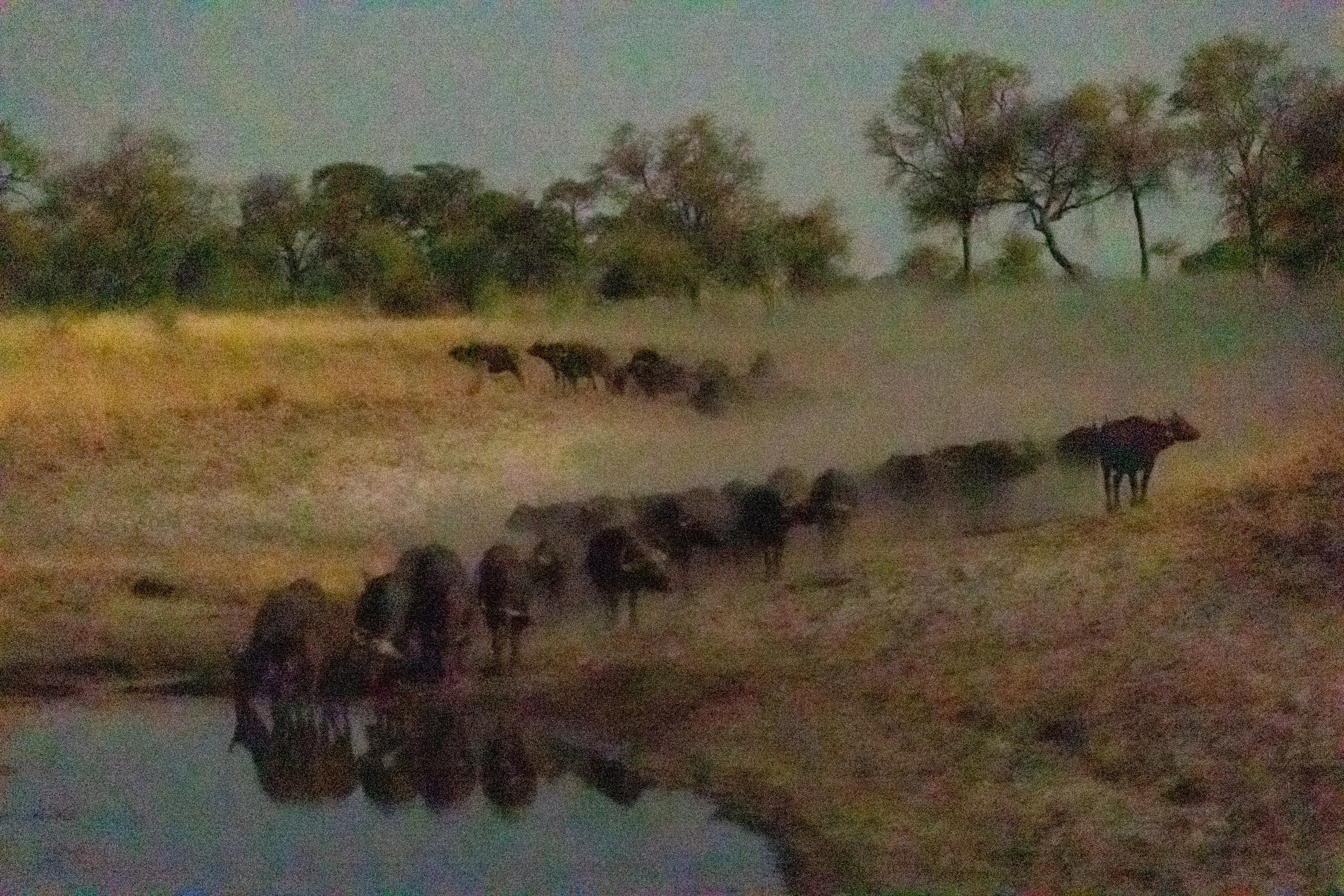
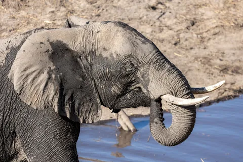
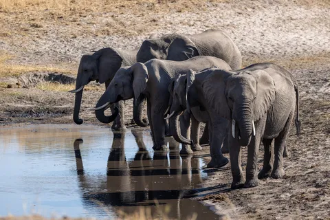
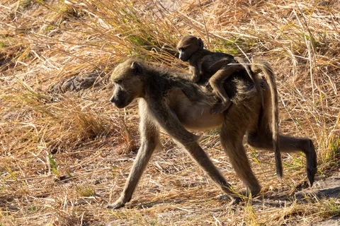
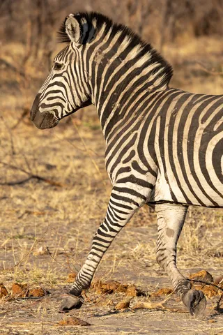
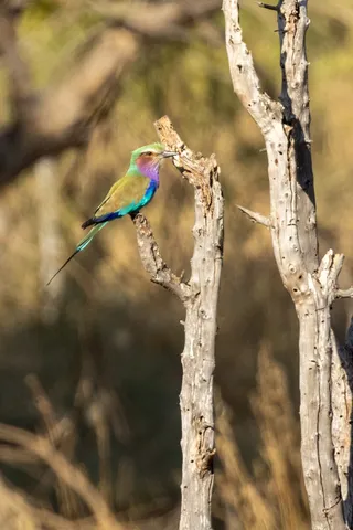
Heading north-east, the desert gives way to wooded savannah and the villages of Kavango, where herds come home through the dust. The Caprivi Strip, a narrow corridor born of an 1890 treaty between Germany and Britain, reaches between Angola, Zambia and Botswana. Bwabwata National Park covers much of it: elephants, zebras, buffalo and baboons take turns at the waterholes.


By road↗ 12 km
Bwabwata, Kwando riverfront
Namibia
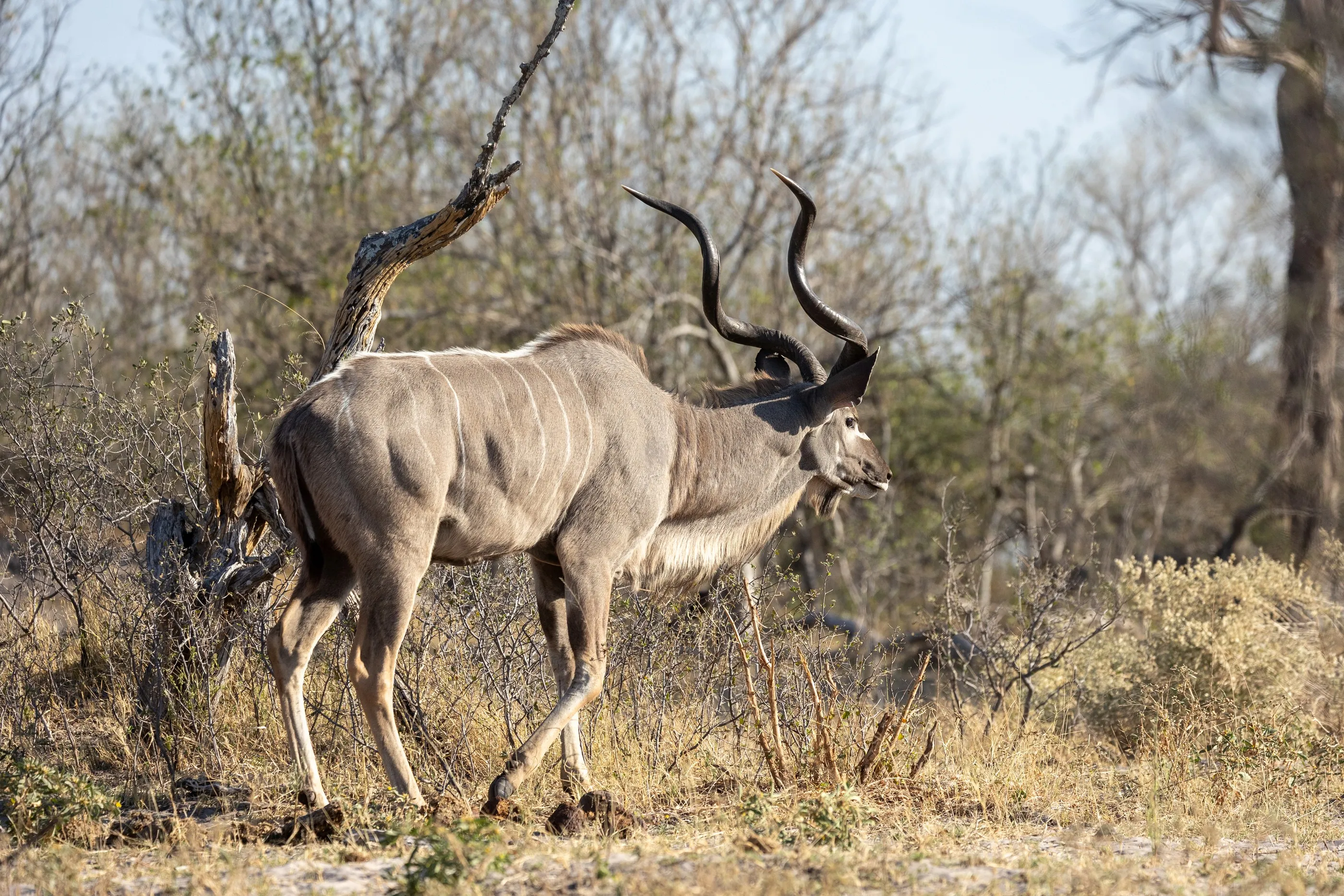
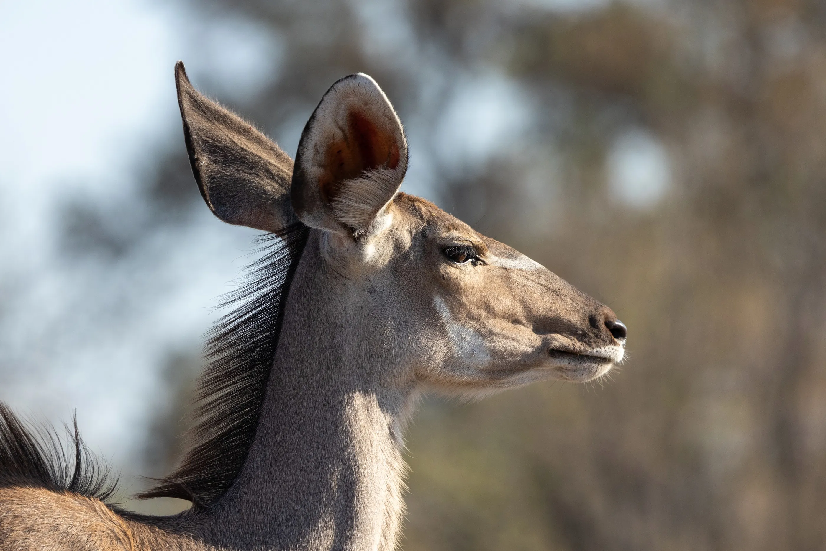
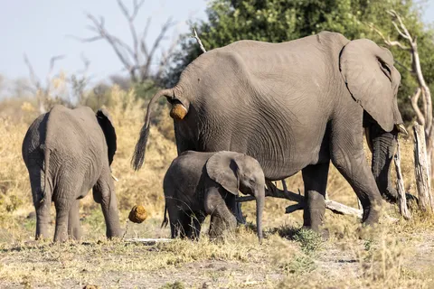
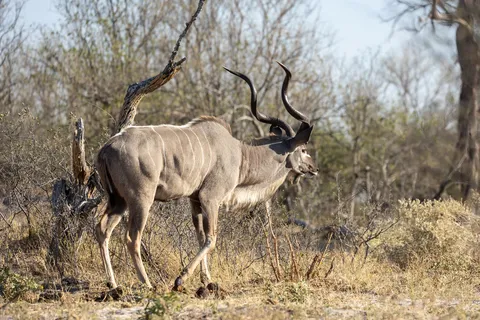
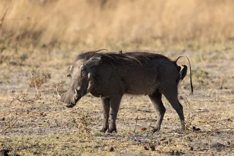
A last day in Bwabwata National Park, on the Kwando side, where the river spreads into channels and floodplains. On a game drive: elephant families, greater kudu with spiralling horns, impala, wildebeest, hippos in the channels and red lechwe in the flooded grass. An unusual park, where communities still live among the wildlife.
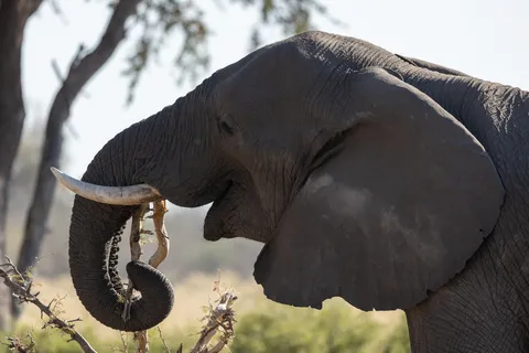
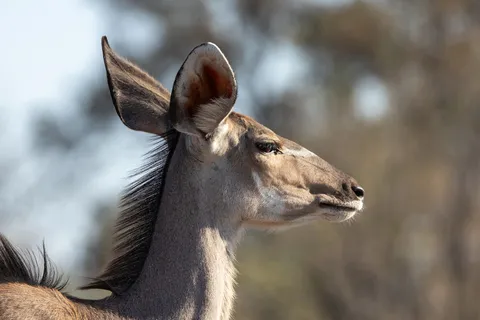
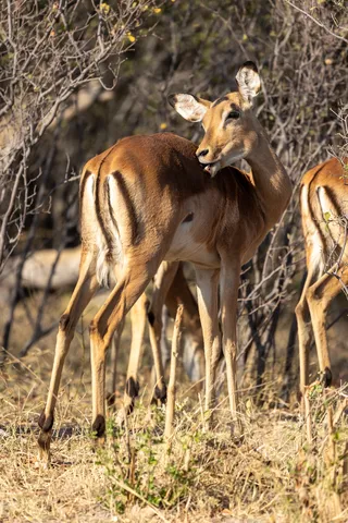
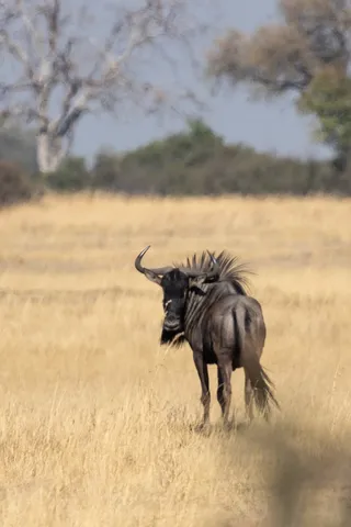
By road↗ 271 km
Victoria Falls (Zimbabwe)
Zimbabwe
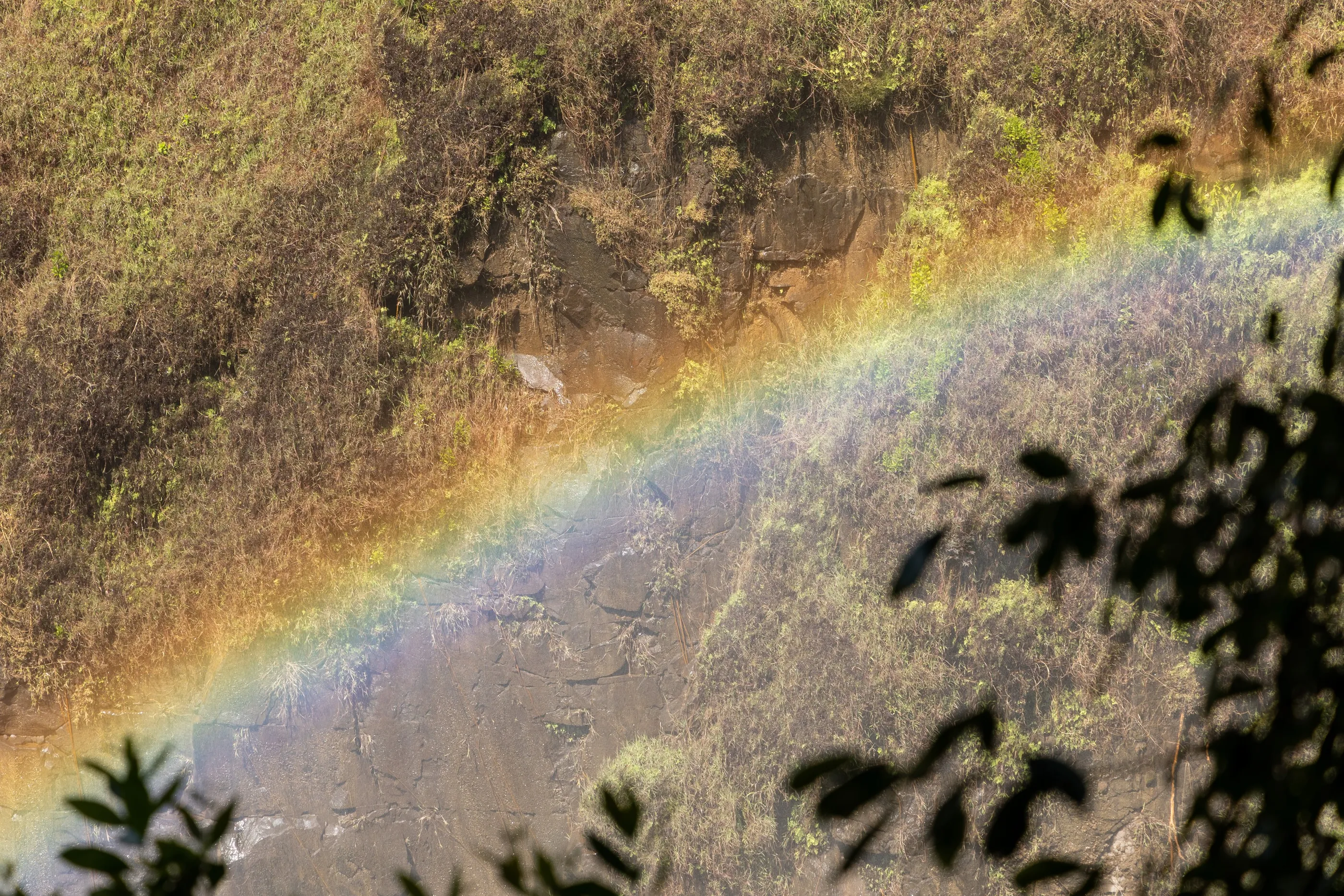
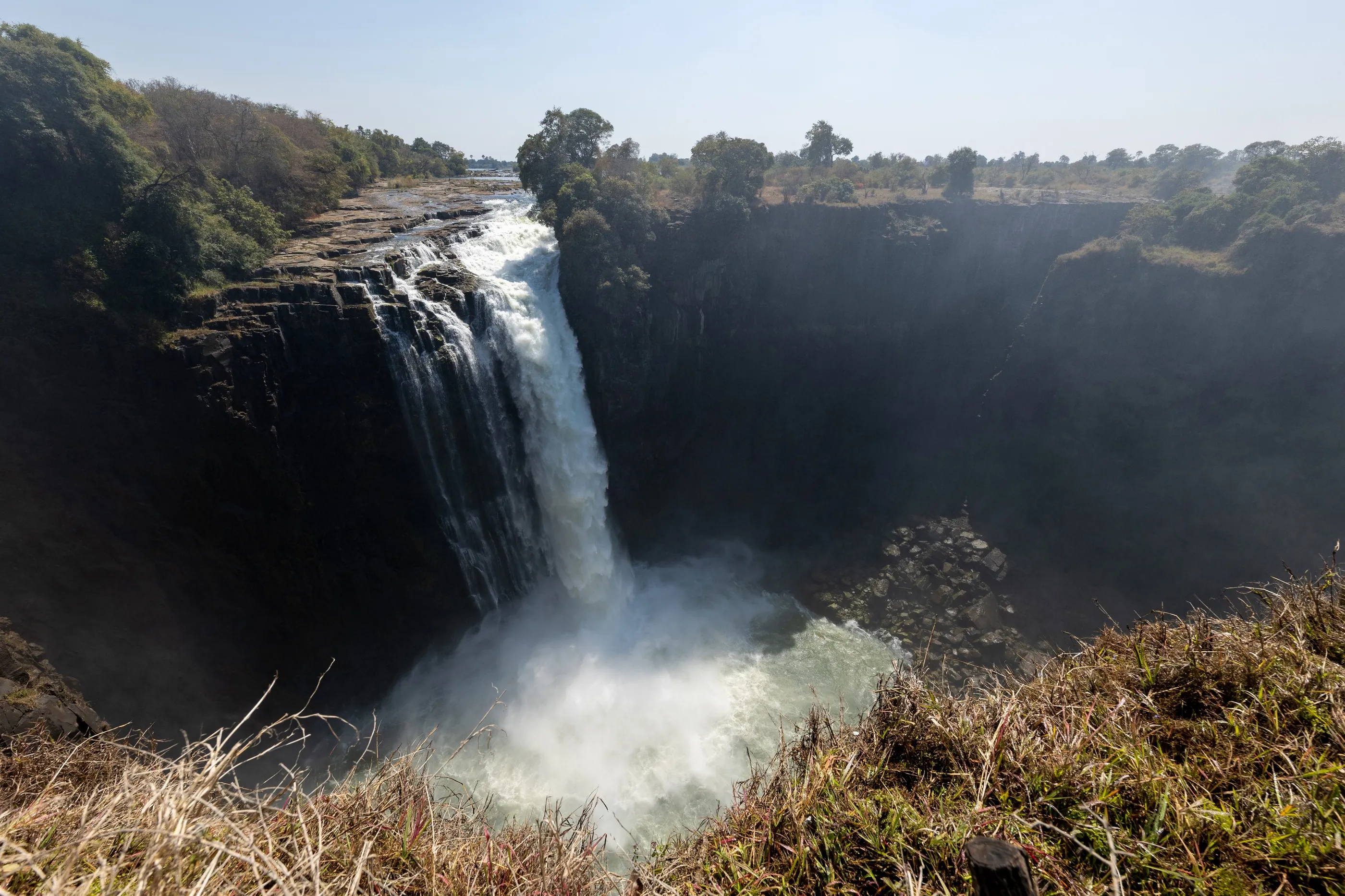
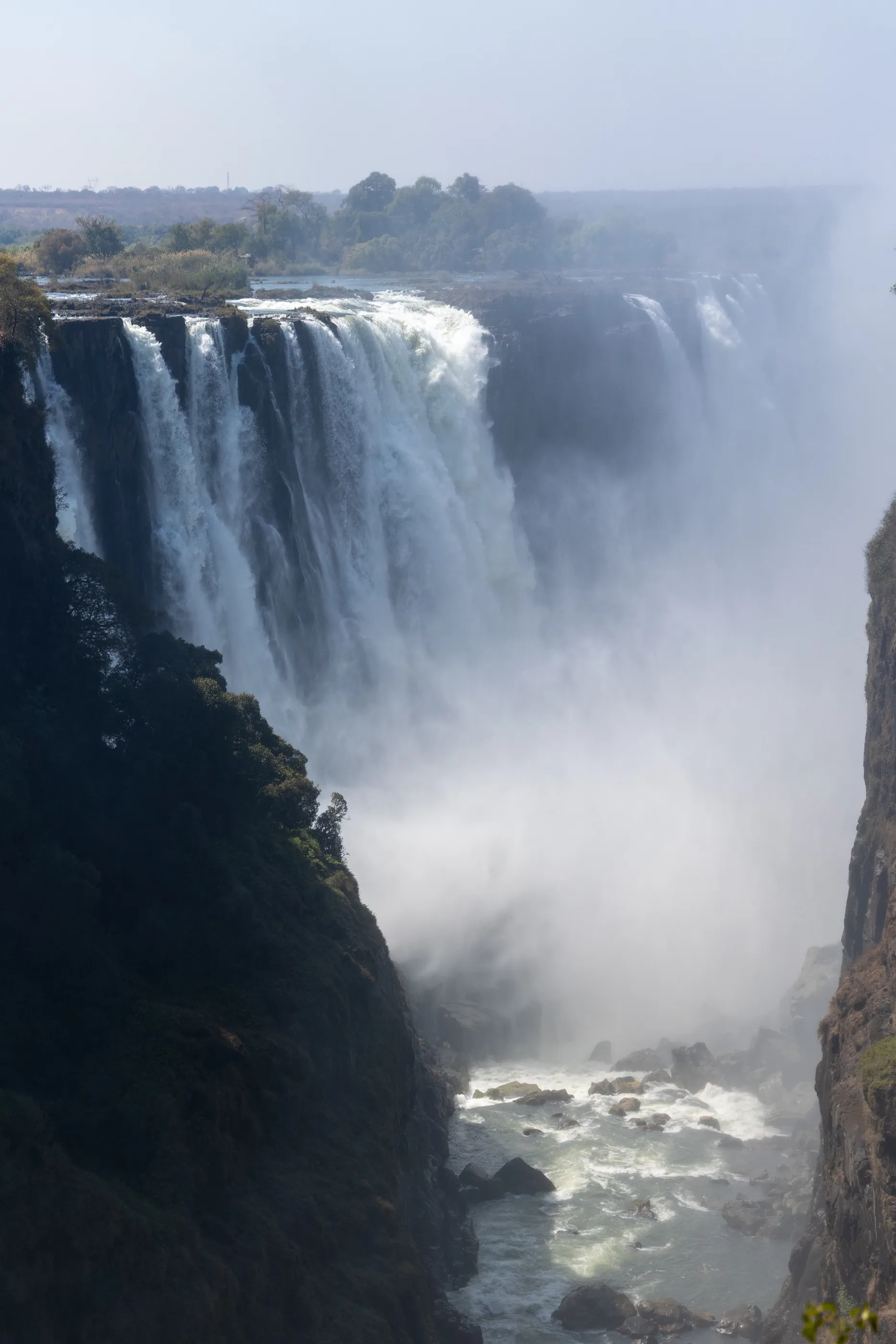
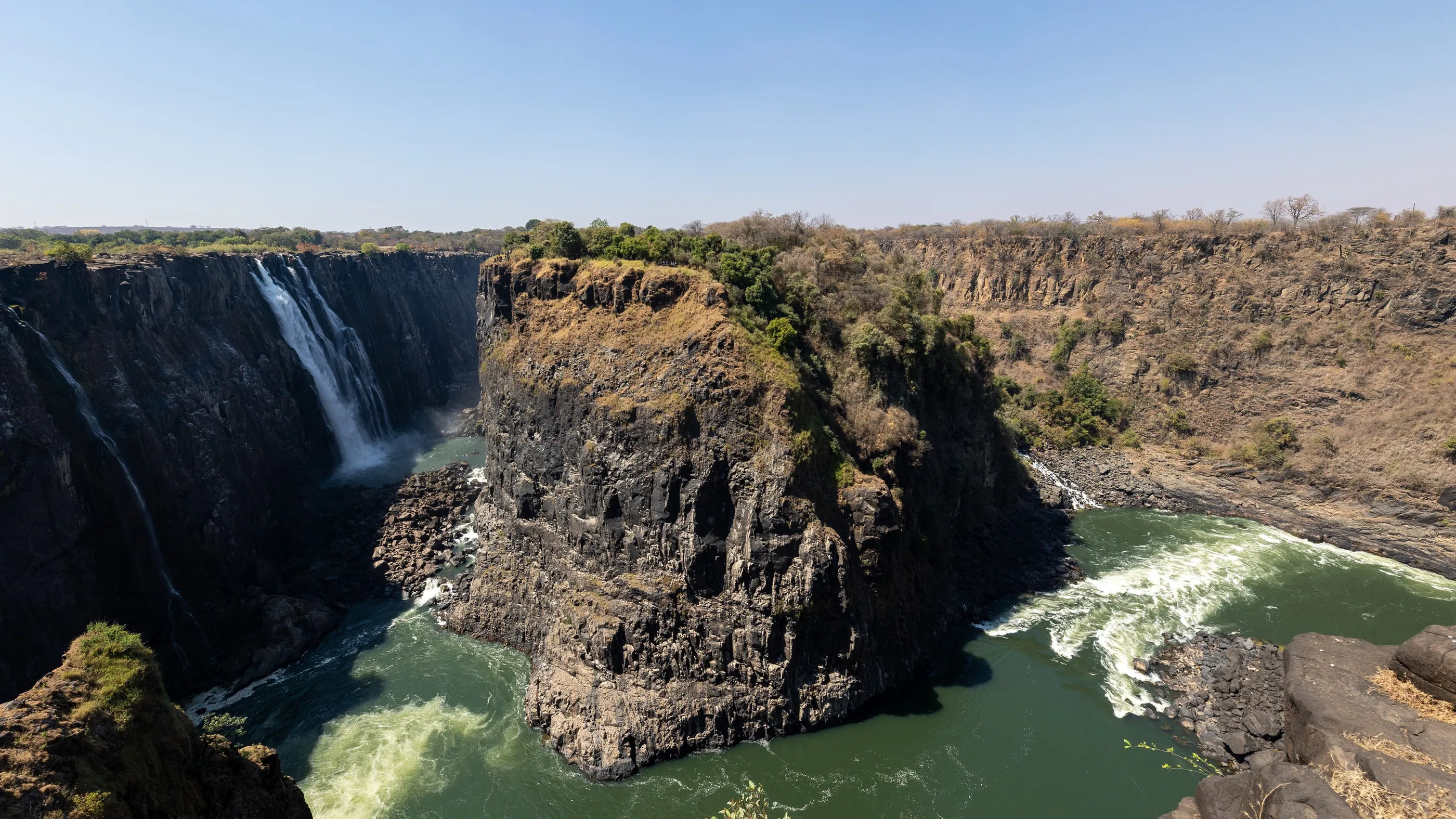
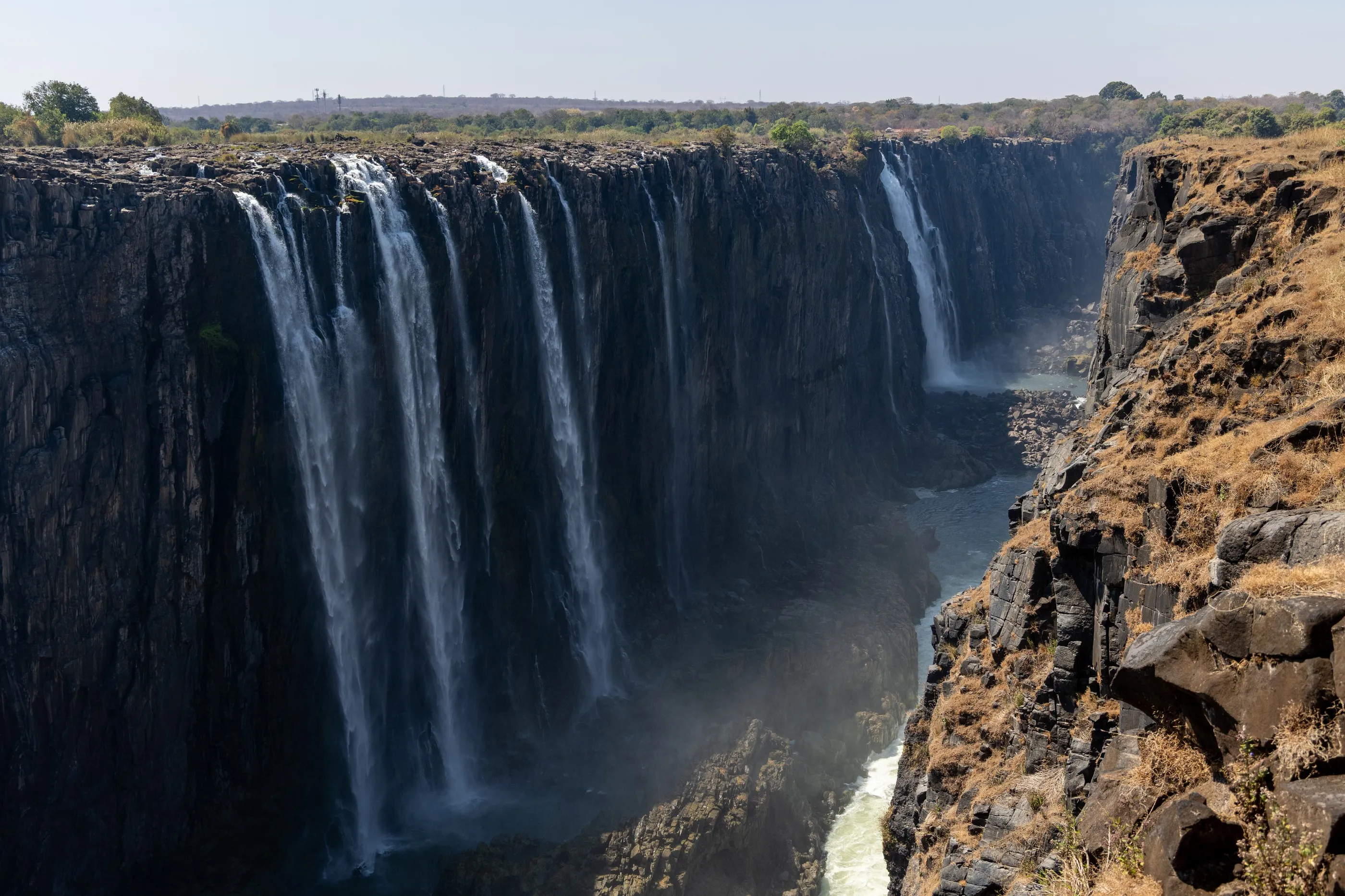
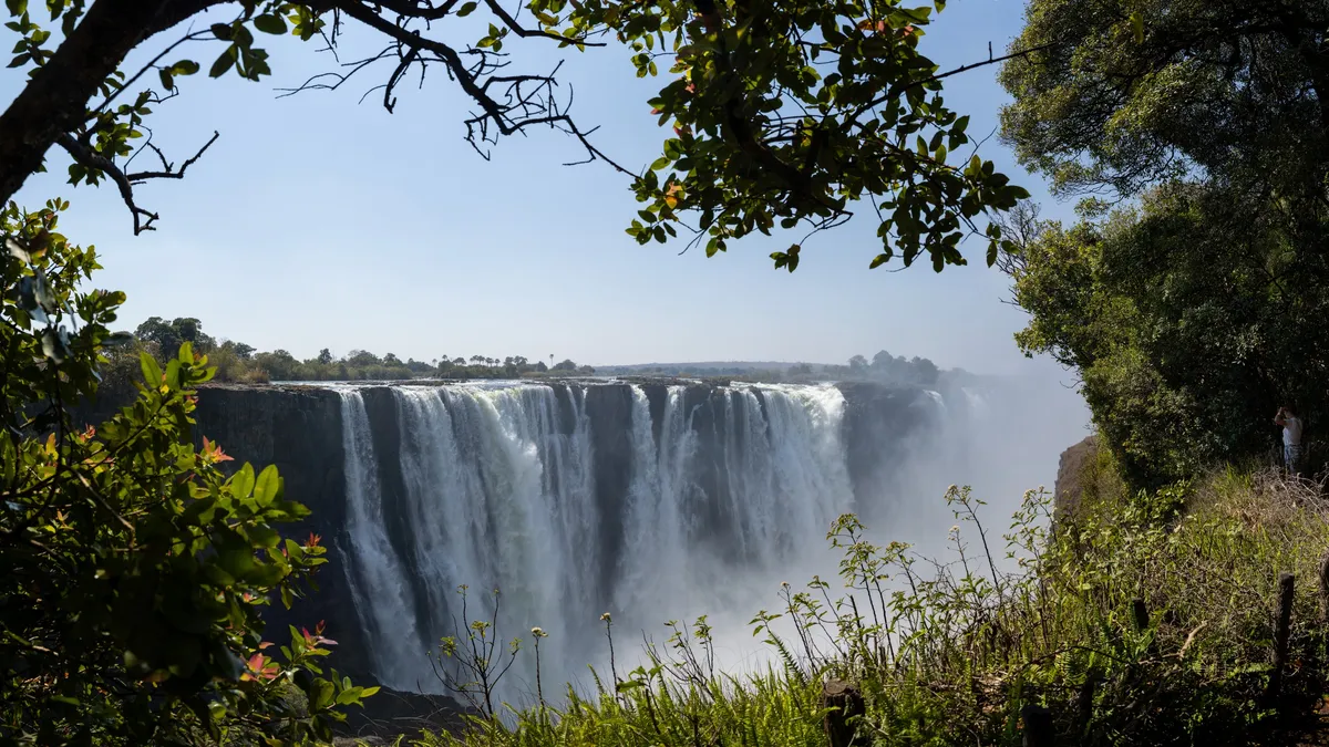
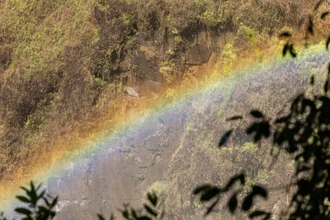
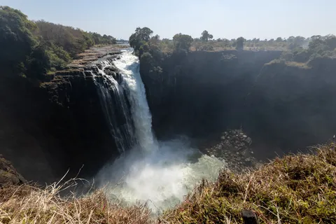
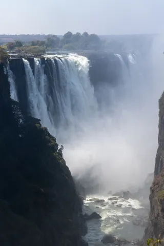
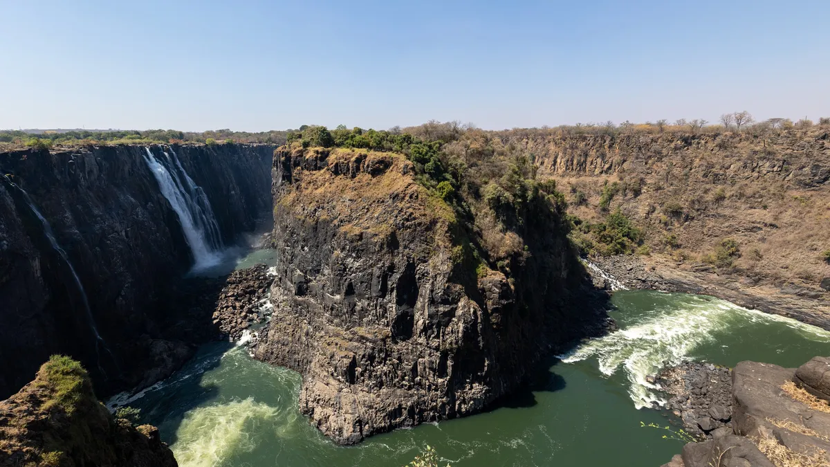
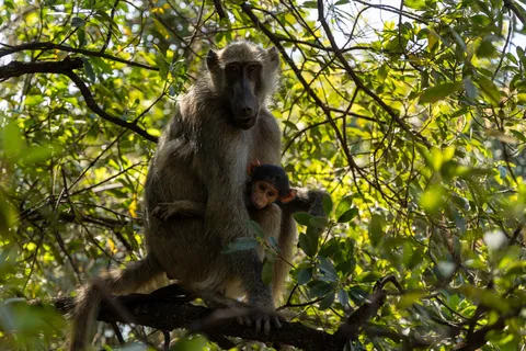
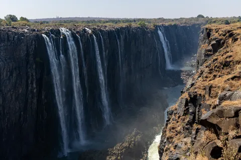
A crossing of Botswana via Kasane and the Kazungula border, and here we are on the Zimbabwe side, where the Zambezi drops all at once into a chasm more than a hundred metres deep and nearly two kilometres wide. Mosi-oa-Tunya, ‘the smoke that thunders’: from the Devil’s Cataract to Danger Point, the path follows the edge of the gorge through the spray, a rainbow clinging to the rock face. After weeks of sand, the water feels almost unreal.

By road
Victoria Falls Bridge, into Zambia
Zambia
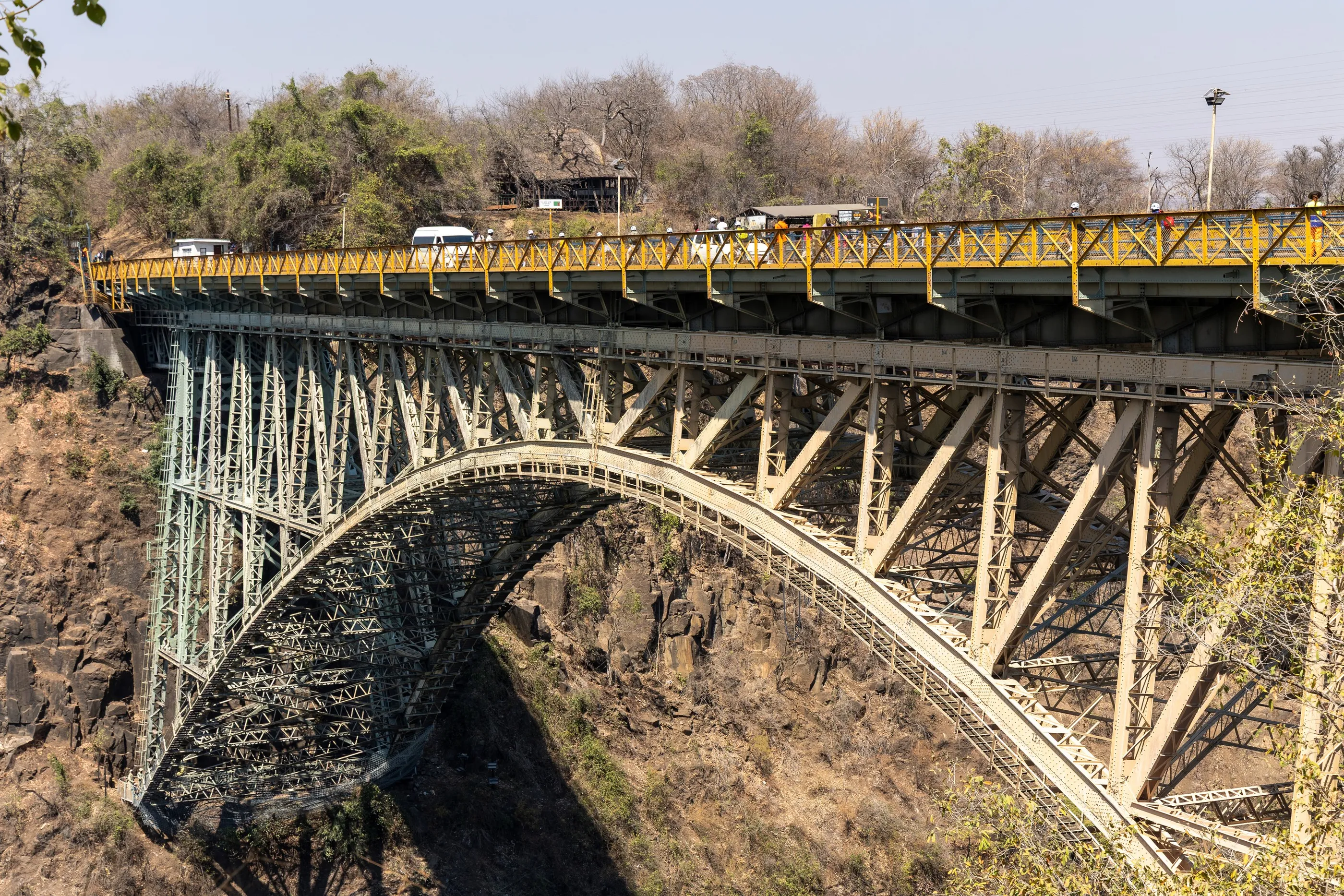
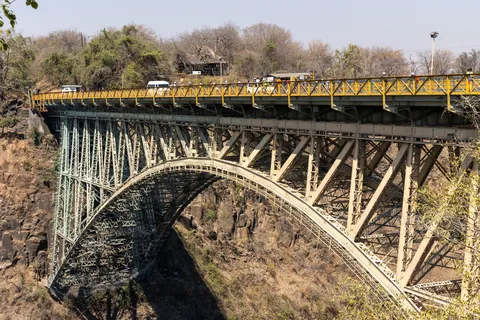
The steel Victoria Falls Bridge, completed in 1905, spans the Batoka Gorge more than a hundred metres above the Zambezi; it marks the border between Zimbabwe and Zambia. We crossed it to the Zambian side, towards Livingstone, named after the Scottish explorer who in 1855 became the first European to describe the falls.
By road↗ 76 km
Back through Botswana: Kasane and the Chobe
Botswana
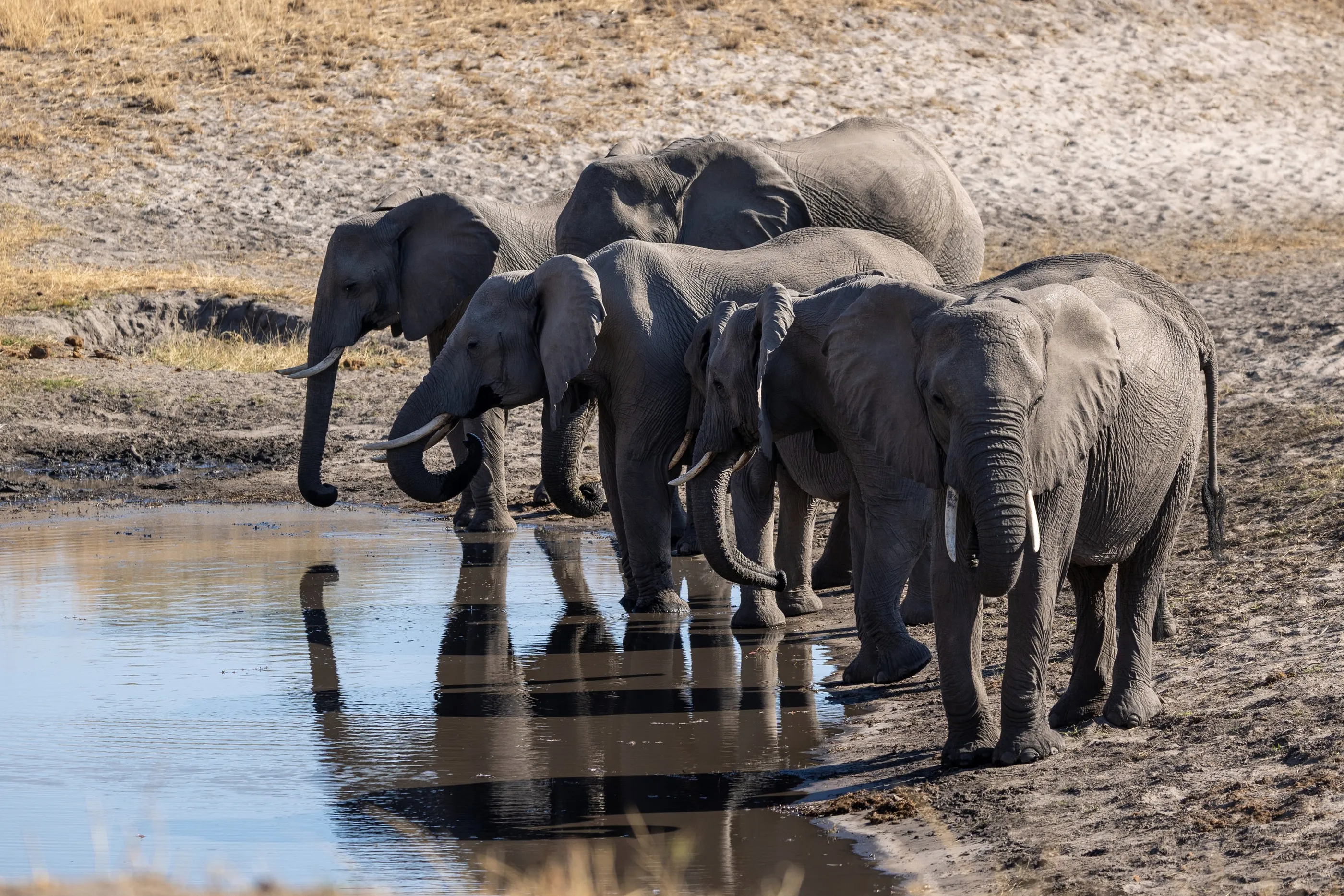
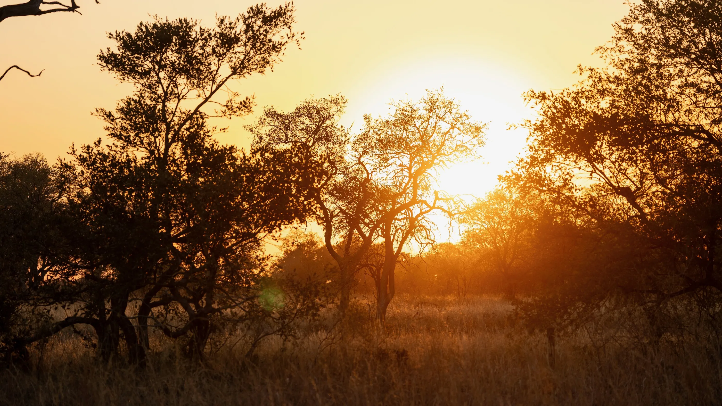
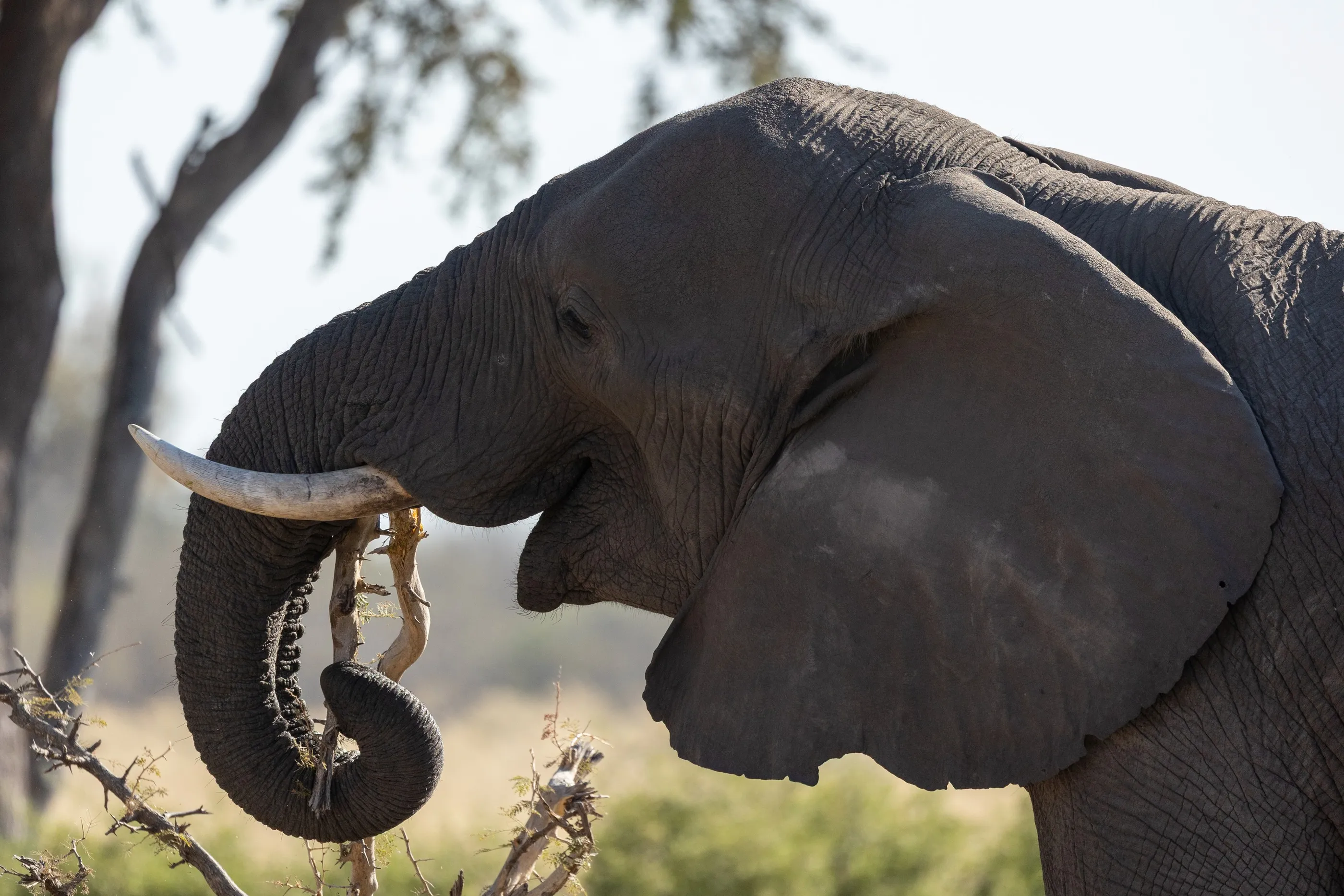
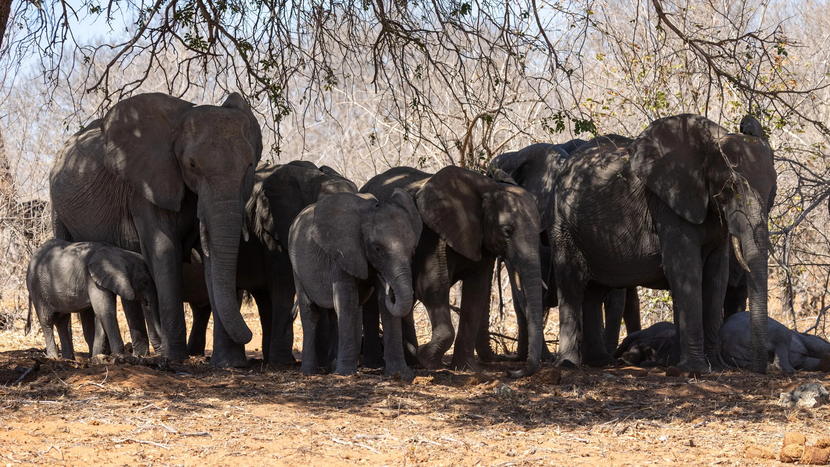
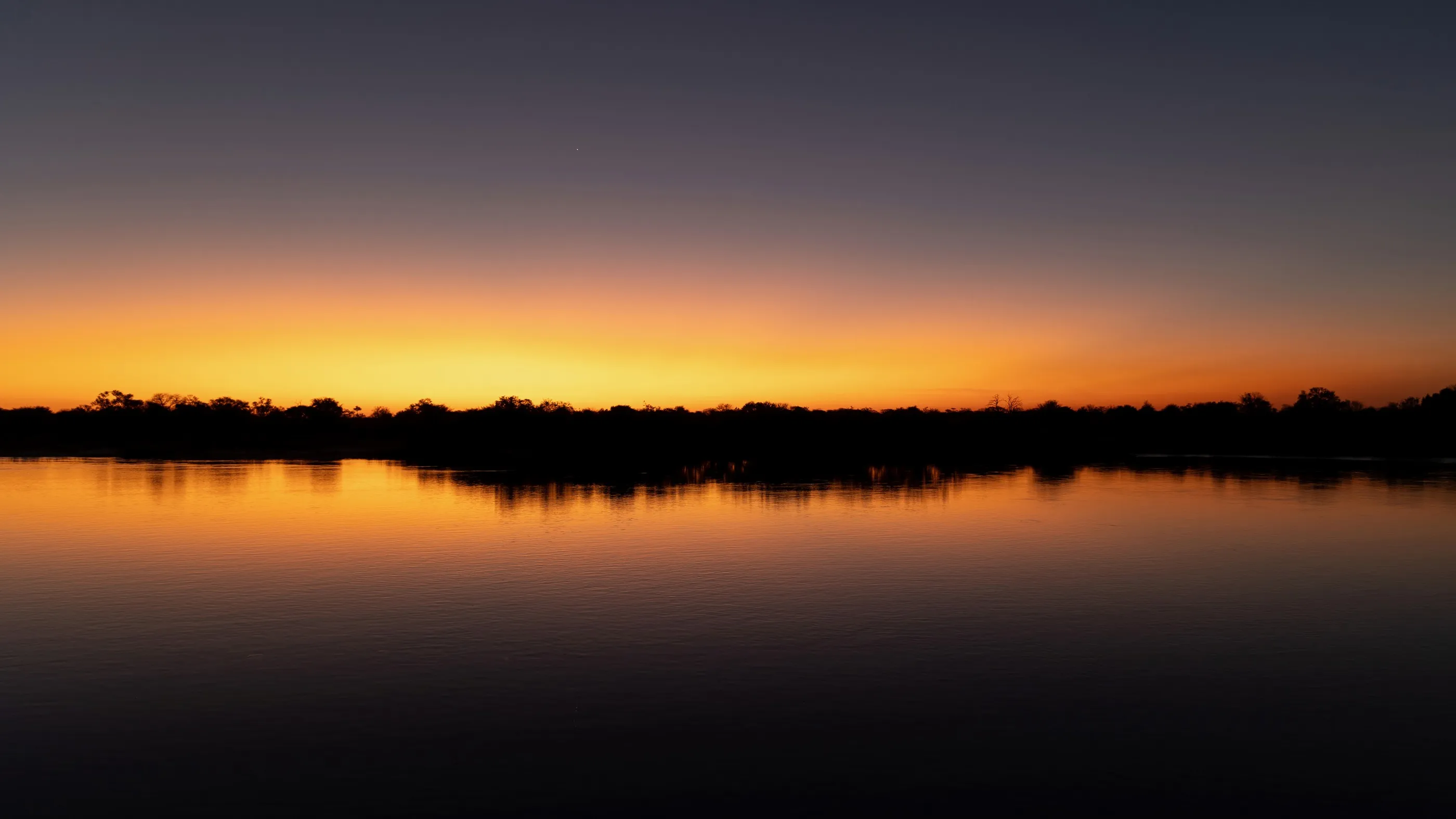
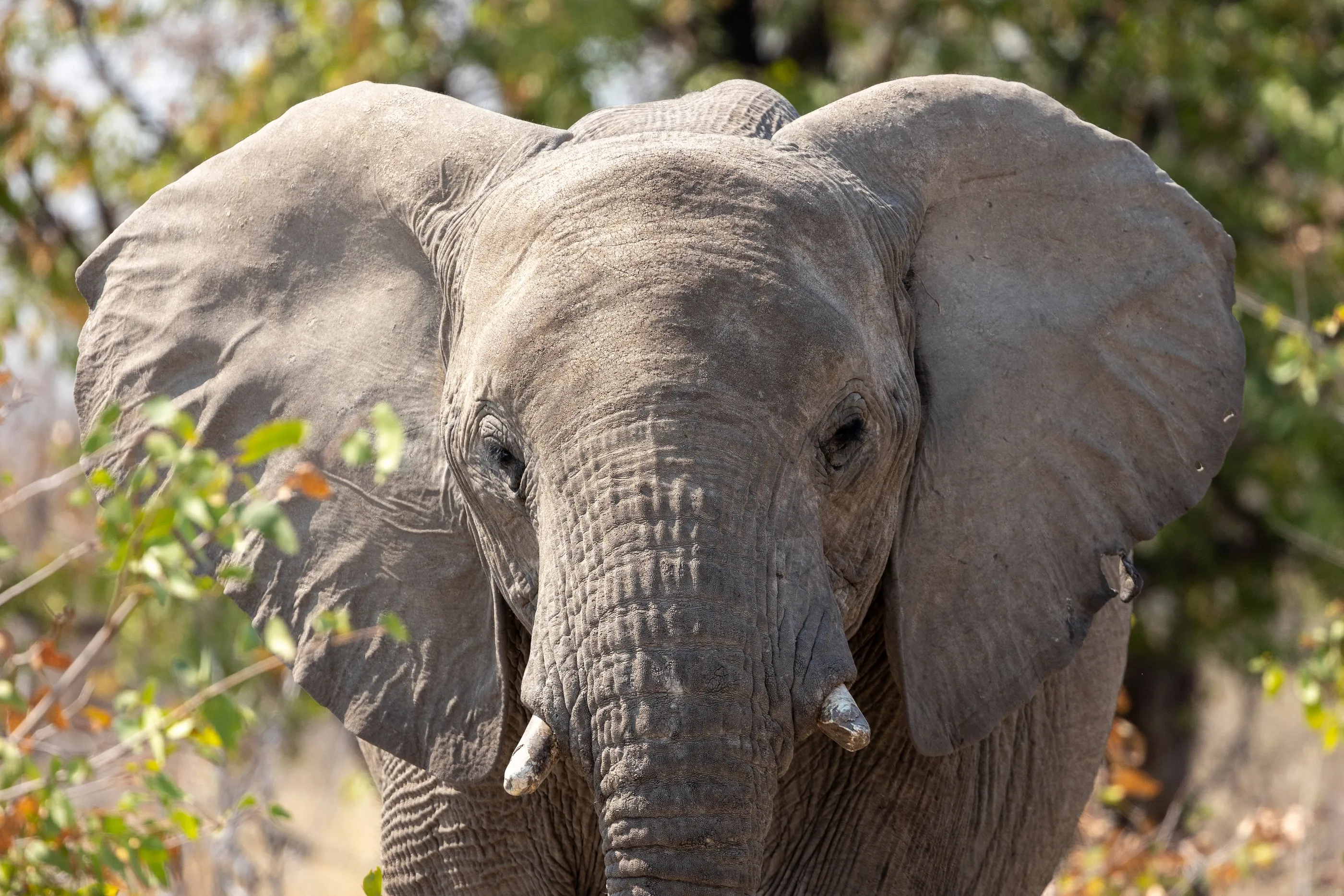
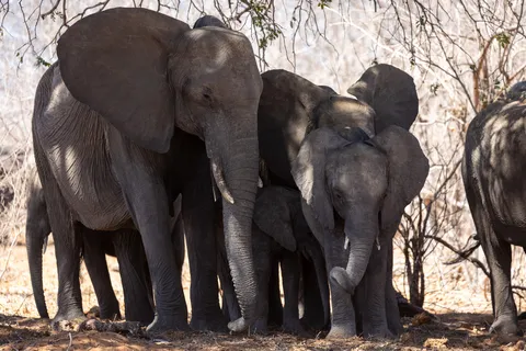
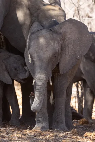
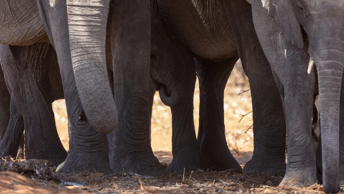
On the way back, Botswana again, and this time the banks of the Chobe, home to one of the largest concentrations of elephants in Africa. In the heat of the day, a herd of elephants huddles in the shade of the trees, a forest of grey legs from which a calf’s trunk sometimes pokes out. In the evening the sun sets over the Chobe, and the river holds the colours of the sky long after.



By road↗ 379 km
Popa Falls and the Okavango River
Namibia
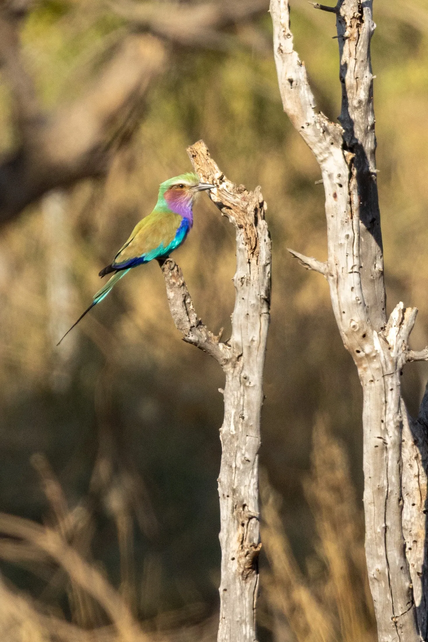
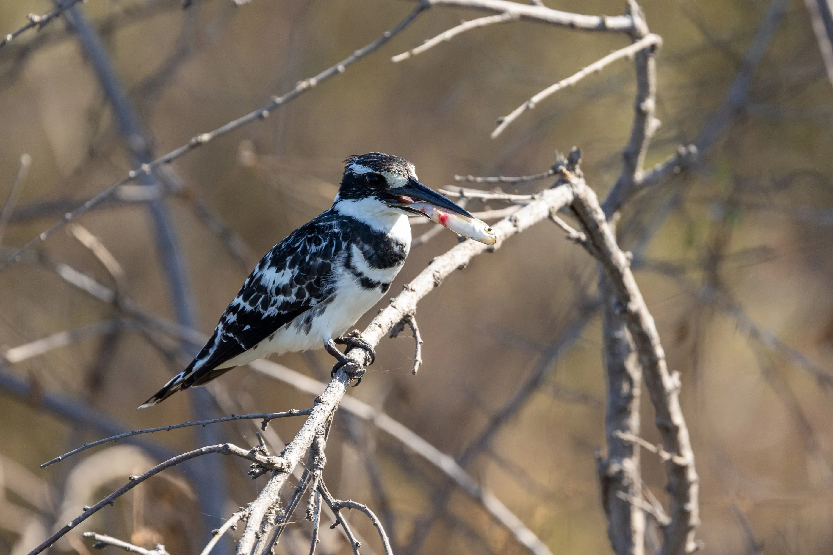
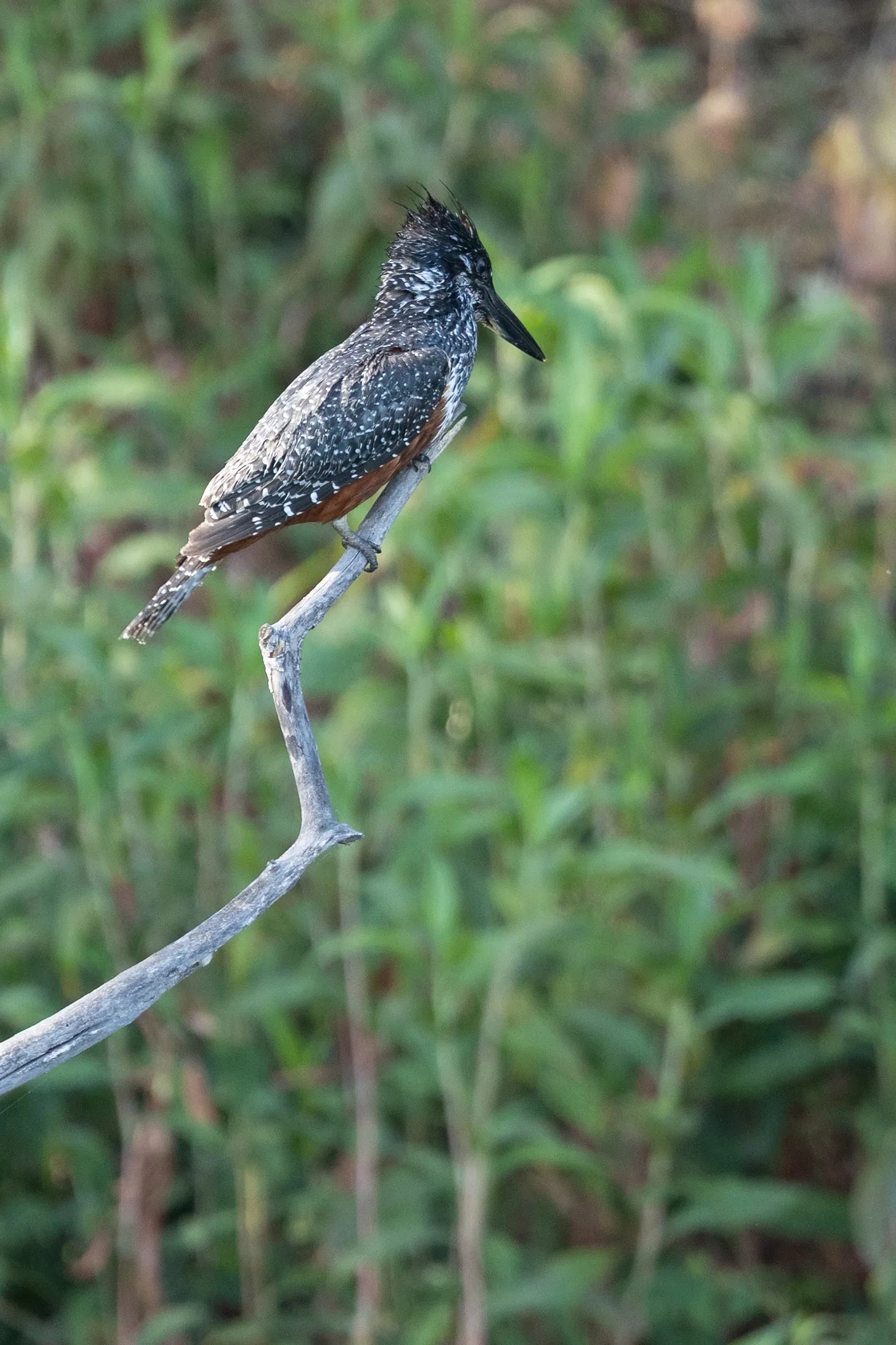
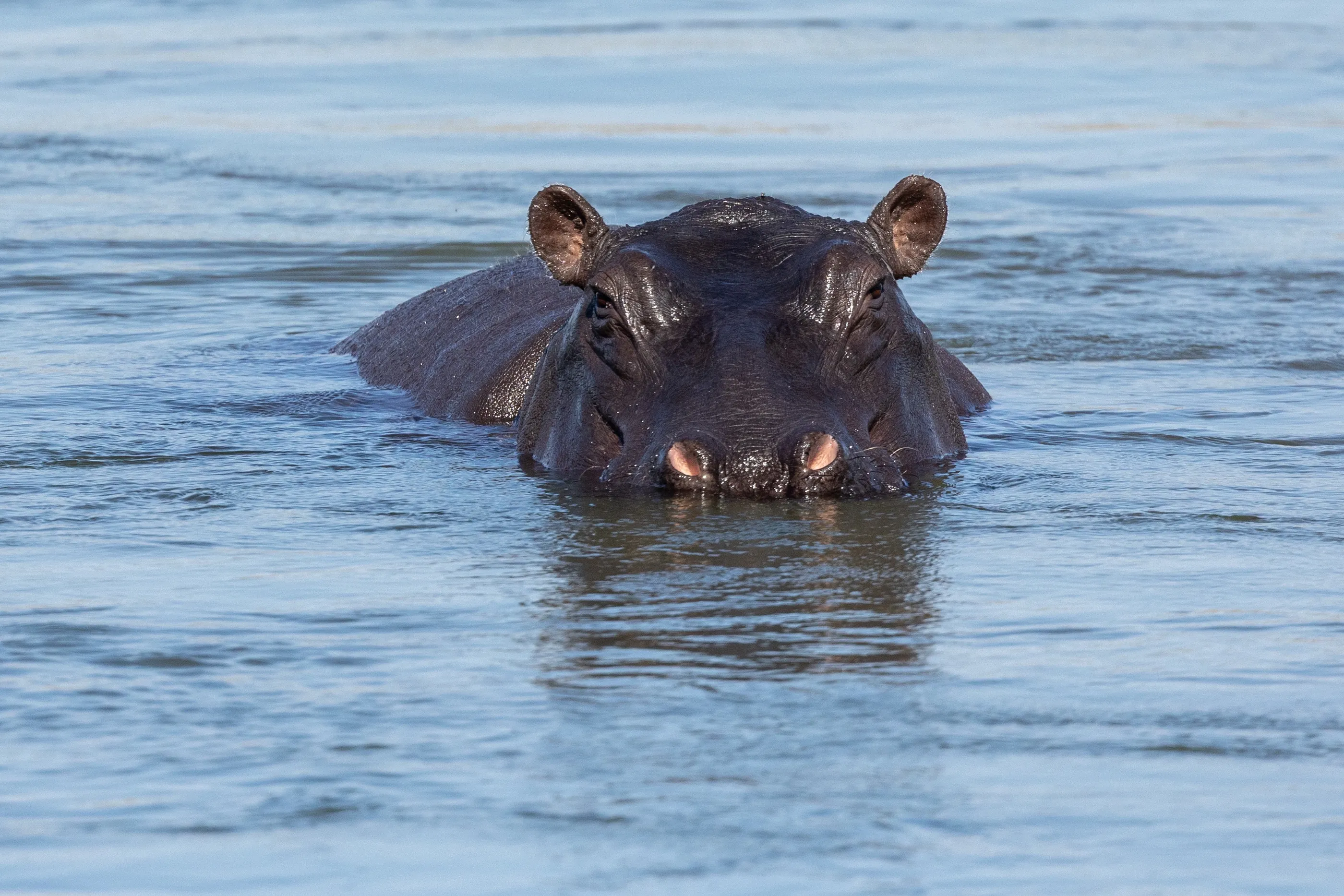
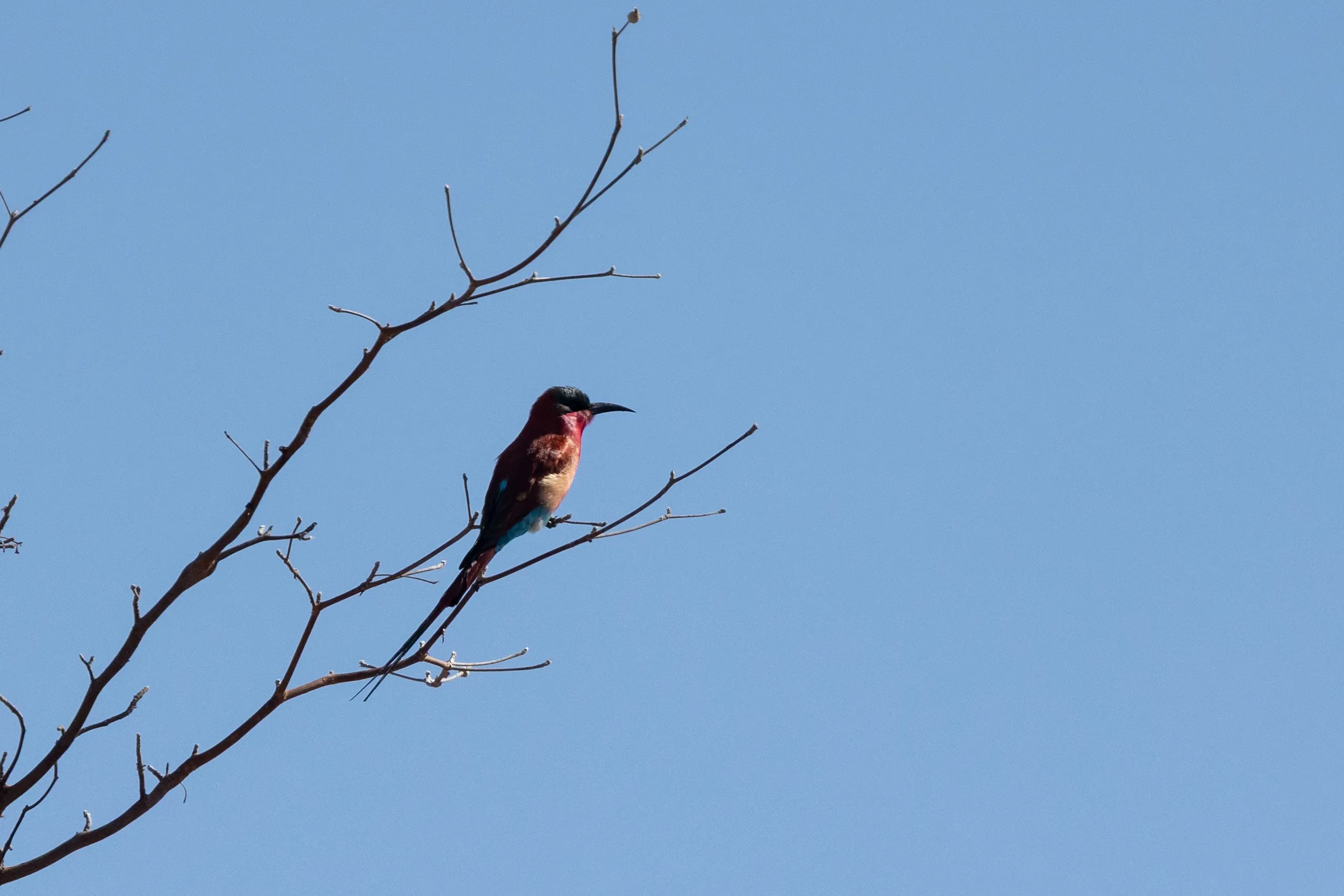
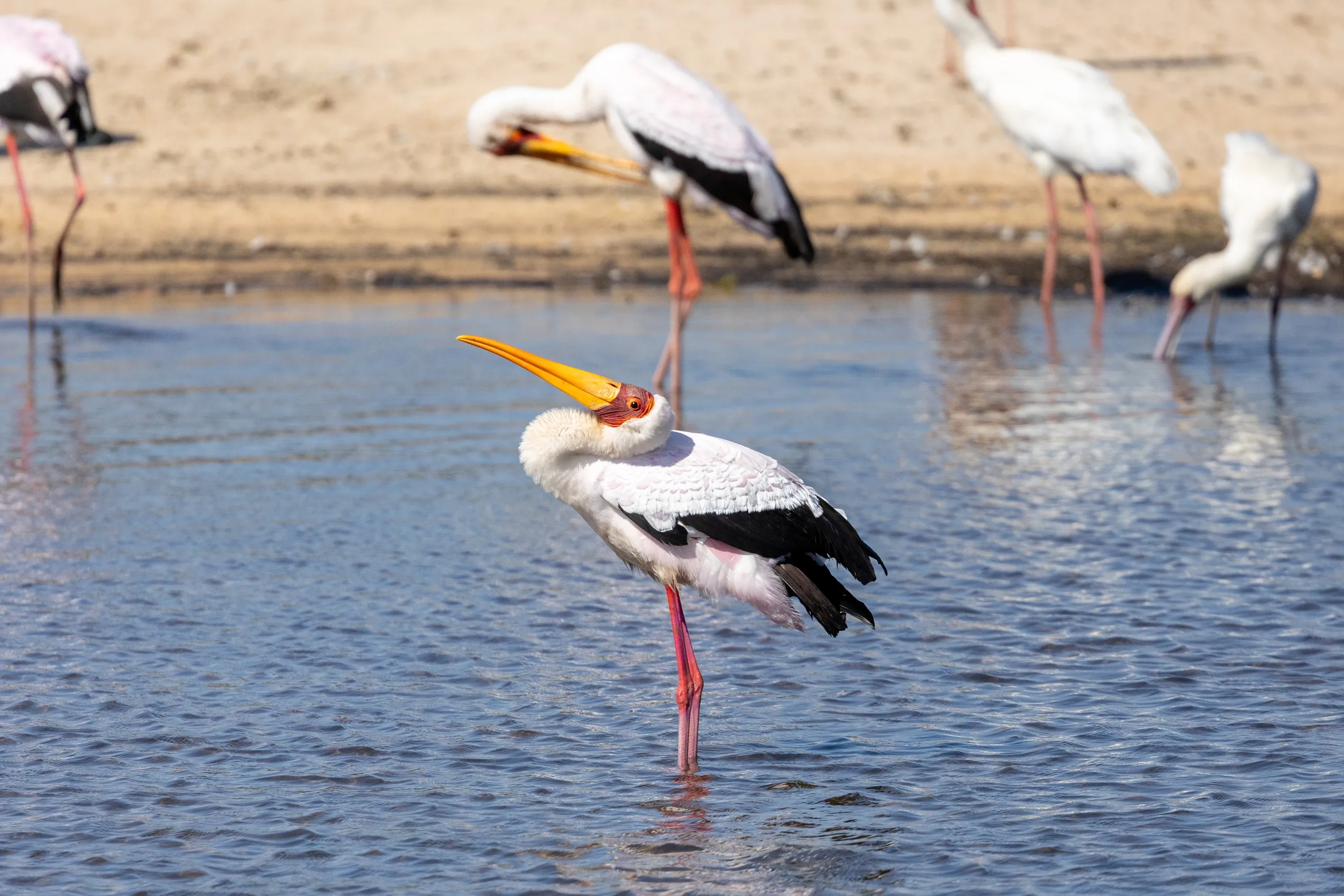
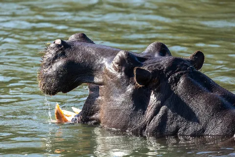
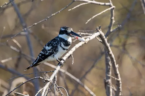
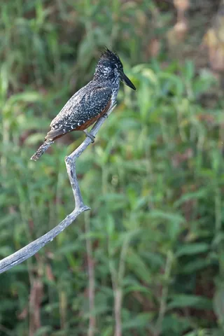
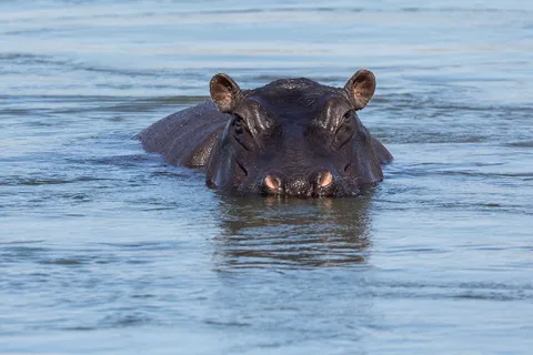
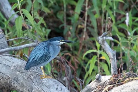
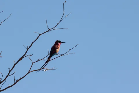
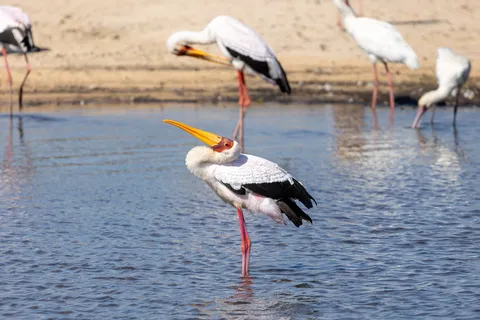
Back in Namibia, a morning on the banks of the Okavango near the Popa Falls rapids: half-submerged hippos, a crocodile motionless in the reeds, pied and giant kingfishers, carmine bee-eaters and yellow-billed storks on the lookout. The river then runs on into Botswana, where it will lose itself in the sands of the Kalahari.

By road↗ 496 km
Etosha, from Namutoni to Halali
Namibia
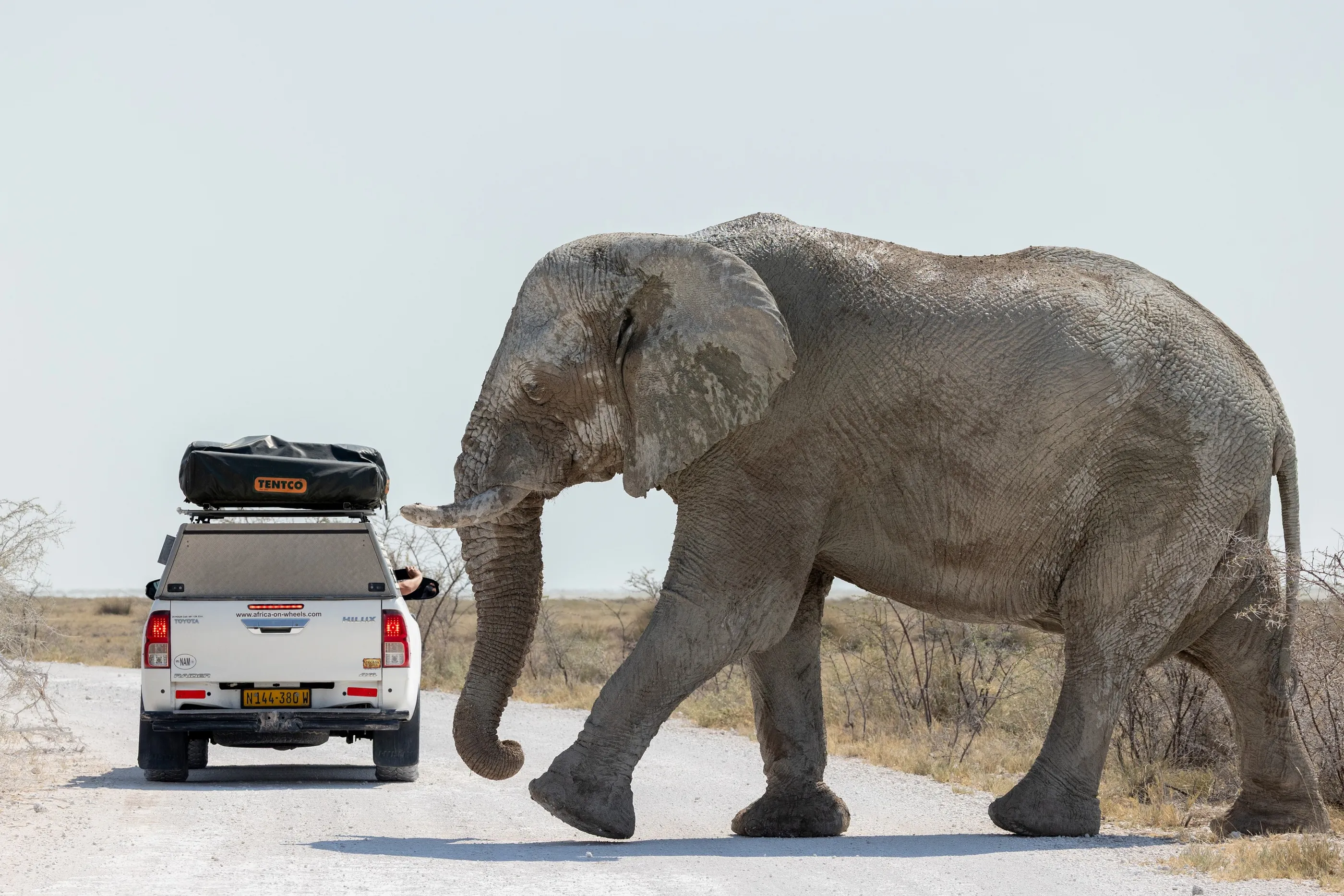
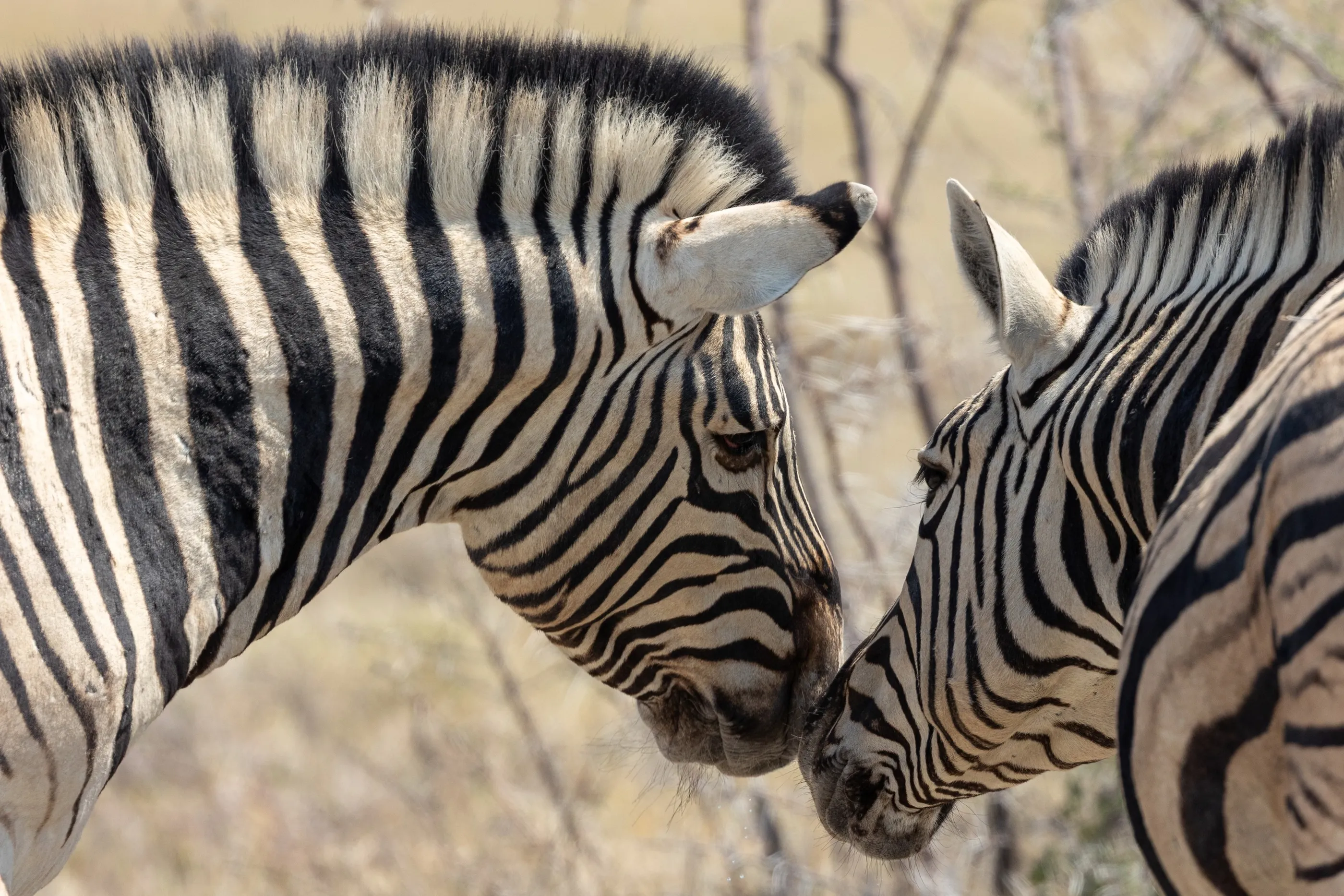
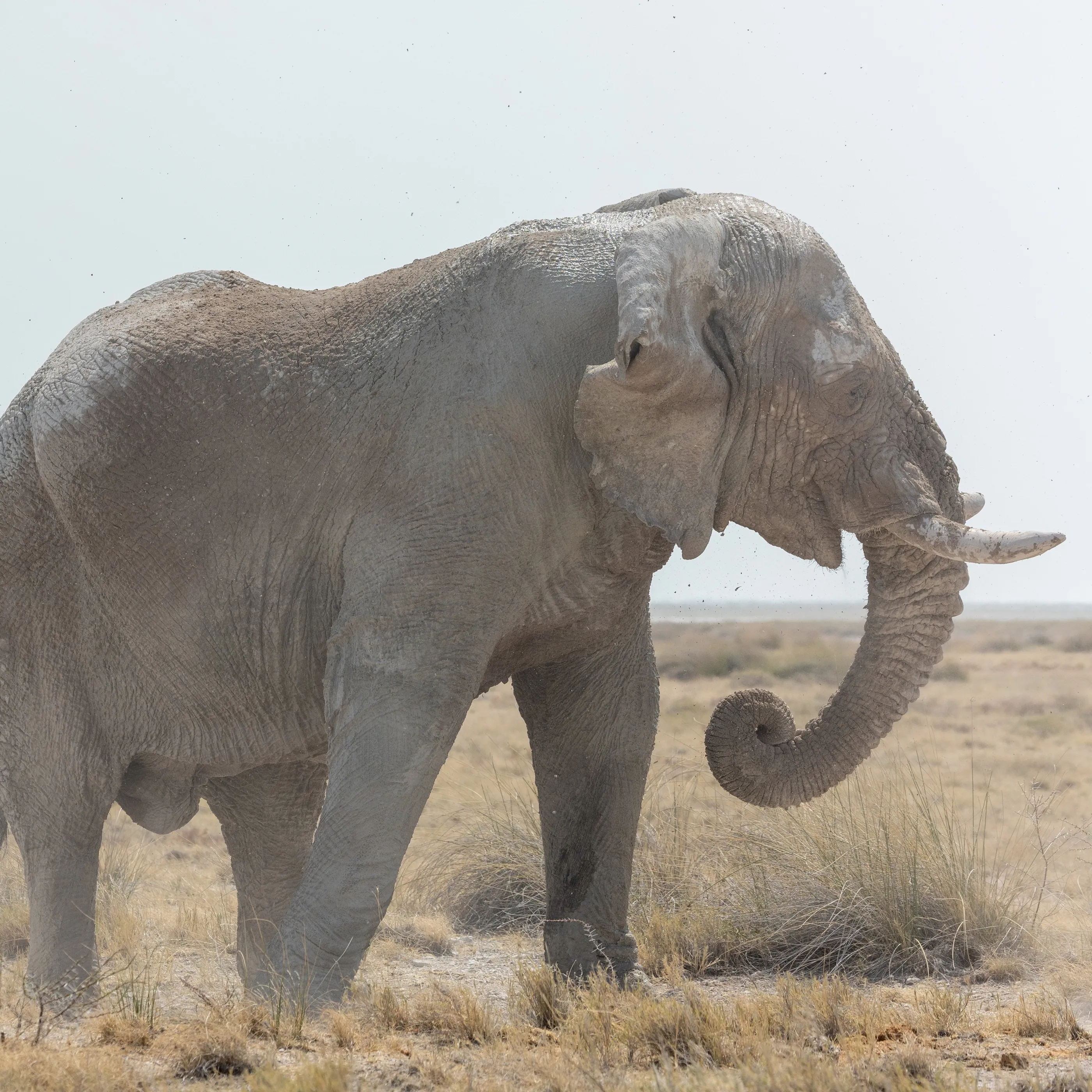
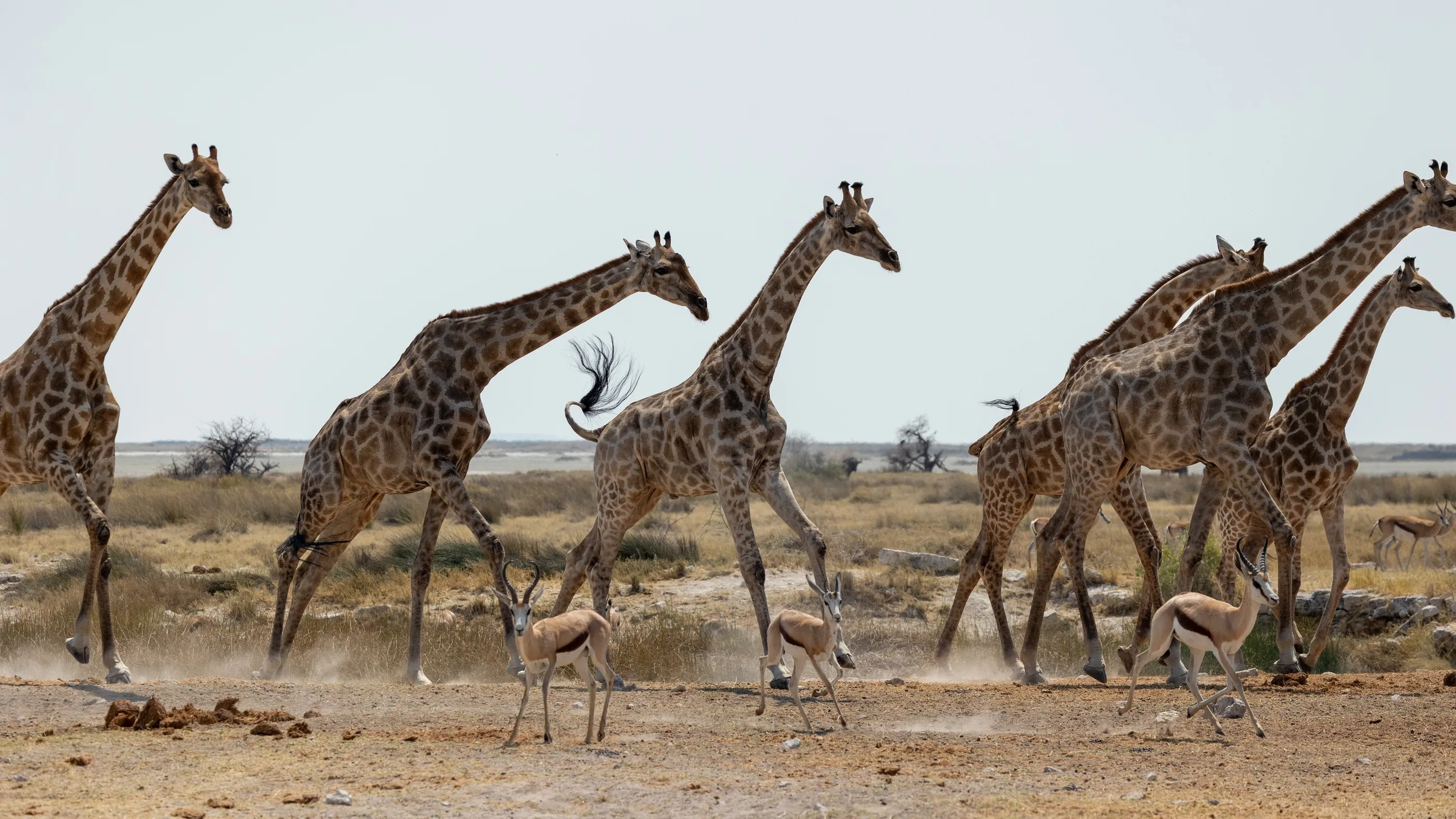
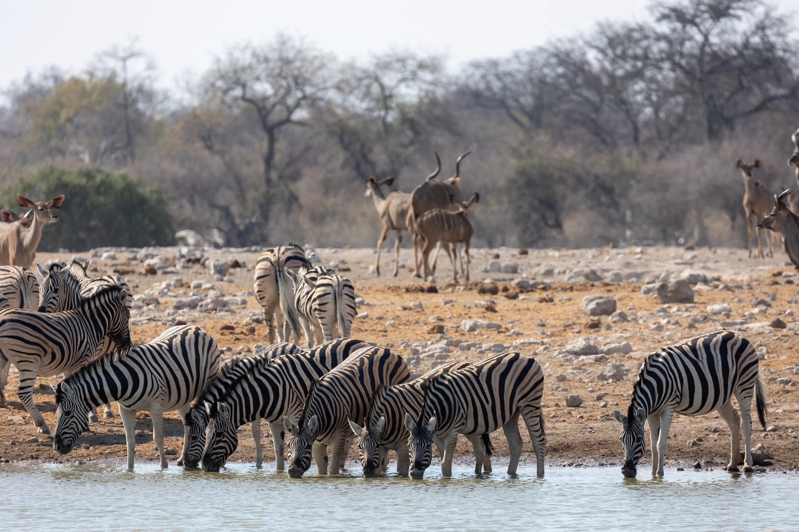
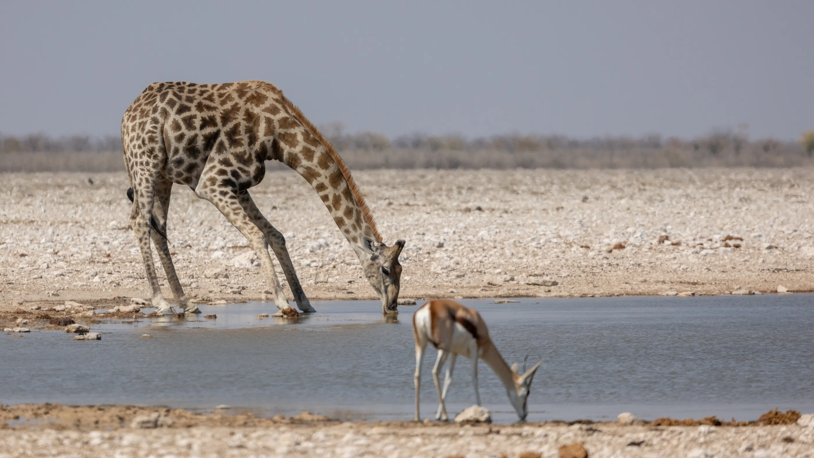
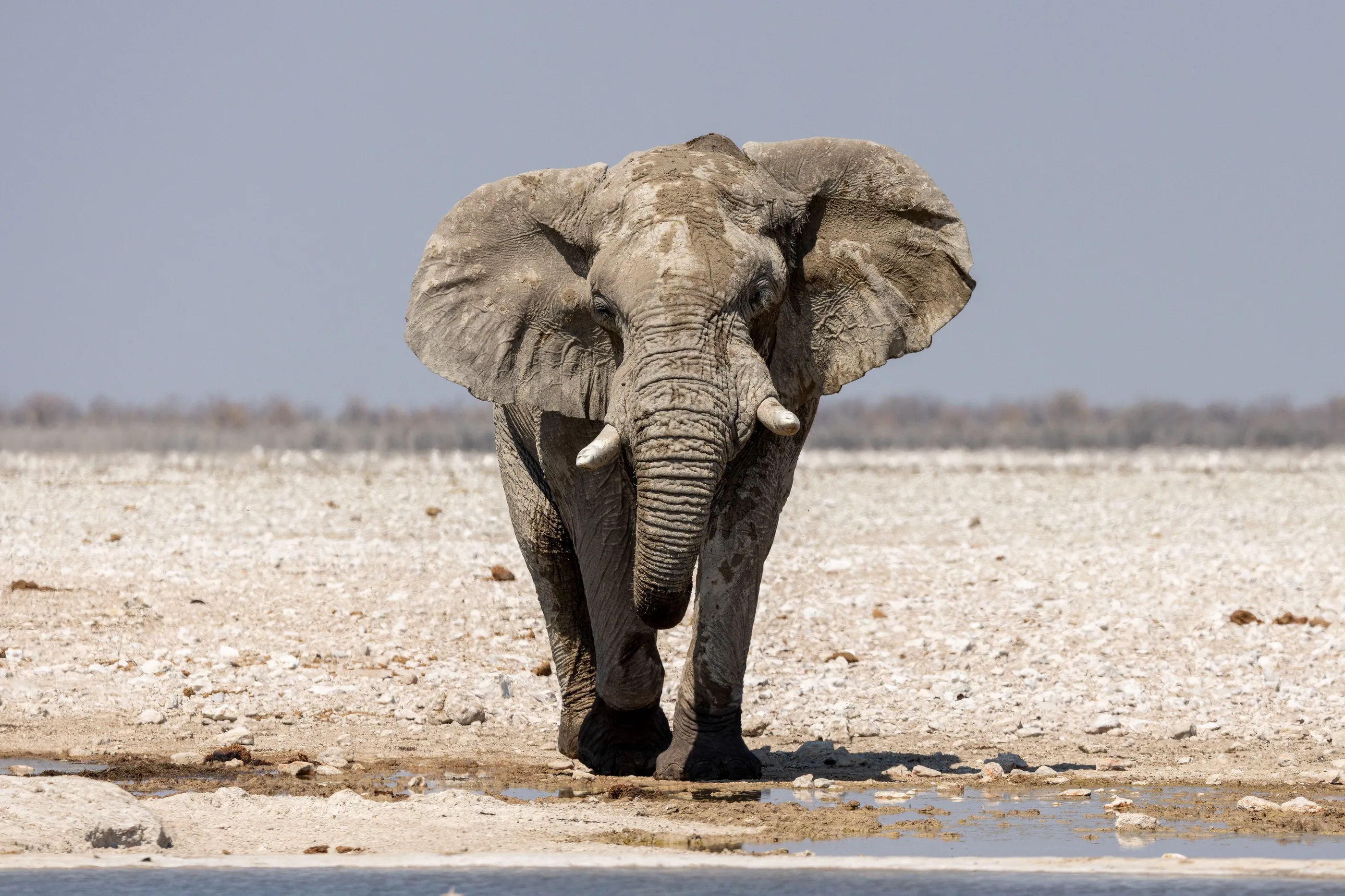
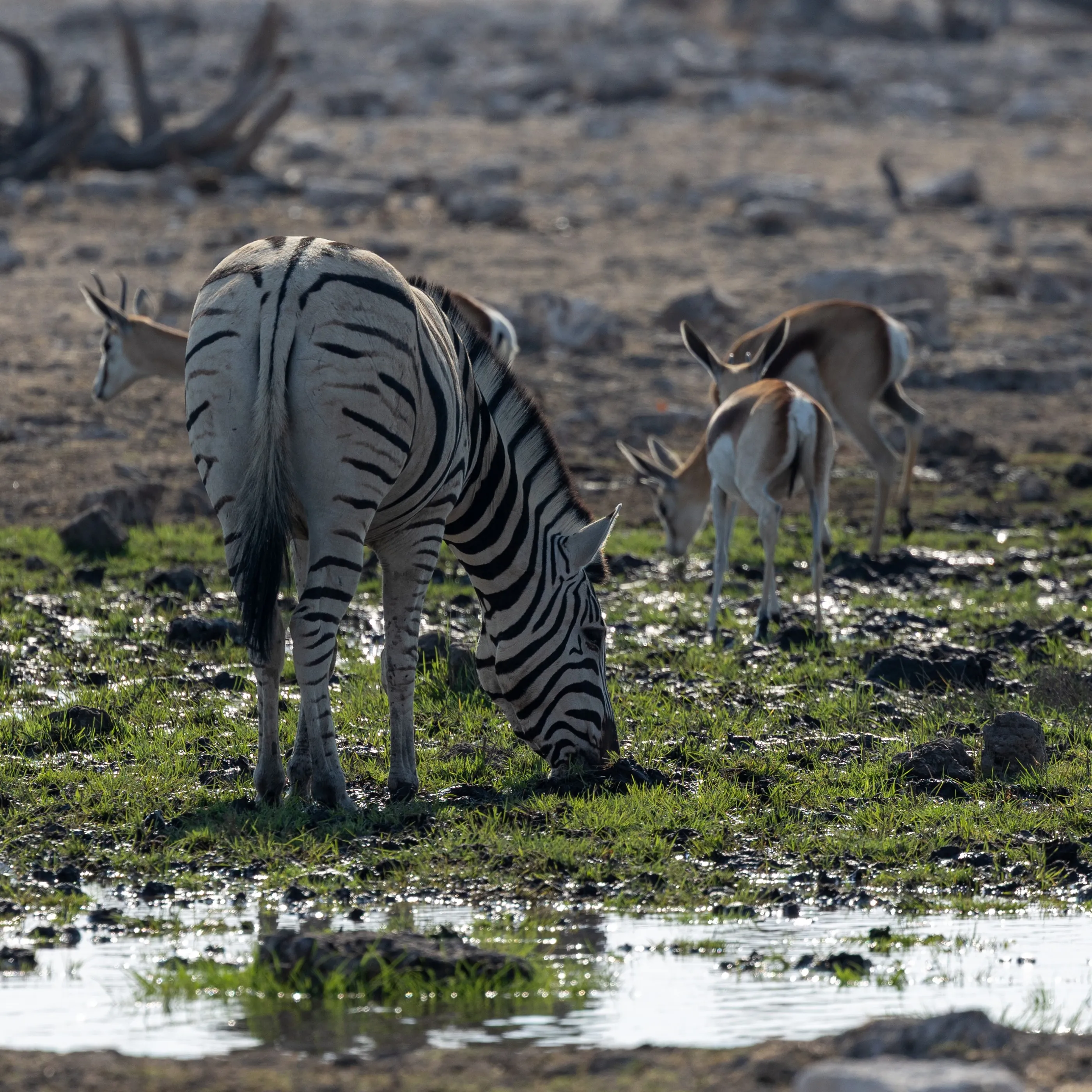
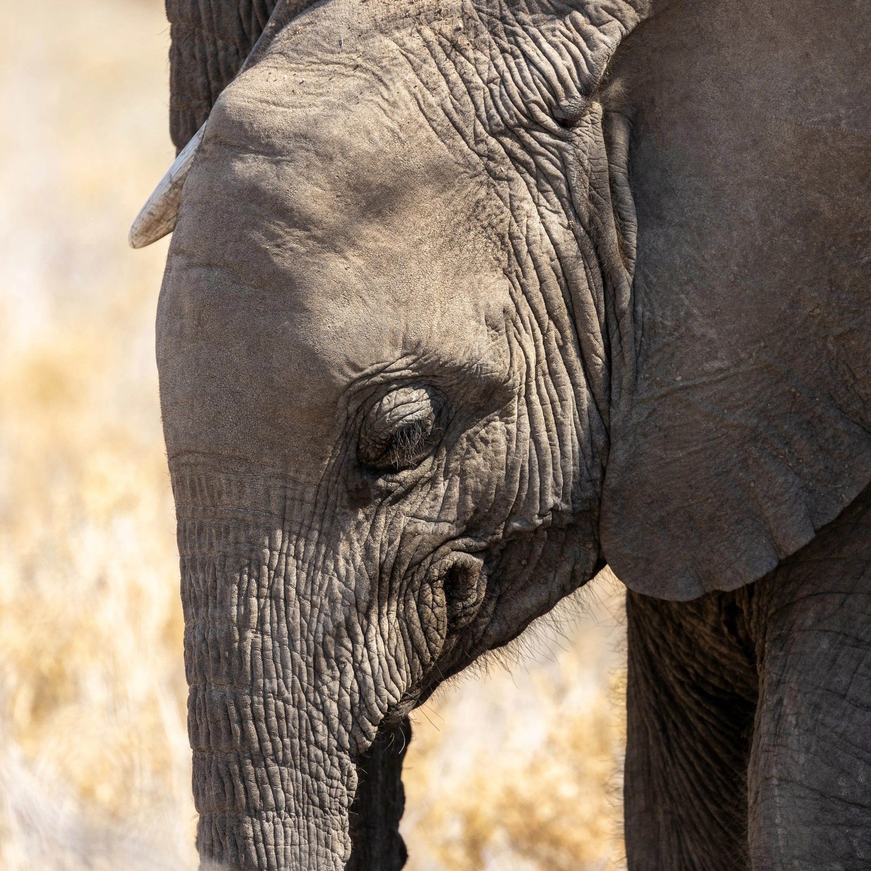
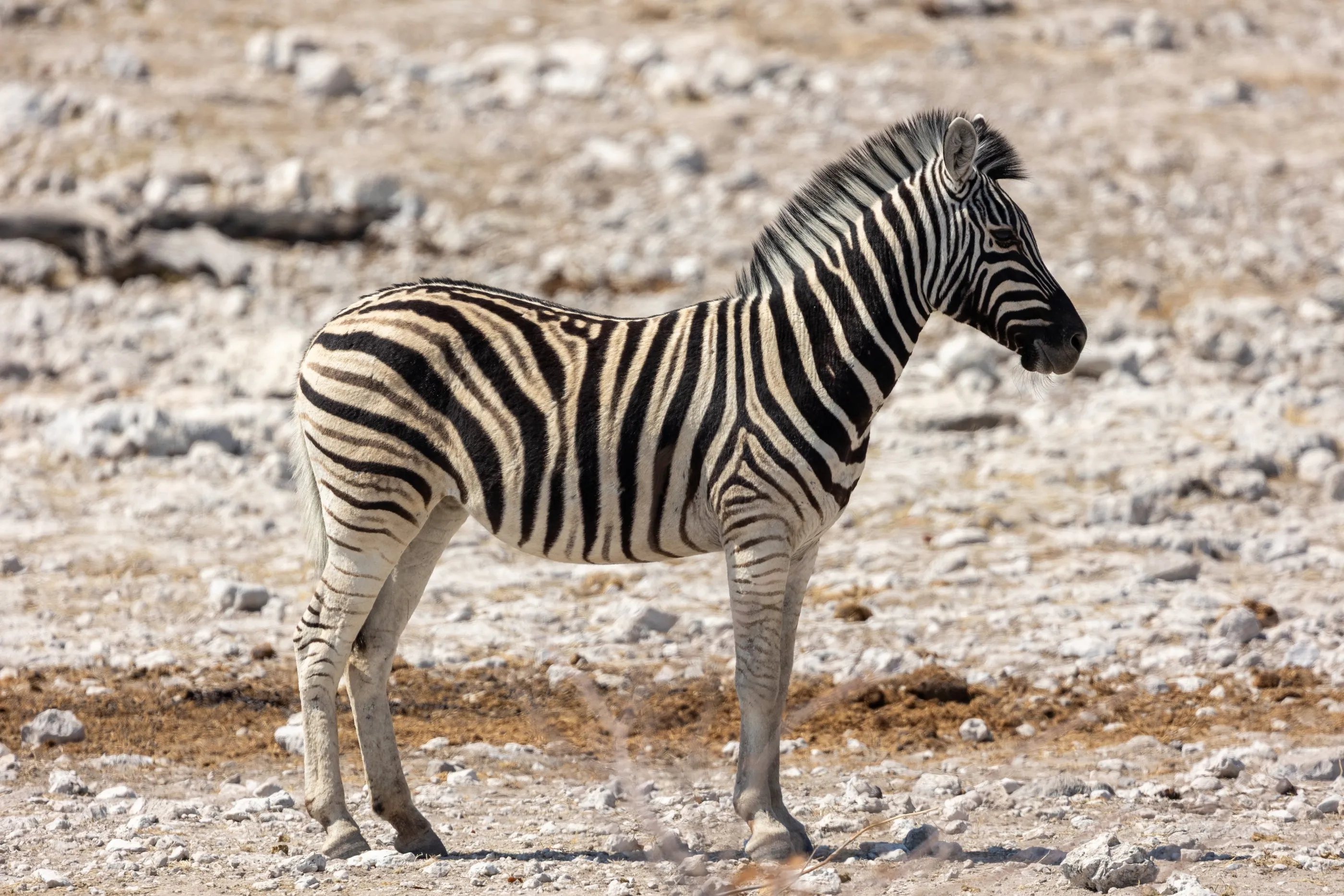
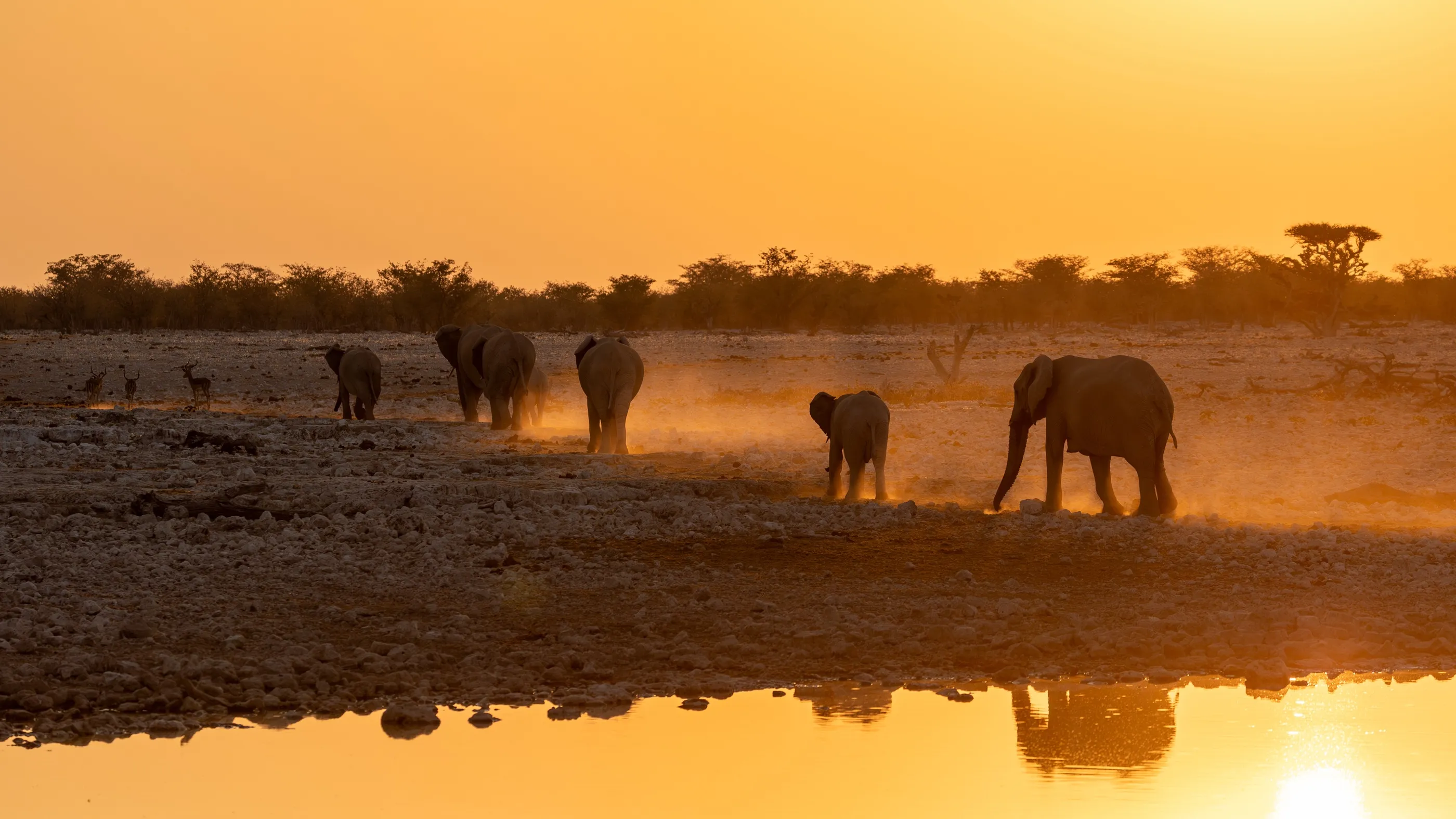
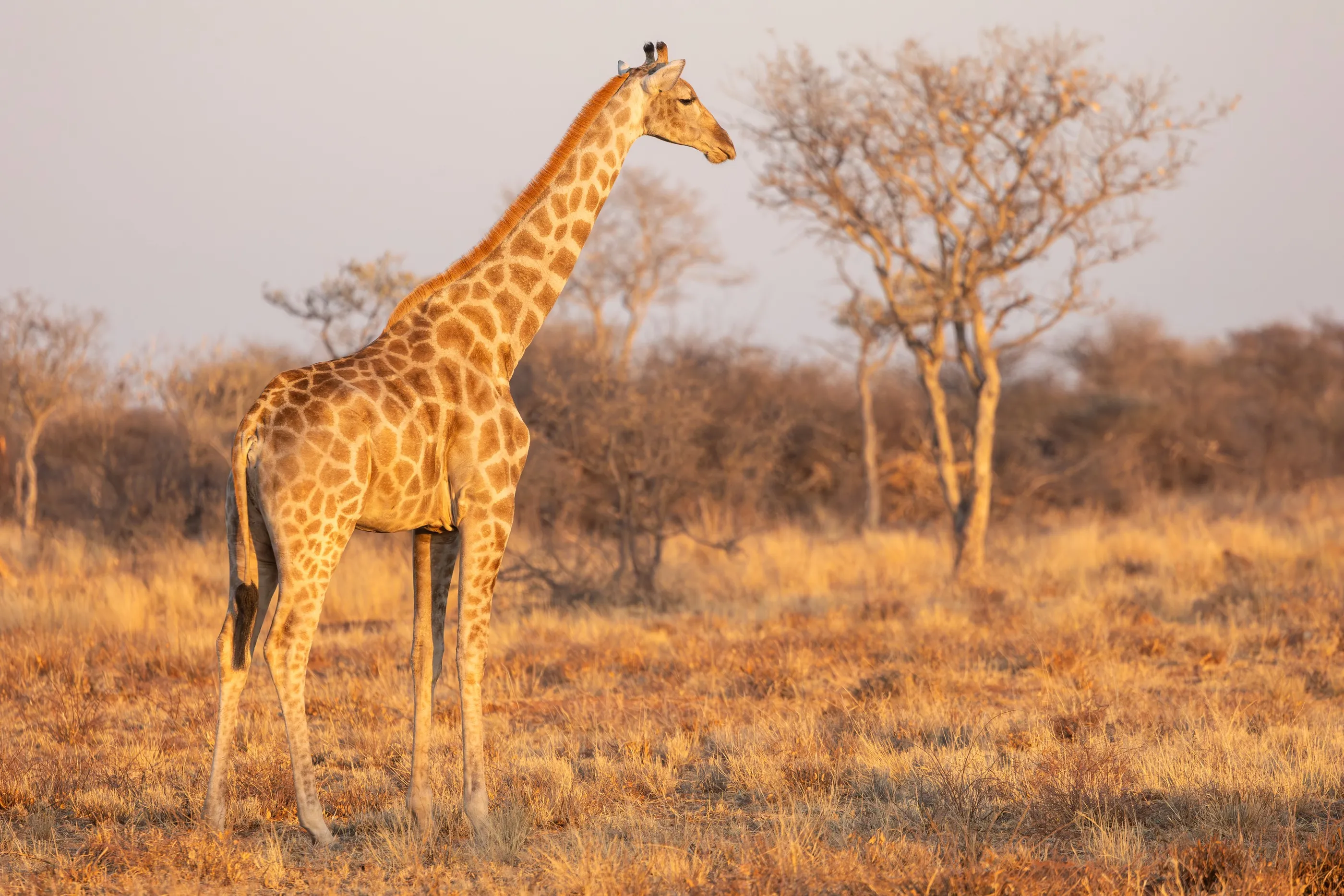
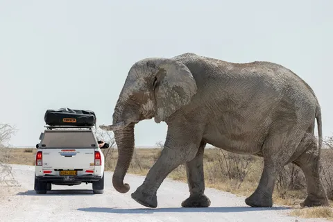
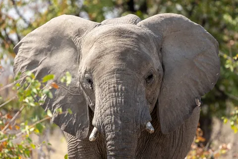
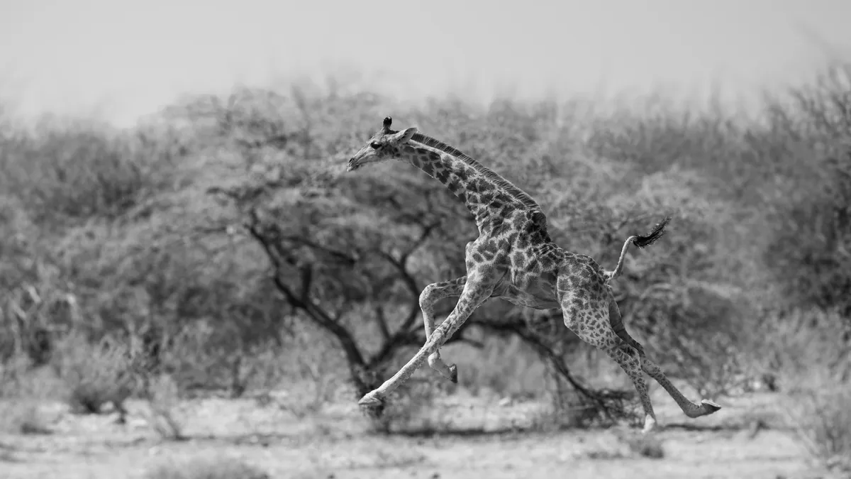
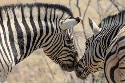
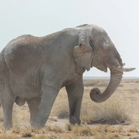
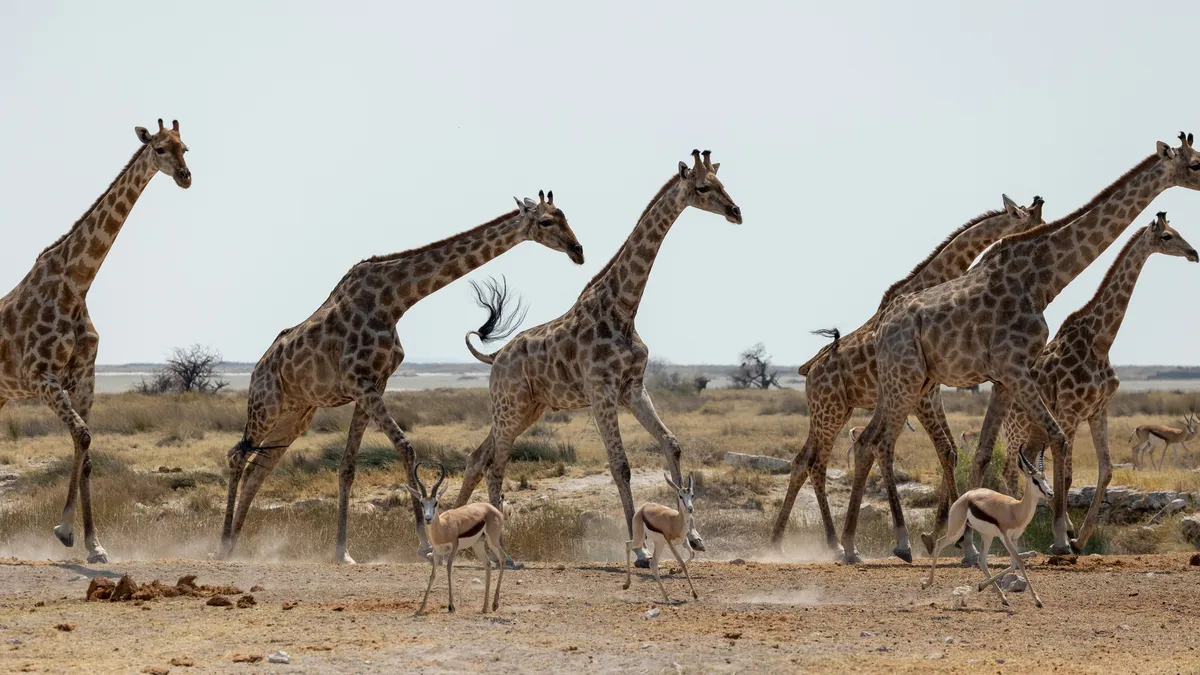
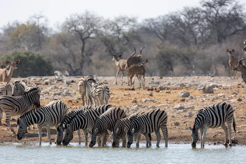
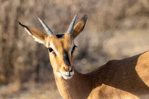
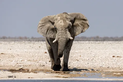
We entered Etosha from the east, through the old German fort of Namutoni, and crossed it along its vast white salt pan. In the dry season all life converges on the waterholes: zebras, kudu, springbok, galloping giraffes, and elephants powdered with chalky dust, white as ghosts, crossing the track without a glance at the cars.
By road↗ 56 km
Etosha, heading west
Namibia
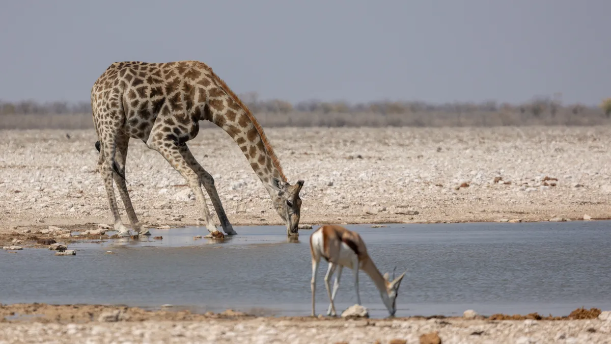
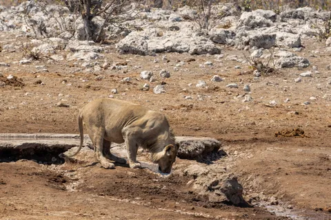
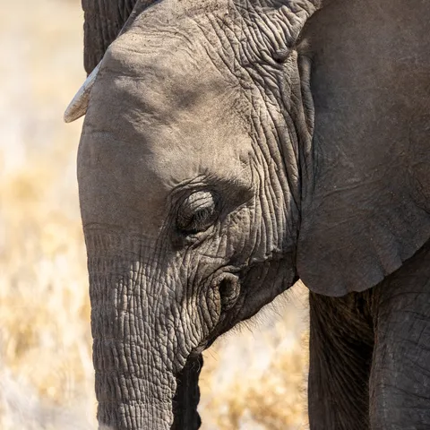
A second day in the park, heading west. A lioness comes to drink at noon, a giraffe splays its legs to reach the water, a mother elephant shelters her calf against her flank. On the white calcrete, the light is so harsh it bleaches out colour — only the zebras seem made for it.



By road↗ 60 km
Okaukuejo waterhole
Namibia
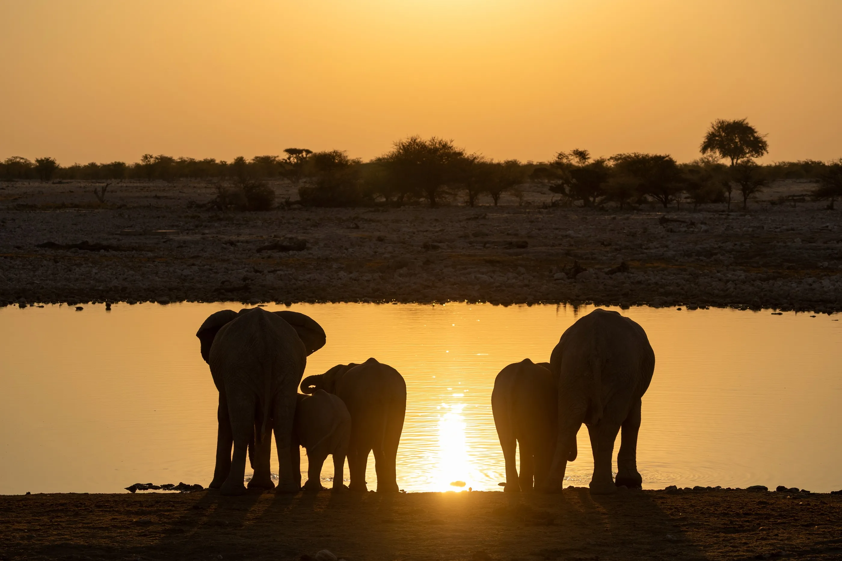
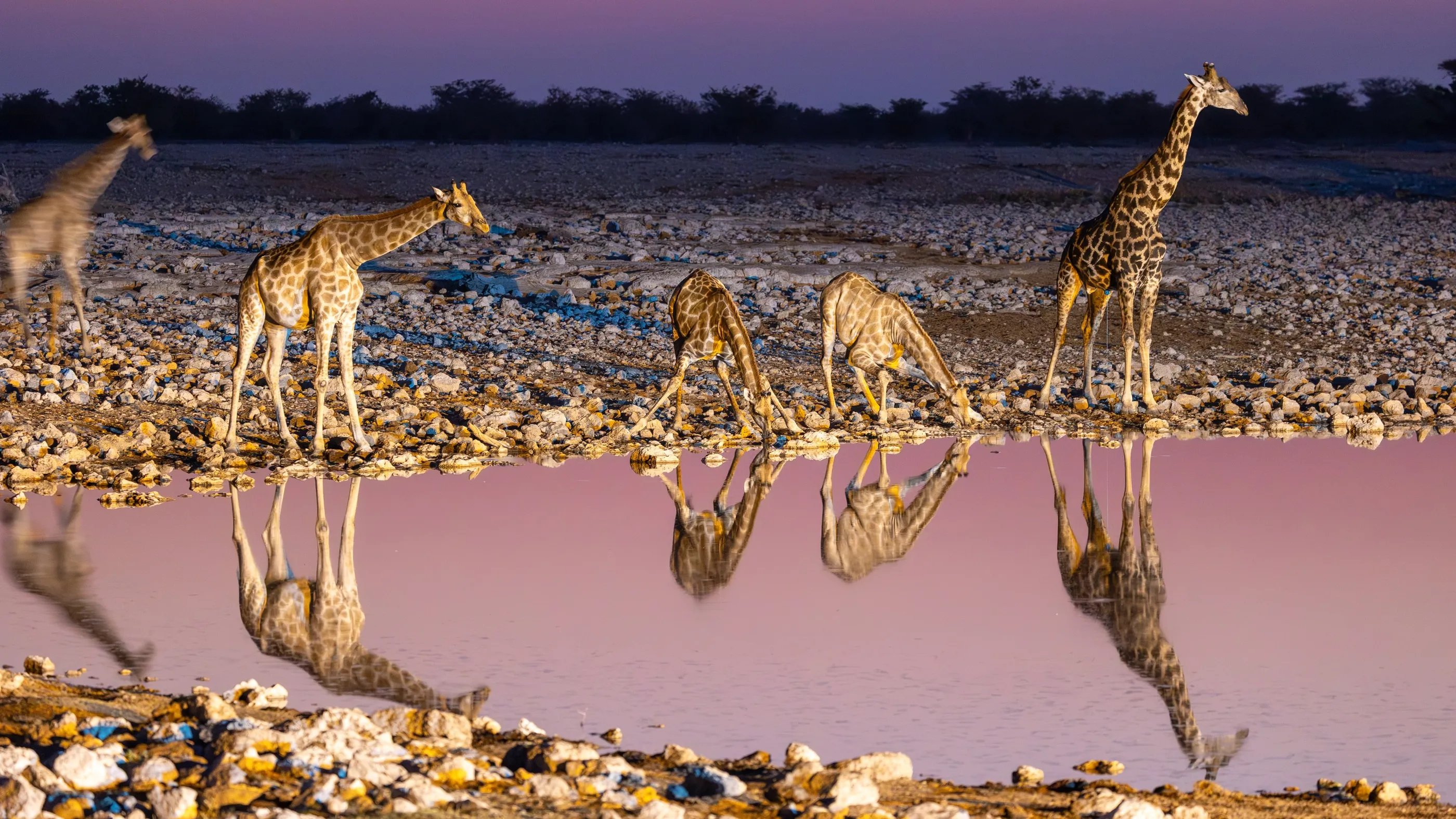
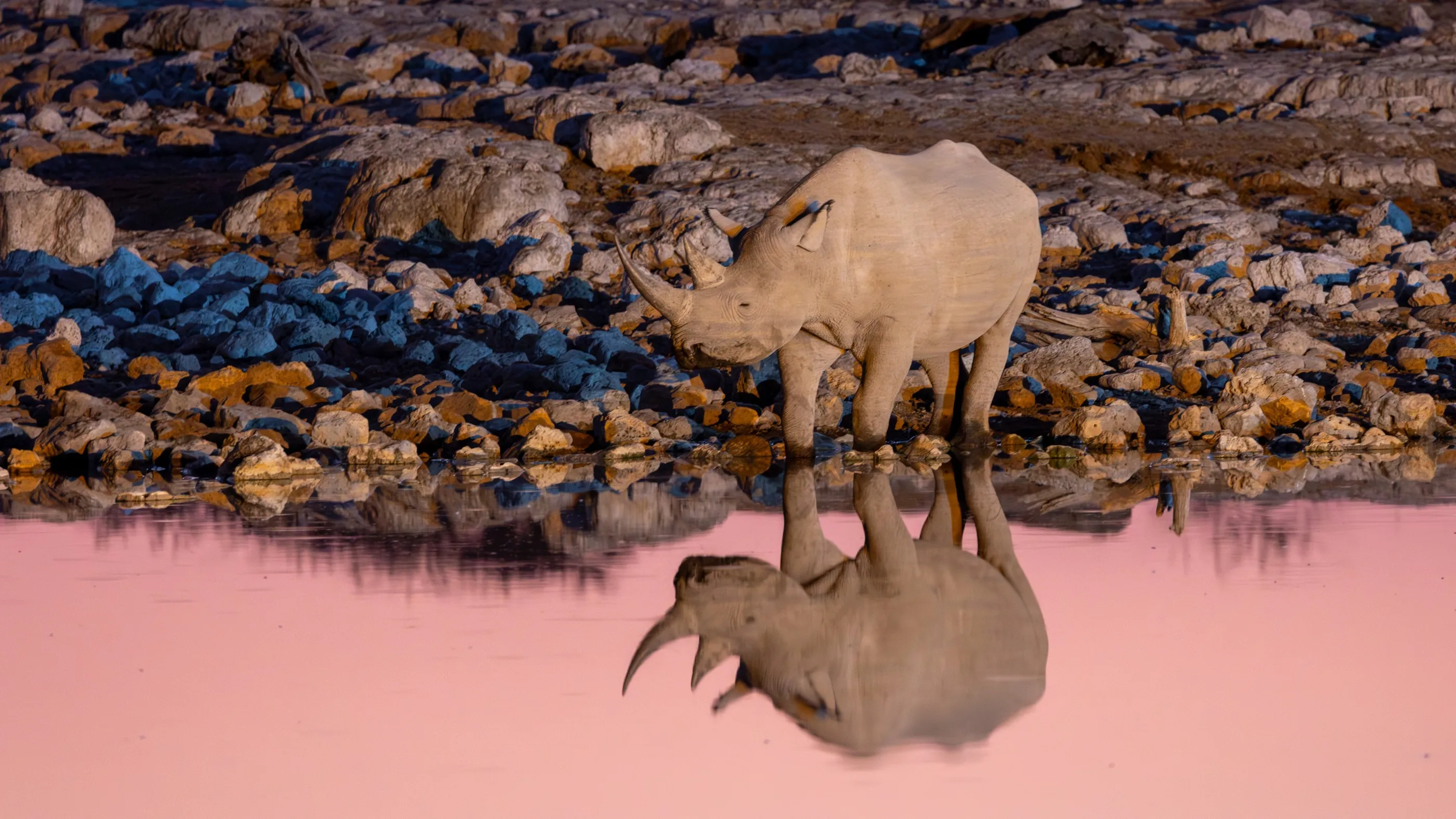
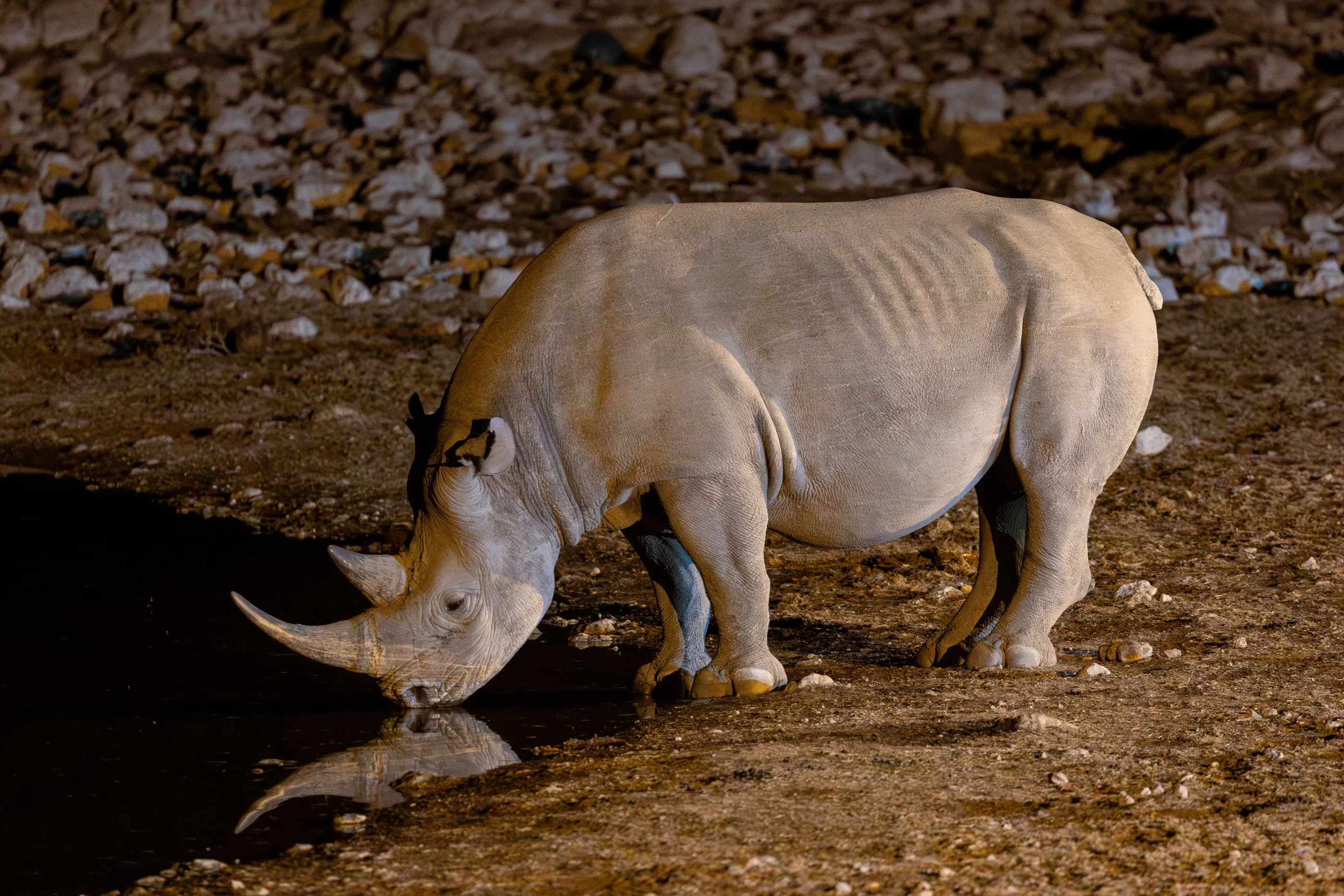
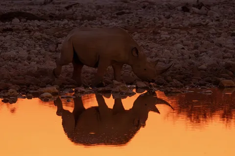
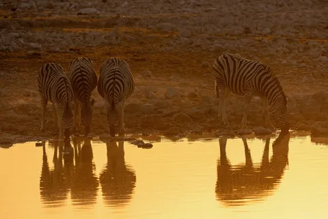
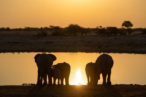
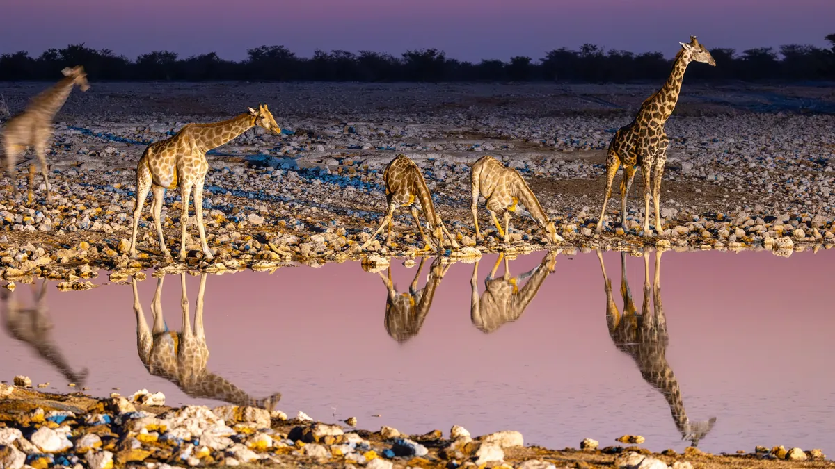
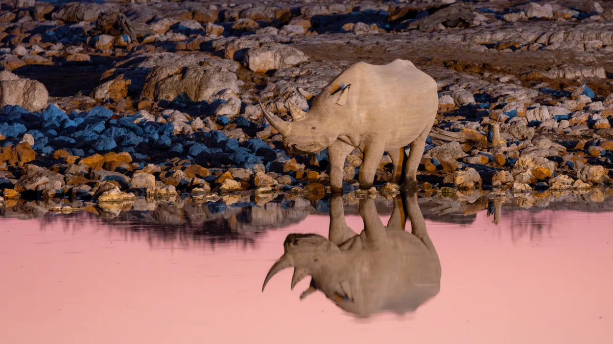
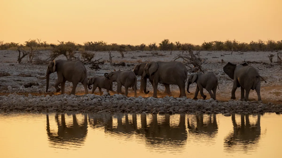
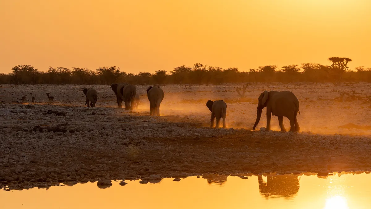
At Okaukuejo, the camp looks straight onto a waterhole floodlit at night. At the end of the day, zebras and then elephants come to drink in the golden water; as the sun disappears, a black rhino steps forward and its reflection glows orange, then pink. Giraffes follow in the dusk, and later, under the floodlights, several rhinos drink side by side.

By road↗ 202 km
Okonjima
Namibia
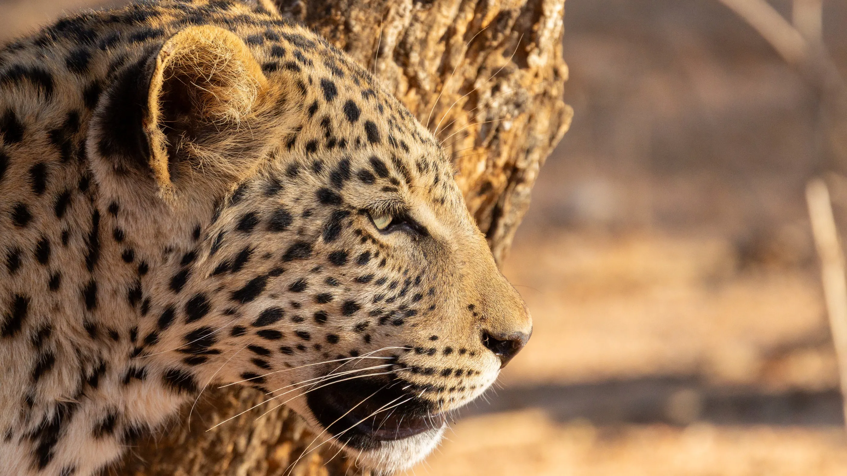
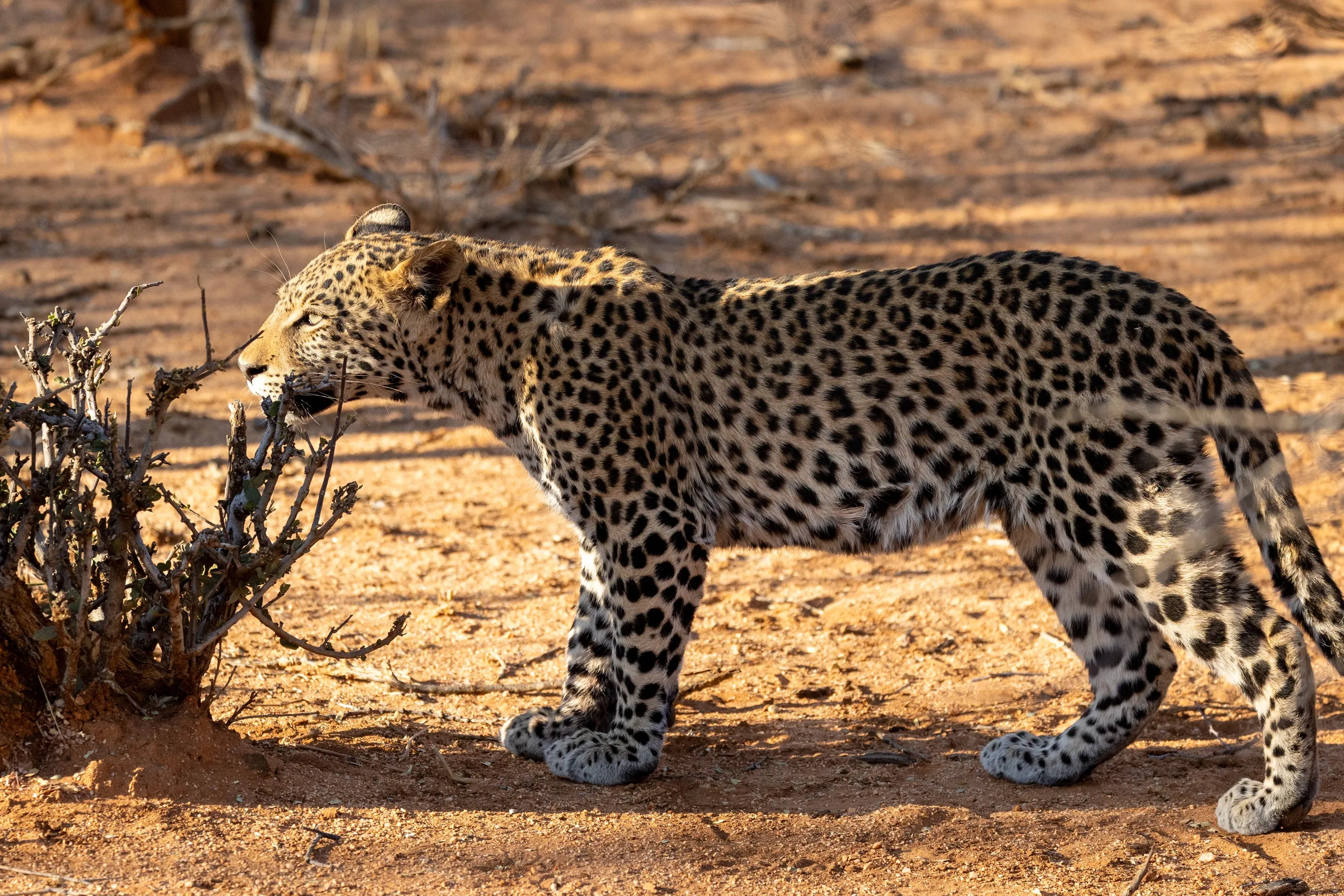
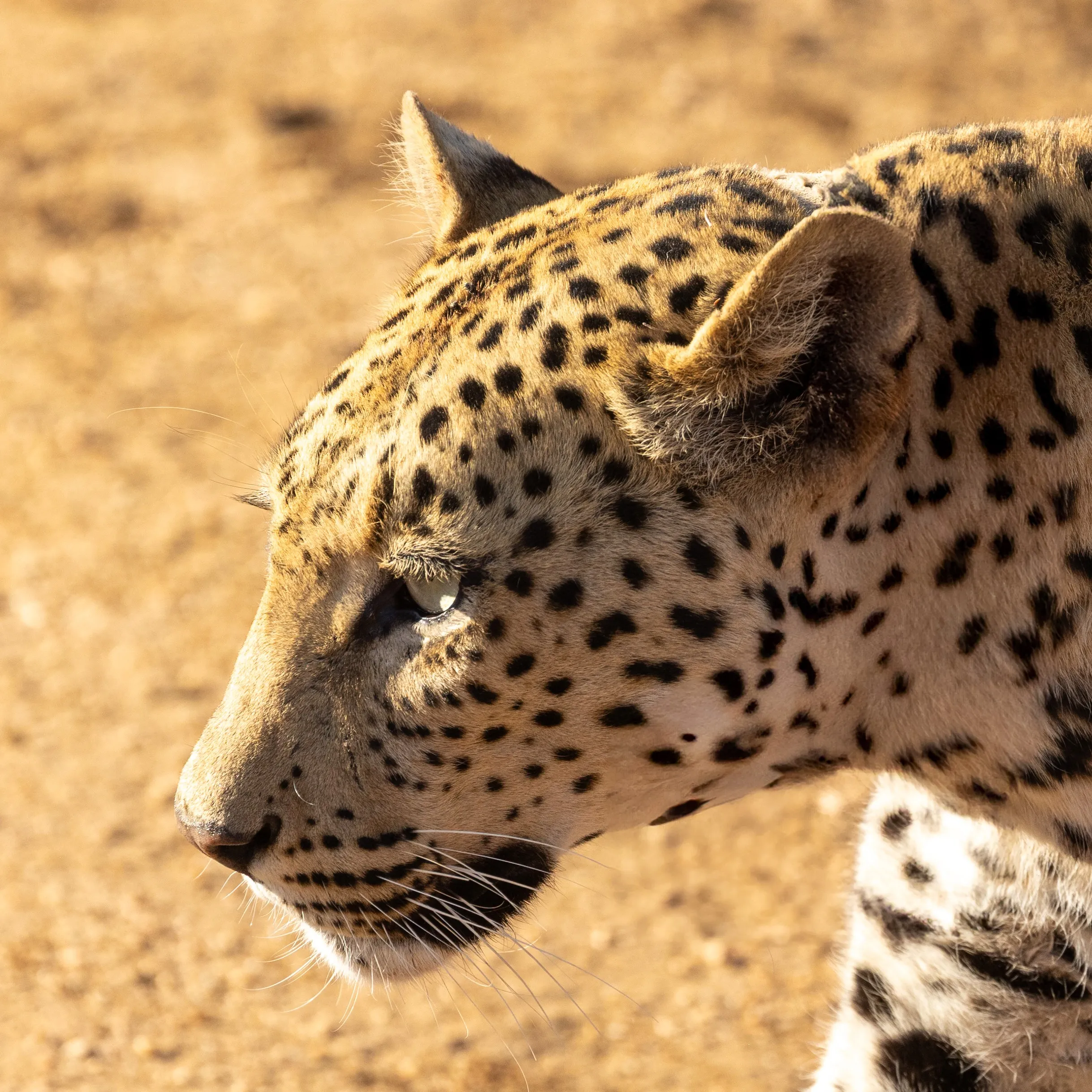
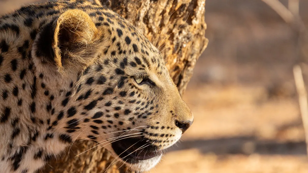
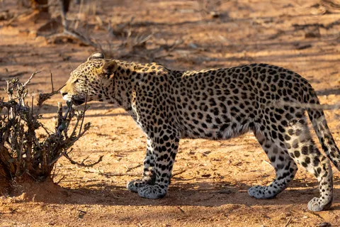
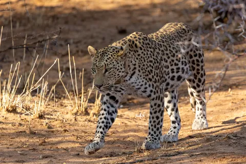
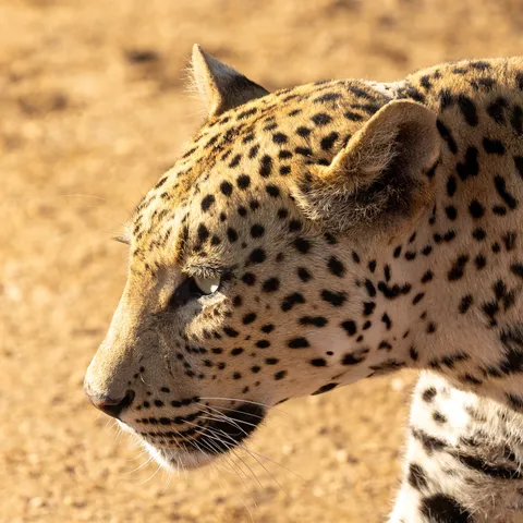
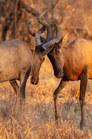
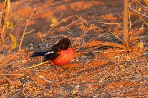
After Etosha, a last stop before Windhoek, in a reserve devoted to protecting big cats. One more night under the Milky Way, then, early in the morning, a leopard sniffing the bushes, crossing the track and pausing for a moment against a tree trunk. Around it, red hartebeest spar in the golden grass — the finest possible farewell.


By plane↗ 1,303 km
Johannesburg
South Africa
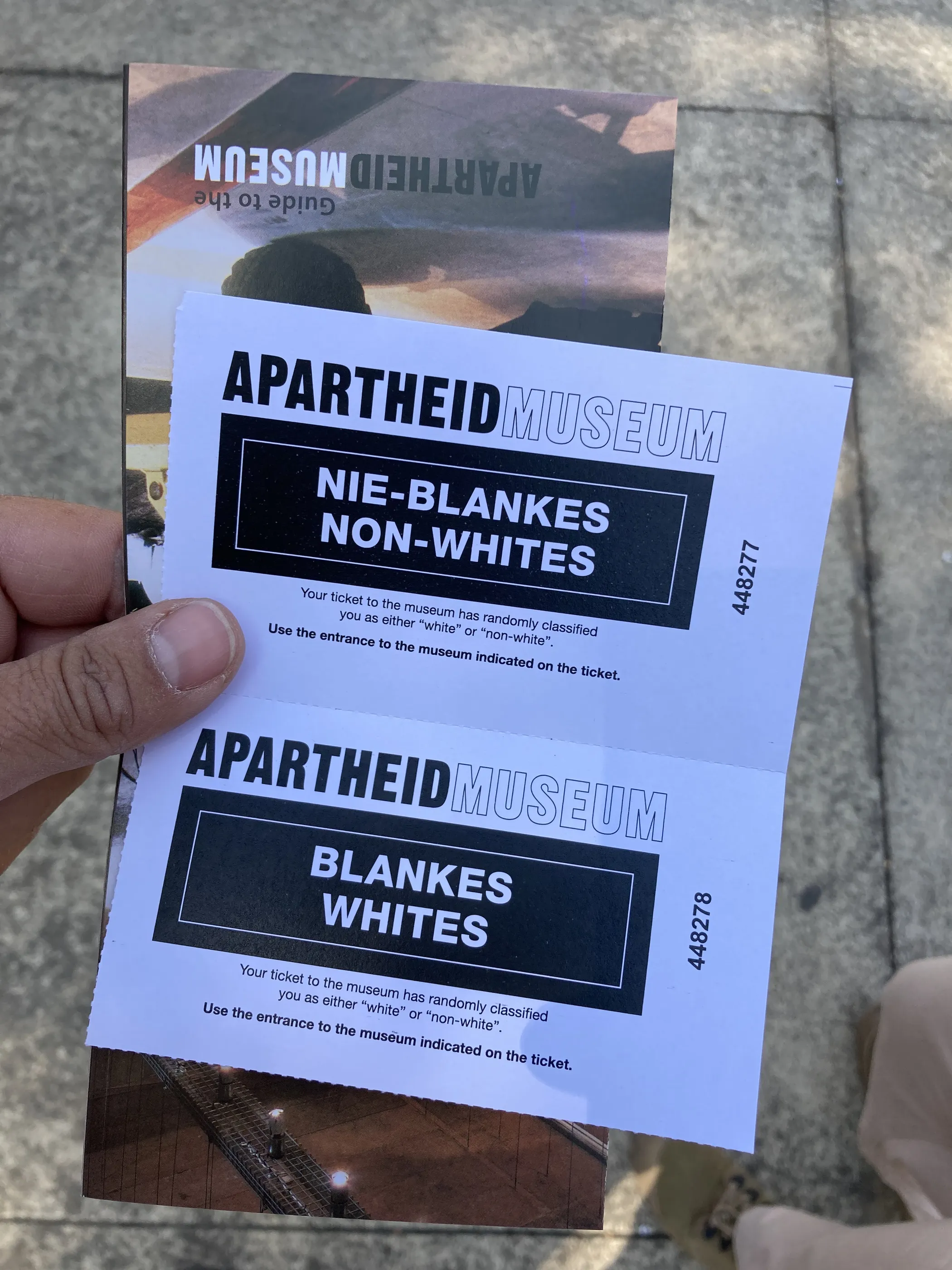
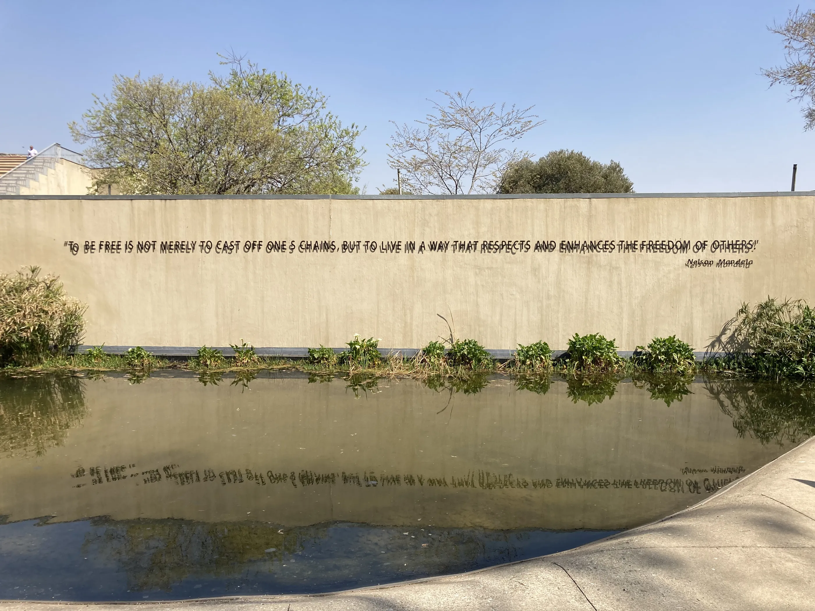
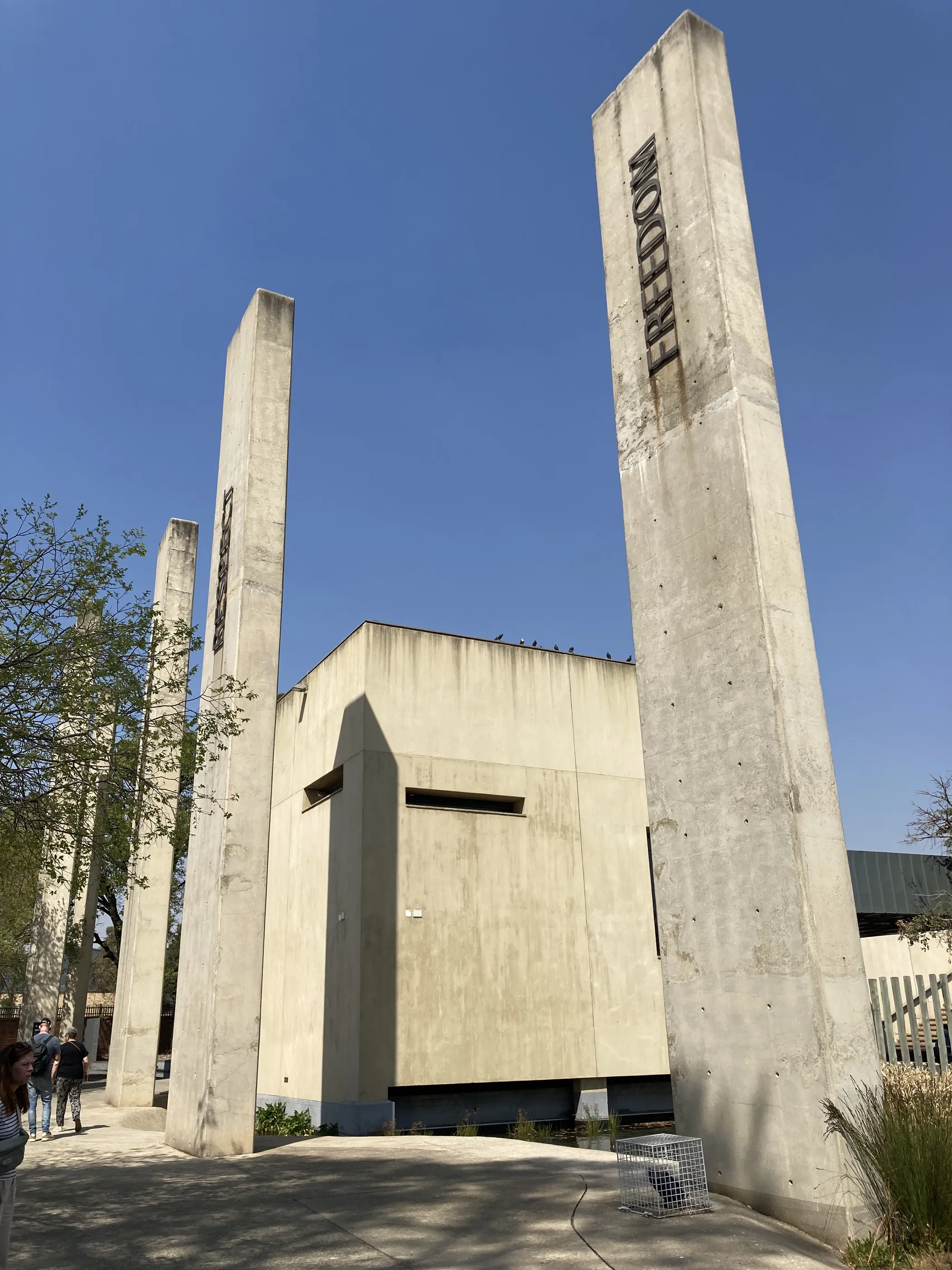
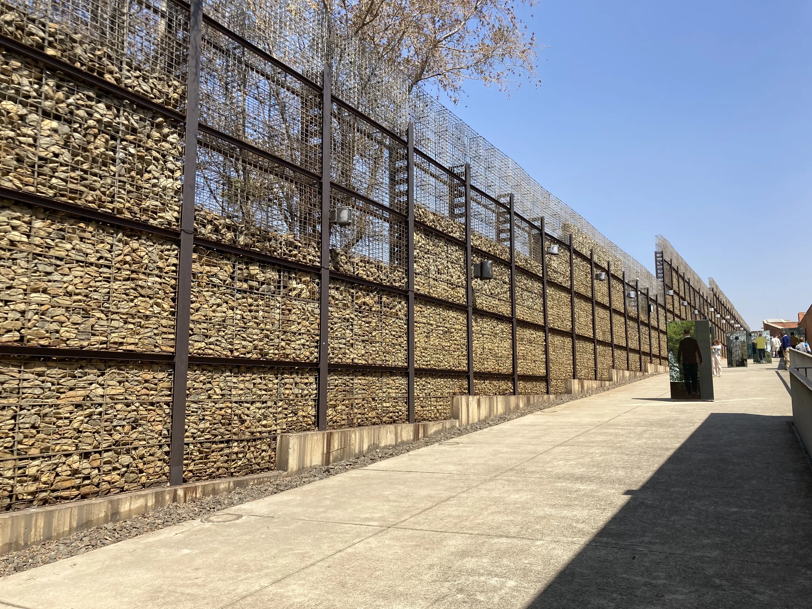
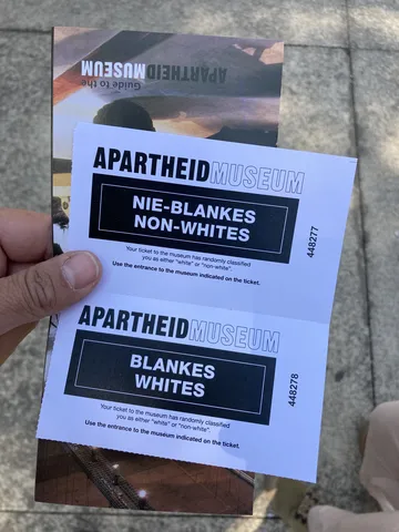
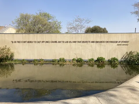
One last stop in Johannesburg before the flight home. At the Apartheid Museum, your ticket randomly classifies you as “Whites” or “Non-whites”, and everyone walks through the gate assigned to them: the visit begins with segregation itself. Outside, gabion walls, concrete pillars engraved with the values of the Constitution and, above a pool, Nelson Mandela’s words: to be free is not merely to cast off one’s chains, but to live in a way that respects and enhances the freedom of others.


Arrival
End of the journey
22 days · 5,250 km · 28 stops
Galleries of the countries crossed