Along the King’s Highway
From Amman to Dahab, from stone deserts to the Red Sea
6–24 August 2025
- days
- 19
- km
- 891
- countries
- 2Jordan · Egypt
- photos
- 138
Few lands stack so many layers of history into so short a distance. In August 2025 we crossed Jordan from north to south, following, more or less, the King’s Highway — the road the Israelites, according to the Book of Numbers, asked to take through Edom, that Nabataean caravans loaded with incense, and that Trajan had paved as the Via Nova Traiana. Neolithic statues from Ain Ghazal, Roman cities of the Decapolis, Umayyad desert palaces, Byzantine mosaics in Madaba, Crusader fortresses at Kerak and Shobak: each stop added another layer to the palimpsest.
Then came stone in its purest form: the rose and golden façades of Petra, the sandstone mountains of Wadi Rum under the Milky Way. We crossed the Gulf of Aqaba by ferry to Egyptian Sinai, climbed Mount Sinai (Jebel Musa) by night to watch day break over a chaos of granite, and ended the journey where the desert plunges into the Red Sea: in Dahab, underwater, among the corals.
Amman
Jordan
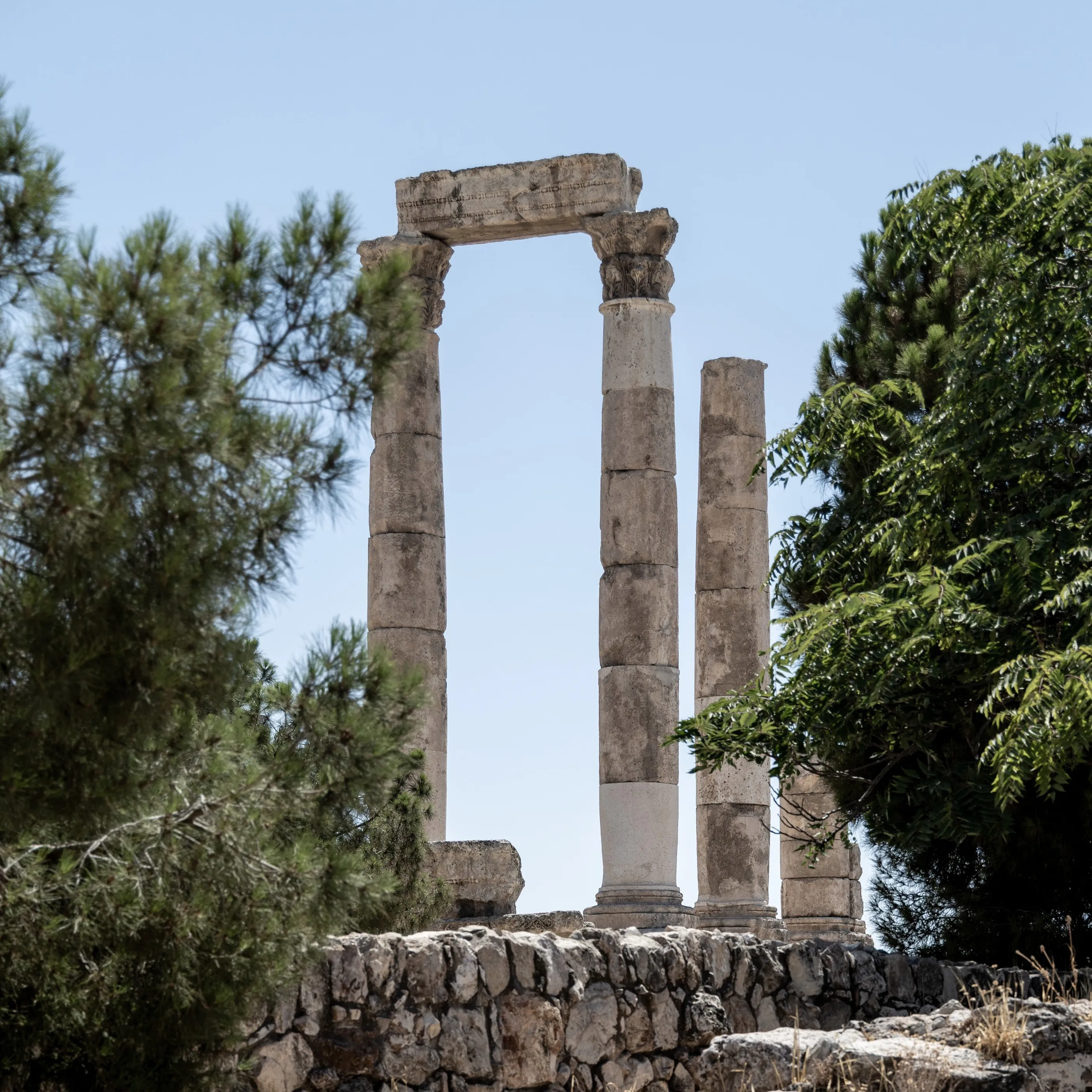
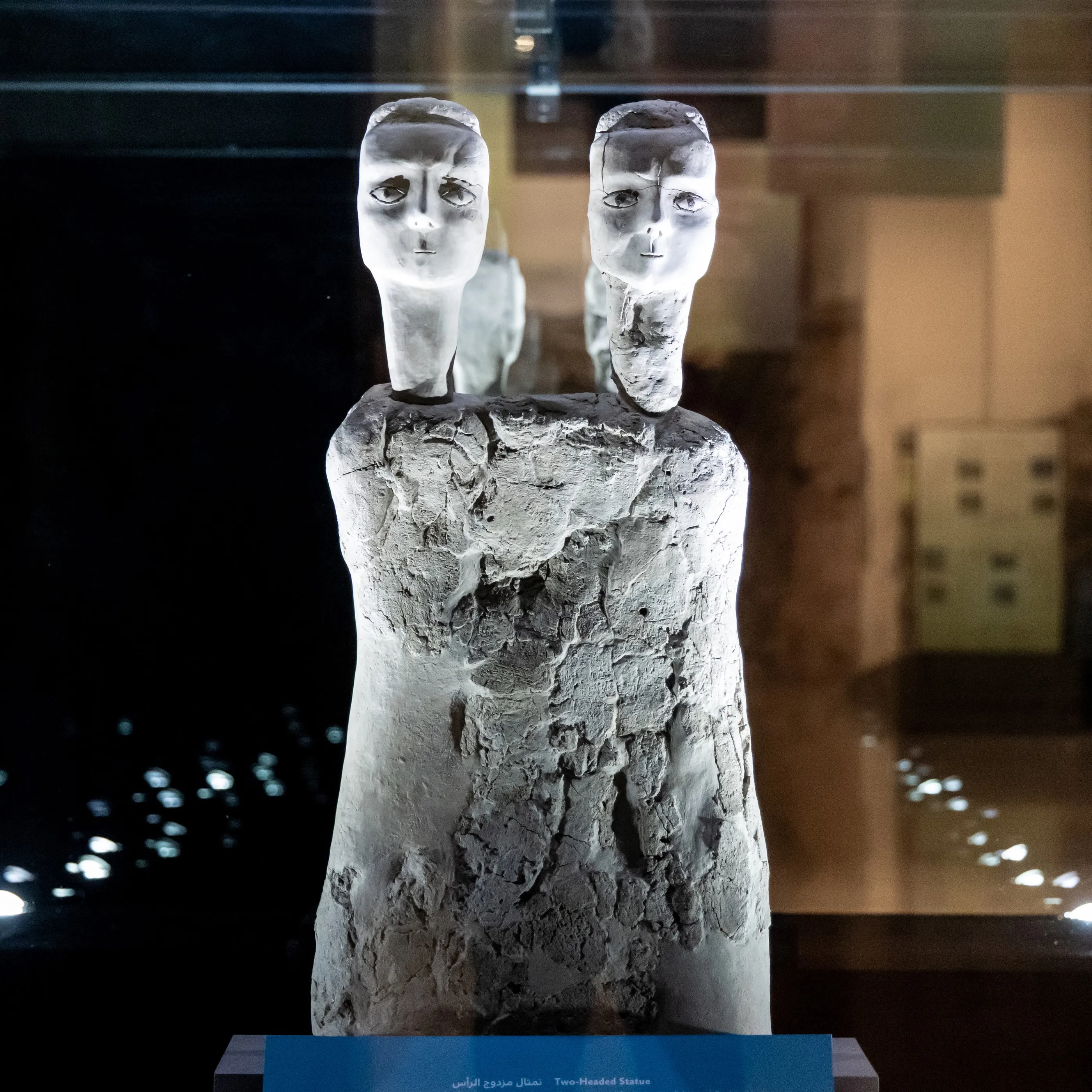
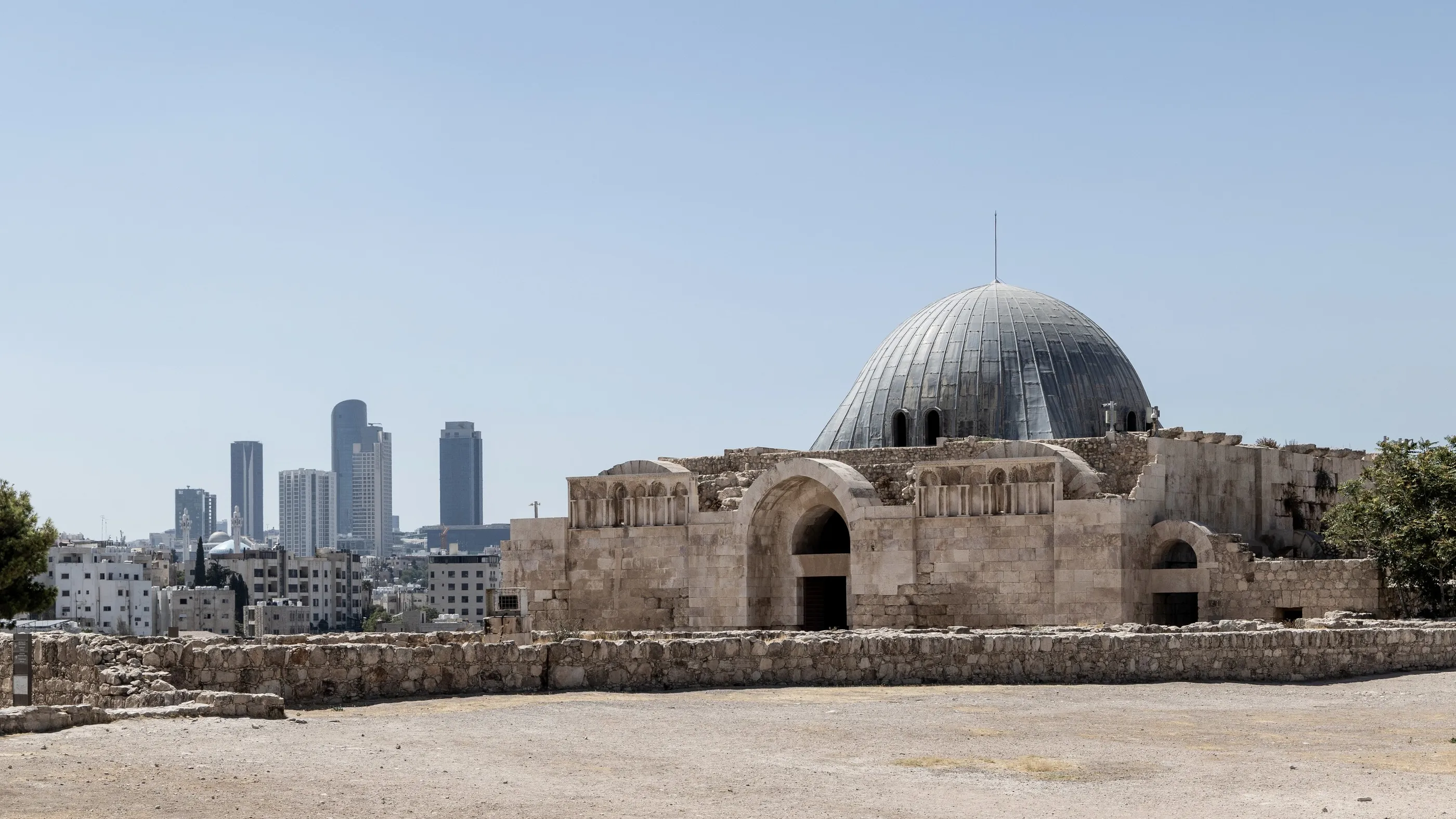
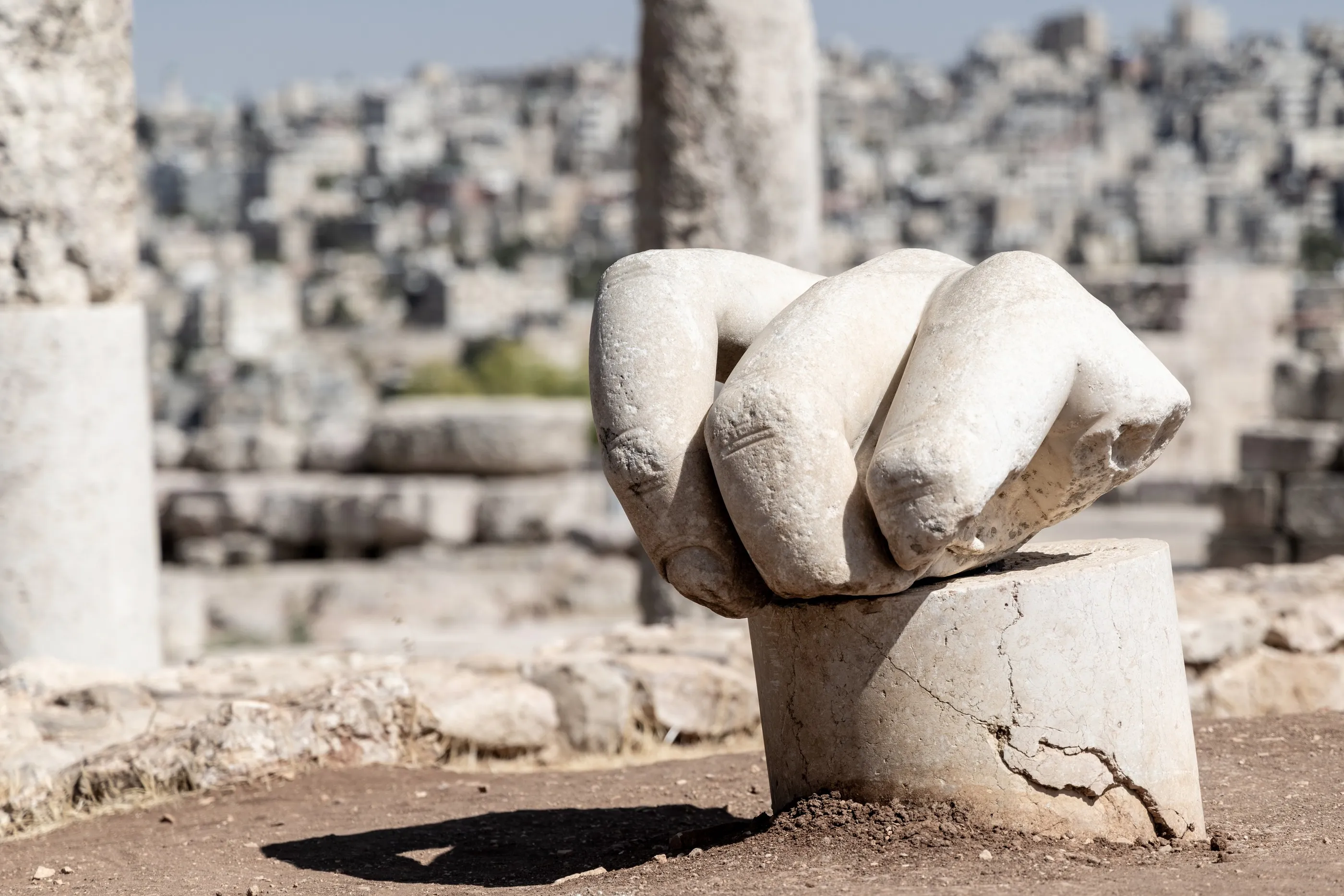
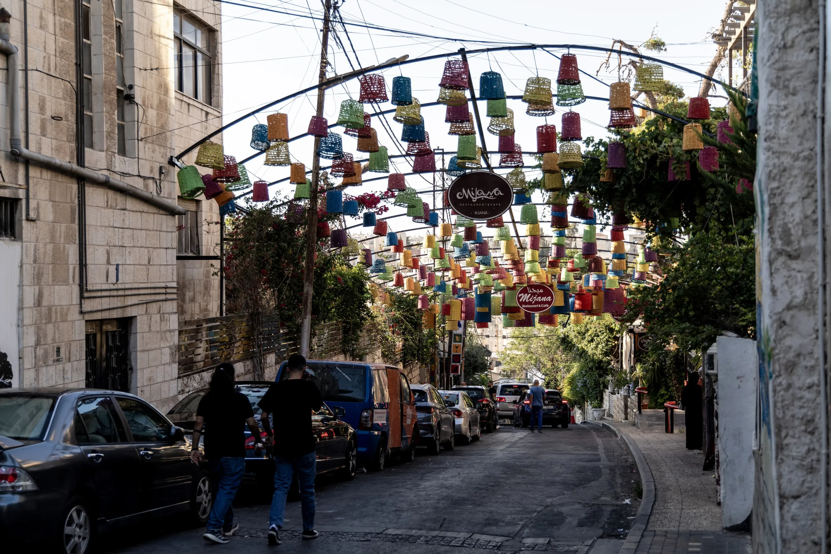
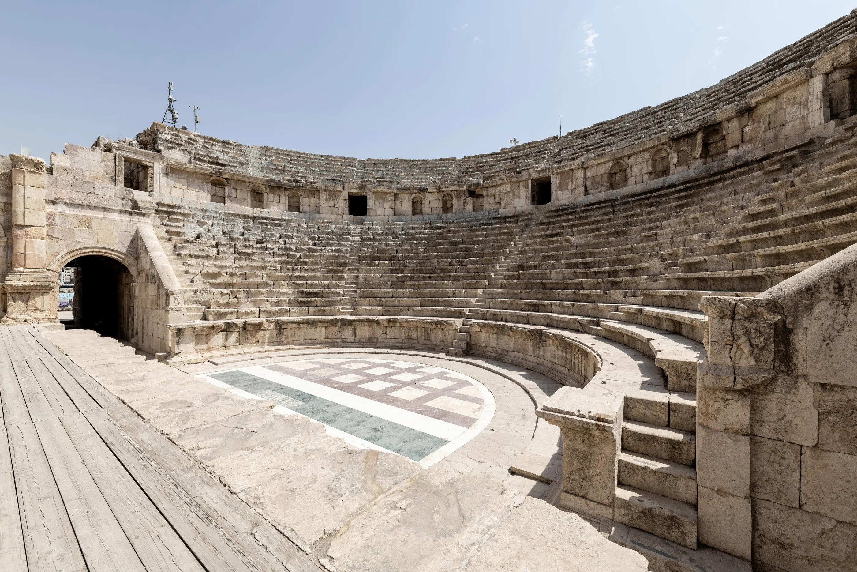
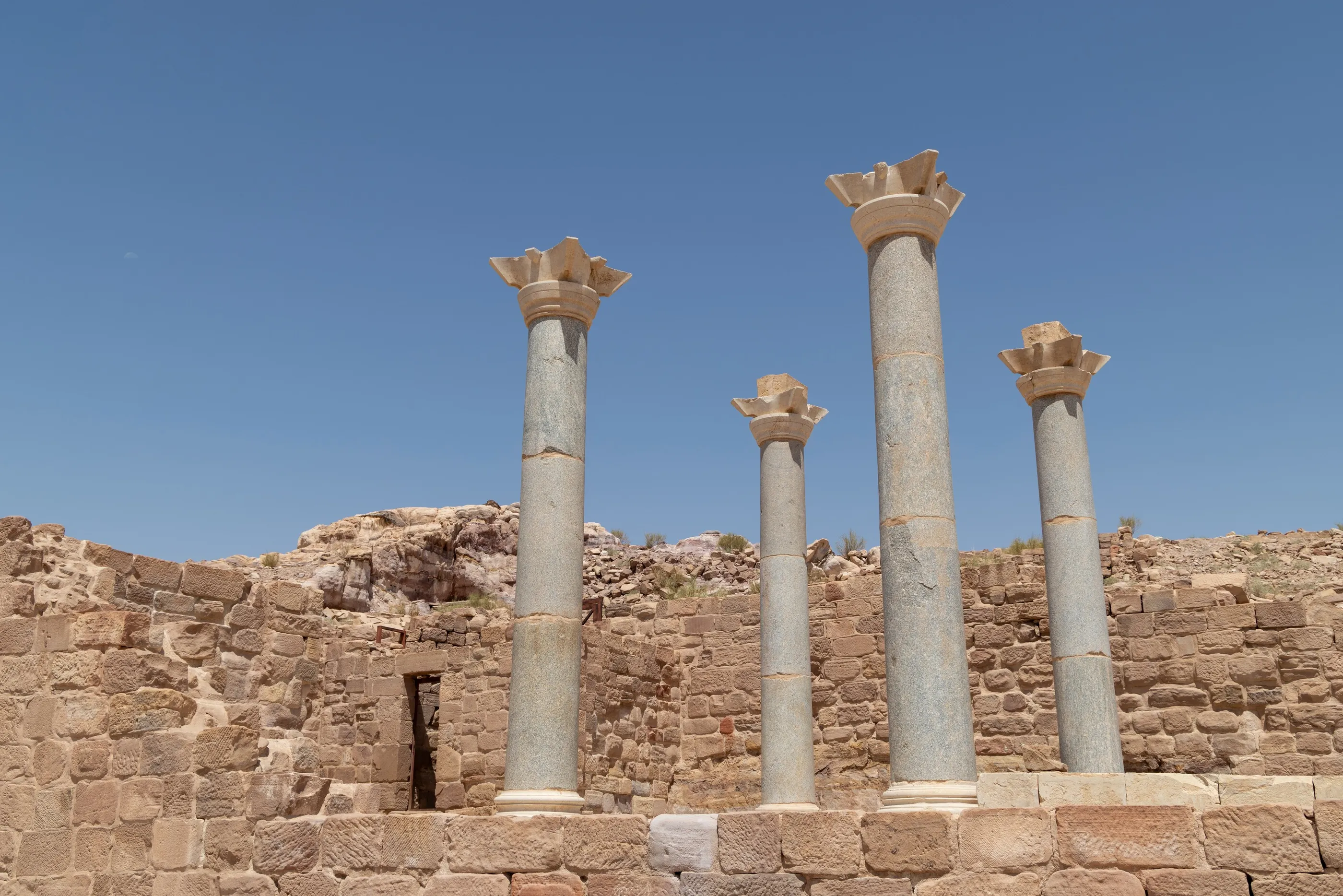
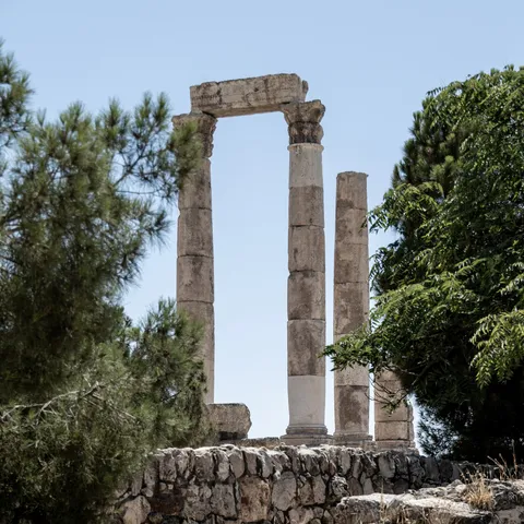
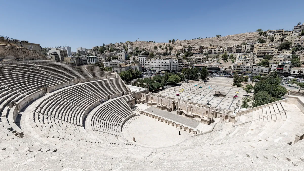
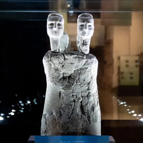
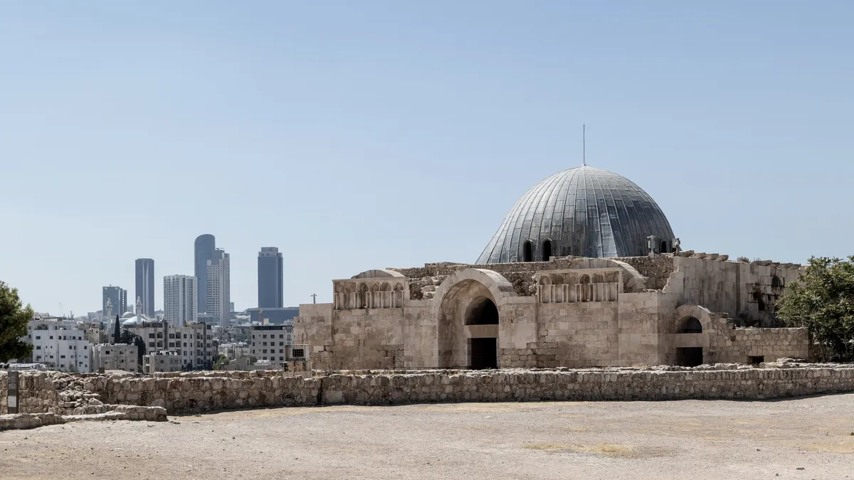
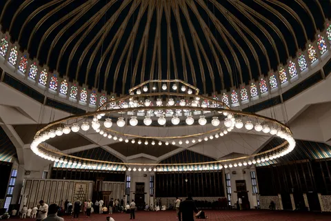
The journey begins on the hills of Amman, ancient Philadelphia of the Decapolis. On the Citadel, the columns of the Temple of Hercules, raised under Marcus Aurelius, overlook the Roman theatre cut into the hillside and a sea of white houses. In the Jordan Museum, the plaster statues of Ain Ghazal, nearly nine thousand years old, stare at us with their bitumen-rimmed eyes — among the oldest monumental human figures known. In the evening, the city gathers on Rainbow Street, under strings of colourful lanterns.


By road↗ 64 km
The Desert Castles
Jordan
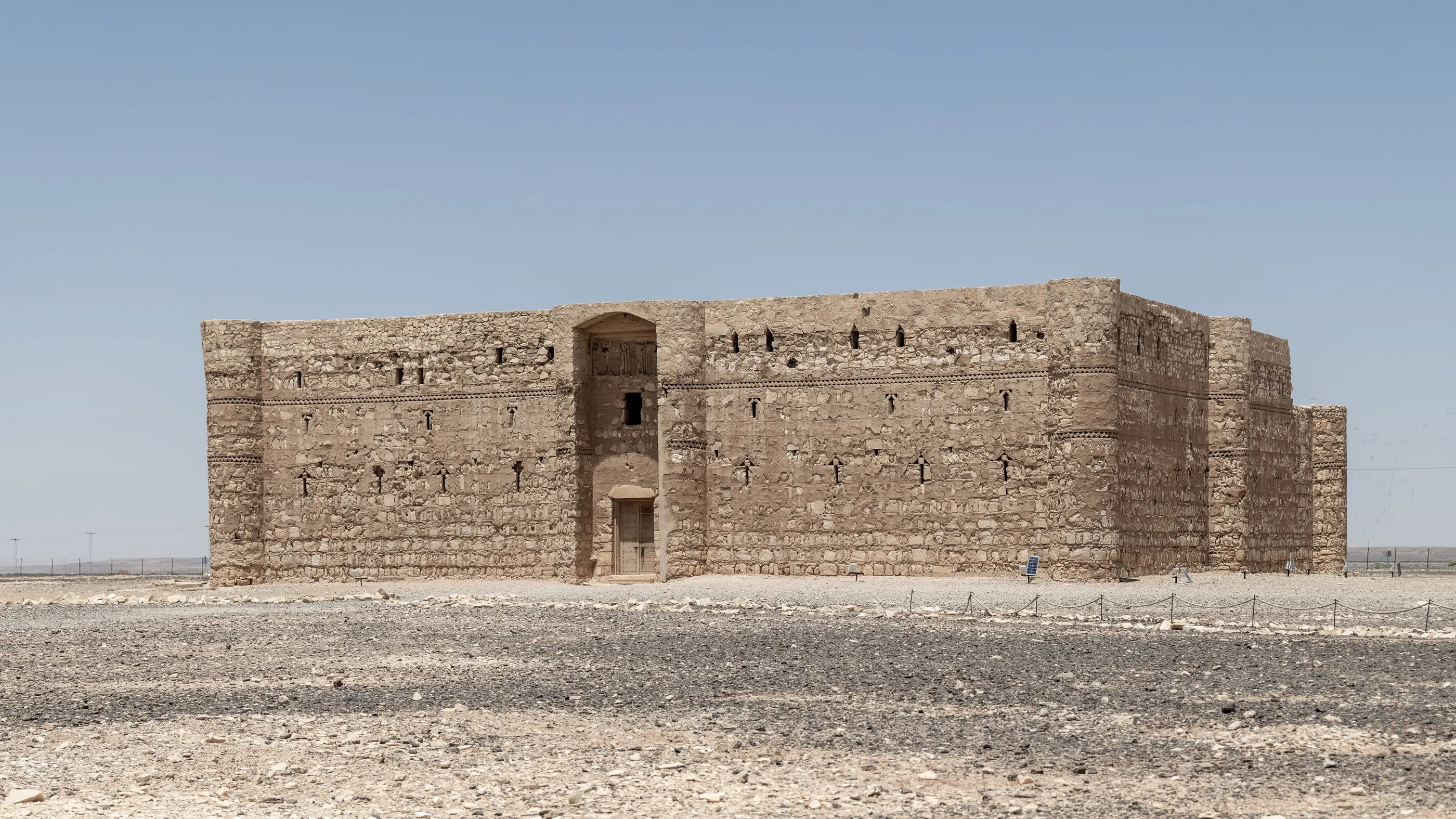
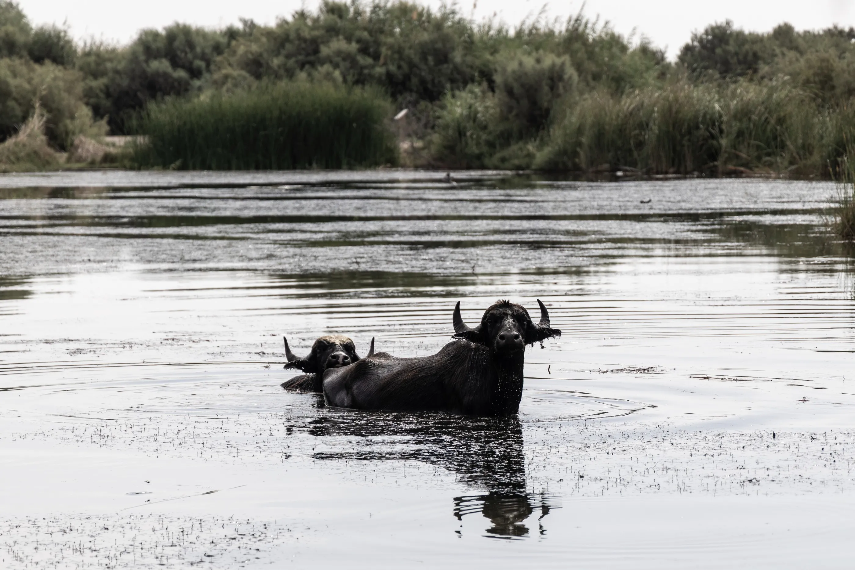
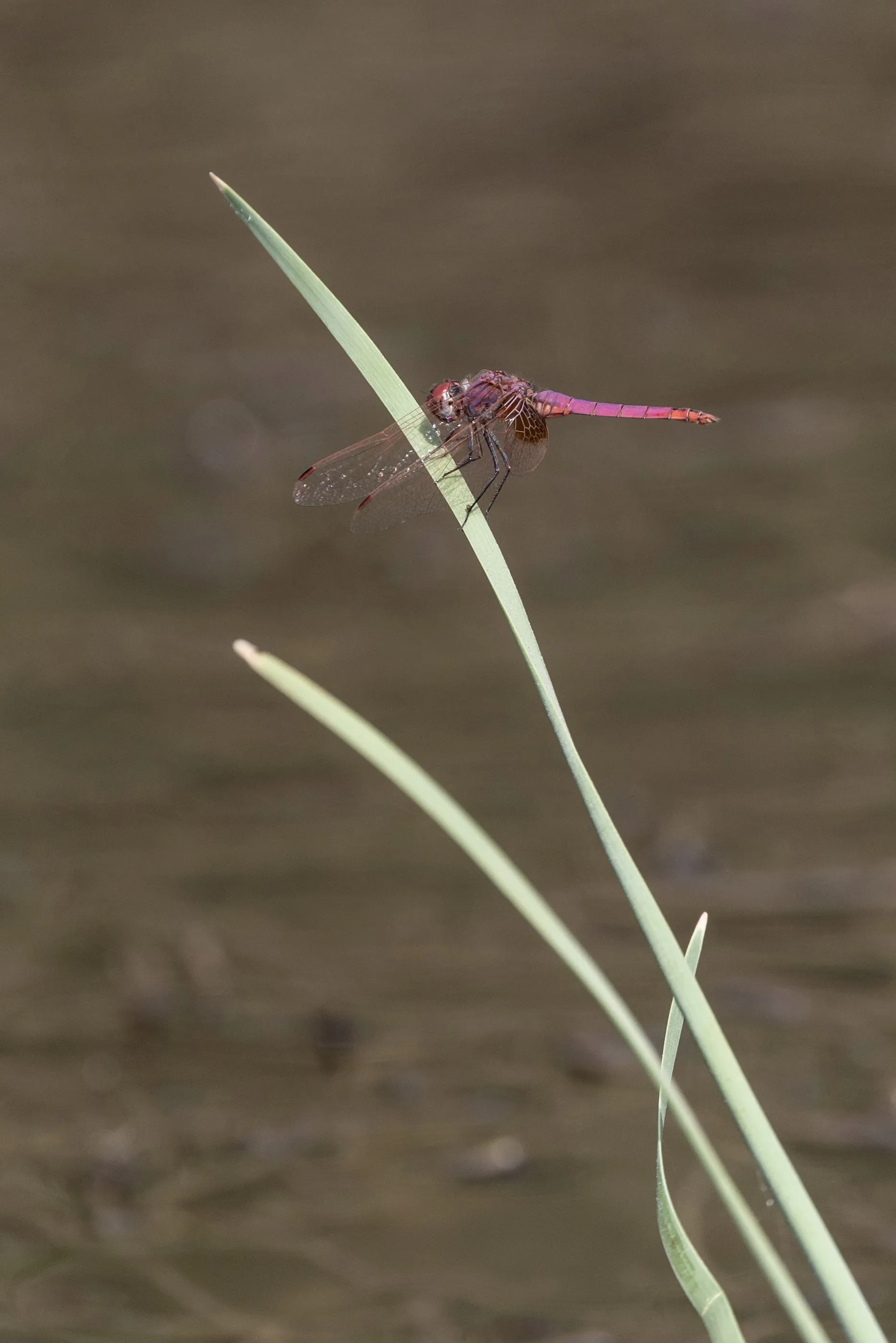
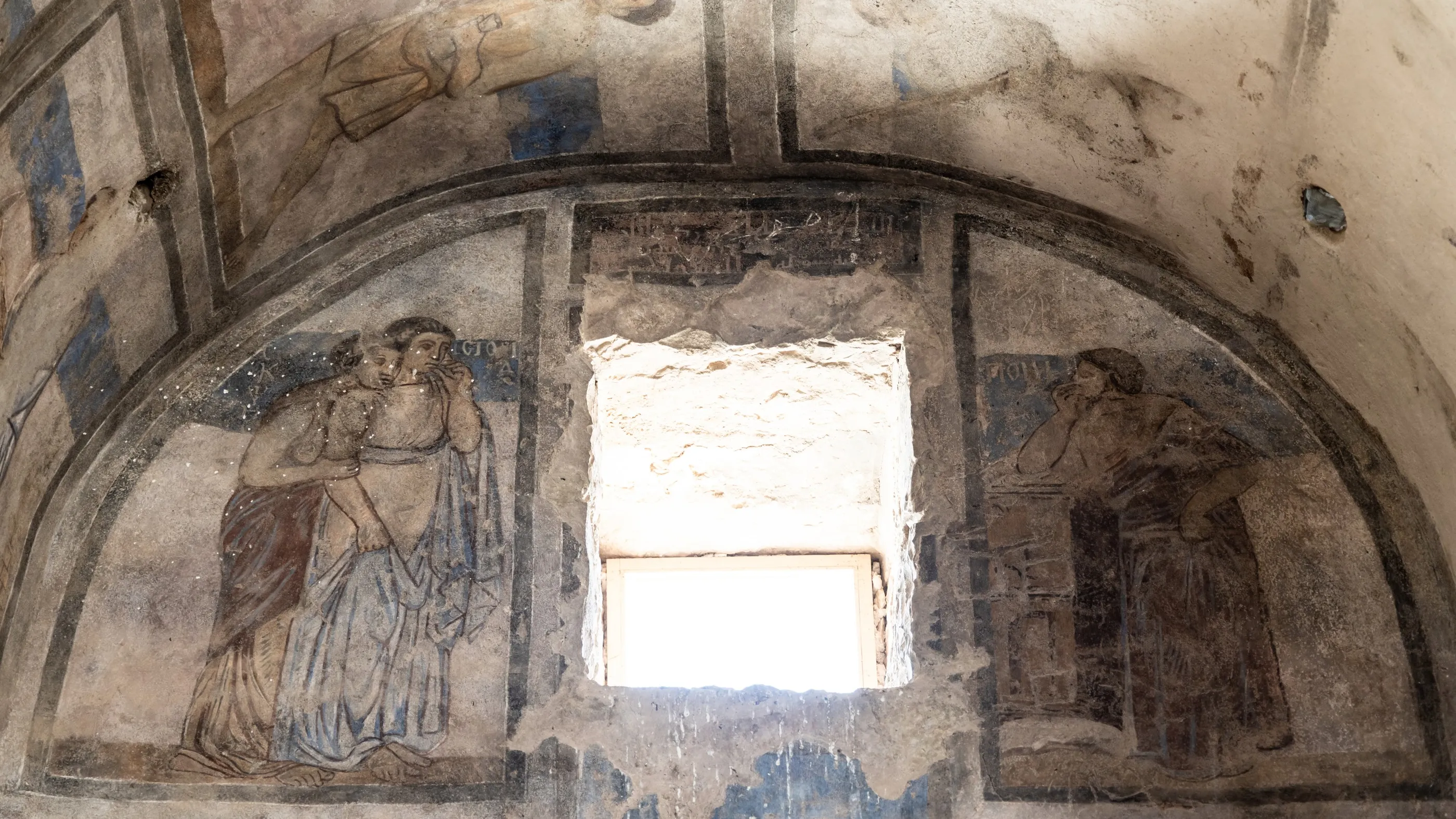
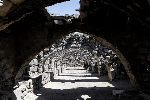
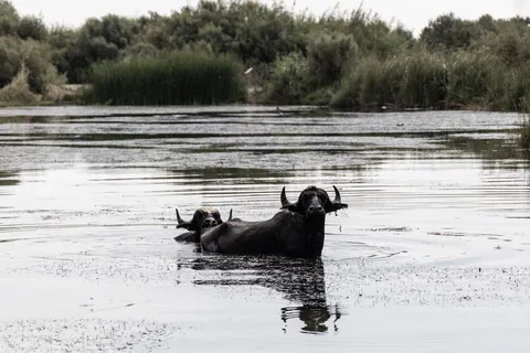
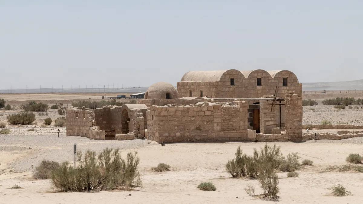
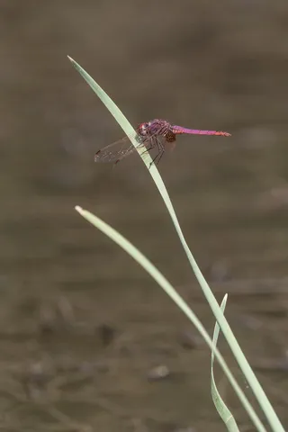
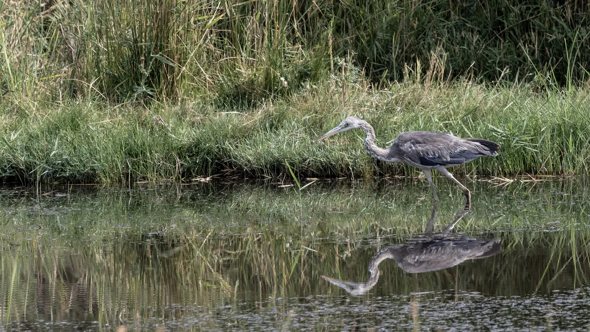
East of Amman, the steppe opens onto the “desert castles” of the Umayyad caliphs. Qasr Kharana, massive and windowless like a fort, then Qusayr Amra, a small bathhouse of the early eighth century whose frescoes — hunts, bathers, musicians and a zodiac sky painted under the dome — earned it a UNESCO listing. At Azraq, the black basalt fortress where Lawrence spent the winter of 1917; at dawn, the water buffalo and dragonflies of the last oasis of the eastern desert, nearly drained by pumping for Amman.



By road↗ 62 km
Hallabat and Umm el-Jimal
Jordan
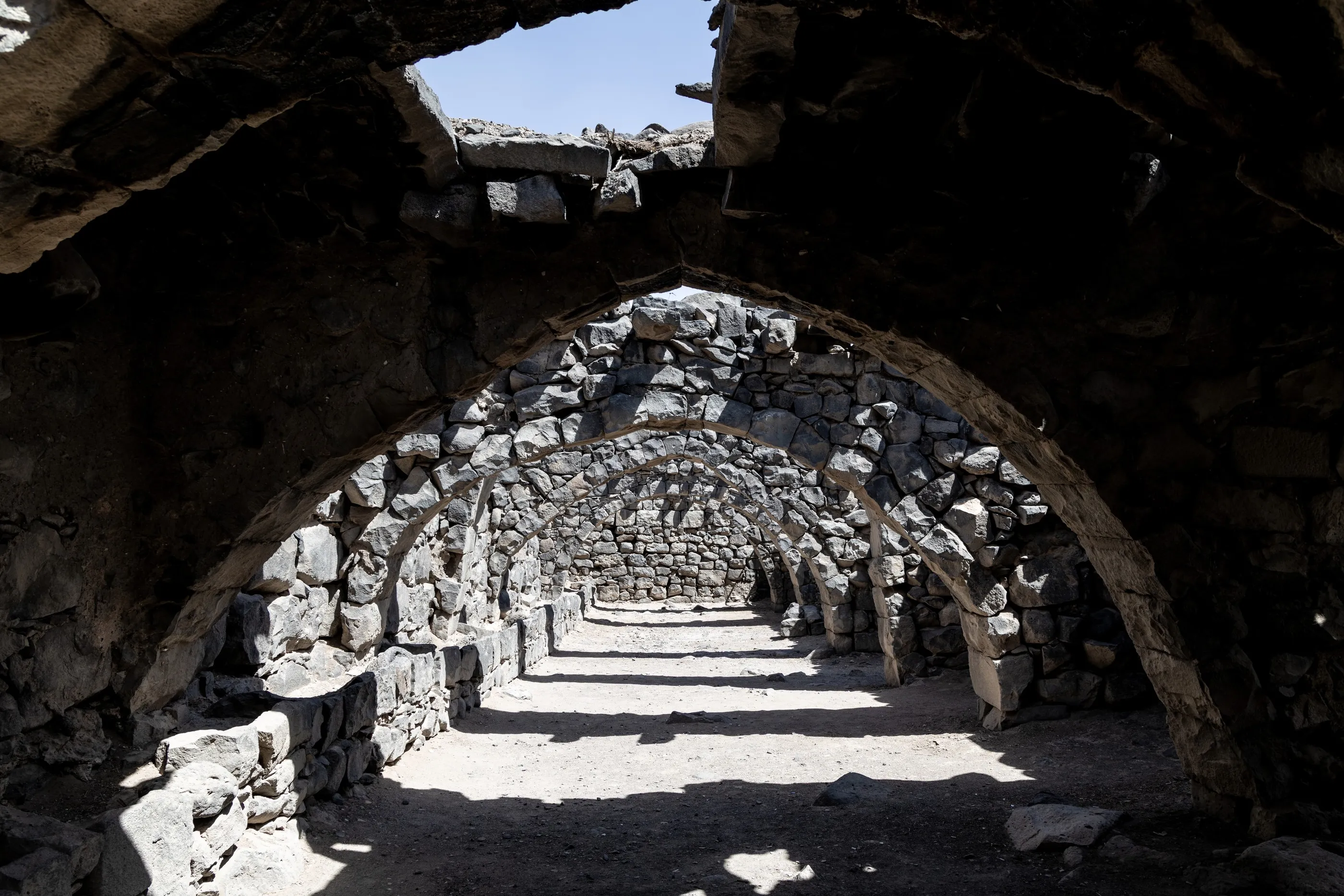
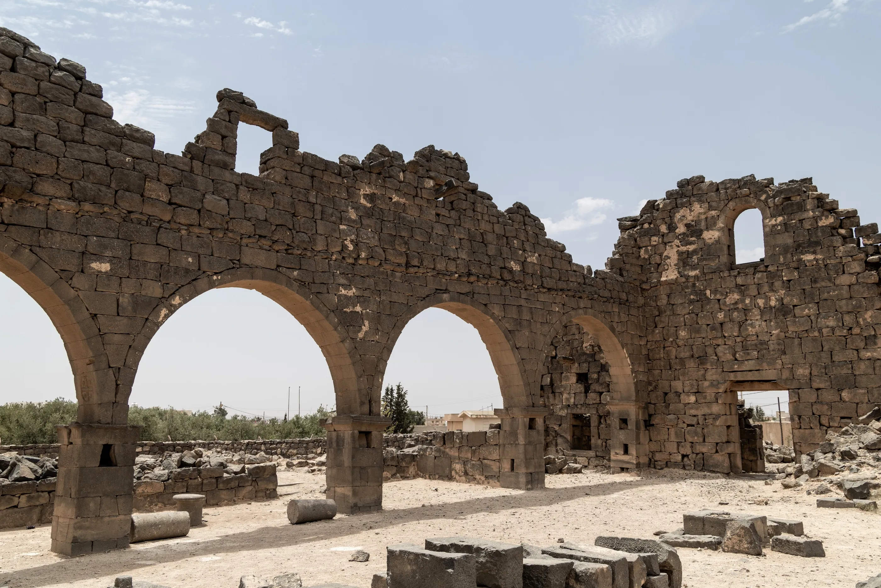
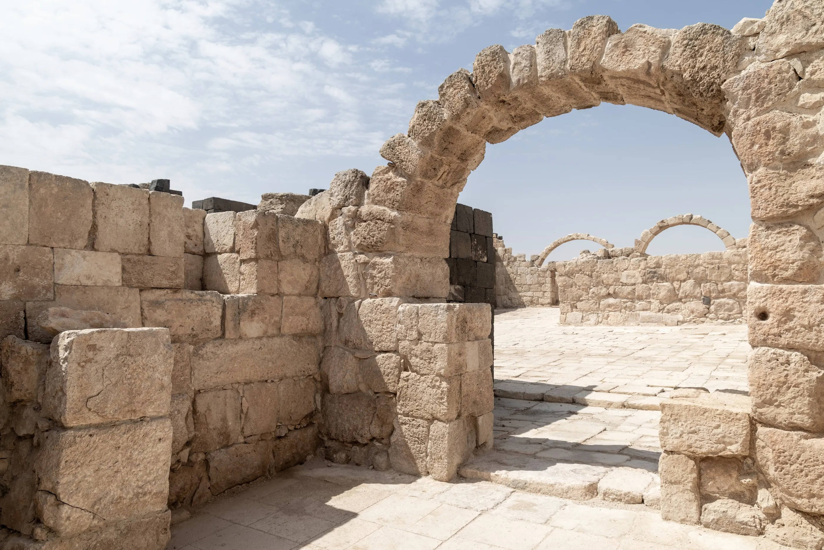
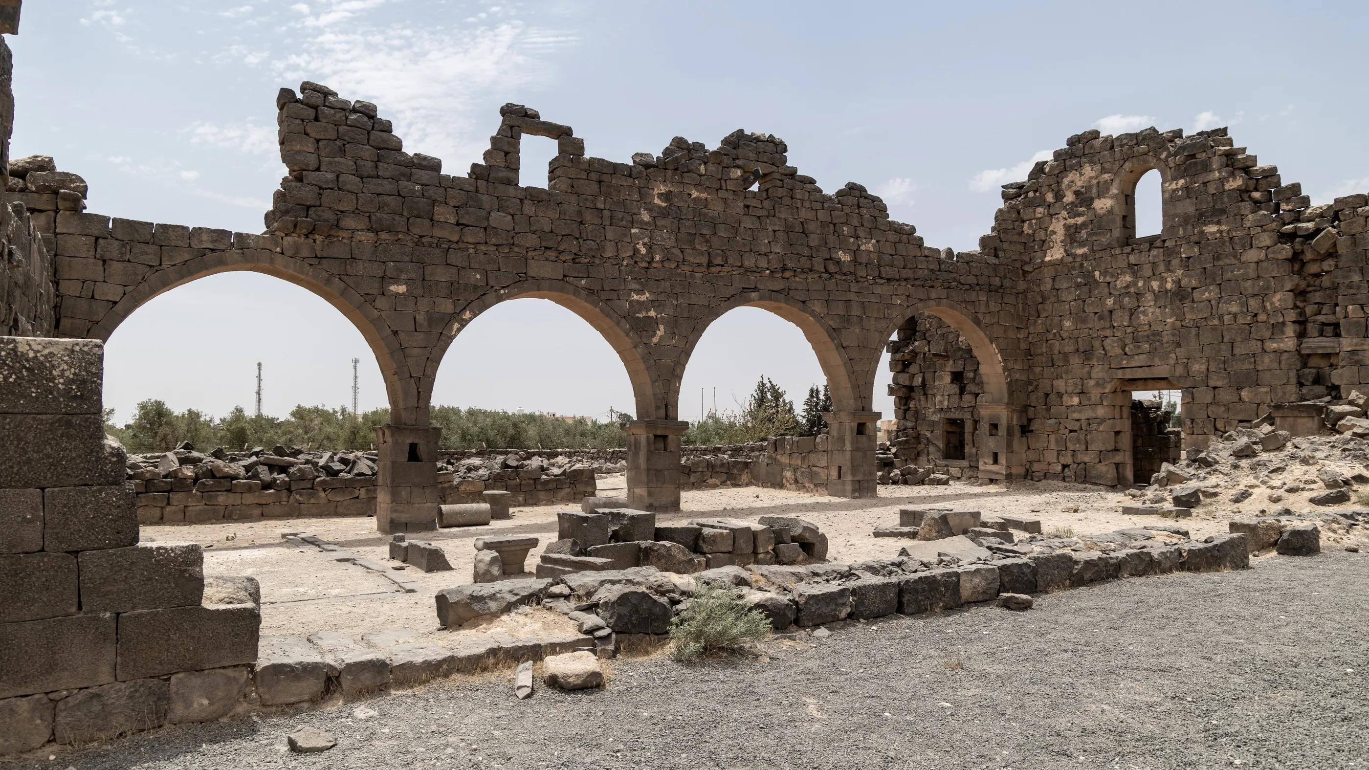
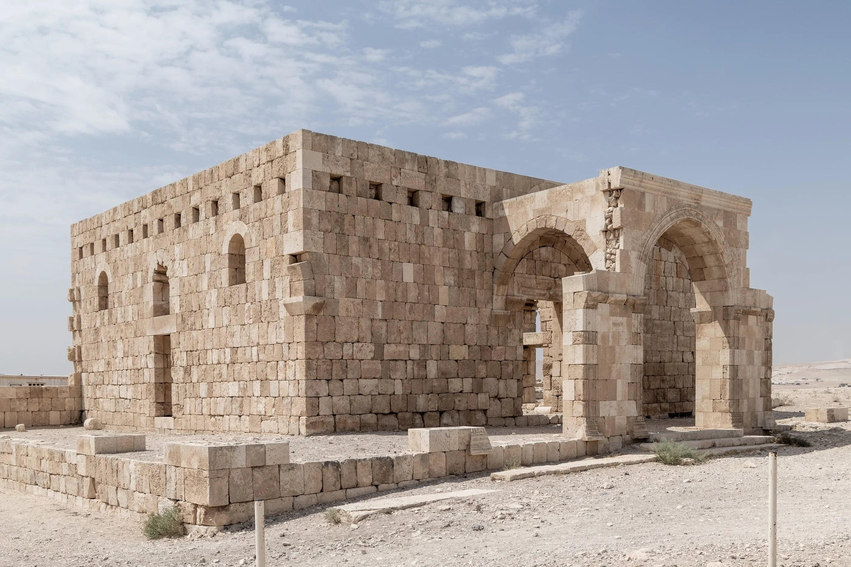
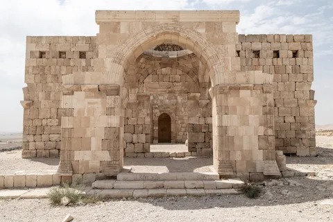
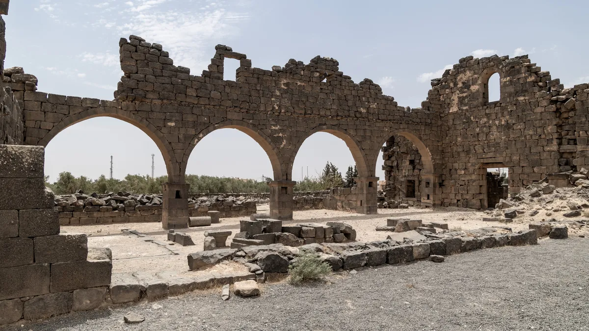
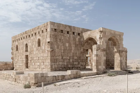
On the road north, Qasr al-Hallabat tells several centuries on its own: a Roman fort on the limes, turned monastery and then Umayyad palace, with the baths of Hammam as-Sarah a few kilometres away. Further on, Umm el-Jimal, the “black oasis”: an entire town of basalt, Nabataean, then Roman and Byzantine, where the arches of its churches still stand in the hot wind, a few kilometres from the Syrian border.



By road↗ 74 km
Umm Qais and Pella
Jordan
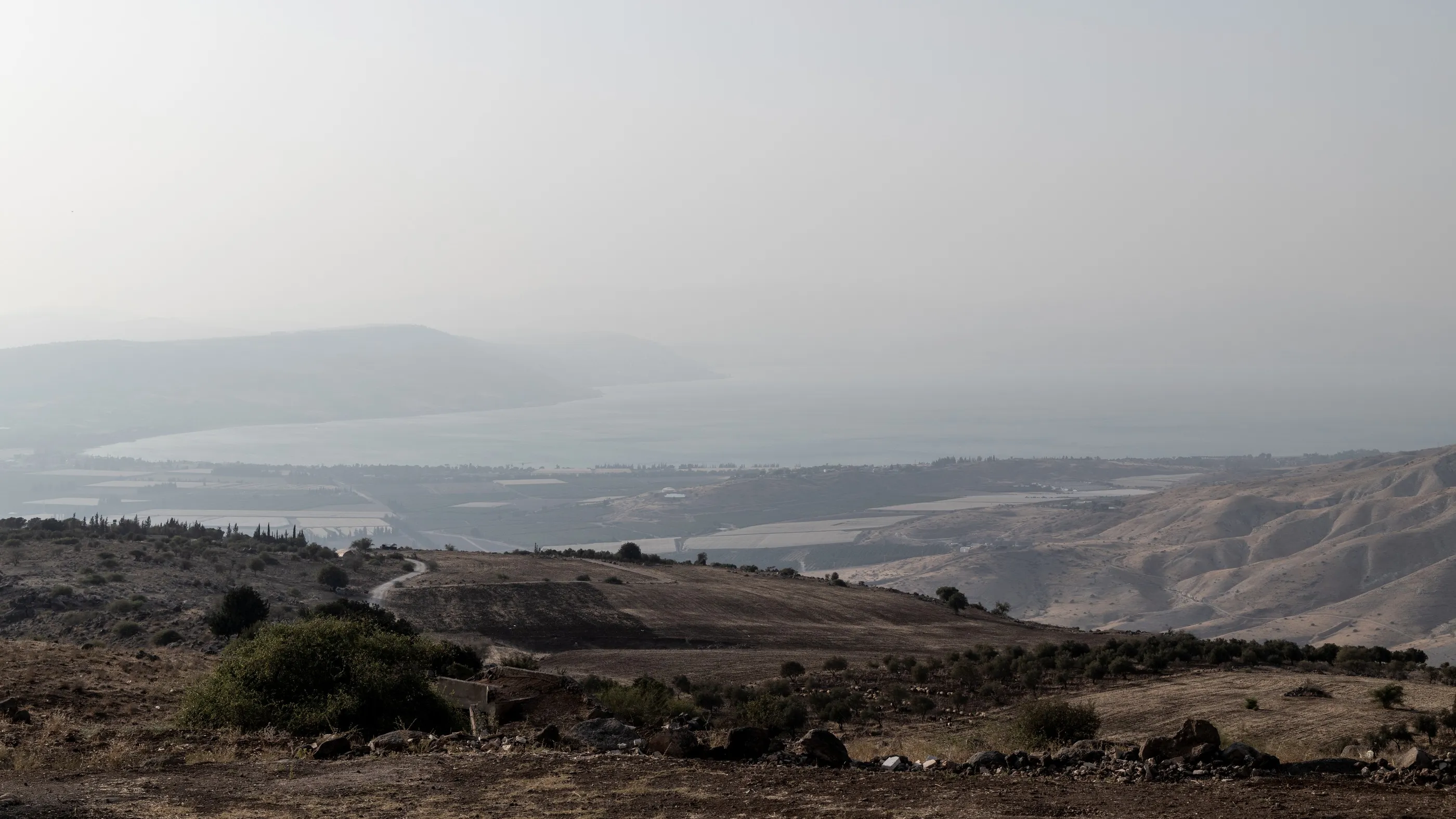
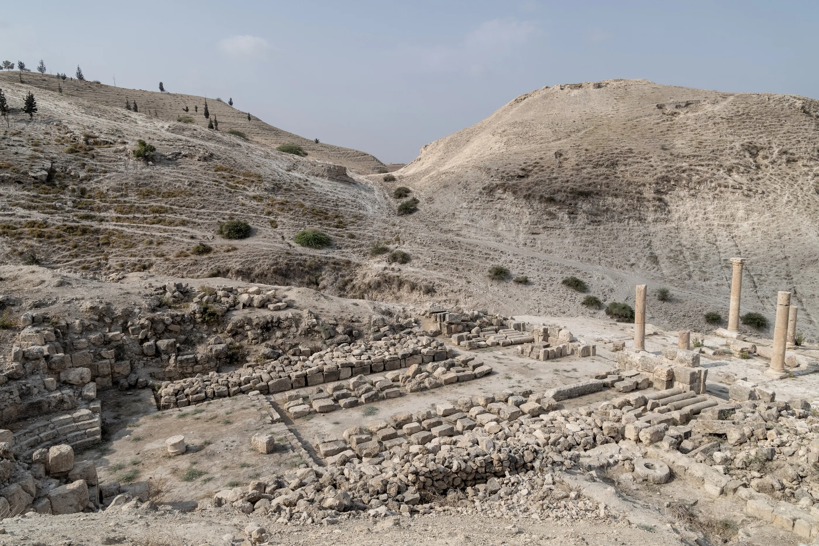
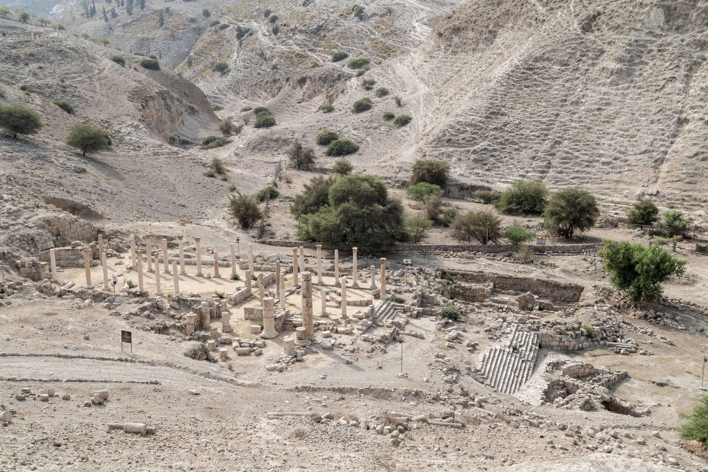
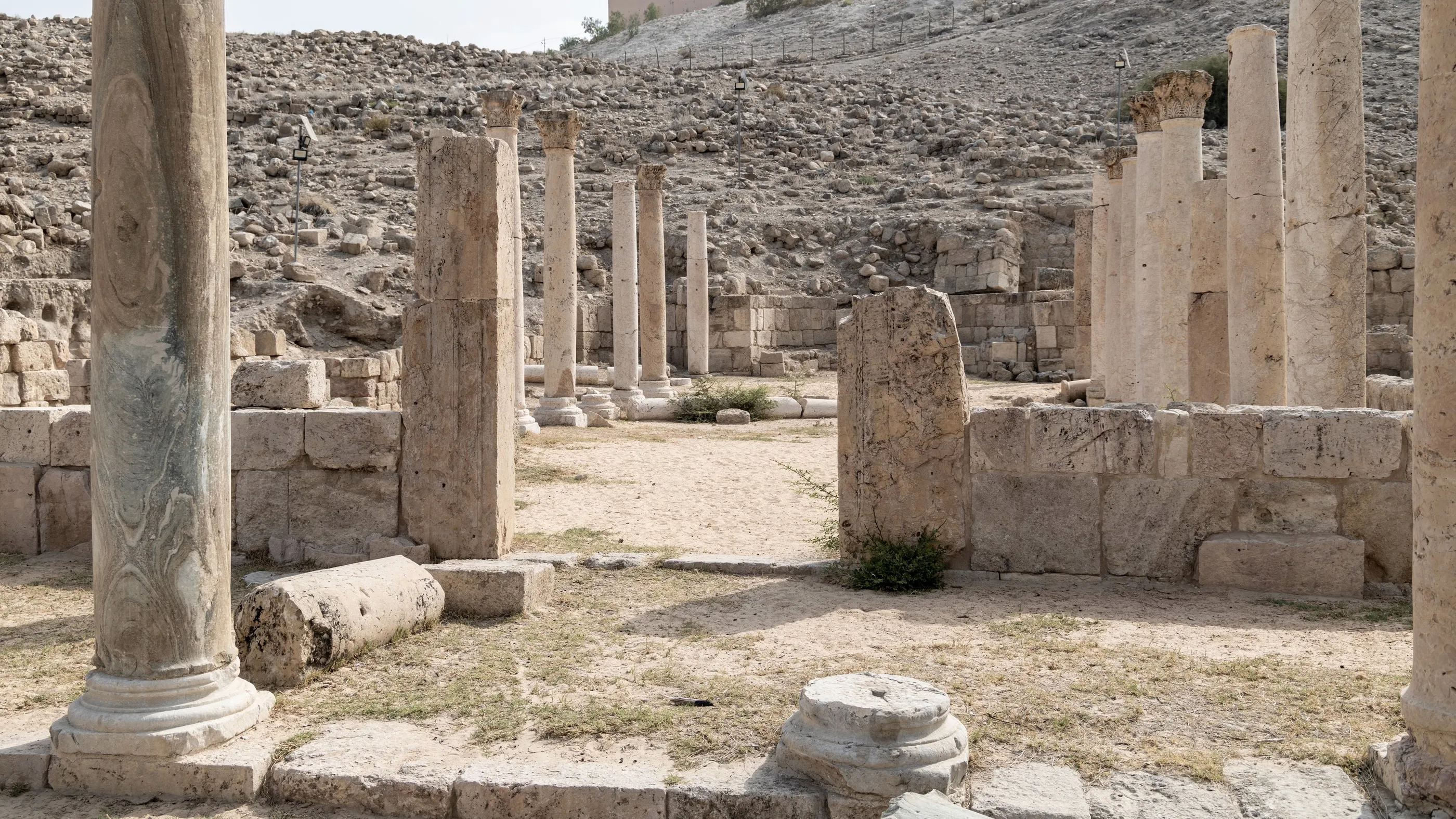
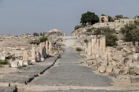
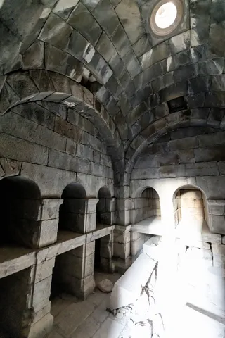
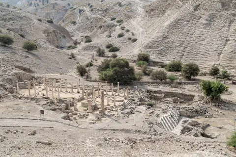
In the far north, Umm Qais — ancient Gadara, home of Greek poets and philosophers, and the land of the “Gadarenes” of the Gospel — looks out over the Sea of Galilee, the Golan and the Yarmouk valley. Its theatre and colonnaded street are cut from dark basalt. The next morning, heading down into the Jordan Valley, Pella, another city of the Decapolis, where according to Eusebius the Christians of Jerusalem took refuge before the fall of the Temple.




By road↗ 46 km
Ajloun and Jerash
Jordan
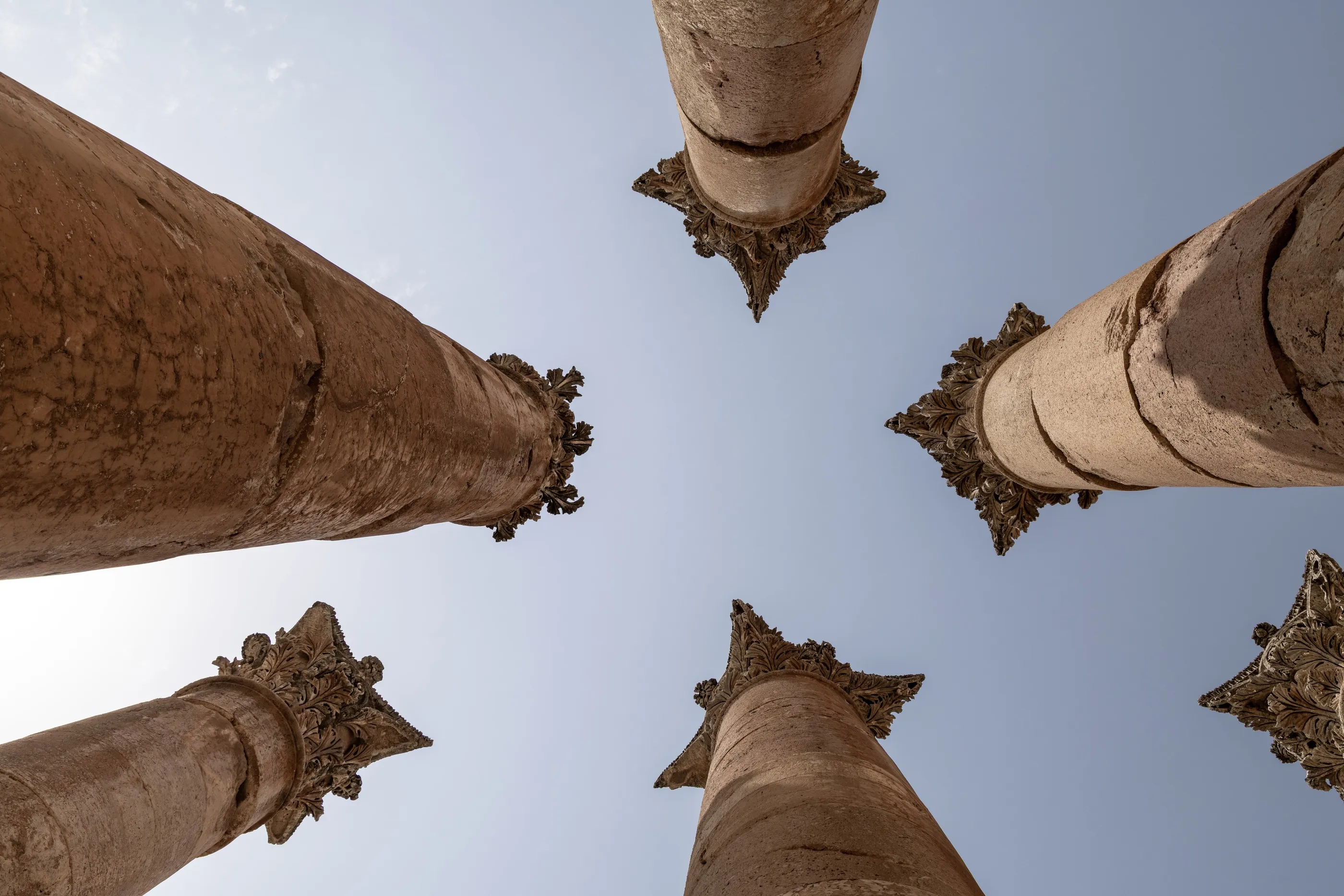
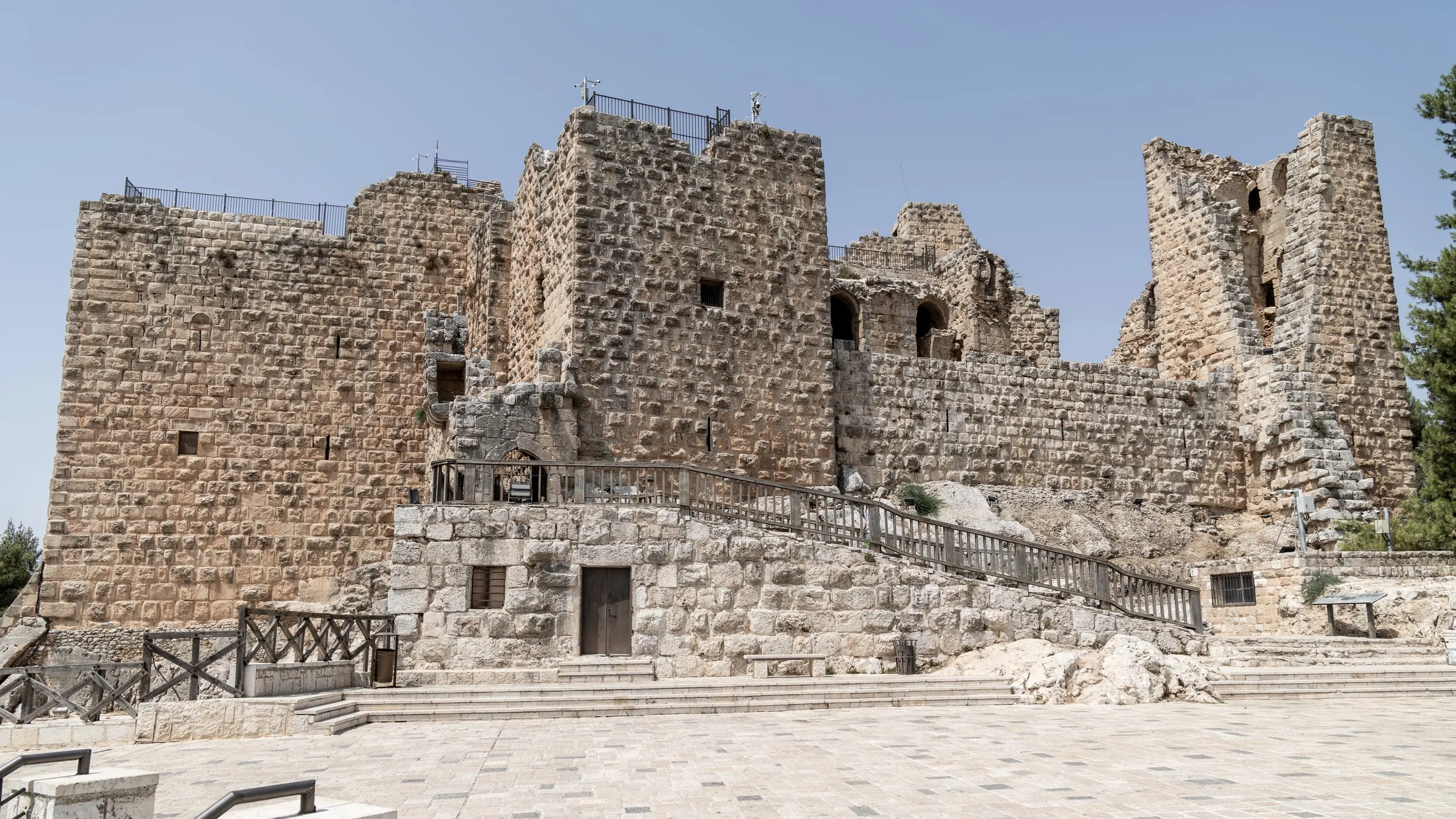
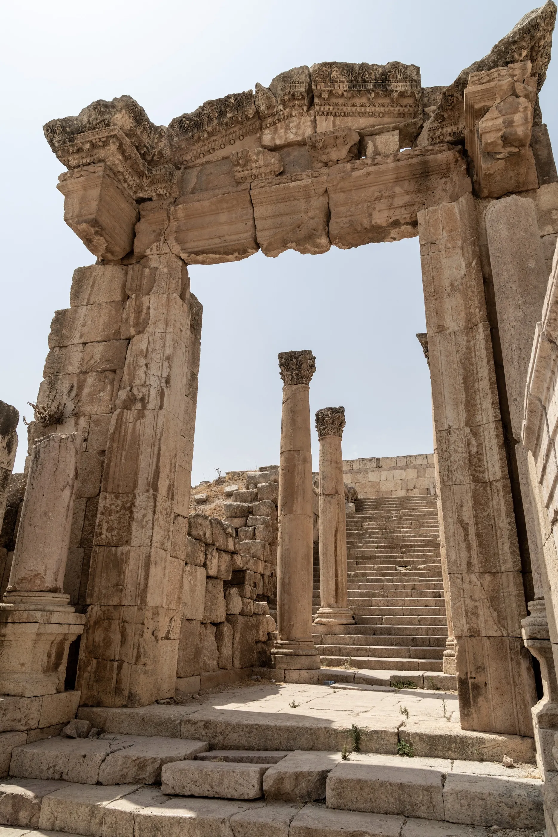
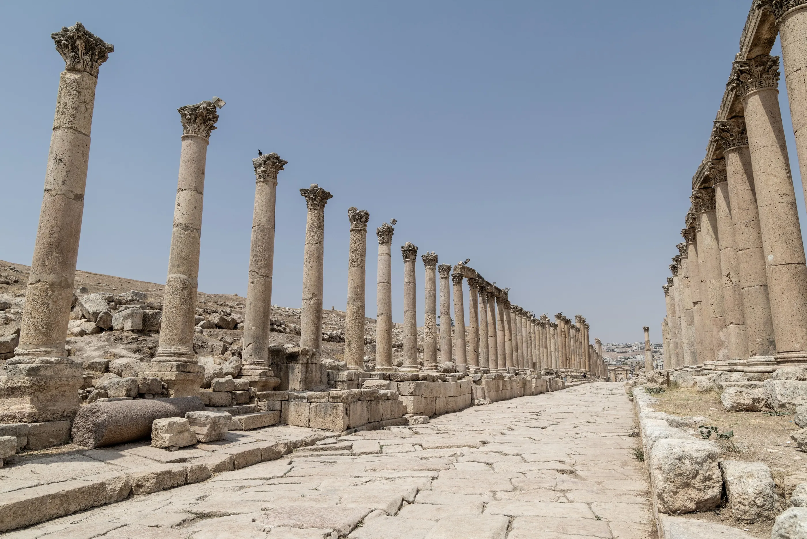
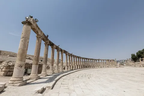
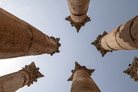
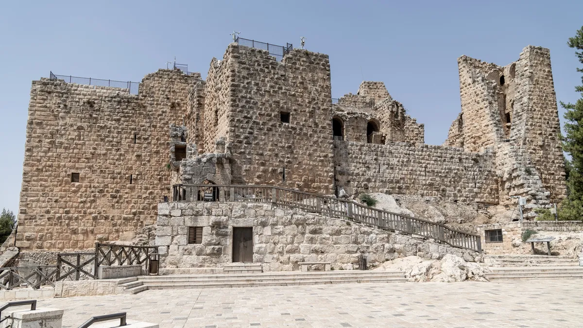
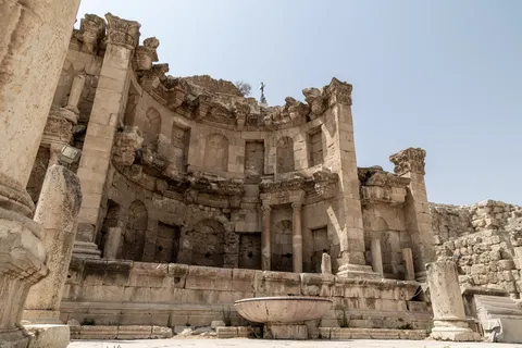
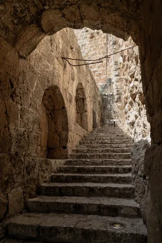
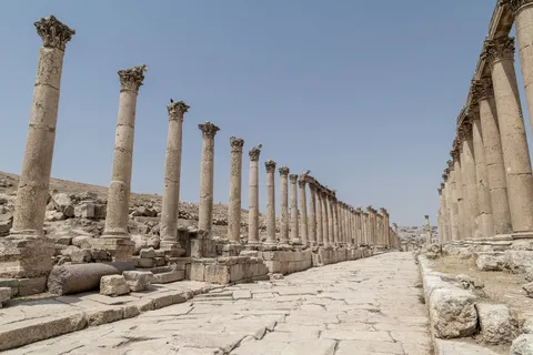
Above the olive groves, Ajloun castle was built in 1184 by one of Saladin’s lieutenants to watch over the Crusaders and the region’s iron mines. Then Jerash, ancient Gerasa, one of the best-preserved Roman cities of the East: the Oval Plaza and its ring of columns, the paved cardo still grooved by chariot wheels, the nymphaeum, the South Theatre and, at the top, the columns of the Temple of Artemis.


By road↗ 31 km
As-Salt
Jordan
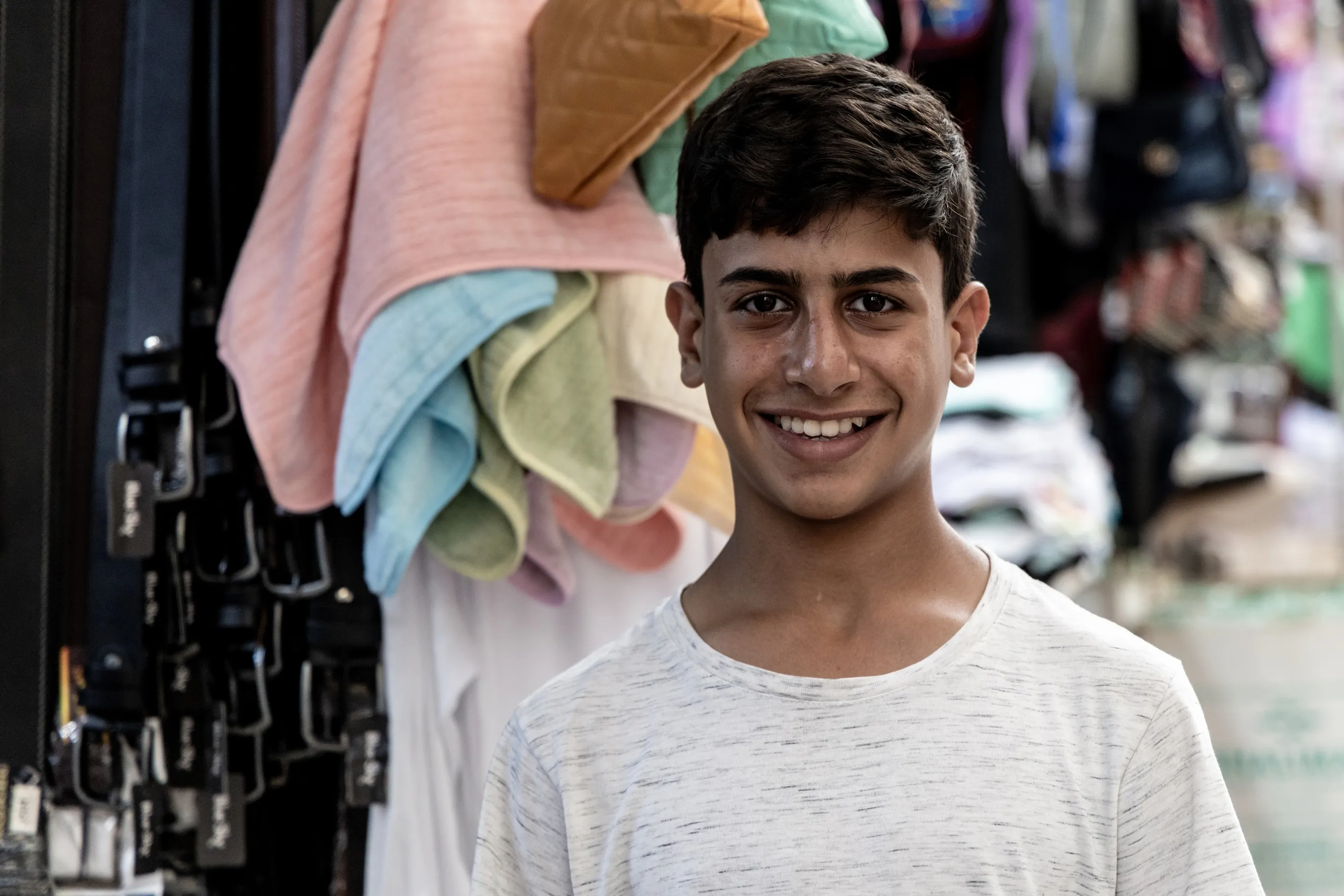
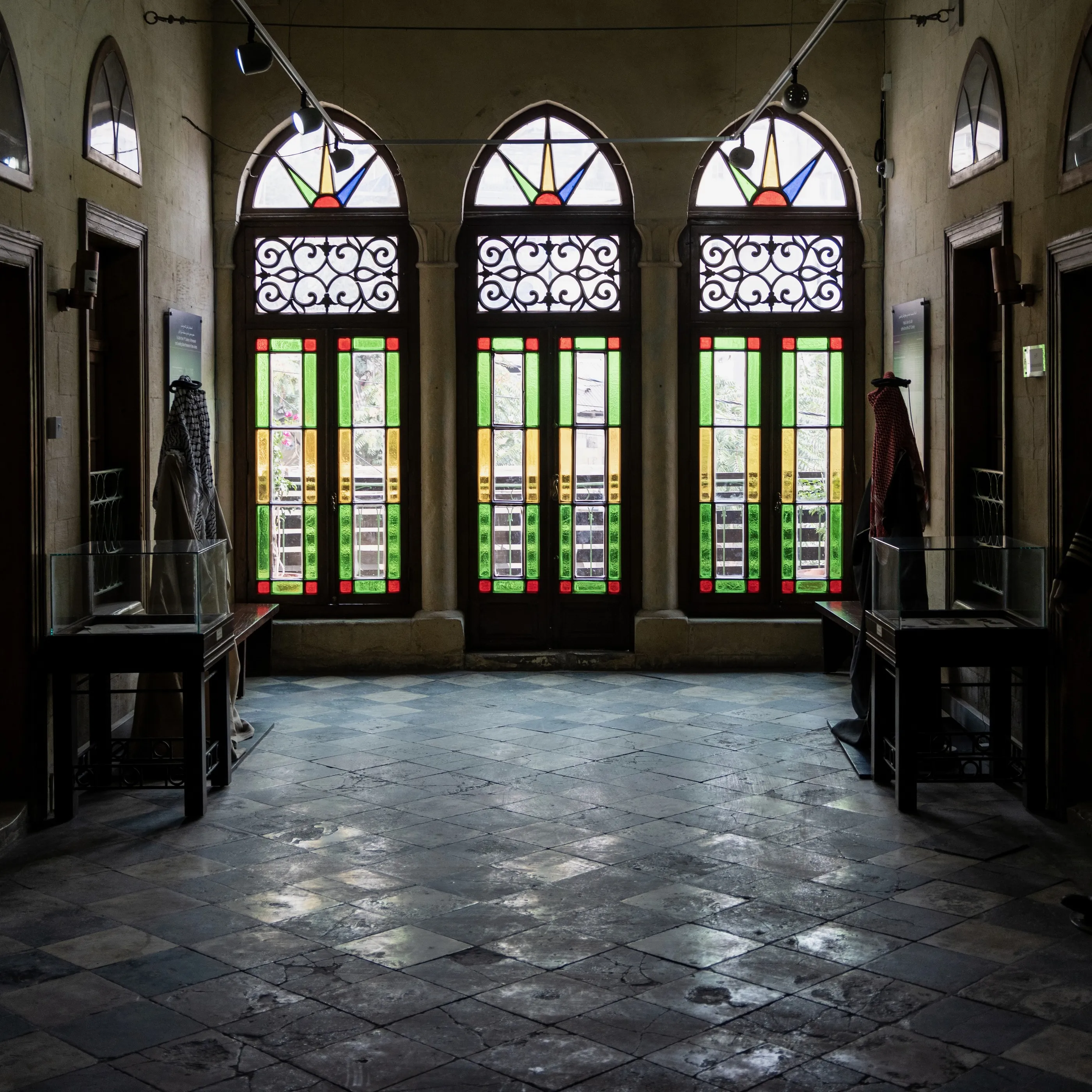
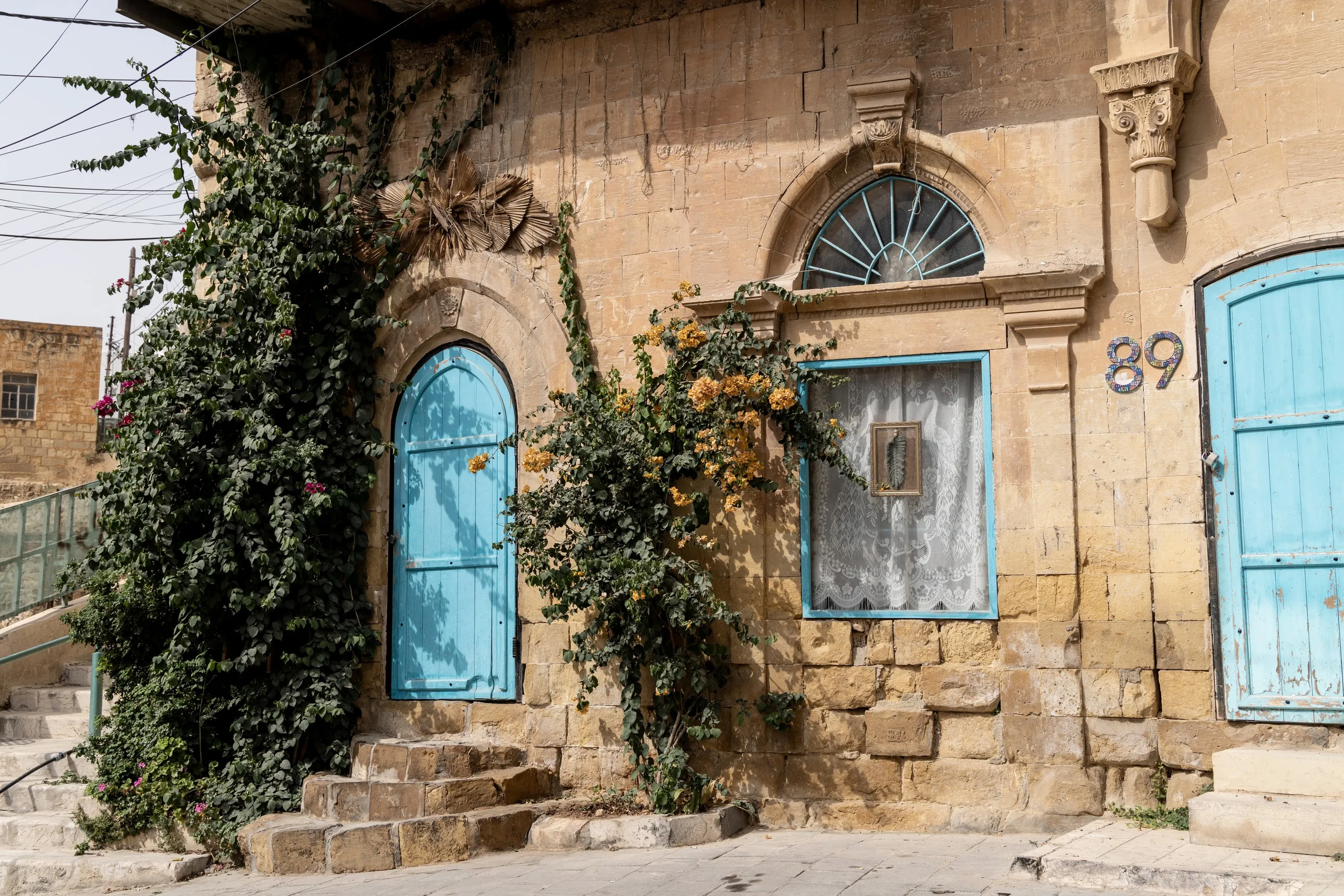
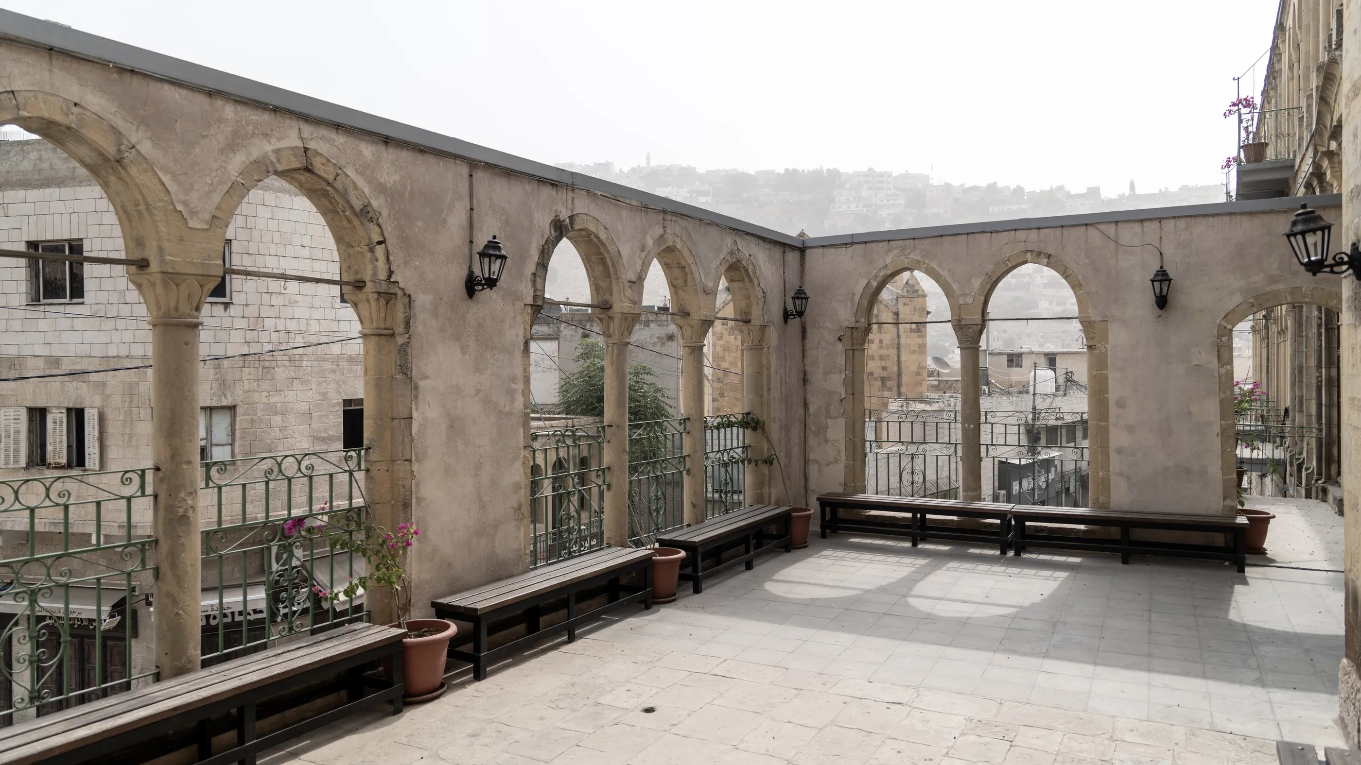
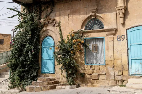
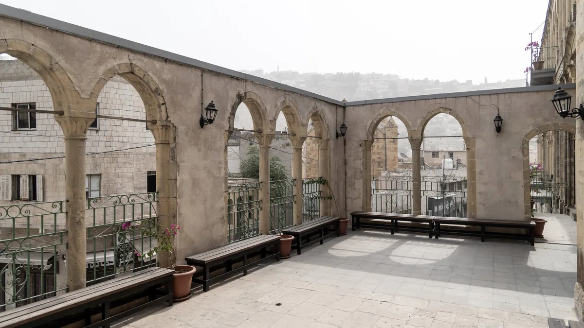
In the late Ottoman period As-Salt was the most important town of the region, long before Amman. Its golden limestone houses, with arched windows and coloured stained glass, climb up three hills; the town has been a UNESCO World Heritage site since 2021 for its tradition of tolerance and hospitality. In the souk, tea and smiles are offered freely.



By road↗ 14 km
Iraq al-Amir and Bethany
Jordan
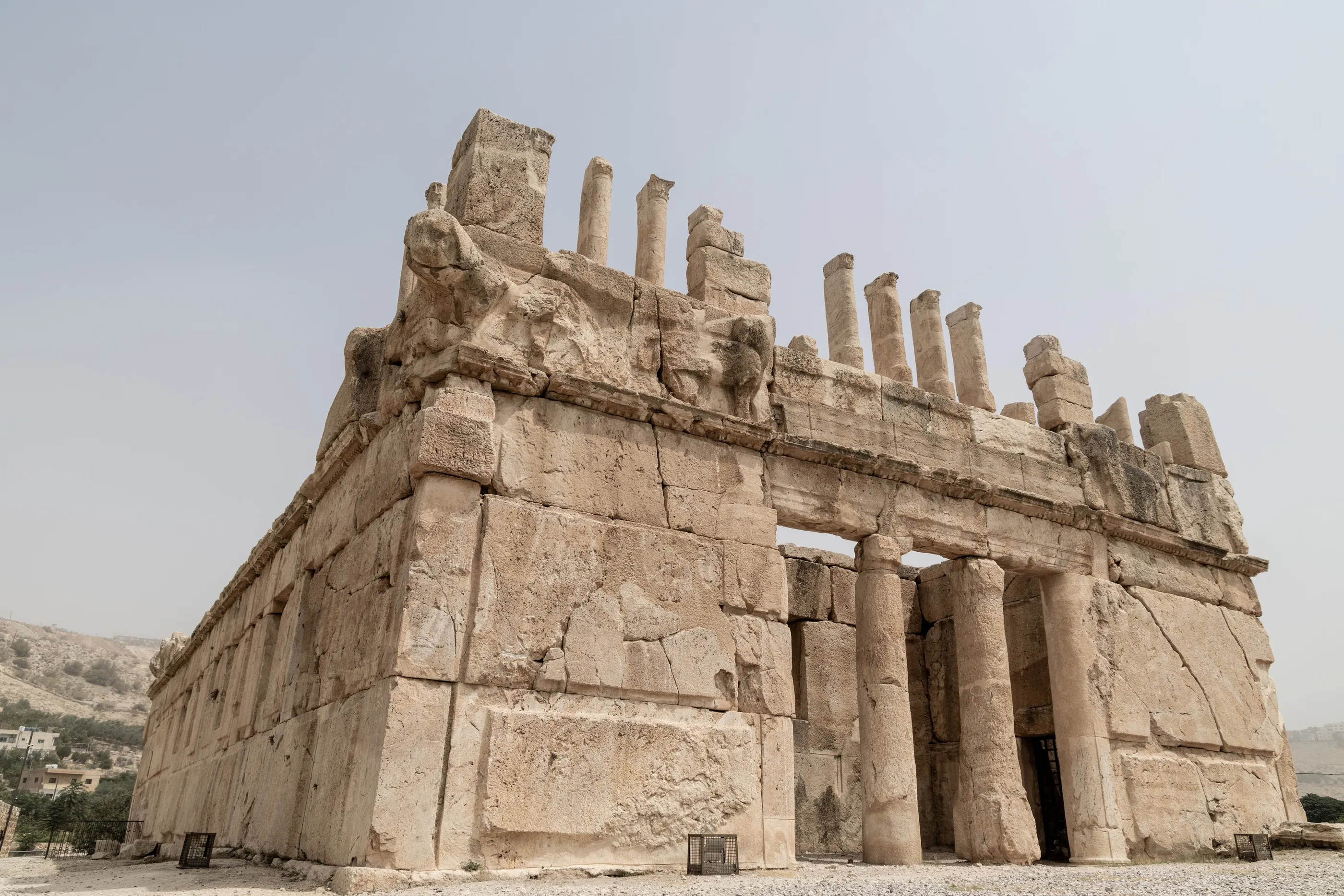
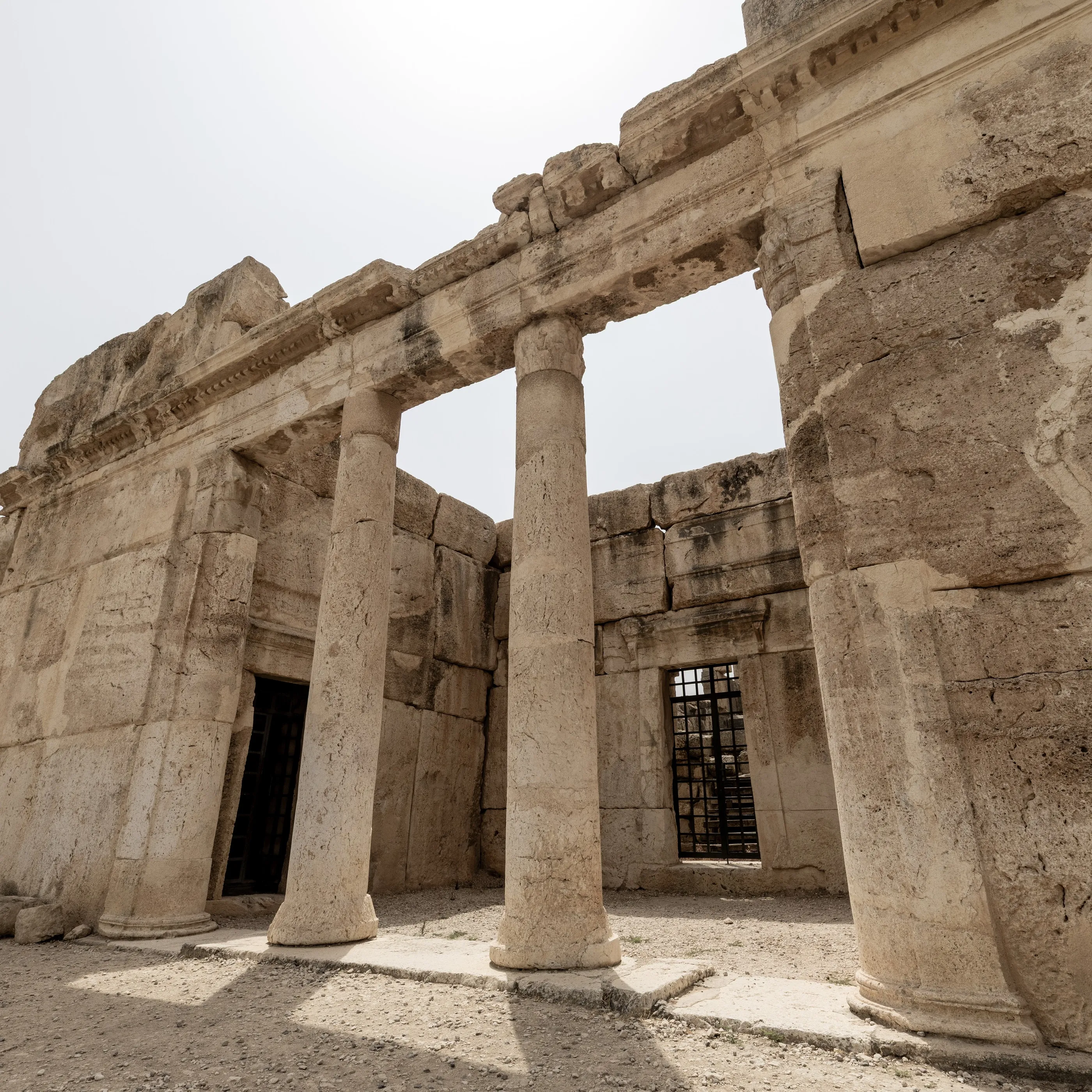
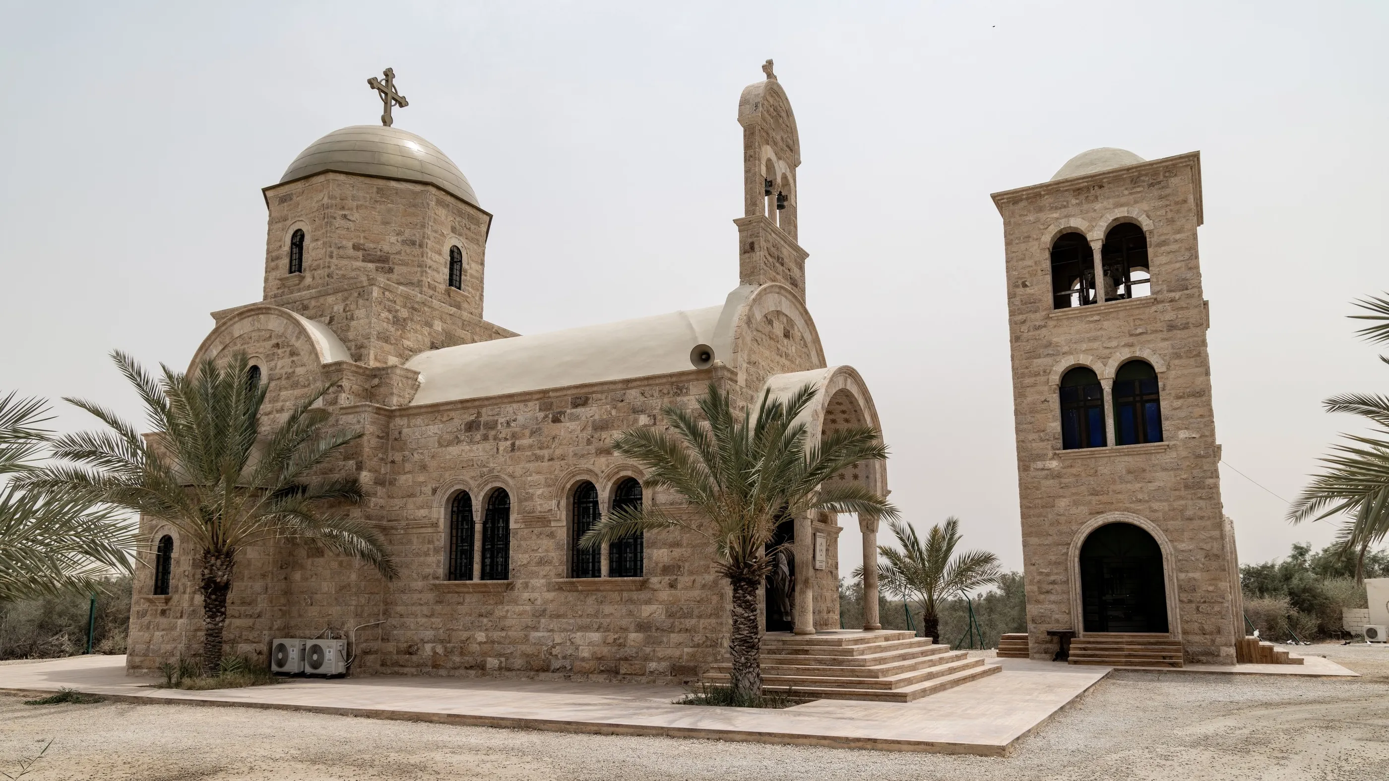
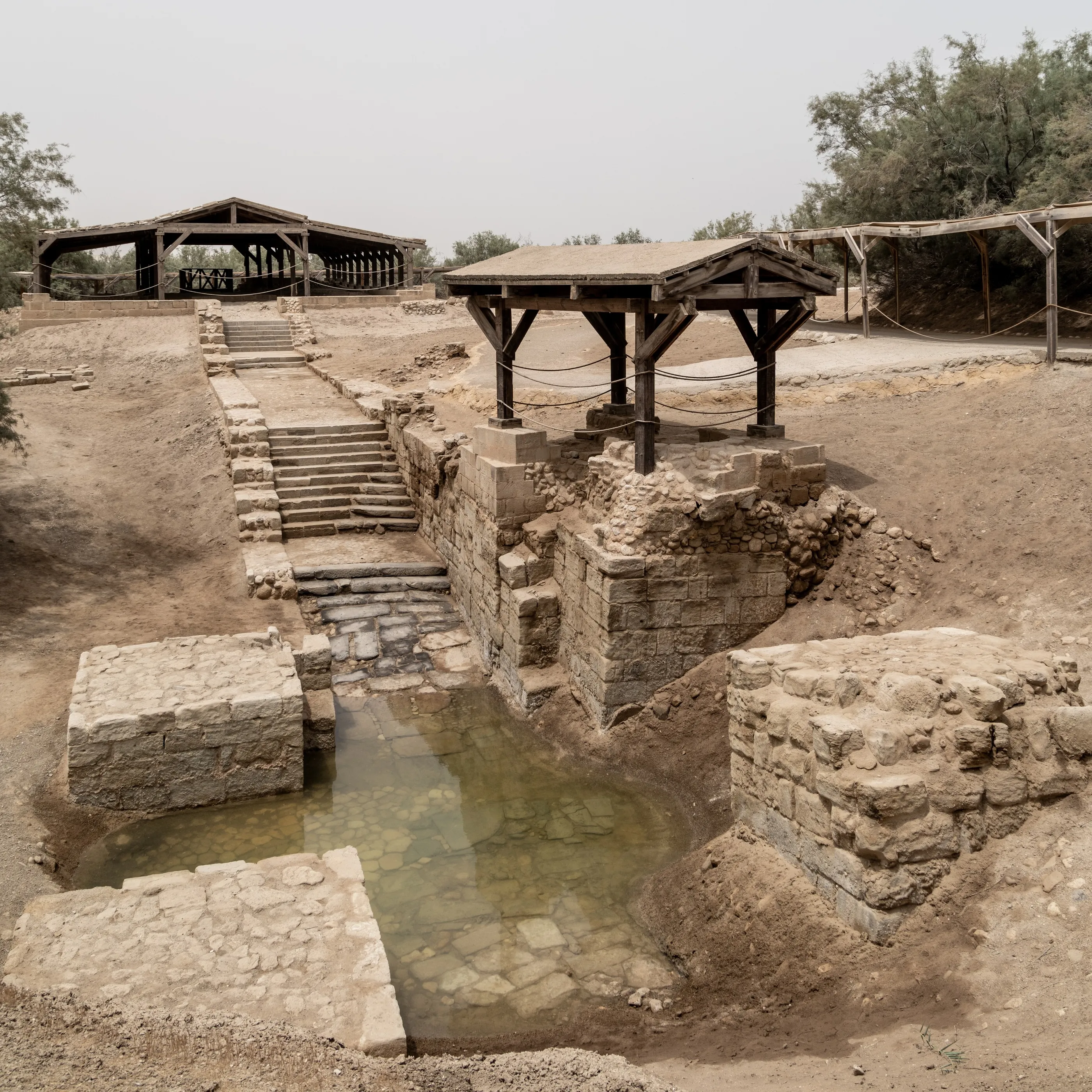
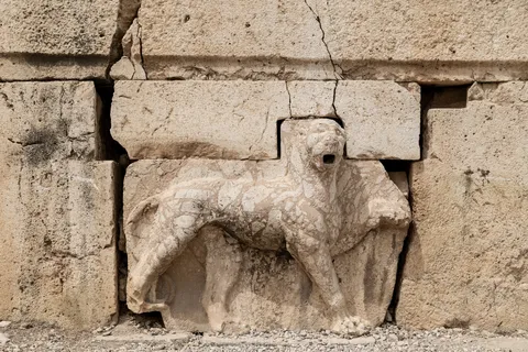
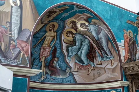
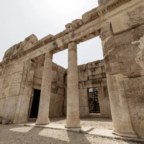
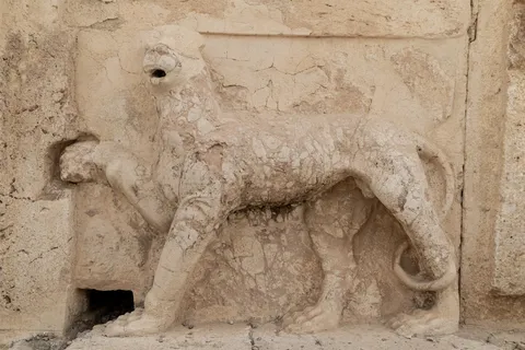
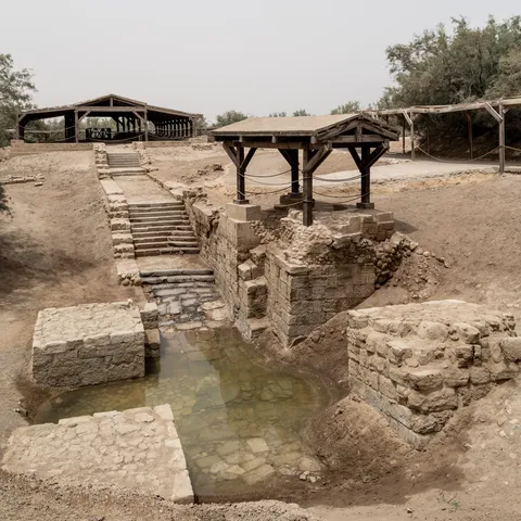
Deep in a green valley, Qasr al-Abd is a rare witness of the Hellenistic period: a palace of the second century BC, attributed by Josephus to Hyrcanus the Tobiad, built of colossal blocks carved with lions and felines. Further down, on the banks of the Jordan, Bethany beyond the Jordan, where tradition places the baptism of Christ by John: Byzantine pools, Orthodox churches, and the opposite bank only a few metres away.


By road↗ 52 km
Wadi Mujib and the Dead Sea
Jordan
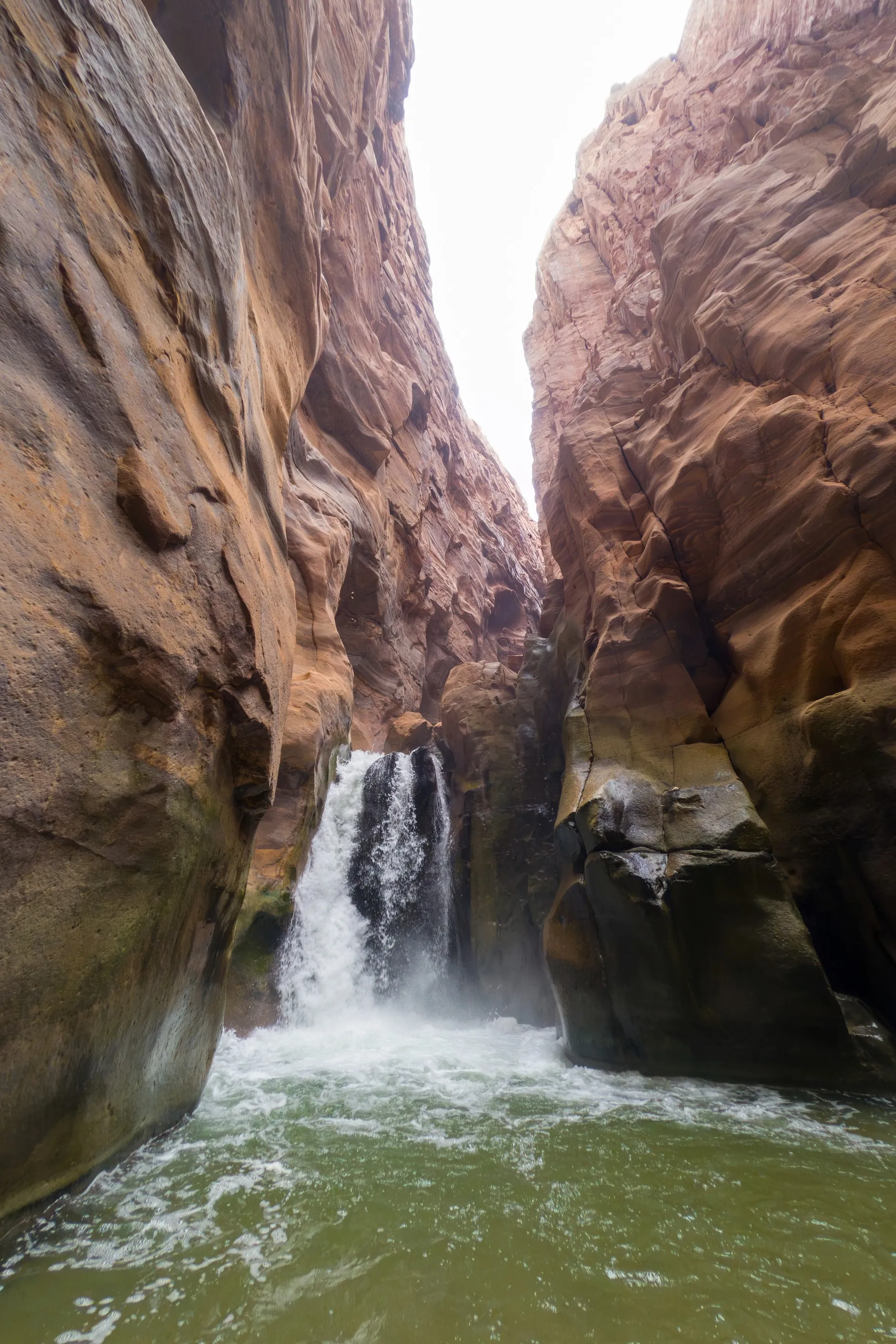
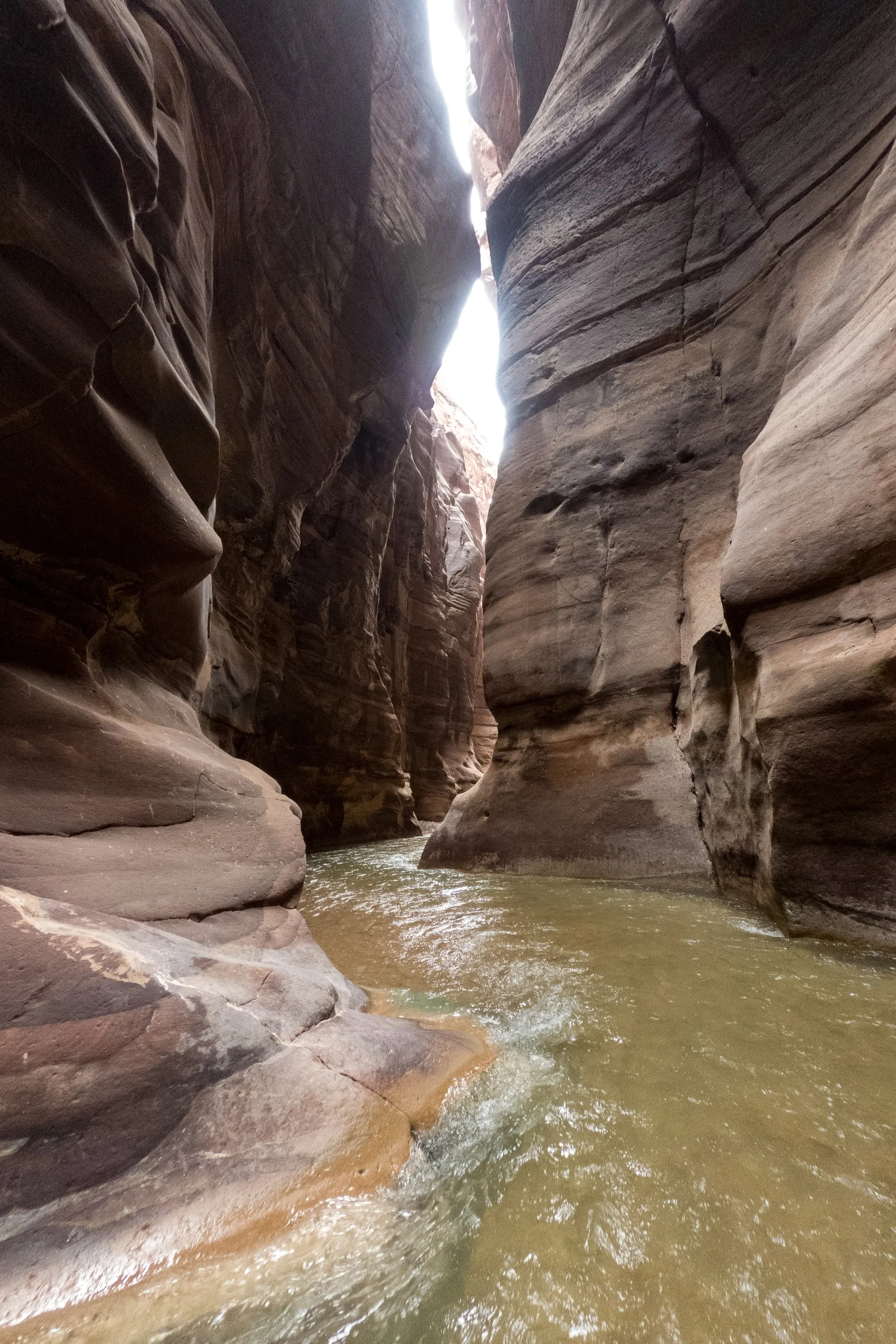
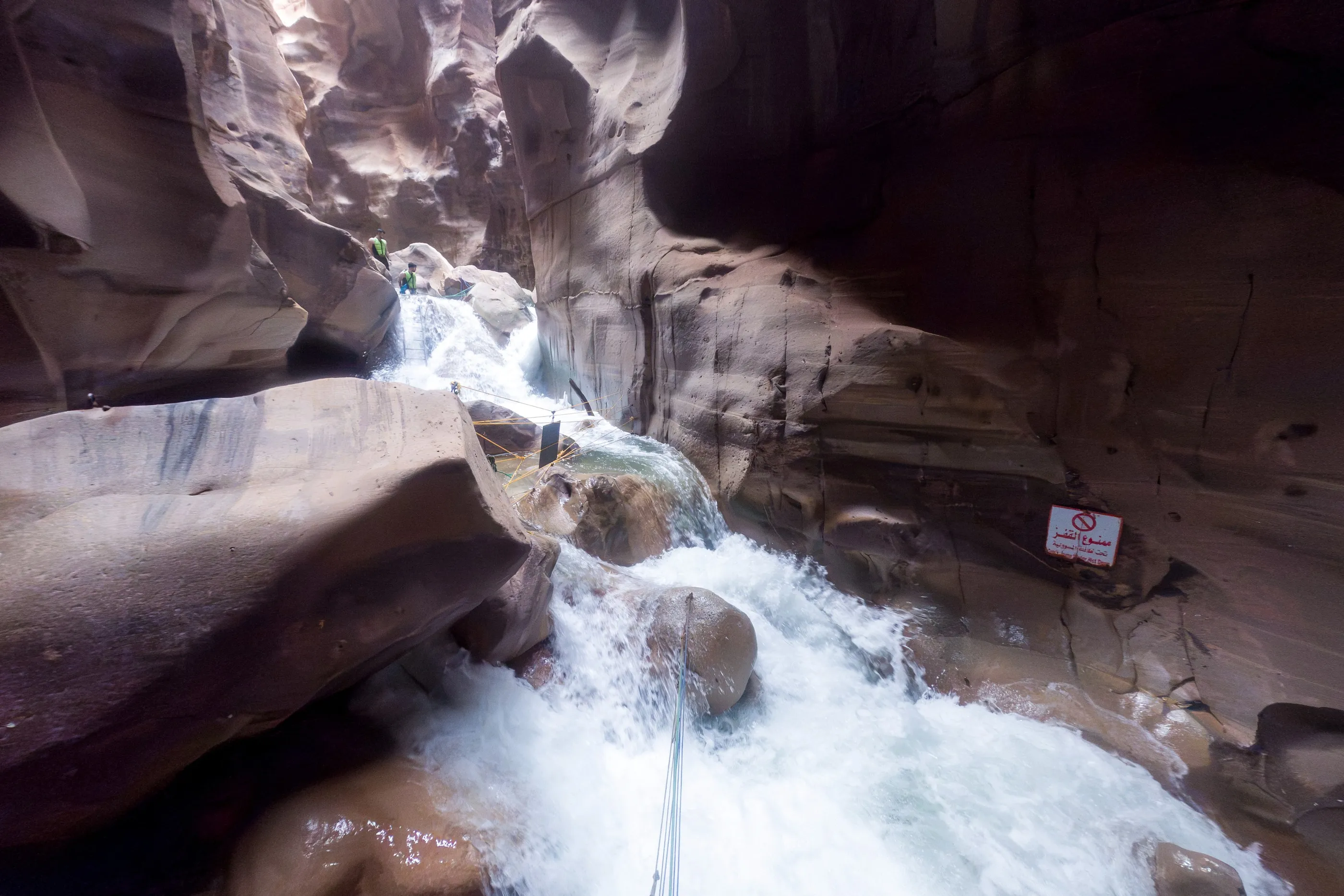
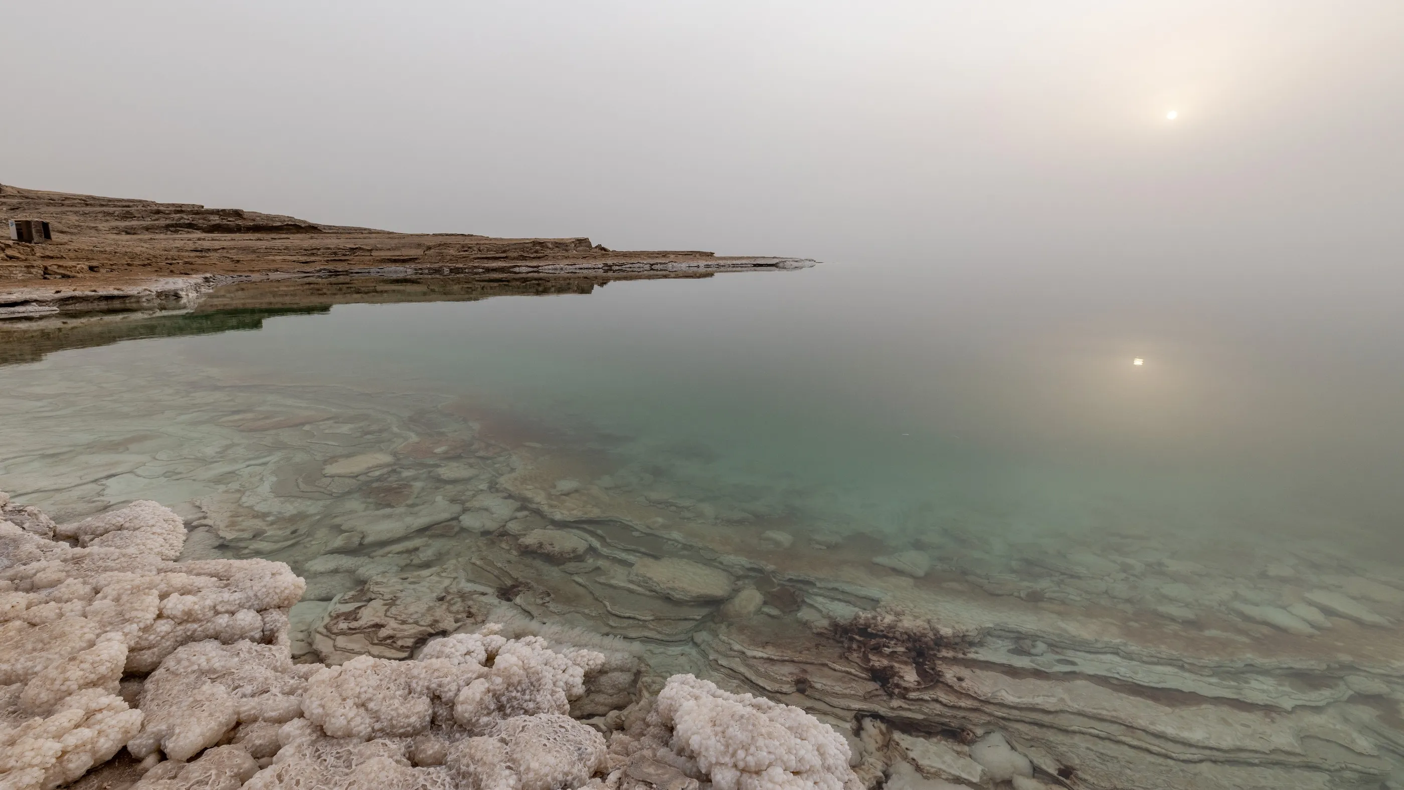
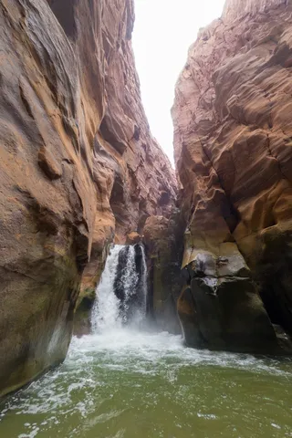
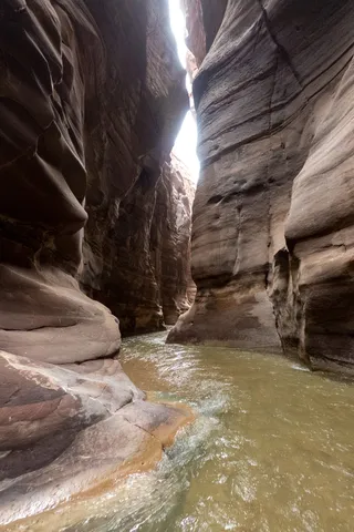
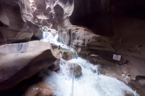
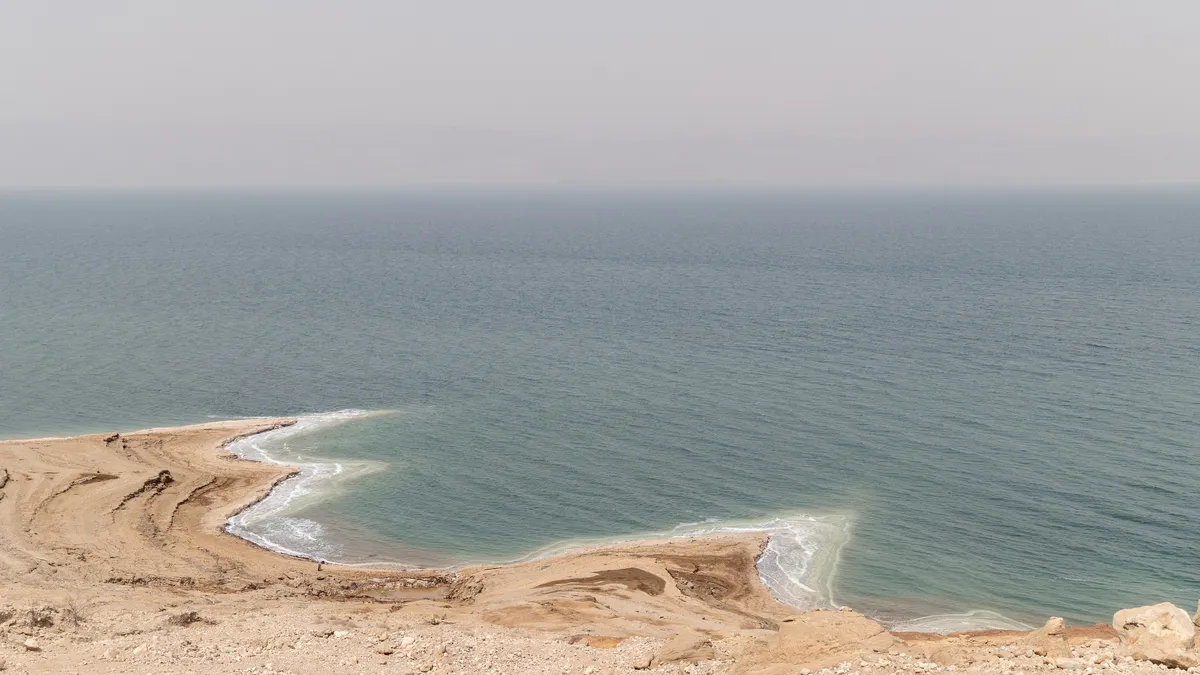
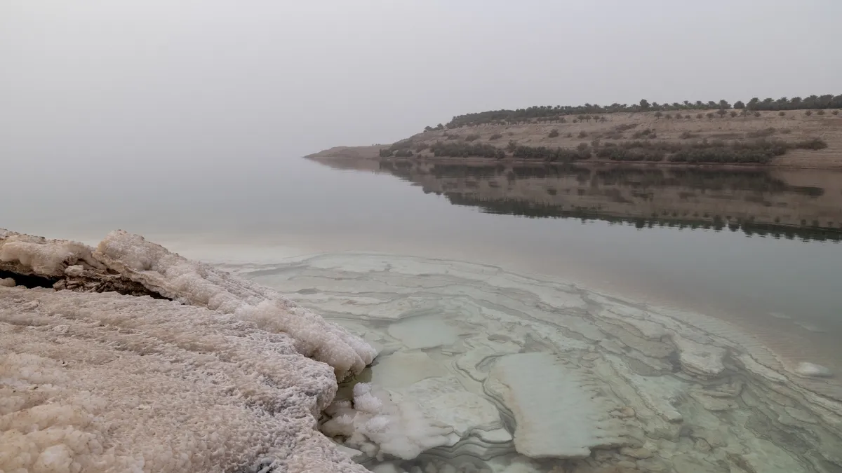
Wadi Mujib flows into the Dead Sea through a narrow siq of red sandstone, which we wade upstream to a waterfall. Then the Dead Sea, more than 430 metres below sea level: still turquoise water, crusts of salt, and a warm haze that erases the opposite shore.


By road↗ 35 km
Mount Nebo and Madaba
Jordan
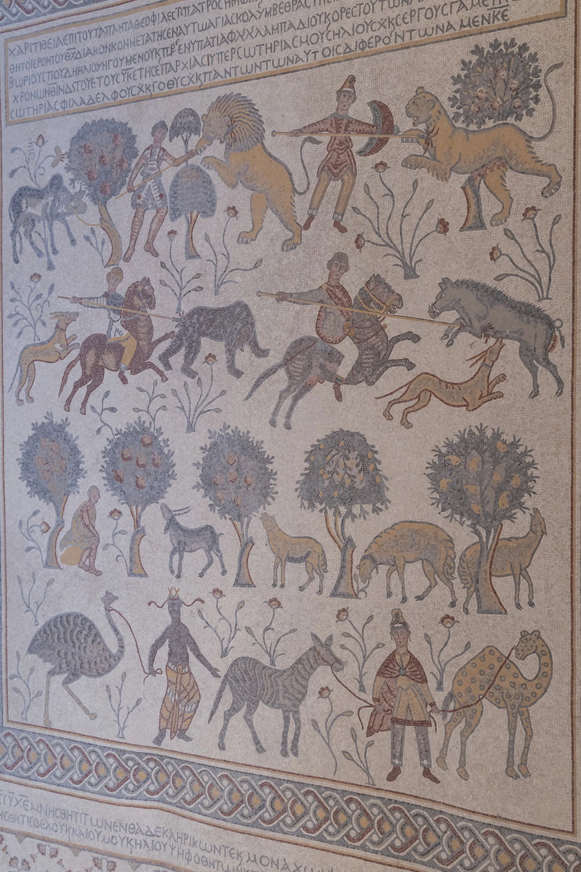
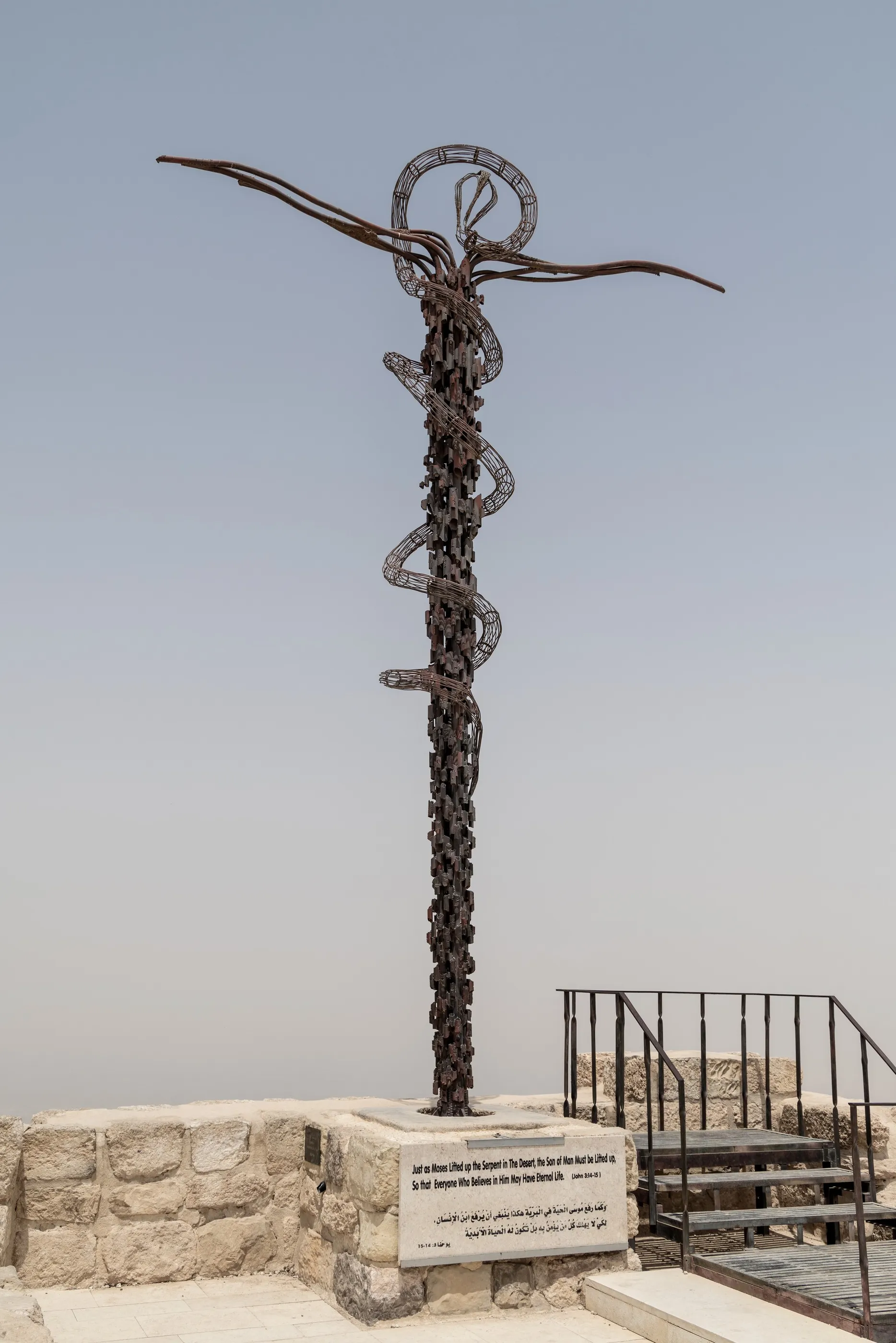
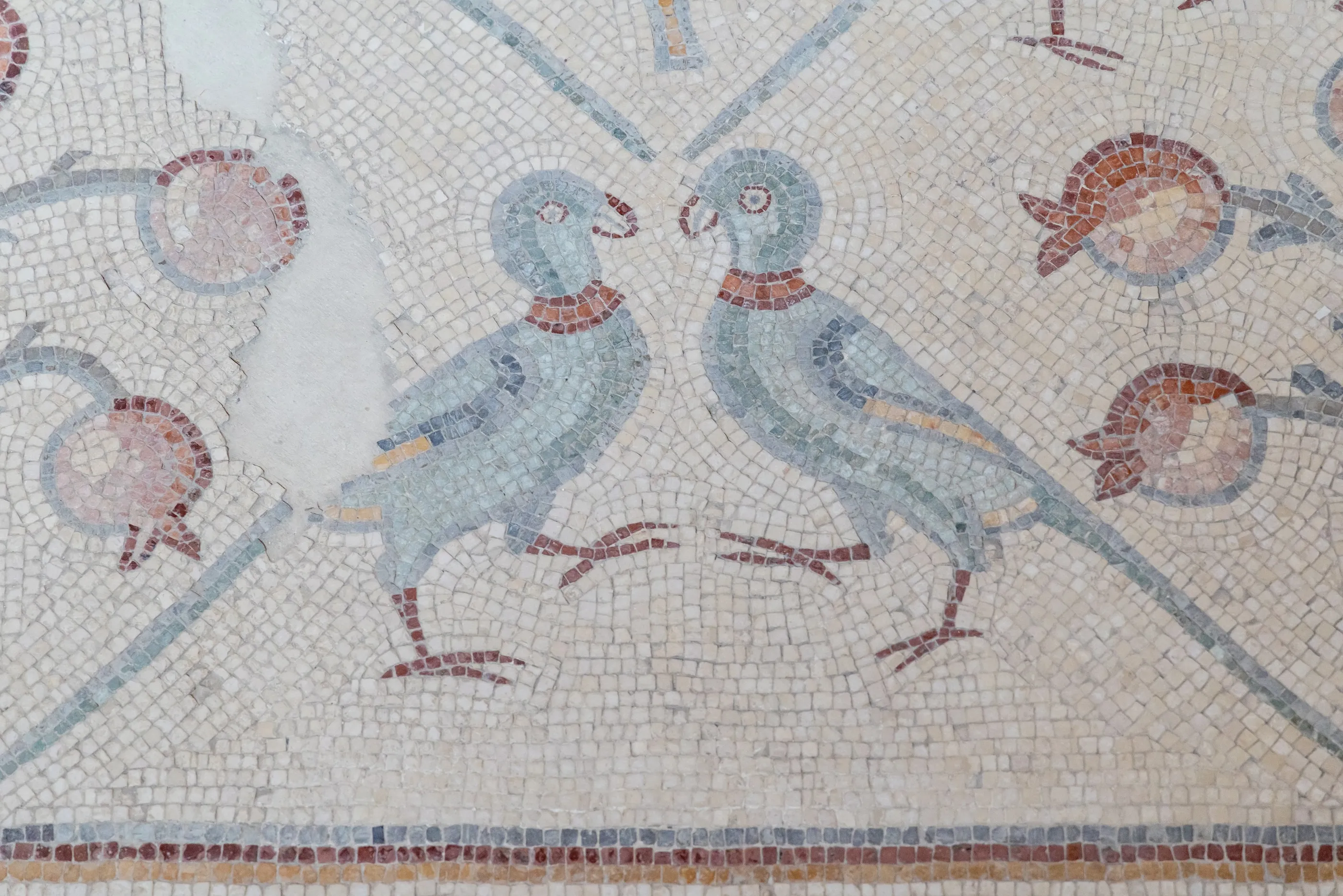
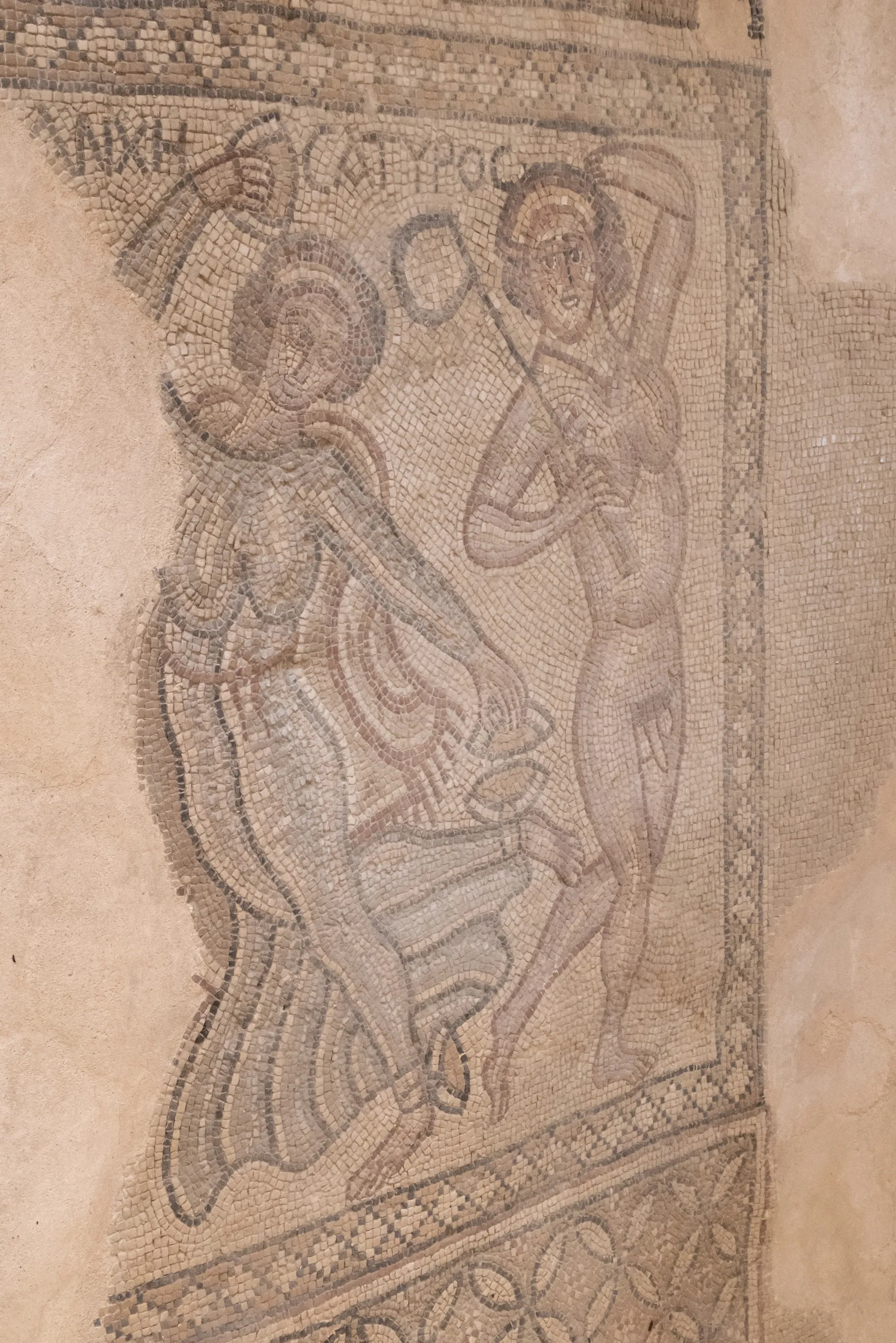
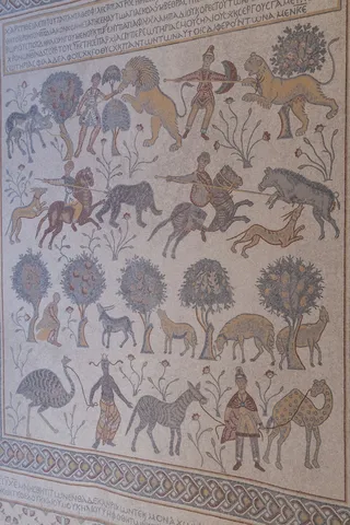
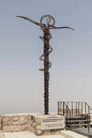
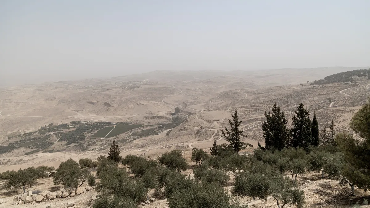
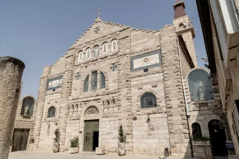
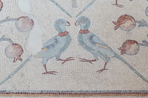
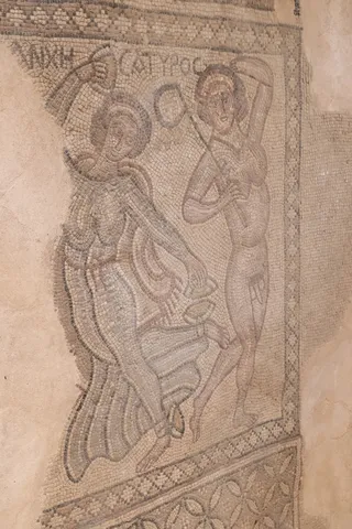
From Mount Nebo, where according to Deuteronomy Moses beheld the Promised Land without entering it, the view stretches across the Jordan Valley to Jericho. Inside the basilica, Byzantine mosaics unfold hunts, lions and camels. In Madaba, the “city of mosaics”, St George’s church preserves the sixth-century map of the Holy Land, with Jerusalem and its walls; in the archaeological park, birds, pomegranates and mythological figures still cover the floors.


By road↗ 60 km
Umm ar-Rasas, the King’s Highway and Kerak
Jordan
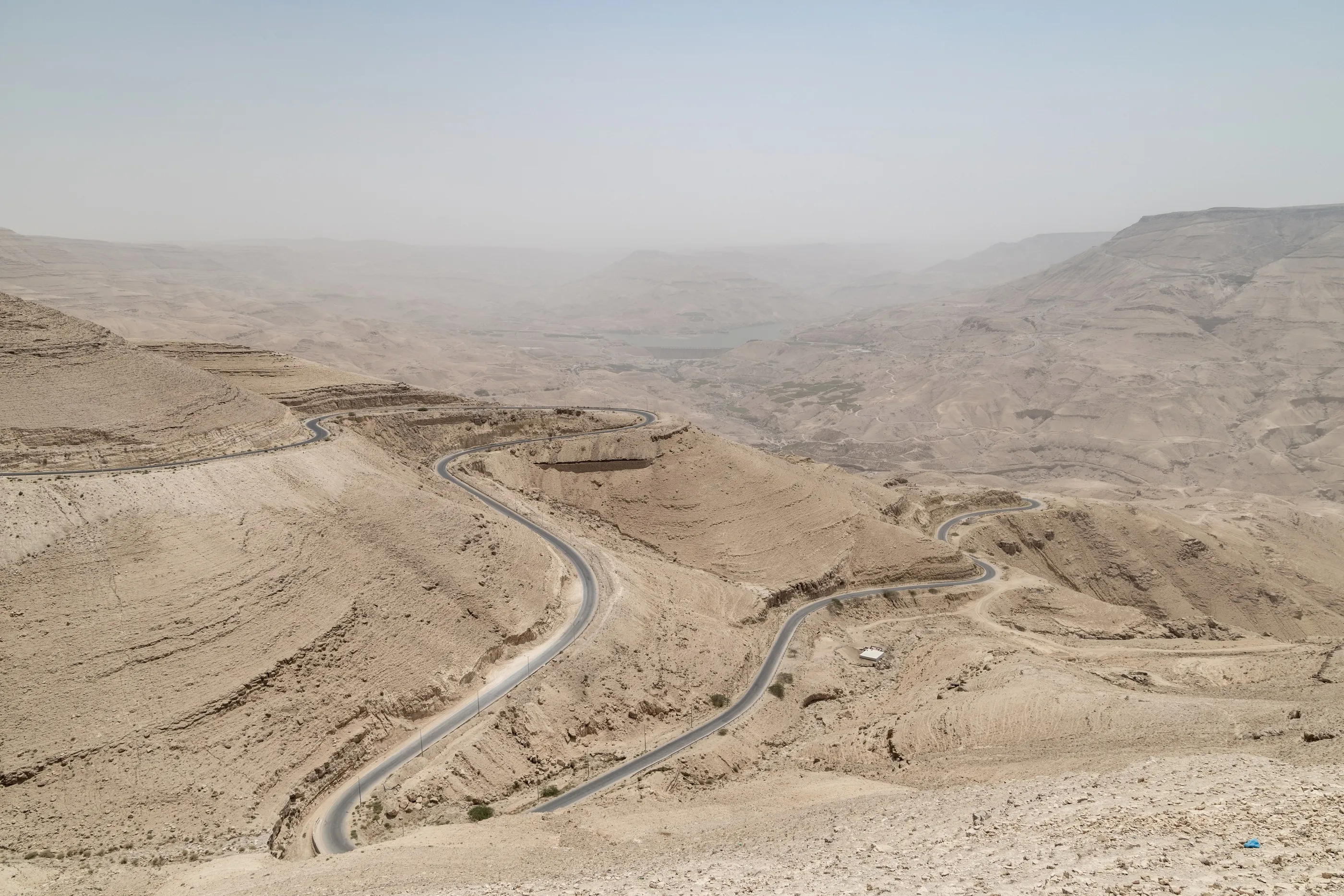
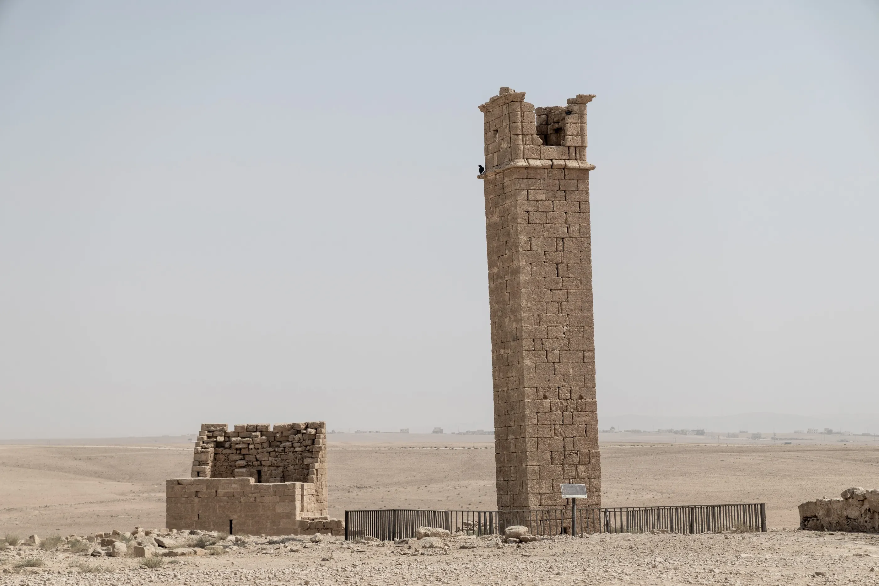
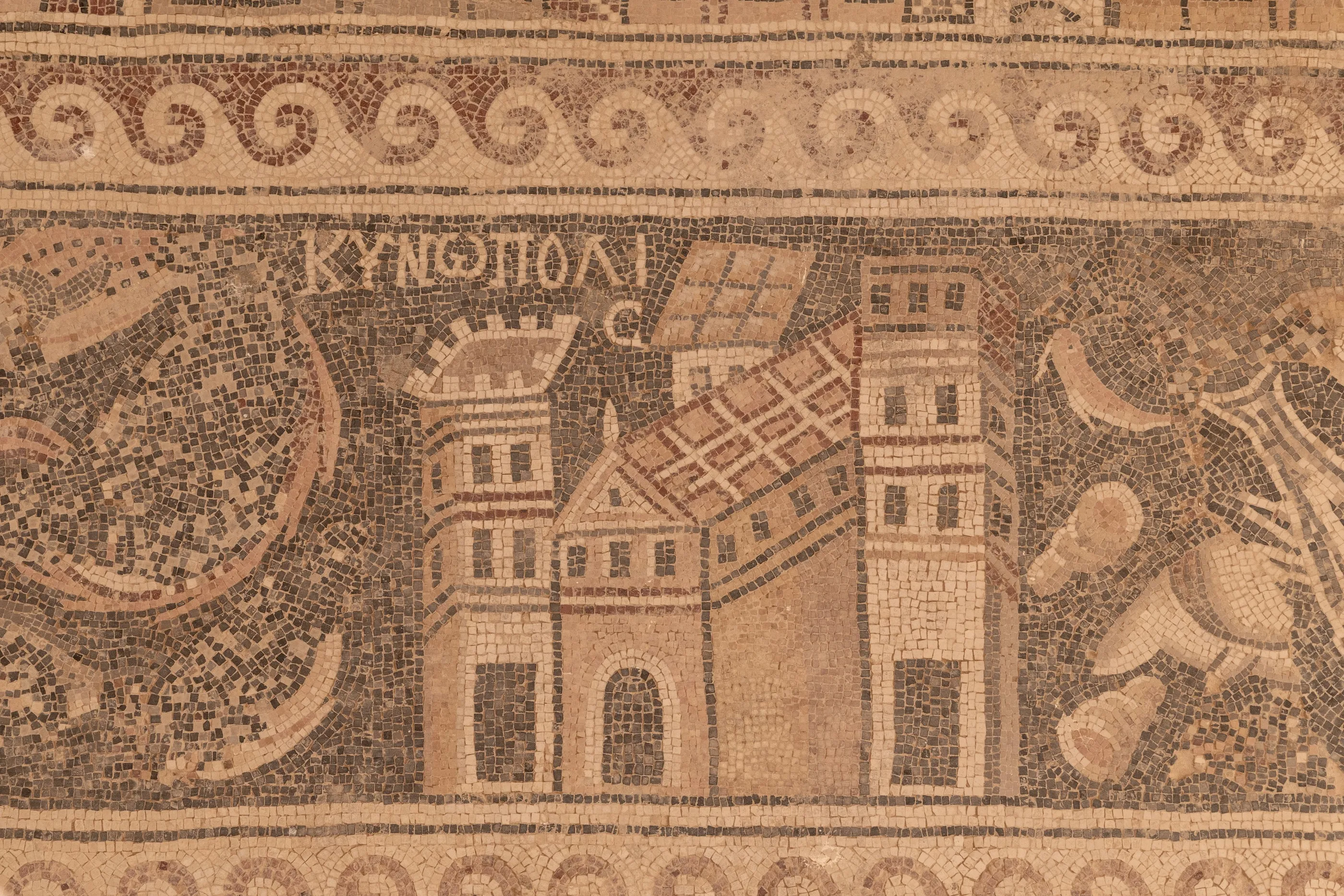
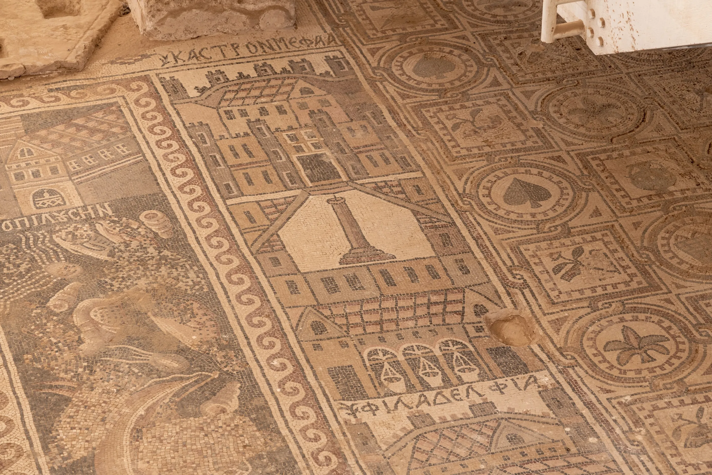
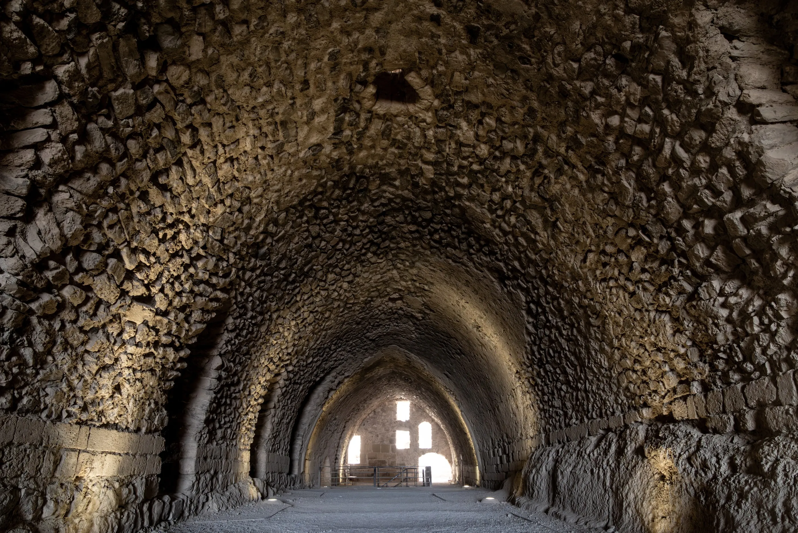
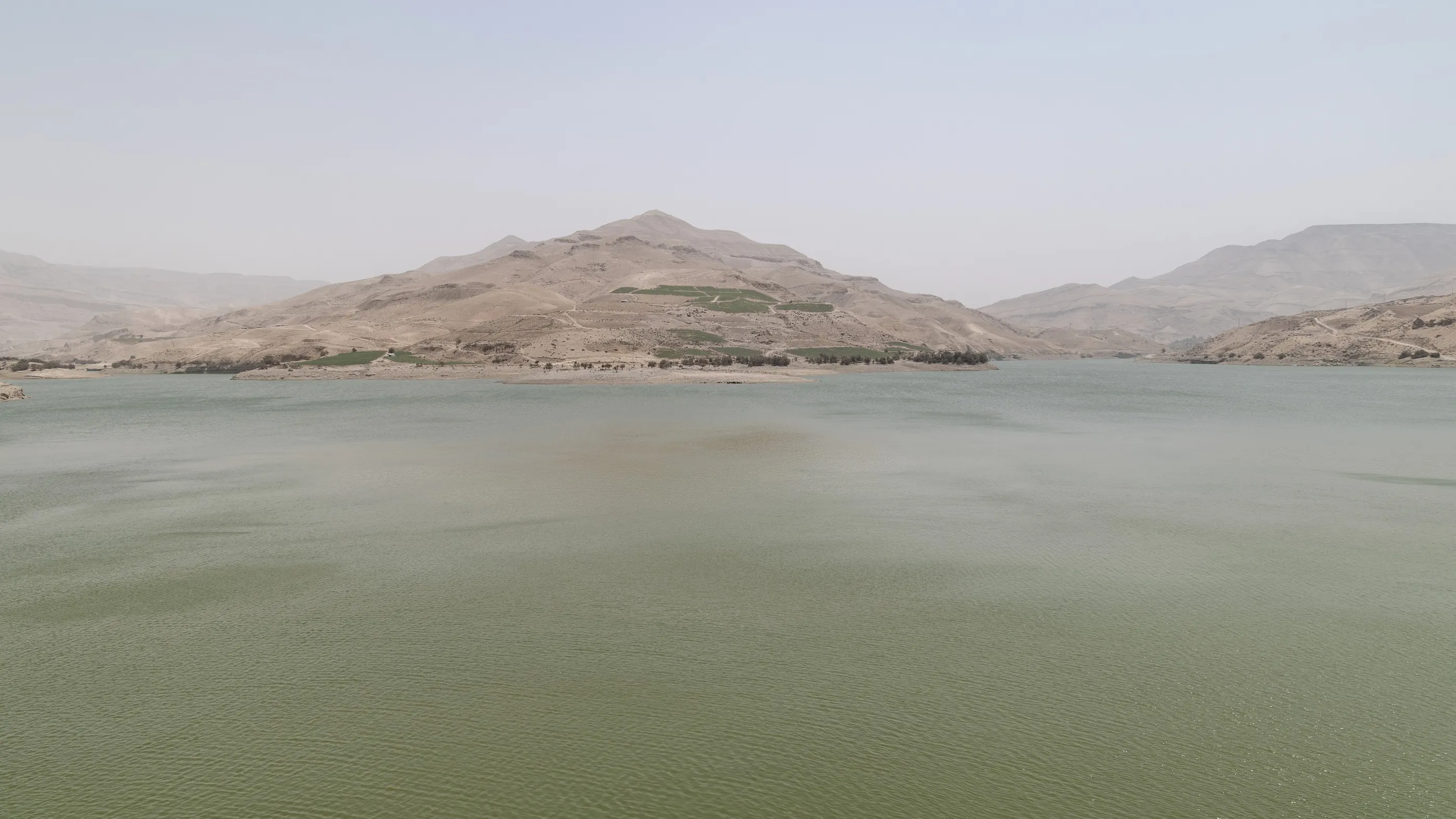
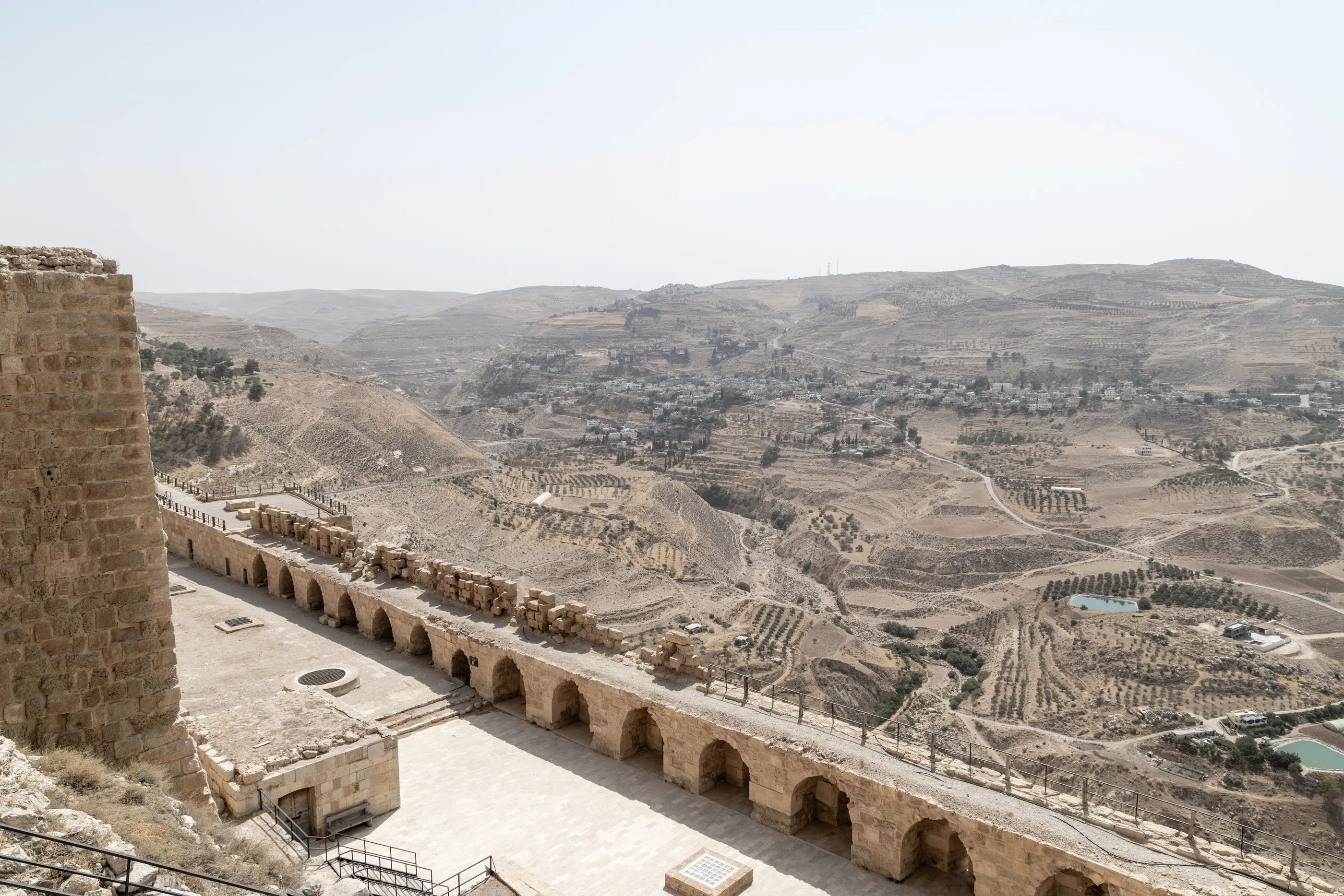
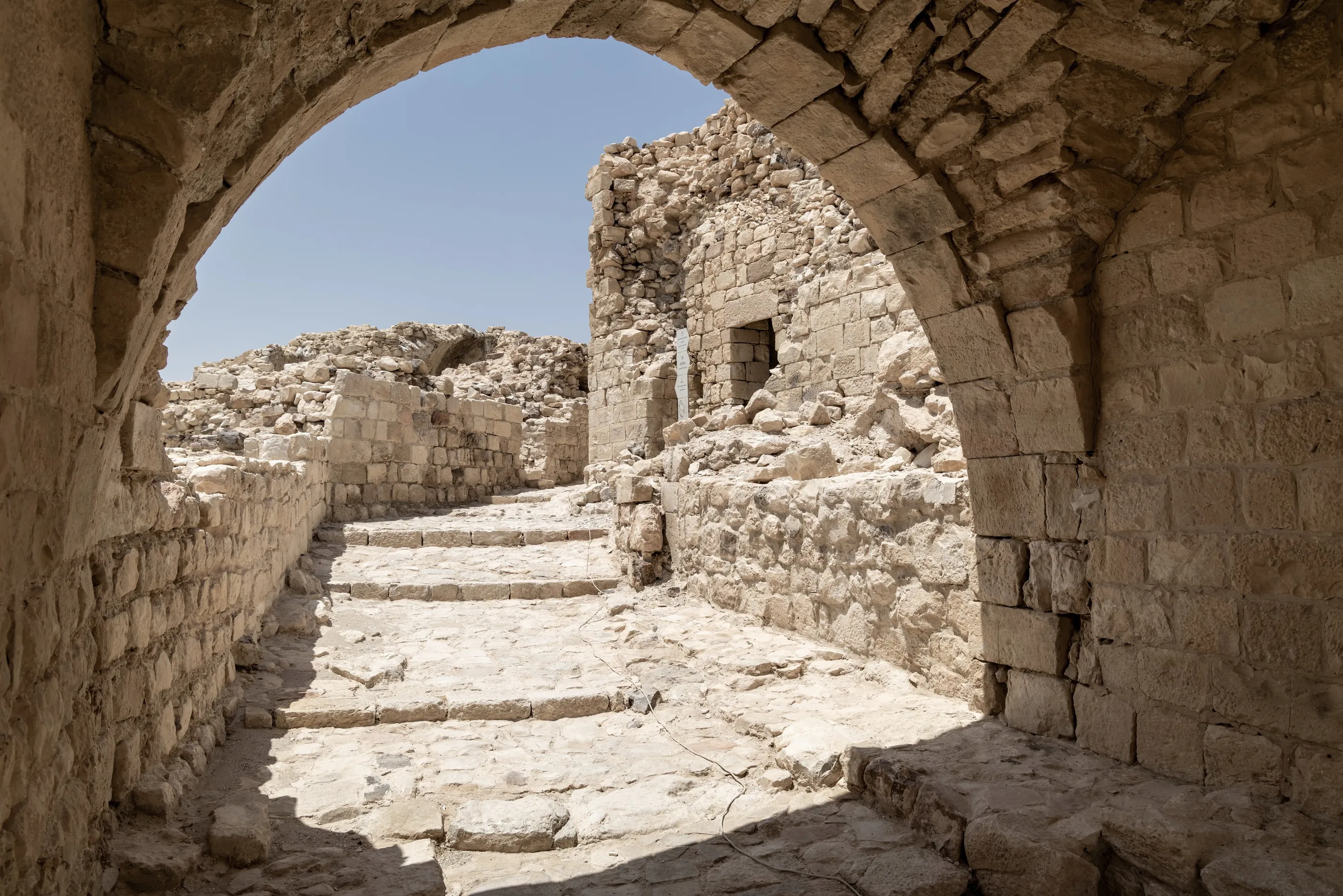
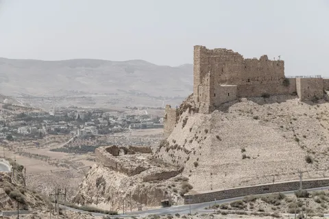
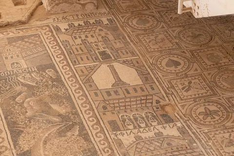
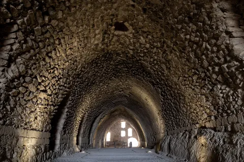
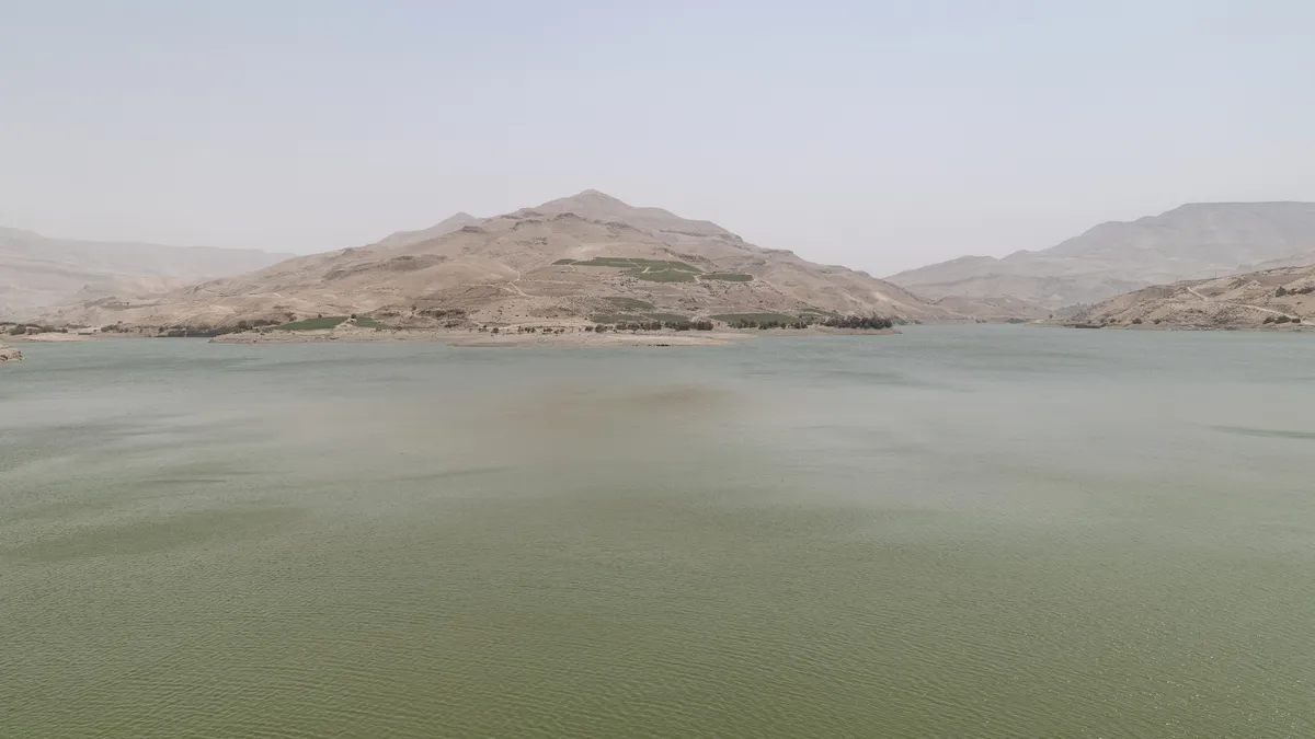
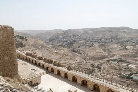
At Umm ar-Rasas, ancient Kastron Mefaa, a stylite’s tower stands alone in the steppe, and the church of St Stephen holds a mosaic from 718 depicting the cities of the Holy Land and the Nile Delta. We then join the King’s Highway, which zigzags down into the canyon of Wadi Mujib before climbing back up to Kerak. The Crusader fortress, built in 1142 and held by Raynald of Châtillon, fell to Saladin in 1188; its long vaulted galleries are still there.


By road↗ 57 km
Dana and Shobak
Jordan
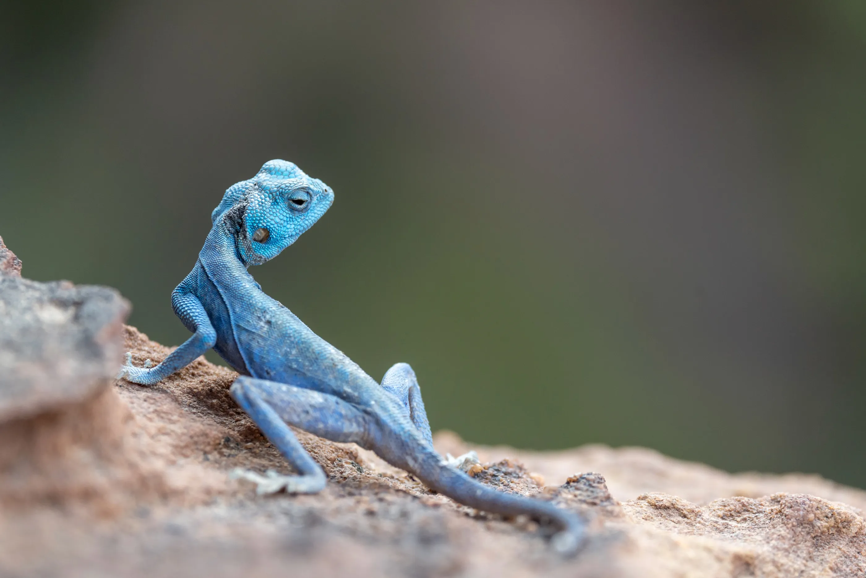
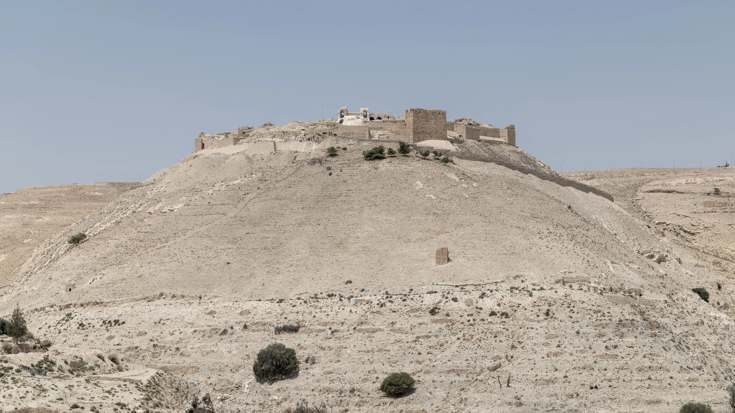
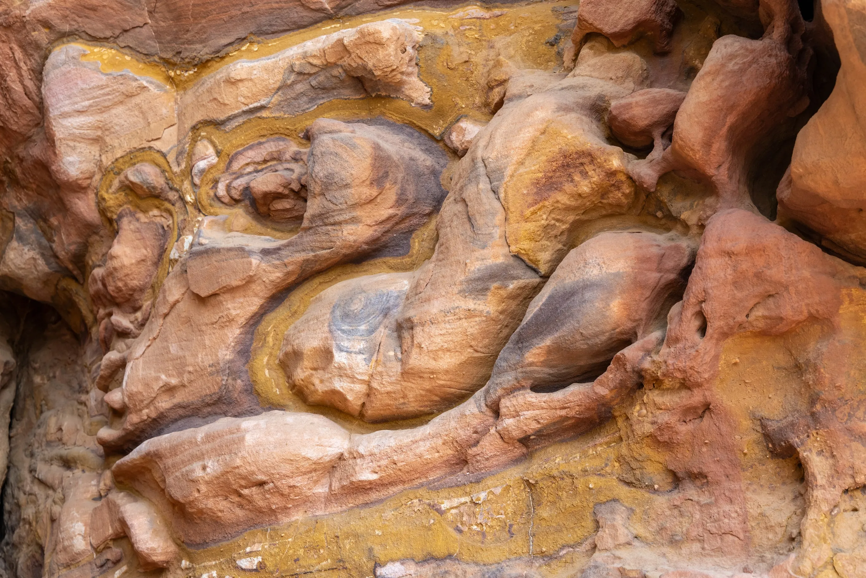
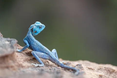
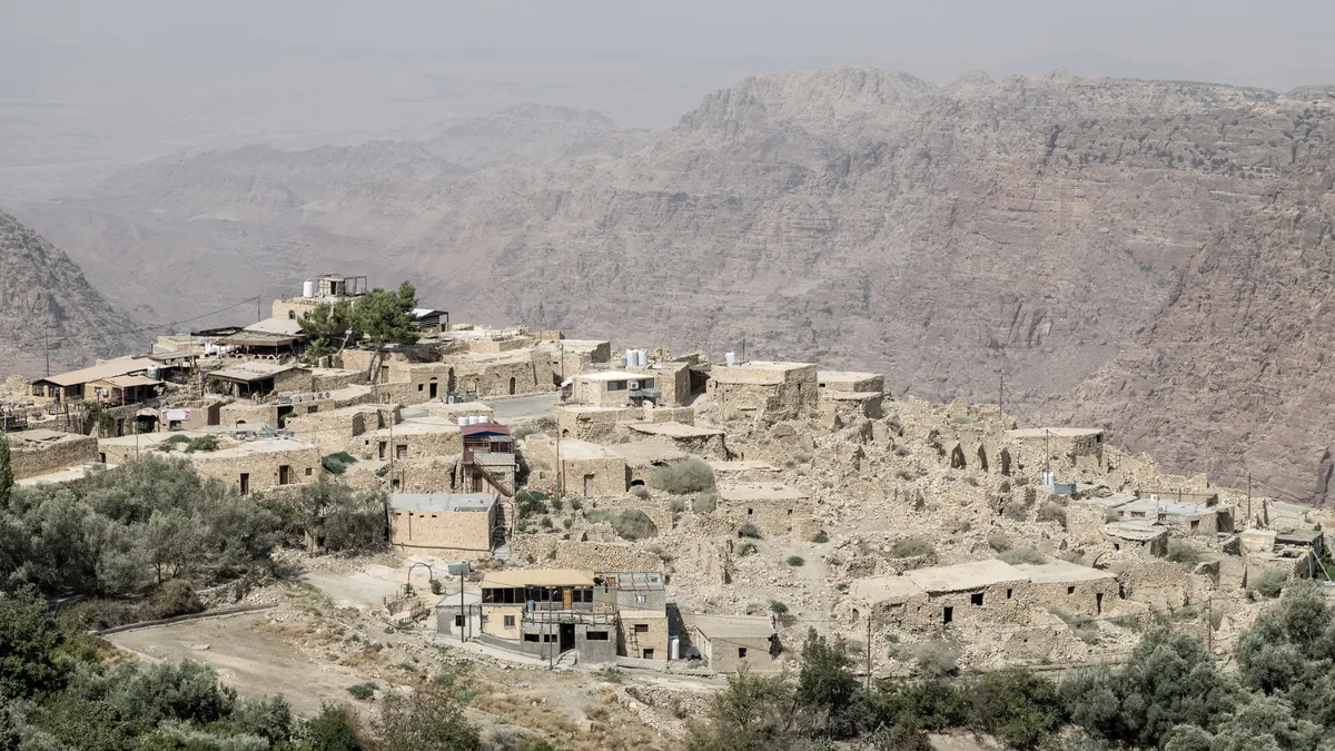
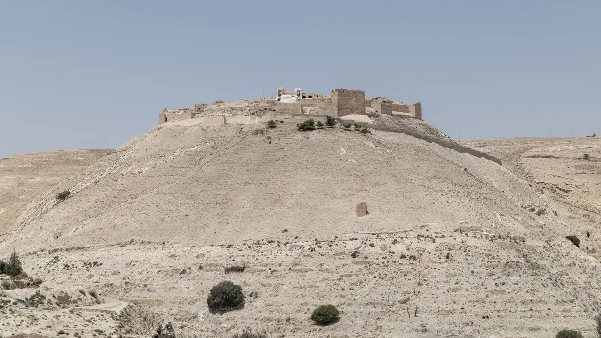
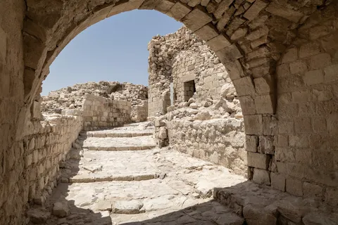
The old Ottoman village of Dana clings to the rim of a vast valley falling towards Wadi Araba. At dawn: domes of white and ochre sandstone, the coloured veins of the rock, a wild flower, and an electric-blue Sinai agama. Further south, Shobak castle — the Crusaders’ “Montréal”, founded in 1115 by Baldwin I — keeps watch from its bare hill.




By road↗ 42 km
Petra
Jordan
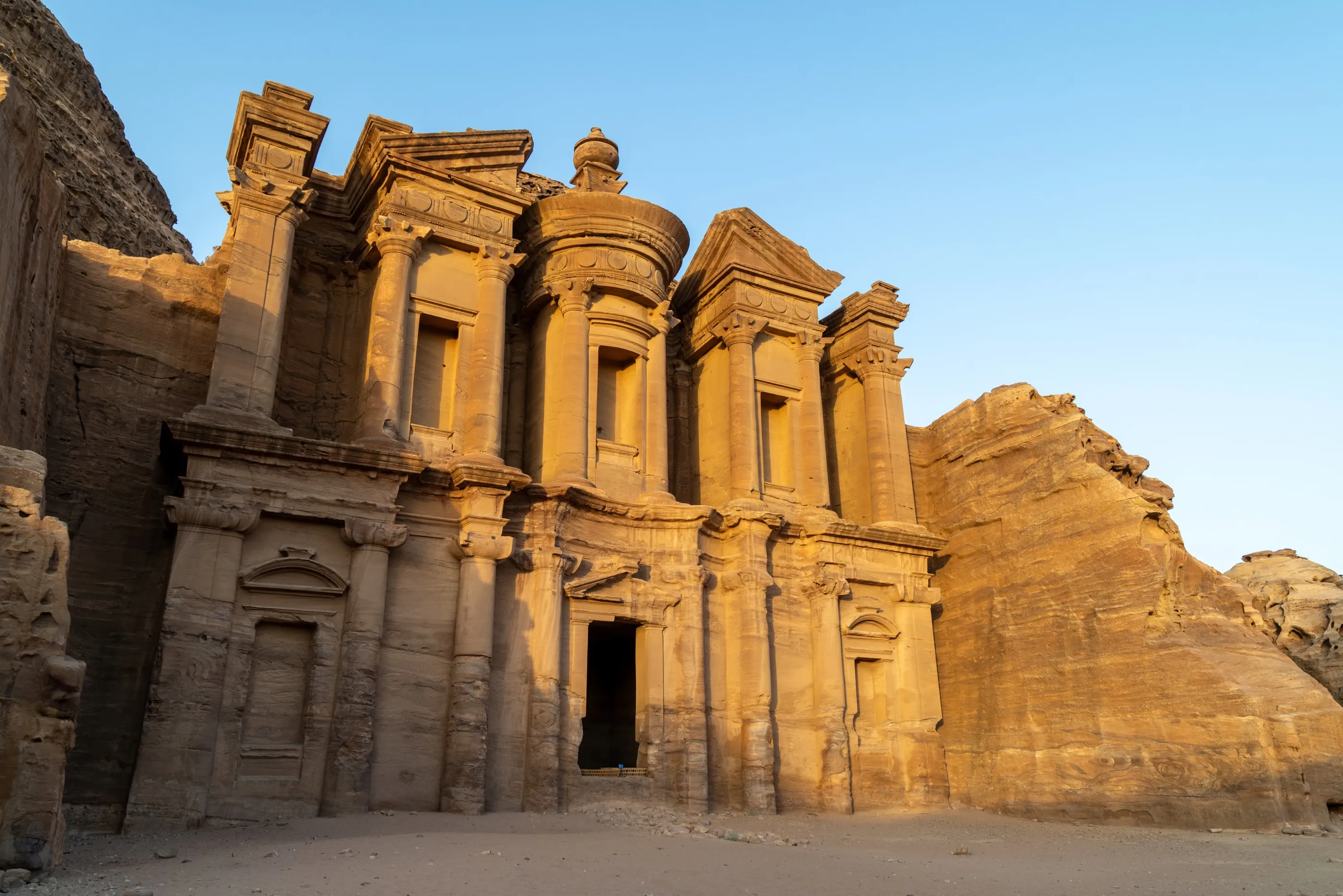
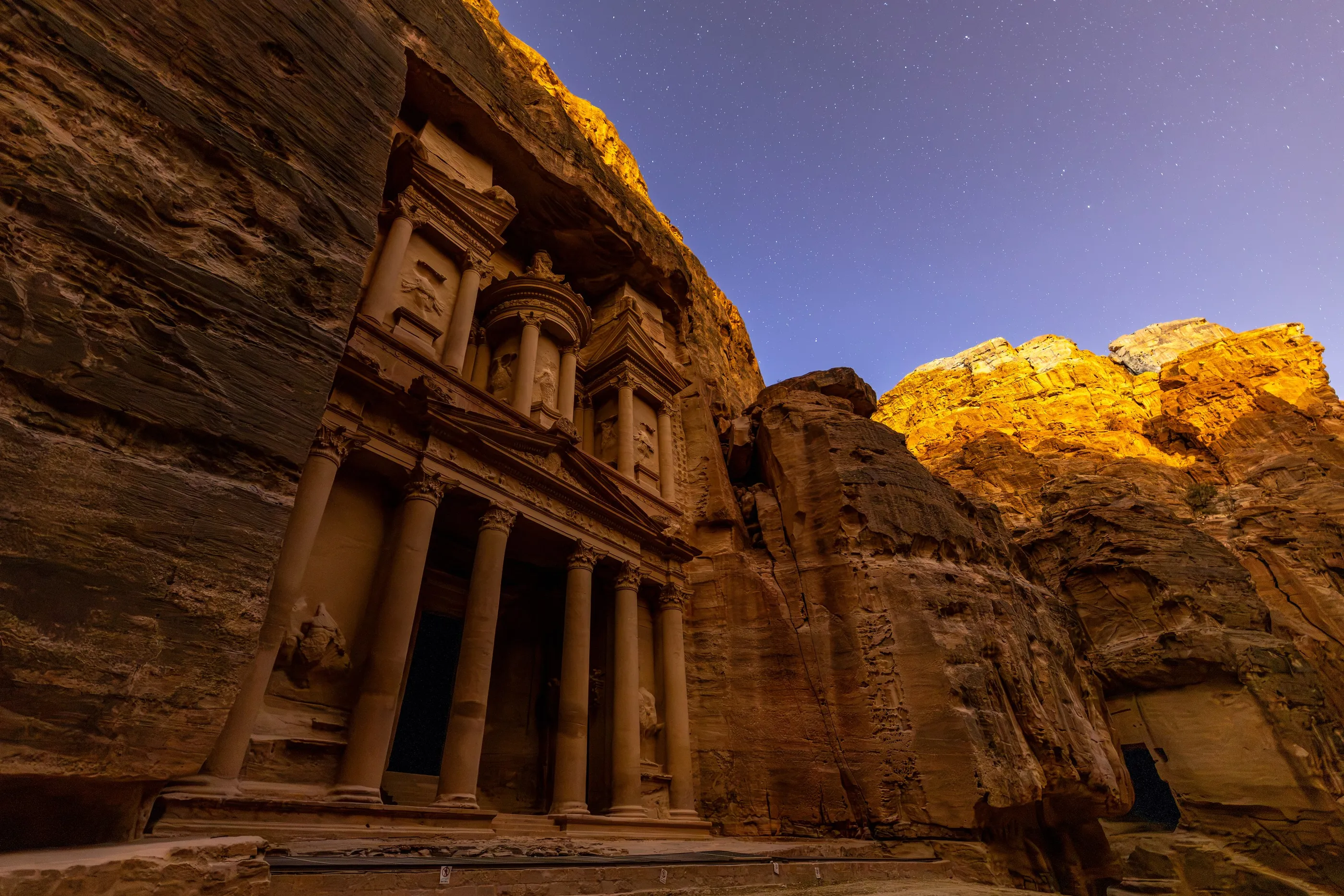
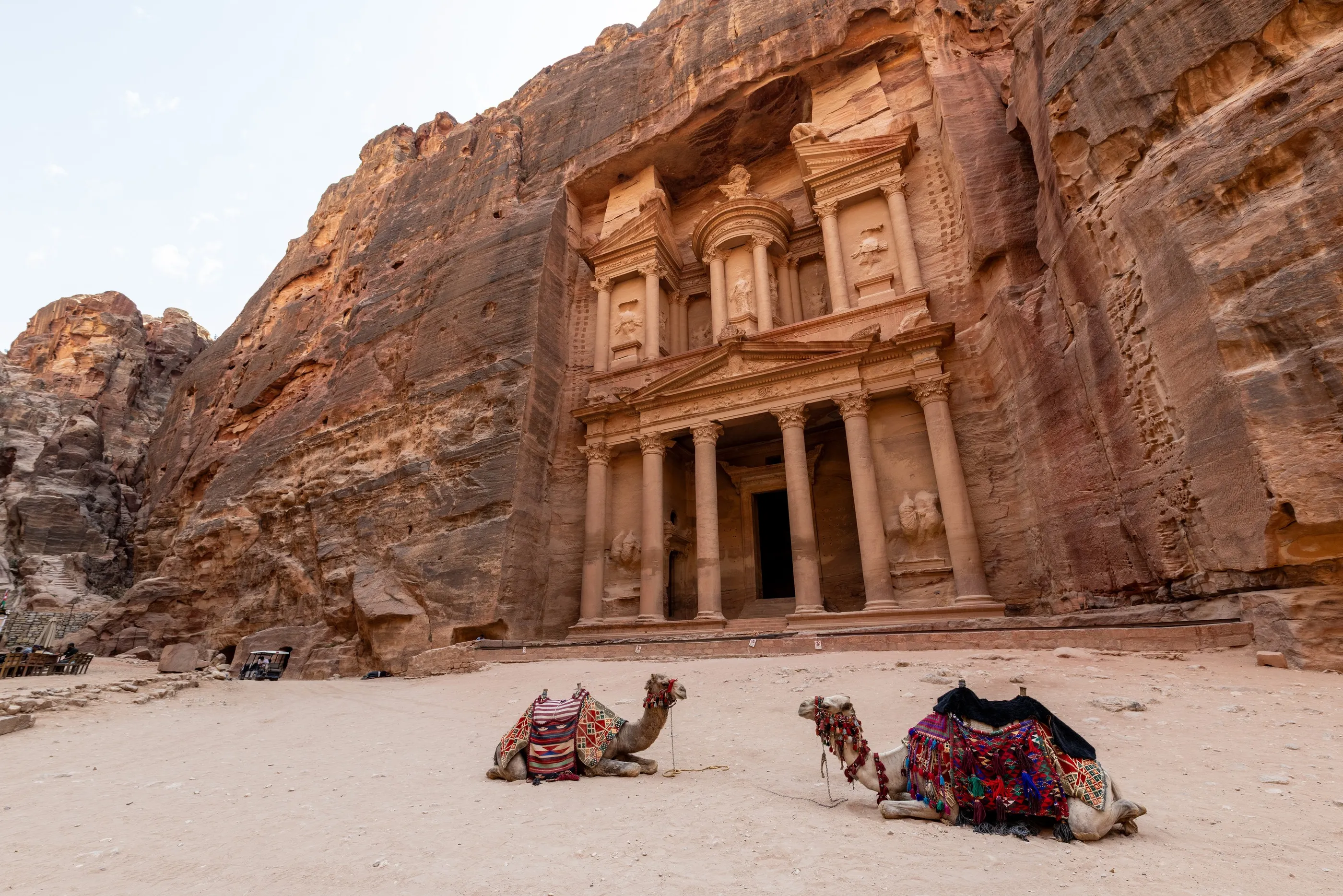
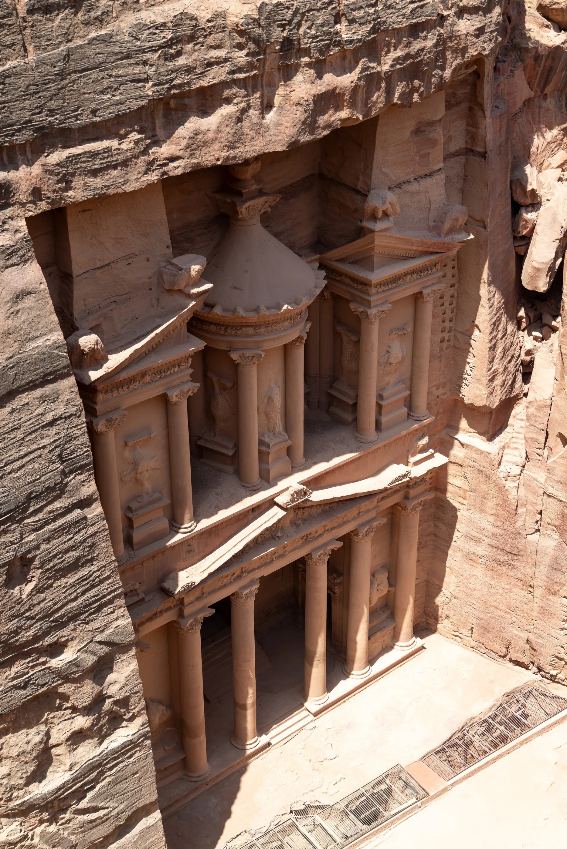
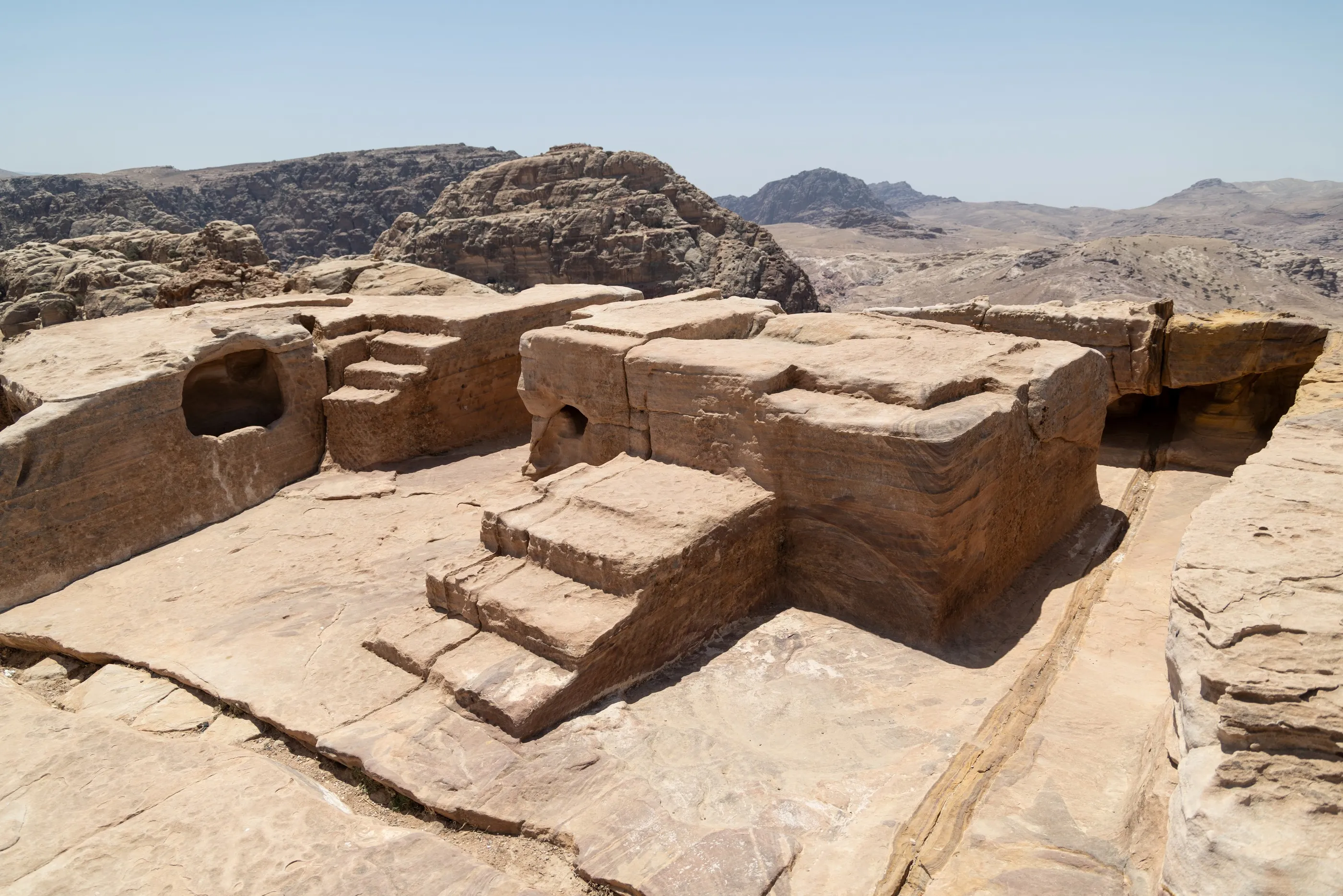
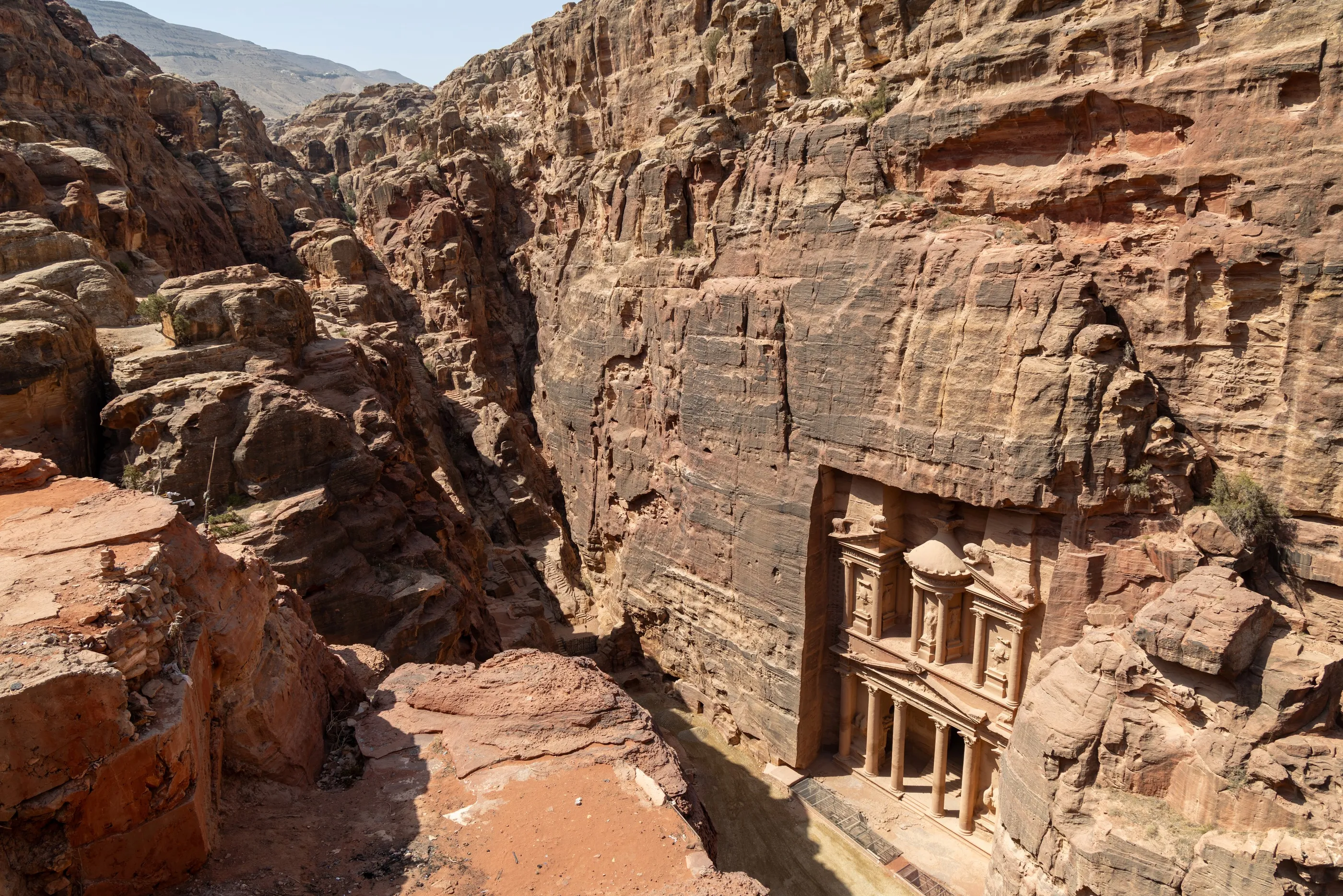
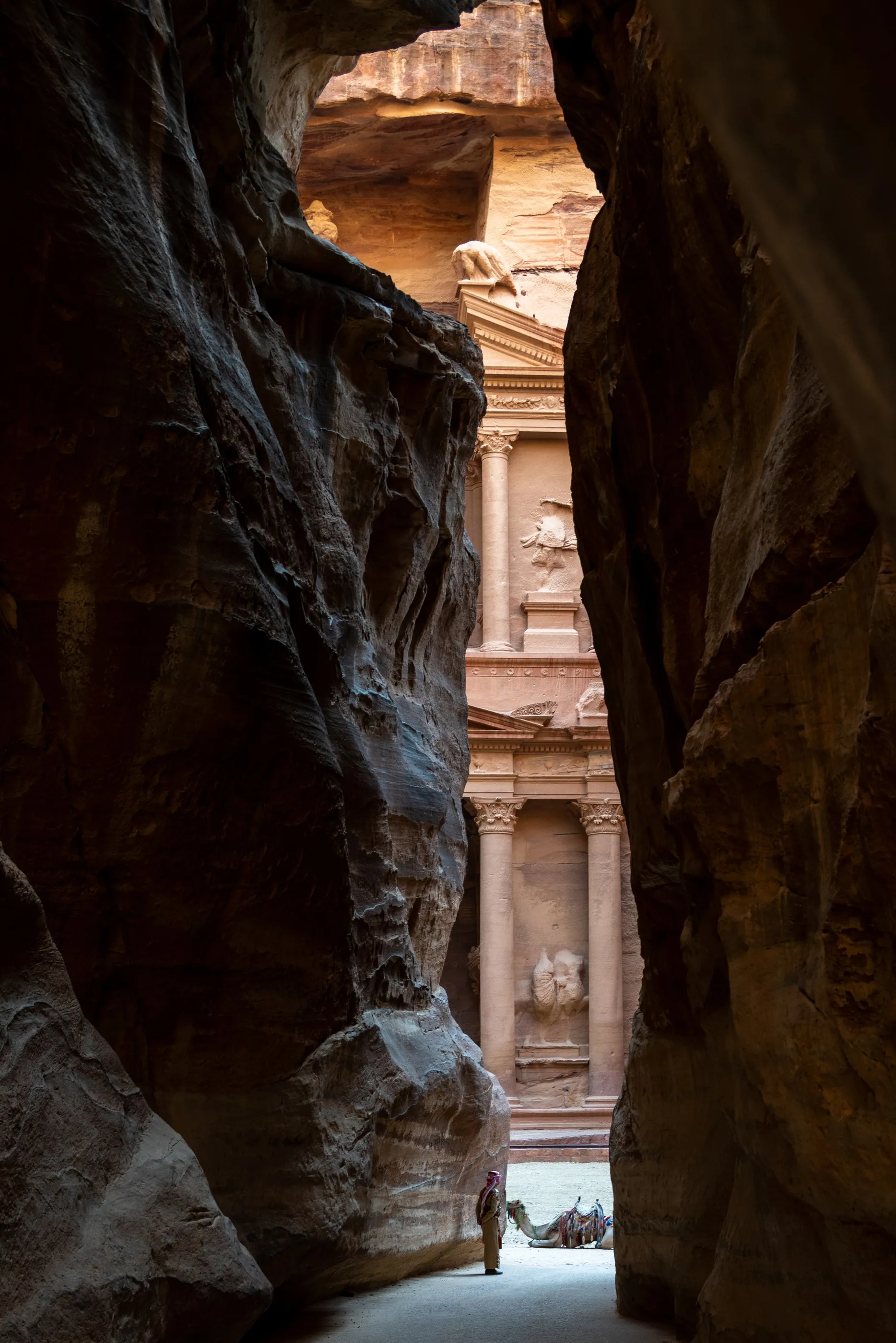
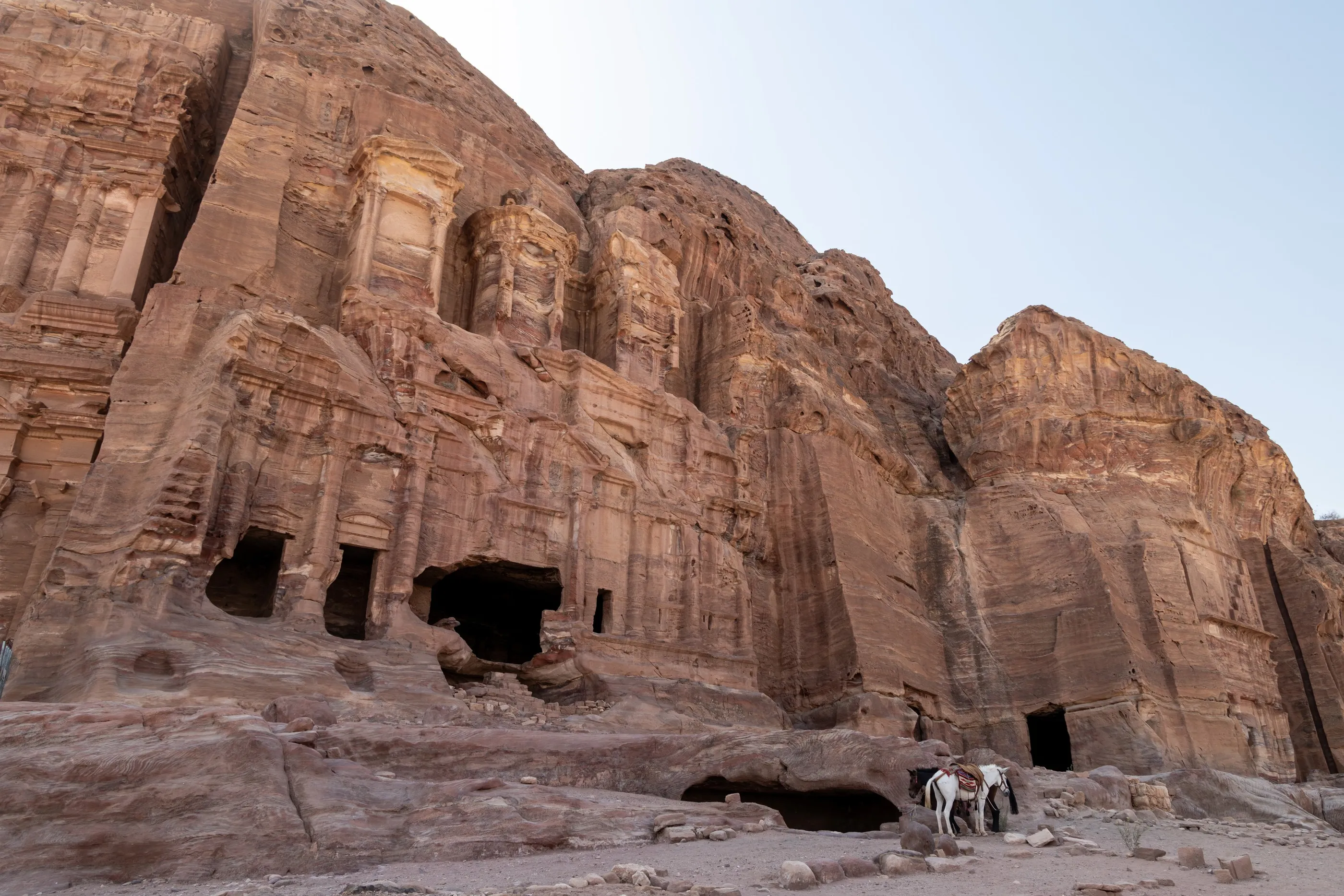
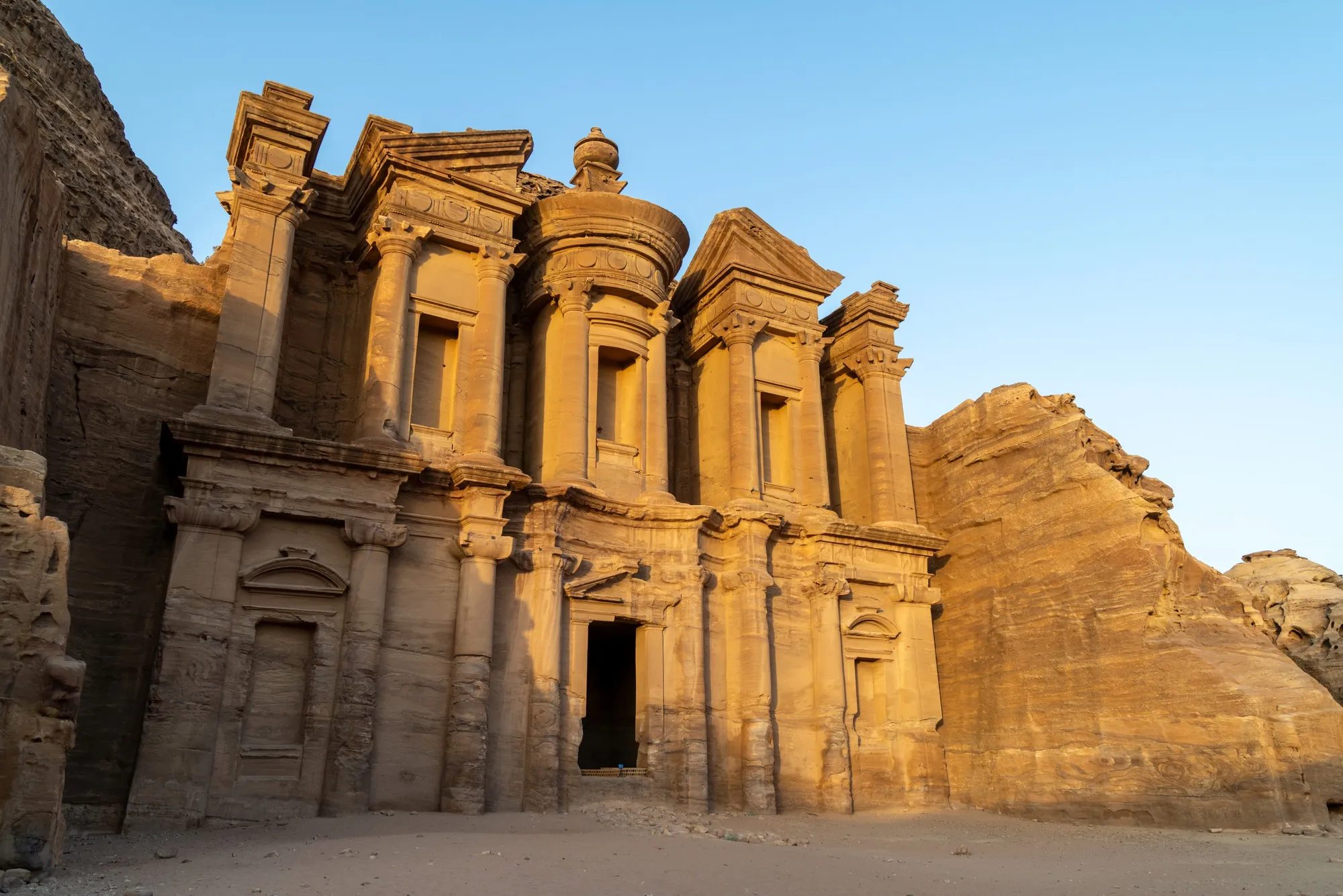
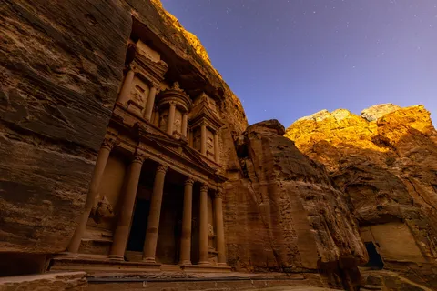
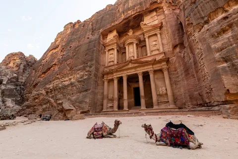
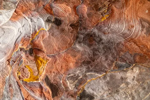
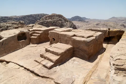
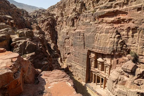
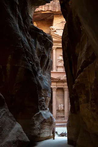
We enter Petra as the Nabataean caravans did, through the Siq, a kilometre-long pink fissure that suddenly opens onto the façade of the Khazneh, the “Treasury”. The next day we see it from above before climbing to the High Place of Sacrifice, then up some eight hundred steps to the Deir, the Monastery, ablaze in the evening light. At nightfall, the Treasury glows under the stars.



On foot
Petra, Royal Tombs and Bedouins
Jordan
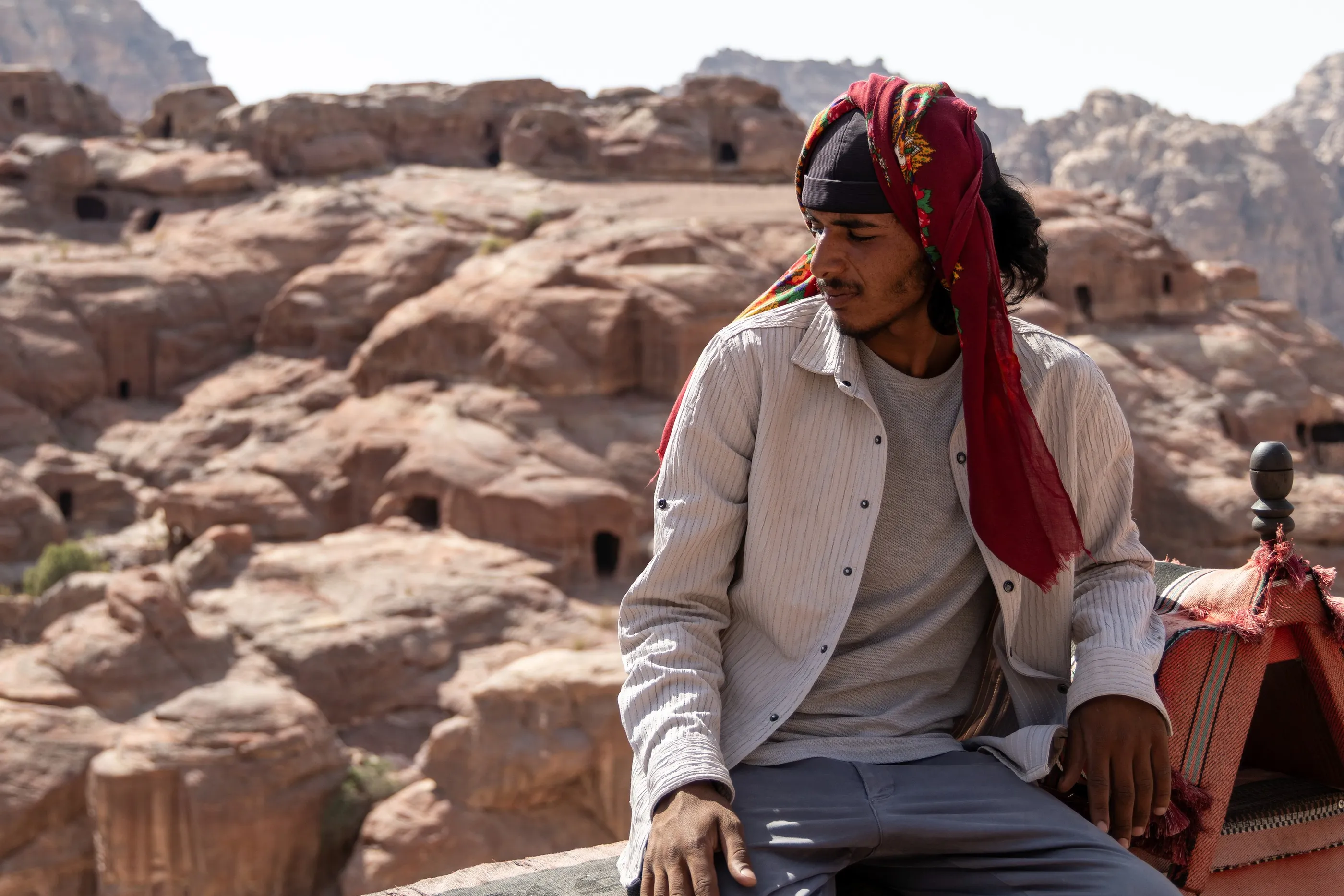
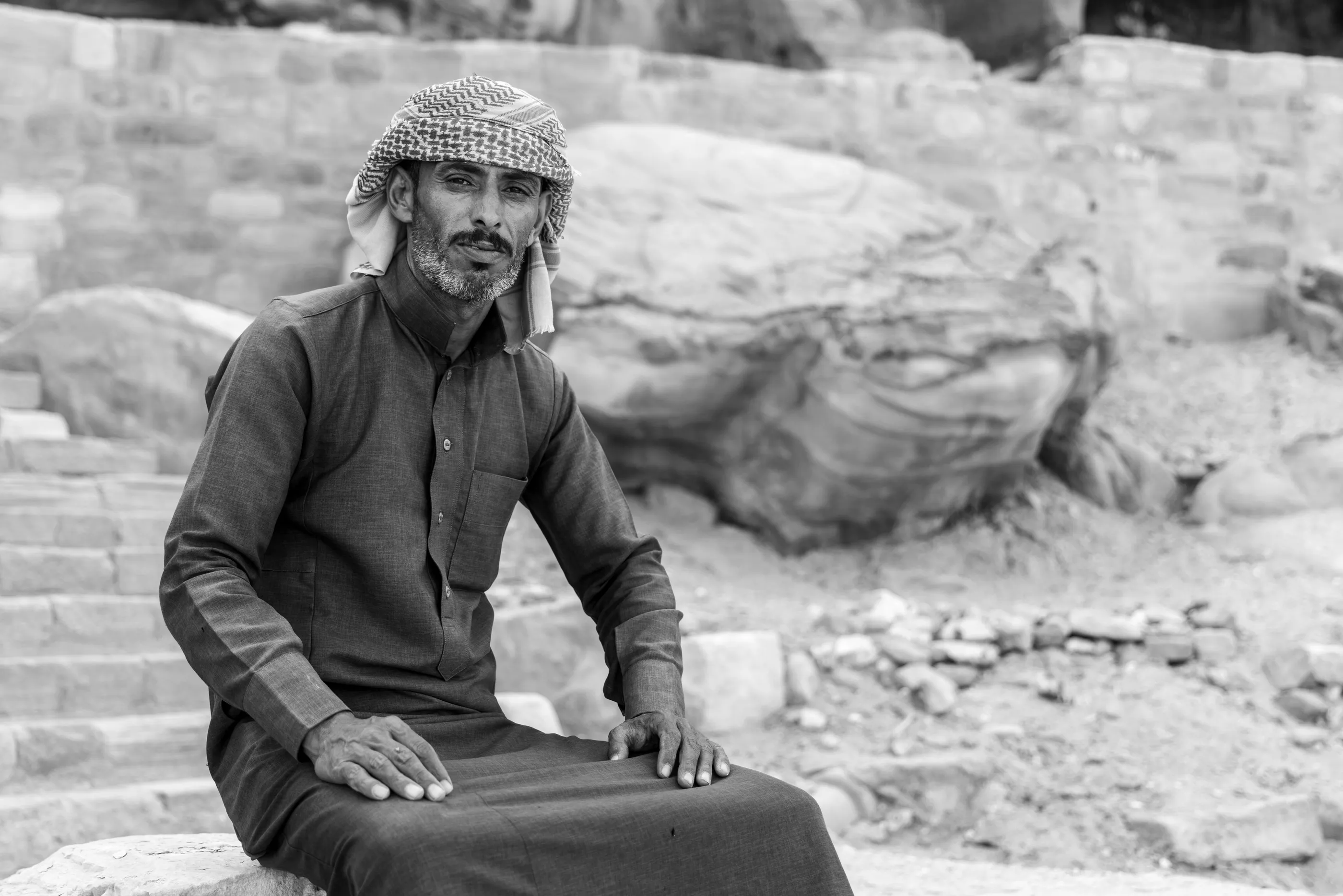
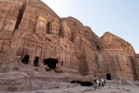
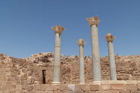
A second day in the rose-red city: the Royal Tombs, the Great Temple and the colonnaded street, then the Treasury again from the heights. The Bdoul Bedouin, who long lived in Petra’s caves, sell tea and jewellery there, and sometimes agree to a portrait. In the museum, Nabataean gods with geometric eyes remind us that behind the Hellenised façades lived a religion all its own.



By road↗ 86 km
Little Petra and Wadi Rum
Jordan
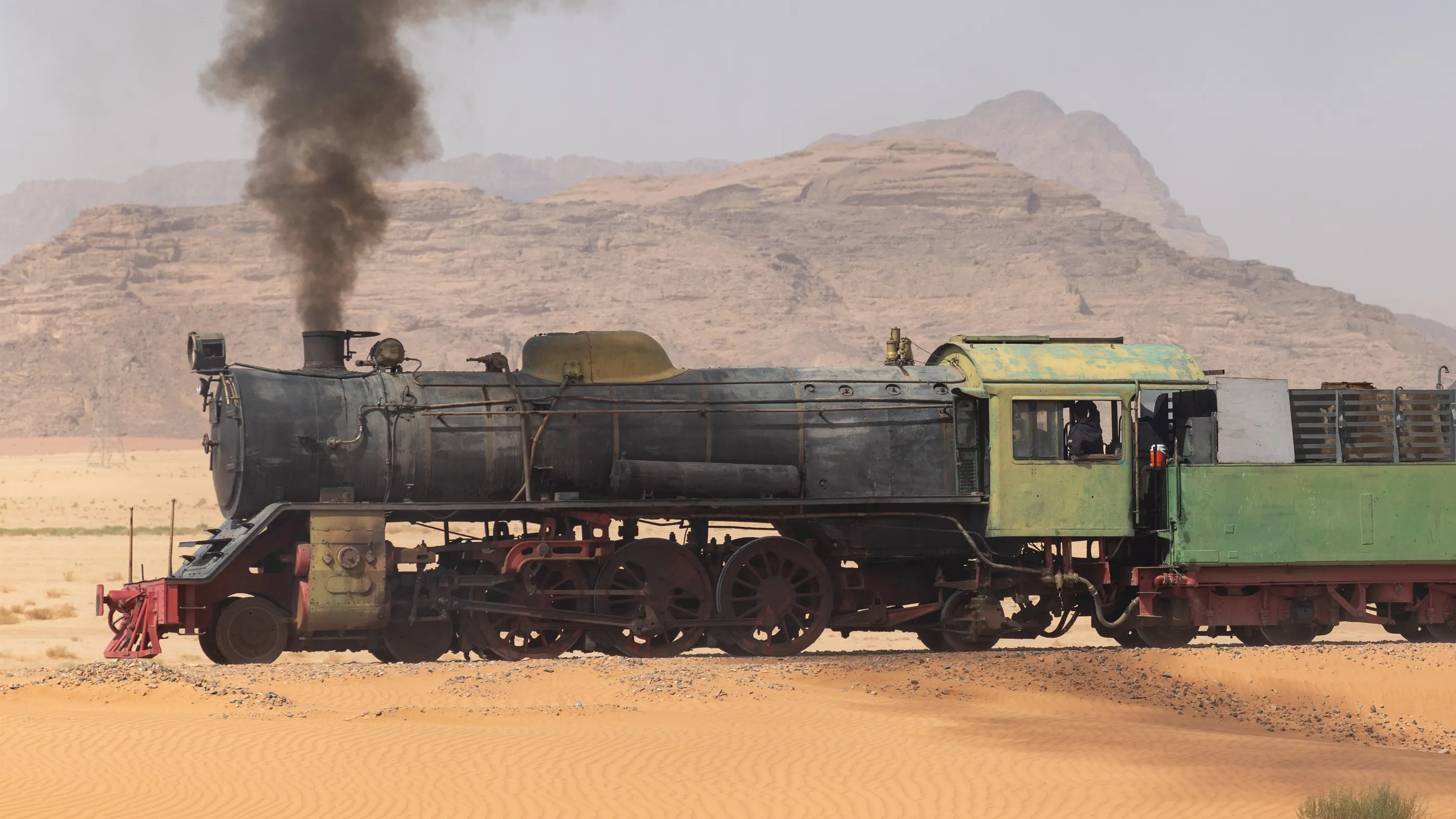
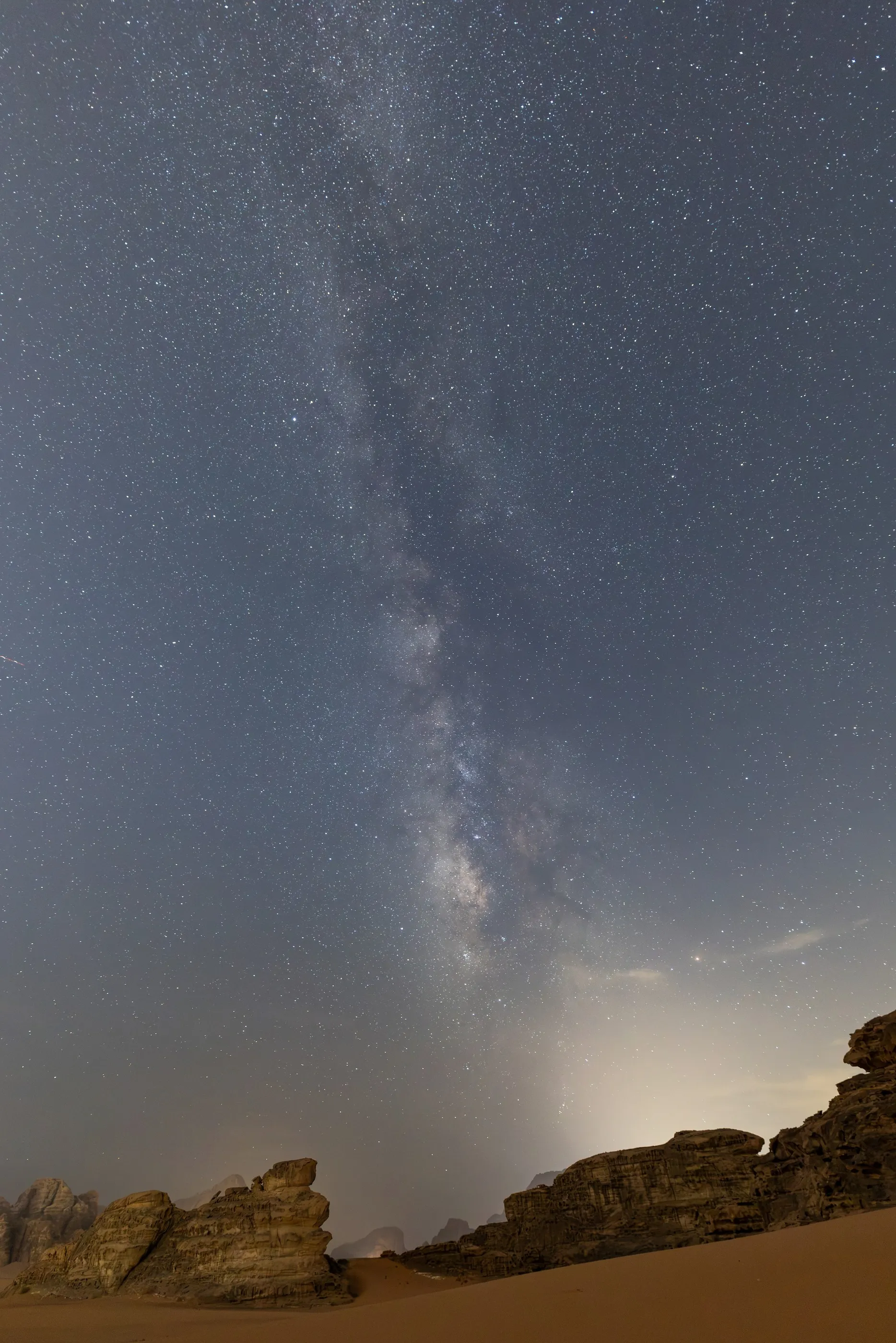
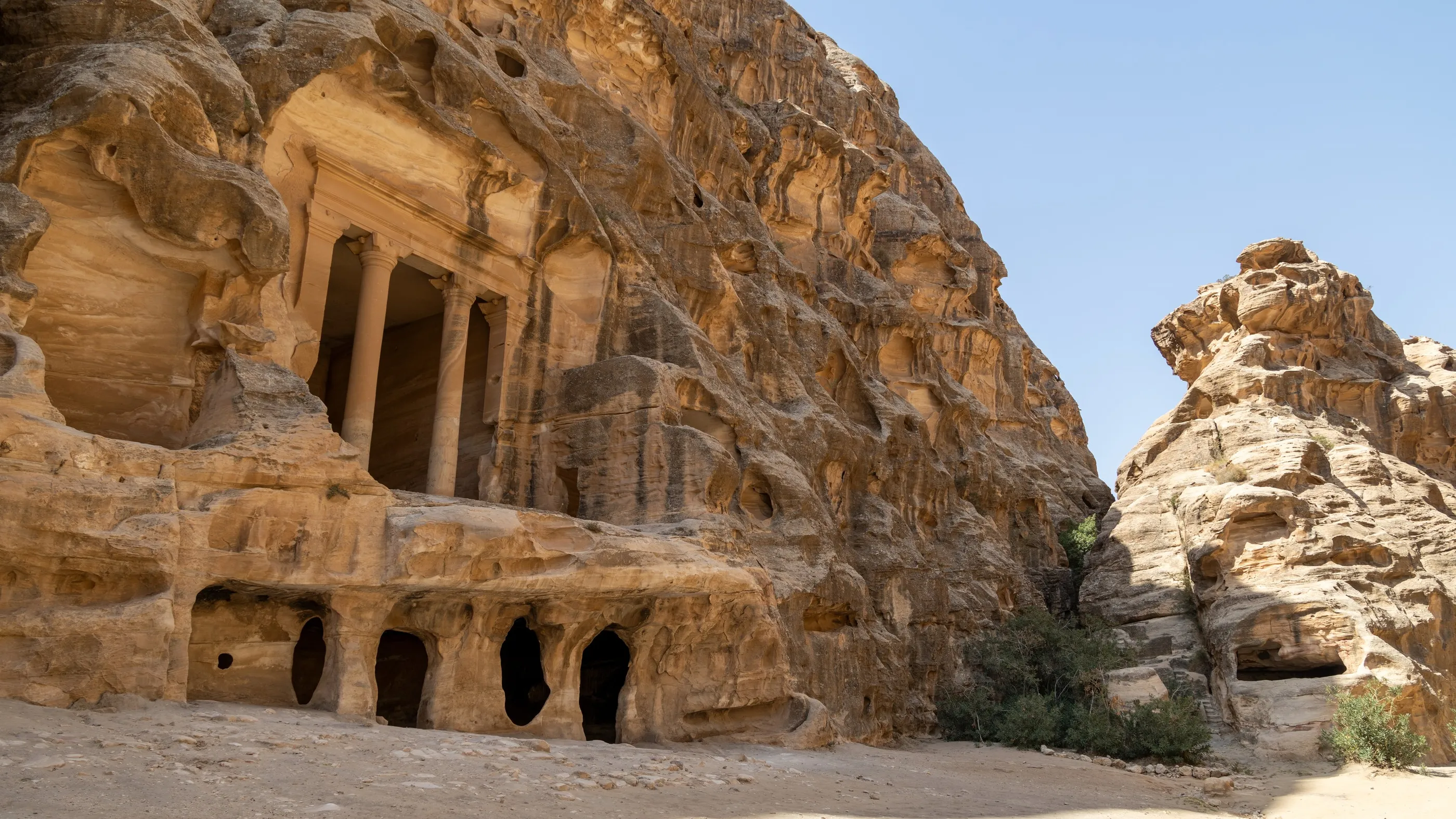
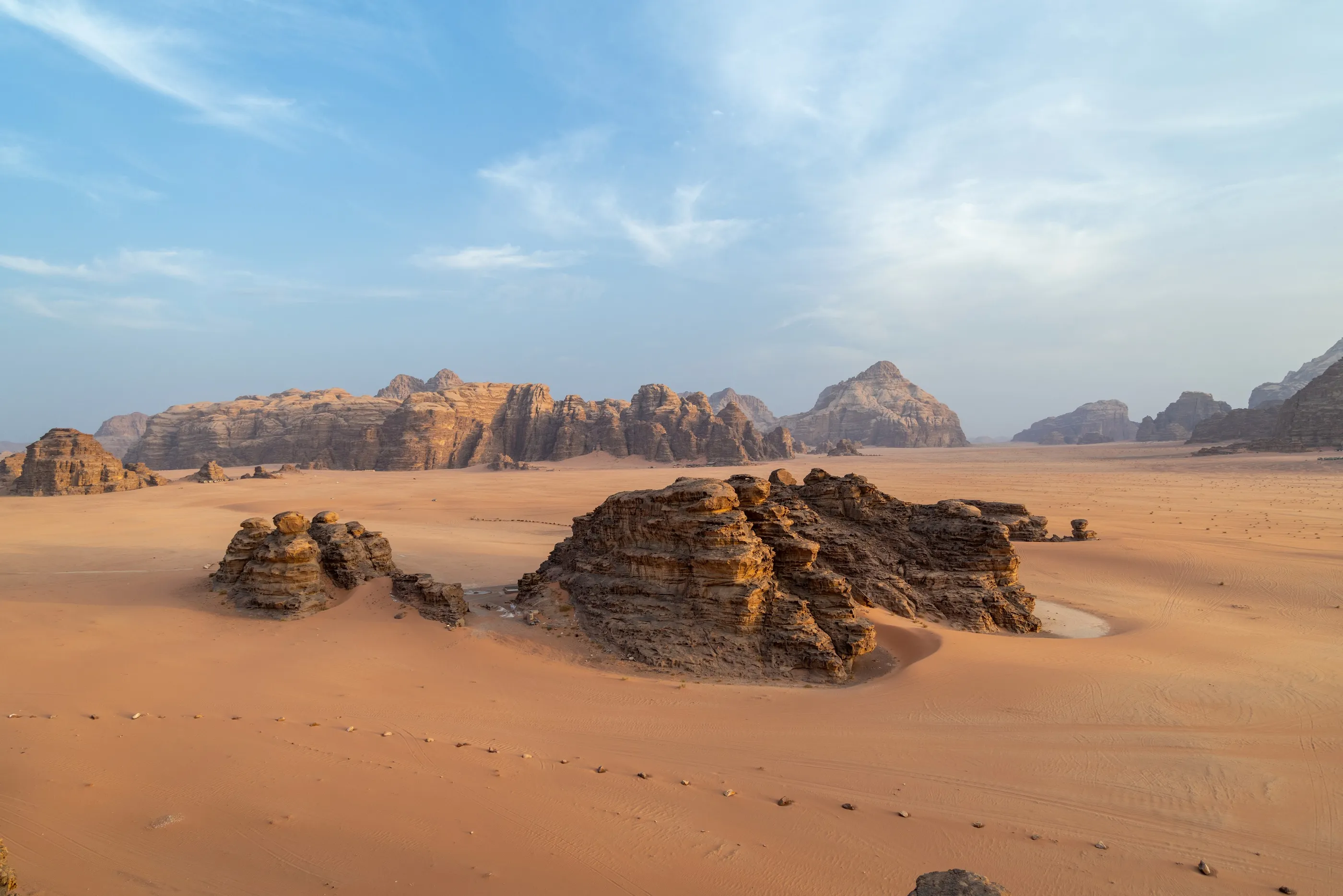
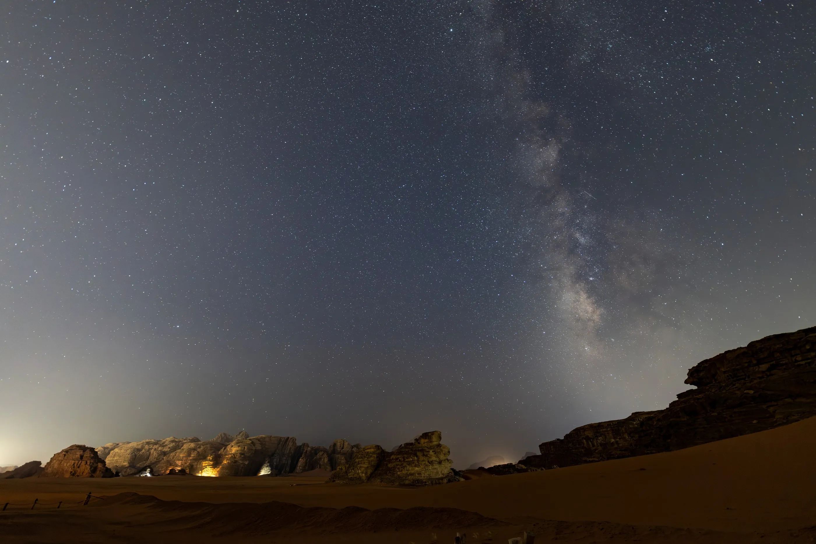
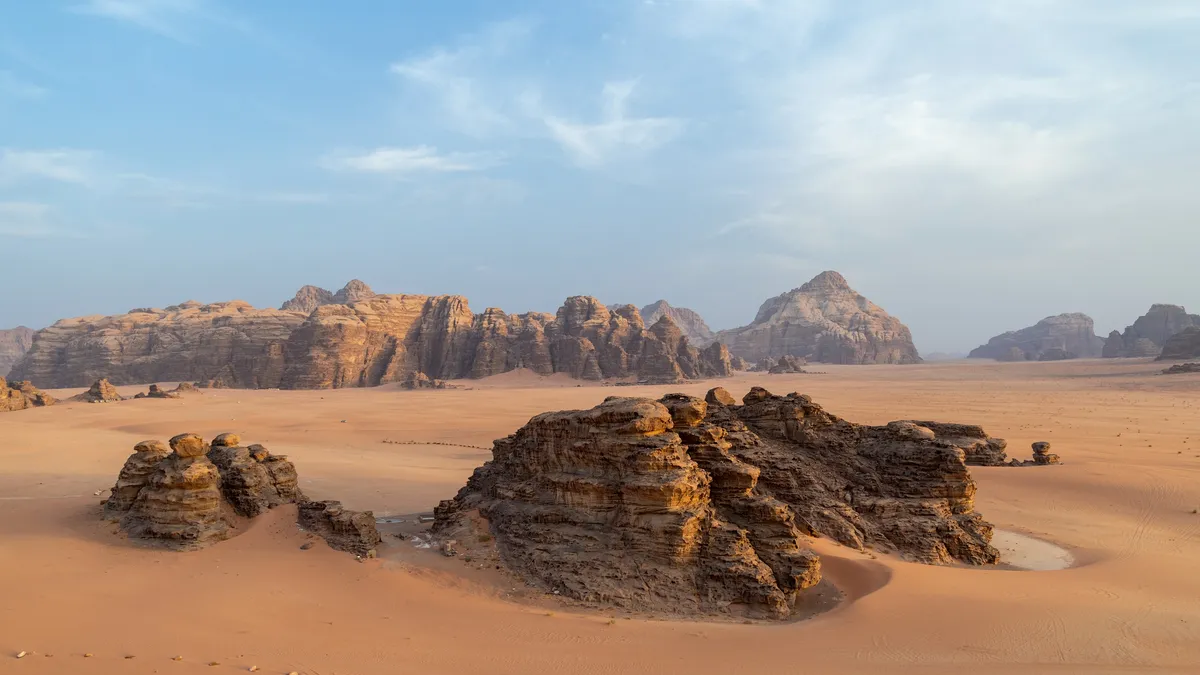
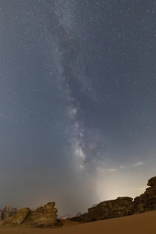
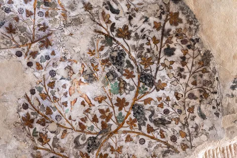
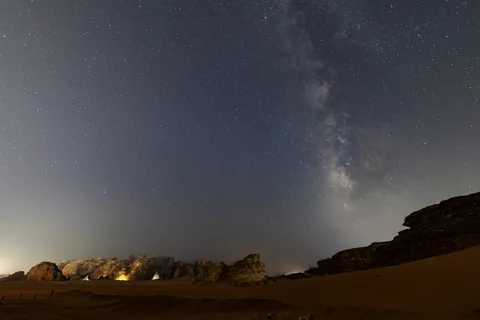
In the morning, Little Petra (Siq al-Barid), a Nabataean caravan stop, where a first-century painted ceiling still unfurls its vines, birds and cupids — an extremely rare Nabataean painting. In the afternoon, Wadi Rum: an old locomotive of the Hejaz Railway puffs black smoke over the sand, then sandstone inselbergs rise from the red sand. At night, at the camp, the Milky Way rises above the dunes.



By road↗ 8 km
Wadi Rum by Jeep
Jordan
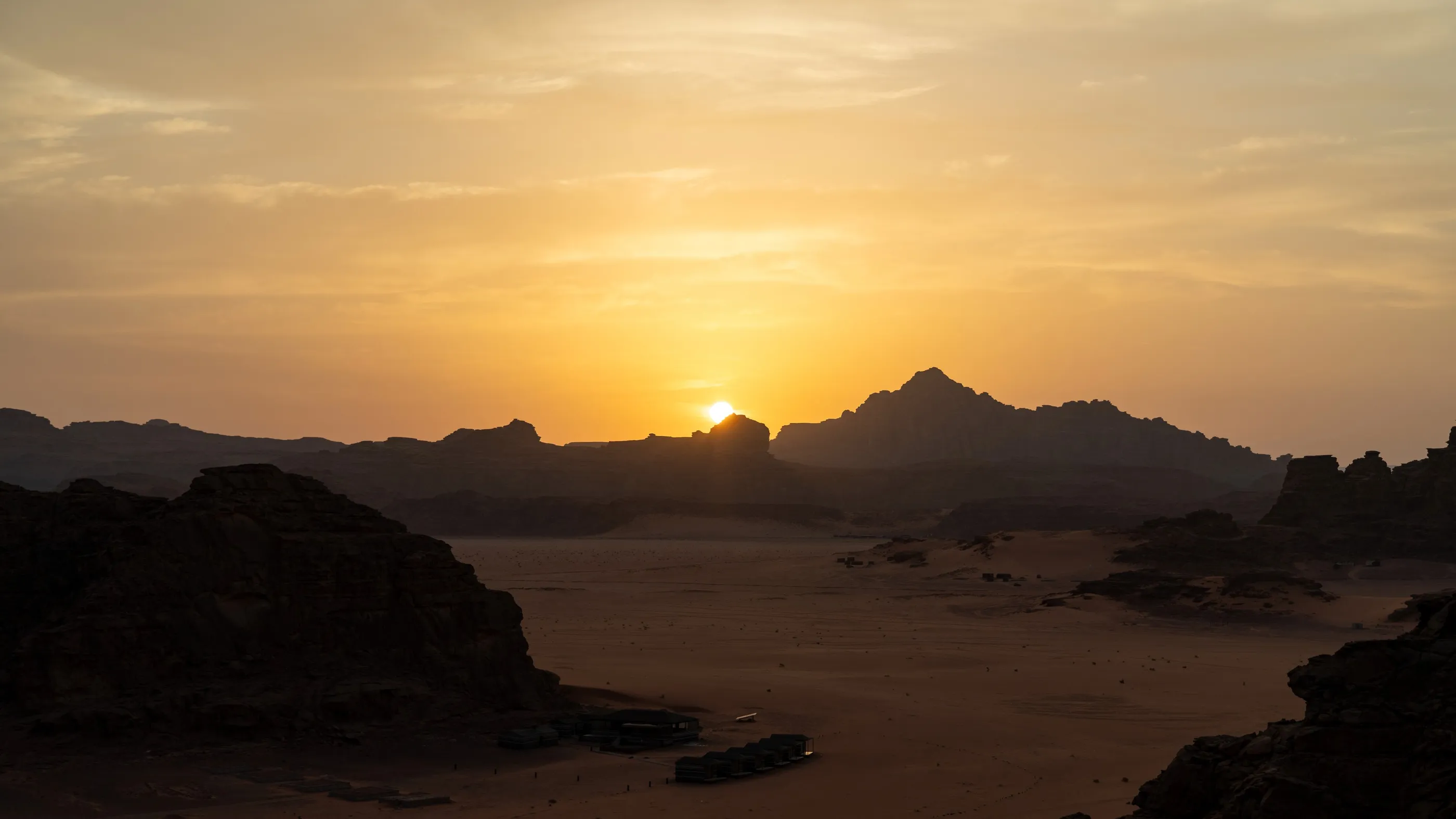
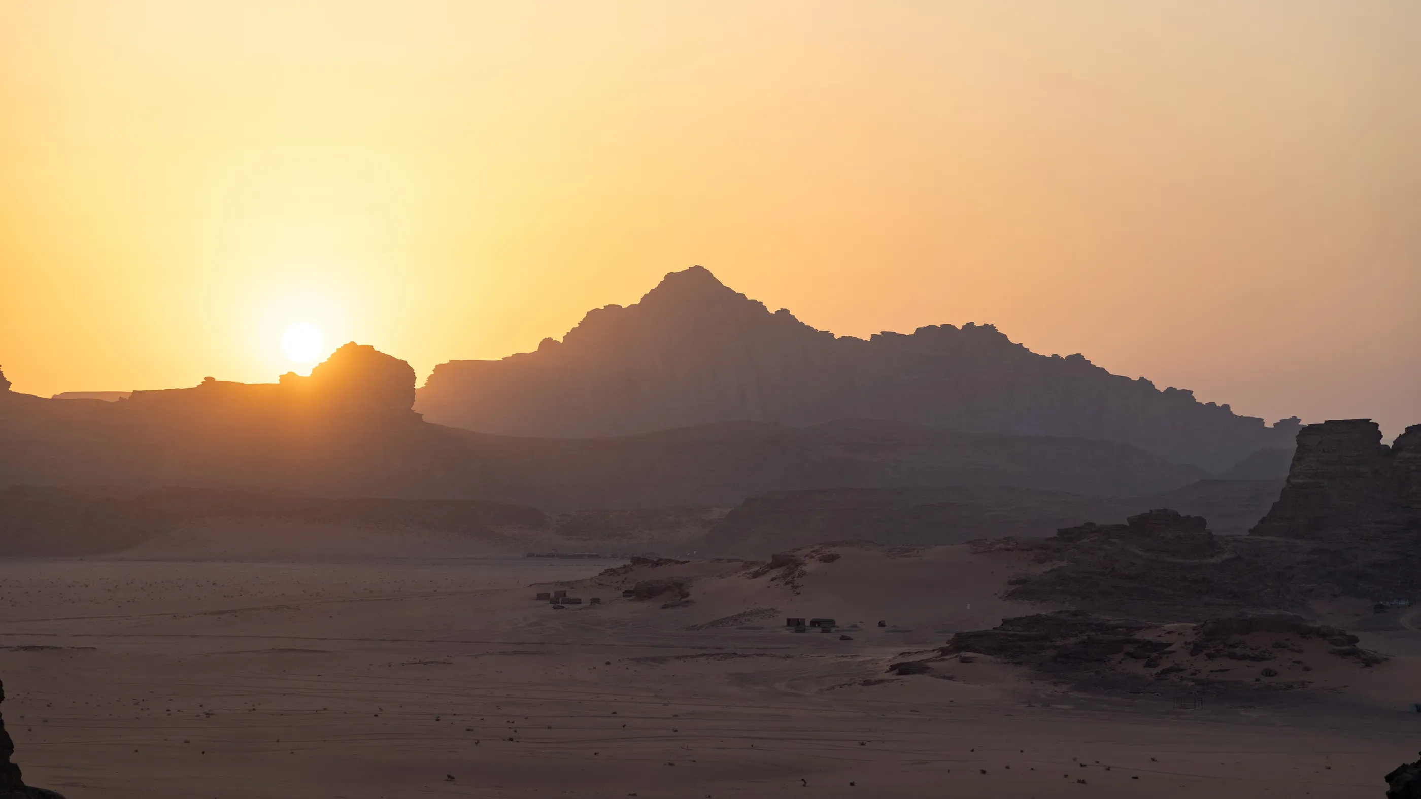
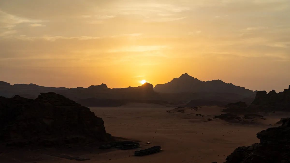
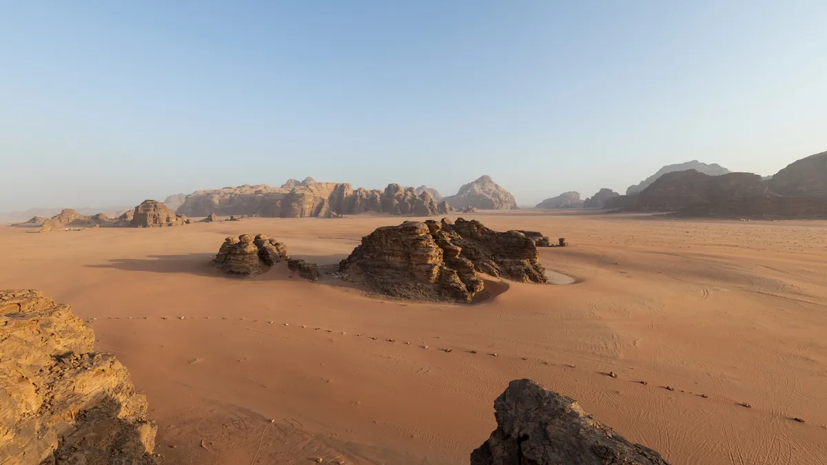
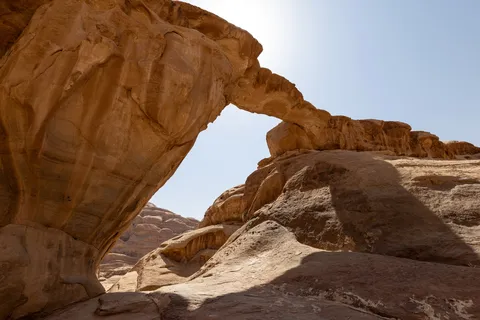
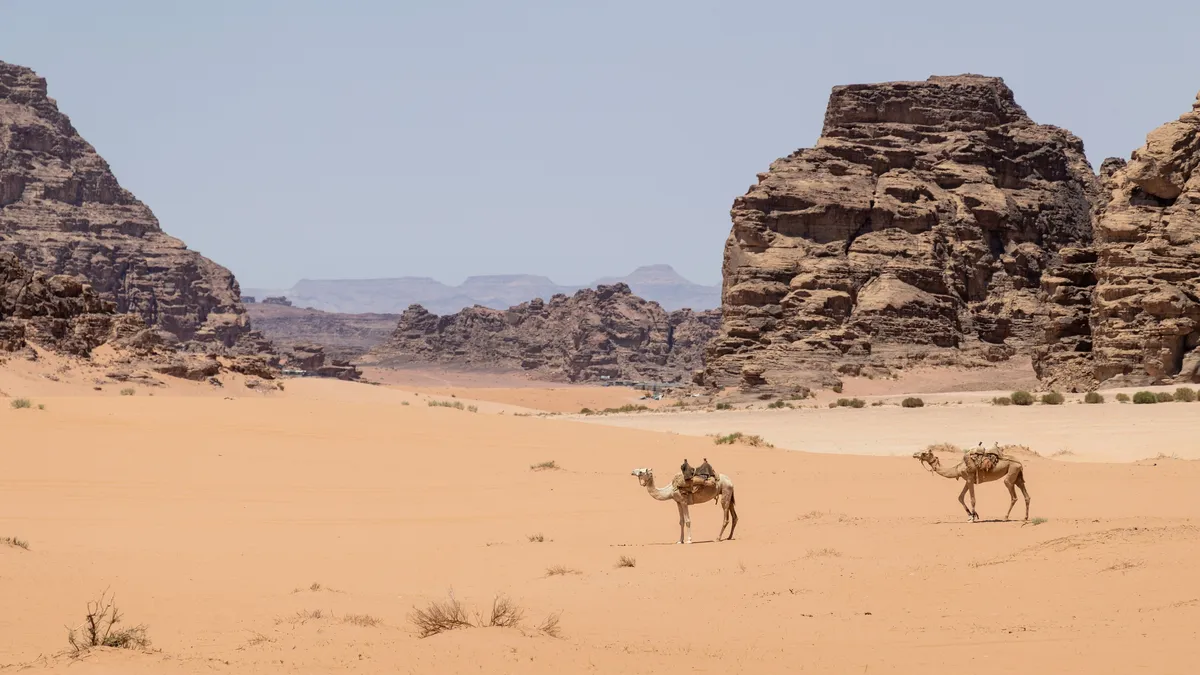
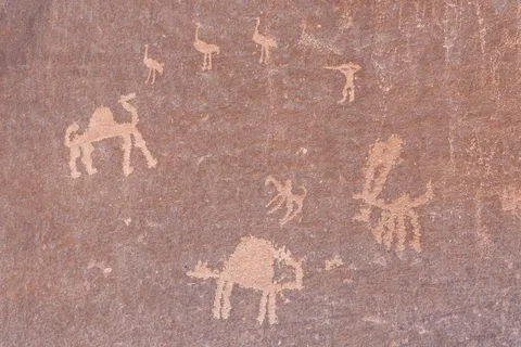
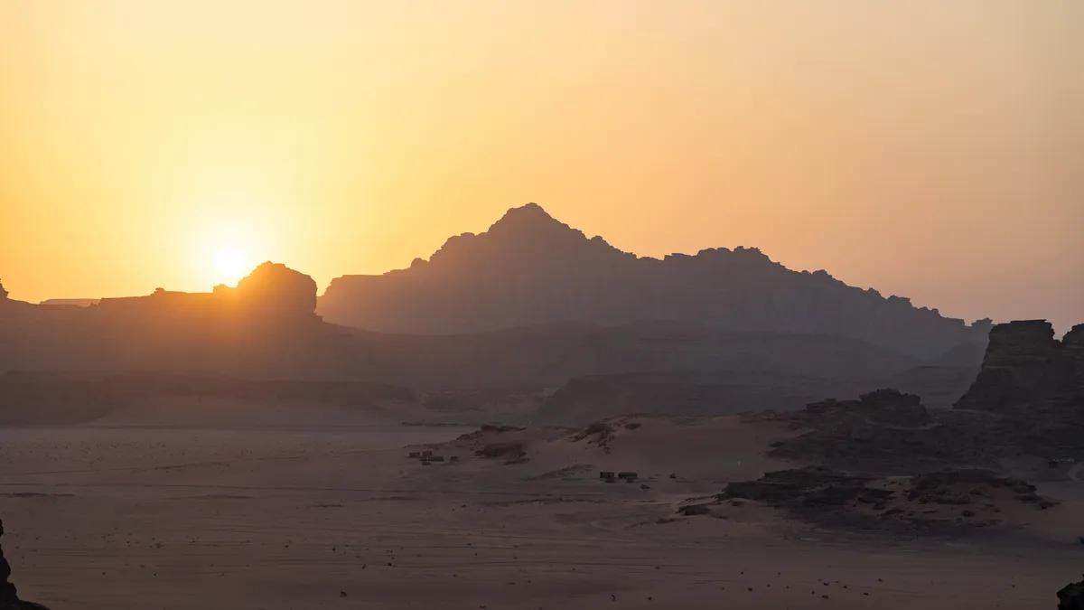
A whole day across the “Valley of the Moon”: petroglyphs of camels and hunters, Thamudic and Nabataean inscriptions, natural arches, mushroom rocks and wind-rippled dunes. Camels rest at the foot of the massifs. In the evening, from a ridge, the sun sinks behind jagged peaks, and the Milky Way returns over the camp.


By road↗ 46 km
Aqaba
Jordan
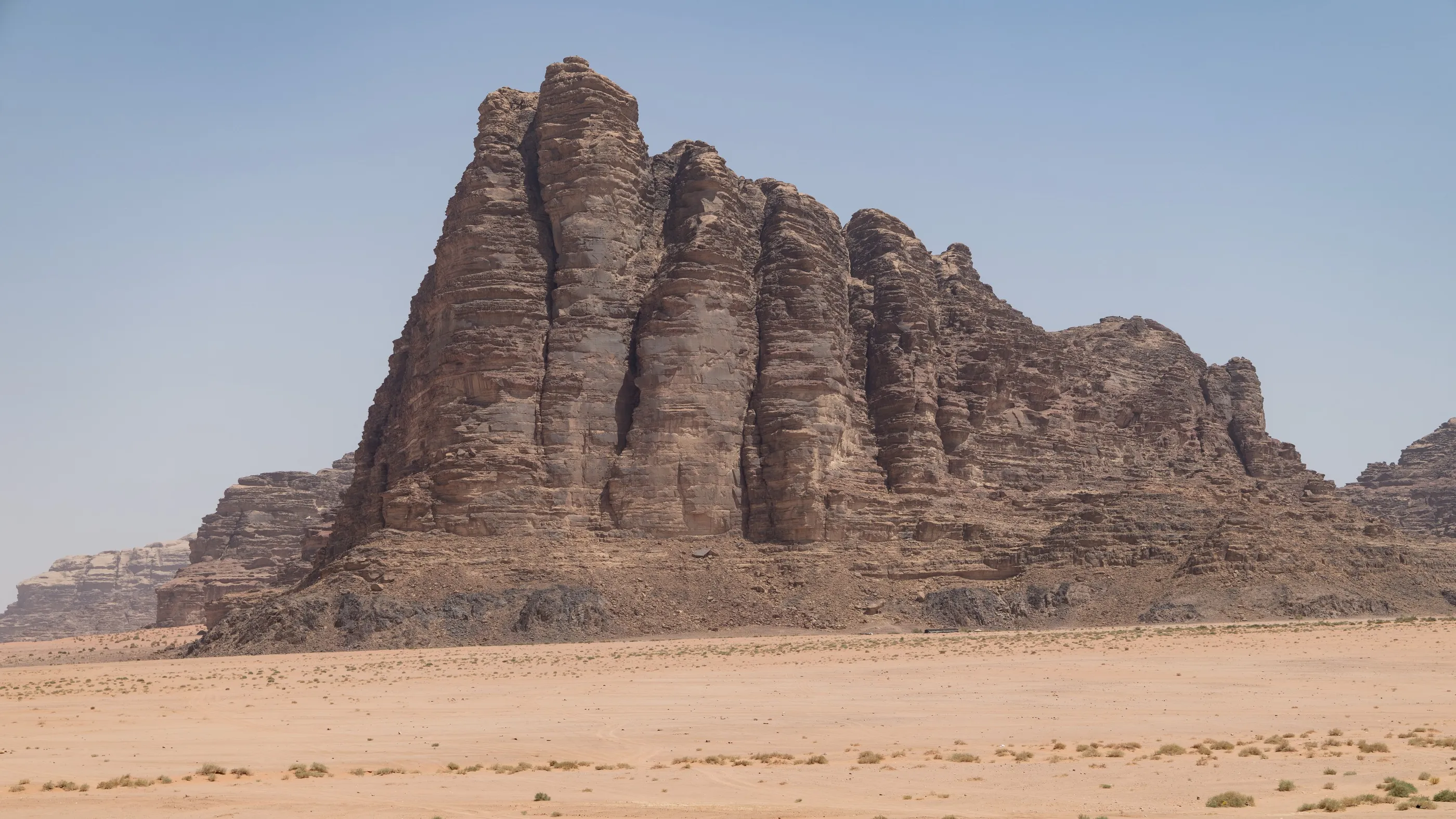
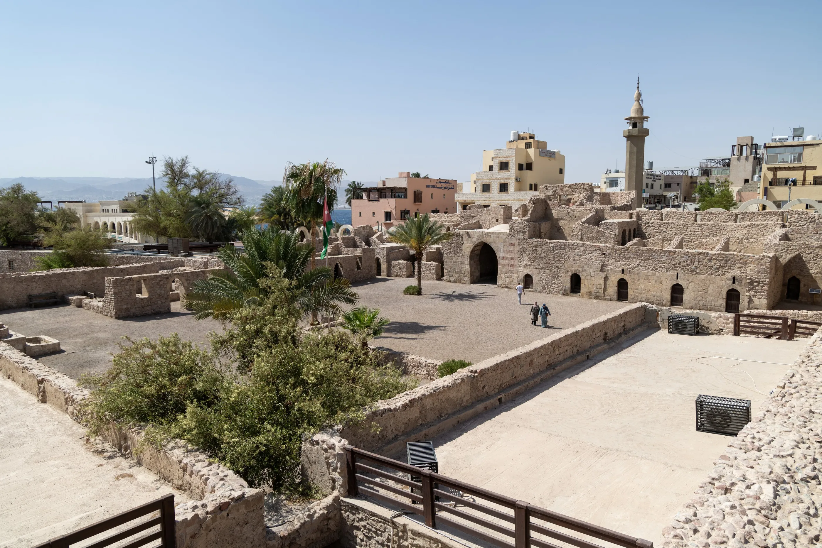
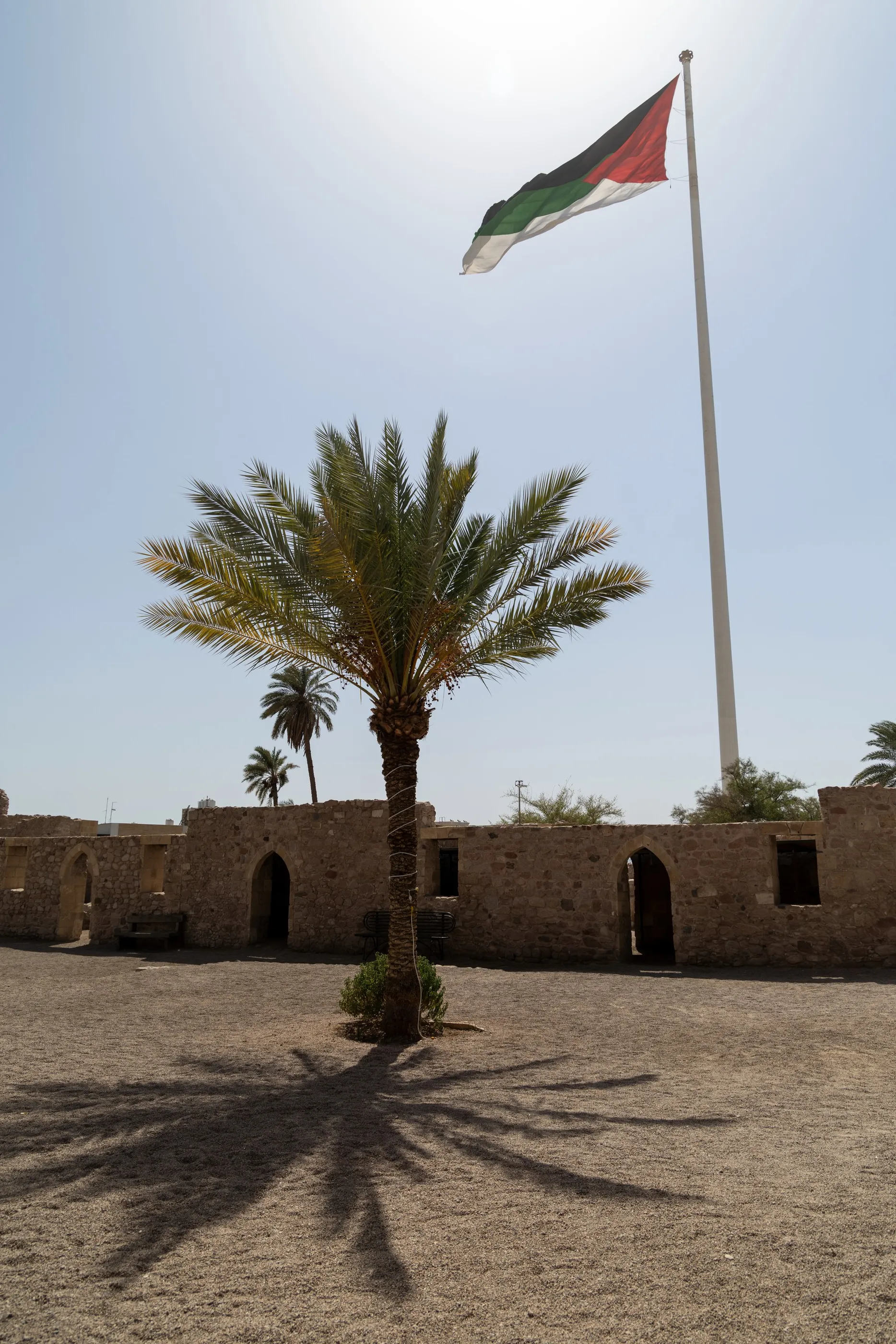
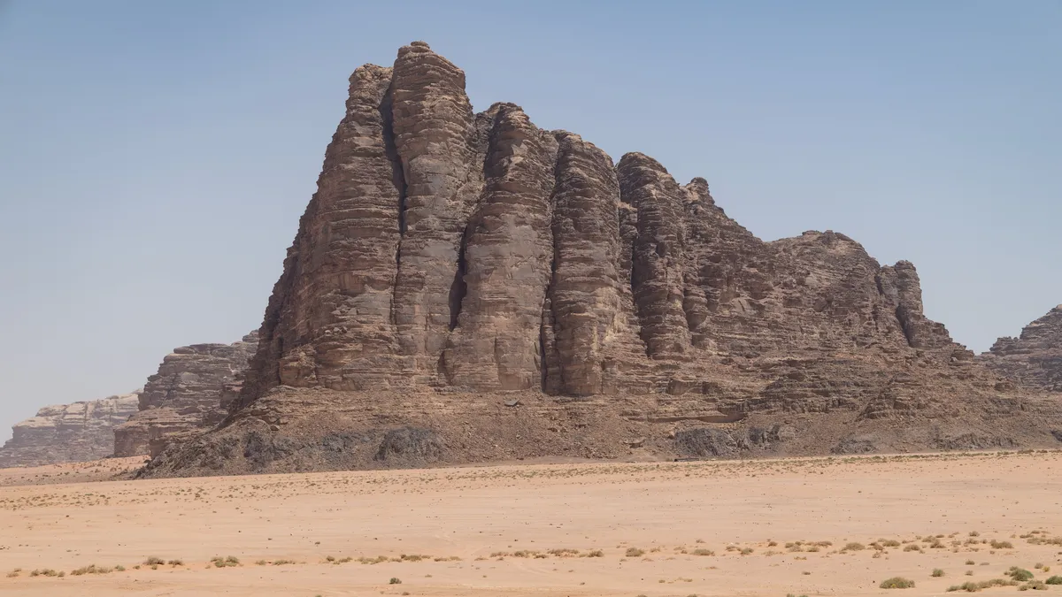
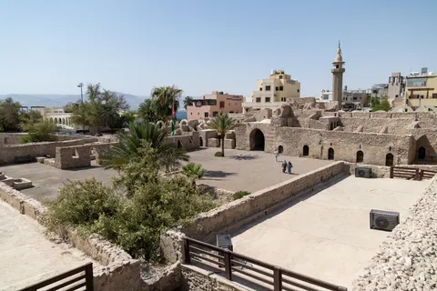
Leaving Wadi Rum, a last look at the Seven Pillars of Wisdom, the cliff named after Lawrence’s book. In Aqaba, the kingdom’s only port, the Mamluk fort of the early sixteenth century still bears the Hashemite arms: this is where the forces of the Arab Revolt entered in 1917. Across the gulf, the mountains of Sinai.


By boat↗ 149 km
Mount Sinai and St Catherine’s
Egypt
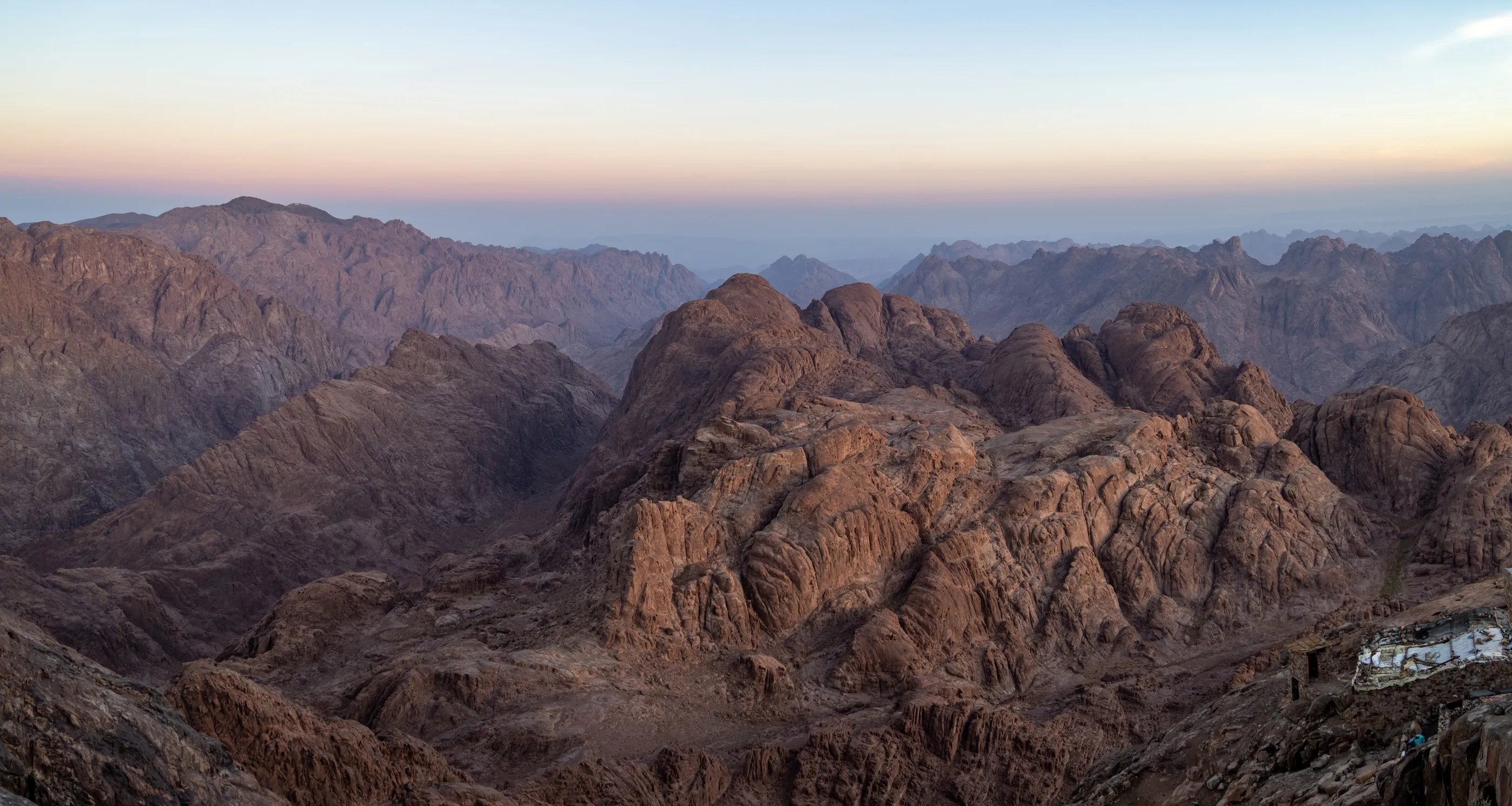
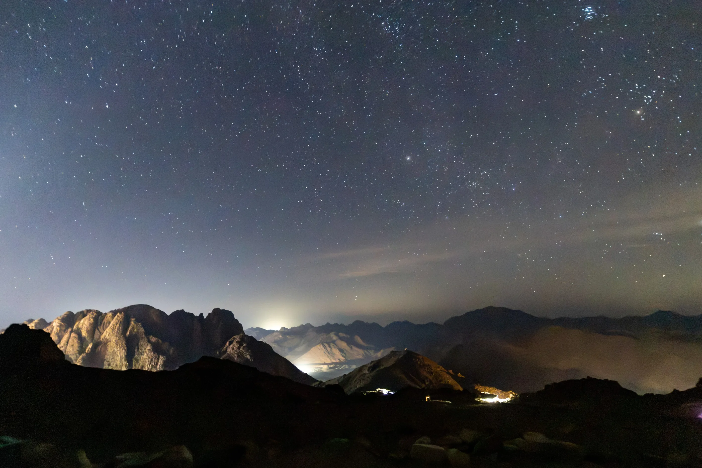
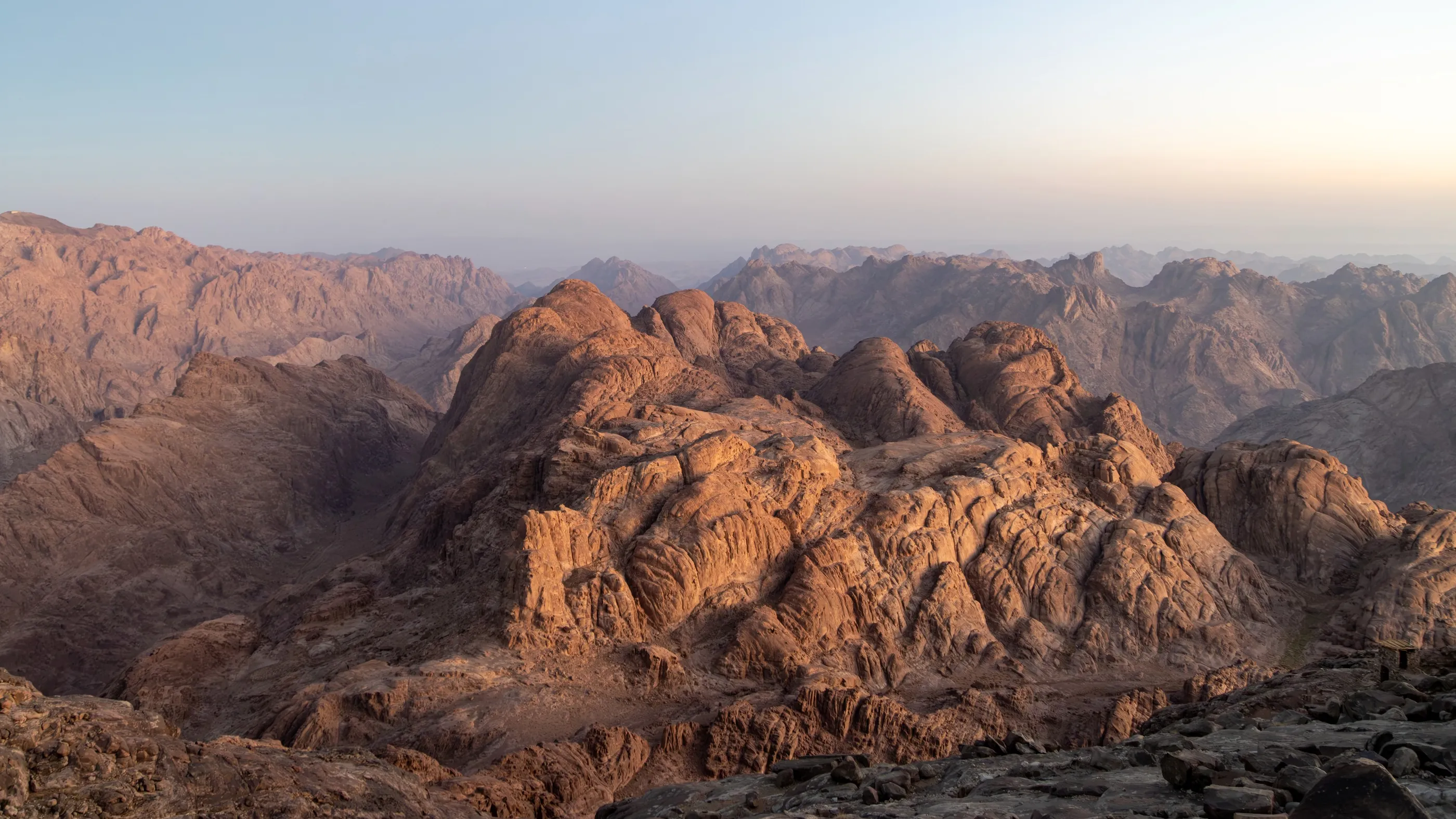
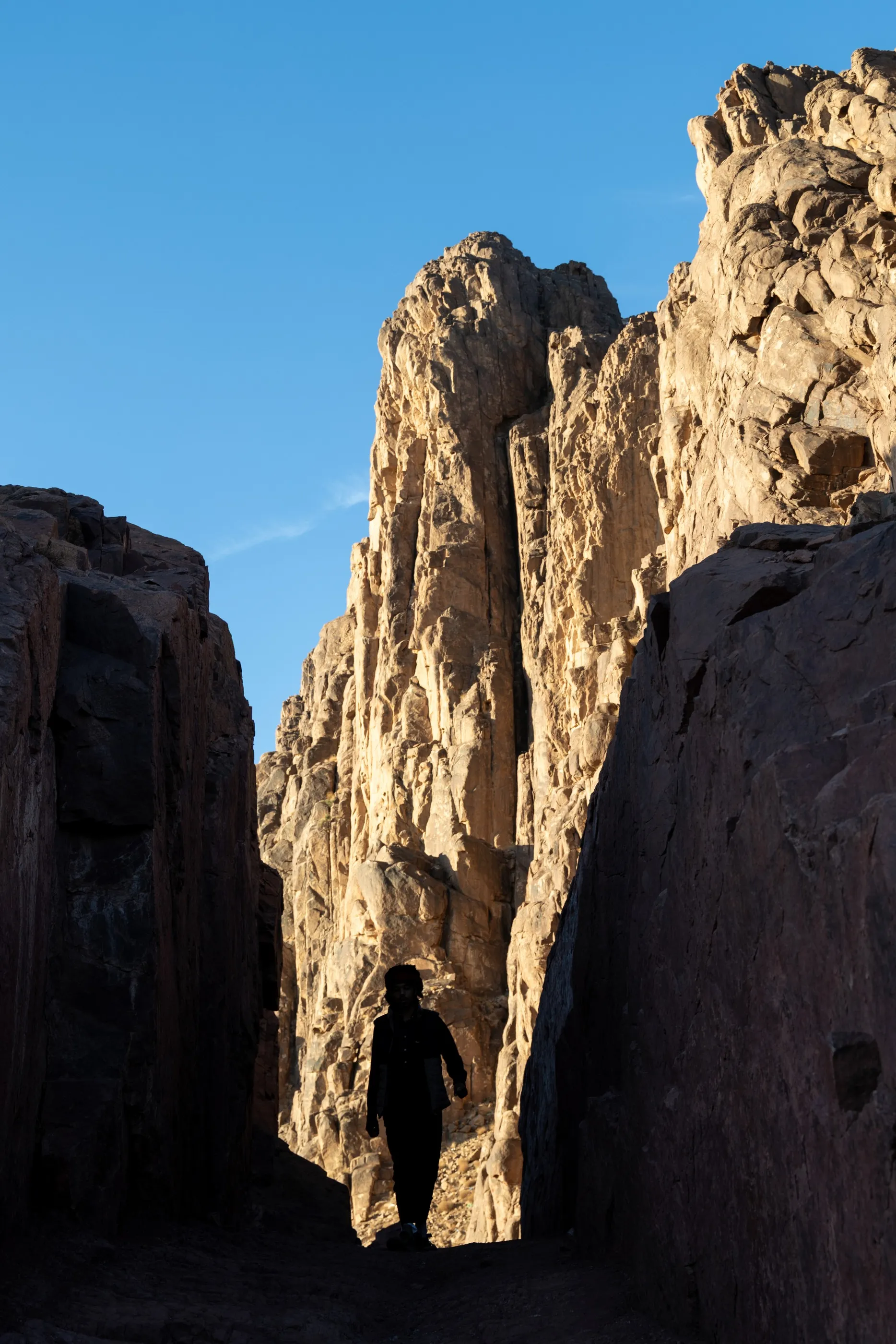
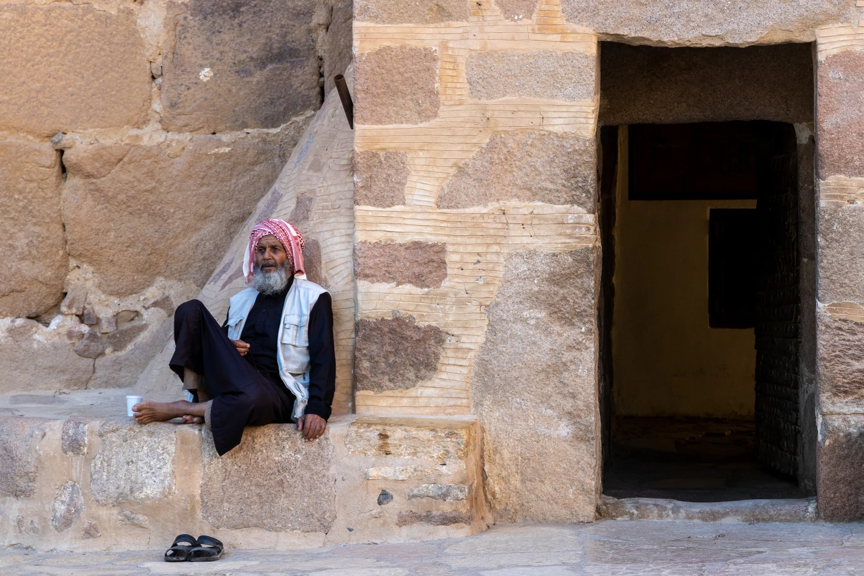
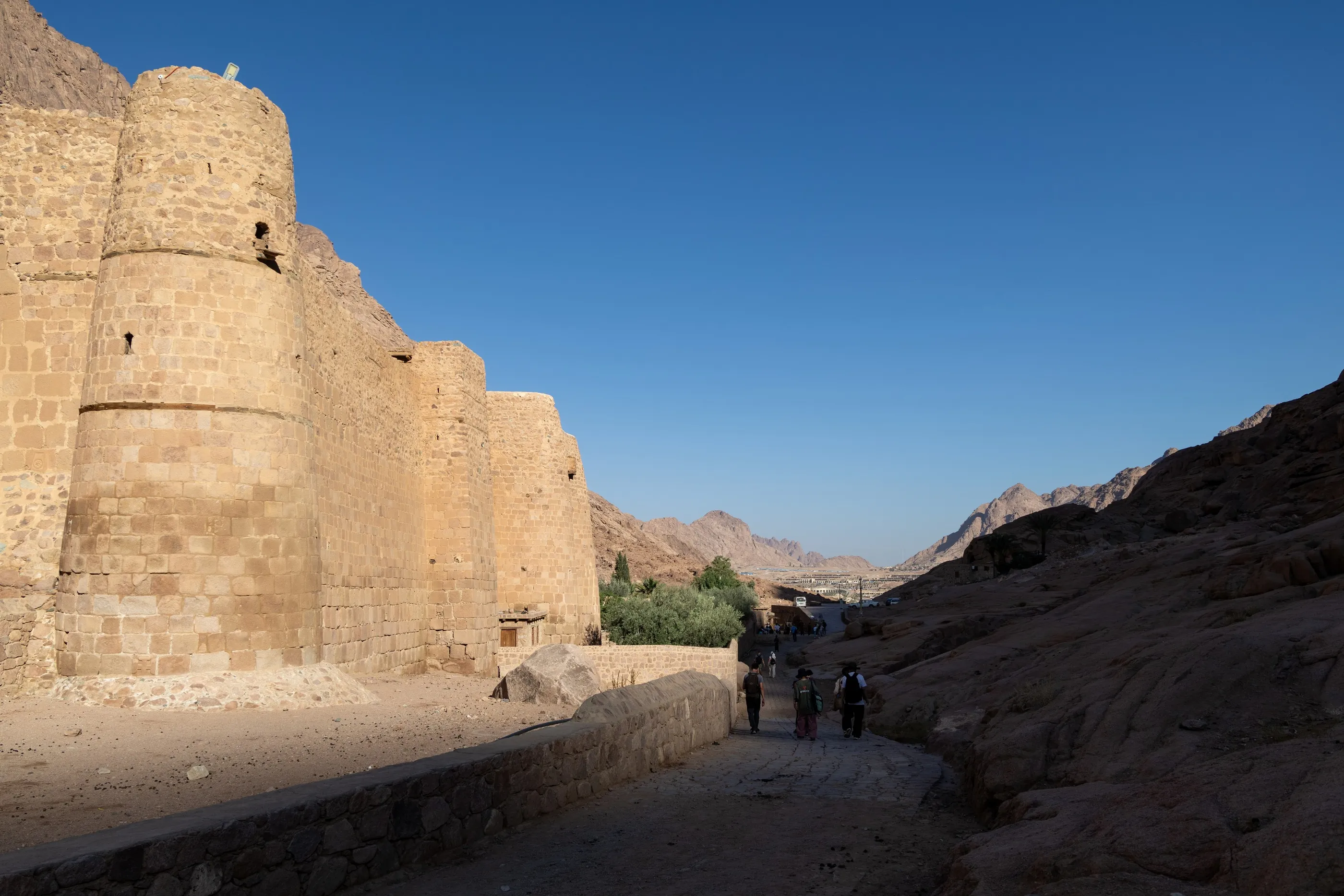
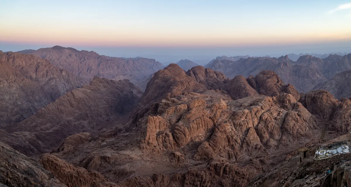
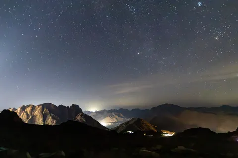
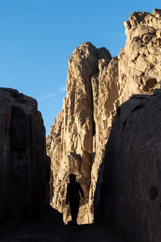
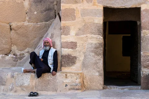
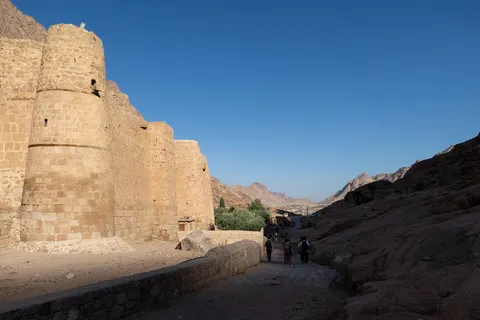
The ferry carries us across the Gulf of Aqaba to Nuweiba, in Egyptian Sinai, and the climb of Jebel Musa begins in the middle of the night, under a sky riddled with stars. At the summit, at 2,285 metres, day breaks over a chaos of pink and violet granite, where tradition places the giving of the Tablets of the Law. At the foot of the mountain, St Catherine’s Monastery, founded under Justinian in the sixth century, shelters the Burning Bush and one of the oldest Christian libraries; its Bedouin guardians doze in the shade of the doorways.



By road↗ 55 km
Dahab, the Blue Hole
Egypt
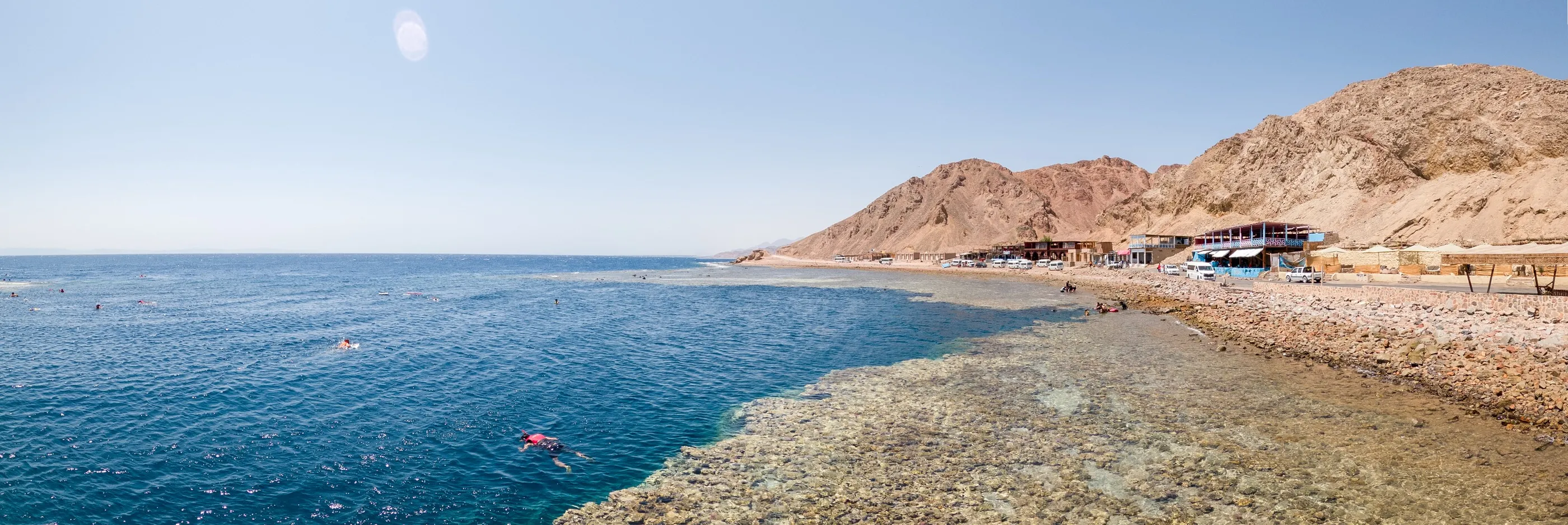
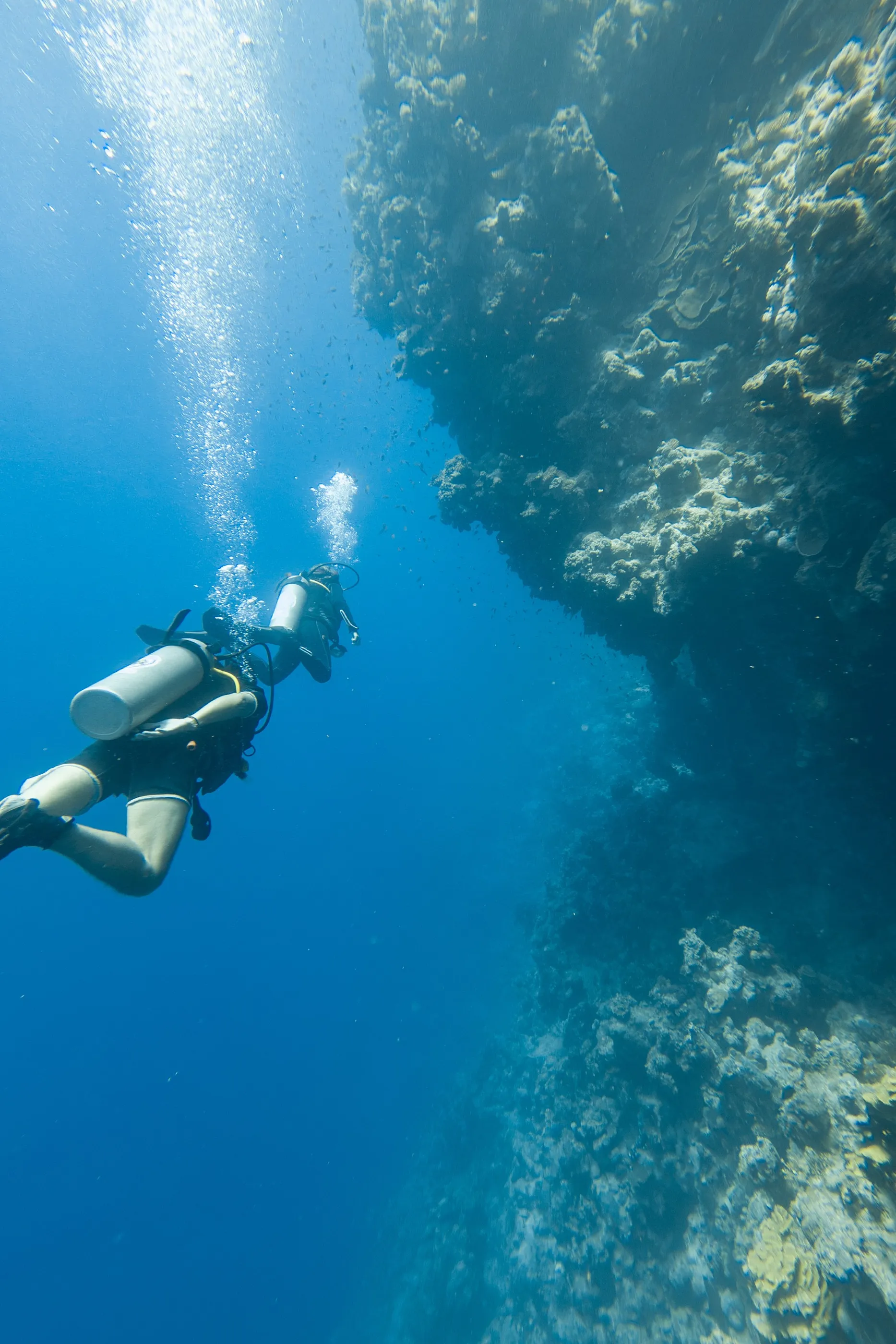
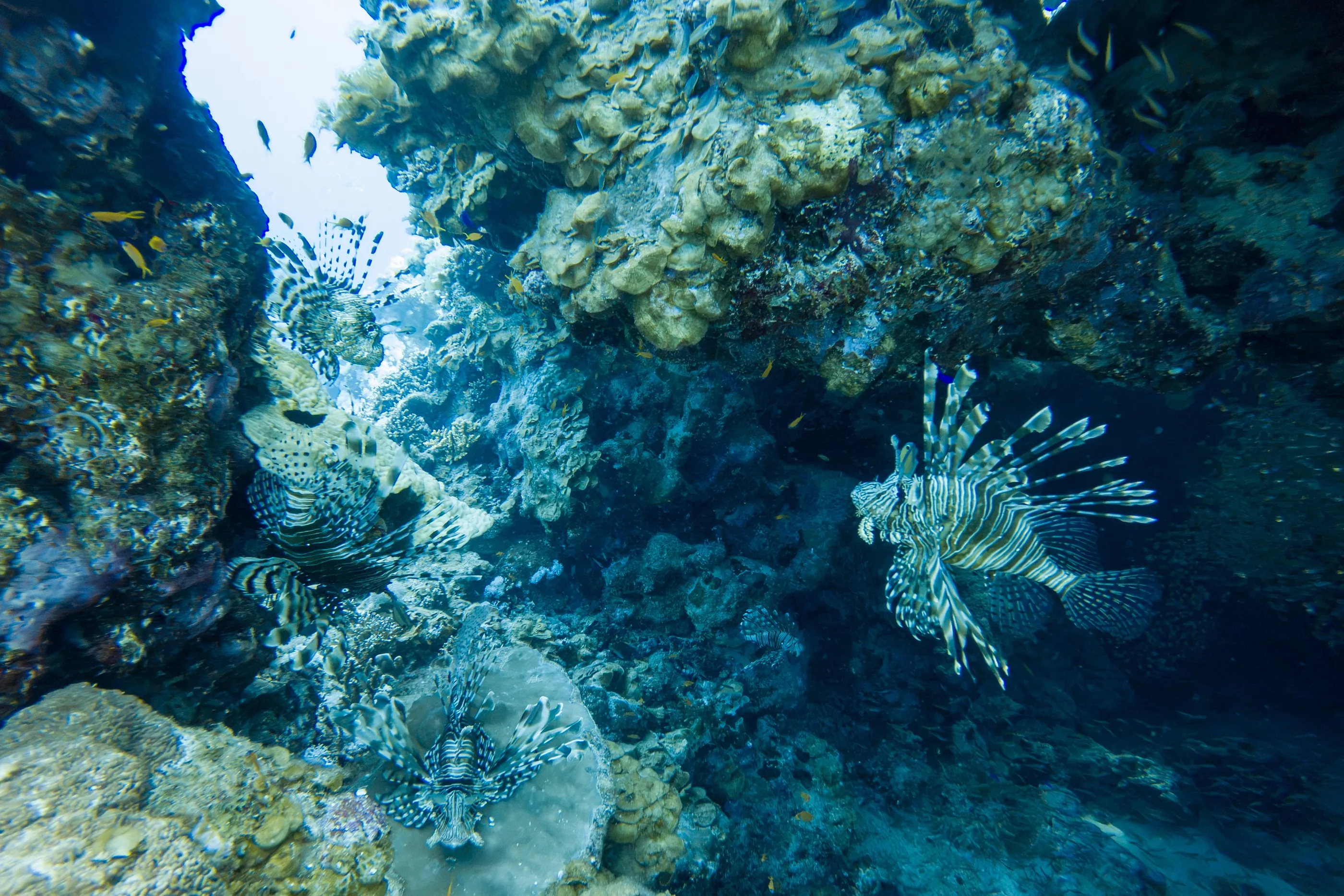
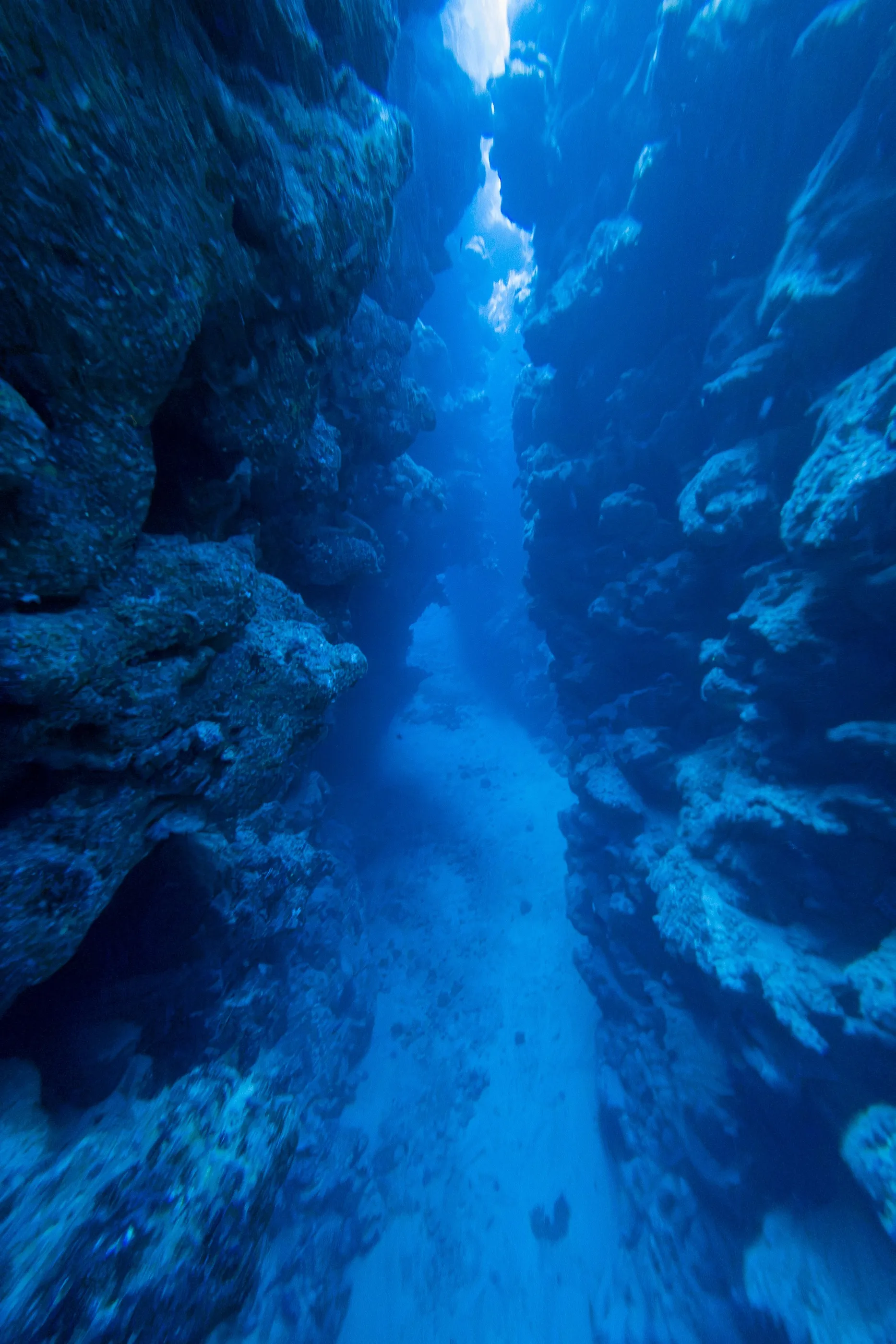
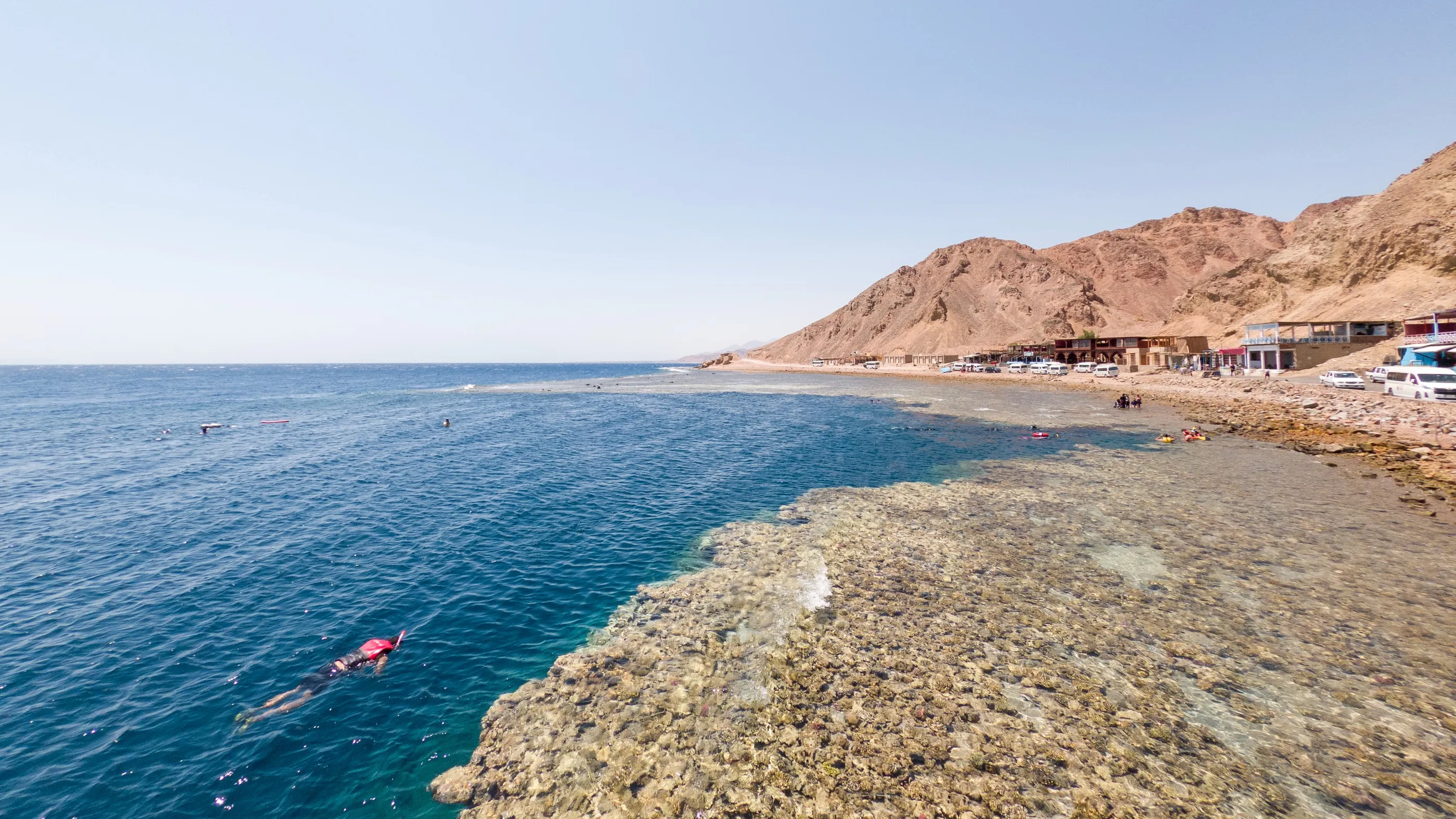
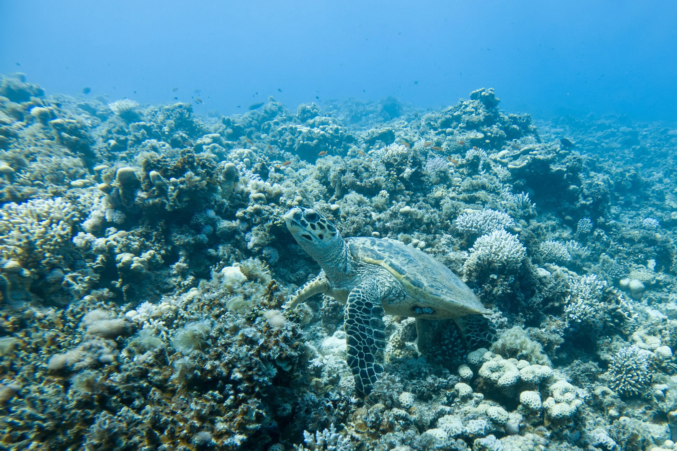
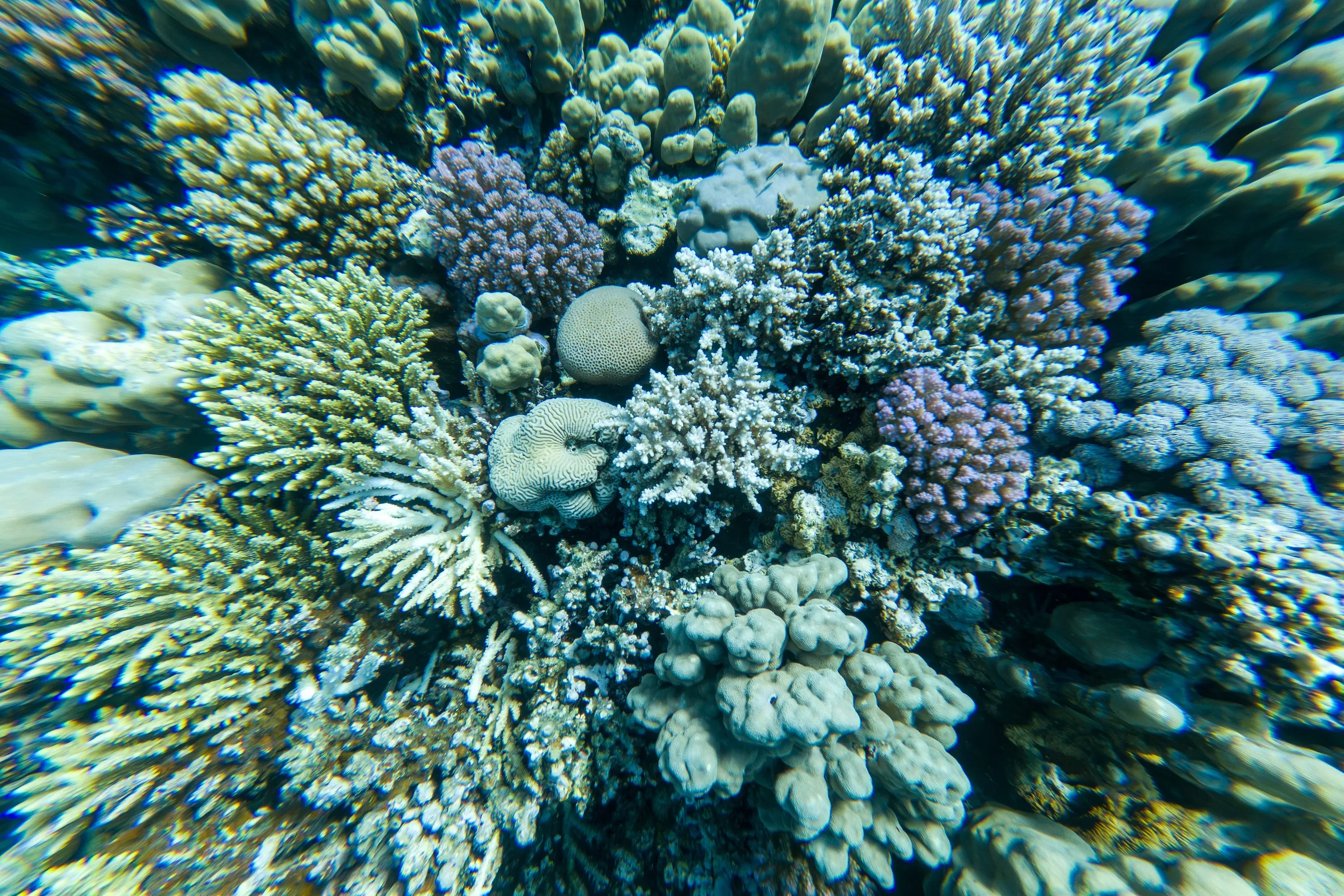
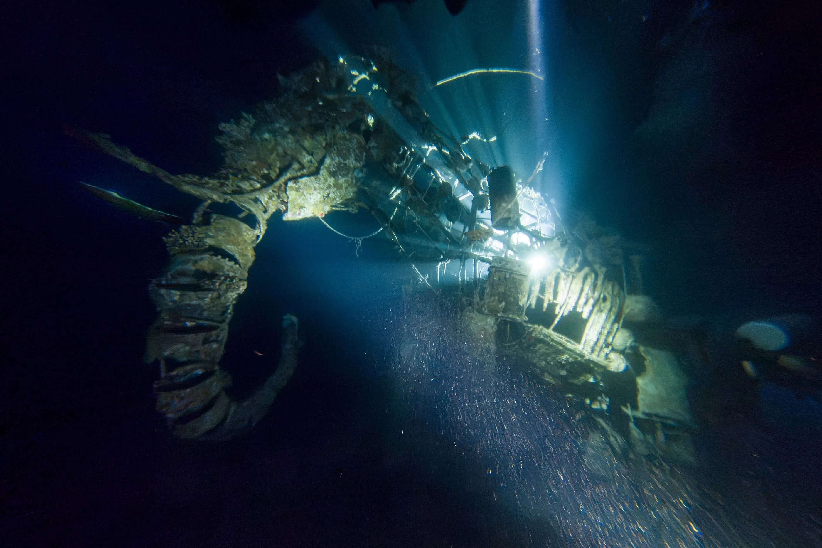
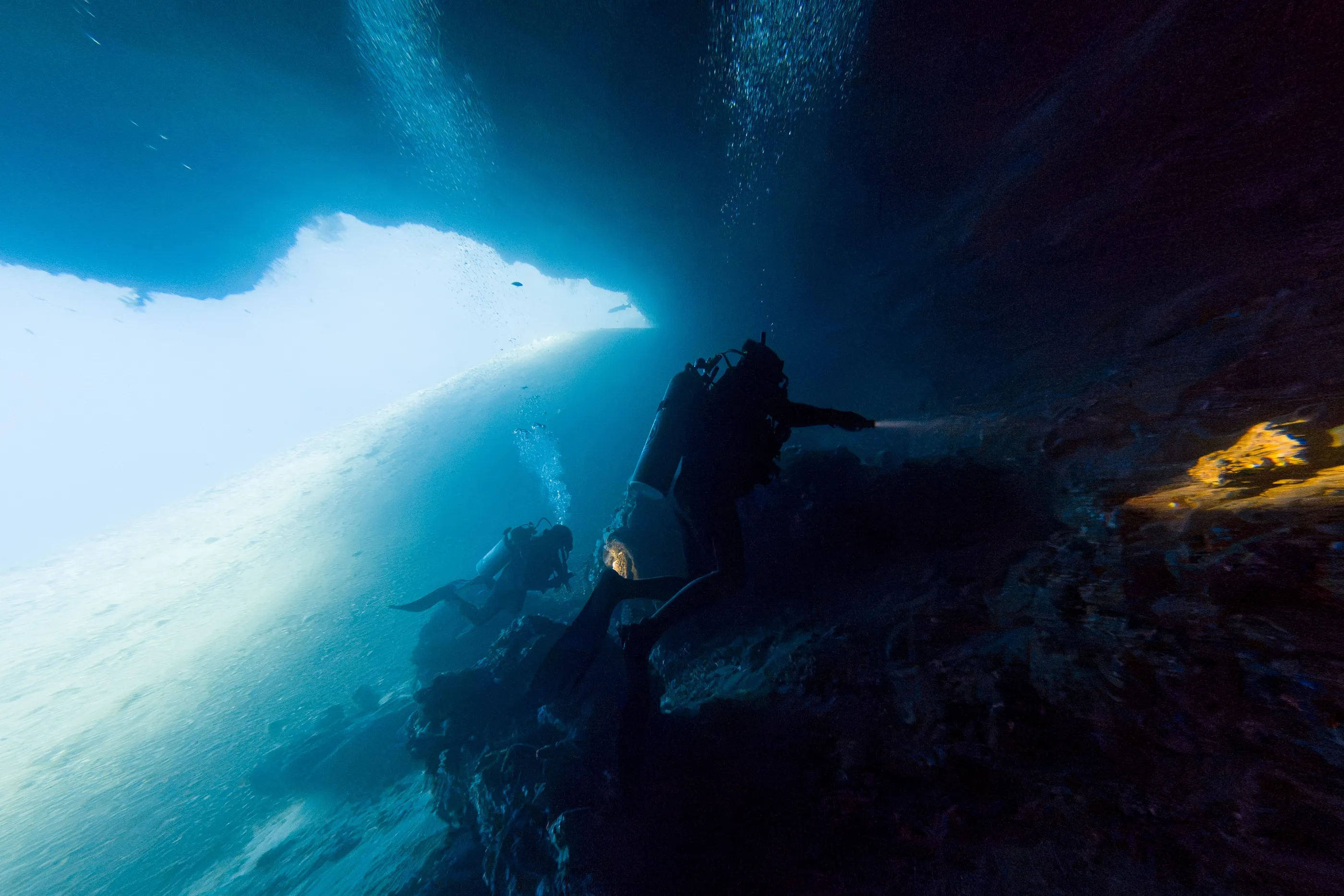
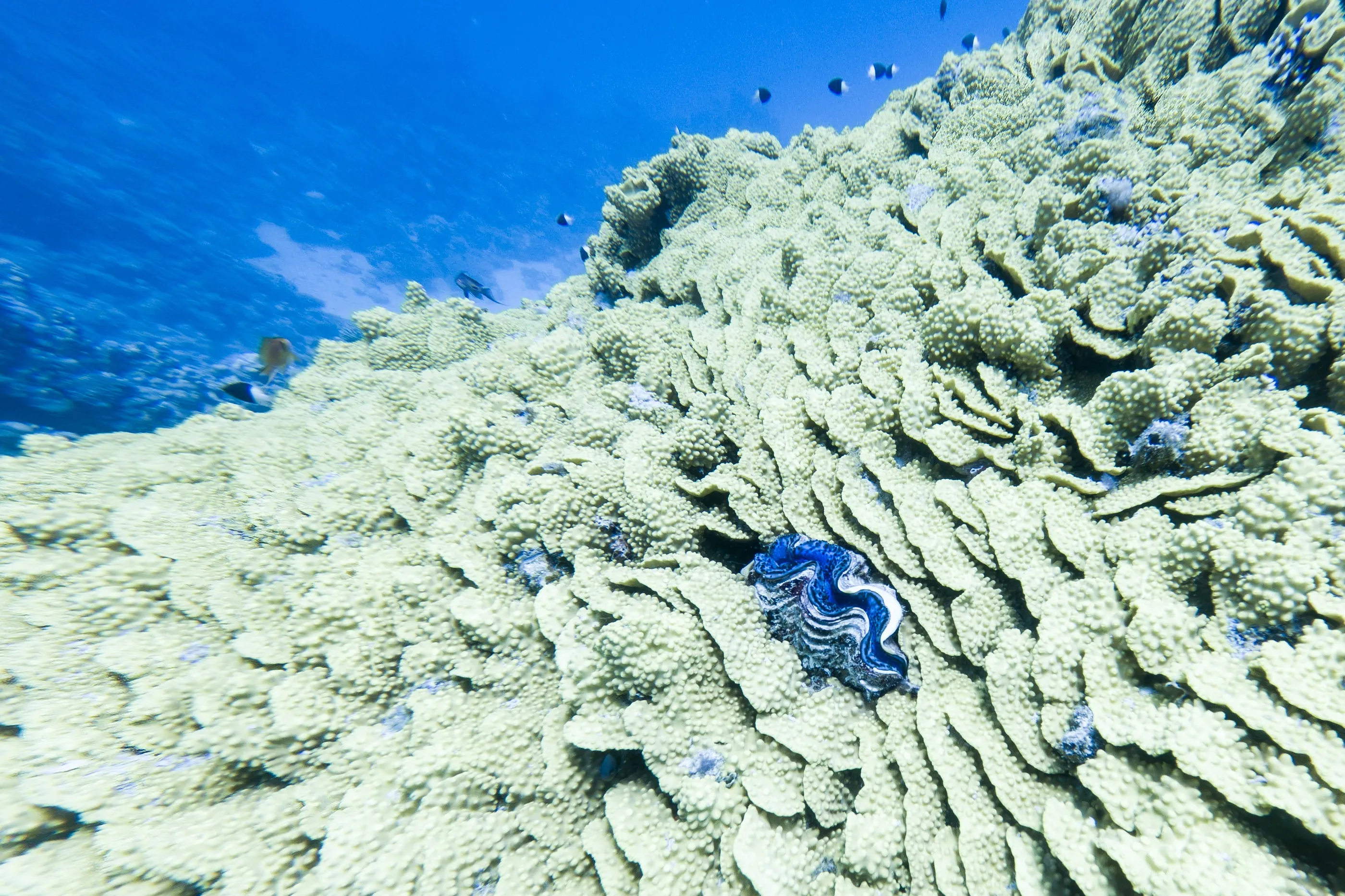
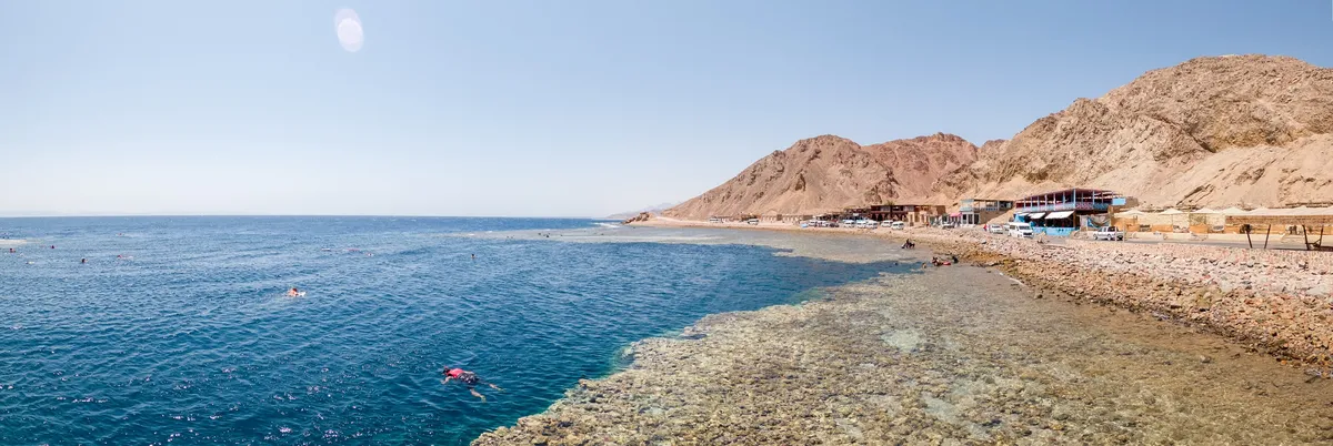
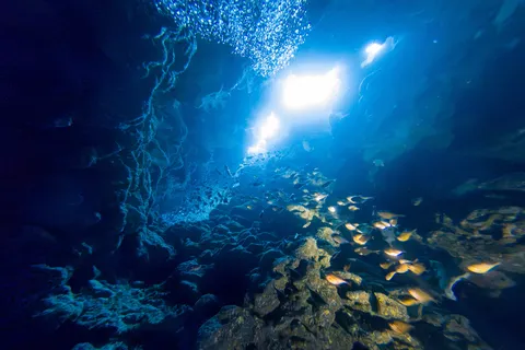
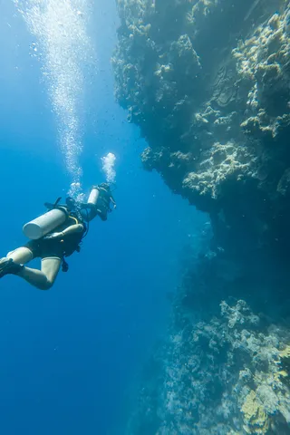
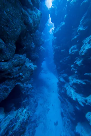
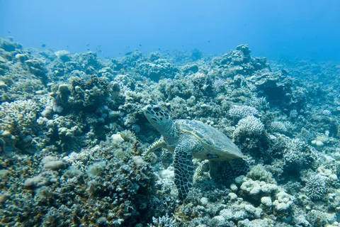
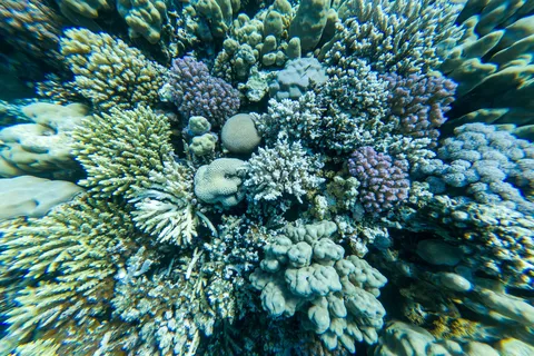
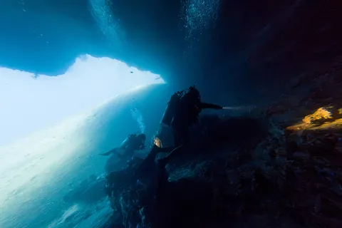
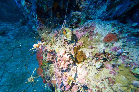
The end of the journey: in Dahab, the desert falls straight into the Red Sea. North of town, near the Blue Hole, we dive from the shore, along walls covered in coral and clouds of orange anthias. Crevices and caves filter shafts of light in which schools of glassfish swirl; a lionfish hides in a crack in the reef.




By road↗ 9 km
Dahab, beneath the Red Sea
Egypt
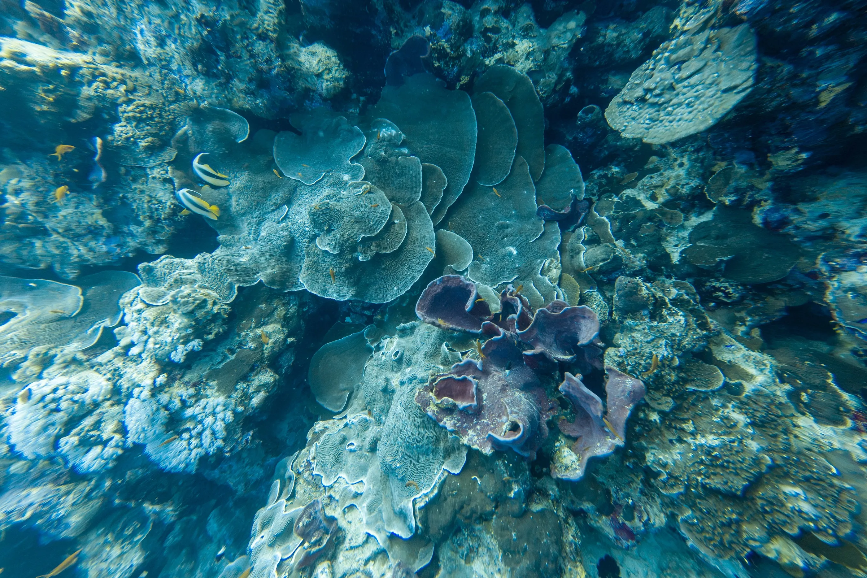
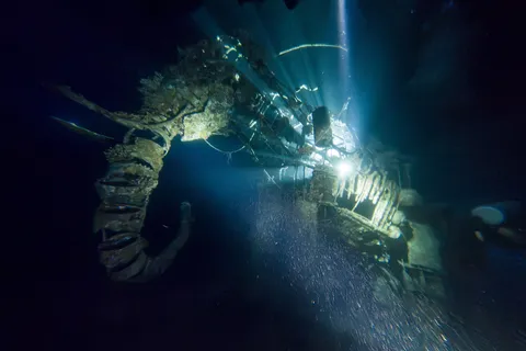
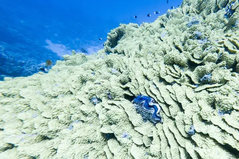
The last days are spent underwater. A green turtle grazes on the reef, a blue-spotted stingray rests on the sand, and at night, by torchlight, the reef changes face. On the morning of departure, a garden of hard corals of astonishing density, and a school of fish shimmering in the blue — after the stone deserts, the Red Sea.


Arrival
End of the journey
19 days · 891 km · 19 stops
Galleries of the countries crossed