In Search of the Maya
Tracing the Maya cities, from the Yucatán to Copán
February 2006 – April 2019
- years
- 2006–2019
- km
- 3,033
- countries
- 5Mexico · Guatemala · Belize · El Salvador · Honduras
- photos
- 152
This expedition follows the thread of my relationship with the Maya world, over thirteen years. It began in February 2006 with a first trip to Mexico, before my studies: from Teotihuacan to Palenque, from the Puuc cities of the Yucatán to Chichén Itzá and Tulum. That is where the wish to make it my field was born.
Then came the years of my Master’s in Maya archaeology at Université Paris I. In 2011, a second journey, from Calakmul to Bonampak and Yaxchilán; in 2013, the excavation season at Naachtun, in northern Petén, as part of the French-Guatemalan project — the subject of my second thesis — followed by Tikal, Nakum, Yaxhá and the cities of Belize. Finally, in 2019, the south-eastern fringes: Joya de Cerén, Tazumal and Copán. Each step is a site; where I returned, photos from the different years are mixed together.
Teotihuacan
Mexico
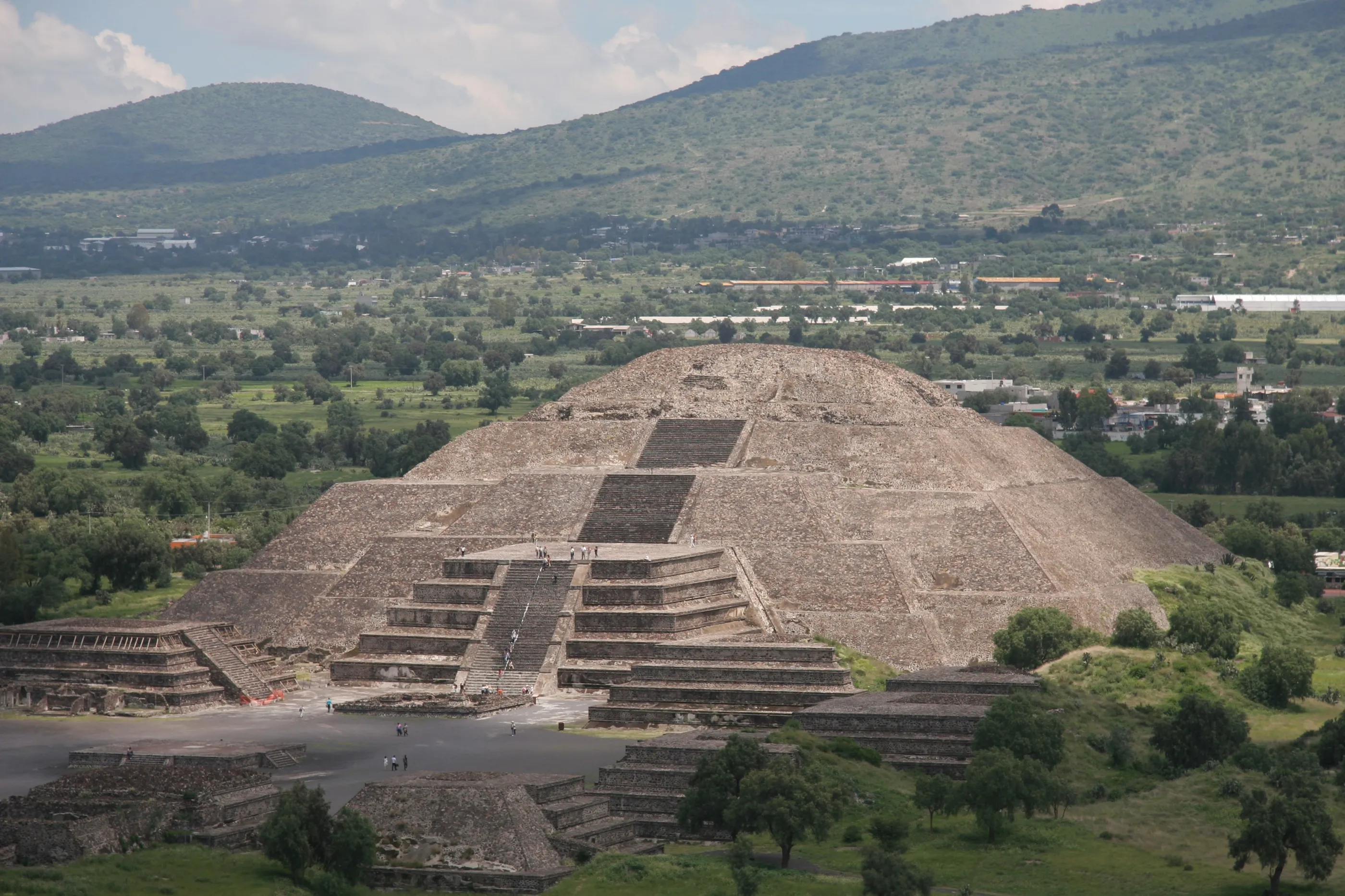
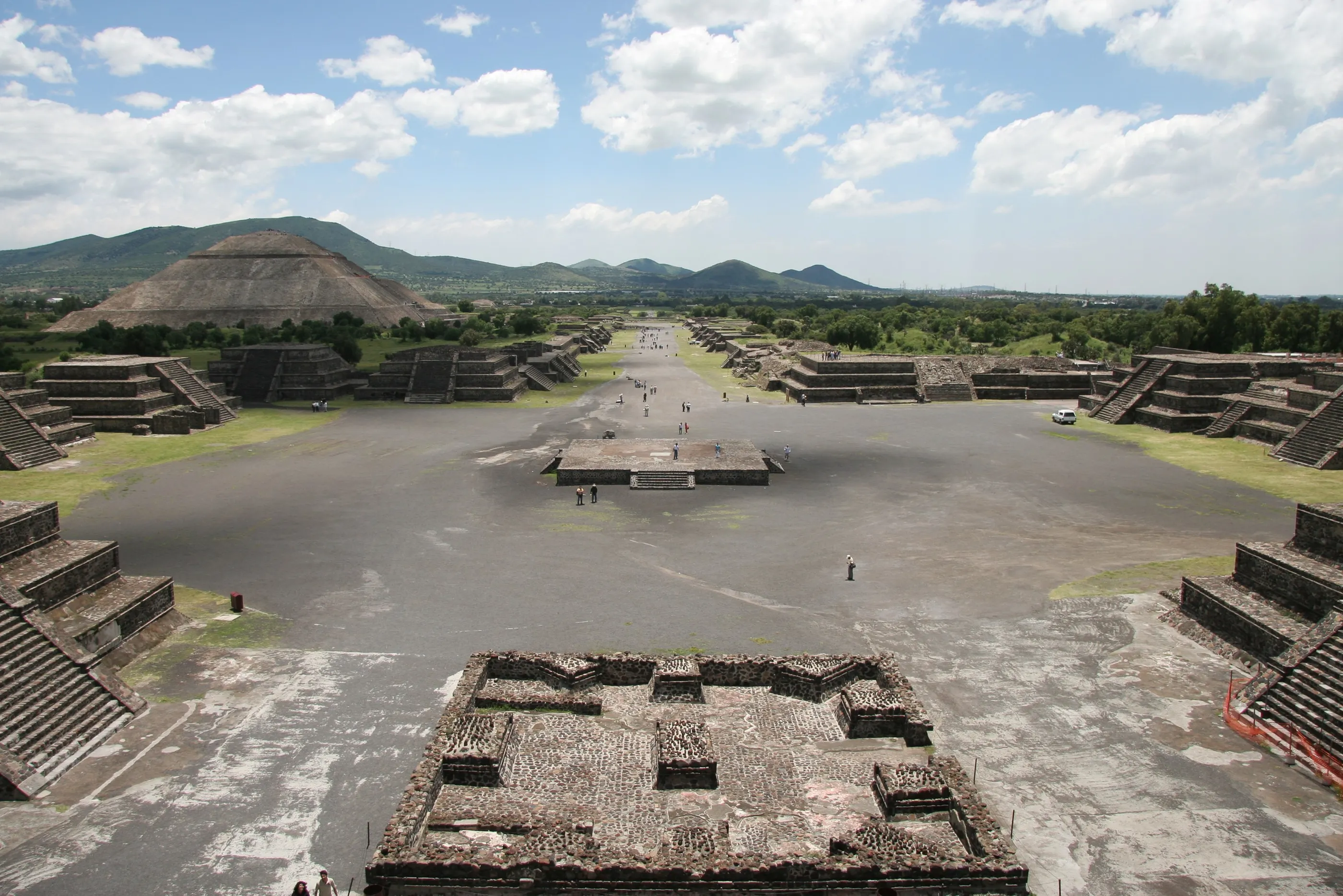
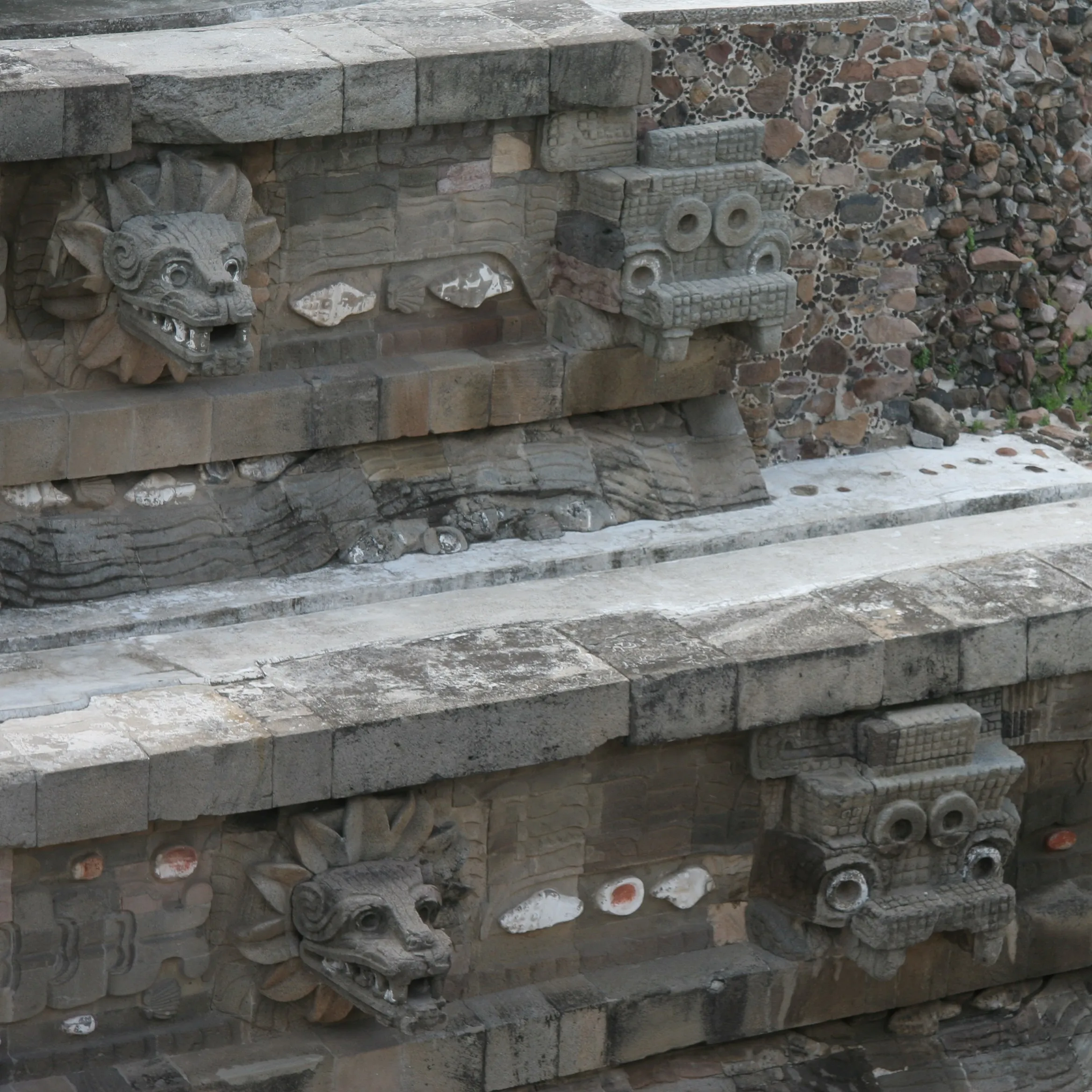
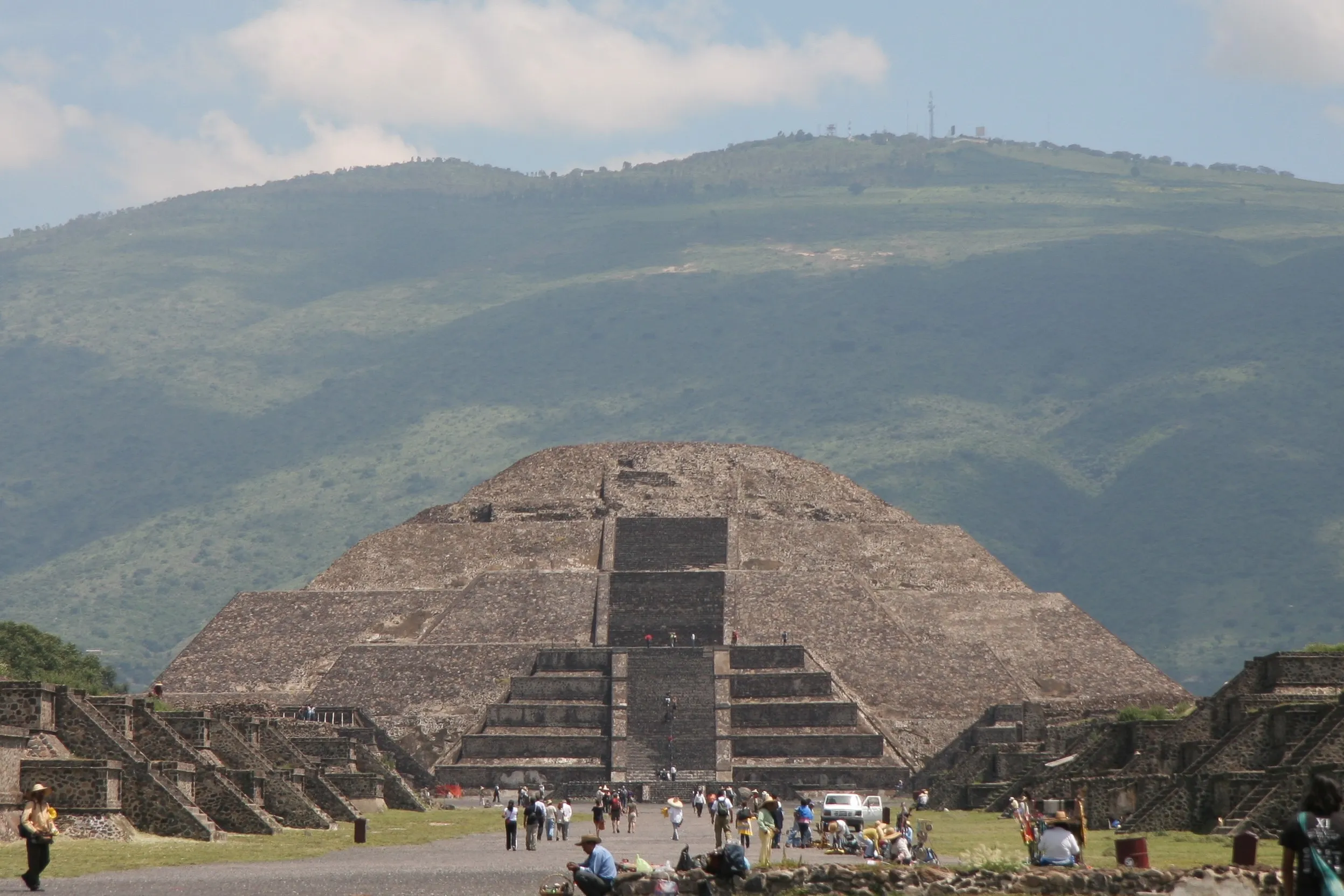
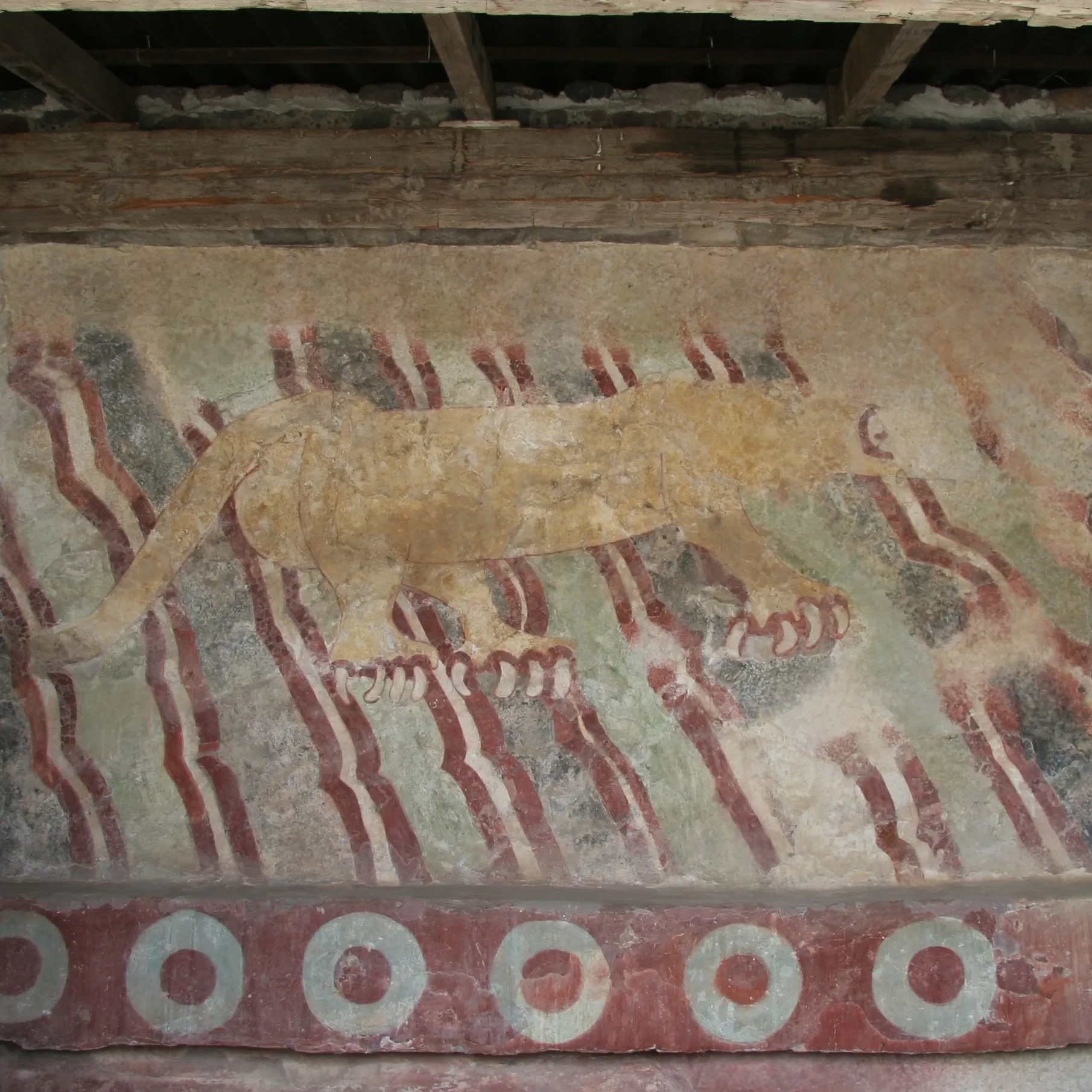
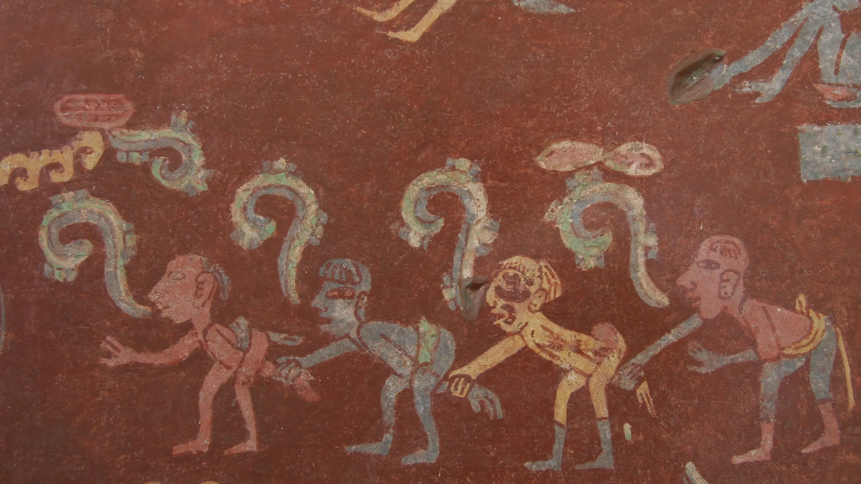
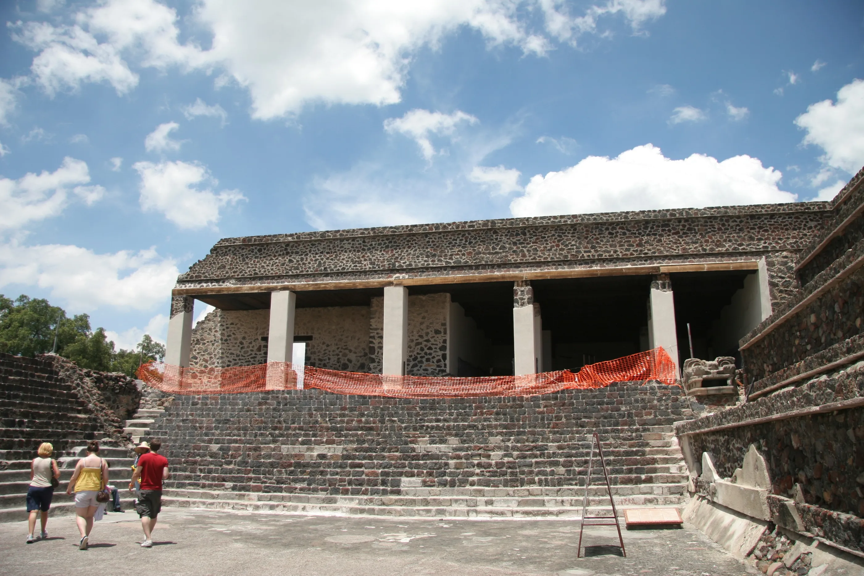
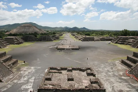
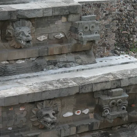
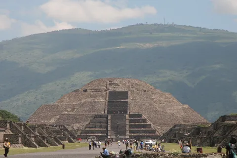
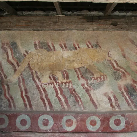
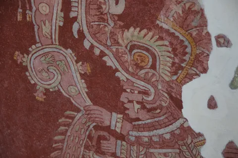
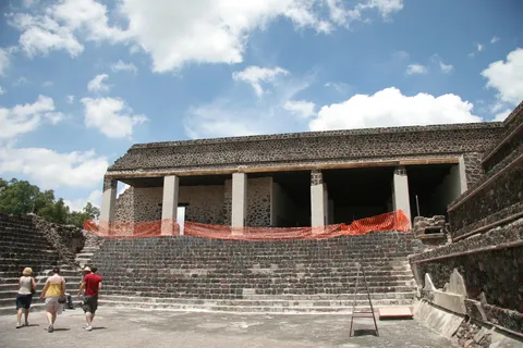
Teotihuacan is not a Maya city, yet its shadow hangs over the whole Classic period: in 378, the arrival at Tikal of one Siyaj K’ahk’, linked to the great metropolis of central Mexico, upended the local dynasty and the balance of power in the Petén. I came here on my very first trip in 2006, and again in 2011, each time after the Aztec Templo Mayor in Mexico City. From the Pyramid of the Moon, the Avenue of the Dead runs towards the Pyramid of the Sun; the feathered-serpent heads of the Temple of Quetzalcoatl and the red palace murals speak of a city whose influence reached as far as the Petén.

By road↗ 757 km
Palenque, Chiapas
Mexico
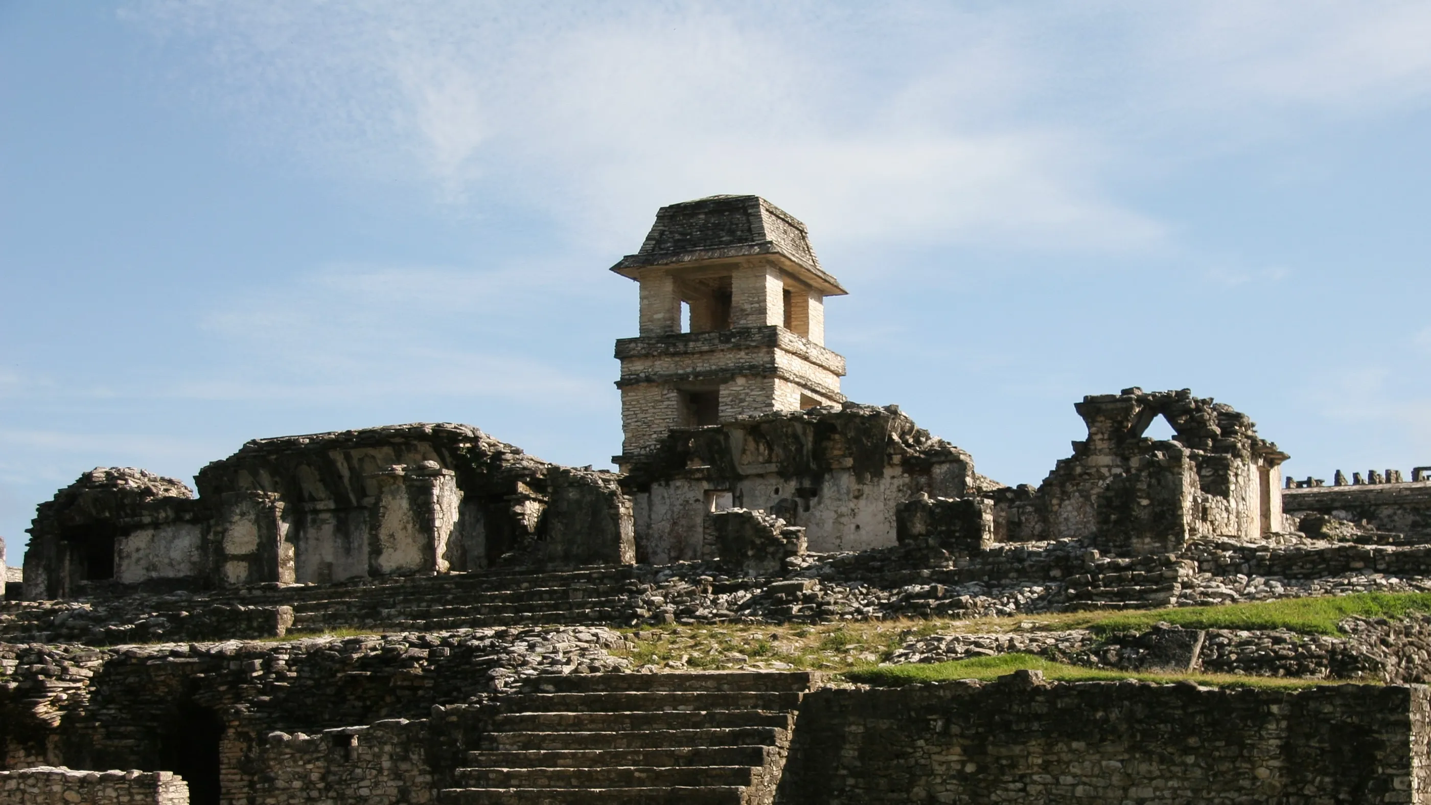
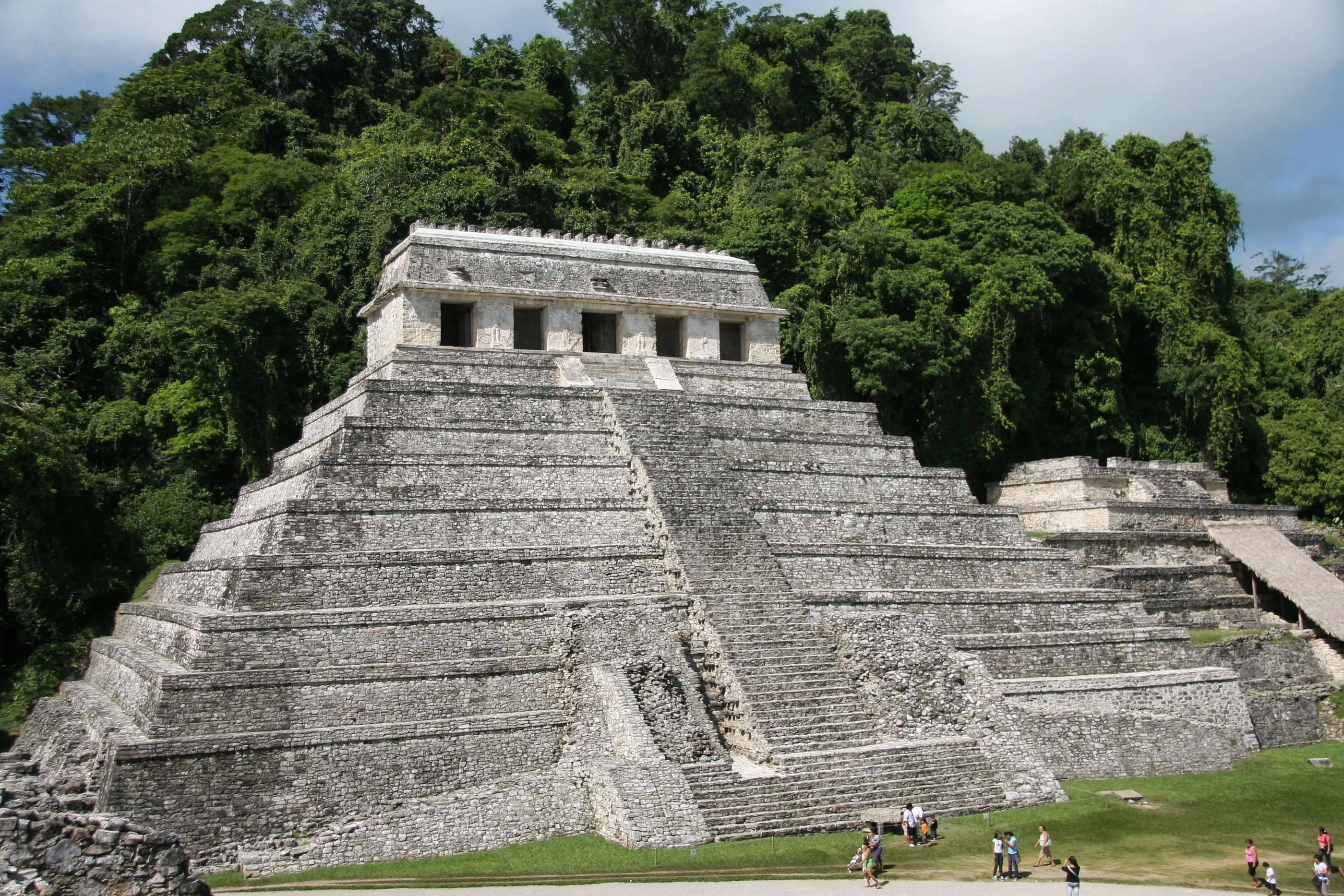
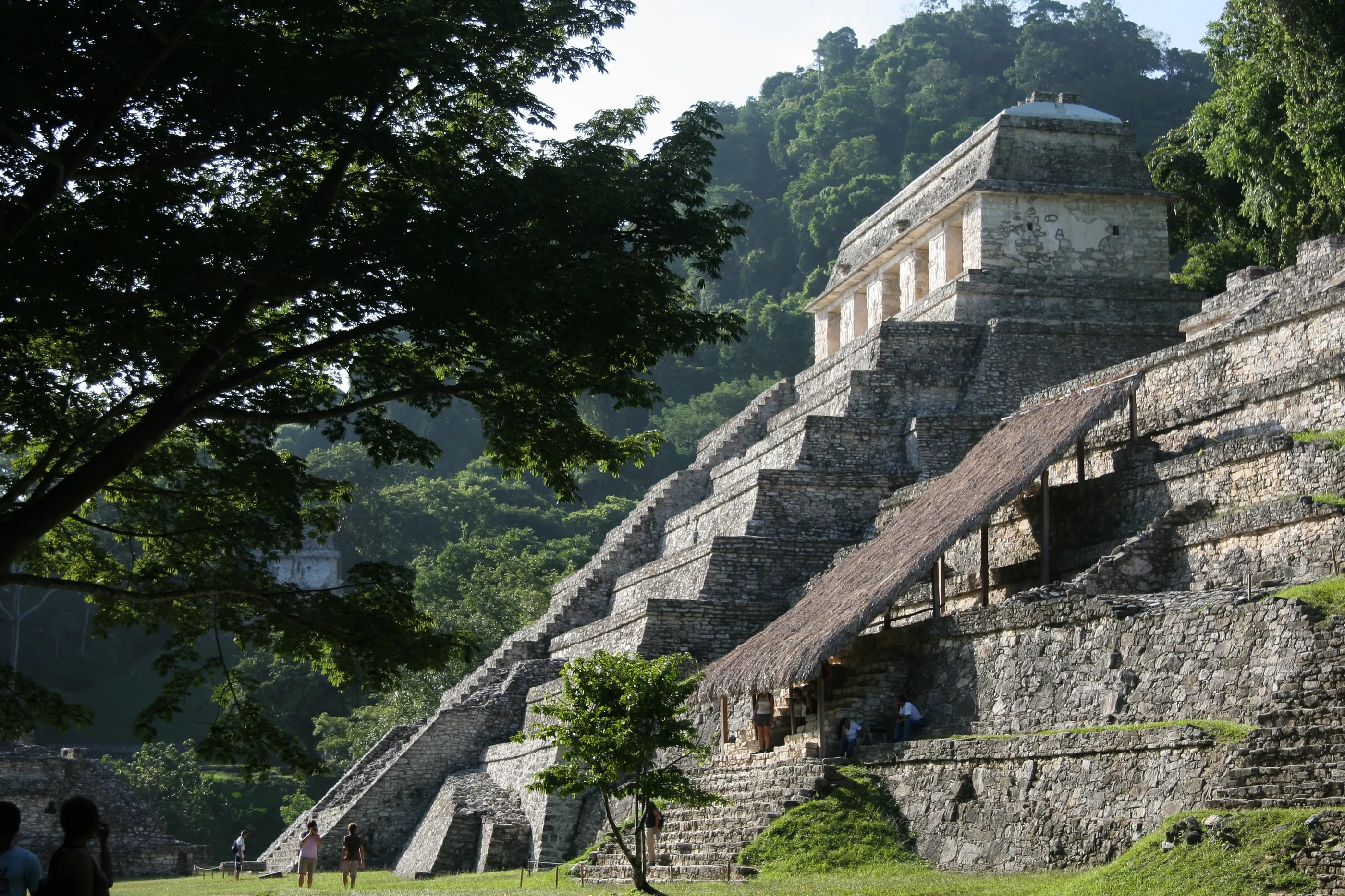
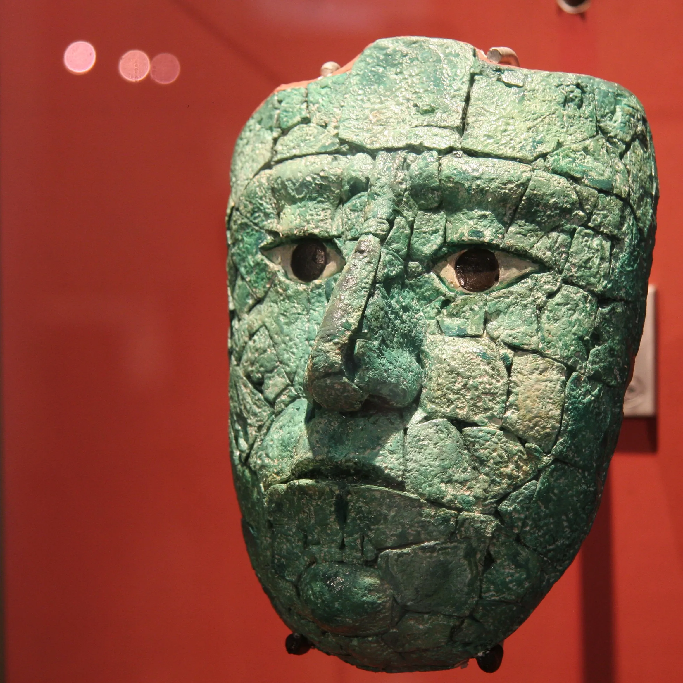
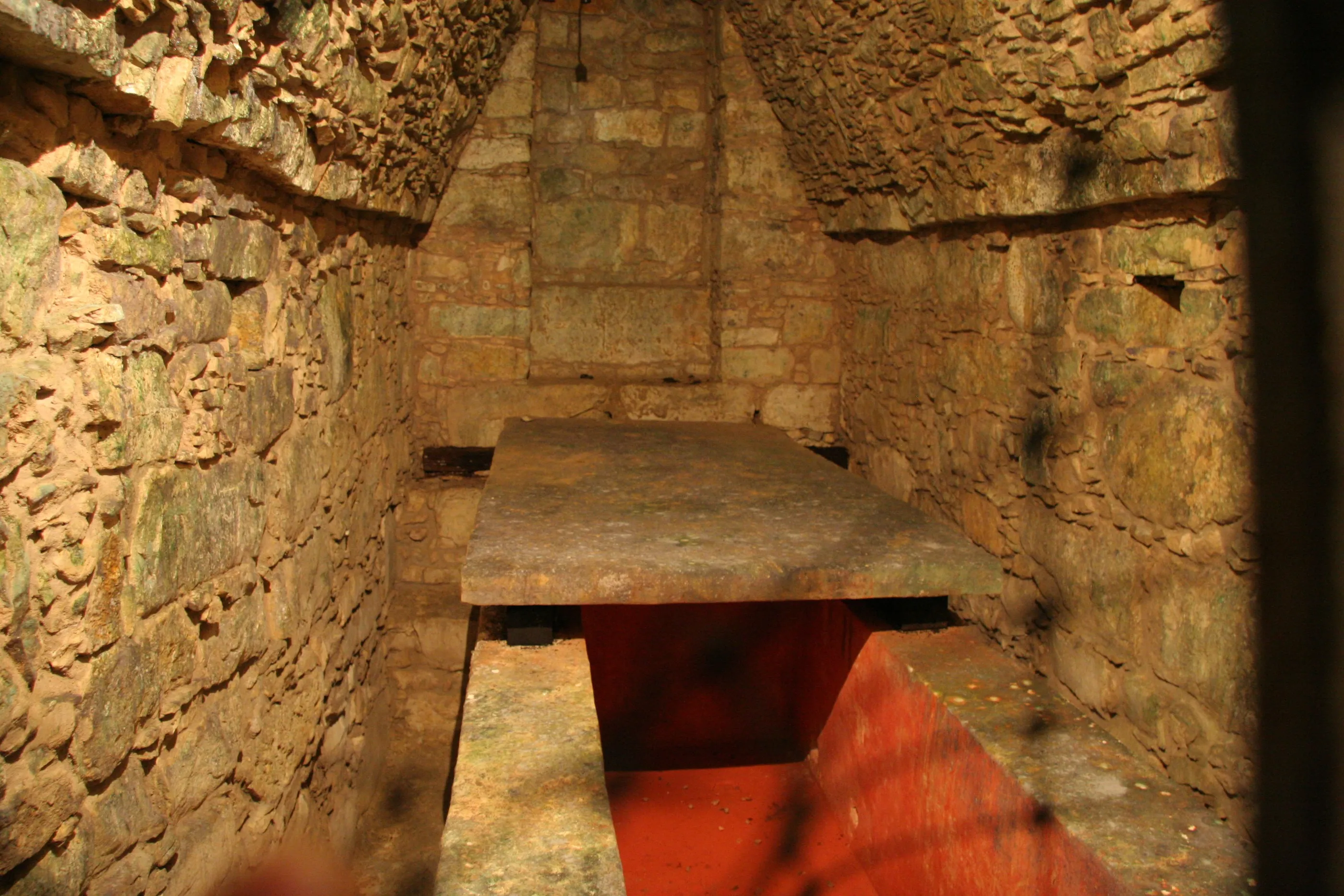
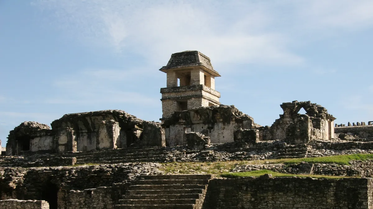
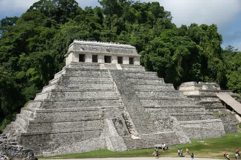
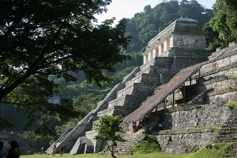
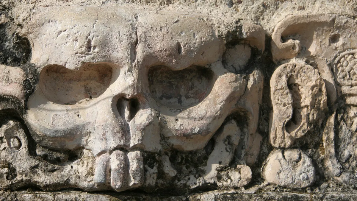
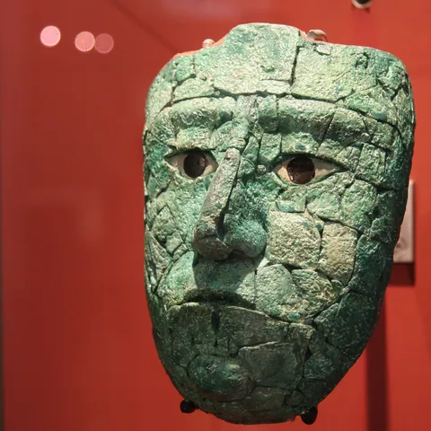
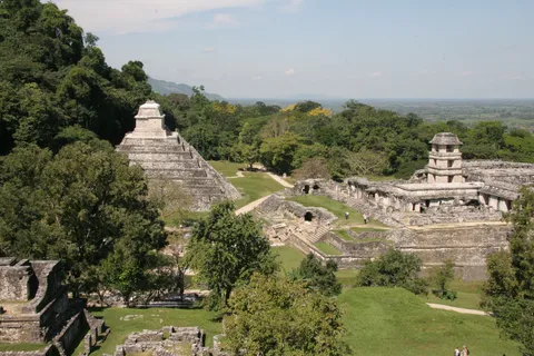
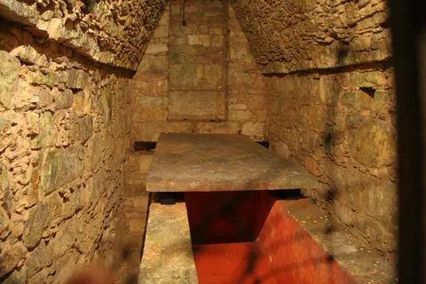
Set against the first foothills of Chiapas, Palenque — Lakamha’ to its inhabitants — reached its peak in the 7th century under K’inich Janaab Pakal. His tomb, found in 1952 by Alberto Ruz deep inside the Temple of the Inscriptions, remains one of the great discoveries of Maya archaeology; the crypt, closed to visitors, jealously keeps the carved lid of its sarcophagus. I returned in 2011, after the Misol-Ha falls: the Palace and its tower, the temples of the Cross Group, the finesse of the stucco and inscriptions — for an archaeology student, an open-air textbook.
By road↗ 396 km
Labná, Yucatán
Mexico
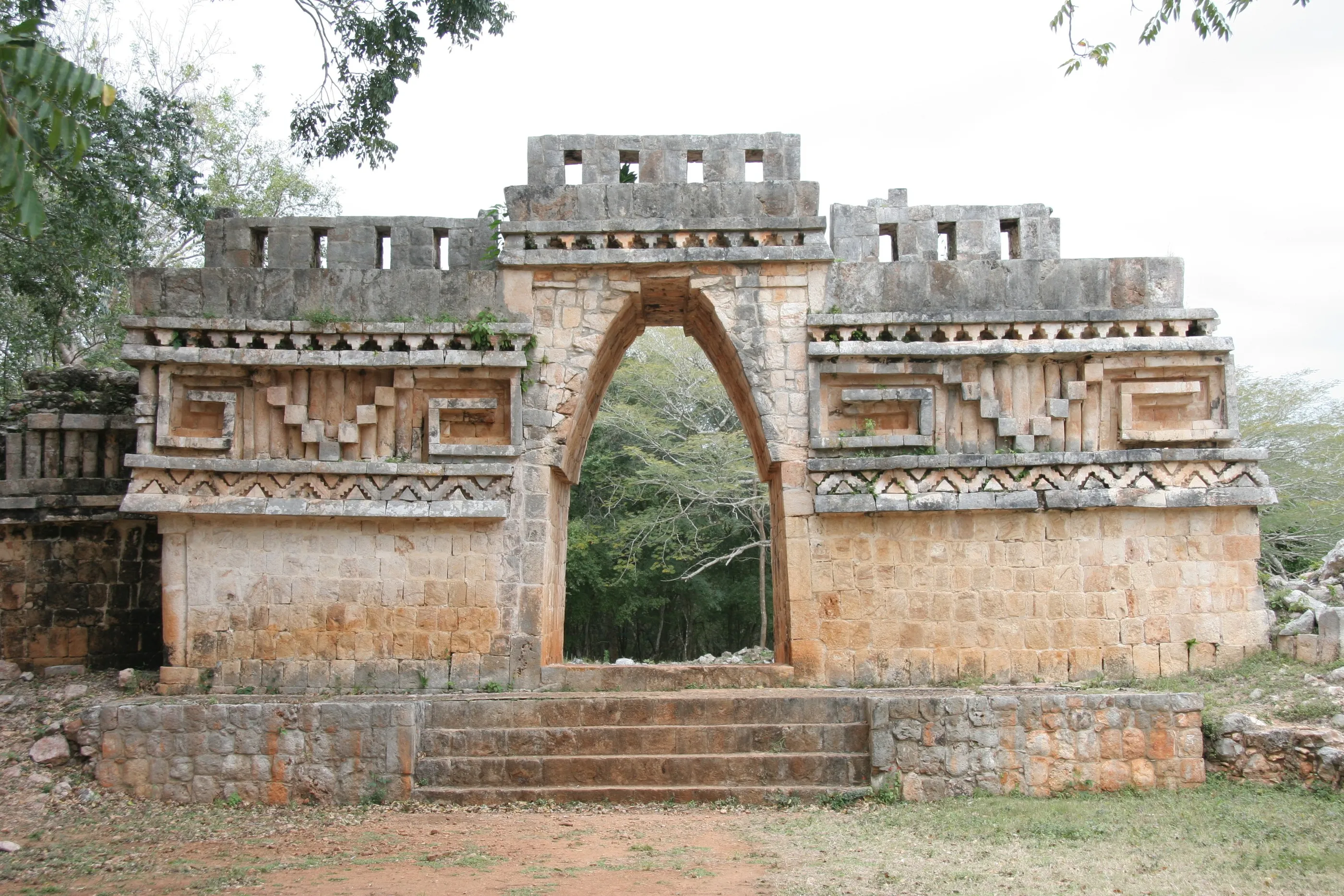
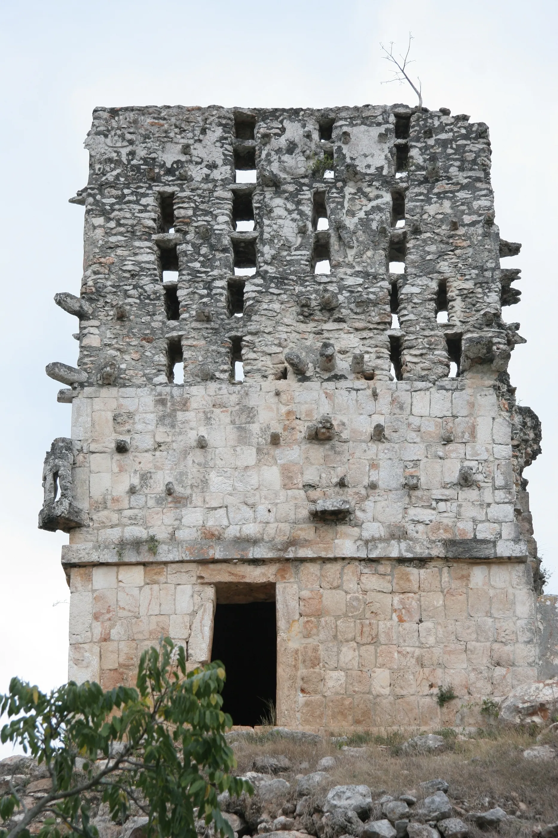
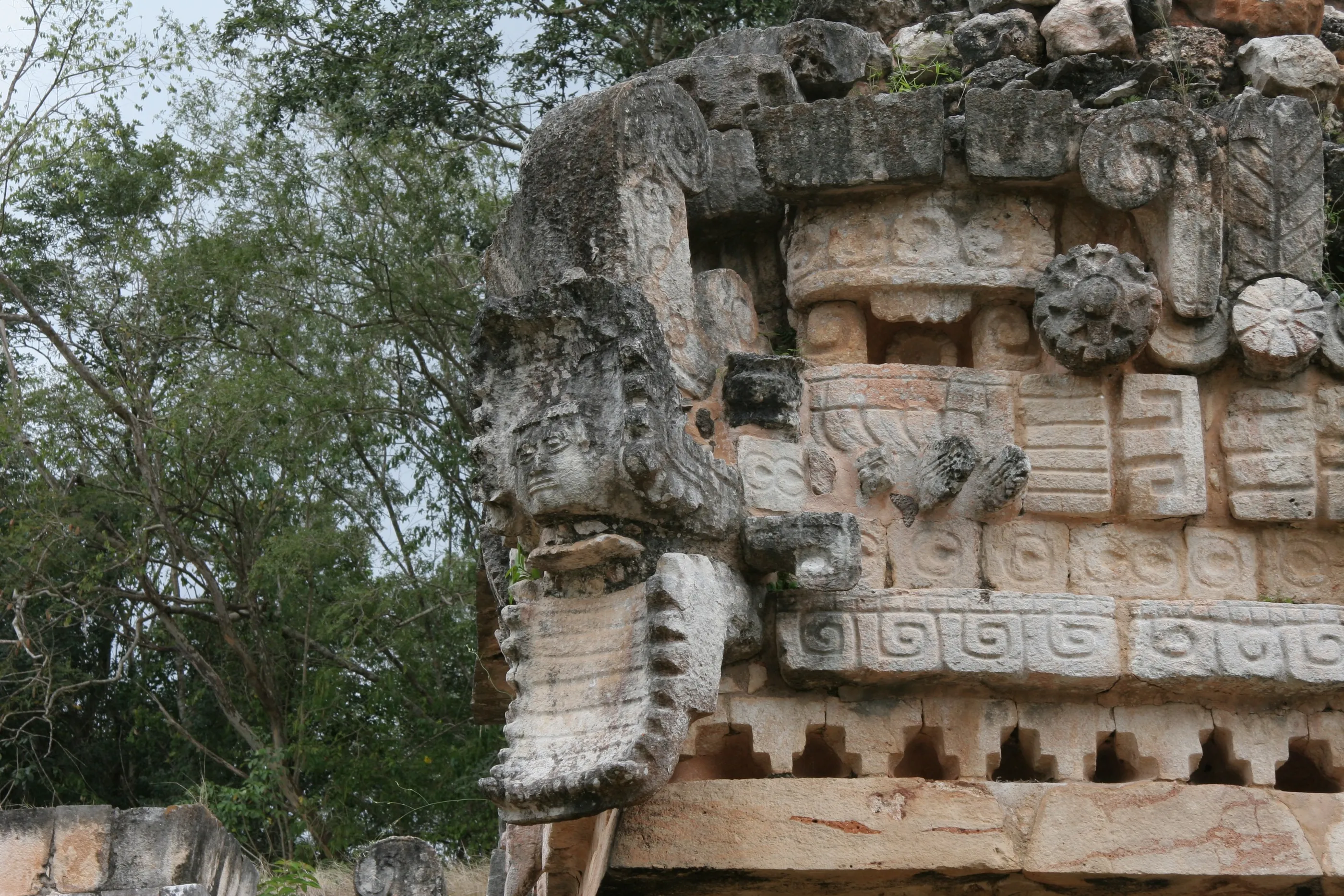
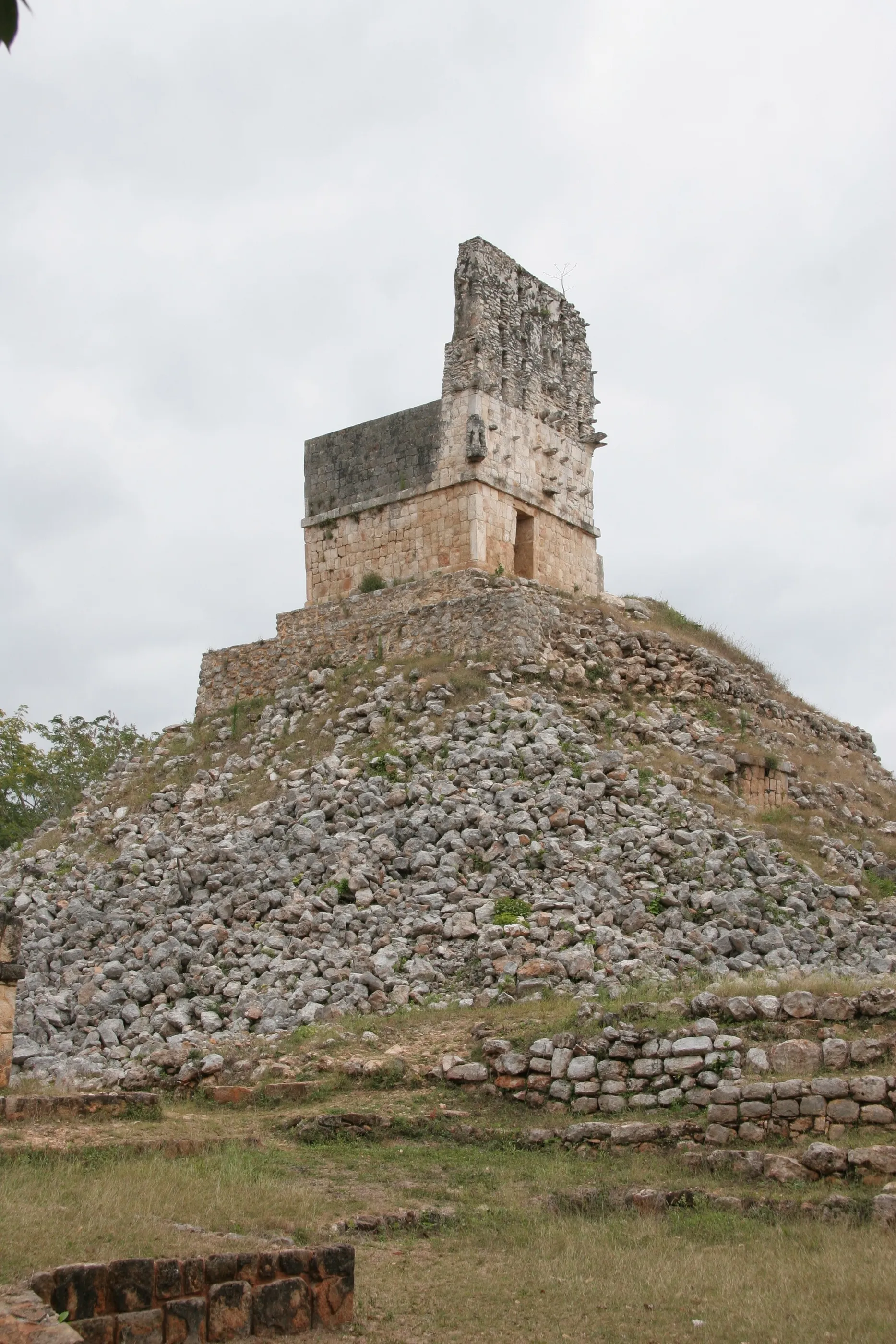
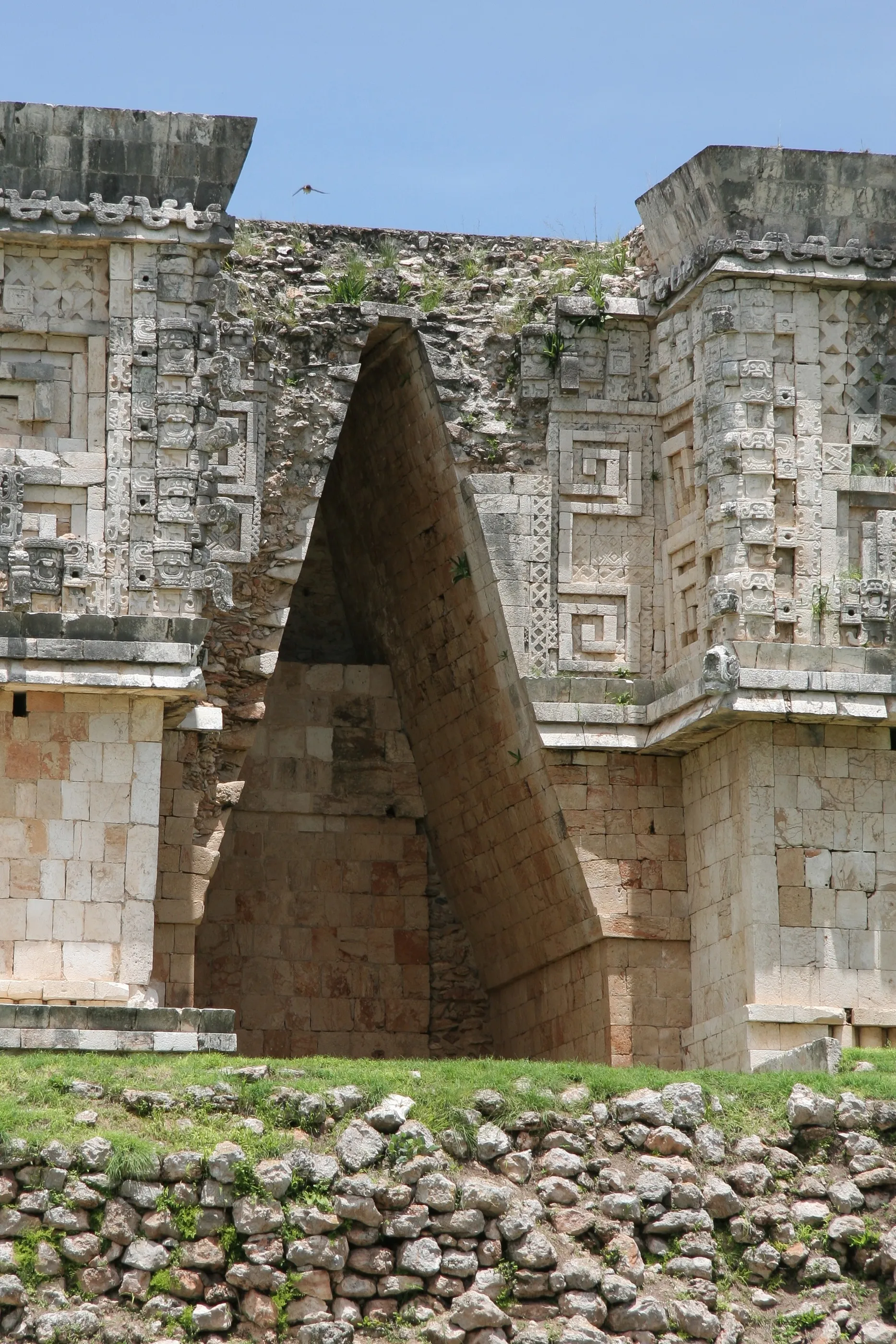
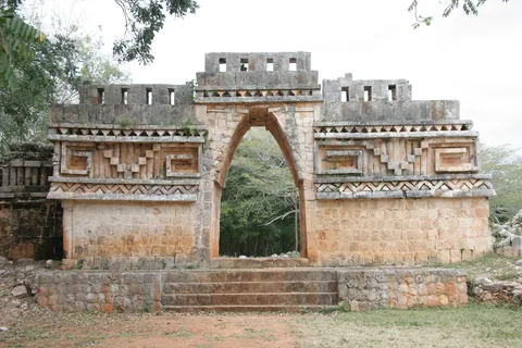
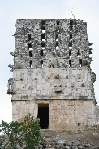
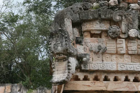
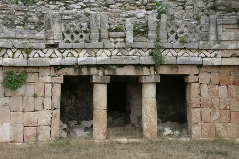
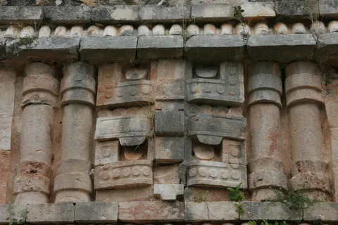
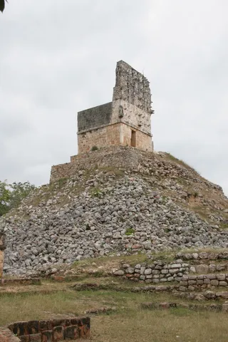
First stop on the Puuc route, south of Mérida. Labná’s famous arch is not a city gate: this corbel-vaulted passage linked two courtyards, and its façade carries stone latticework and niches shaped like thatched Maya huts. Opposite, El Mirador raises its tall roof comb on a pyramid; at the Palace, on the corner of a façade, a human head emerges from a serpent’s jaws.
By road↗ 8 km
Sayil, Yucatán
Mexico
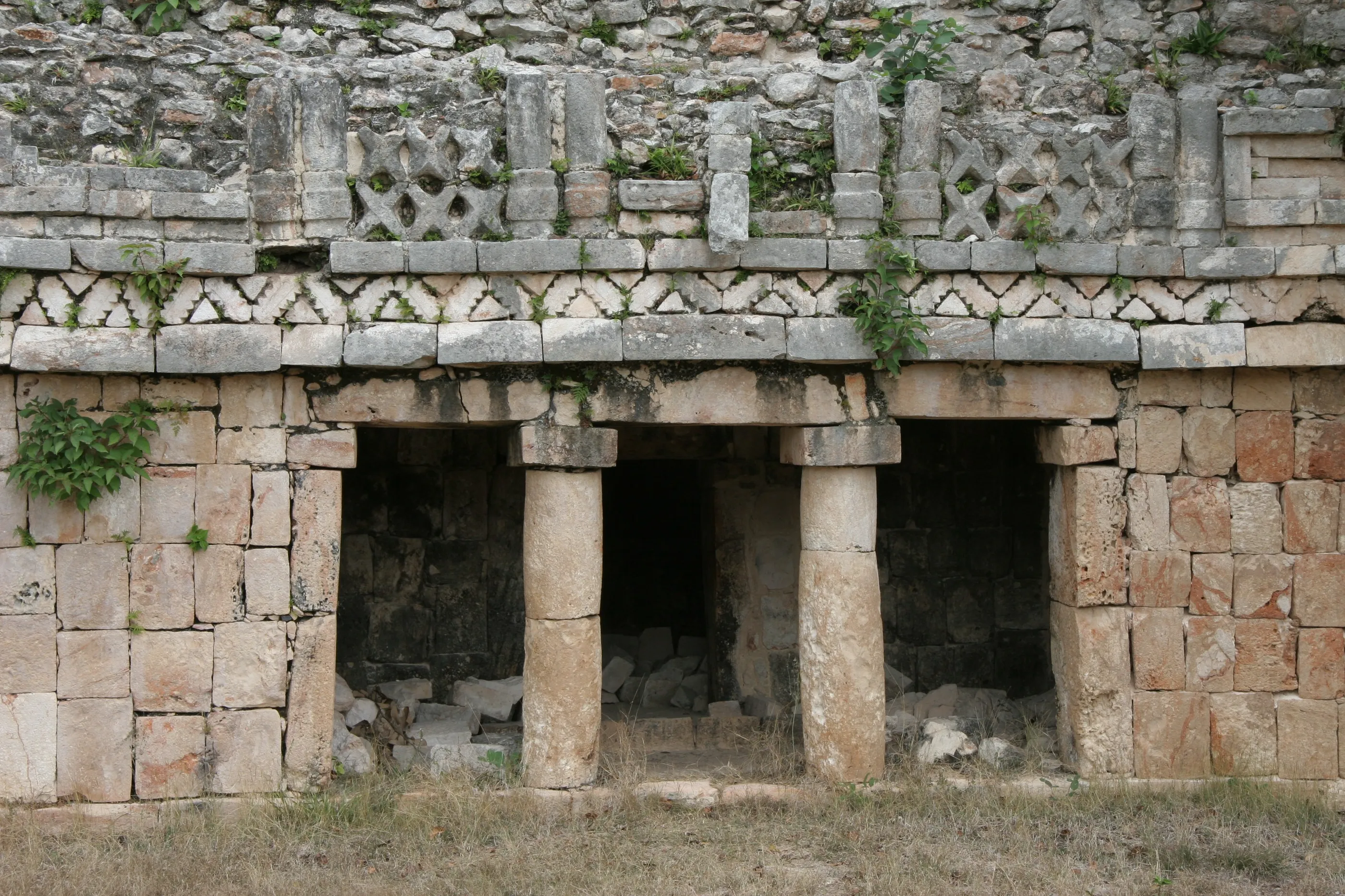
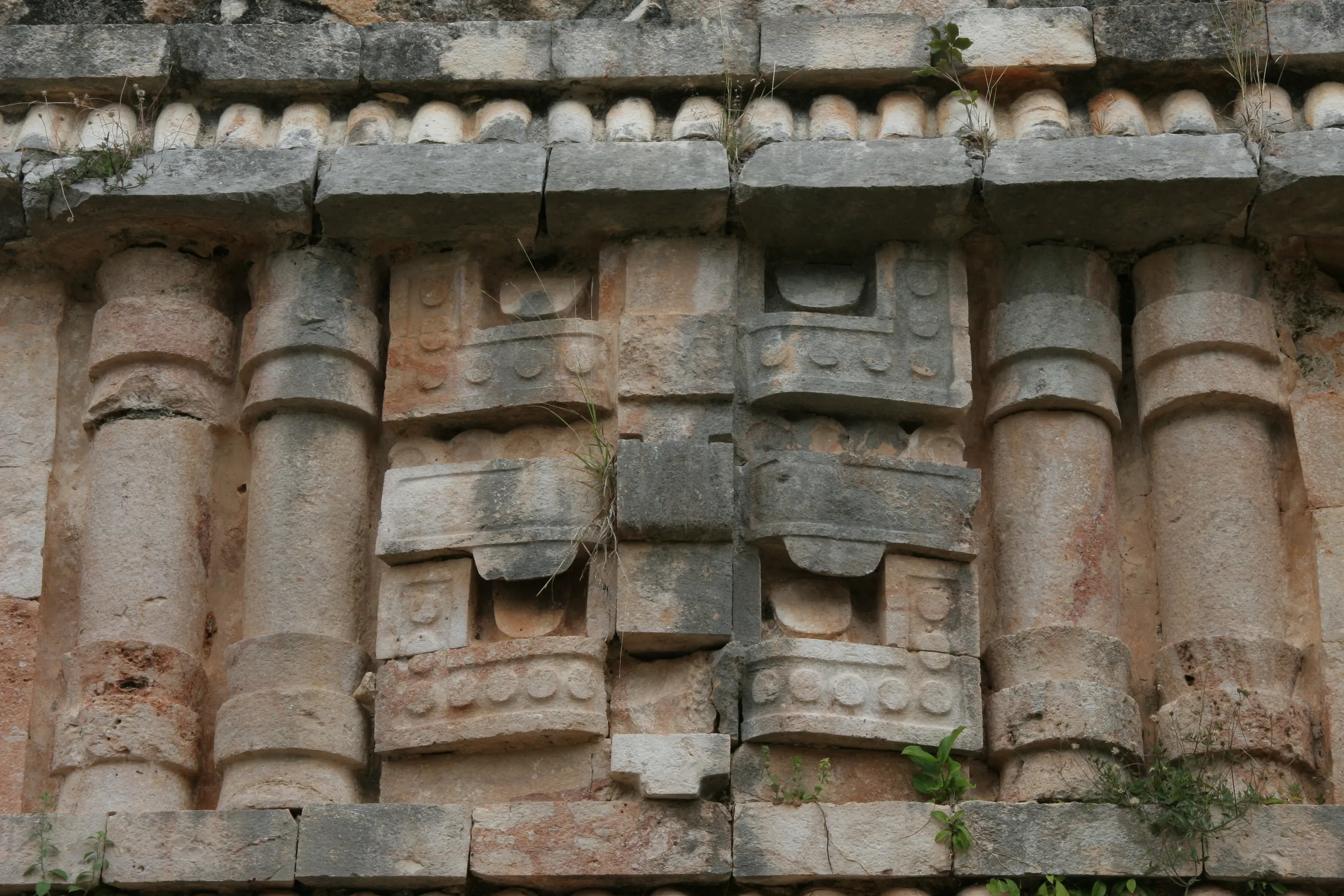
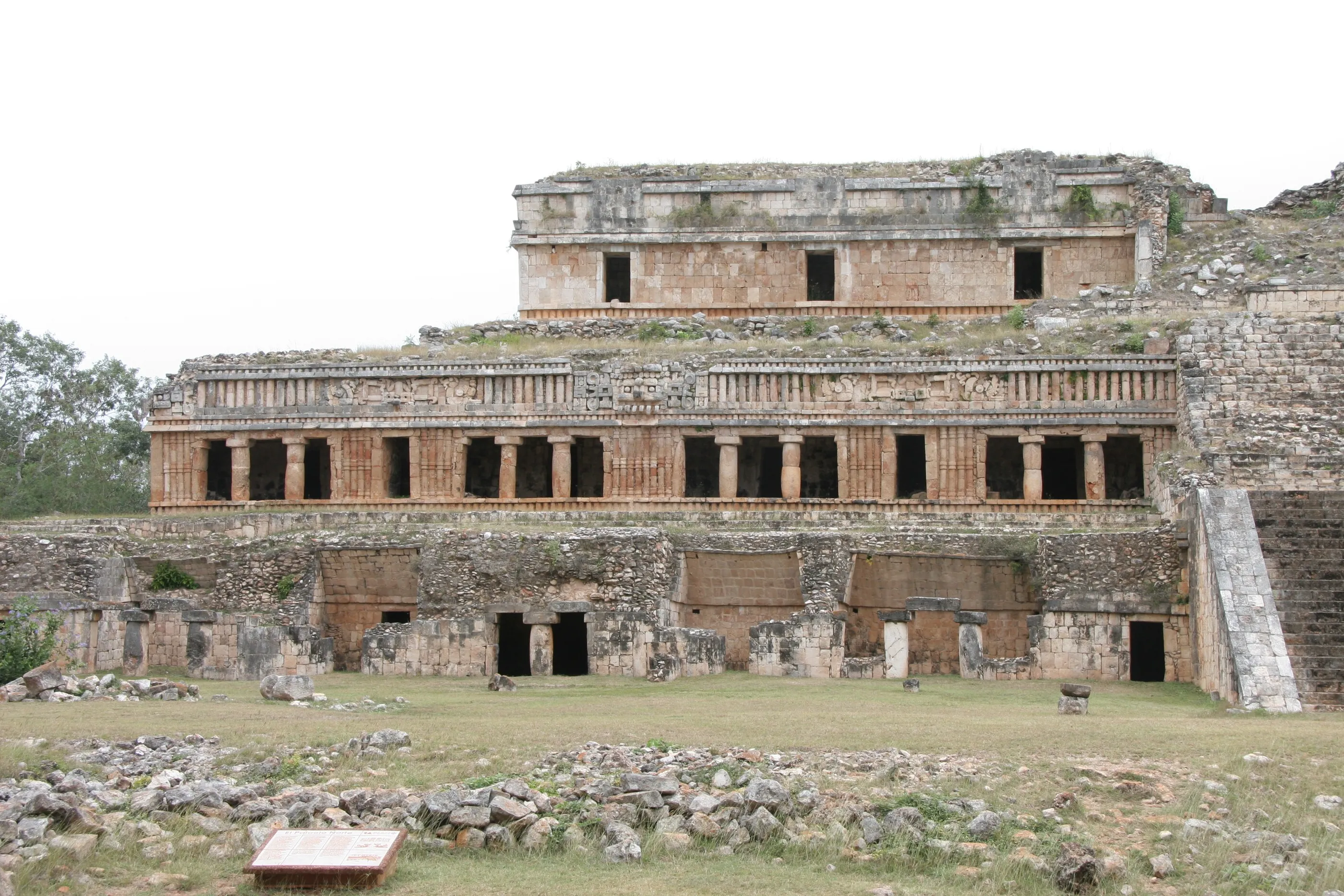
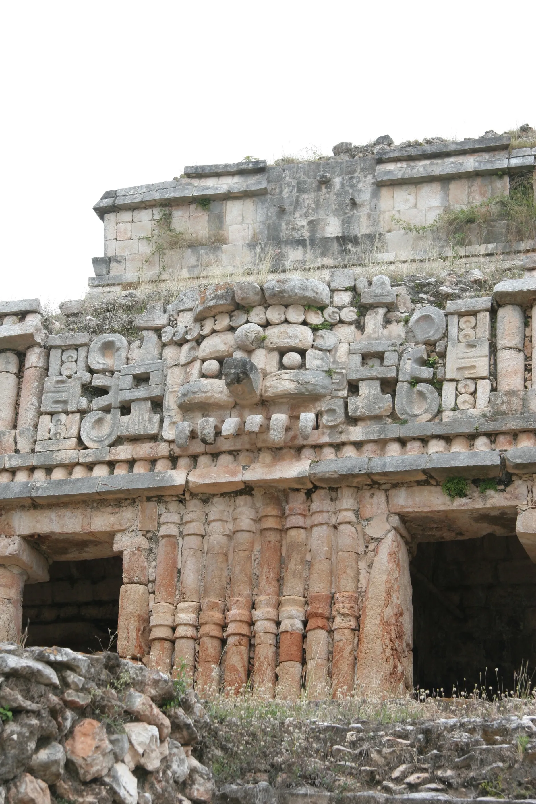
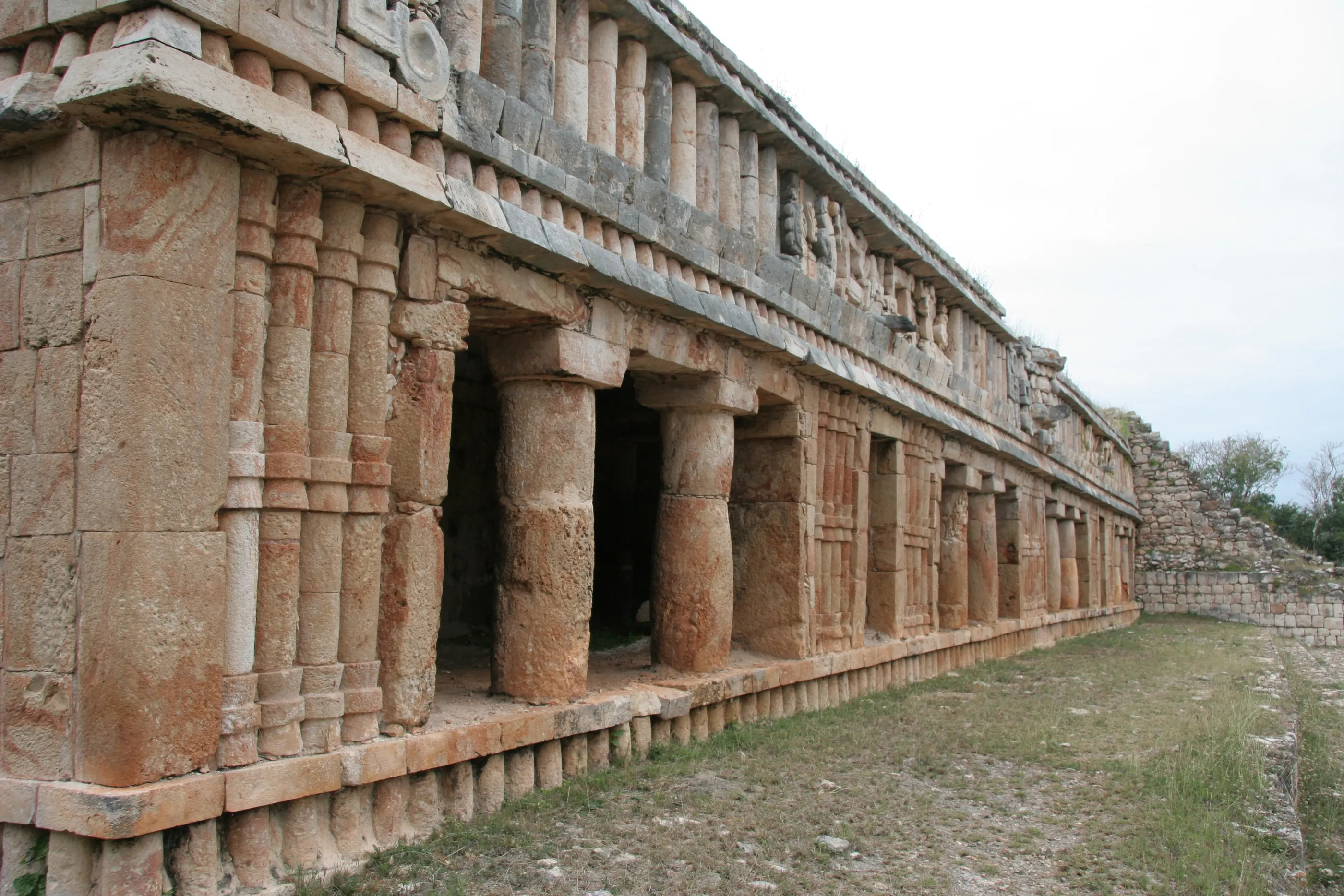
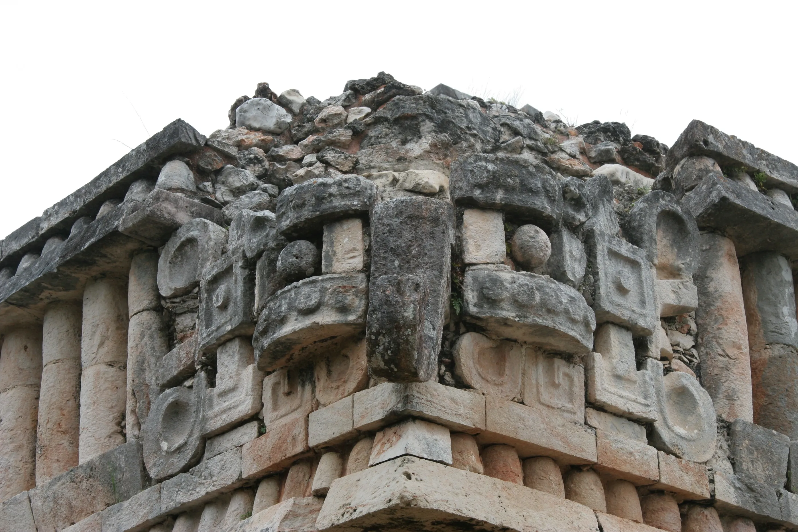
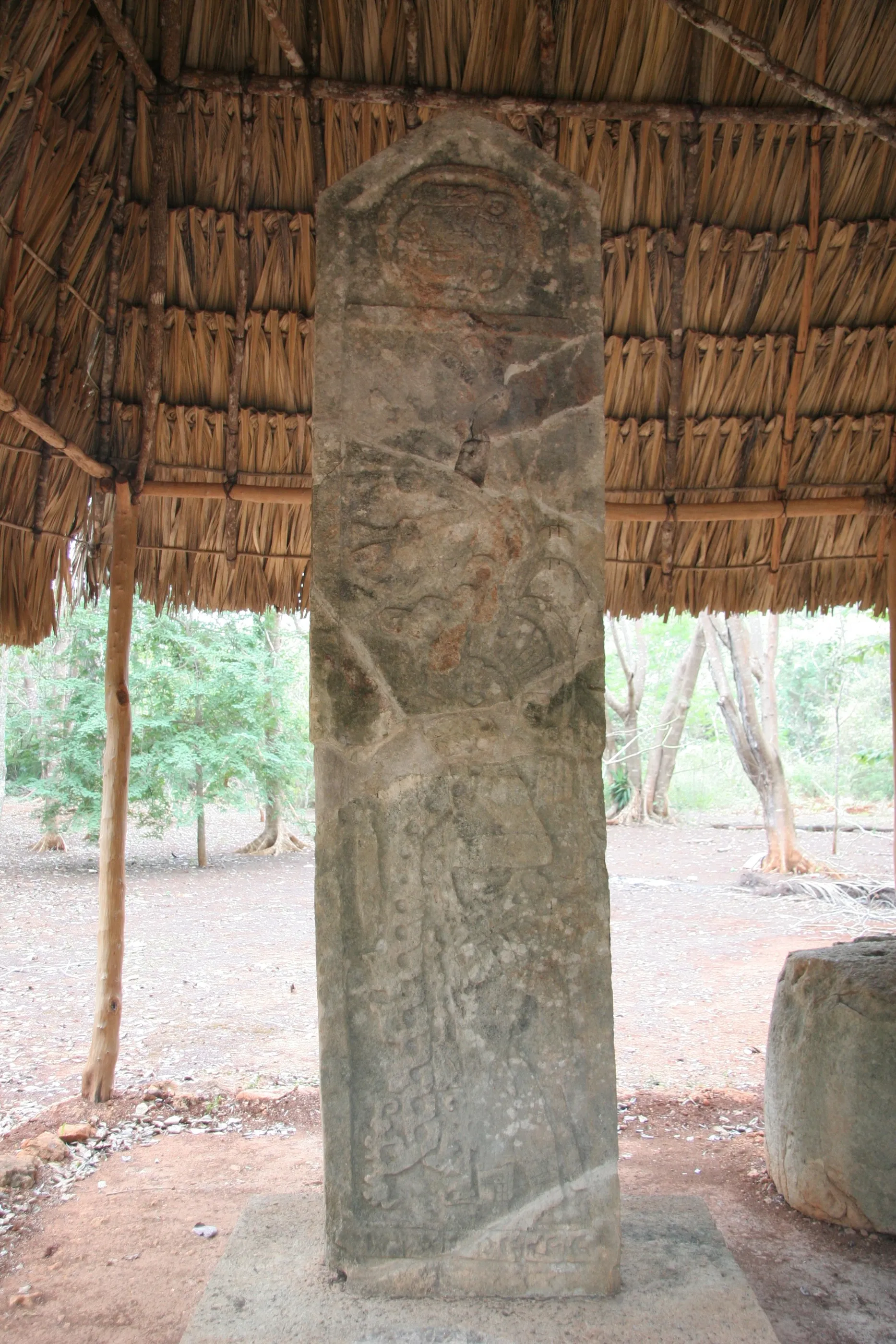
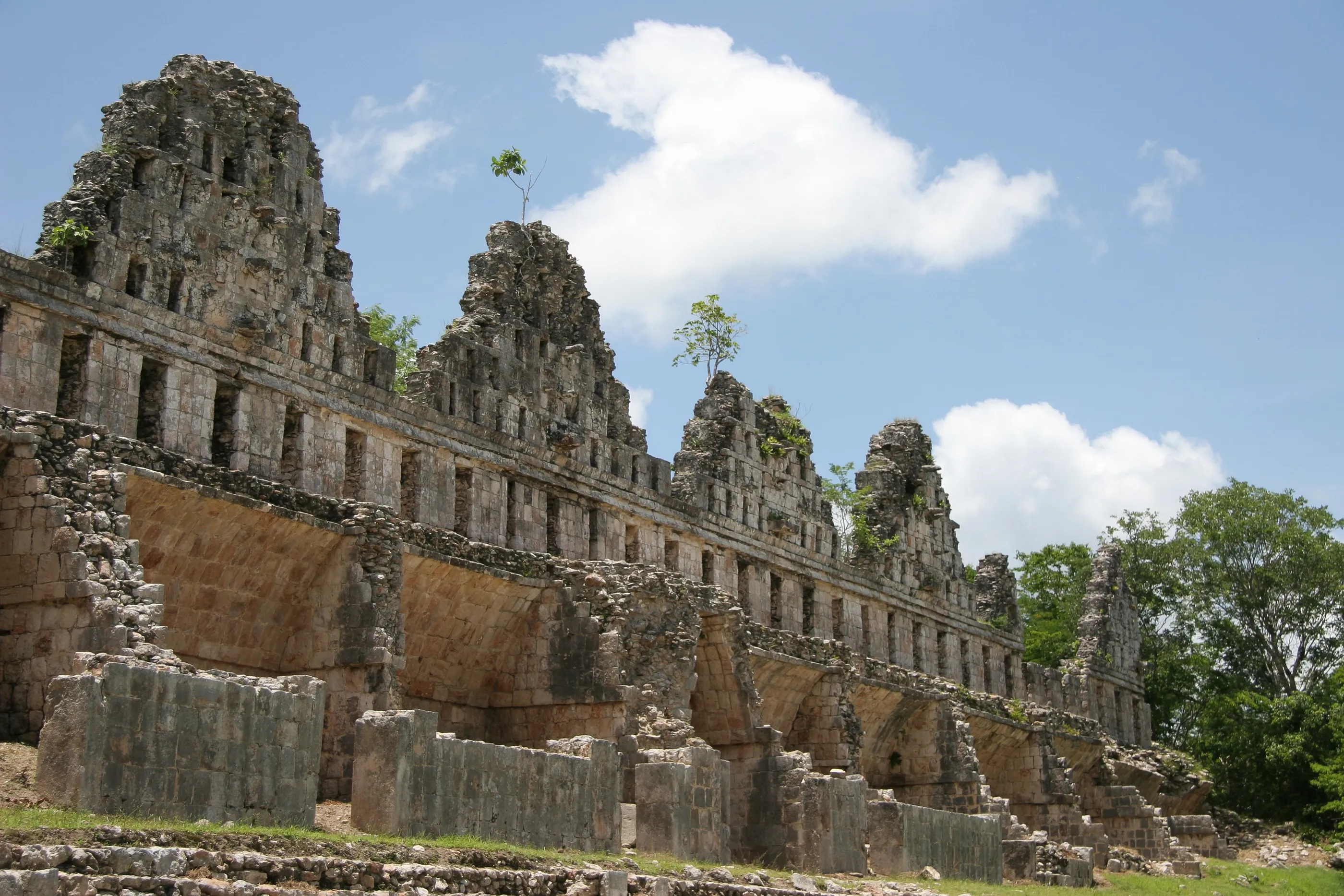
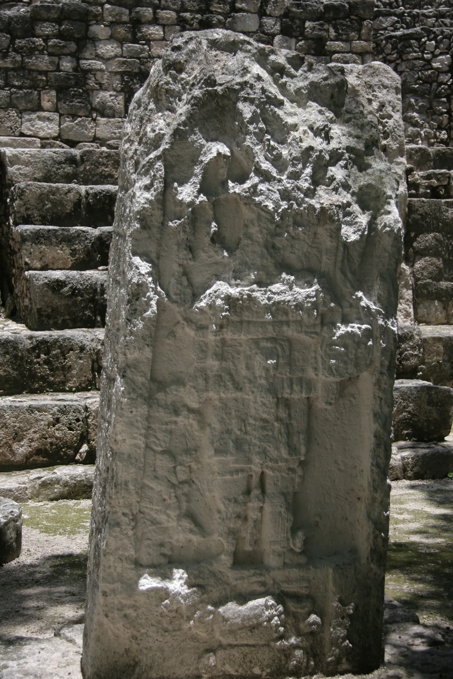
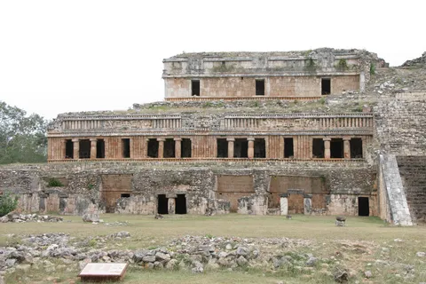
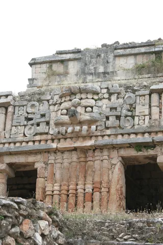
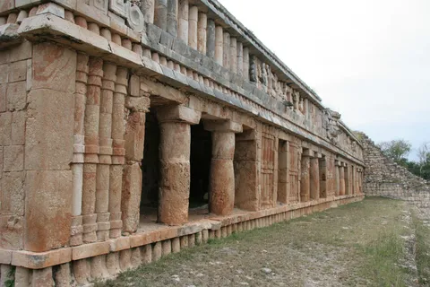
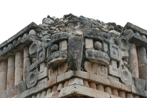
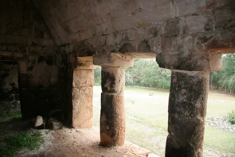
Sayil is dominated by its Great Palace, three stepped storeys and nearly a hundred rooms, with an engaged-column colonnade on the second level and a frieze where a ‘descending god’ sits between Chaac masks. A Terminal Classic city (9th–10th century), it is also a landmark for settlement archaeology: the surveys of Jeremy Sabloff and Gair Tourtellot mapped thousands of dwellings around the palaces. A stela rests under a palm-thatched shelter.

By road↗ 8 km
Kabah, Yucatán
Mexico
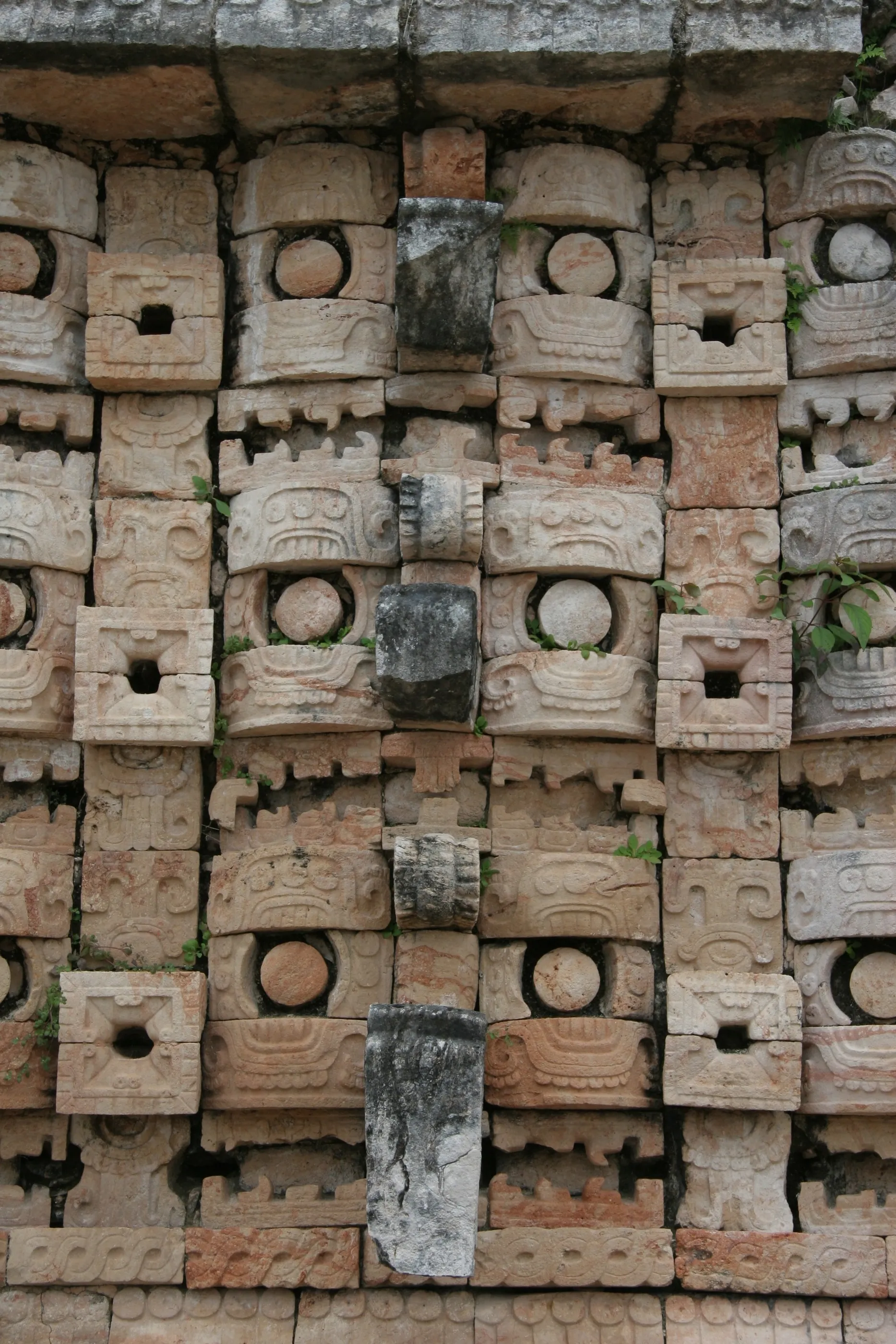
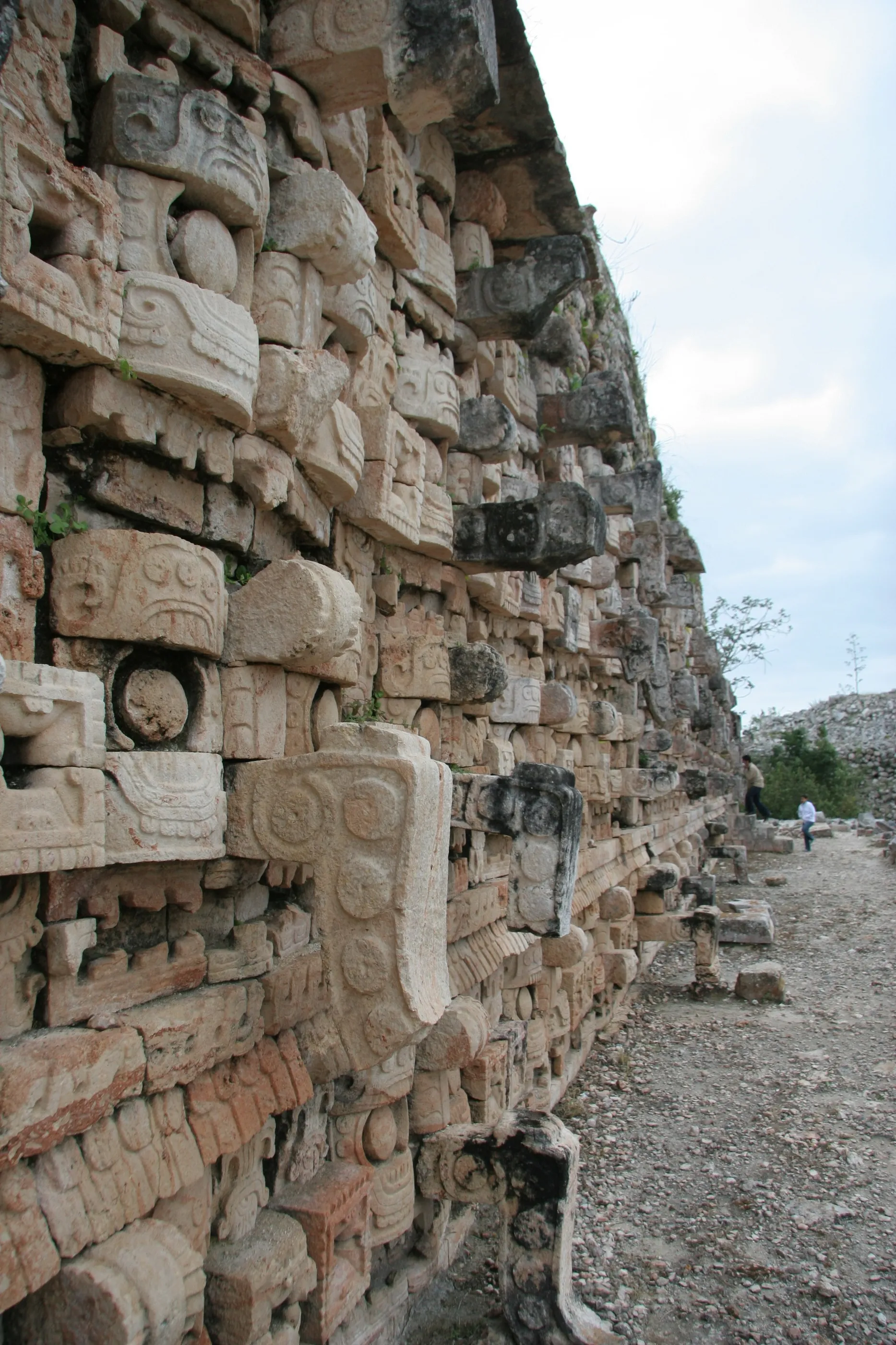
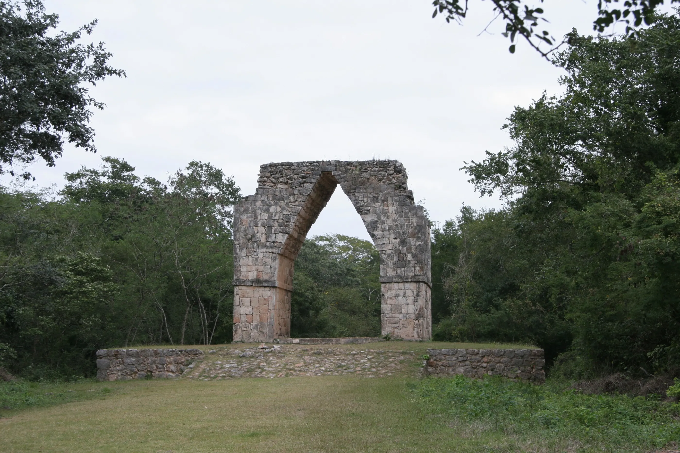
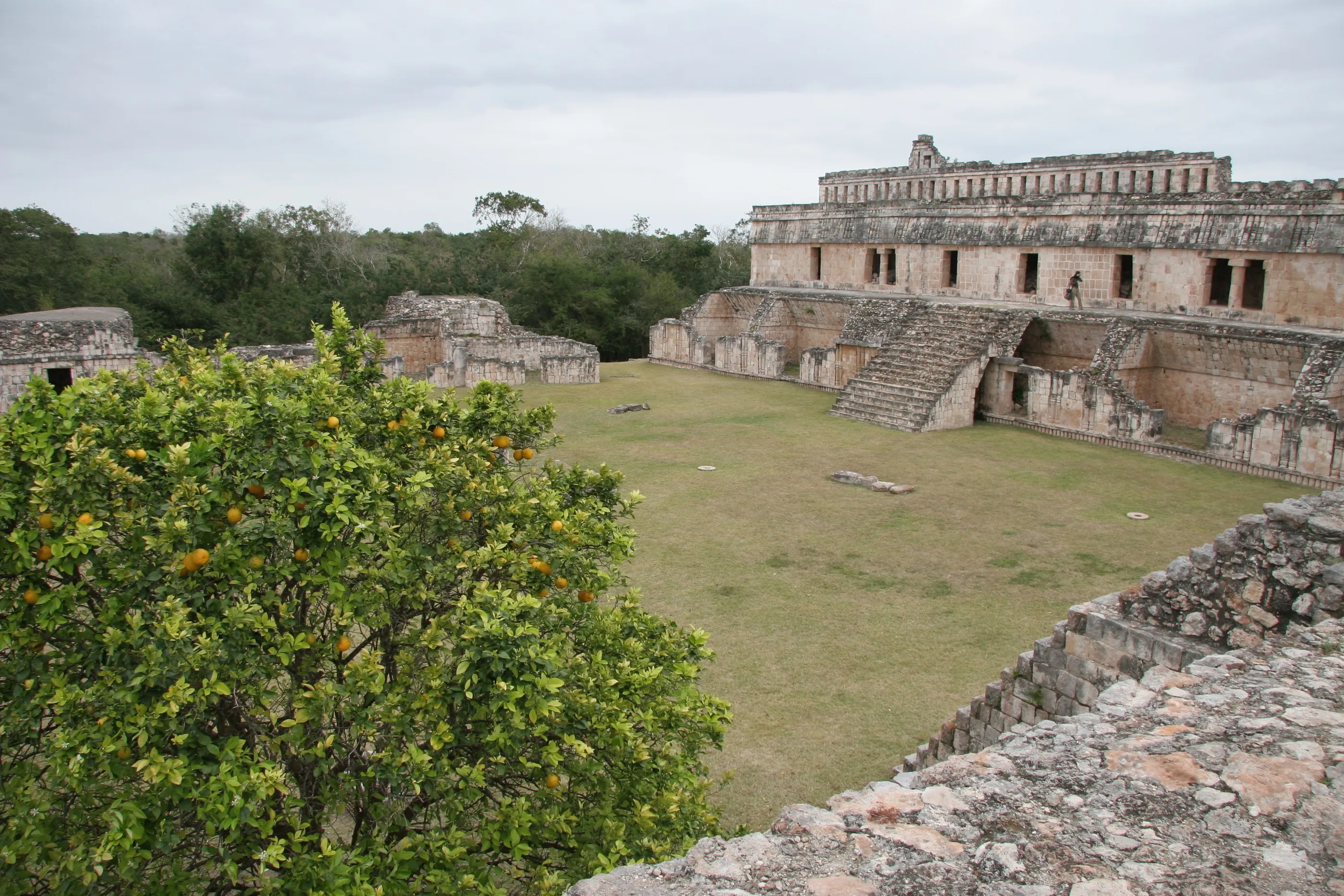
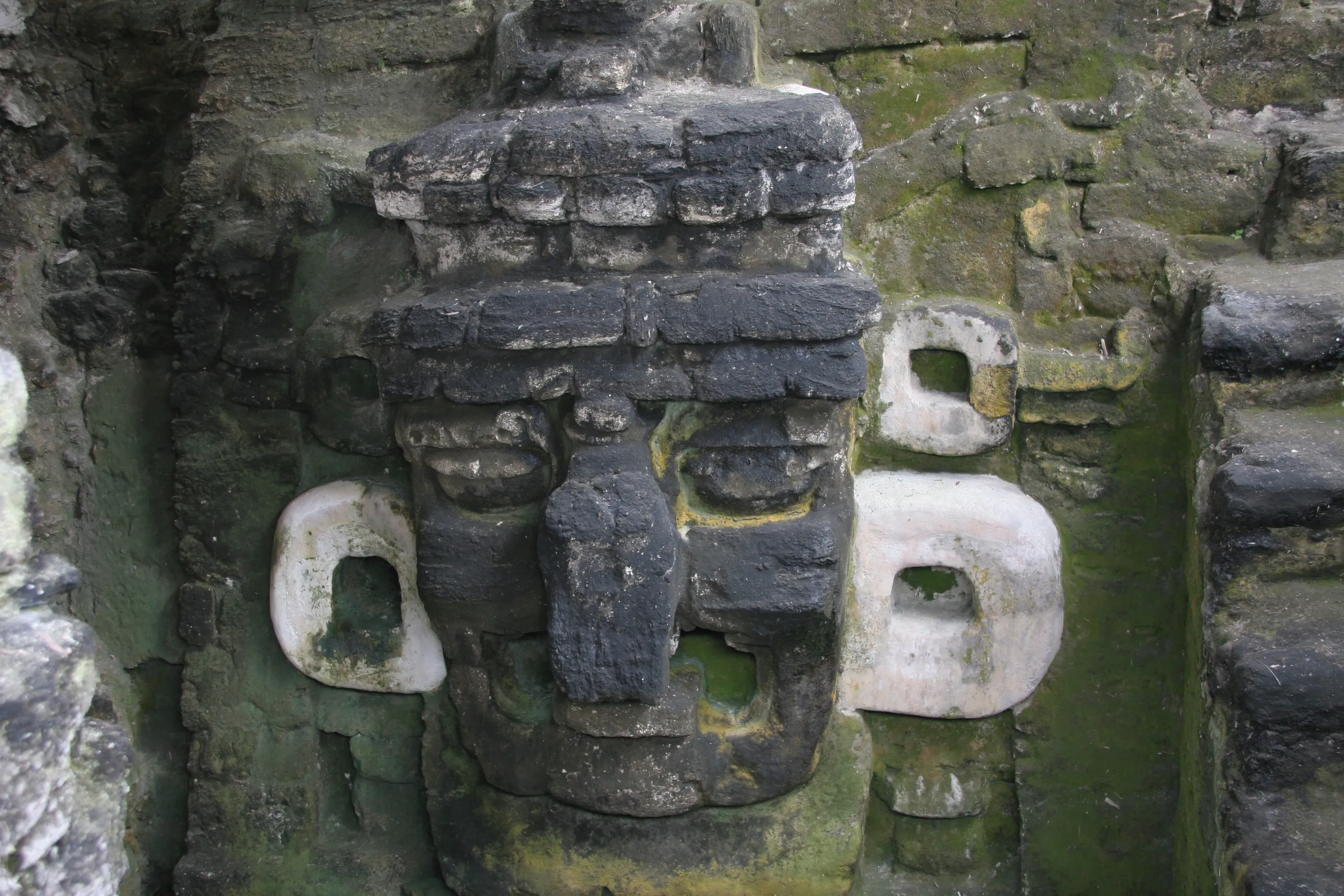
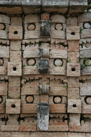
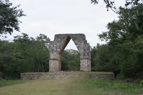
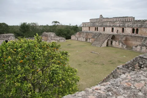
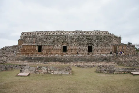
At Kabah, the Codz Poop — the Palace of the Masks — takes the Puuc style to its extreme: its entire façade is covered with hundreds of masks of the rain god Chaac, with curling noses, right down to the steps leading to the doorways. A free-standing arch marks the start of the sacbé, the white causeway of some 18 km that linked Kabah to its great neighbour Uxmal in the 9th and 10th centuries.


By road↗ 18 km
Uxmal, Yucatán
Mexico
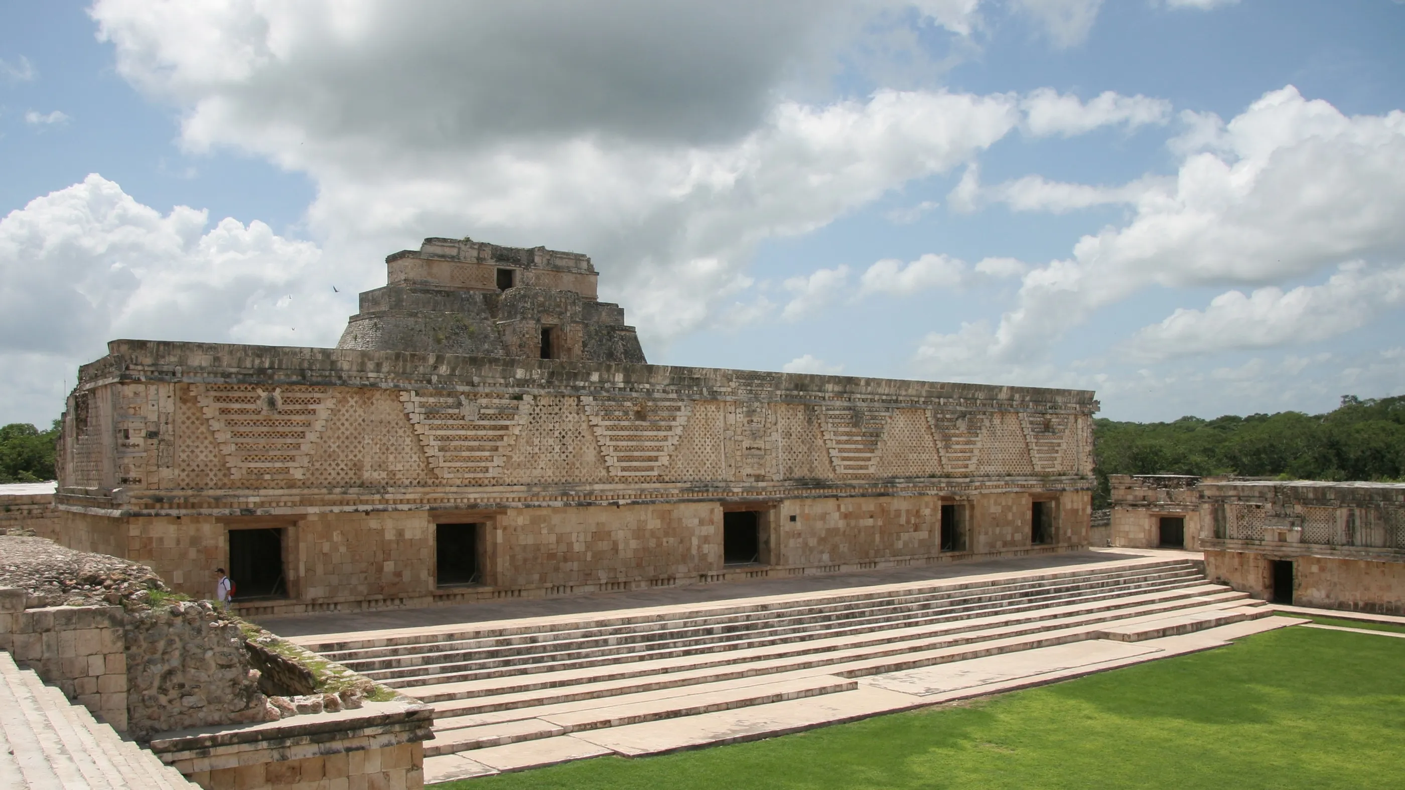
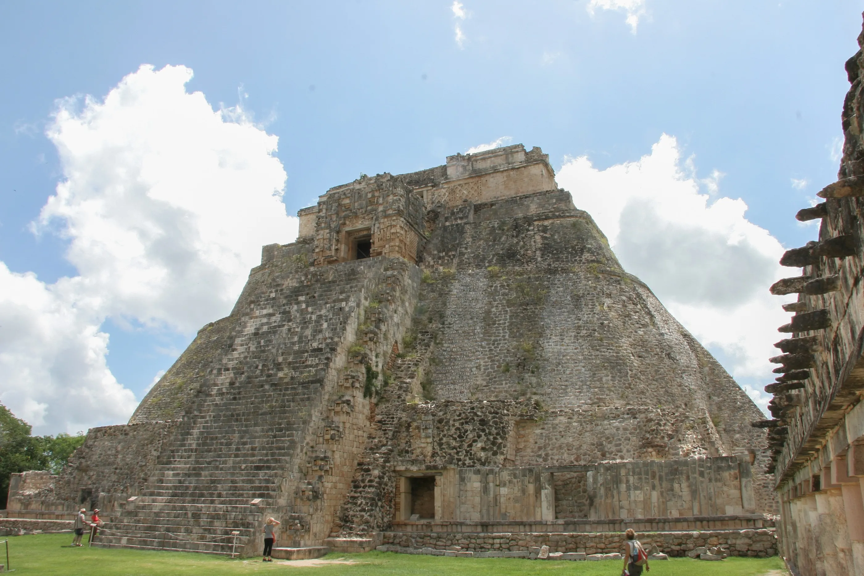
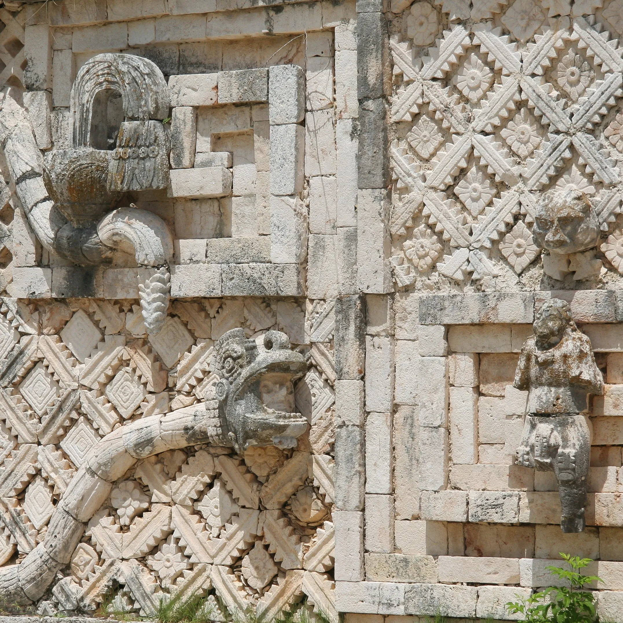
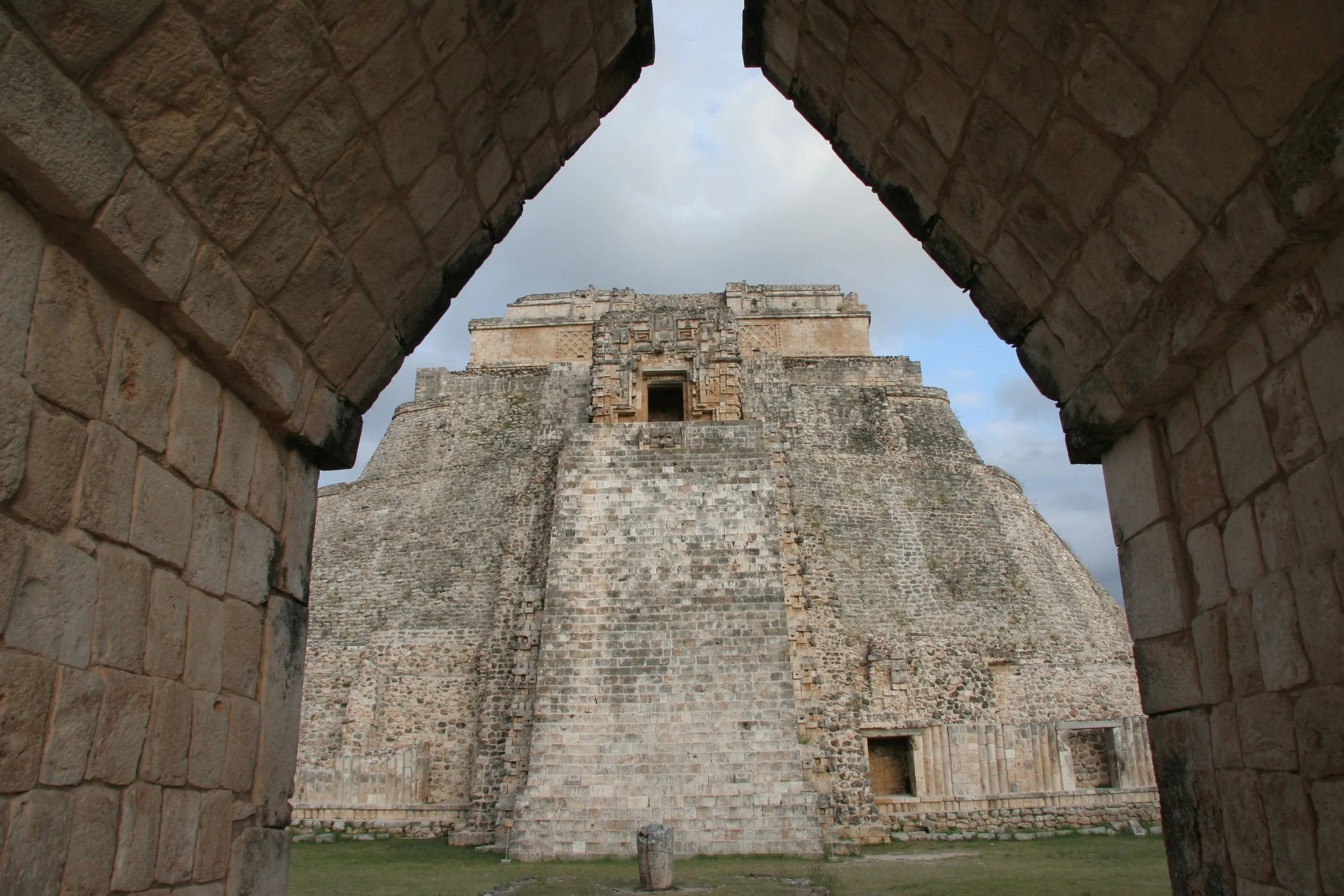
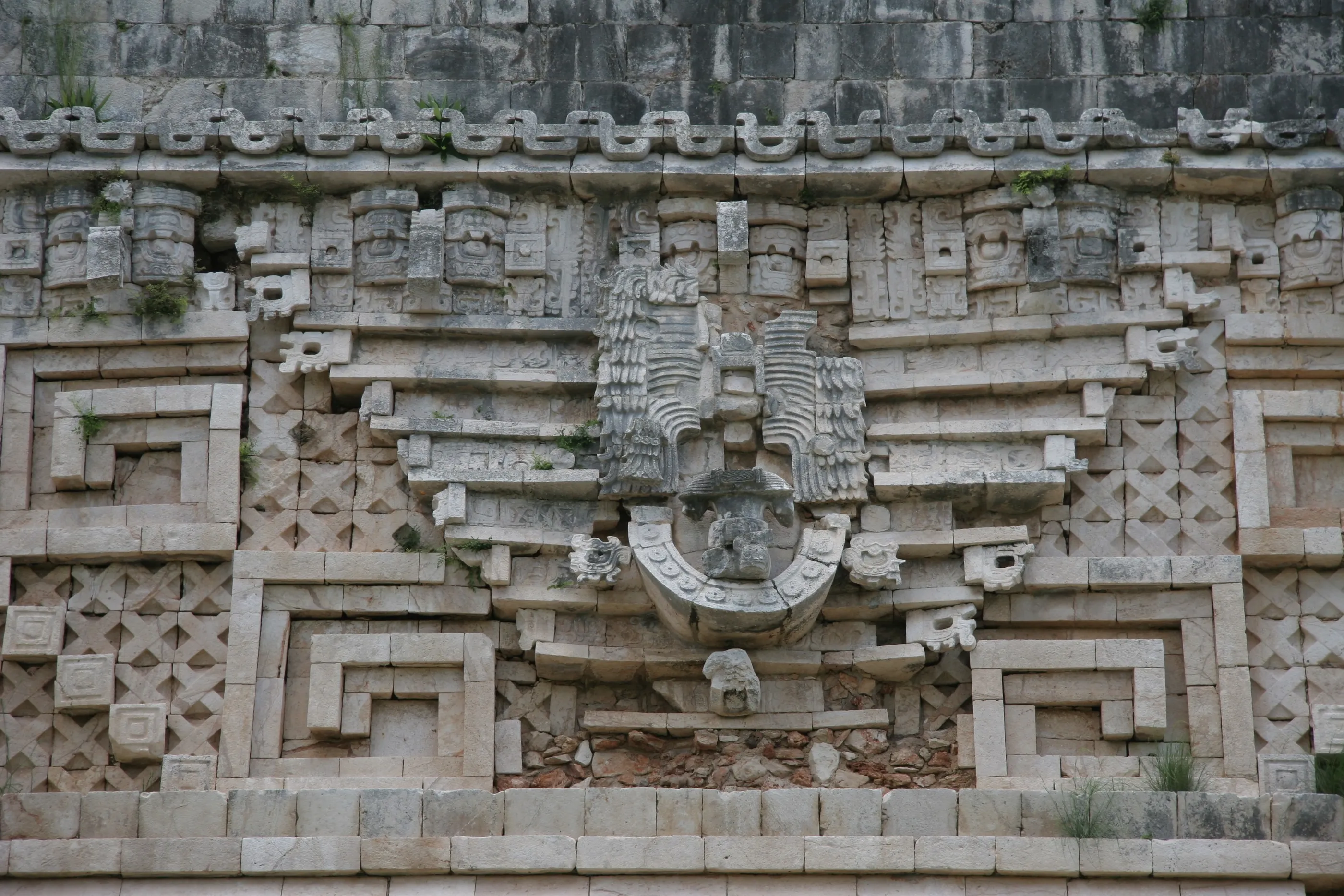
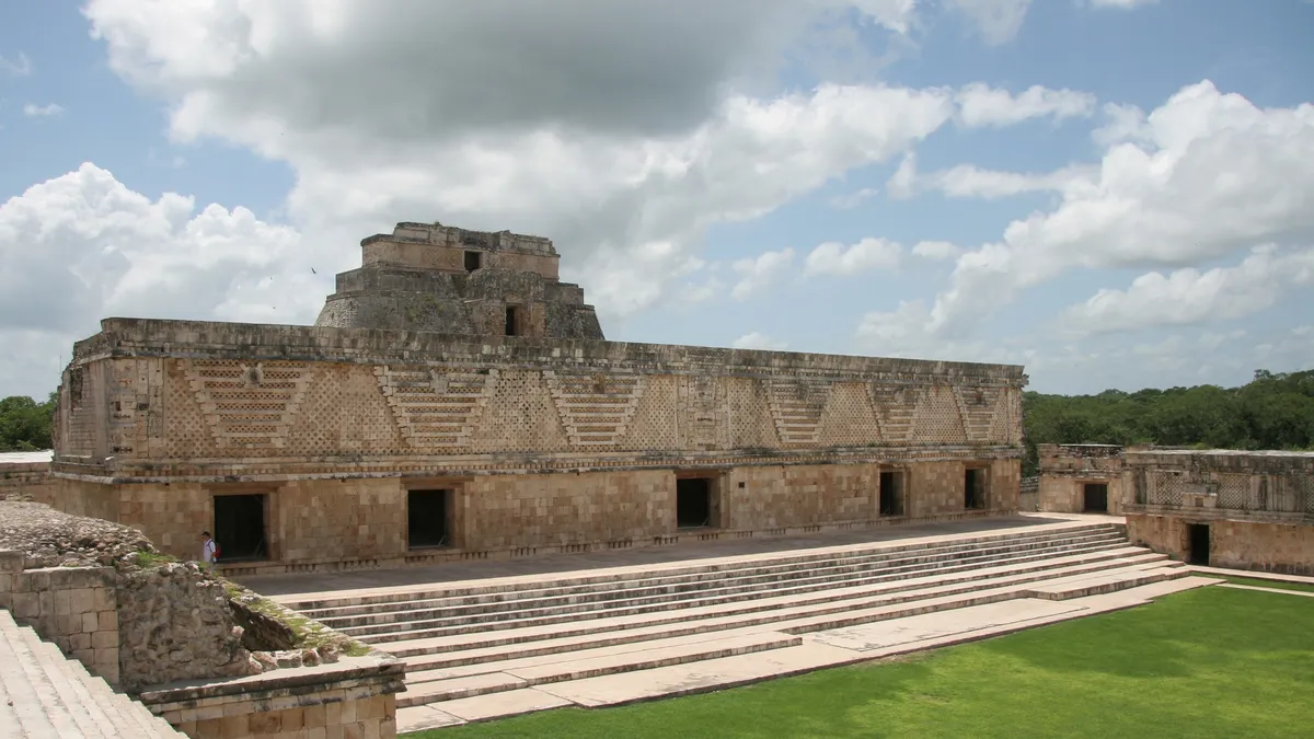
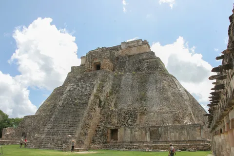
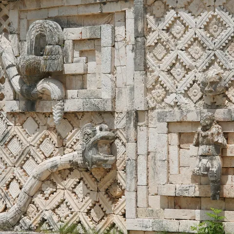
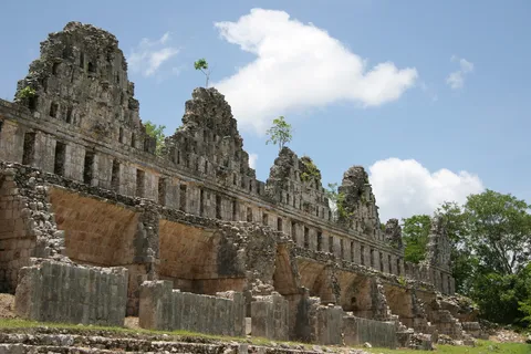
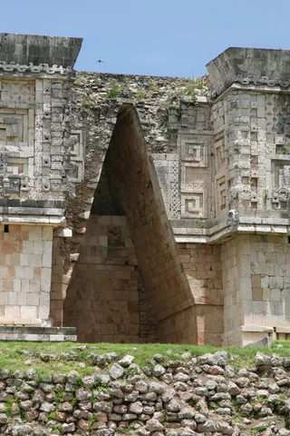
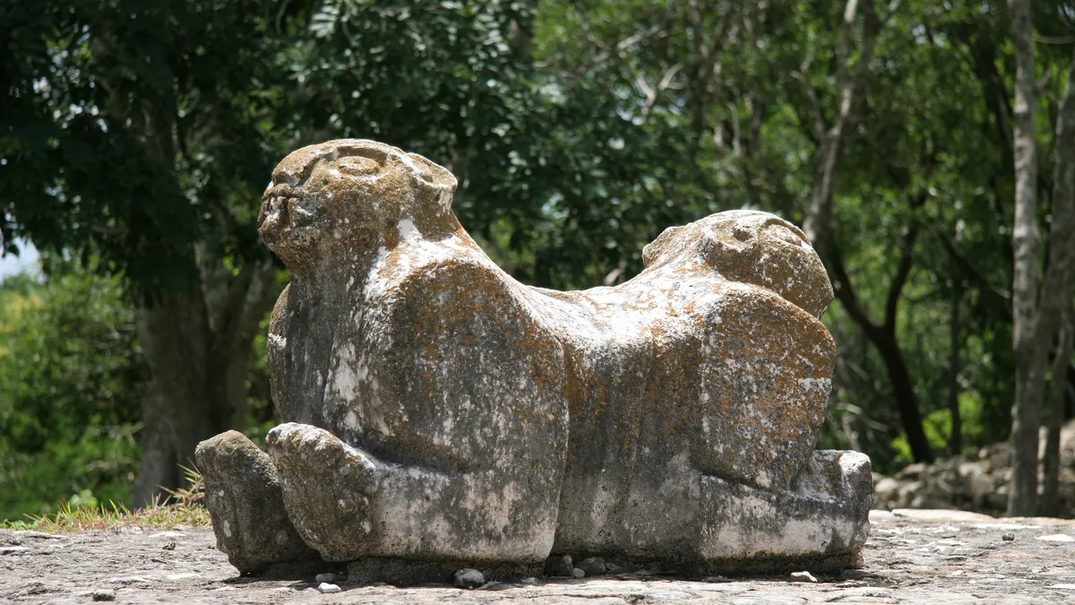
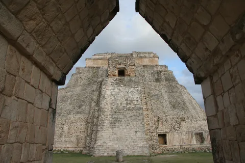
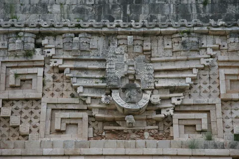
At the end of the Puuc route, Uxmal is the masterpiece of the style that flourished in the hills of the Yucatán in the 9th and 10th centuries. No painted stucco here, but façades of stone mosaic: frets, intertwined serpents and stacked masks of the rain god Chaac, vital in a land without rivers. First seen in the evening light in 2006 and again in 2011, the Nunnery Quadrangle, the Governor’s Palace and the oval-based Pyramid of the Magician are among the most harmonious ensembles in the Maya world.
By road↗ 130 km
Chichén Itzá, Yucatán
Mexico
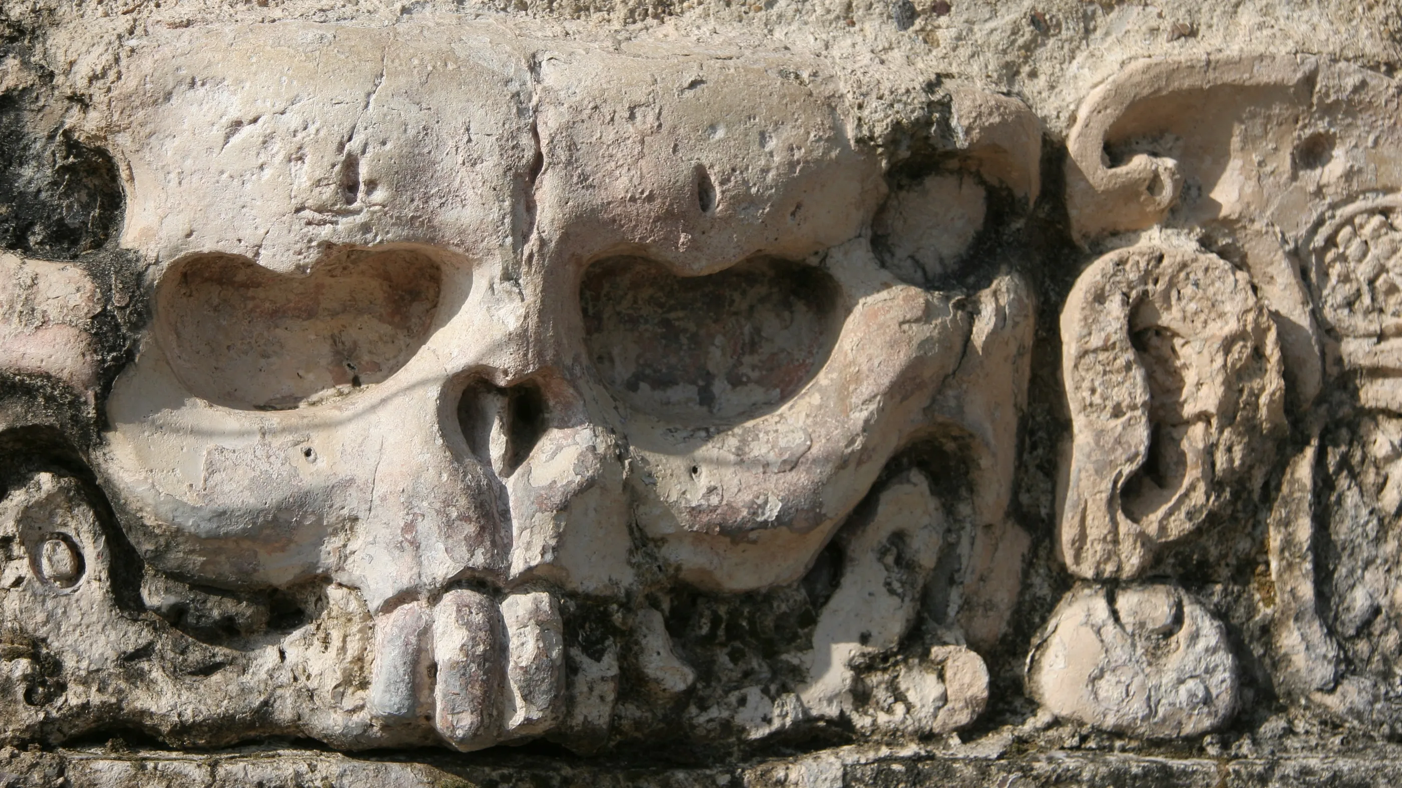
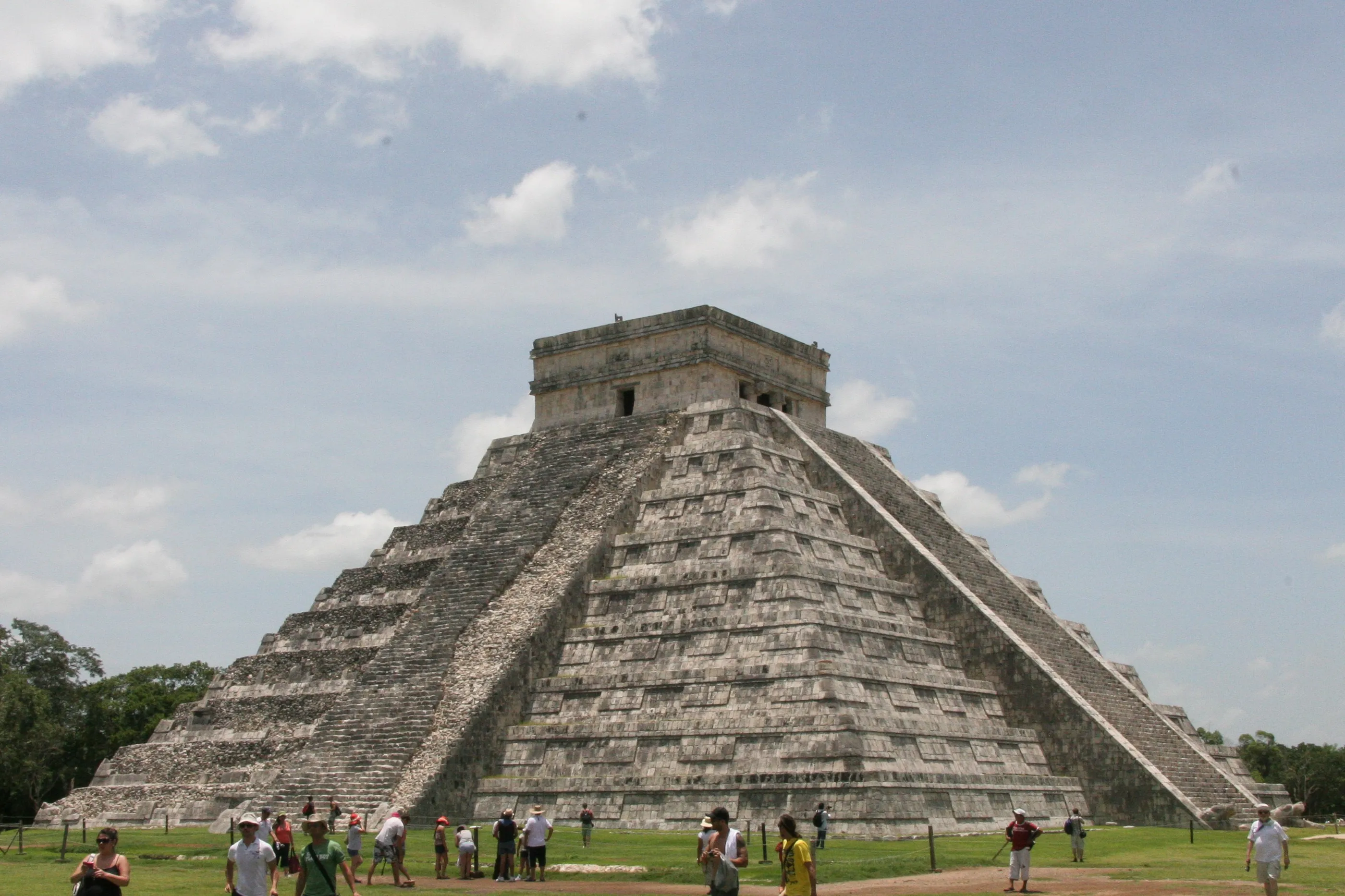
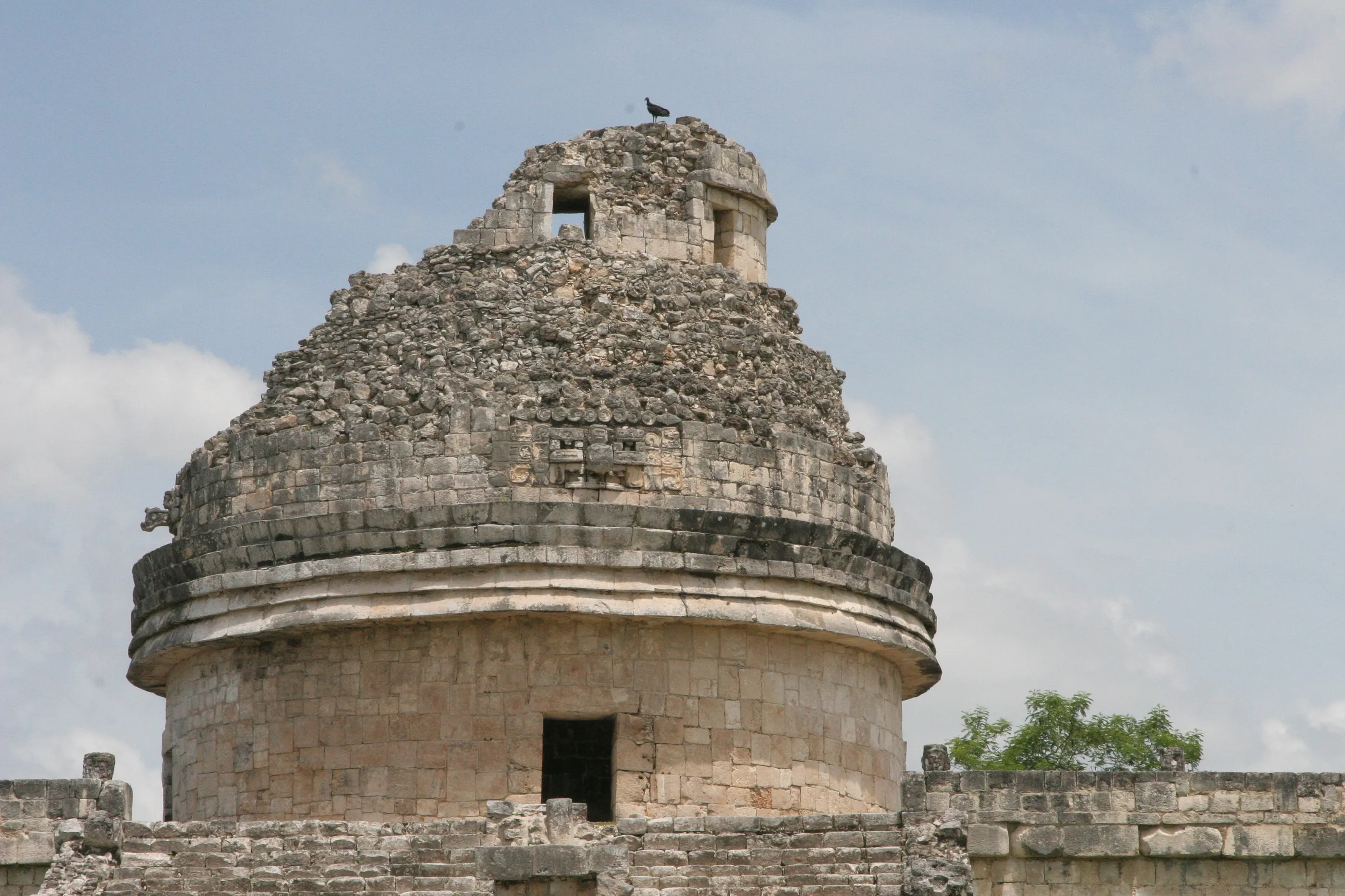
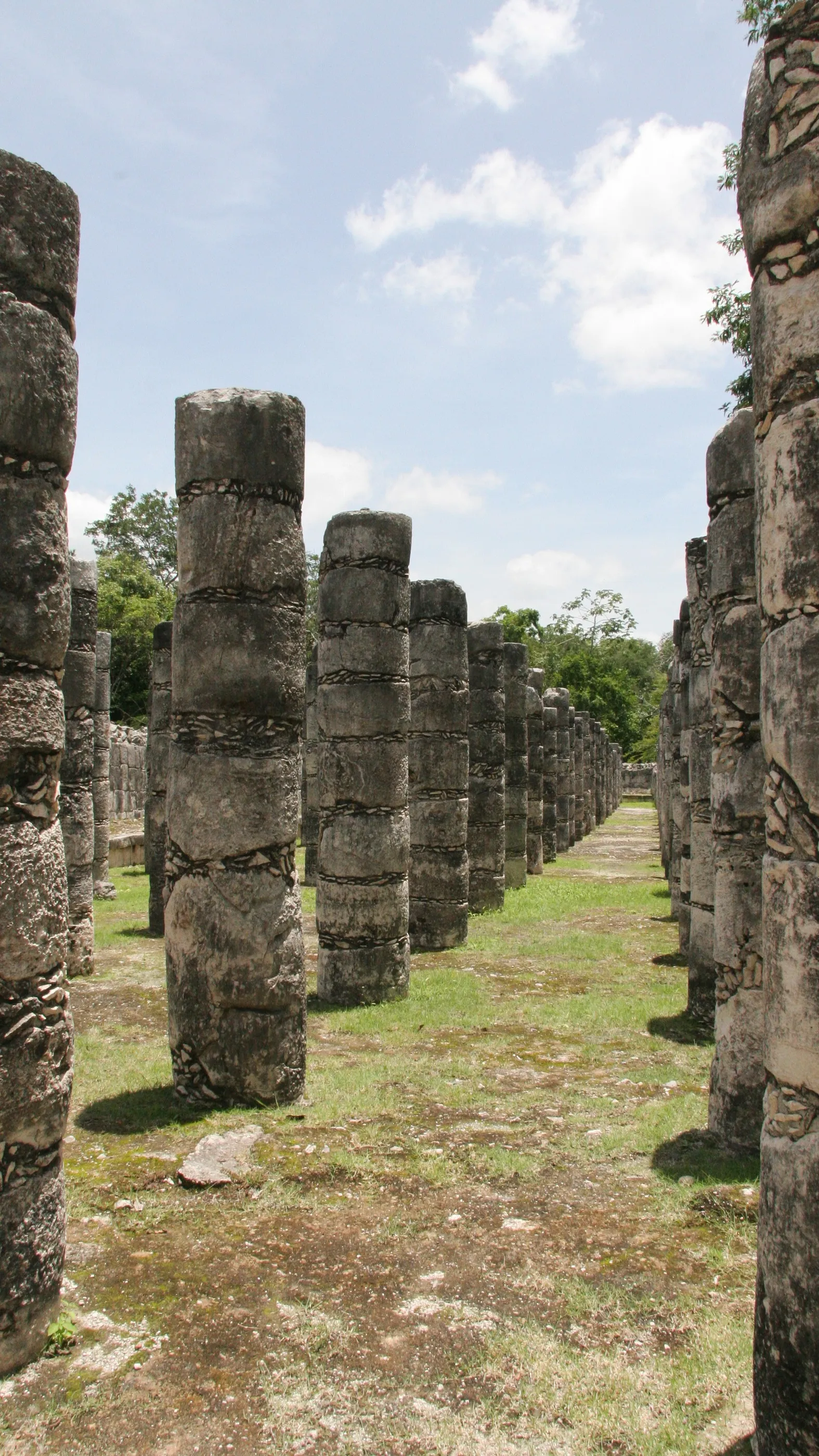
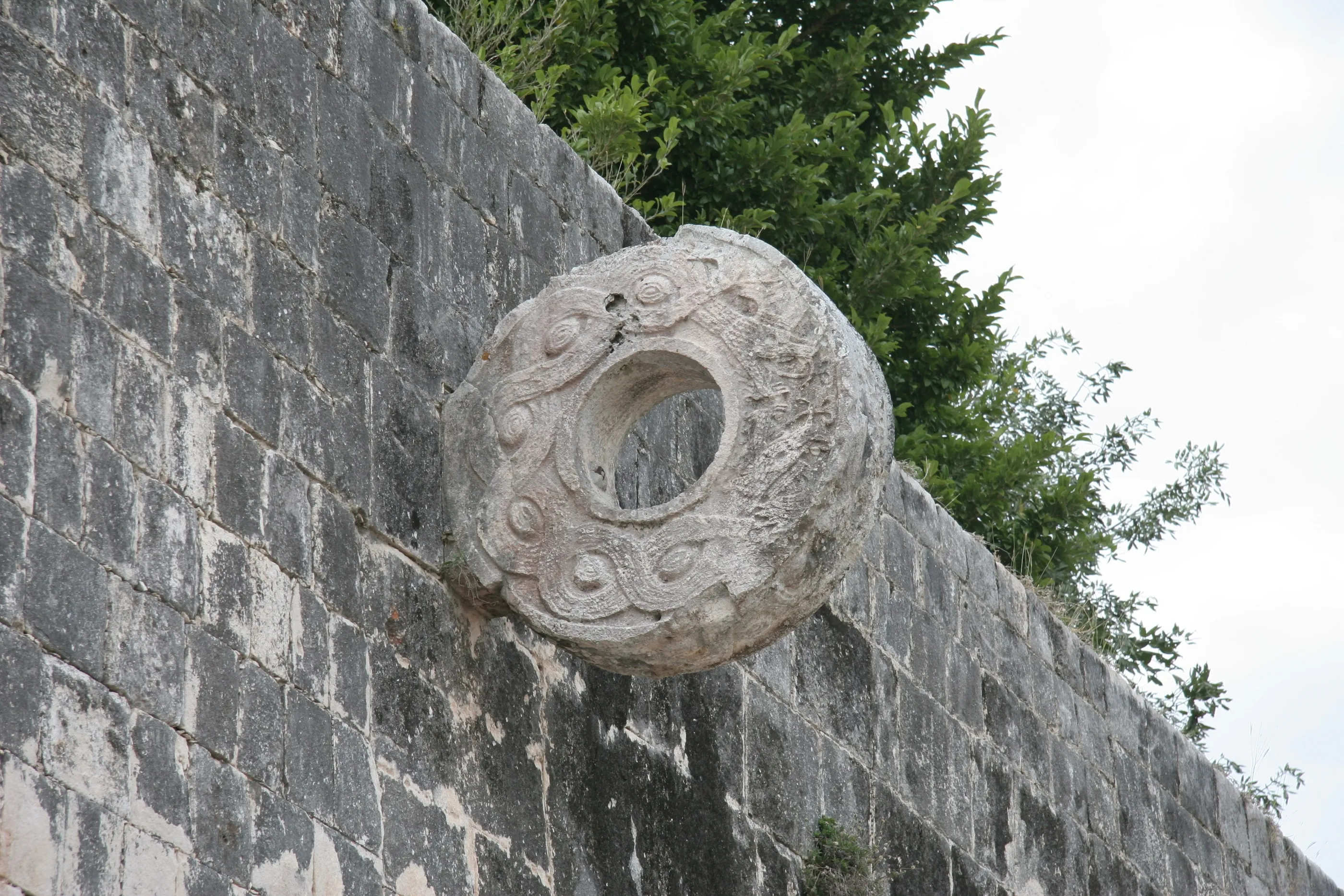
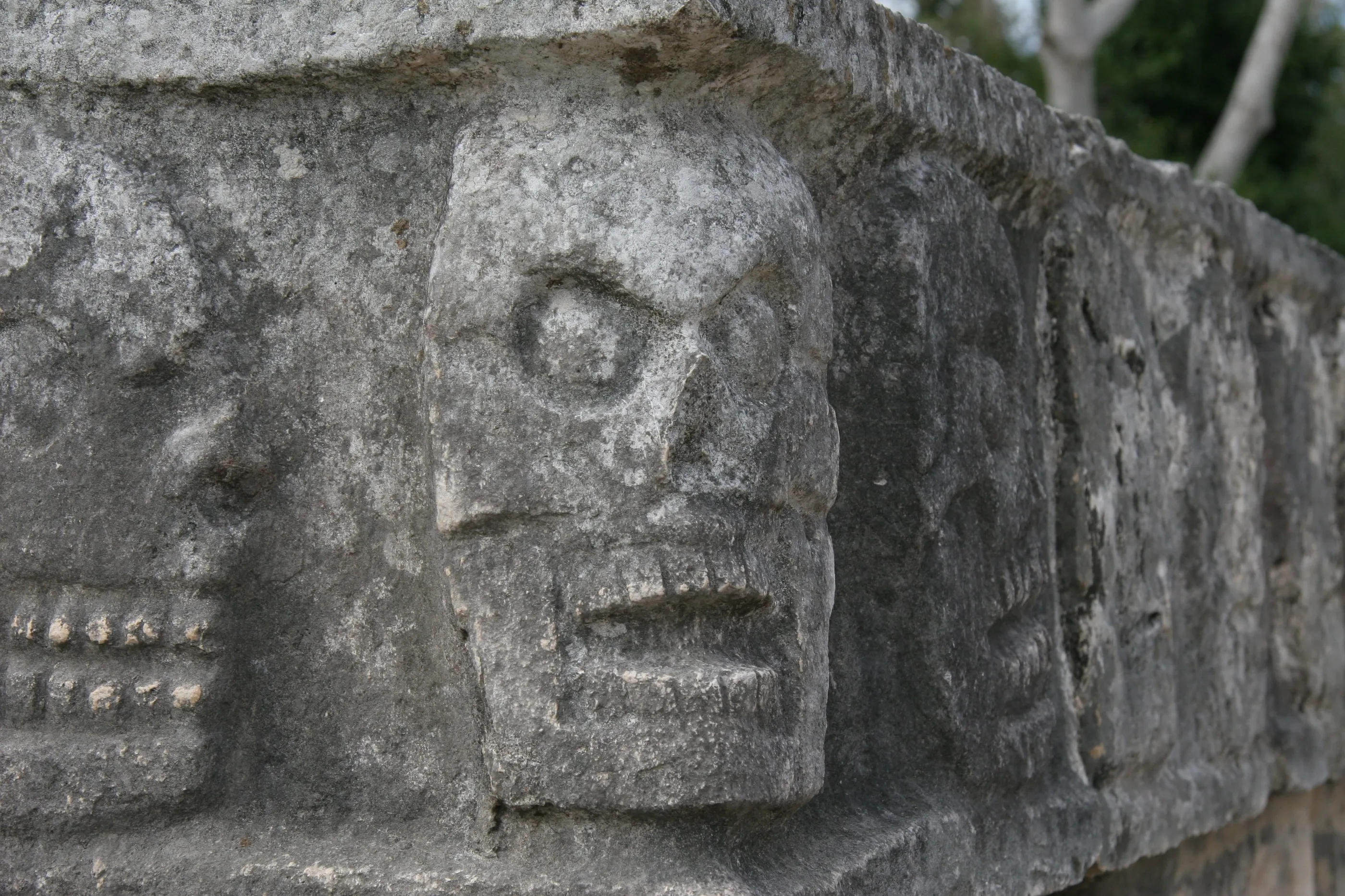
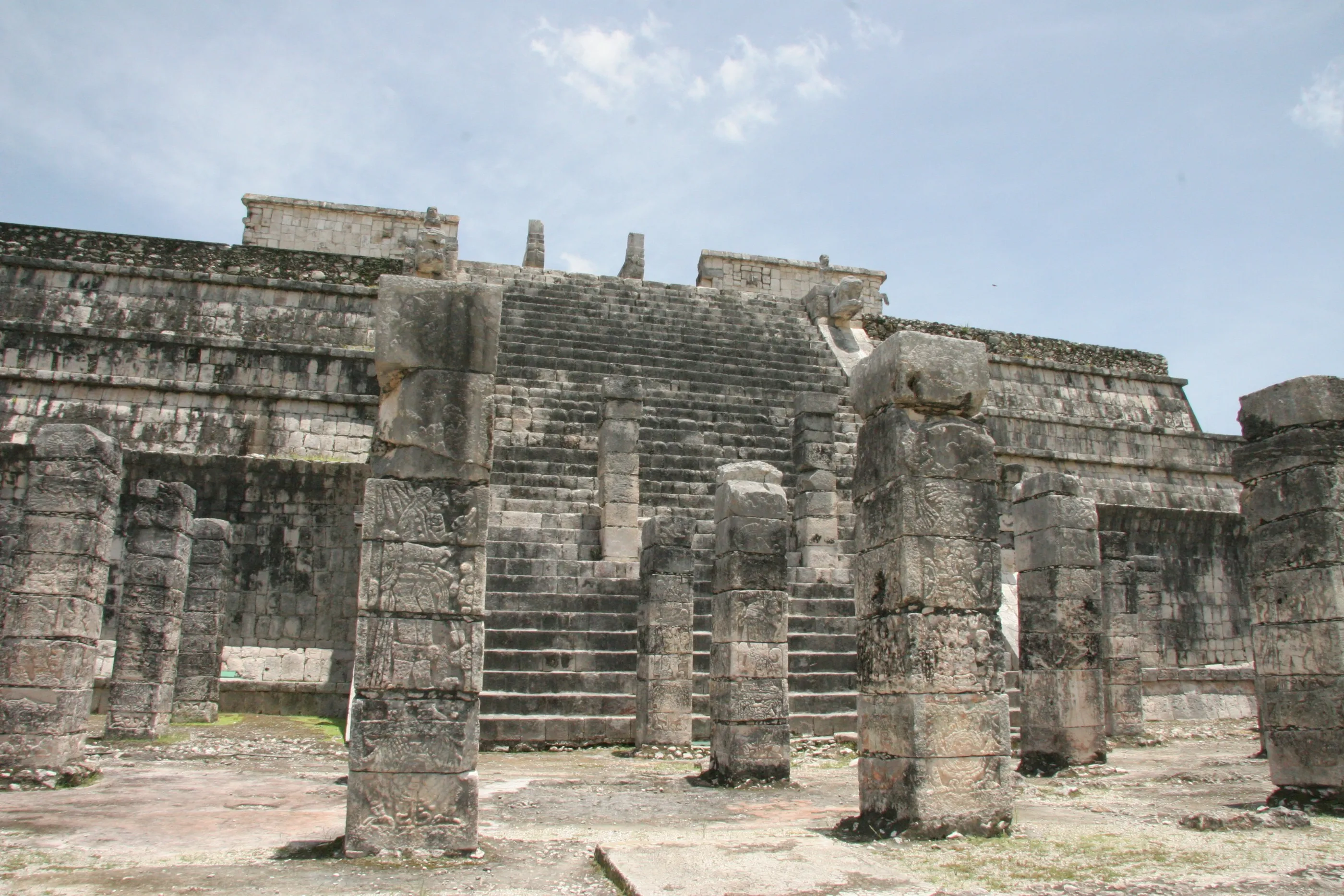
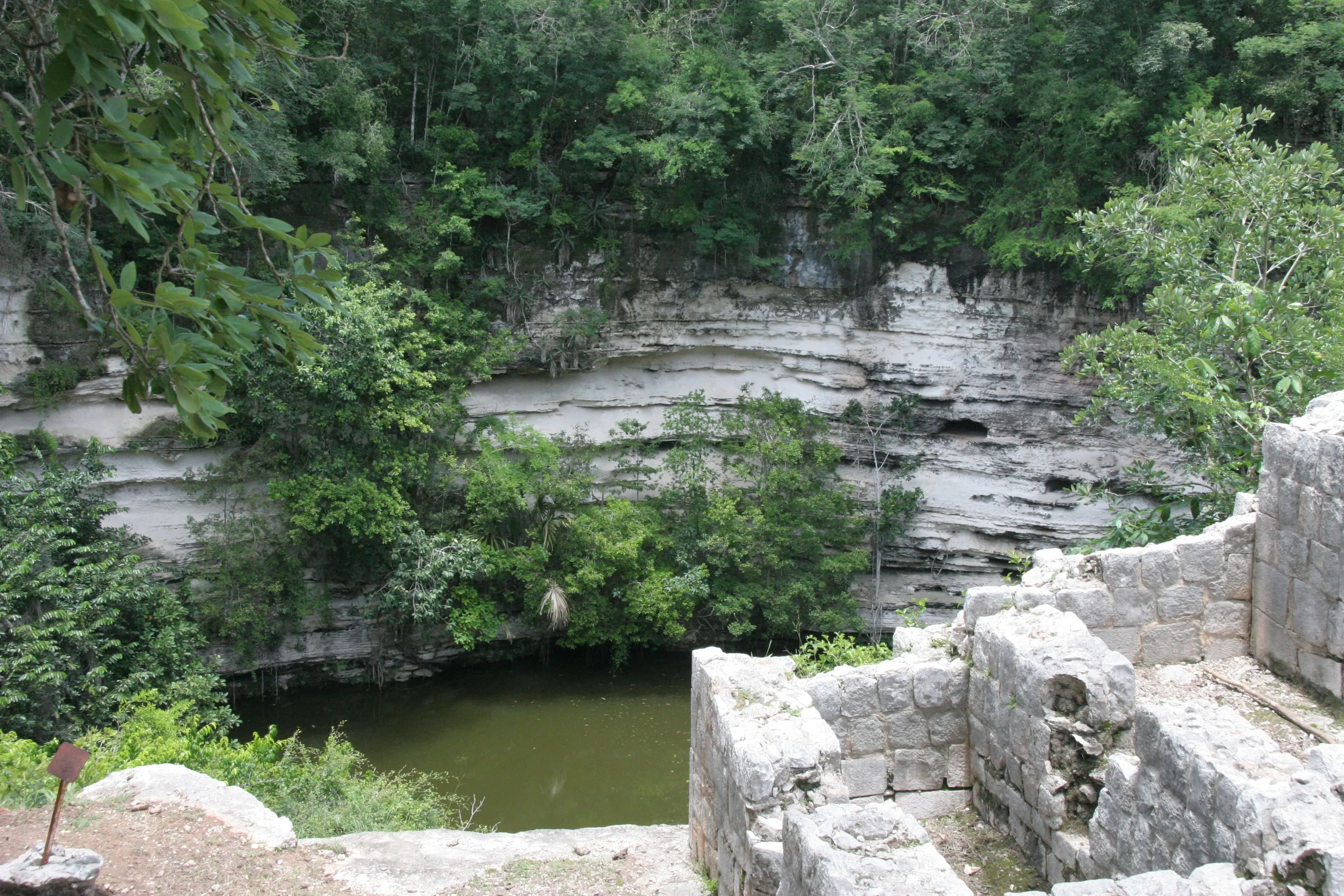
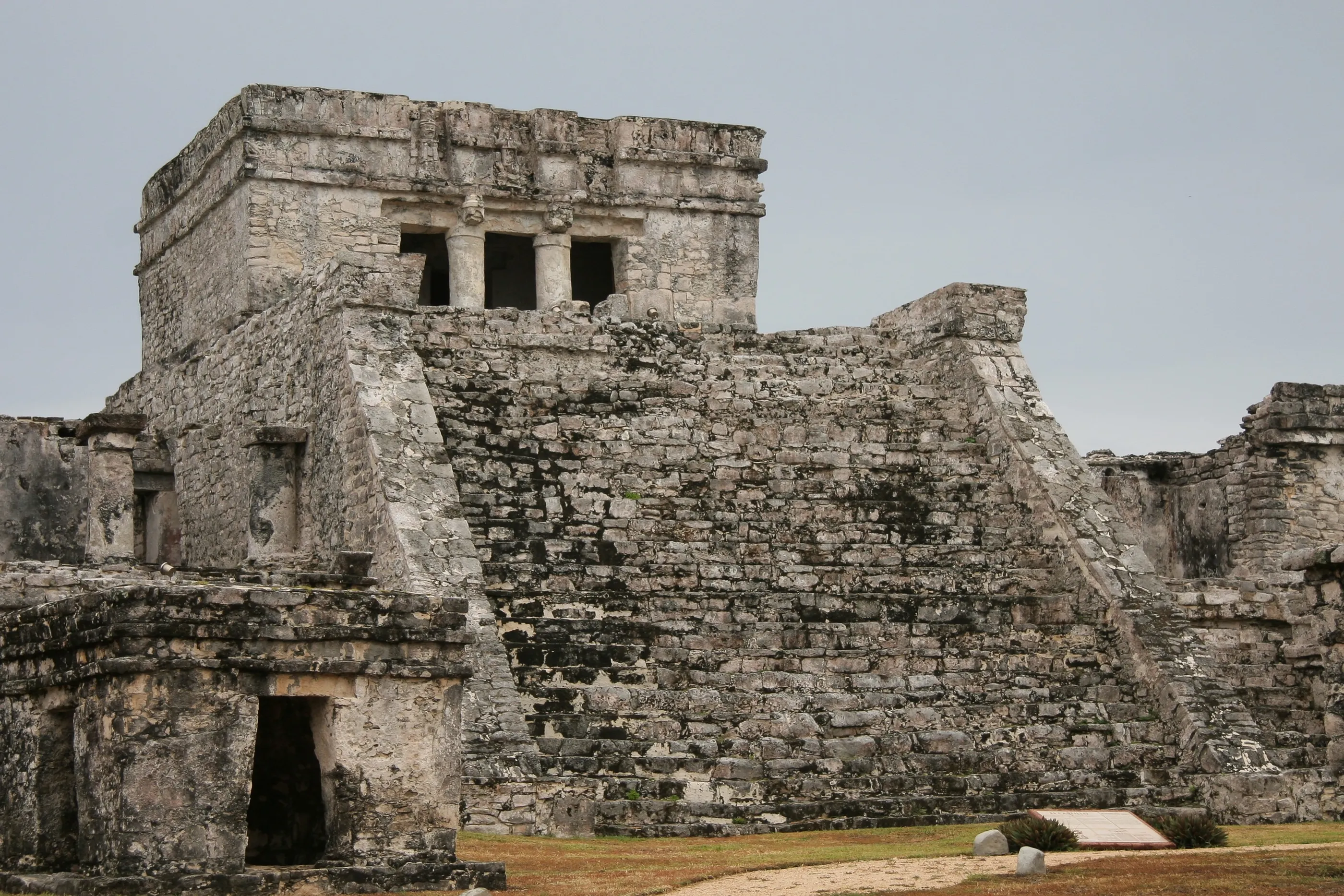
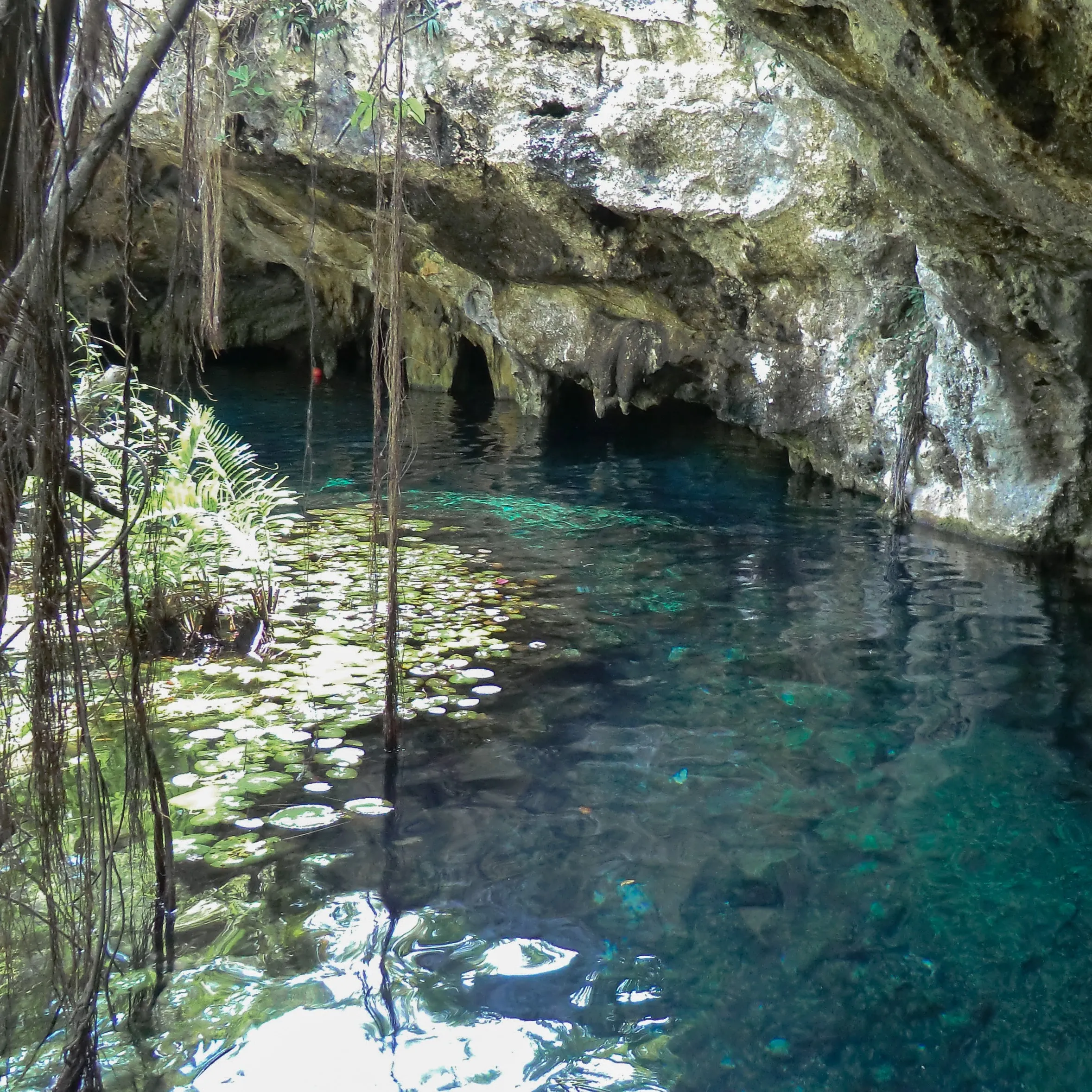
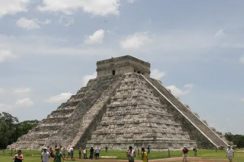
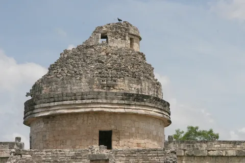
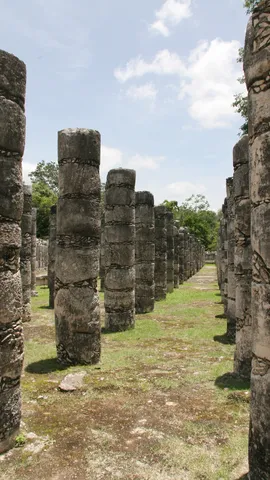
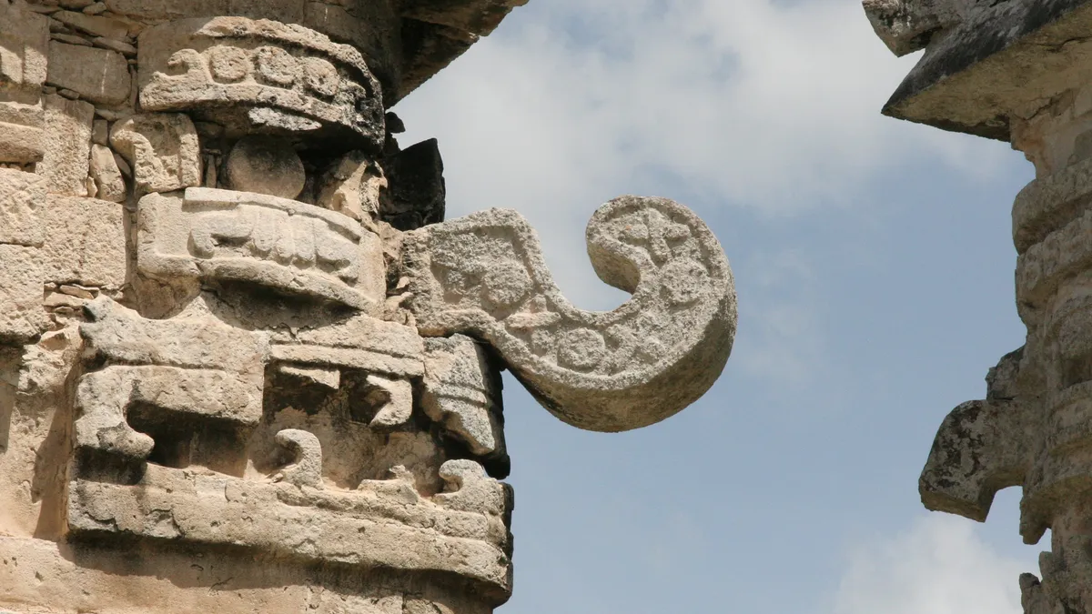
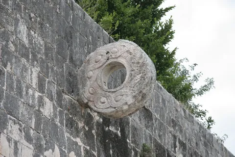
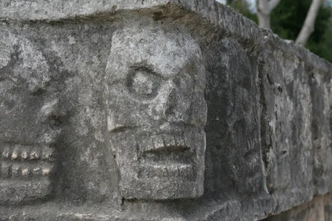
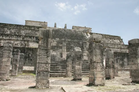
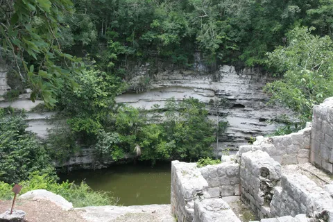
Chichén Itzá dominated the northern Yucatán between the 9th and 11th centuries, at the hinge of the Terminal Classic and the Postclassic. At the foot of El Castillo, the pyramid of Kukulcán, before the Caracol, a rare round building usually read as an observatory, or along the great ball court and the skull-carved tzompantli, I discovered in 2006 a hybrid architecture where Maya style mingles with influences from central Mexico. Five years later, my 2011 journey began here, as far as the edge of the Sacred Cenote.
By road↗ 130 km
Tulum, Quintana Roo
Mexico
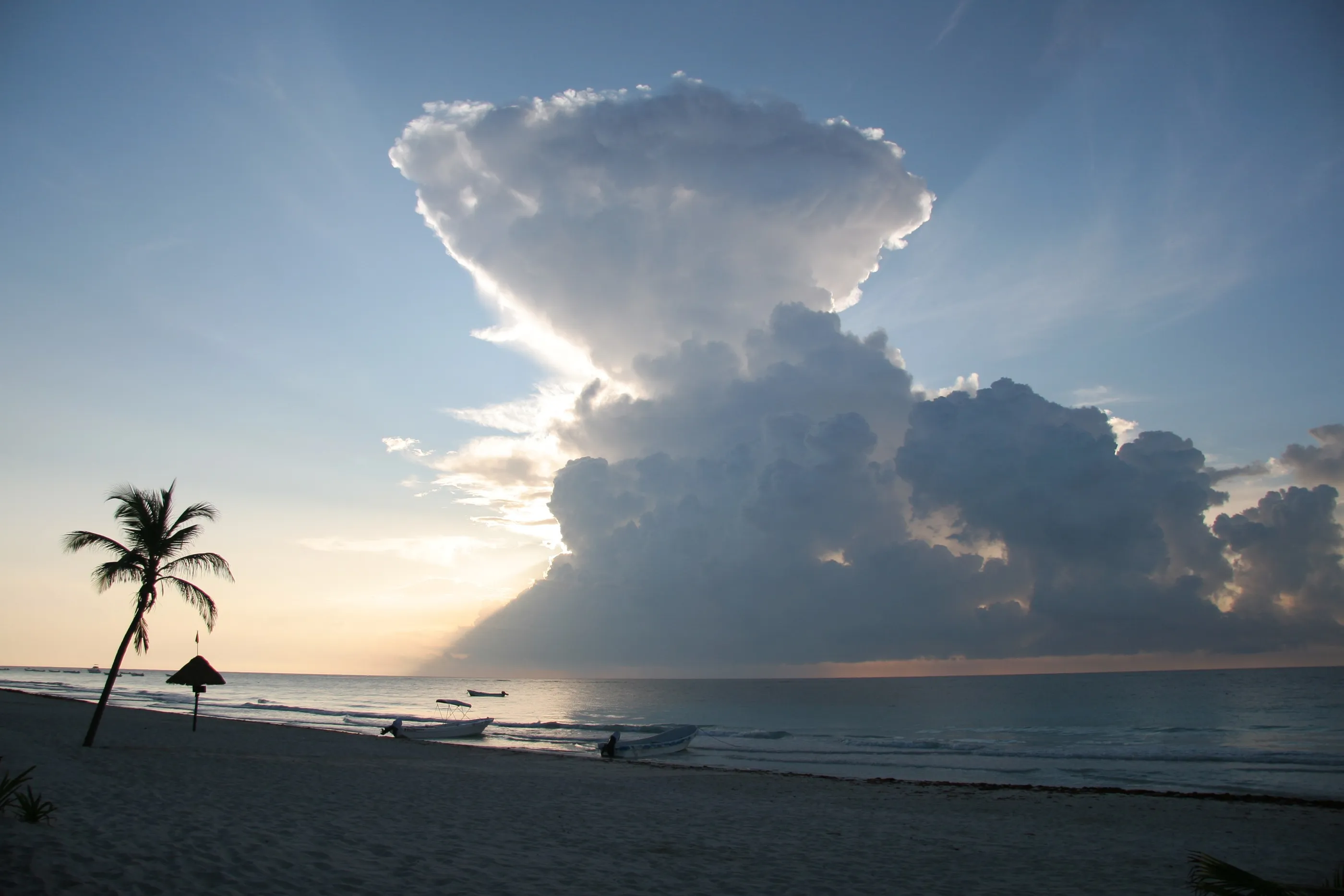
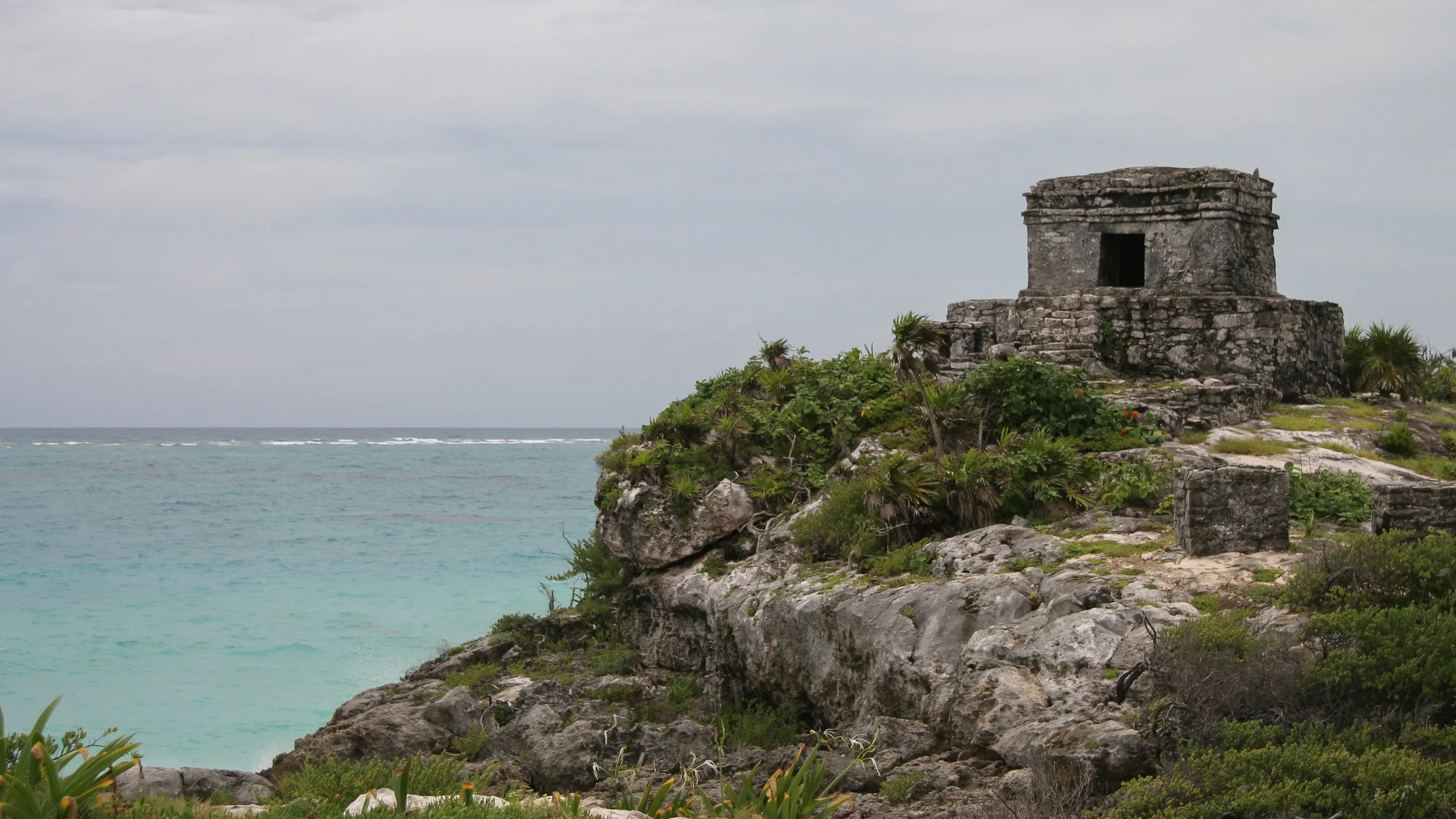
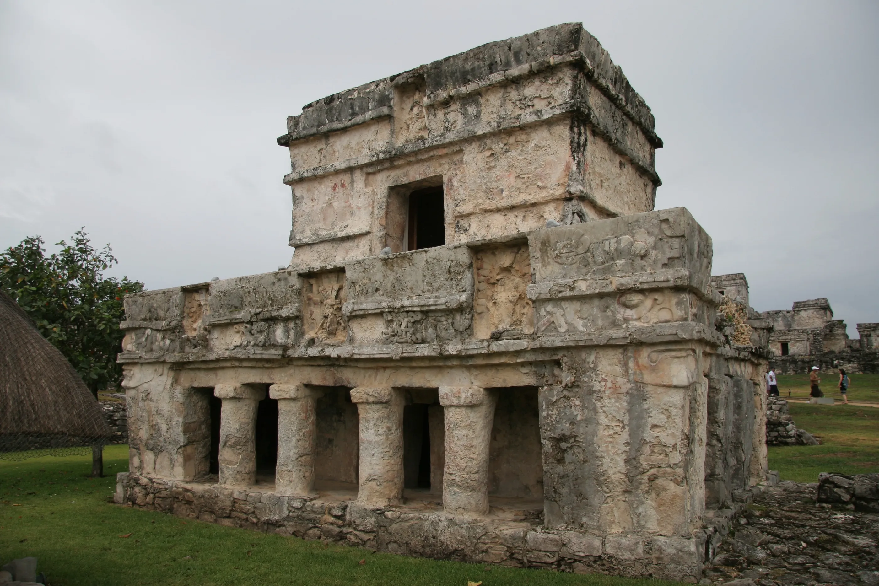
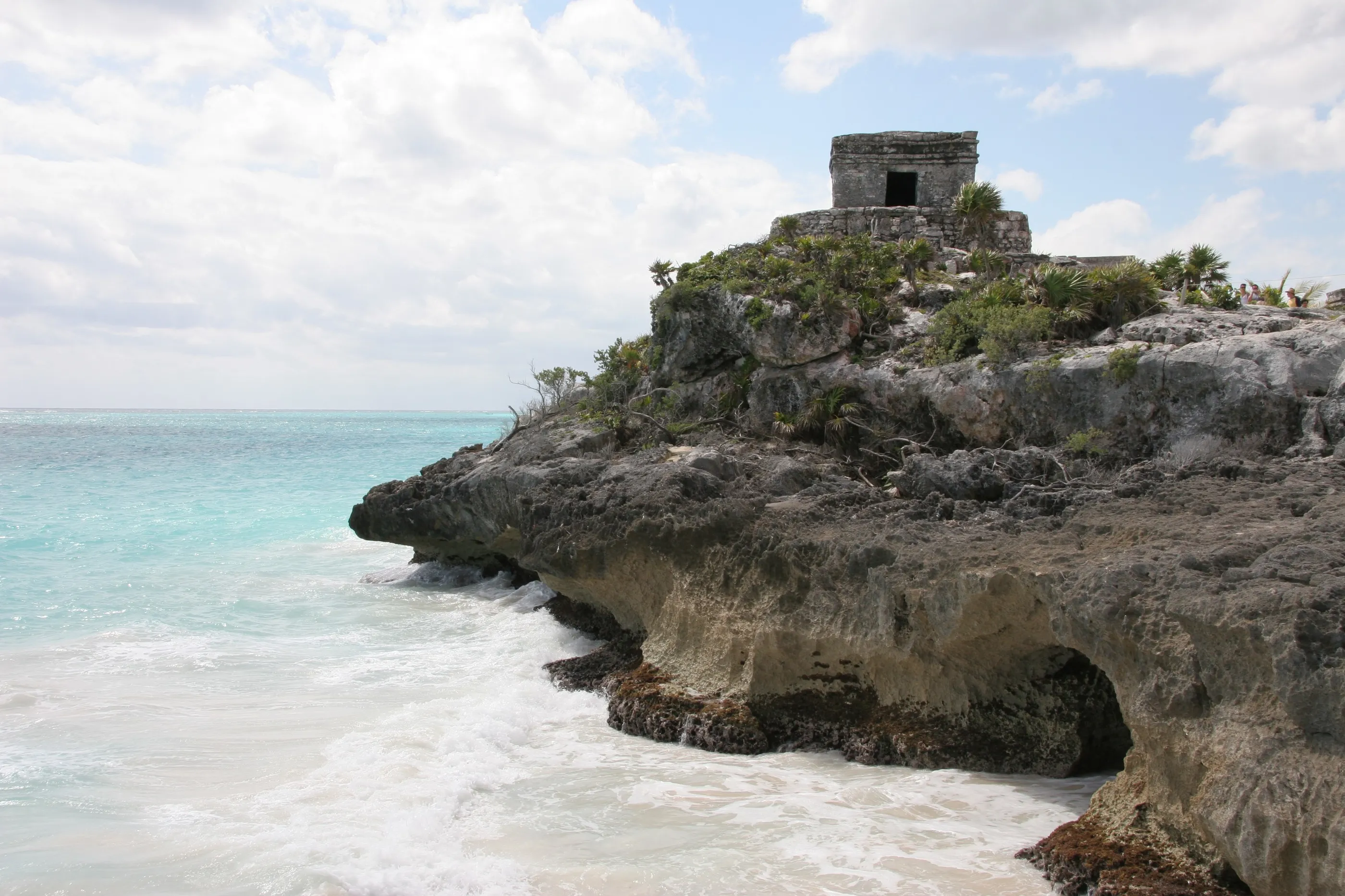
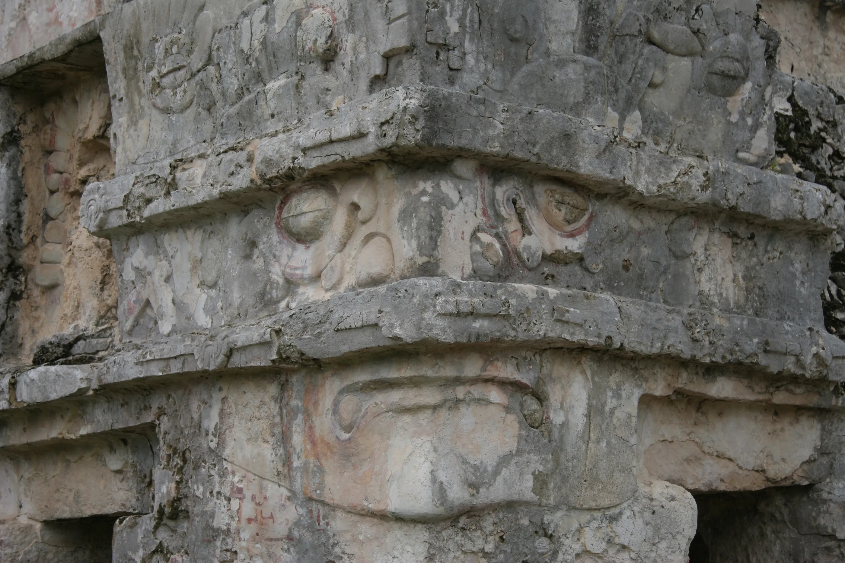
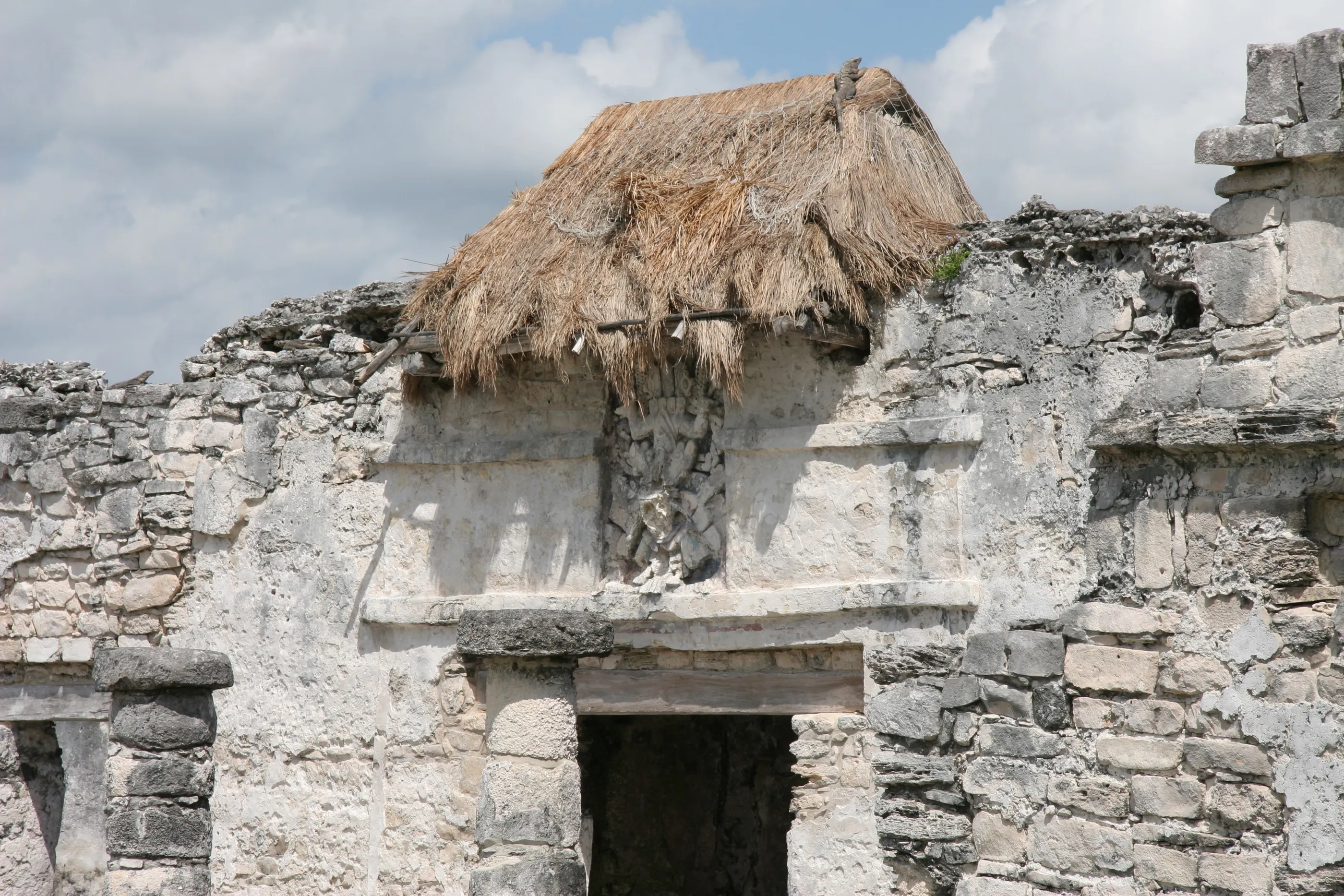
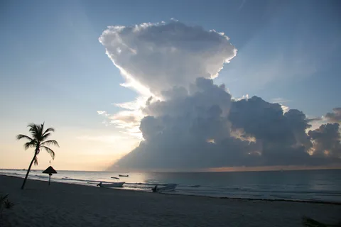
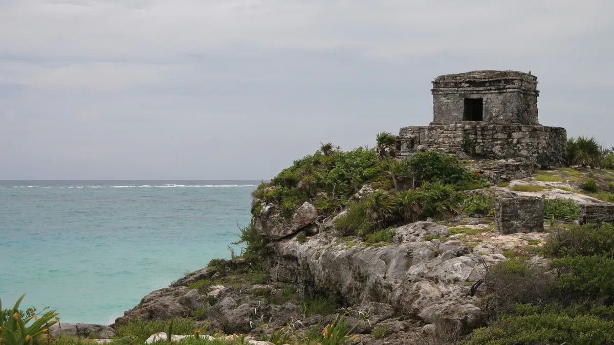
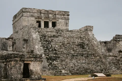
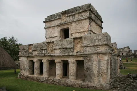
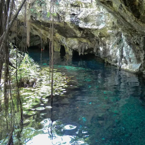
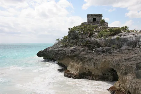
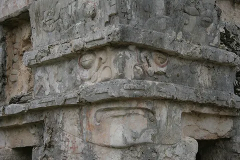
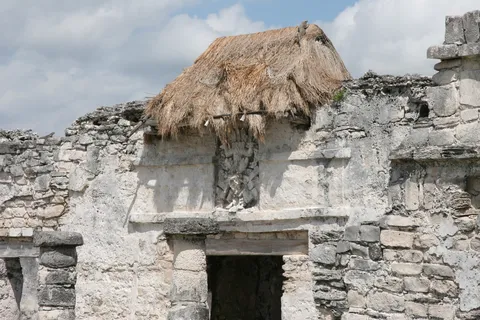
Perched on a cliff above the Caribbean, Tulum belongs to the last era of Maya civilisation, the Late Postclassic (13th–16th century). Walled on three sides, it was a port on the great coastal trade route that ran around the peninsula by canoe; the ‘descending god’ niches and the stucco masks of the Temple of the Frescoes still adorn its buildings. The Spaniards sighted it from the sea as early as 1518; I saw it in sunshine in 2006, under a stormy sky in 2011.
By plane↗ 343 km
Calakmul, Campeche
Mexico
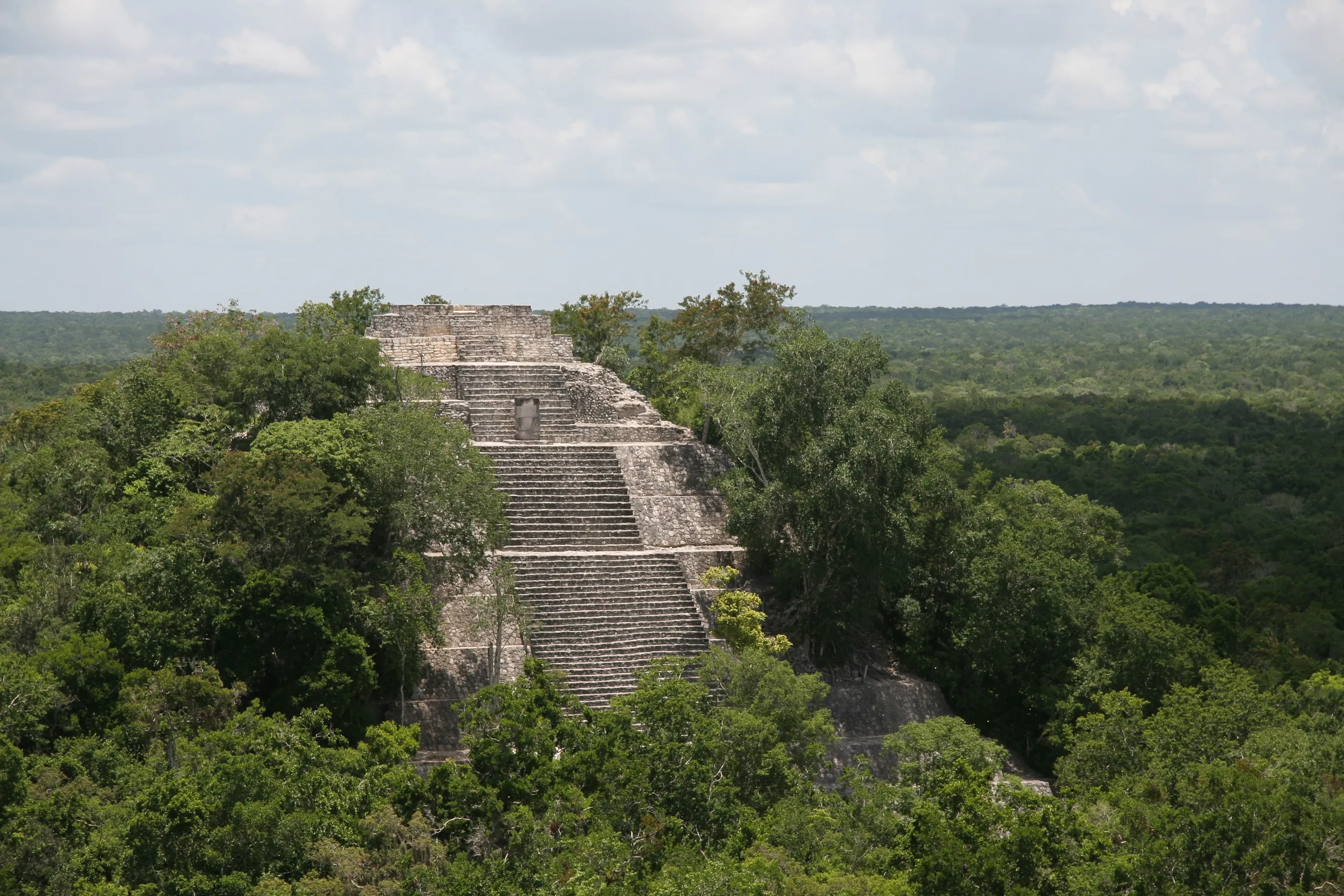
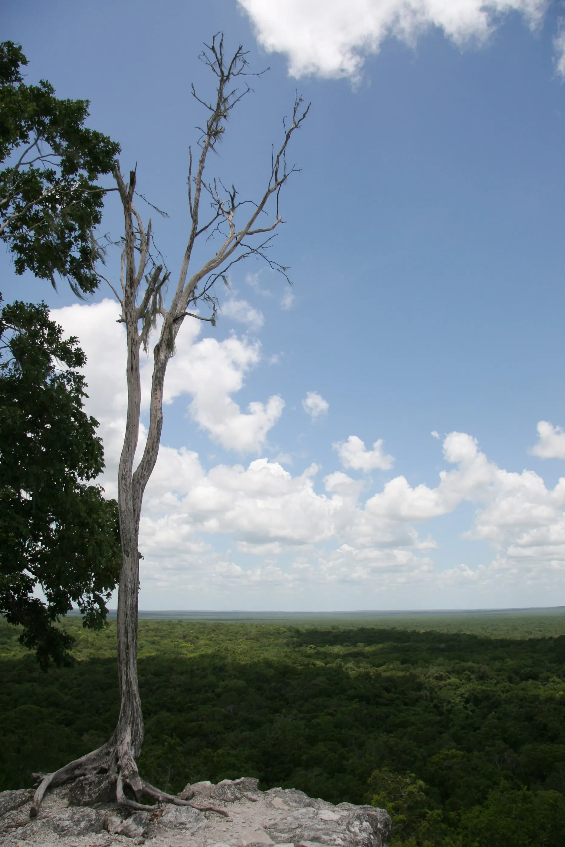
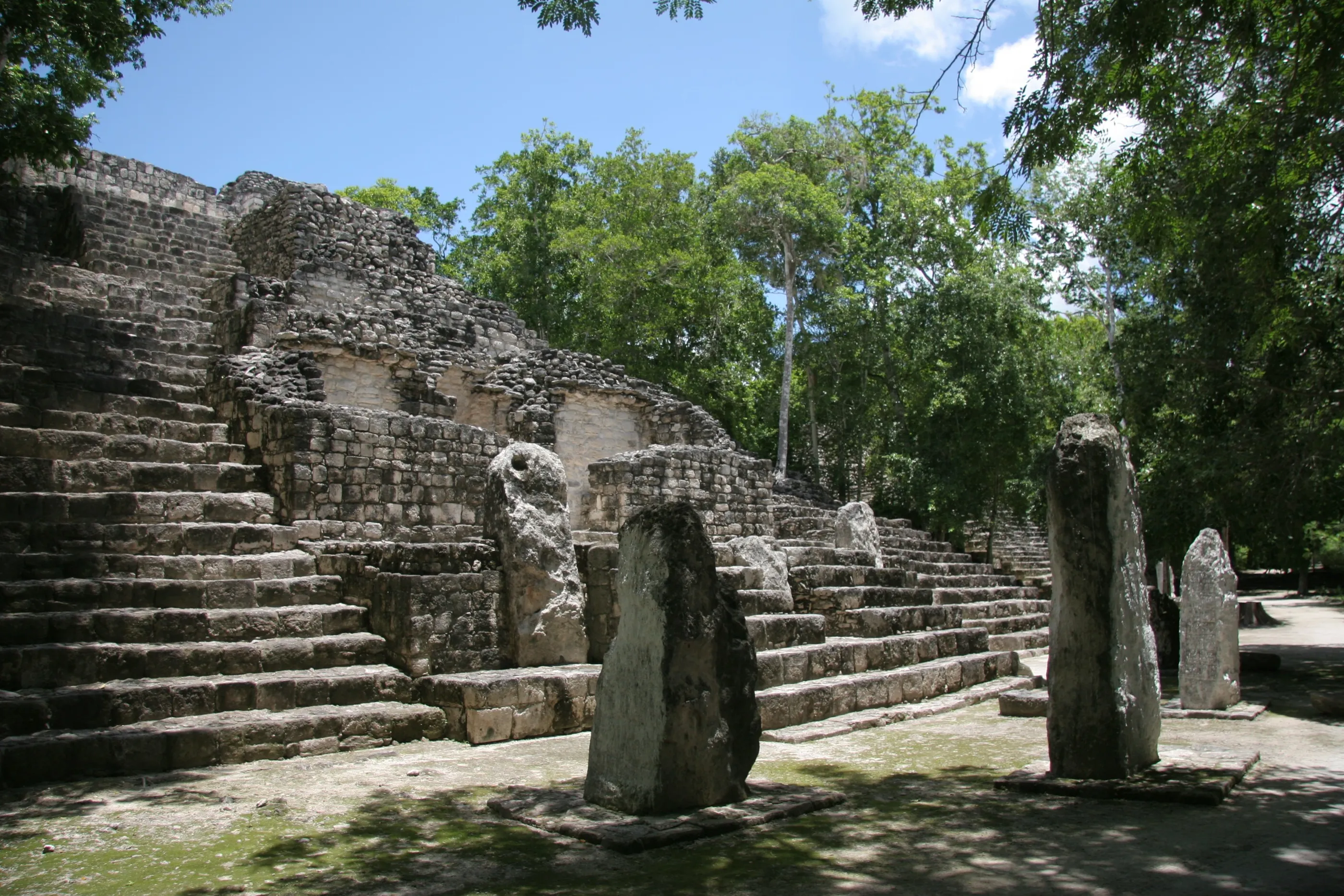
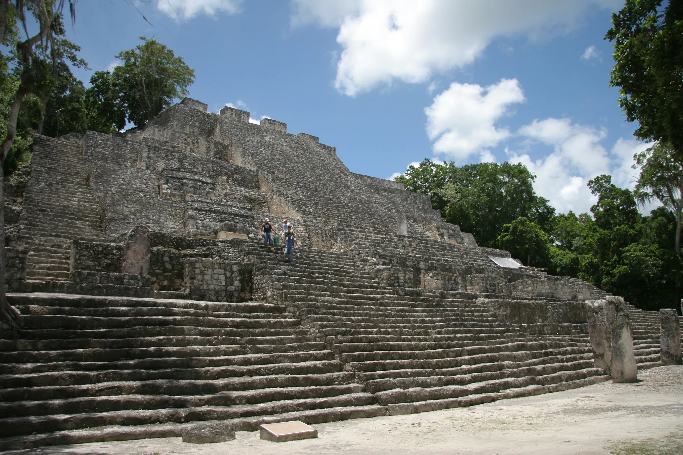
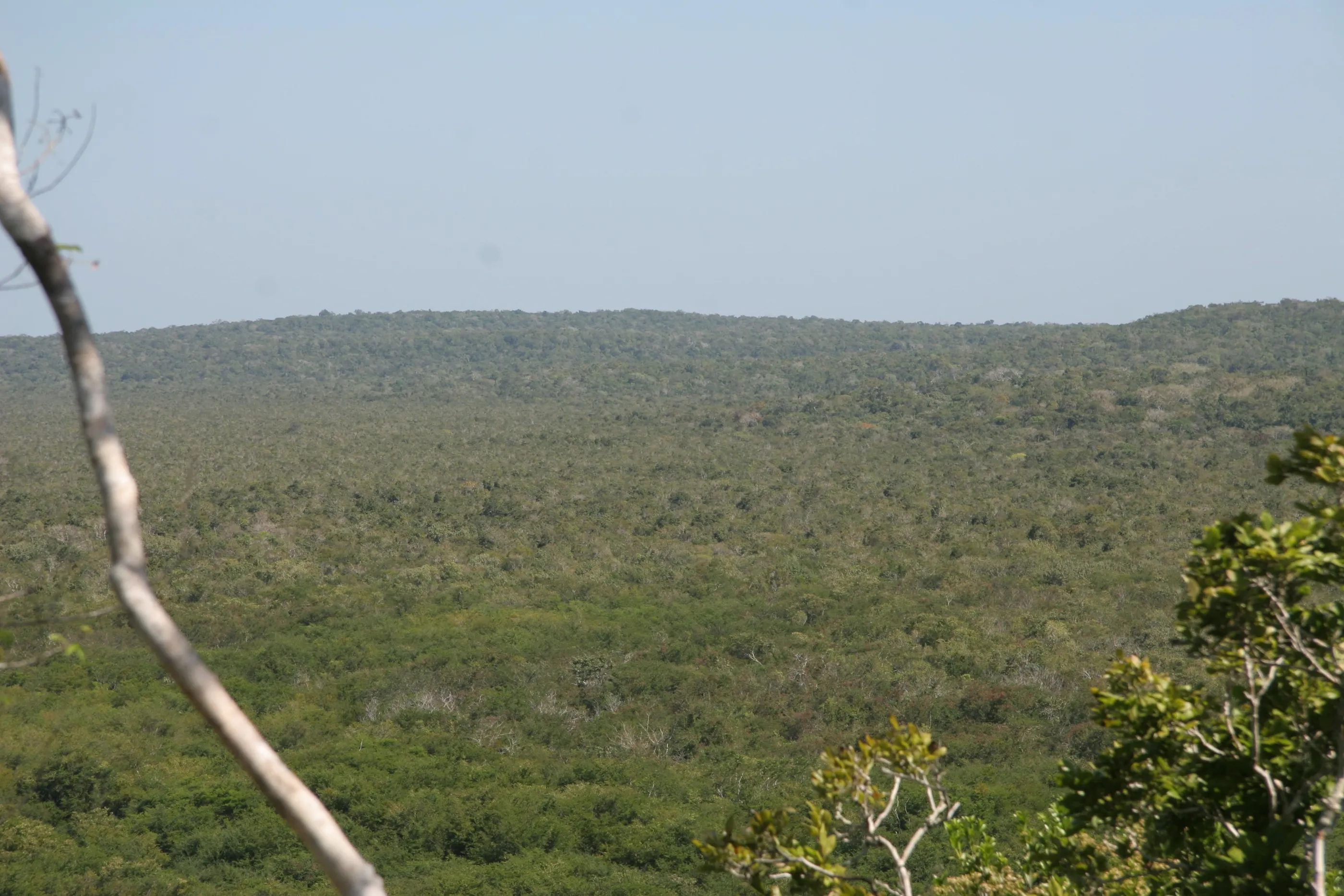
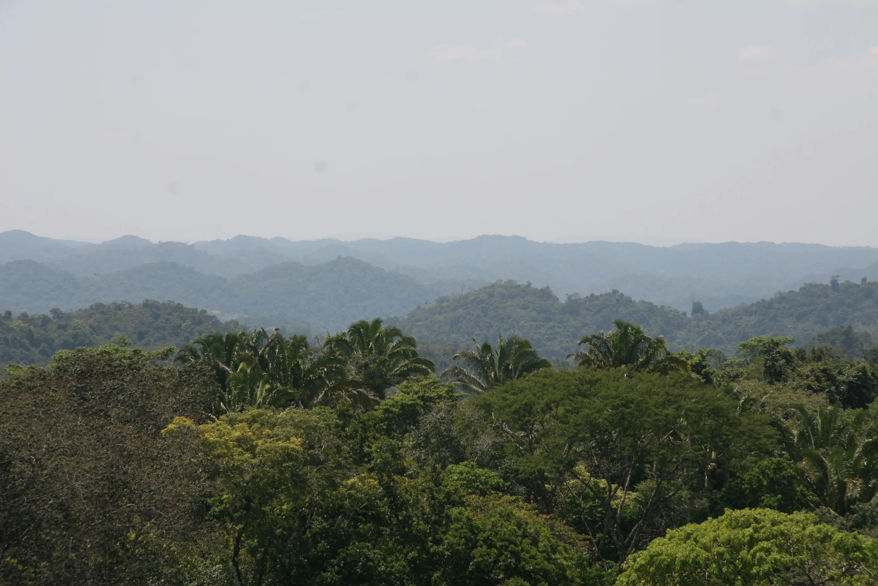
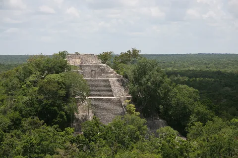
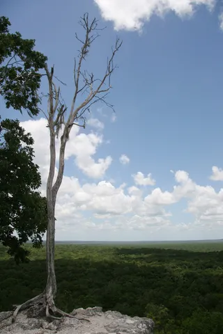
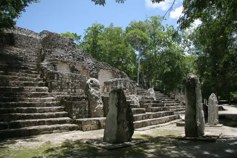
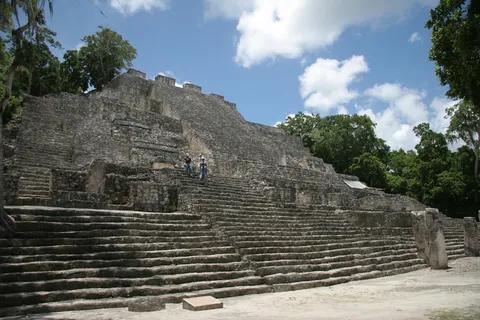
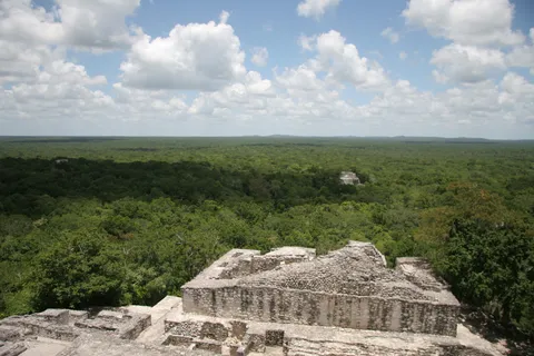
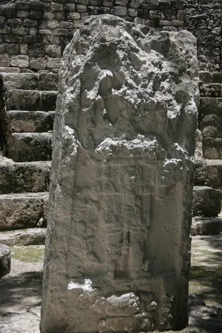
August 2011, just before my Master’s: I return to Mexico with a student’s eye. In the heart of a vast biosphere reserve, Calakmul was the capital of the Kaanul, the ‘Snake dynasty’, Tikal’s great rival during the Classic period; its plazas bristle with stelae. From the top of Structure II, one of the most massive Maya pyramids, the forest stretches unbroken to Guatemala’s Petén where, two years later, I would excavate Naachtun, a city caught between these two powers.

By road↗ 205 km
Bonampak, Chiapas
Mexico
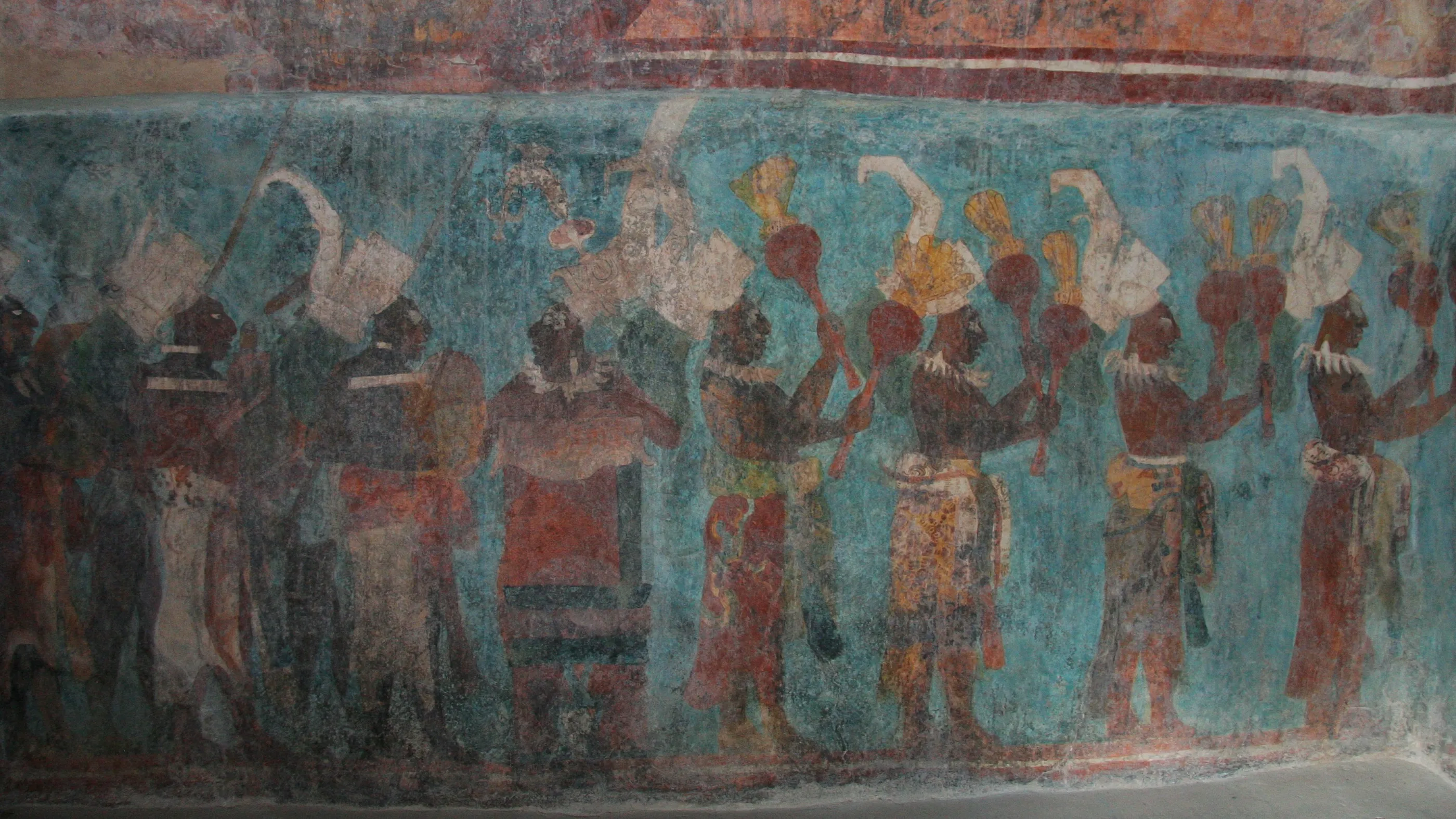
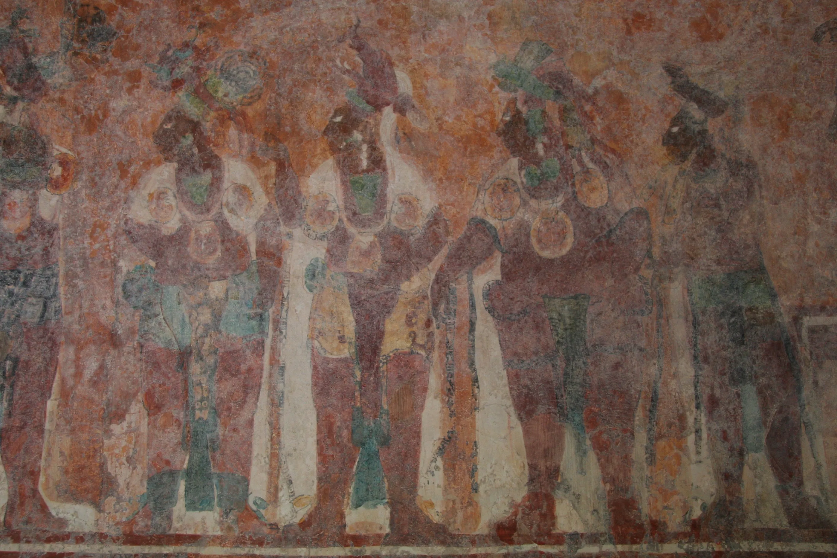
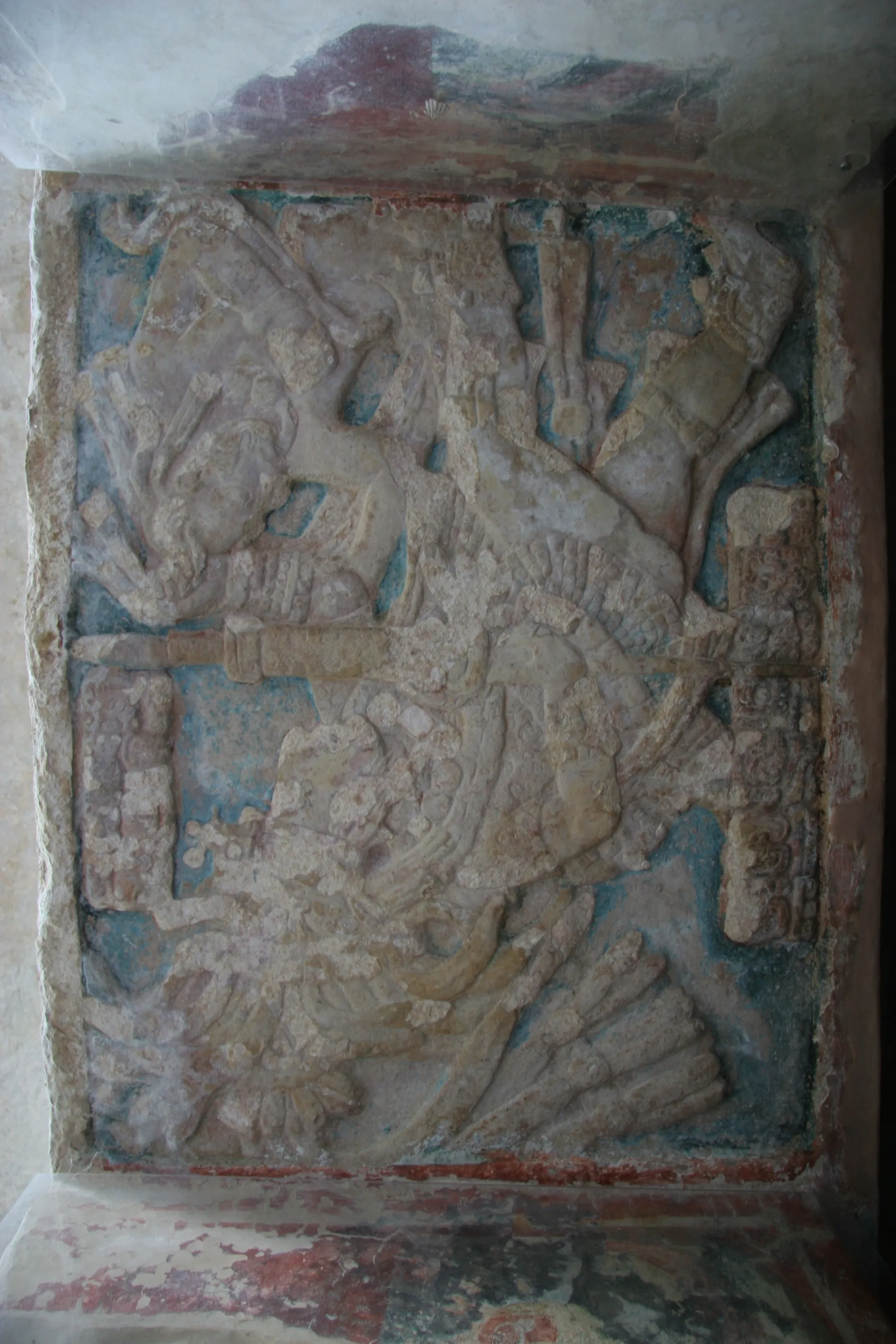
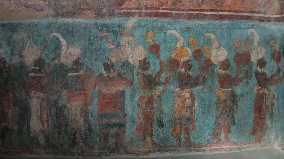
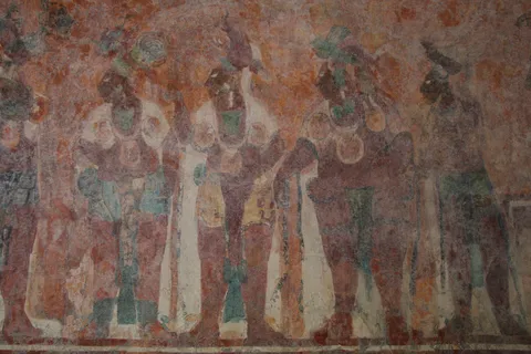
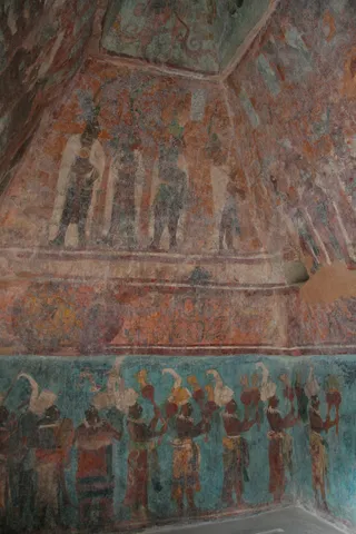
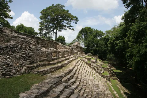
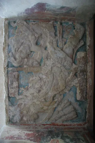
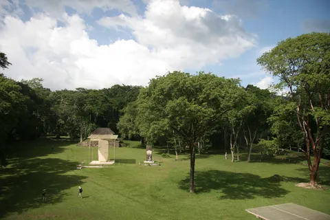
The same day, in the Lacandon forest, Bonampak, a small city in Yaxchilán’s orbit, holds a unique treasure: the murals of the three rooms of Structure 1, painted around 790. Royal court, battle, sacrifice of captives, dancers and musicians: the Classic Maya had never been seen in such detail before the murals were revealed to outsiders in 1946. Before these colours, the world of inscriptions I was studying suddenly came to life.
By boat↗ 24 km
Yaxchilán, Chiapas
Mexico
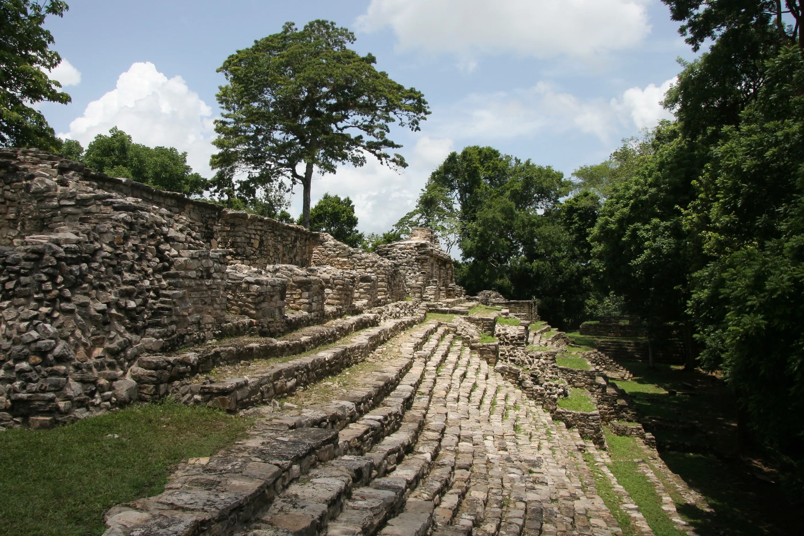
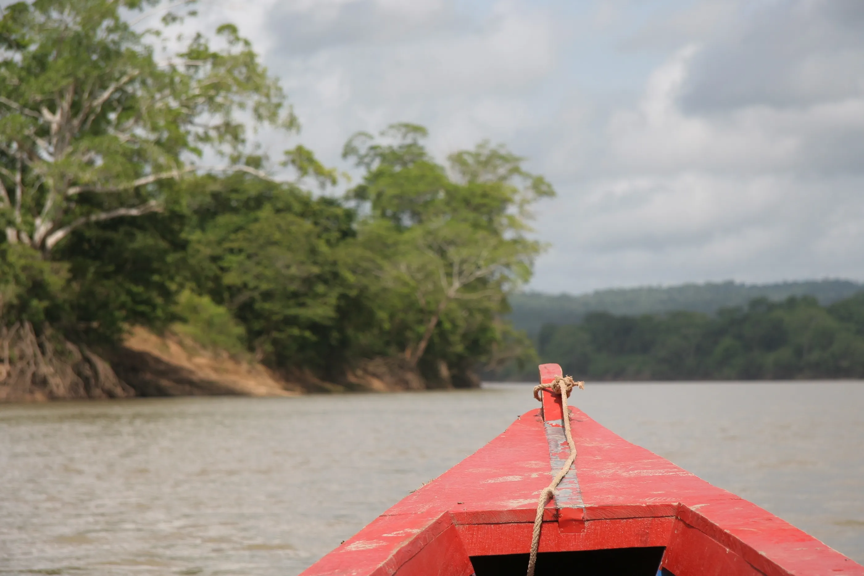
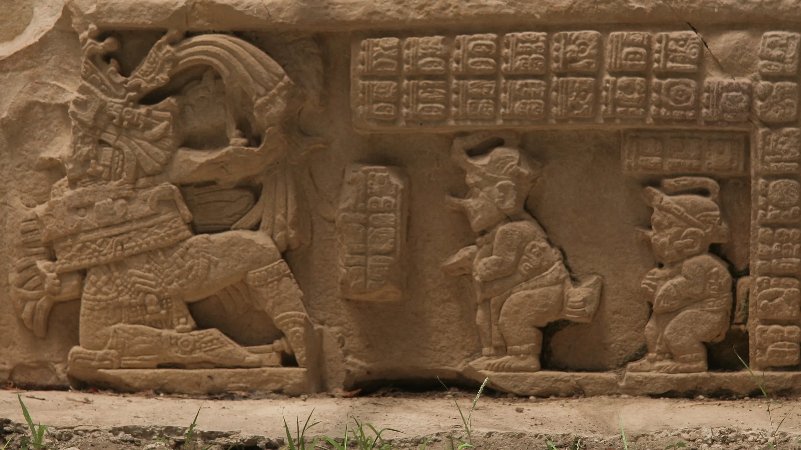
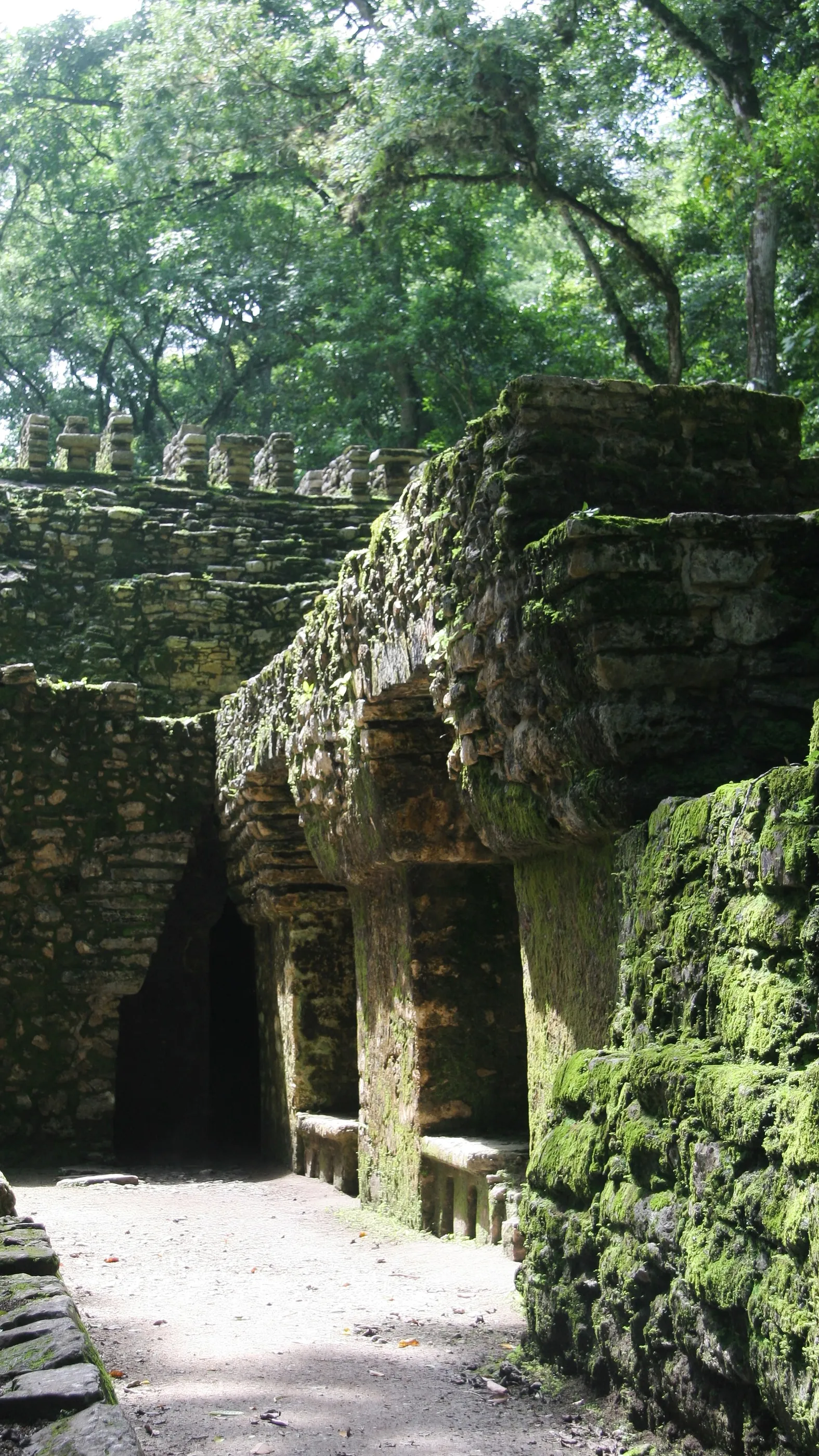
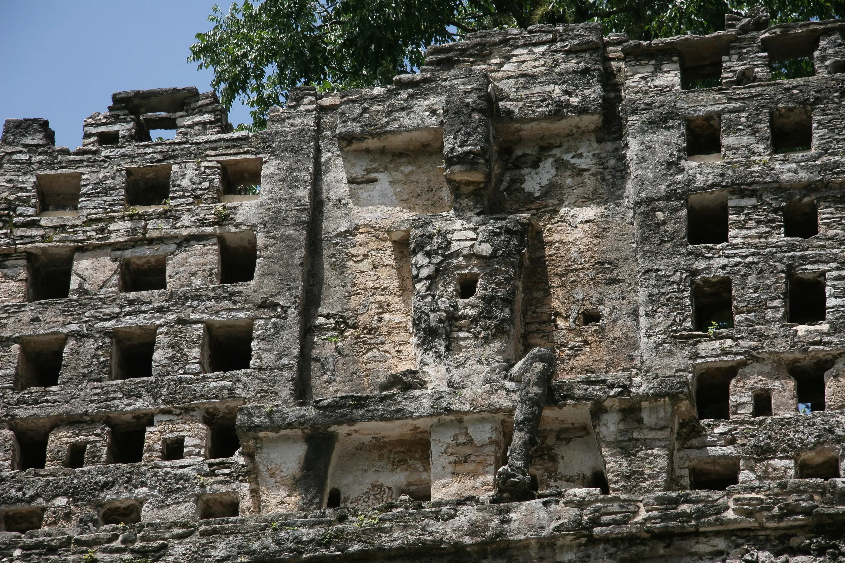
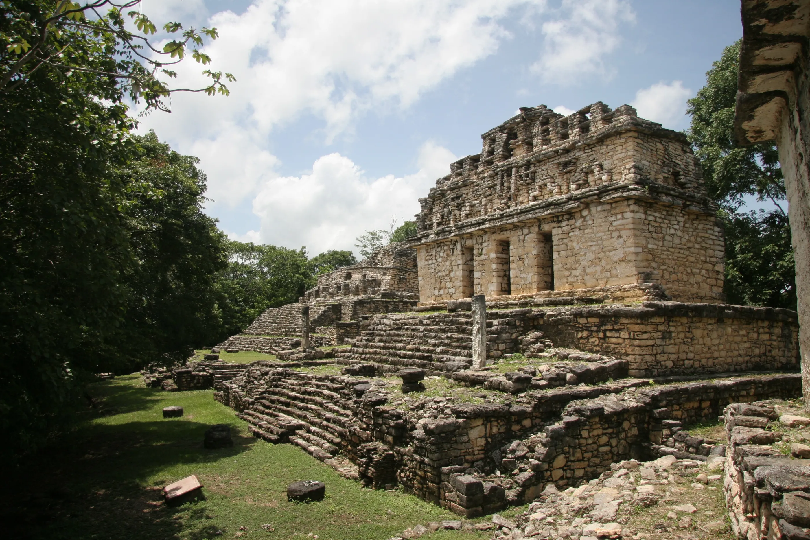
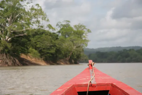
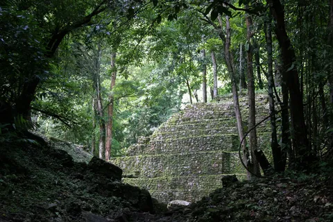
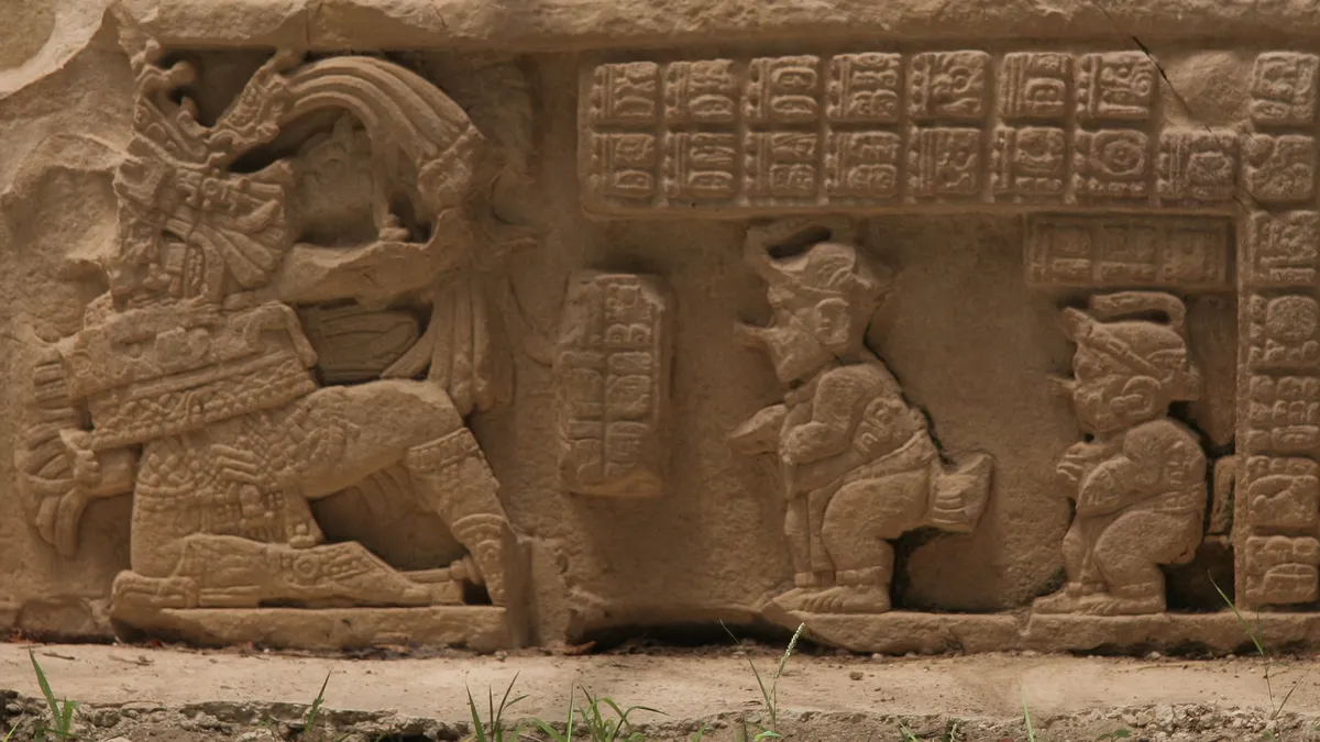
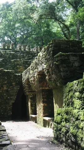
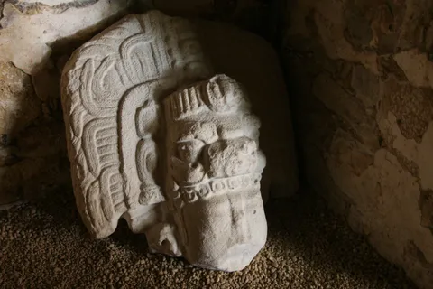
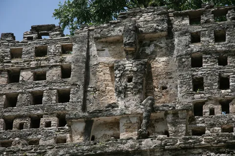
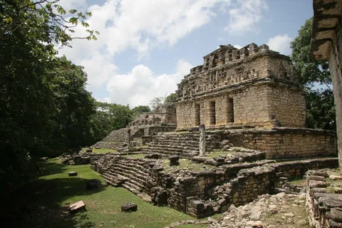
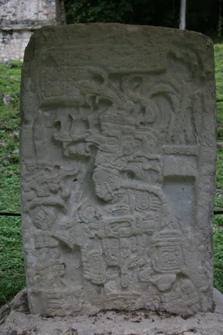
Yaxchilán can only be reached by lancha, up the Usumacinta, the river that now divides Mexico from Guatemala and in one of whose meanders the city lies. Its carved lintels, commissioned notably by the kings Itzamnaaj Bahlam III and Yaxuun Bahlam IV in the 8th century, rank among the finest Maya reliefs, with their ritual scenes and long dynastic inscriptions.
By plane↗ 163 km
Naachtun, Petén
Guatemala
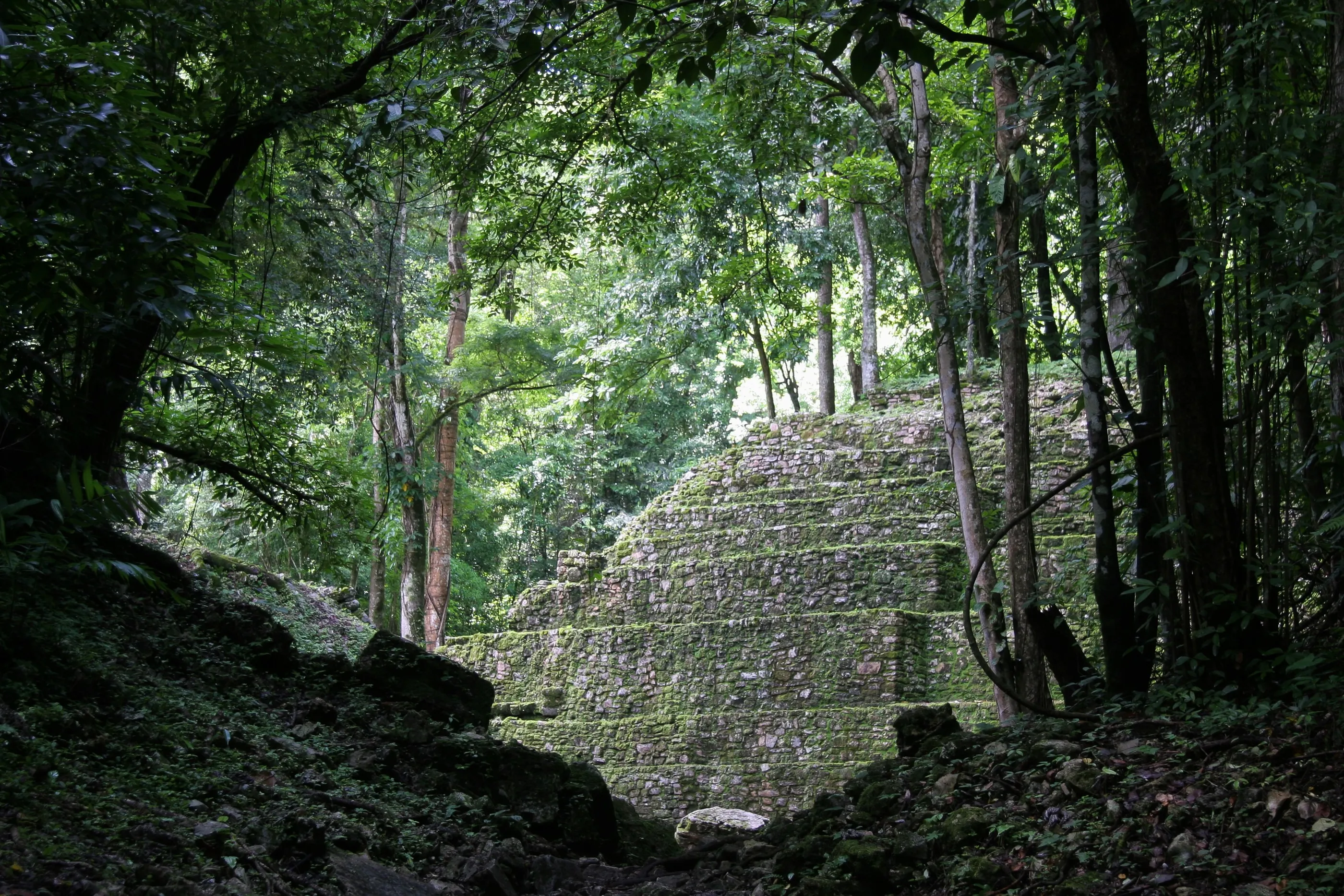
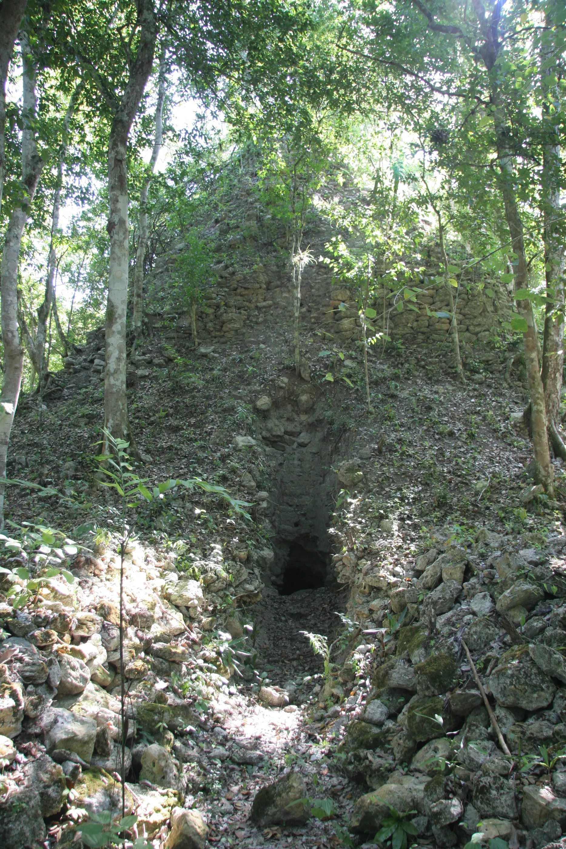
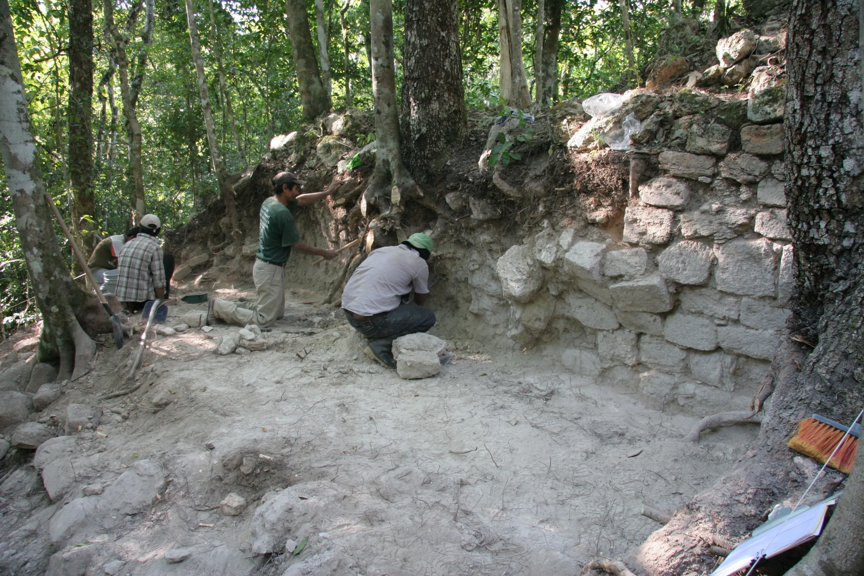
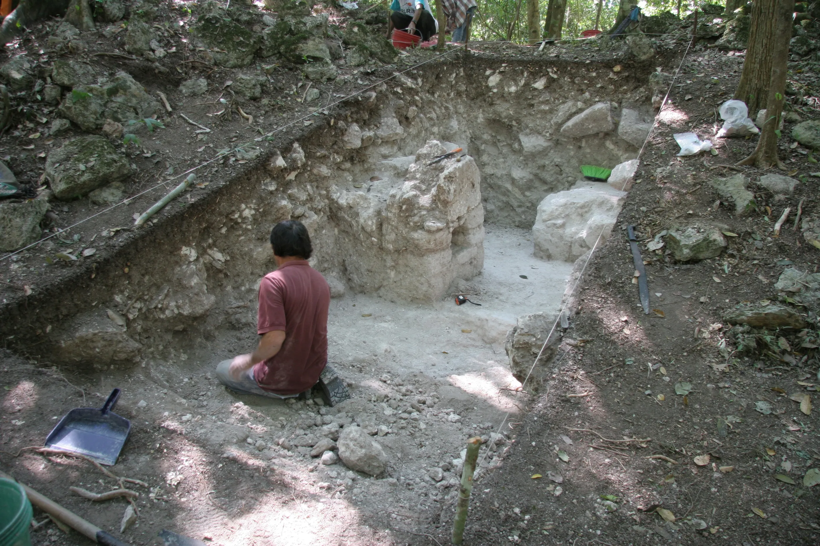
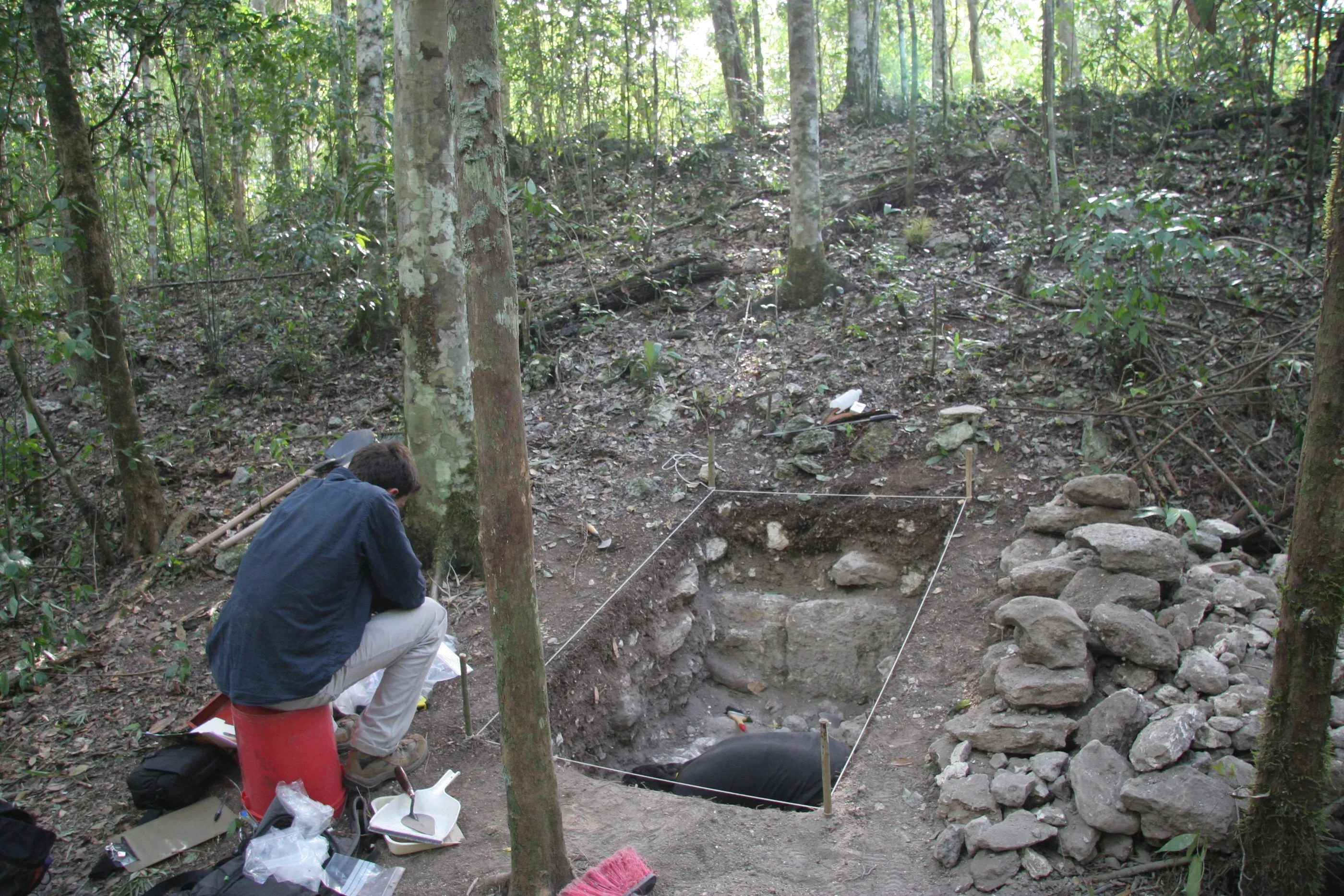
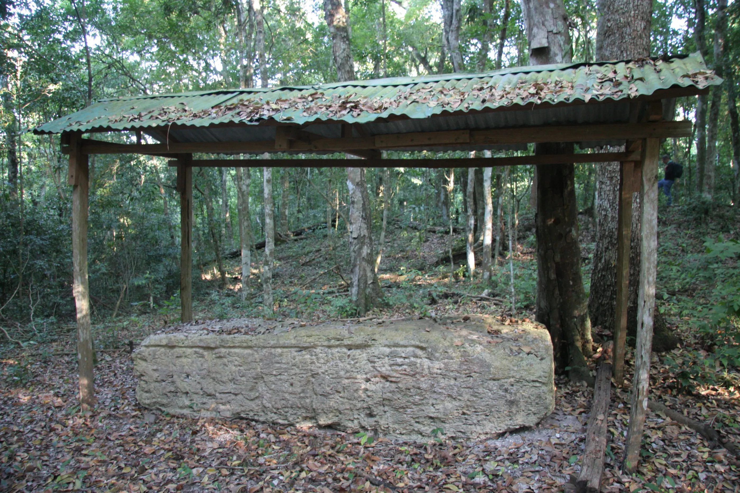
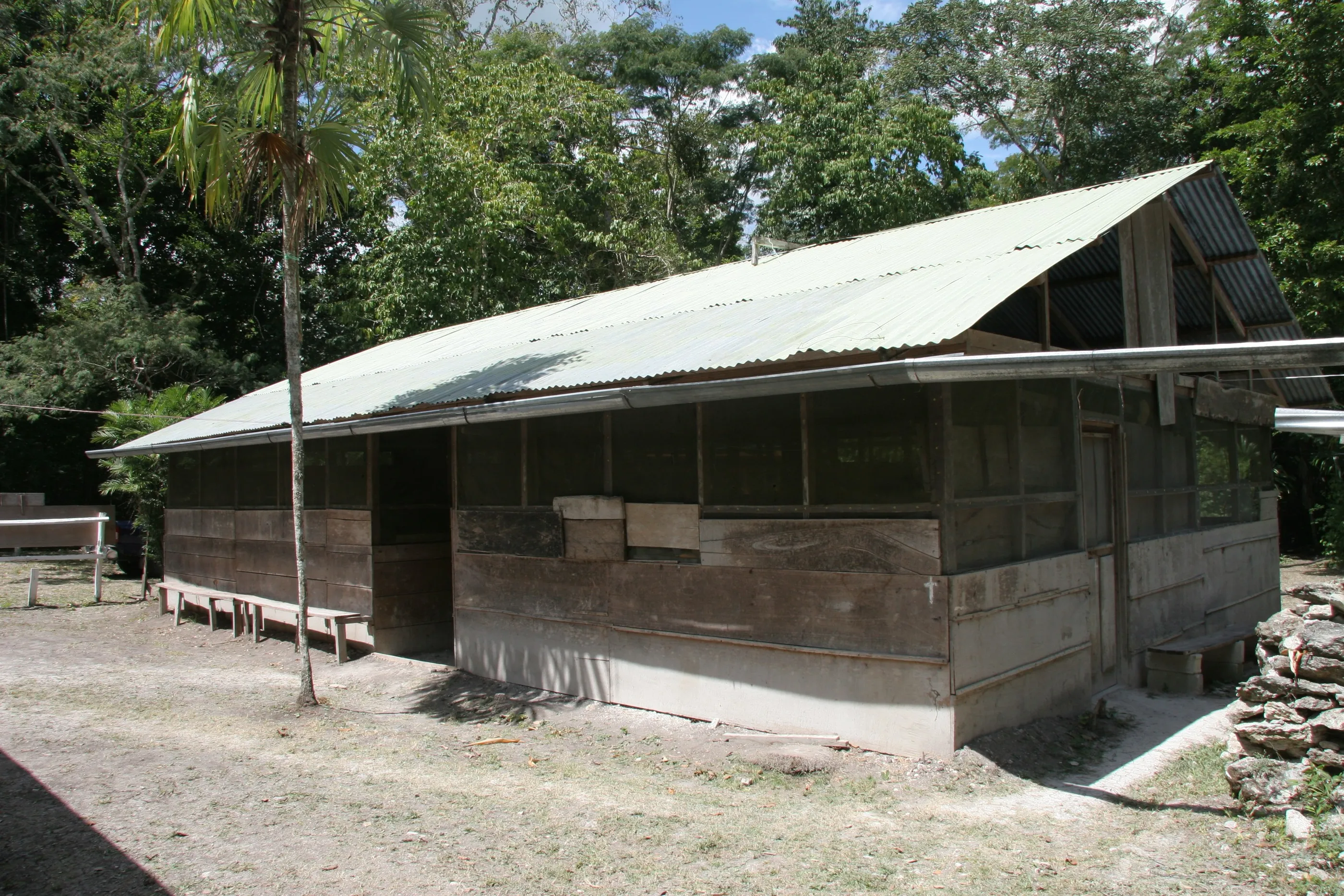
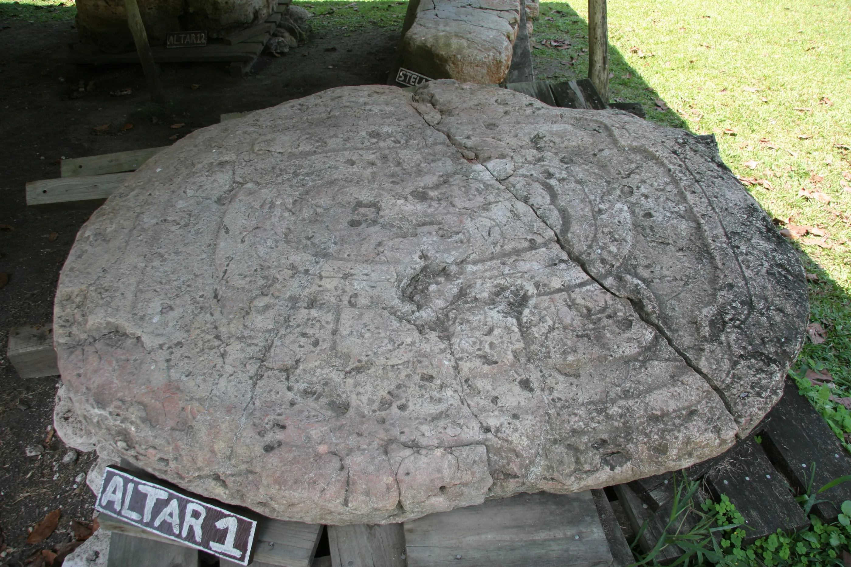
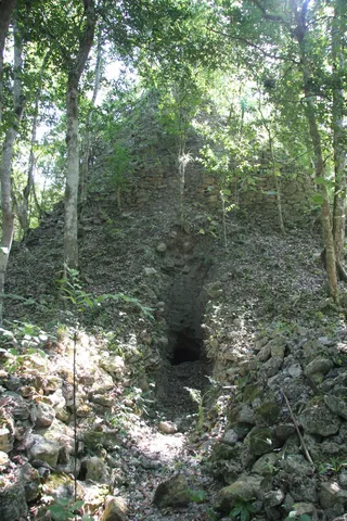
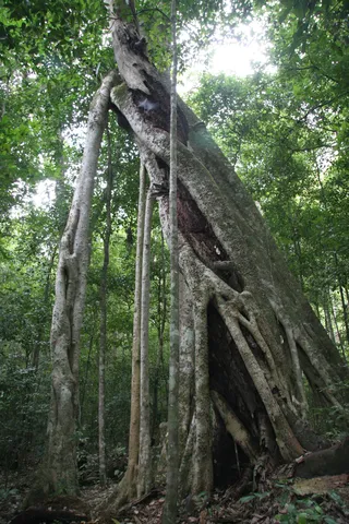
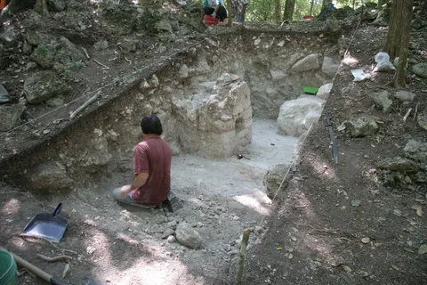
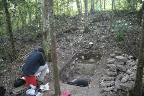
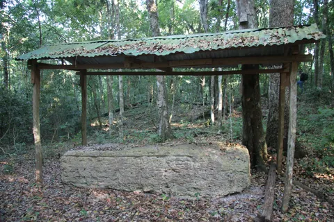
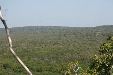
The heart of this expedition. In March 2013, during my Master’s, I took part in the excavations of the French-Guatemalan project at Naachtun, a lost Classic city in northern Petén, a few kilometres from the Mexican border, halfway between the great rivals Tikal and Calakmul. It takes hours of pickup track from Uaxactún to reach the camp, with its wooden huts and its aguada. Occupied for some eight centuries, the city provided the material for my second thesis: stratigraphic test pits, walls cleared at the foot of buildings, stelae and altars under their shelters, mapping of mounds in the forest — and everywhere the looters’ tunnels gutting the structures. No tourists here: just the forest, the team and the slow, meticulous work of archaeology.


By road↗ 43 km
Uaxactún, Petén
Guatemala
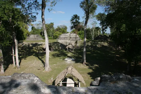
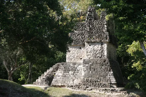
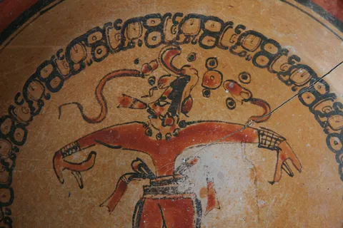
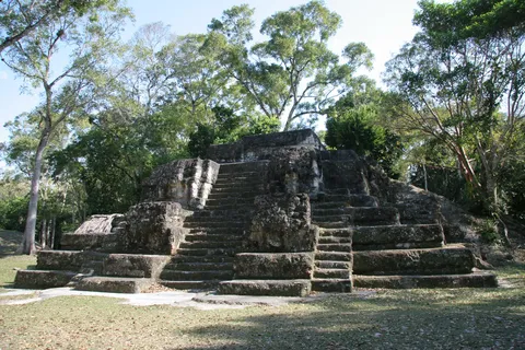
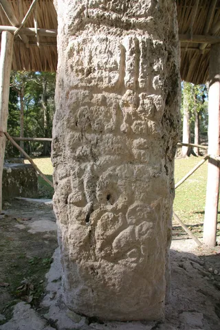
On the way back down the track, Uaxactún, one of the first Maya sites to be systematically excavated, by the Carnegie Institution in the 1920s–30s. Its Group E — a pyramid facing a platform with three temples aligned on the sunrises of the solstices and equinoxes — gave its name to a whole family of Preclassic ‘astronomical’ complexes. Tikal’s neighbour, the city fell under its control at the end of the 4th century.

By boat↗ 125 km
Aguateca, Petexbatún
Guatemala
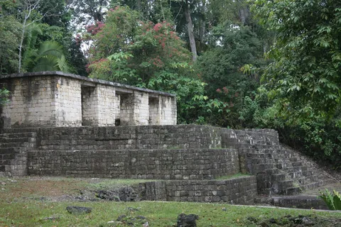
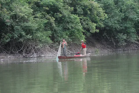
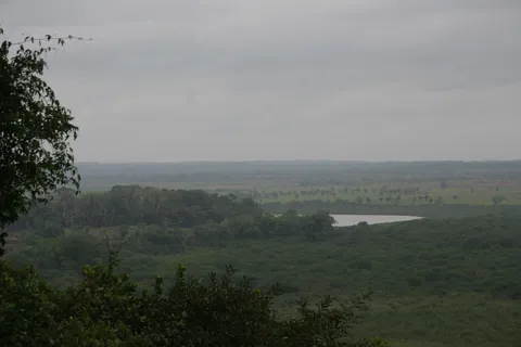
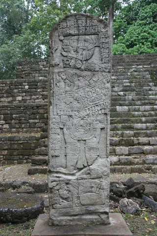
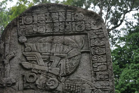
After a dawn boat ride up the Petexbatún river, among herons and fishermen, Aguateca rises on a fortified escarpment overlooking the lagoon. The last capital of the Dos Pilas dynasty, it was attacked and burned around 810; its inhabitants fled, leaving their belongings behind, giving archaeologists a rare snapshot of the daily life of a Maya elite at the end of the Classic period.


By road↗ 109 km
Tikal, Petén
Guatemala
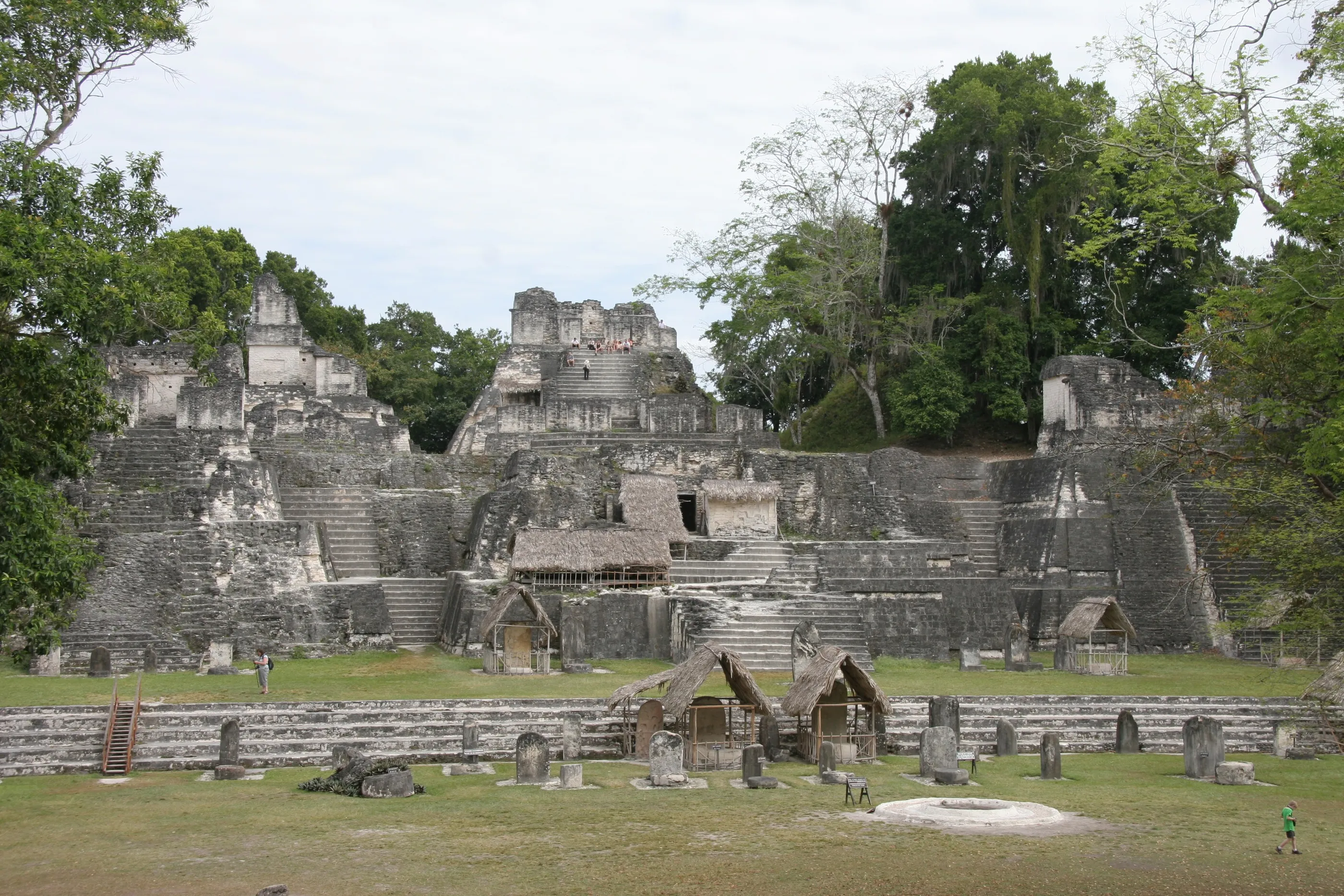
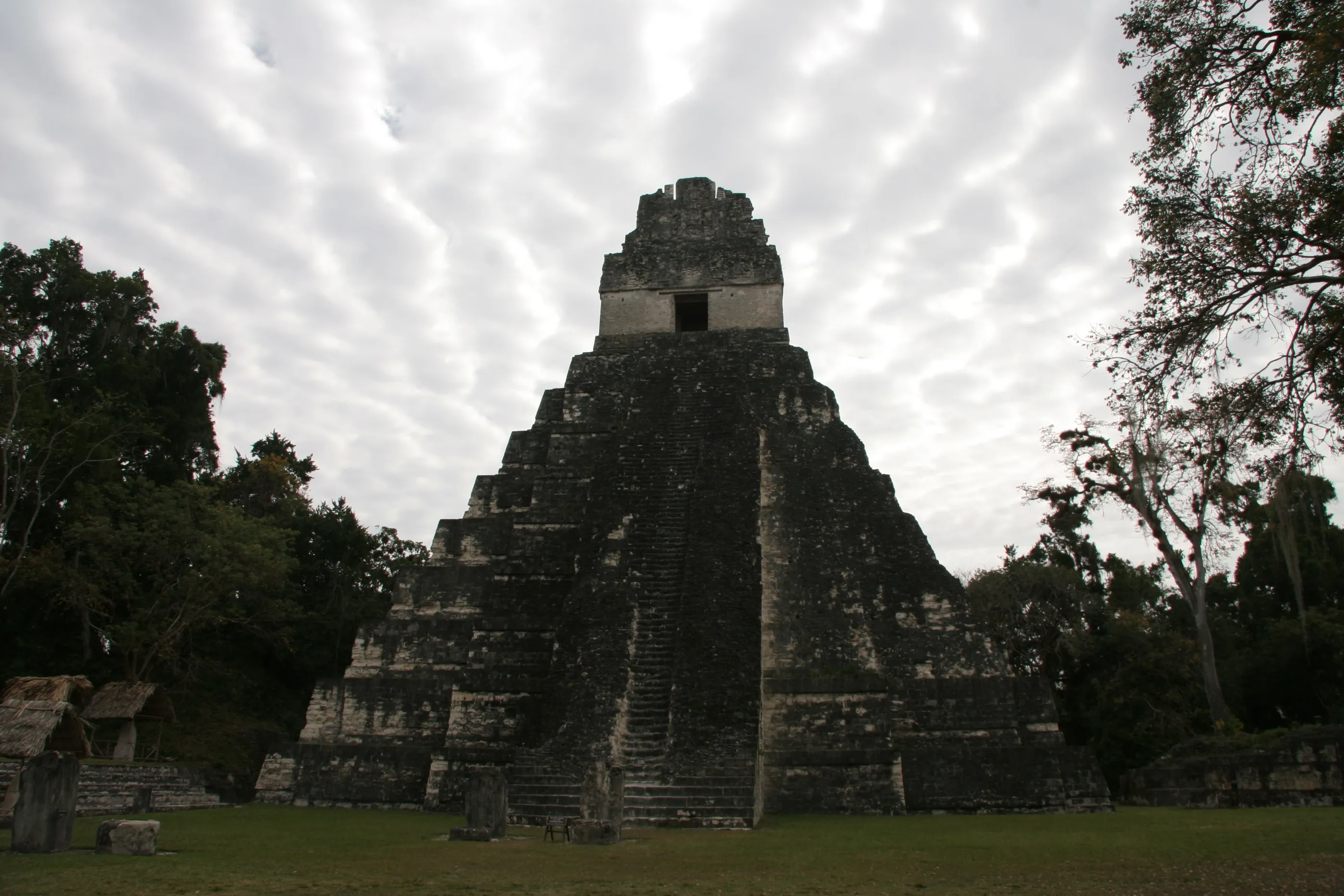
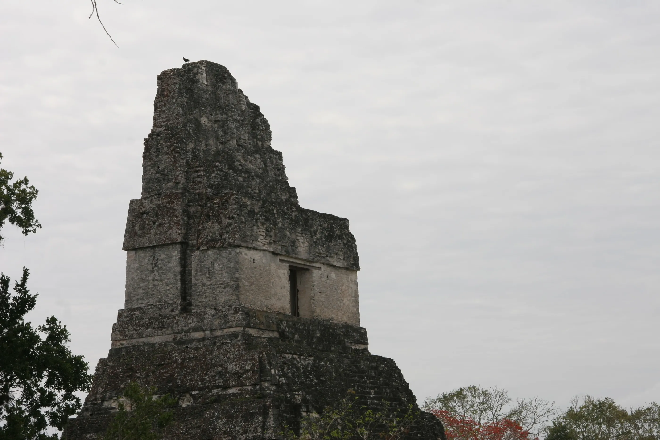
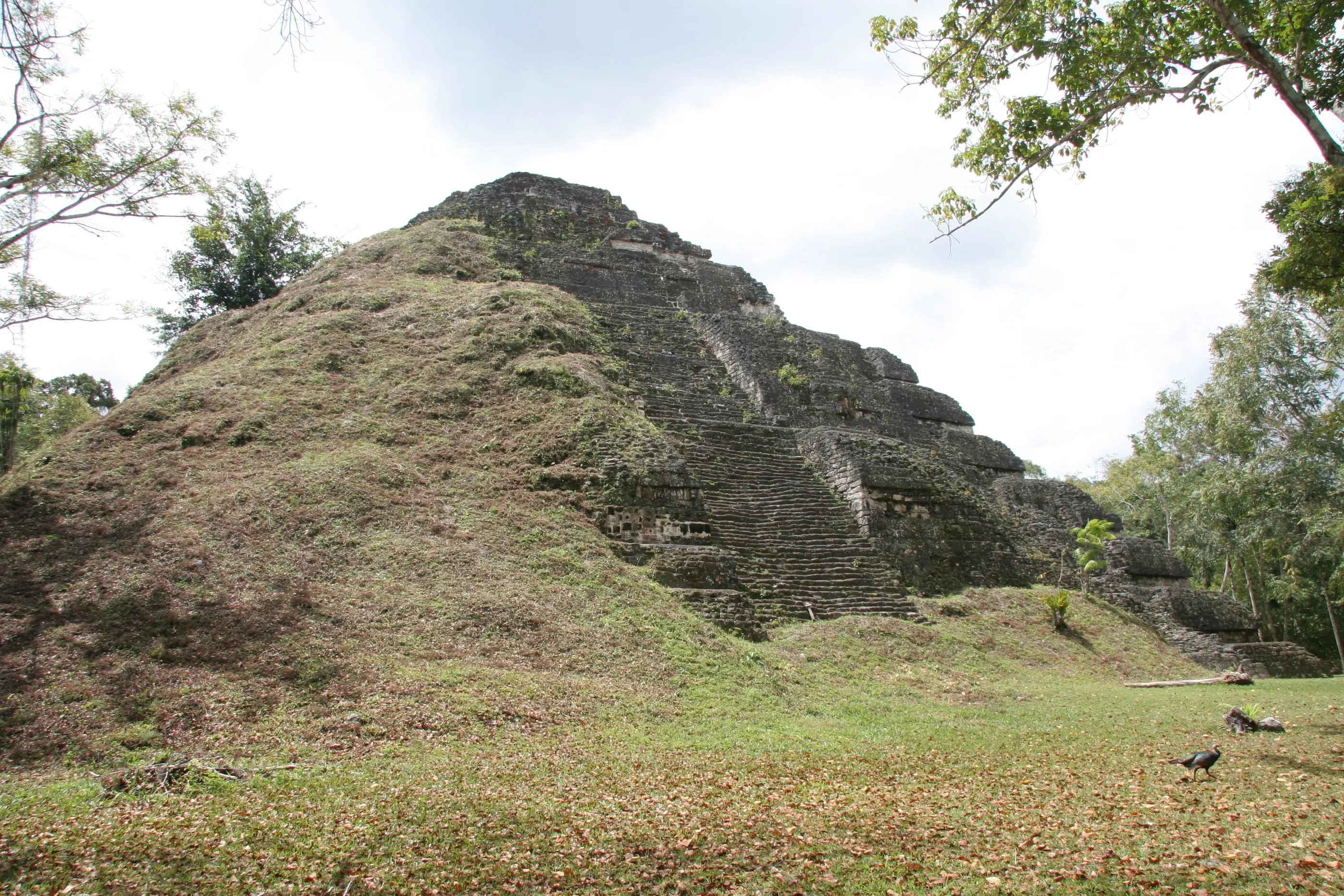
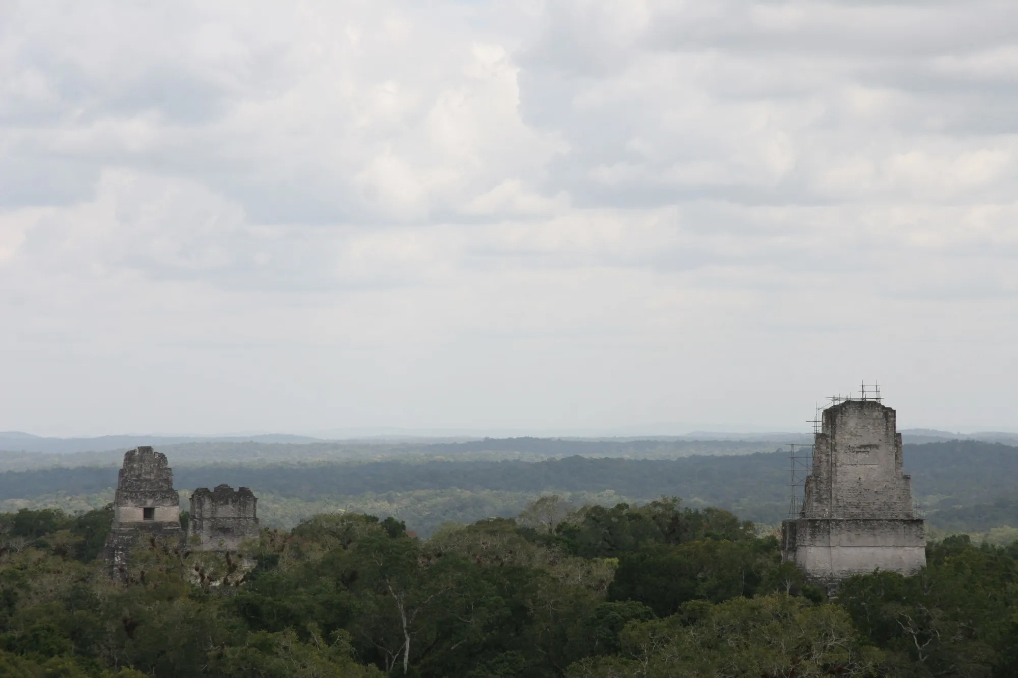
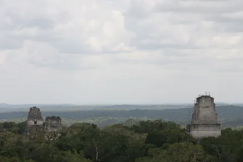
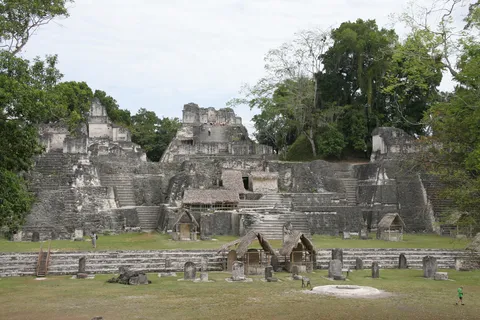
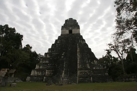
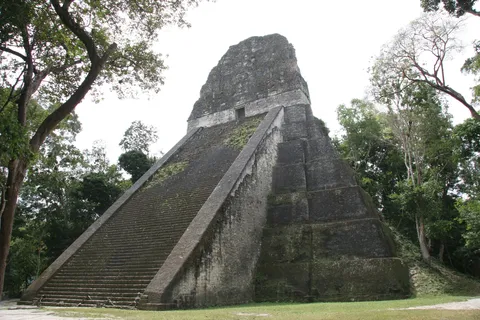
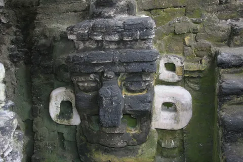
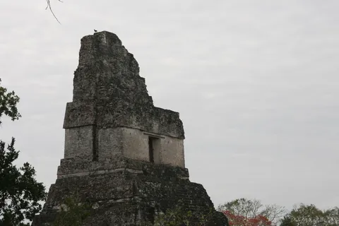
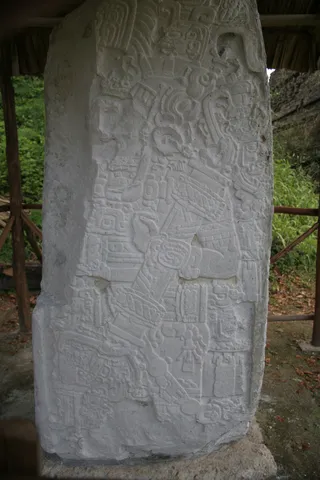
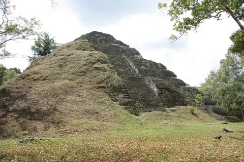
Tikal — Mutul — was one of the greatest cities of the Classic period. I came twice from Flores, the island in Lake Petén Itzá that was Nojpetén, the last independent Maya capital, taken by the Spaniards in 1697: in August 2011, and again in March 2013, the day after a detour to the Tayasal lookout. Around the Great Plaza, Temple I holds the tomb of King Jasaw Chan K’awiil, victor over Calakmul in 695; the North Acropolis piles up more than a millennium of royal burials, and the great Preclassic pyramid of the Mundo Perdido recalls how old the place is. From the top of Temple IV, the temple summits pierce the canopy as far as the eye can see.
By road↗ 23 km
Nakum, Petén
Guatemala
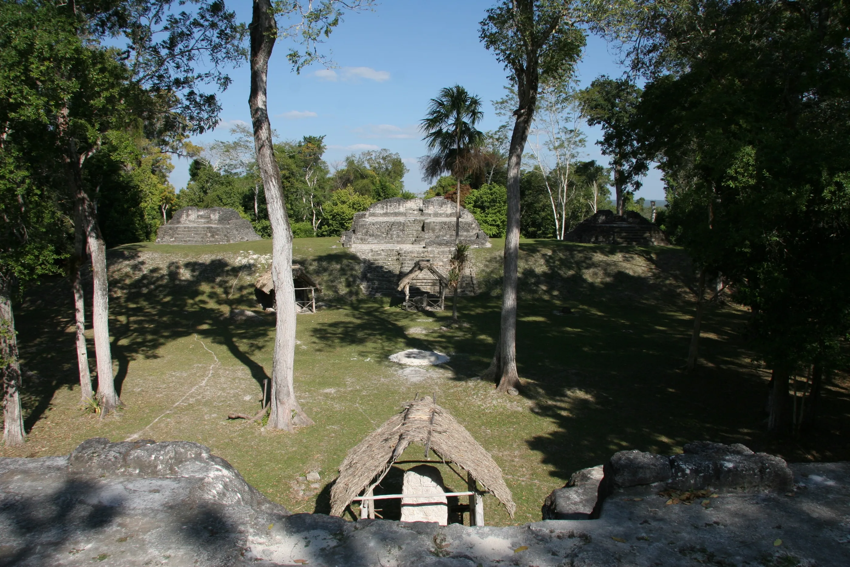
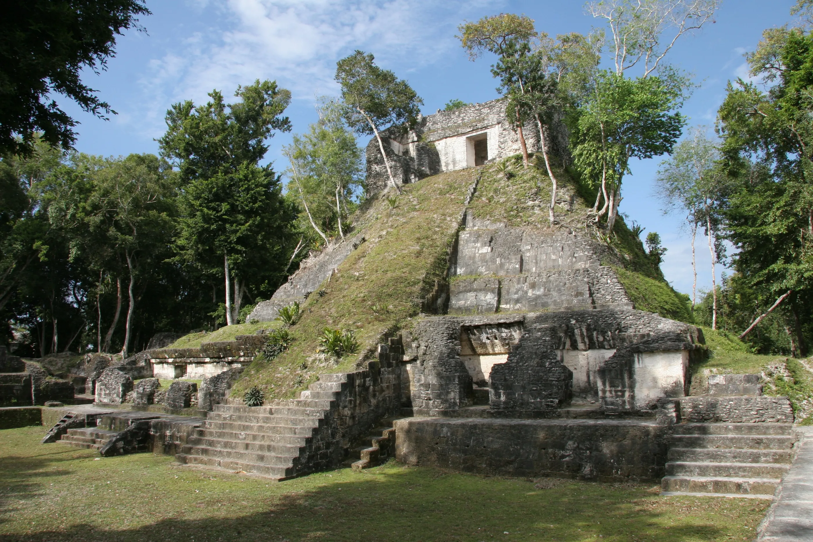
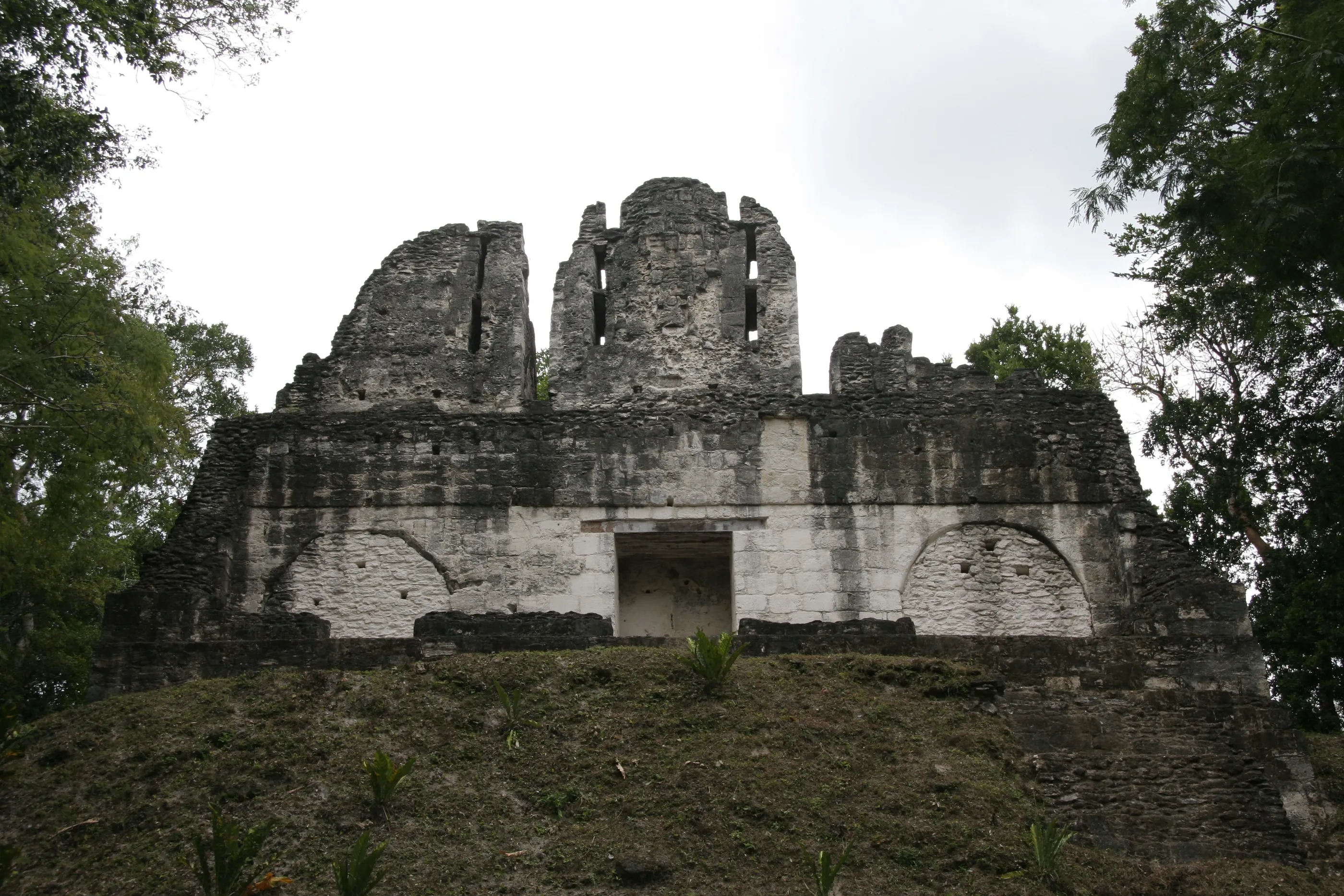
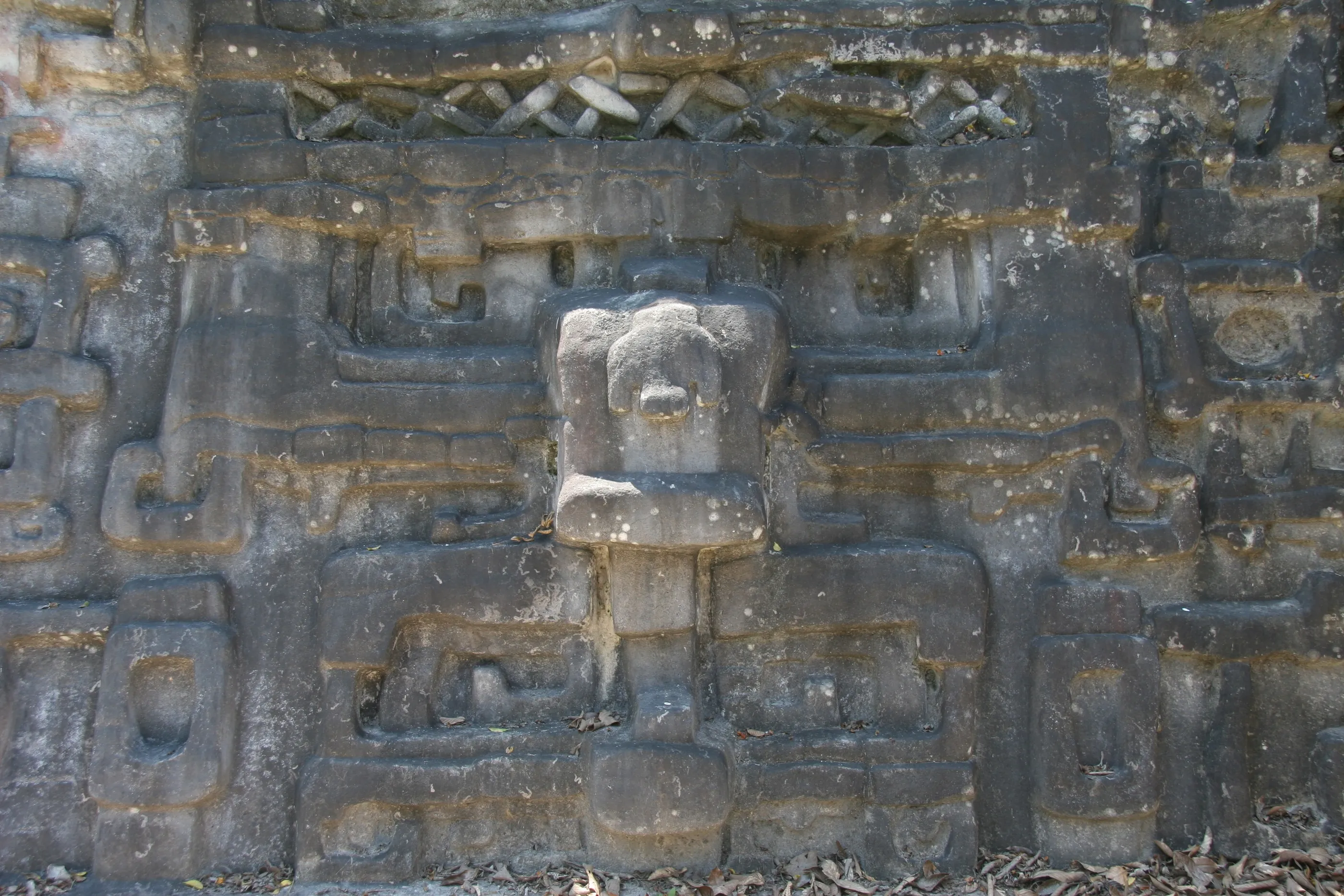
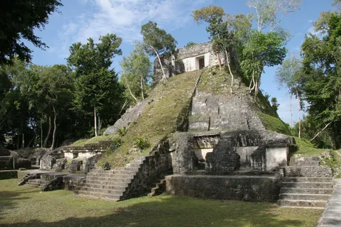
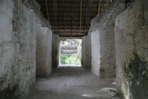
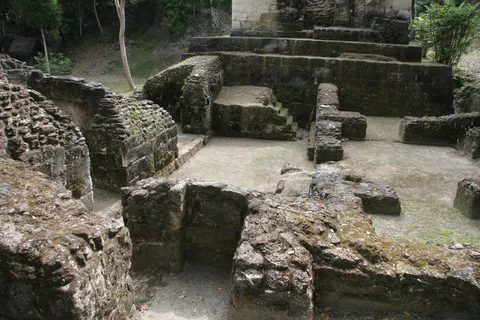
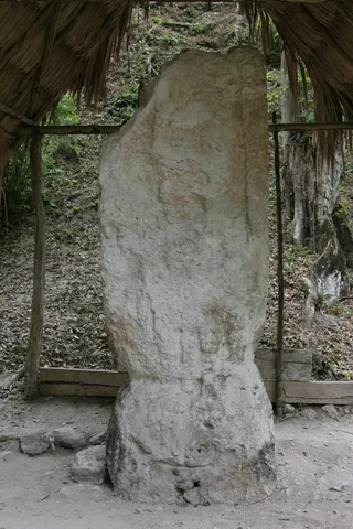
On the Holmul River, Nakum forms a triangle of north-eastern Petén cities with Yaxhá and Naranjo. It enjoyed a last flourishing in the Terminal Classic, while its neighbours declined, and its buildings are among the best preserved in the region: palaces with rooms still vaulted, a temple on its high platform, a building crowned by two pierced roof combs. The Acropolis, excavated and restored by a Polish-Guatemalan project, still bears many ancient graffiti on its plaster.

By road↗ 11 km
Yaxhá, Petén
Guatemala
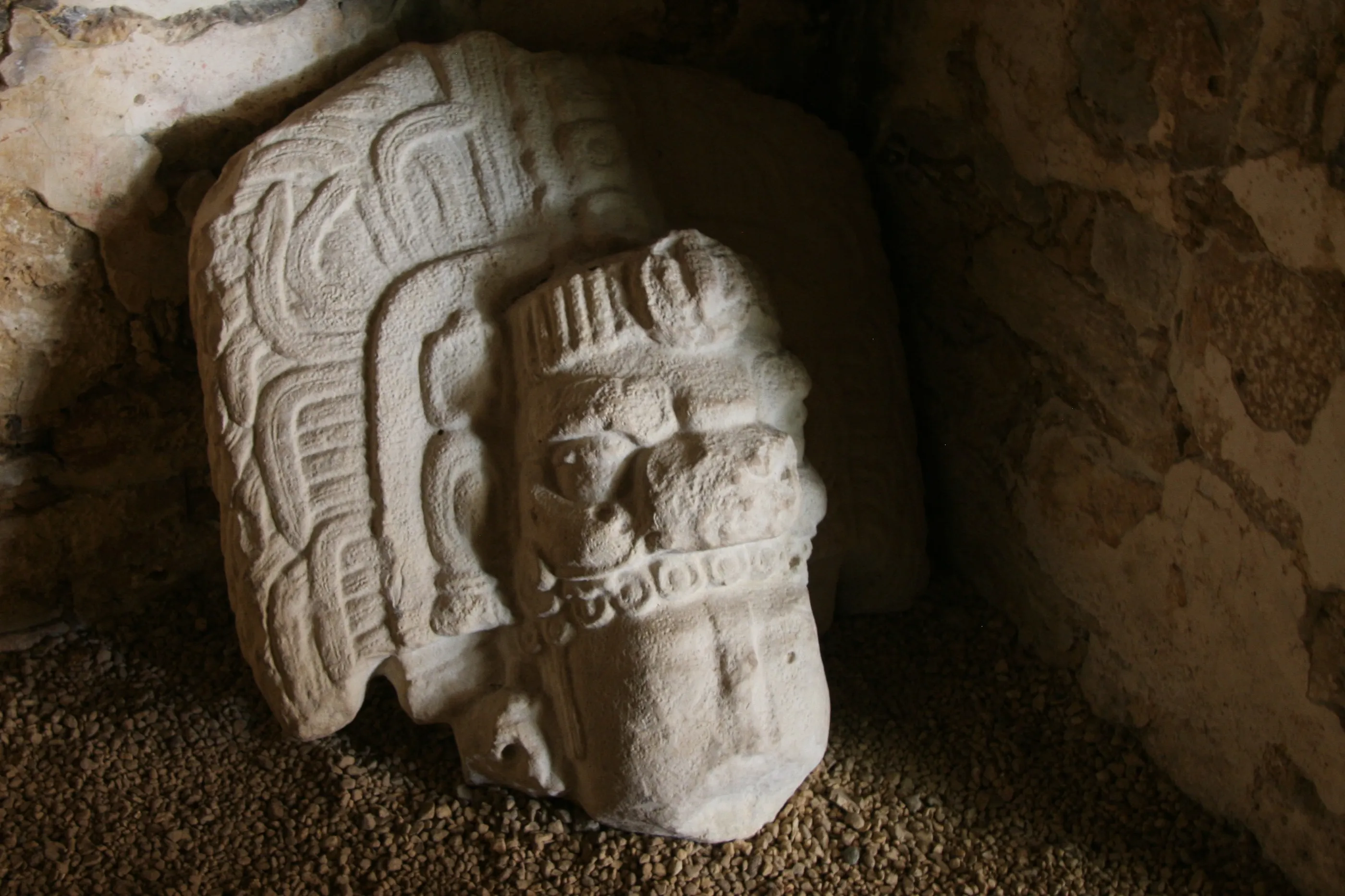
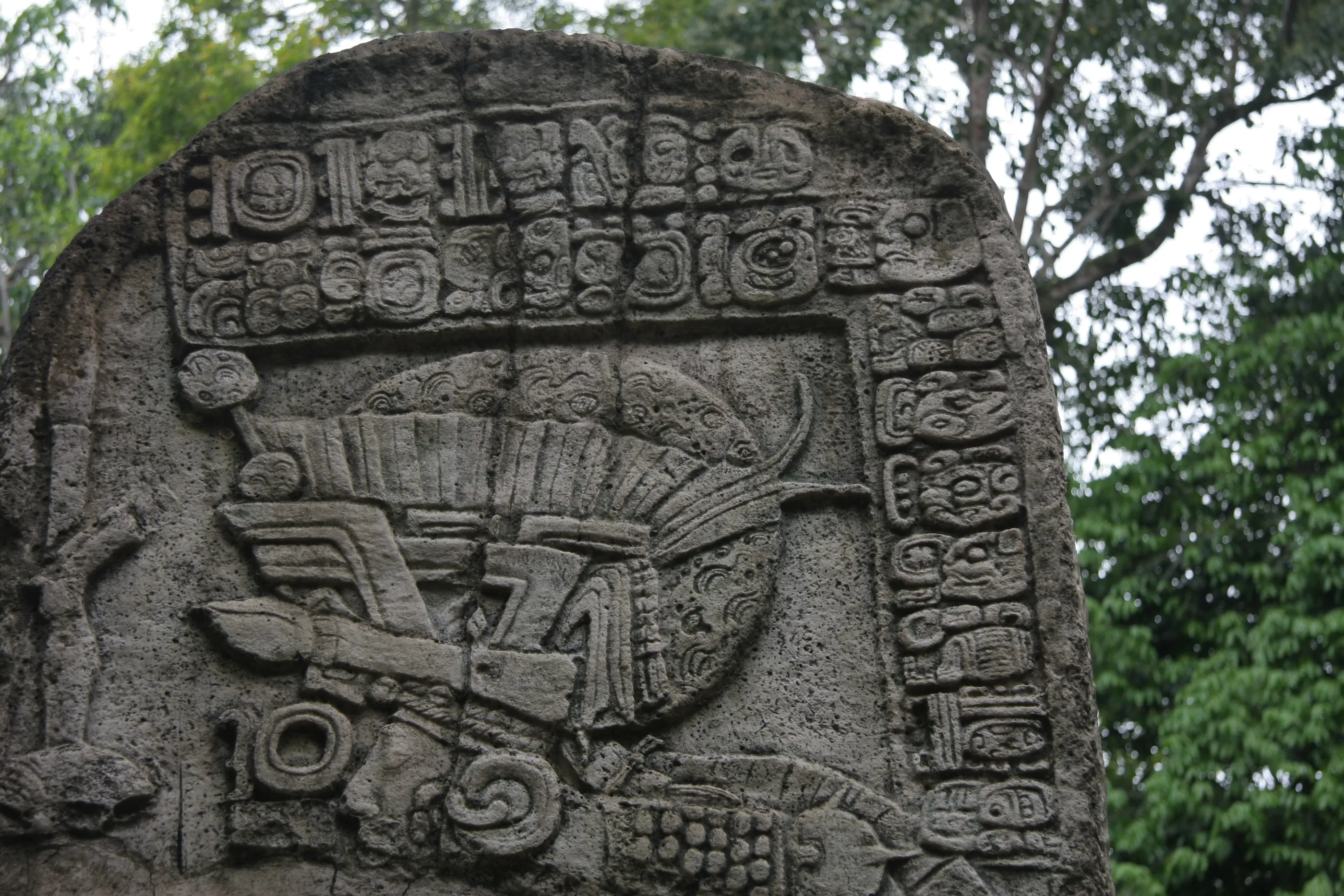
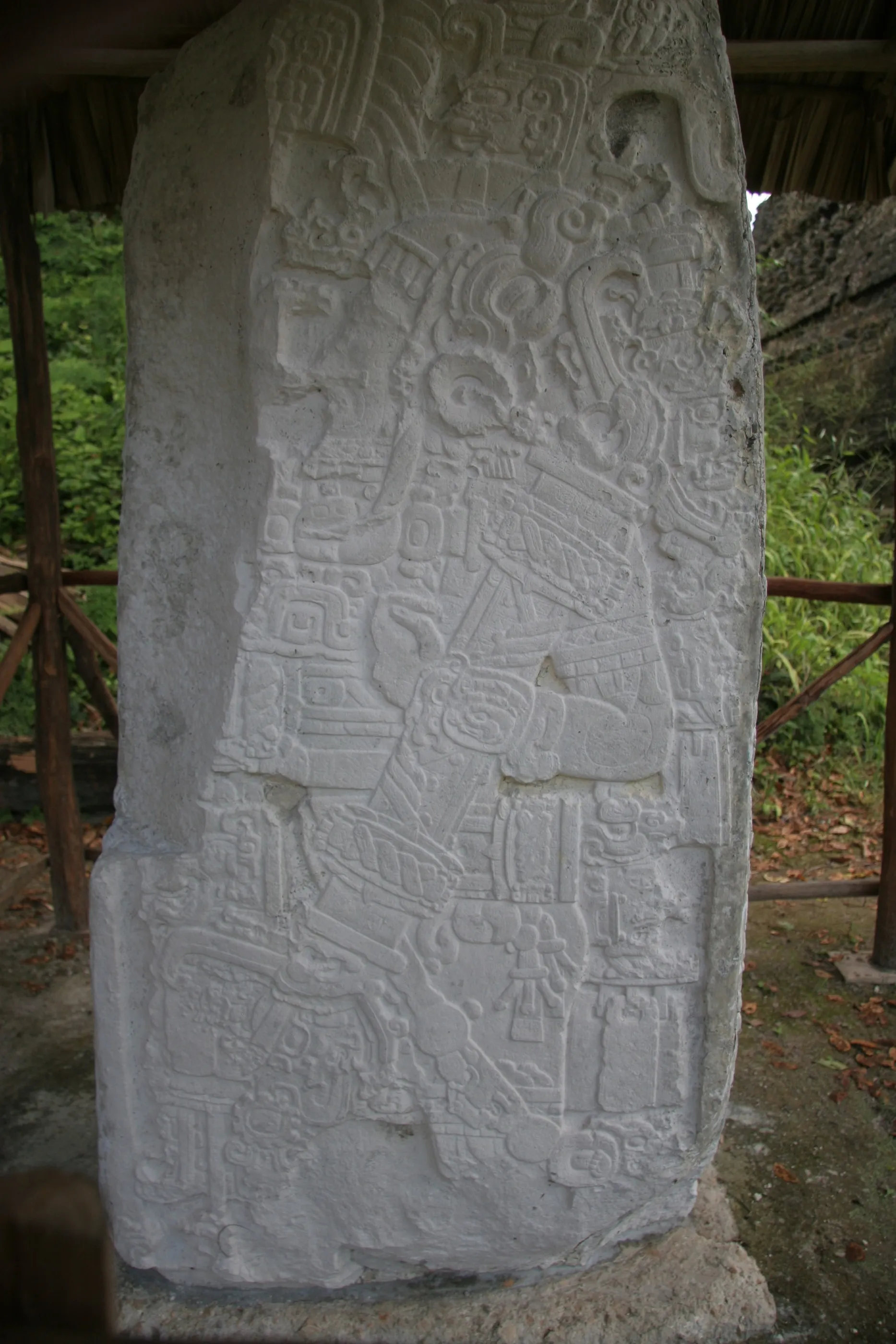
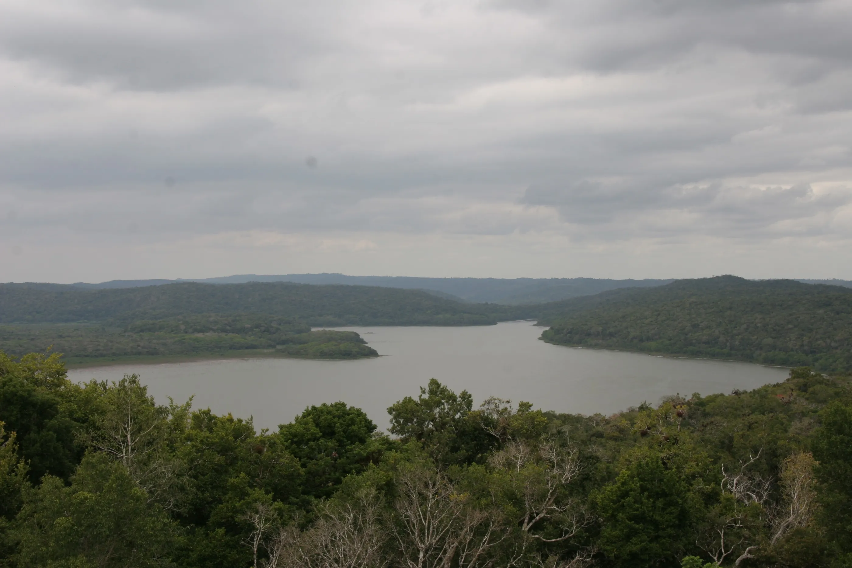
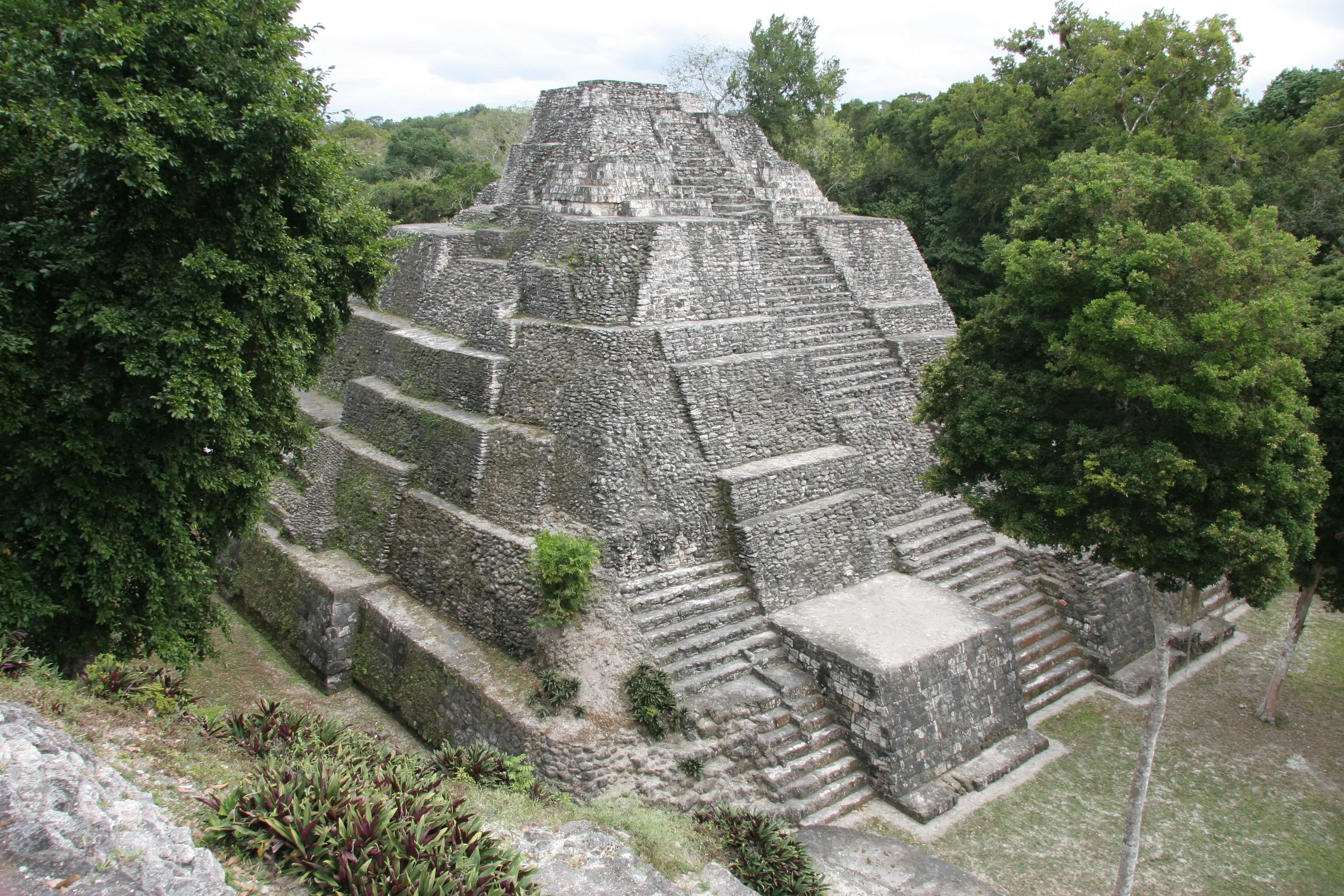
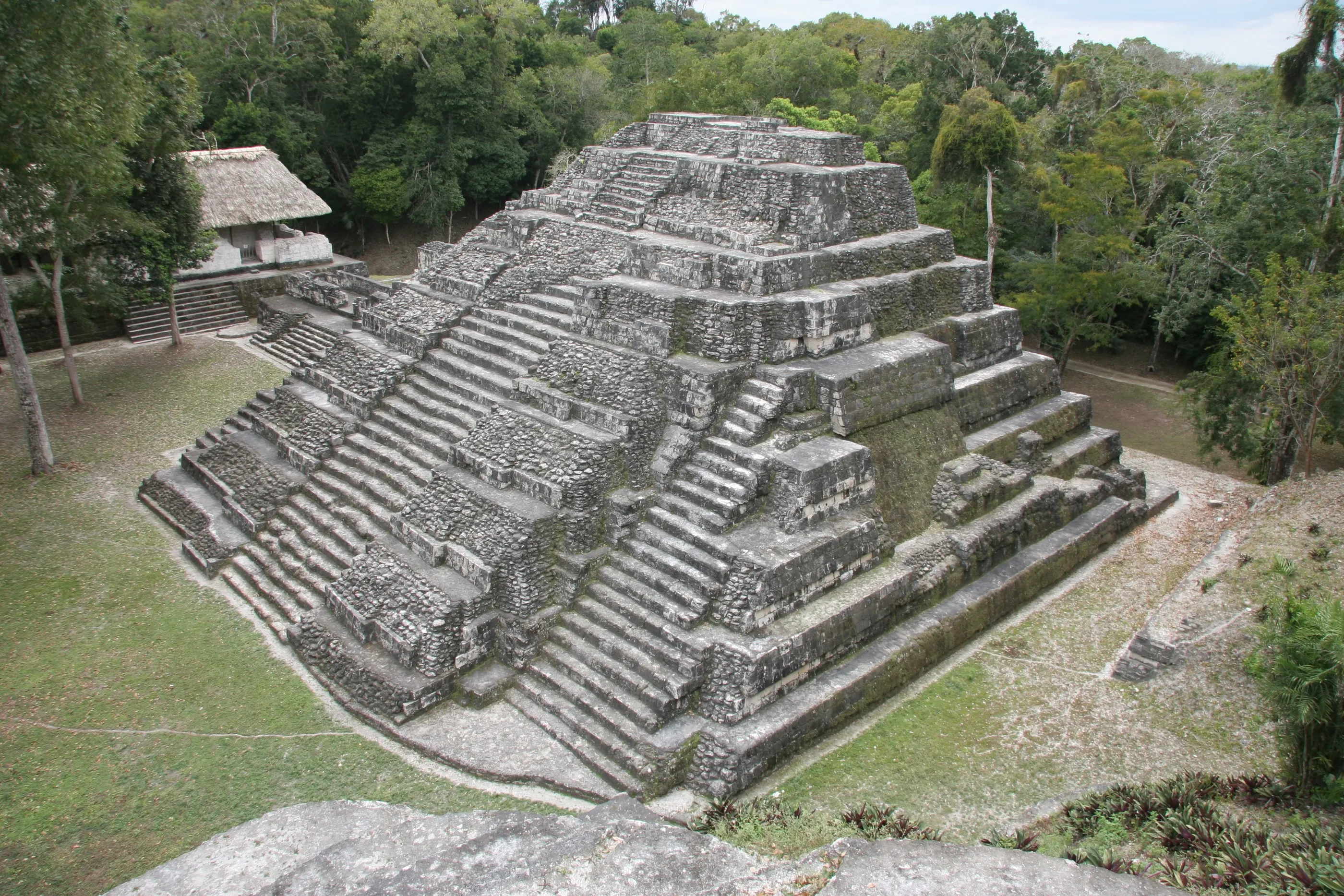
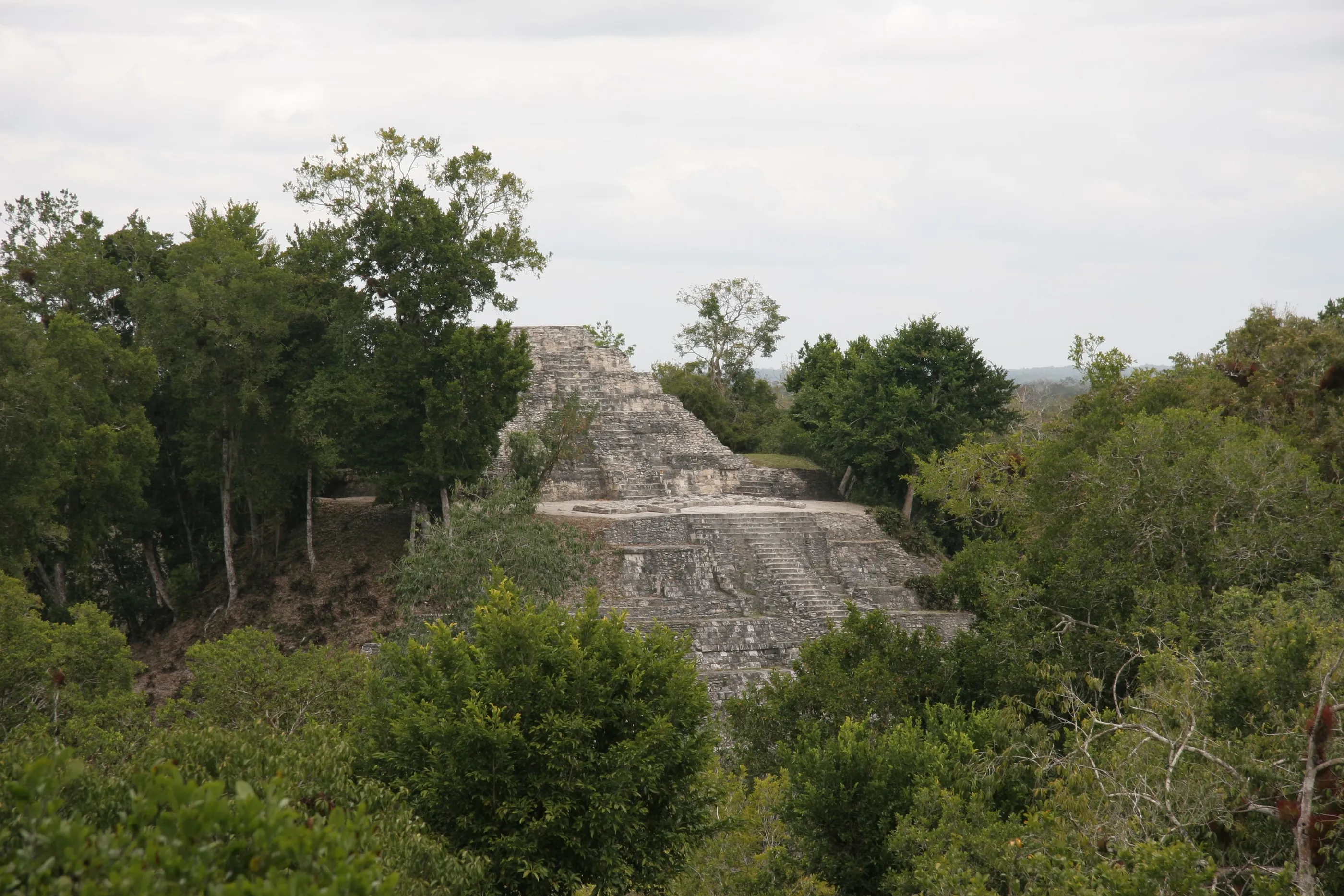
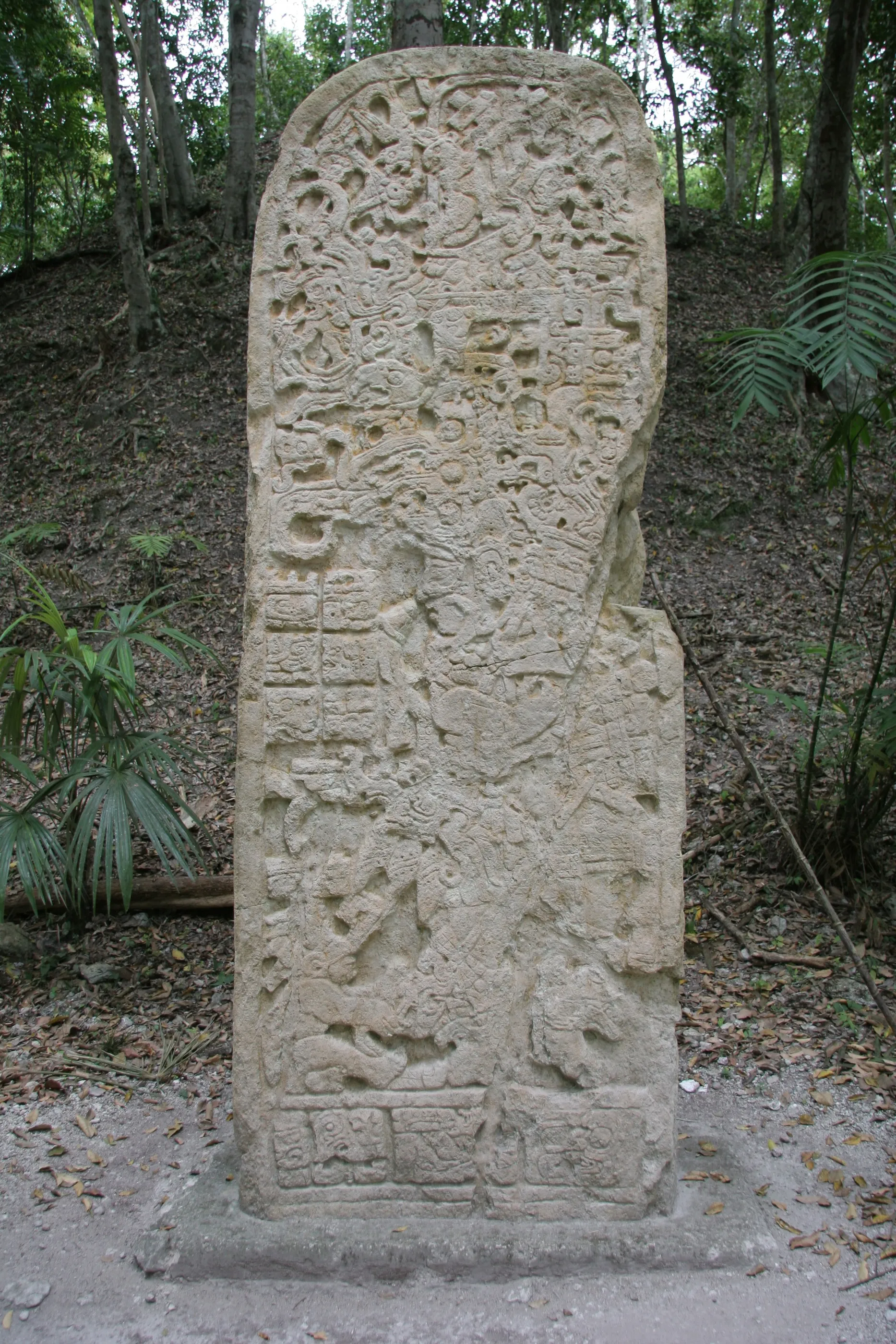
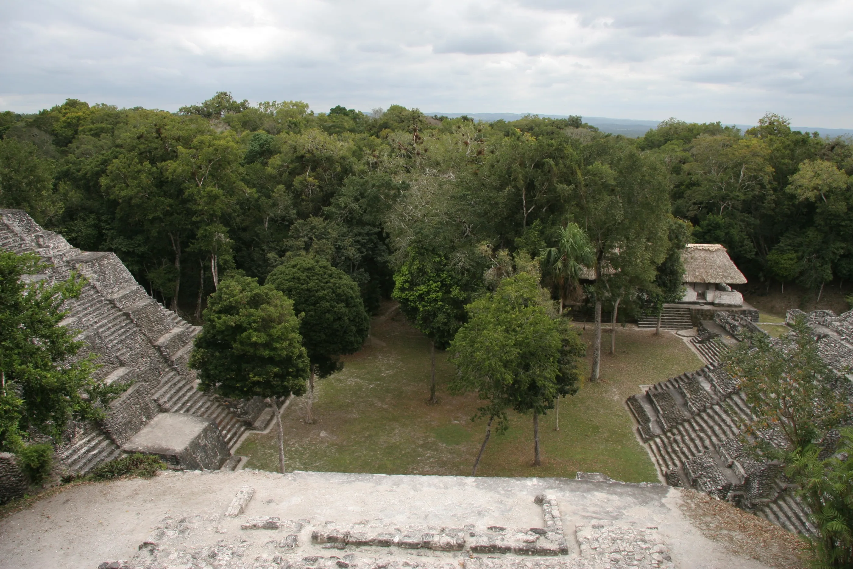
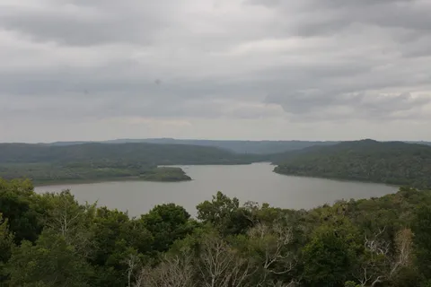
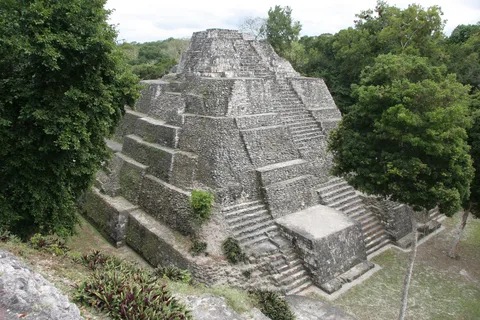
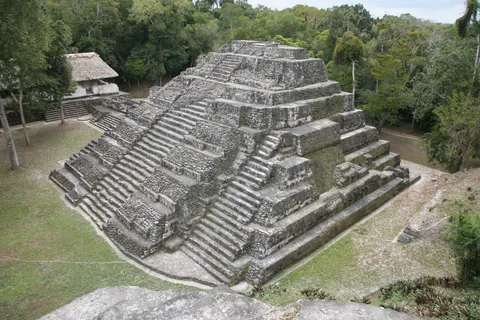
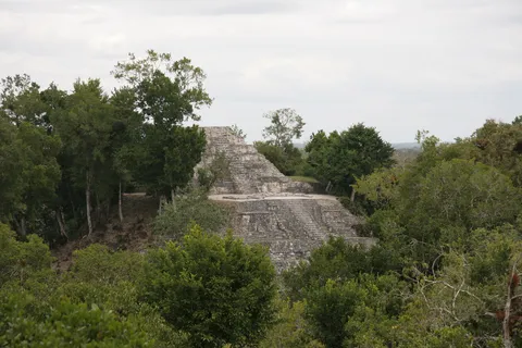
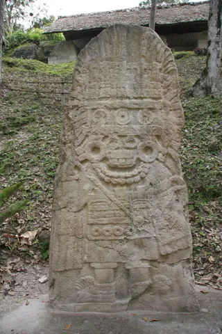
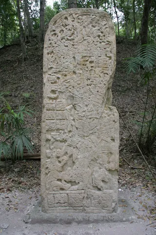
On the shore of the lagoon whose name it bears — ‘green water’ — Yaxhá was one of the major cities of north-eastern Petén in the Classic period, caught up in the rivalries between Tikal and its neighbour Naranjo. From the top of its temples, the view takes in the lagoon and the forest; its twin-pyramid complexes recall those of Tikal, a sign of close ties between the two cities. On Stela 11, a figure wears the ‘goggles’ of the storm god Tlaloc: a direct echo of Teotihuacan.

By road↗ 28 km
Xunantunich, Cayo
Belize
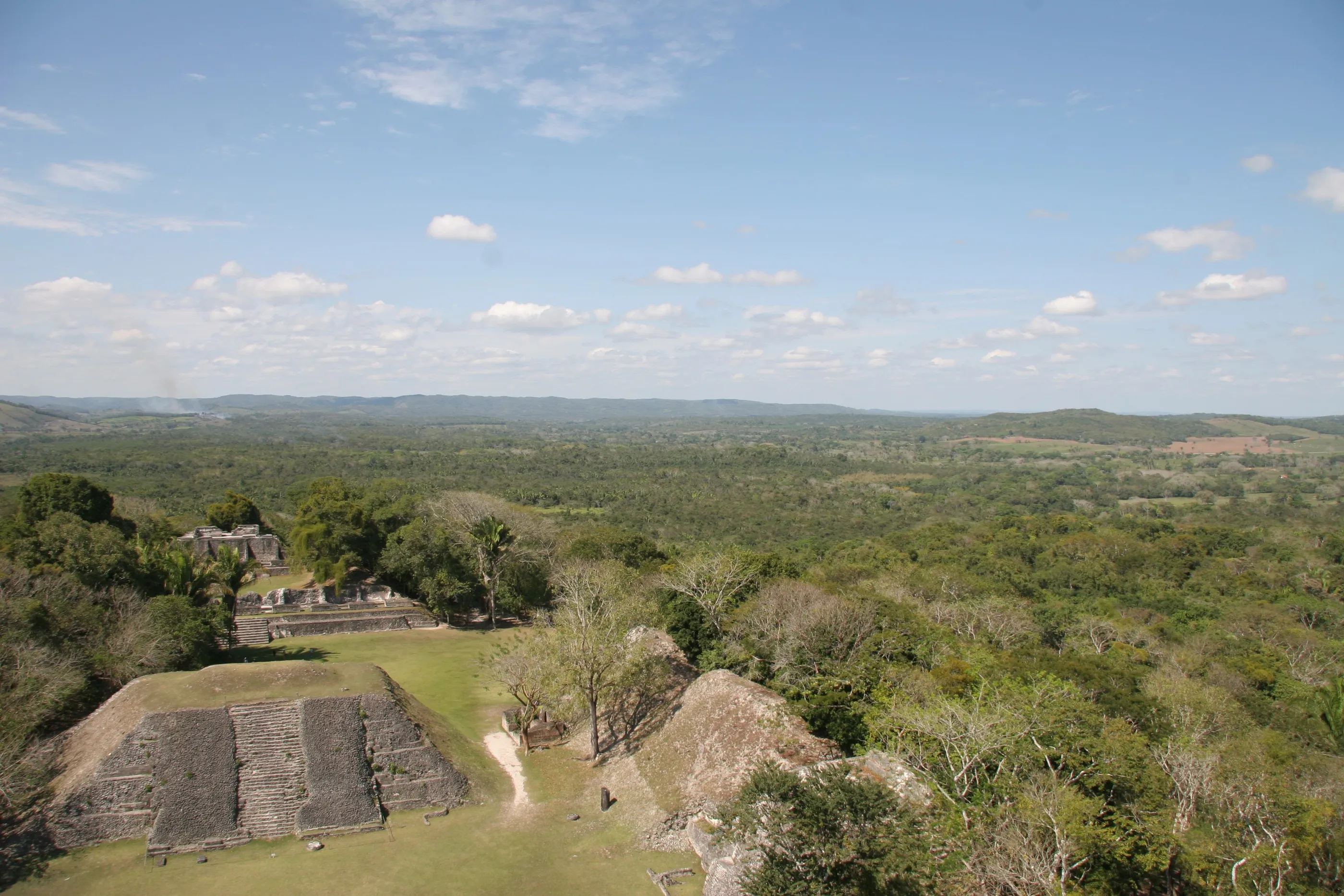
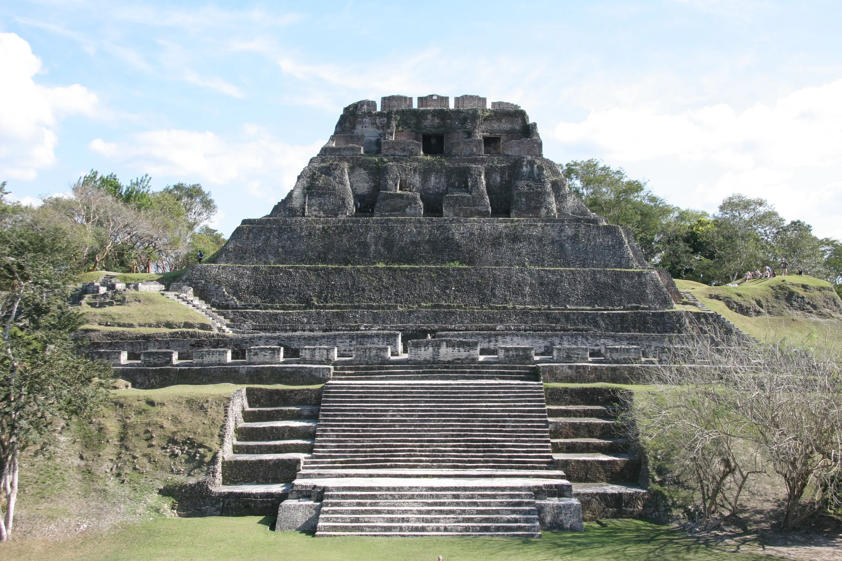
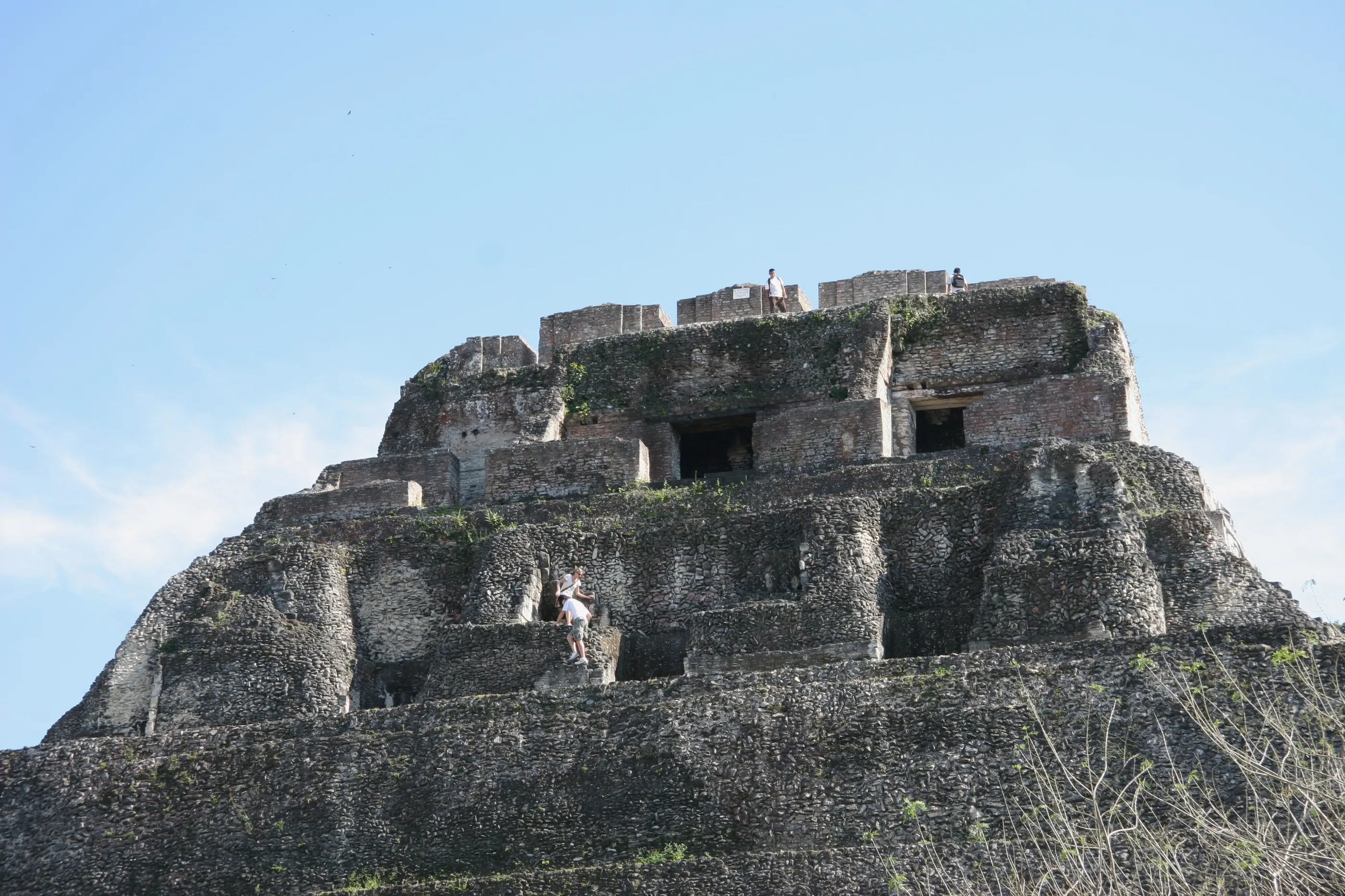
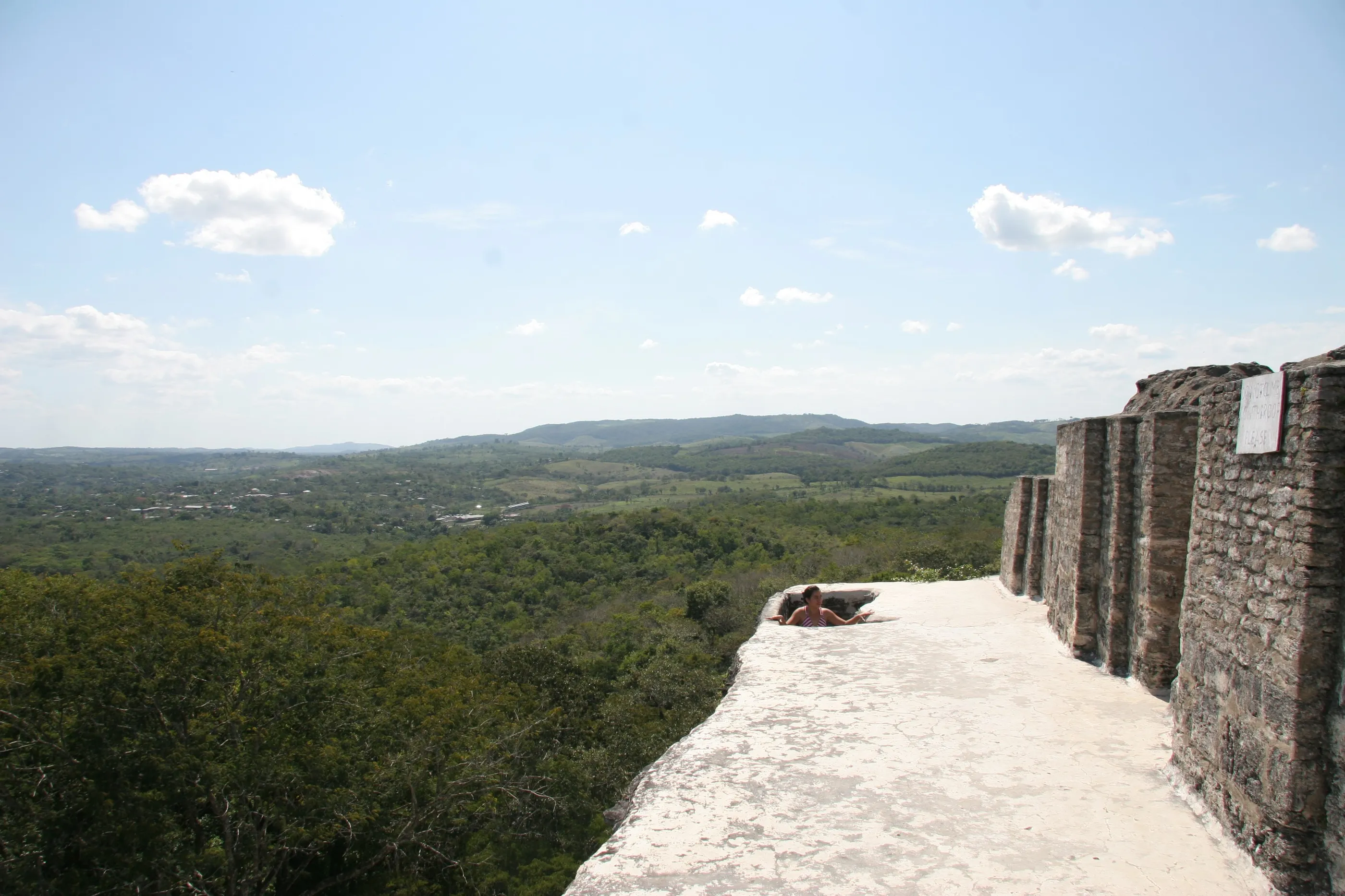
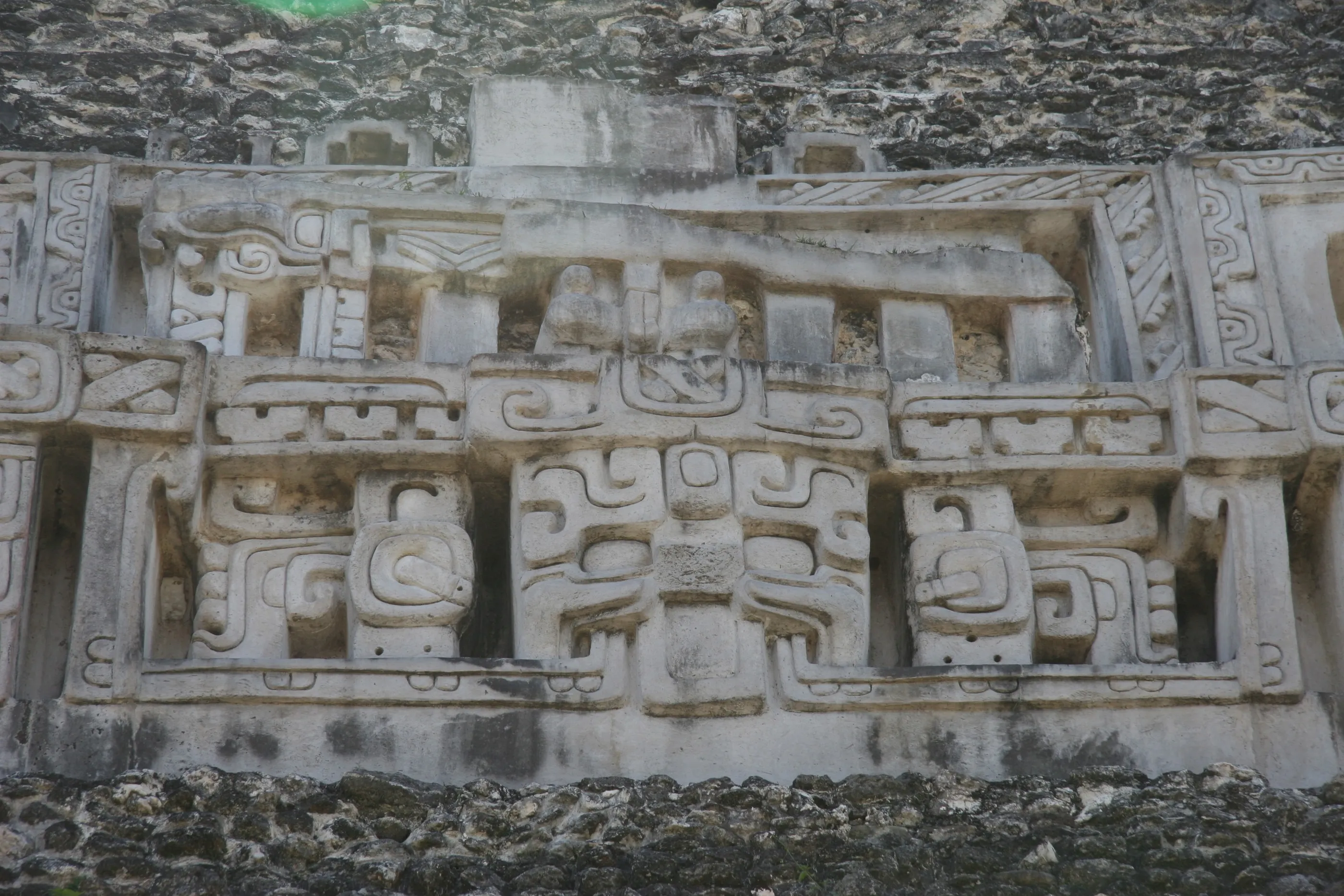
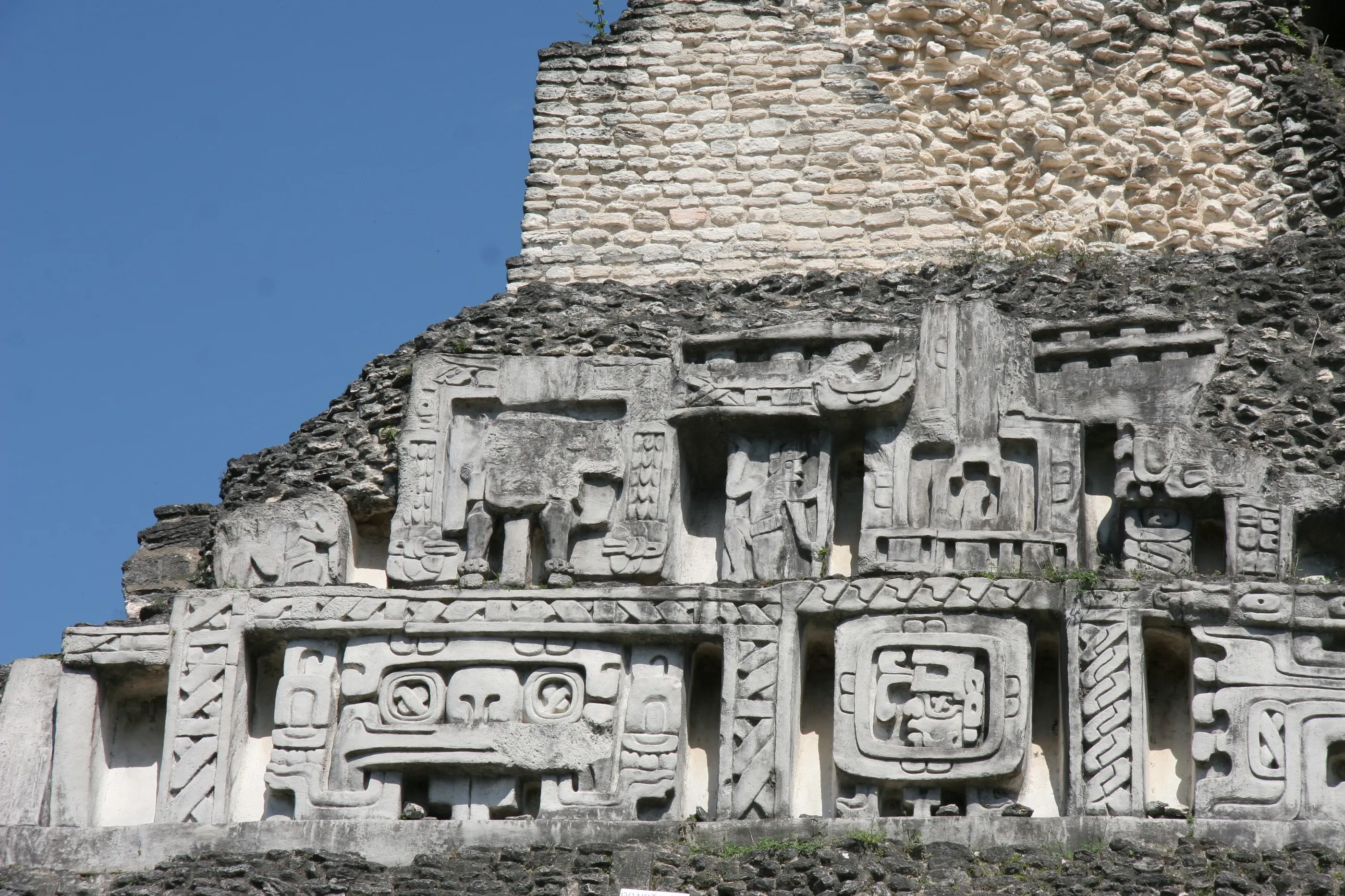
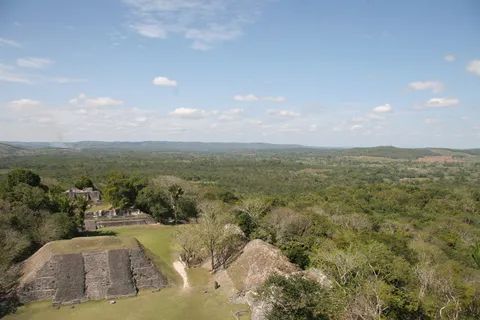
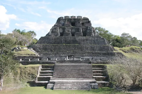
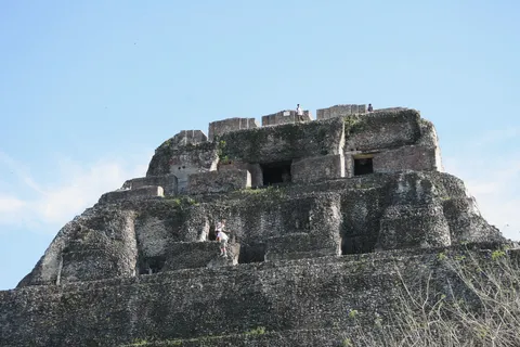
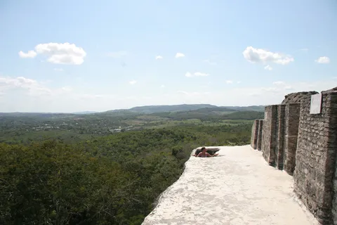
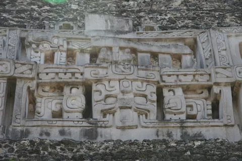
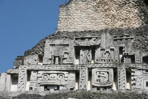
Across the Belize border, a hand-cranked ferry over the Mopan River leads to Xunantunich, a Late and Terminal Classic city perched on a ridge. Its Castillo, some forty metres high, bears a stucco frieze of deities and cosmological symbols. From its summit, the view reaches all the way to Guatemala.
By road↗ 36 km
Caracol, Cayo
Belize
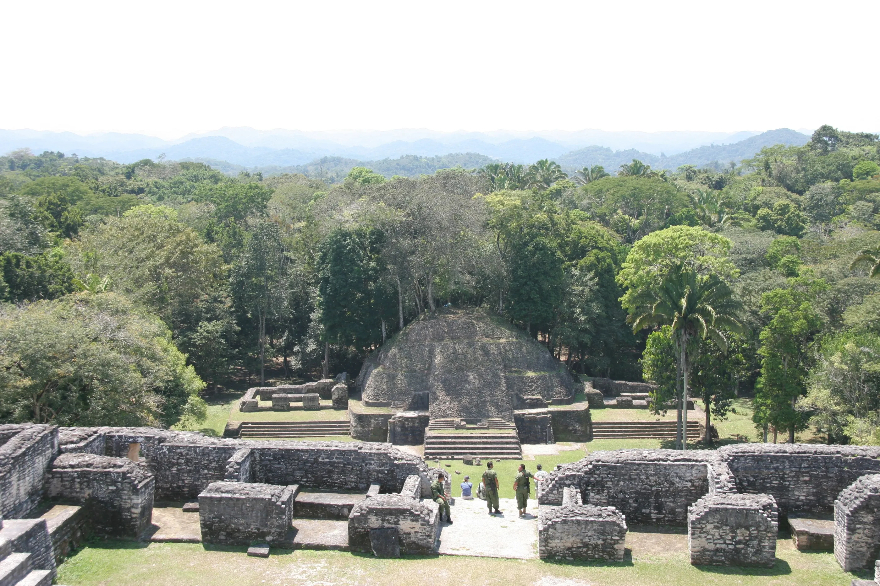
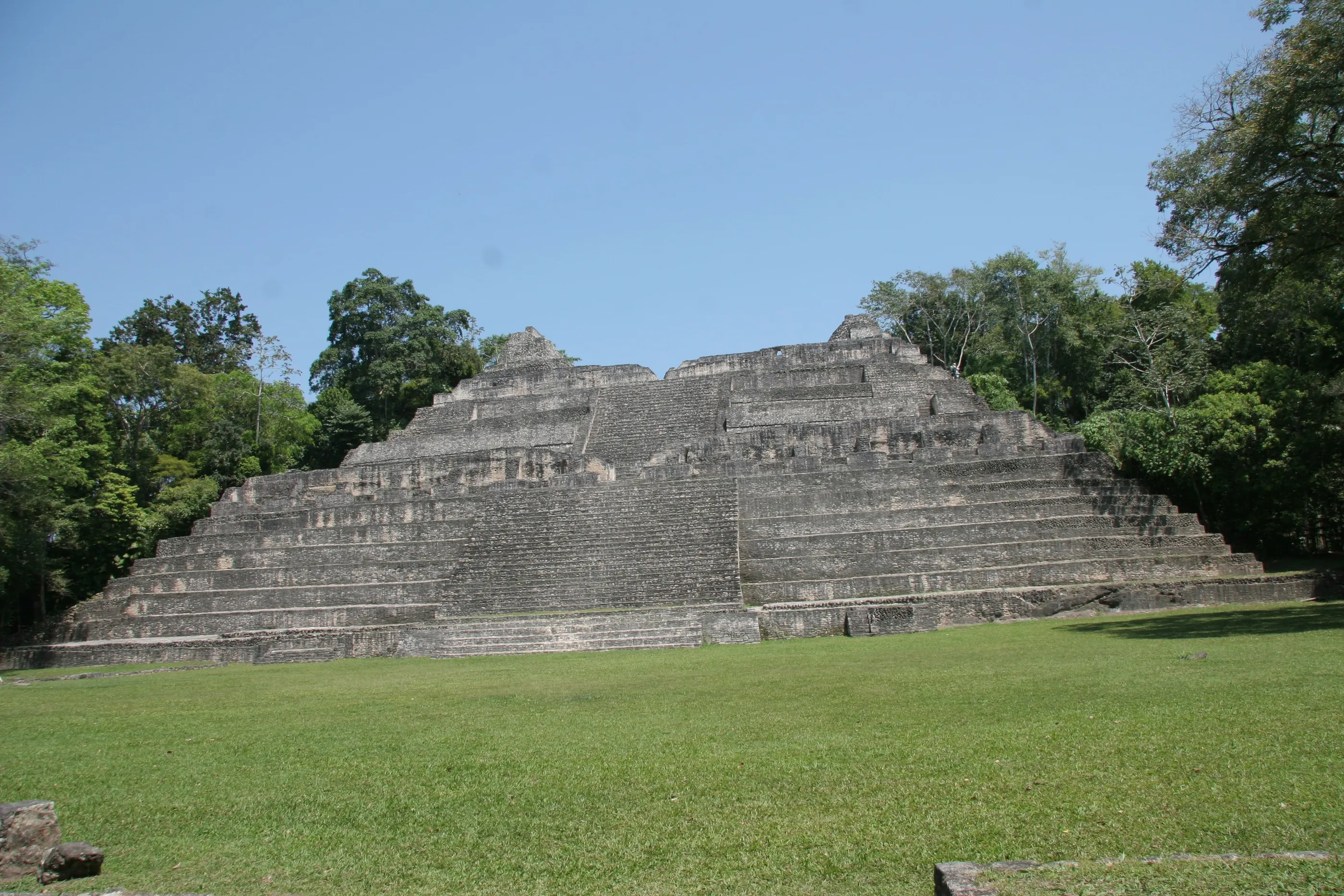
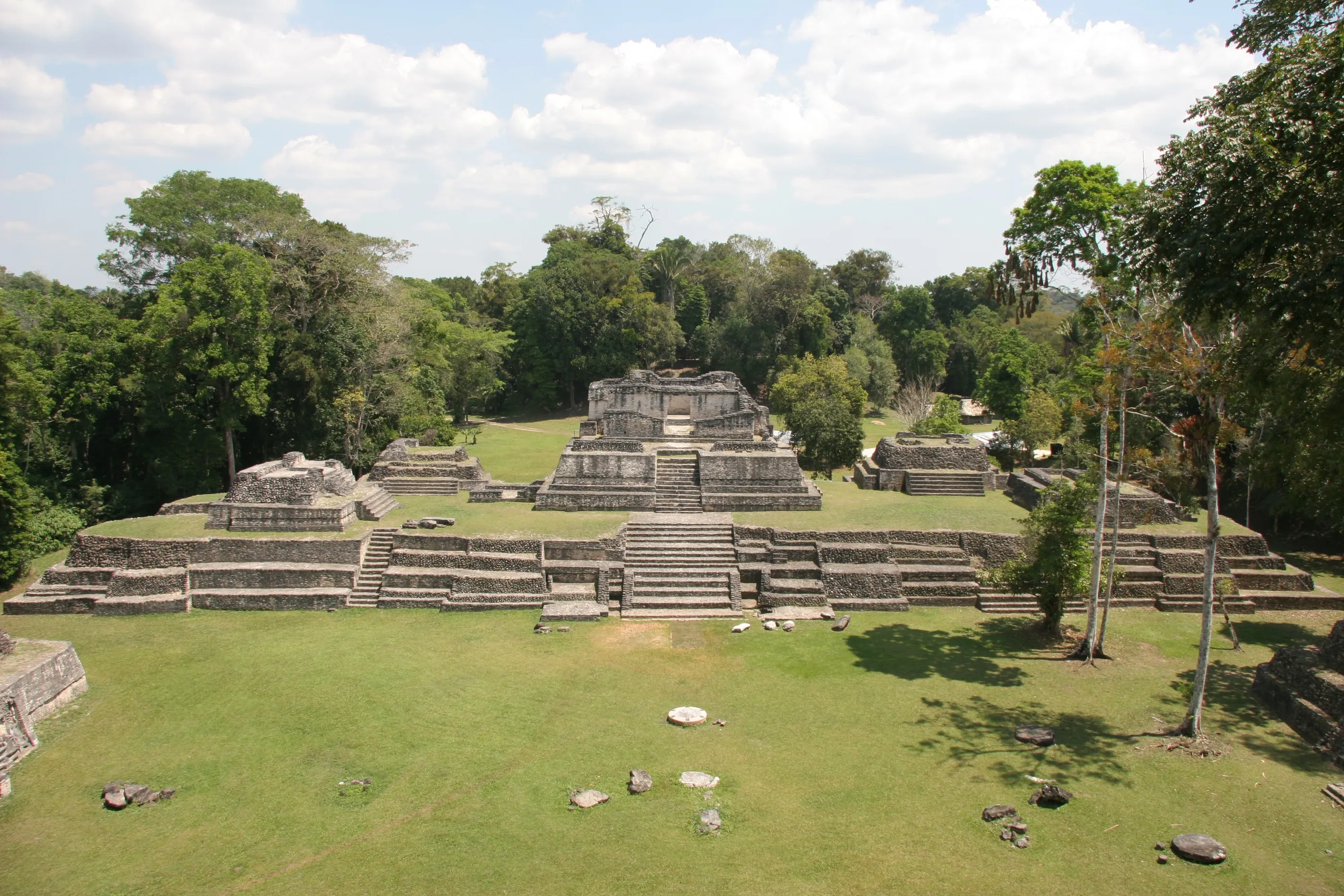
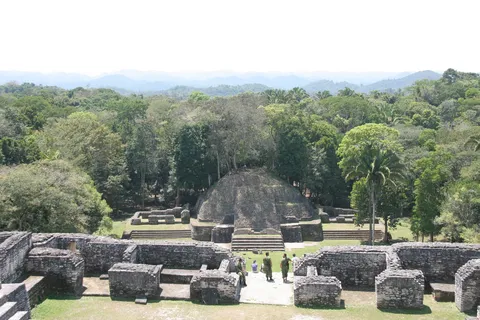
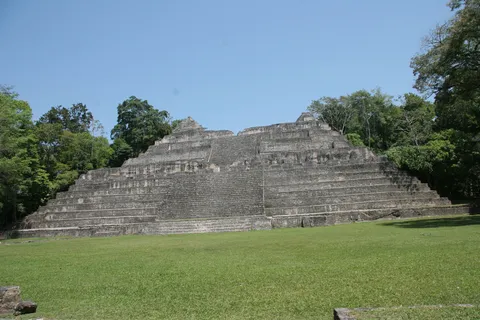
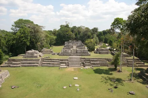
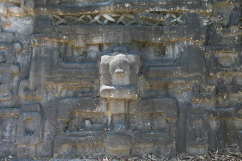
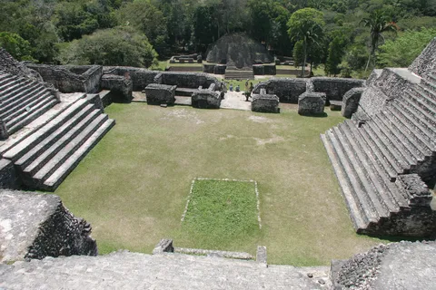
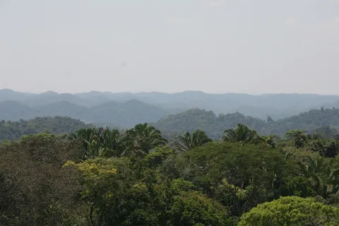
At the end of a long track through the Mountain Pine Ridge, Caracol is the largest Maya site in Belize. An ally of Calakmul, the city inflicted a major defeat on Tikal in 562, opening more than a century of decline for its rival. Its Caana pyramid is still the tallest building in the country, and the network of causeways and agricultural terraces around it bears witness to a huge population at its 7th-century peak.

By plane↗ 328 km
Joya de Cerén
El Salvador
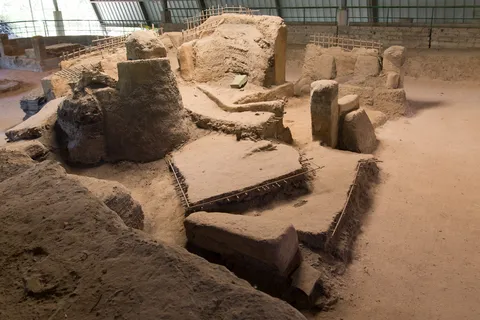
Six years after my Master’s, back in Central America, this time on the south-eastern fringe of the Maya world. Joya de Cerén has no temples or stelae: it is a simple farming village, buried around 600 under several metres of ash by the eruption of Loma Caldera. Adobe houses, storehouses, a sweat bath, manioc fields and tools left where they lay: the ‘Pompeii of the Americas’ reveals the daily life of ordinary people, which the great cities rarely show.



By road↗ 37 km
Tazumal, Chalchuapa
El Salvador
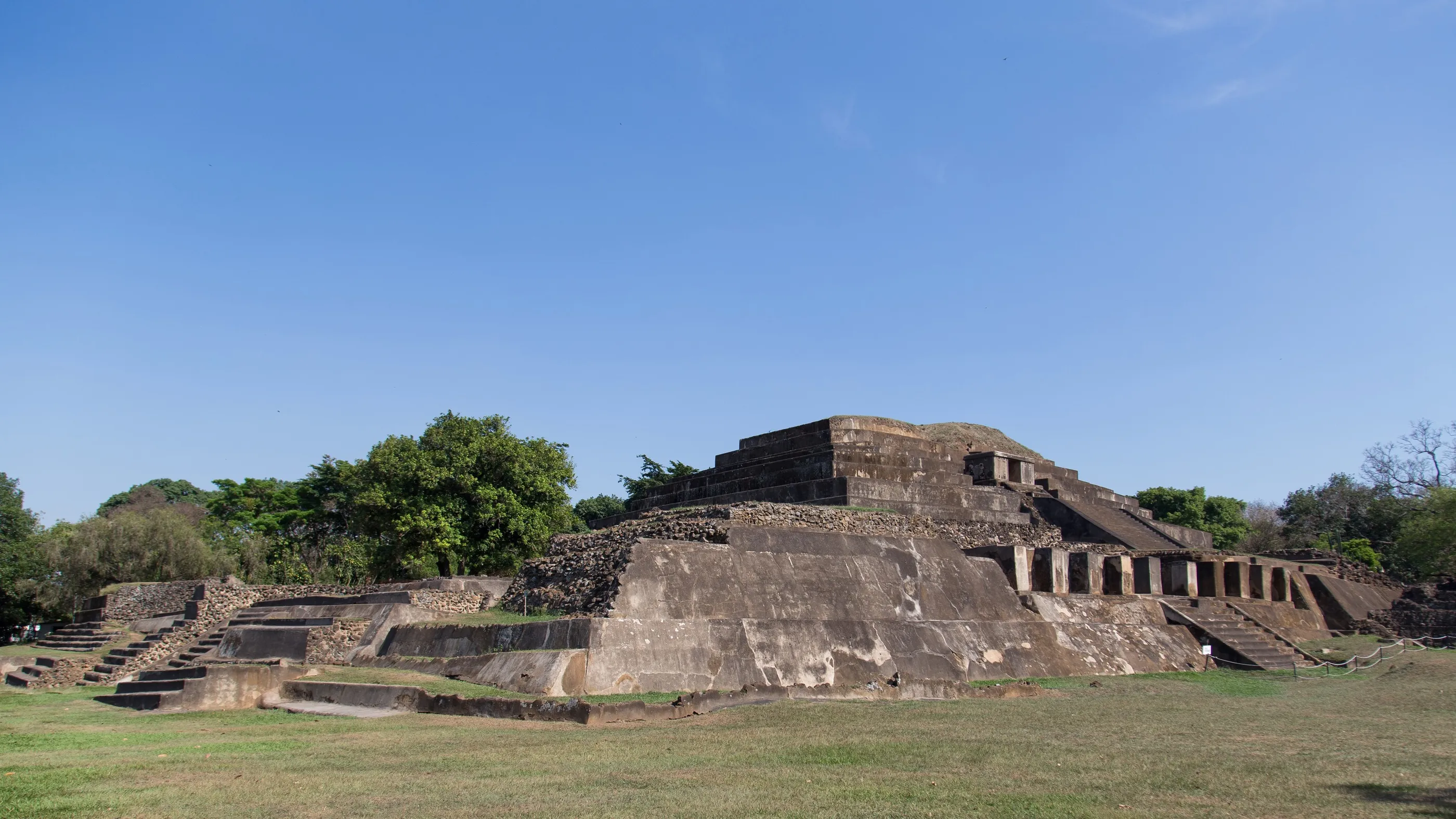
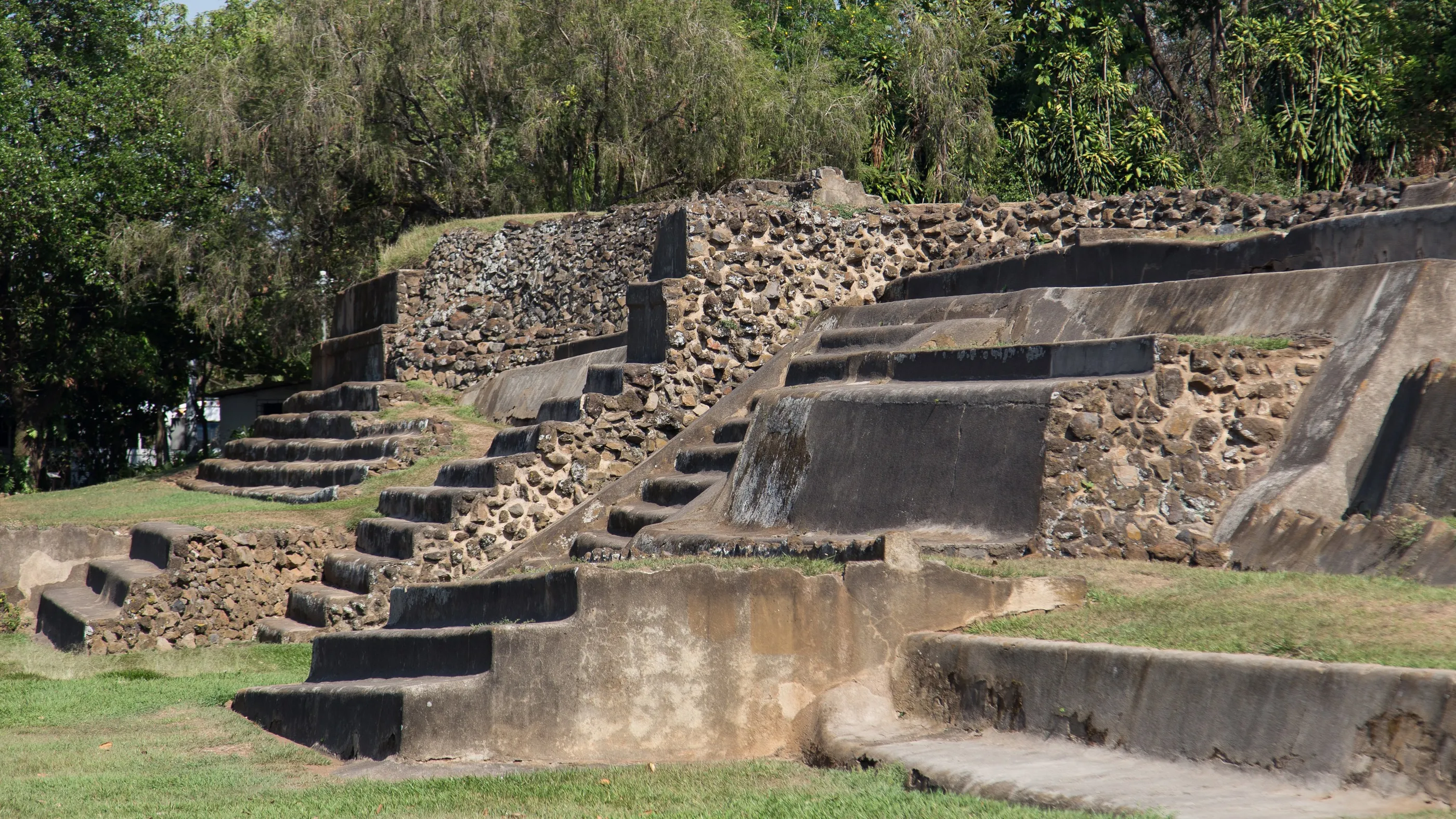
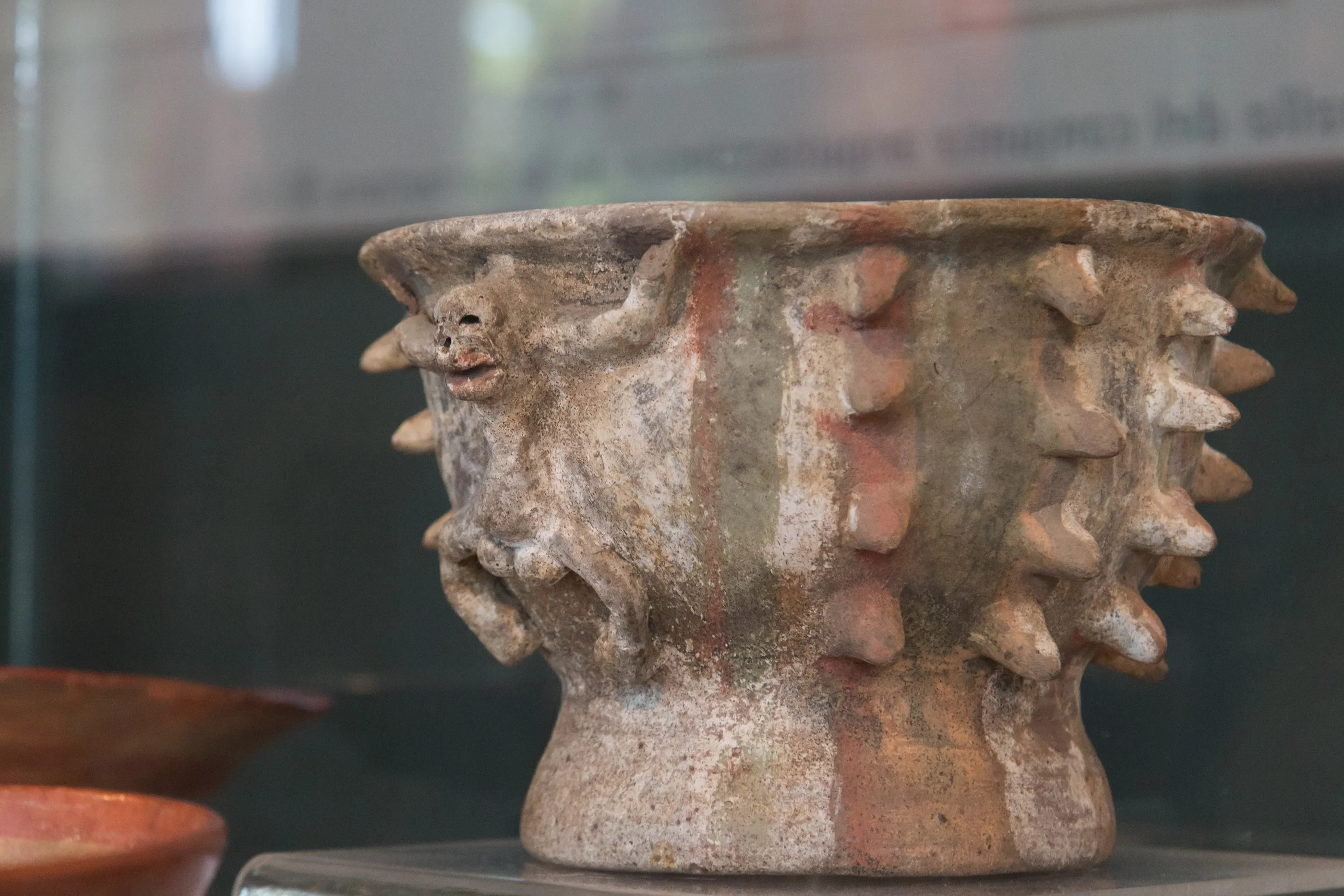
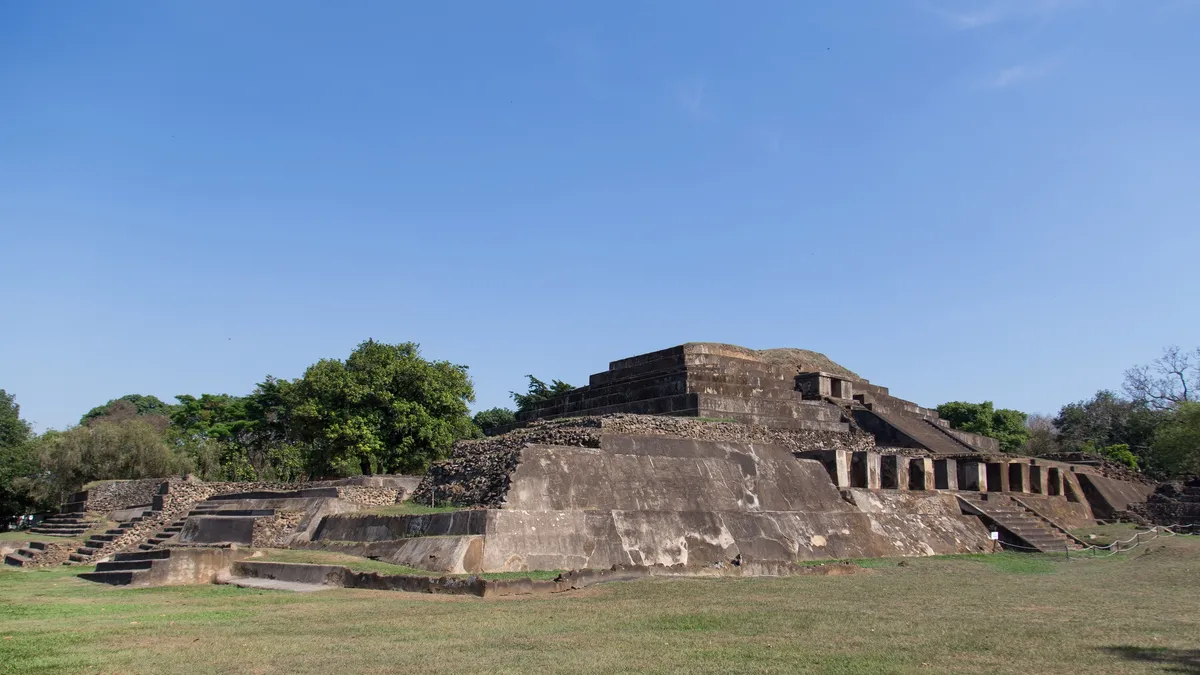
In the town of Chalchuapa, Tazumal was occupied from the Preclassic to the Postclassic, for more than a millennium. Its great pyramid B1-1, restored with cement in the mid-20th century, bears traces of contact with Teotihuacan and later with Toltec central Mexico: on the edge of the Maya world, these southern cities were crossroads between cultures.


By road↗ 112 km
Copán
Honduras
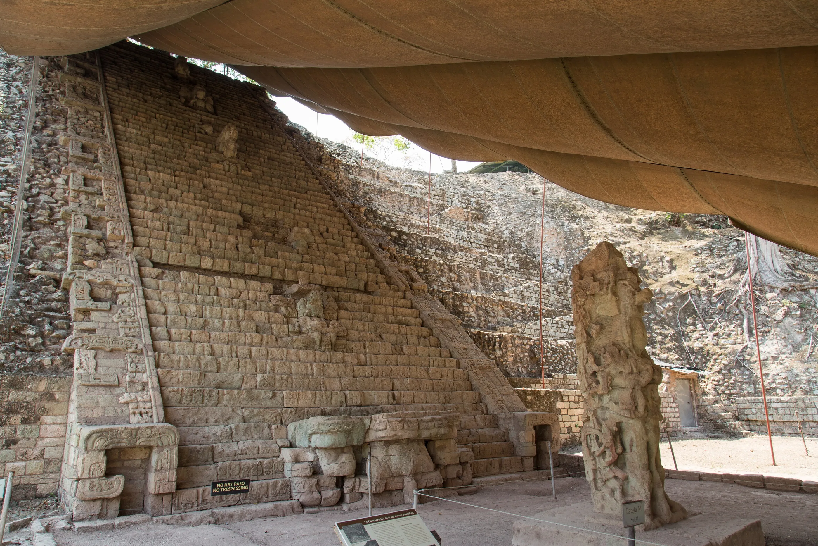
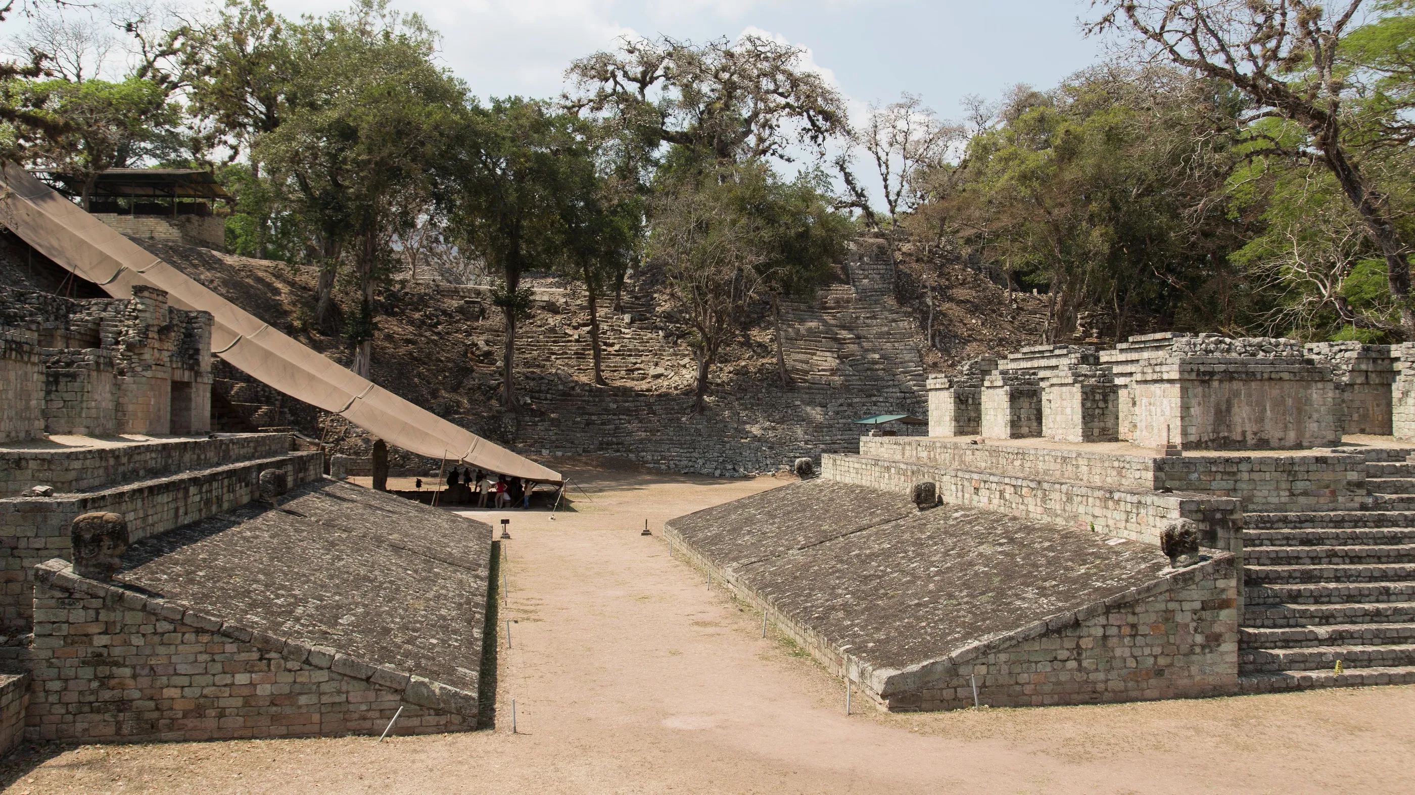
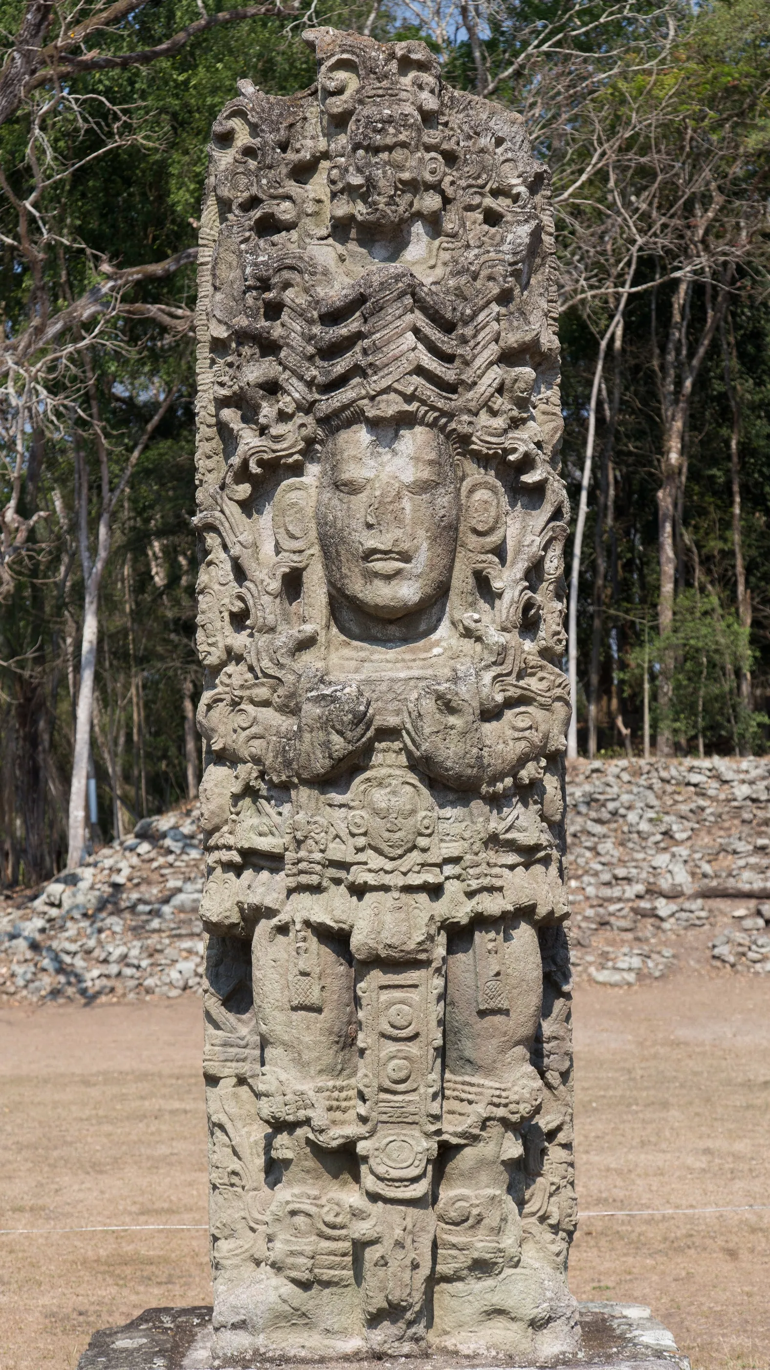
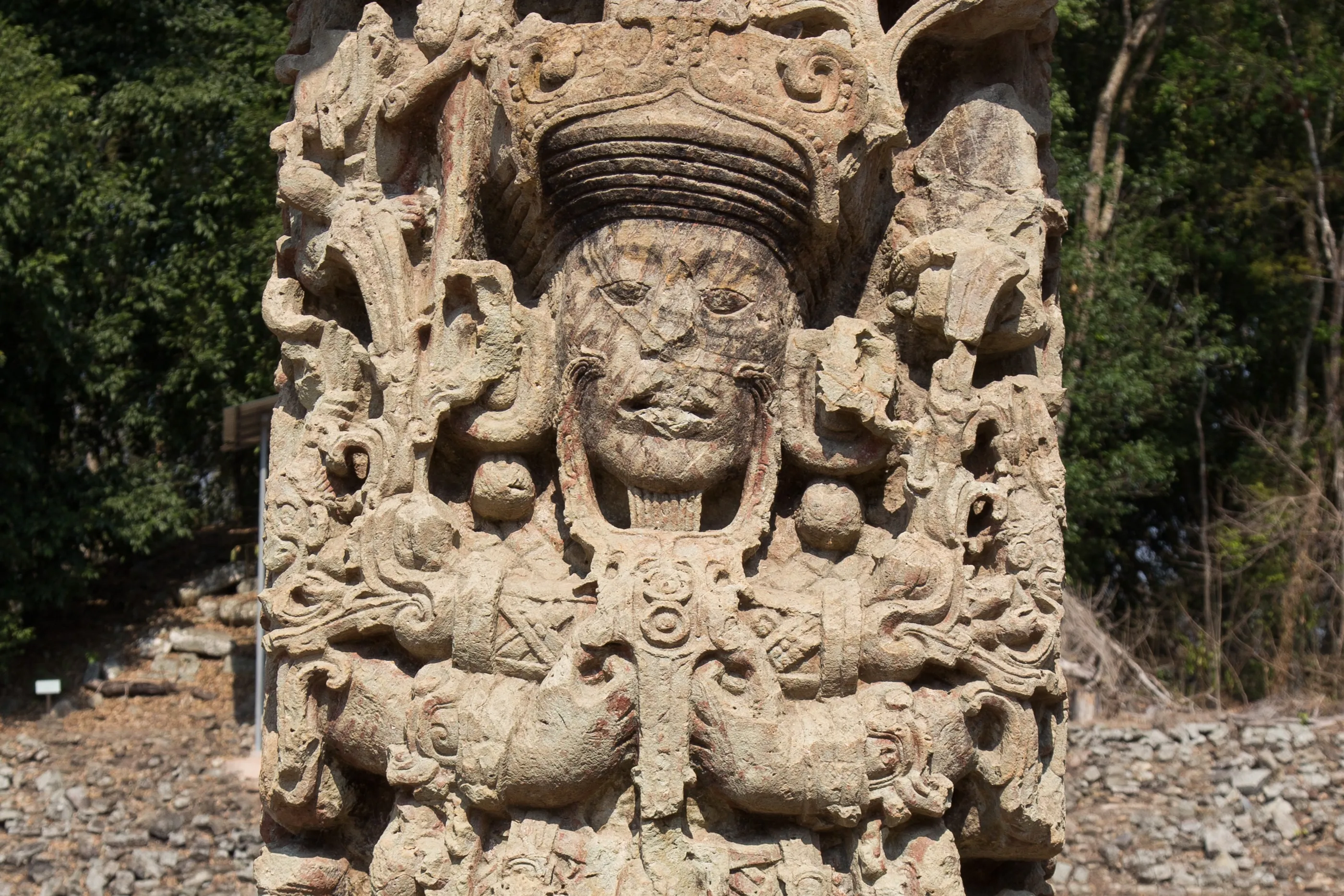
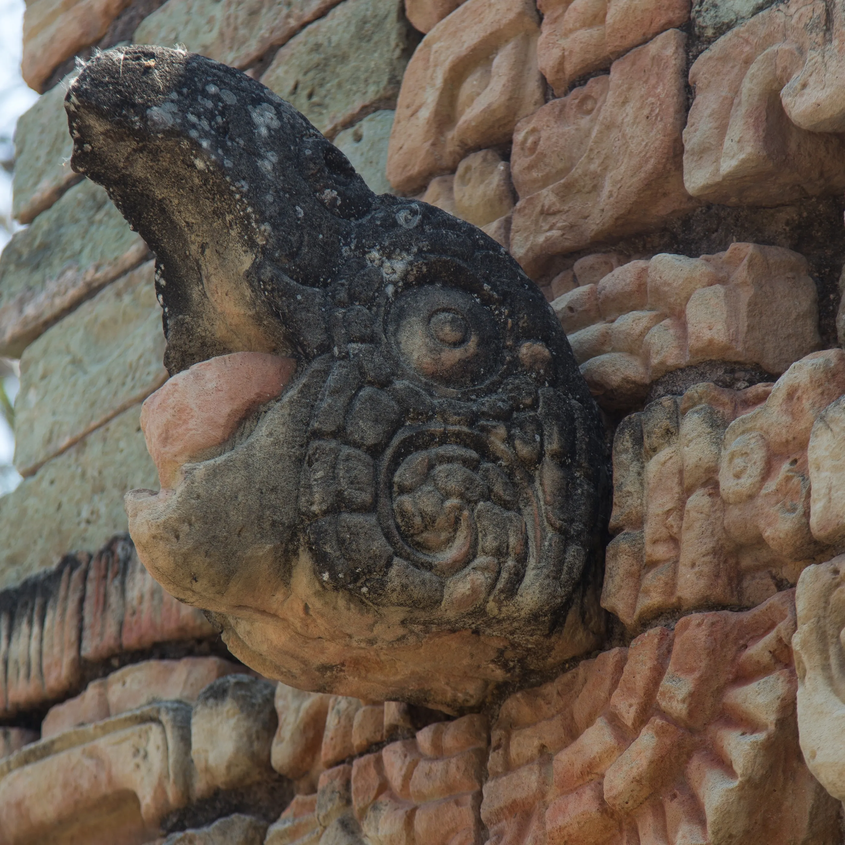
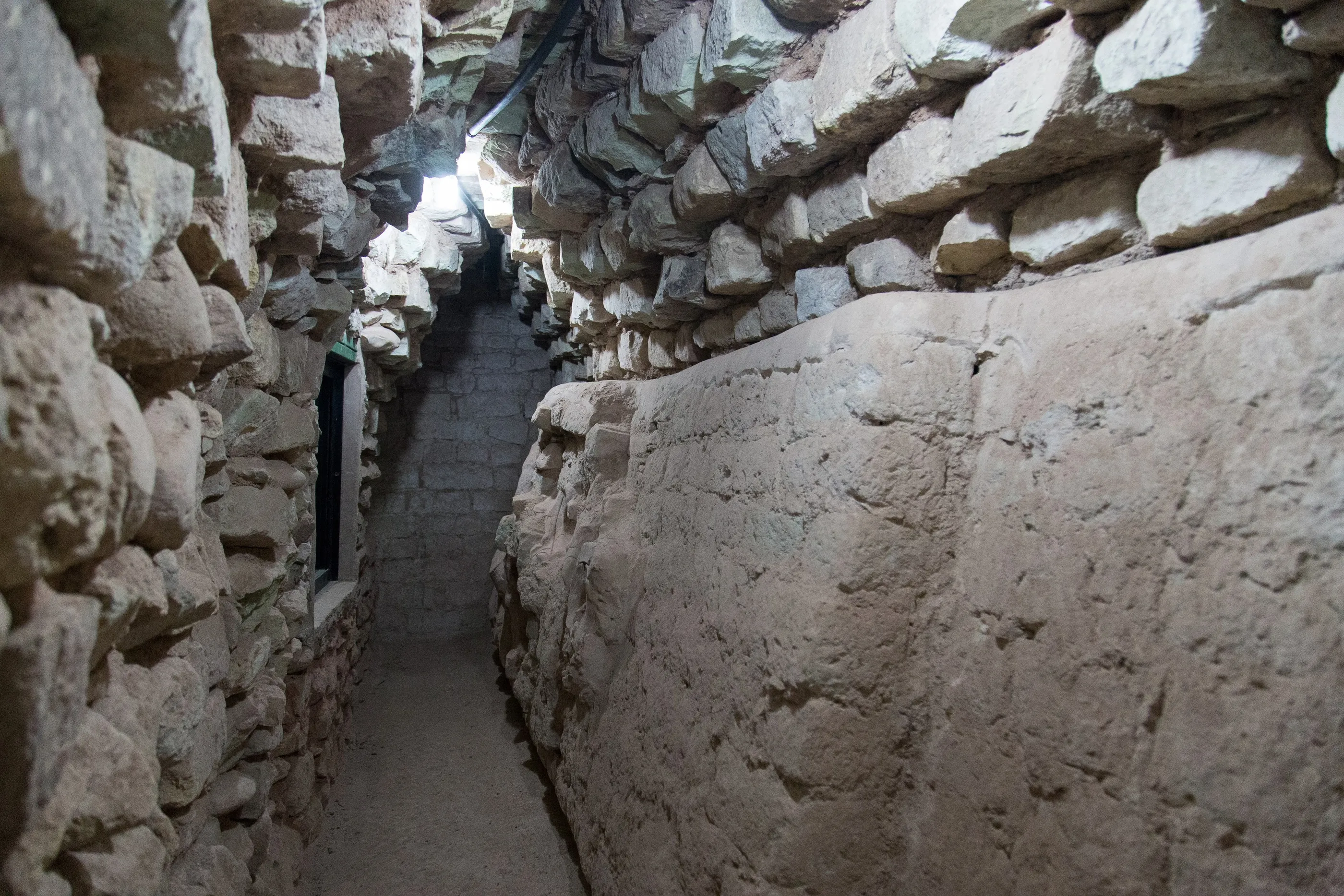
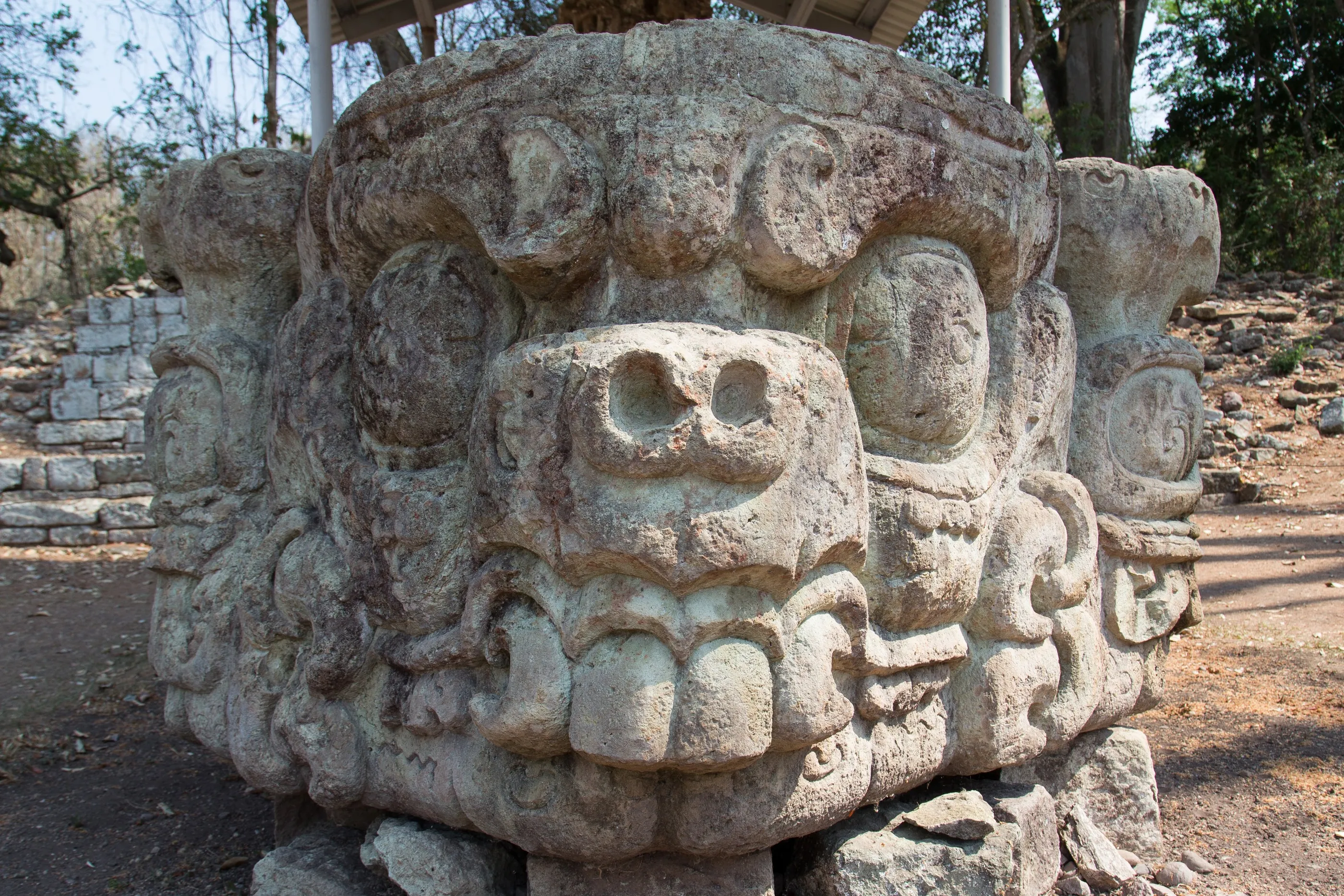
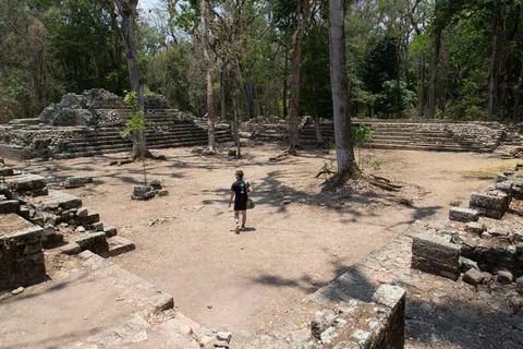
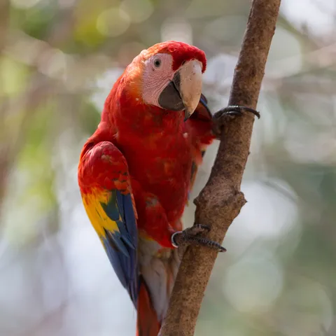
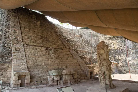
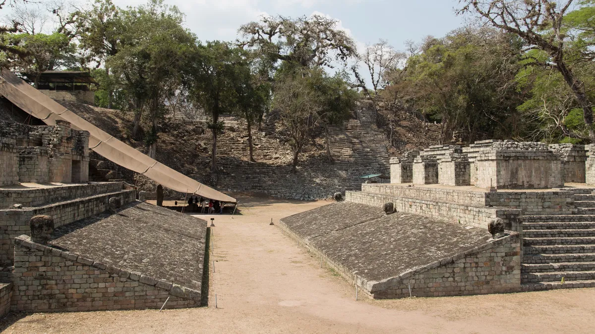
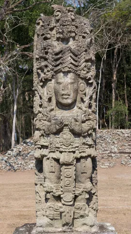
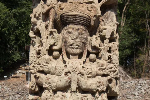
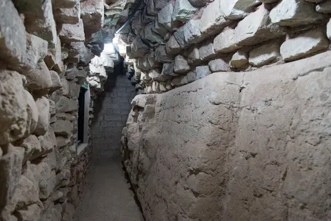
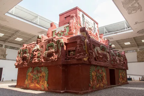
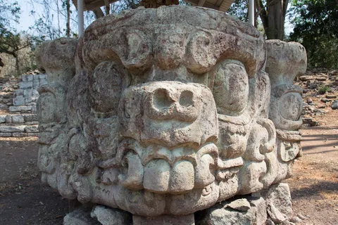
Copán, the ‘Athens of the Maya world’, on its south-eastern fringe: sixteen kings ruled here after K’inich Yax K’uk’ Mo’ founded the dynasty in 426. The high-relief stelae of Waxaklajuun Ub’aah K’awiil and the Hieroglyphic Stairway, the longest known Maya text with some two thousand glyphs, are masterpieces of Classic art; beneath the Acropolis, excavation tunnels lead to the Rosalila temple, found intact in 1989. Above the ruins fly scarlet macaws, sacred birds to the Maya, reintroduced here.

Arrival
End of the journey
2006–2019 · 3,033 km · 22 stops
Galleries of the countries crossed