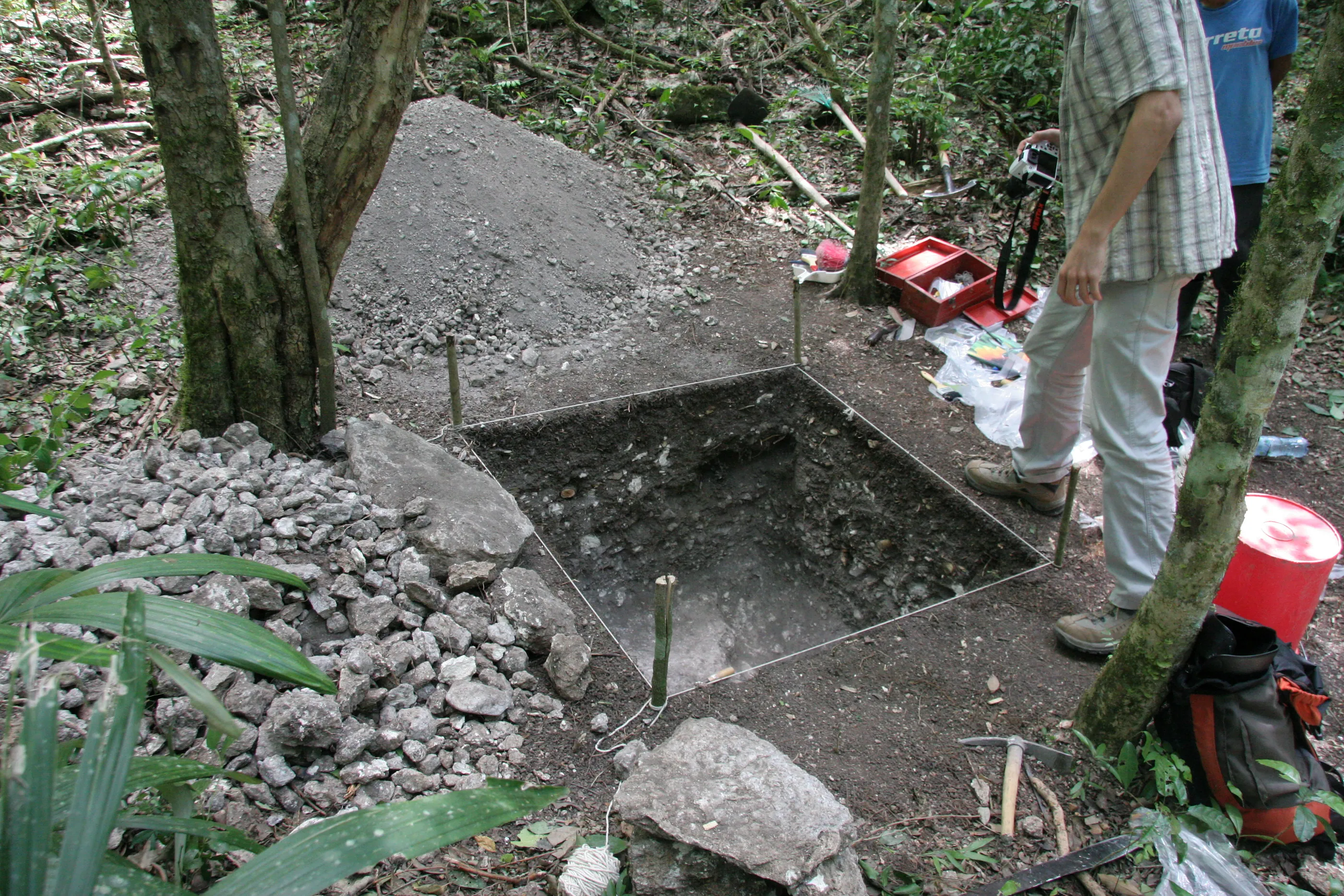
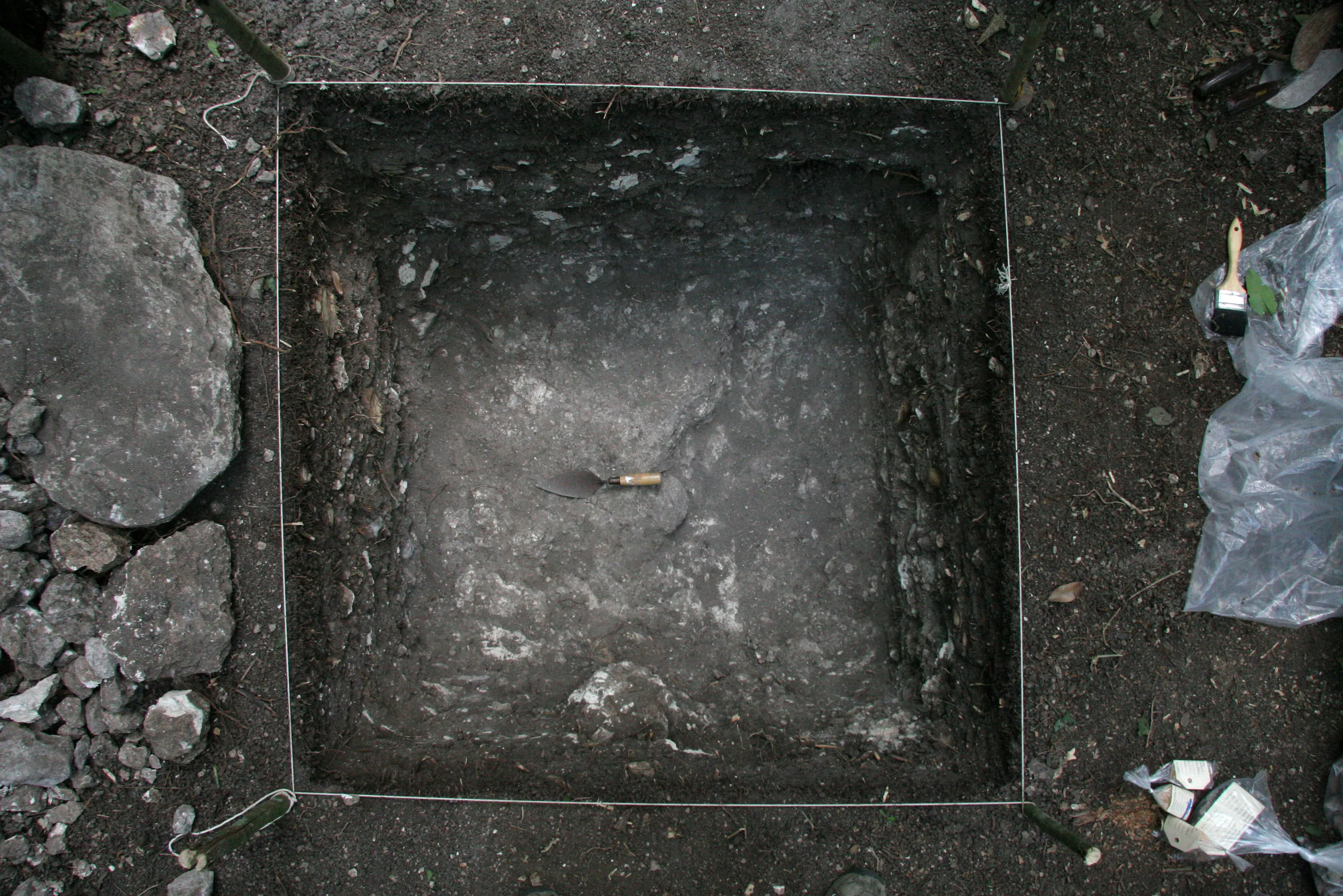
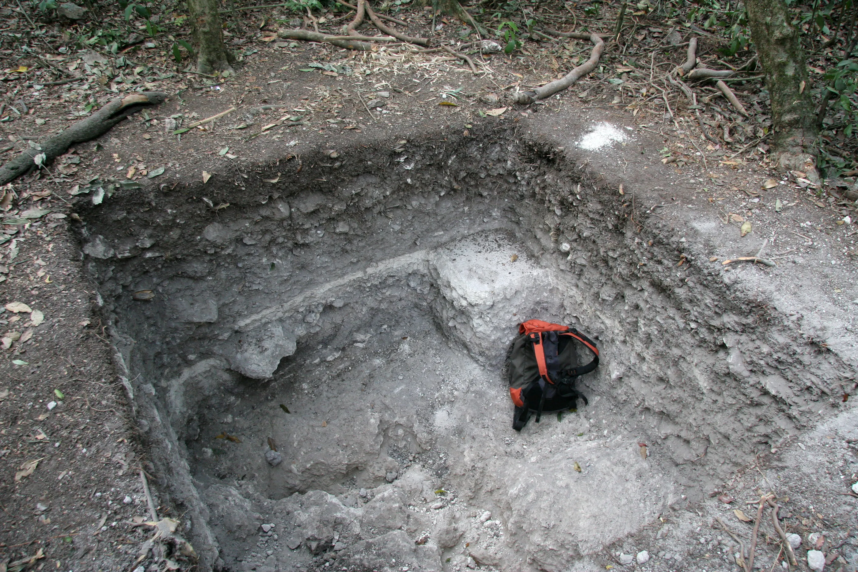
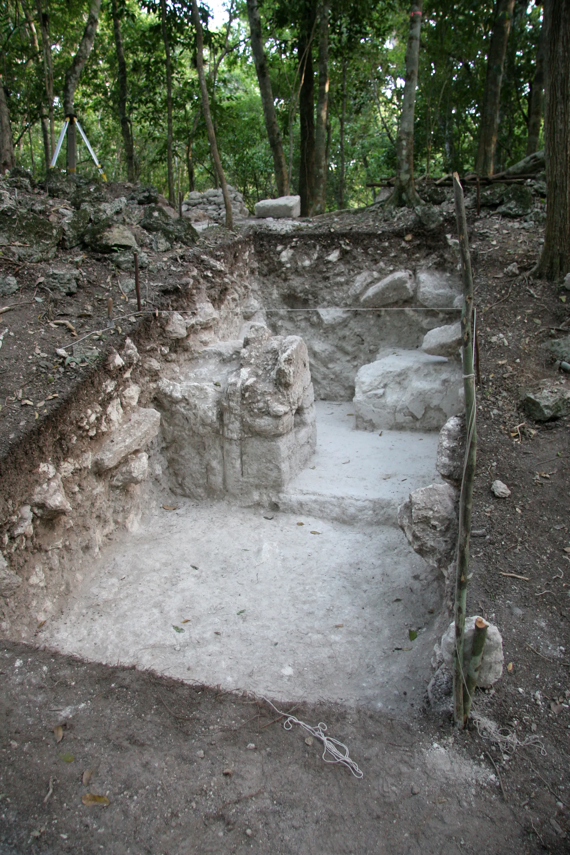
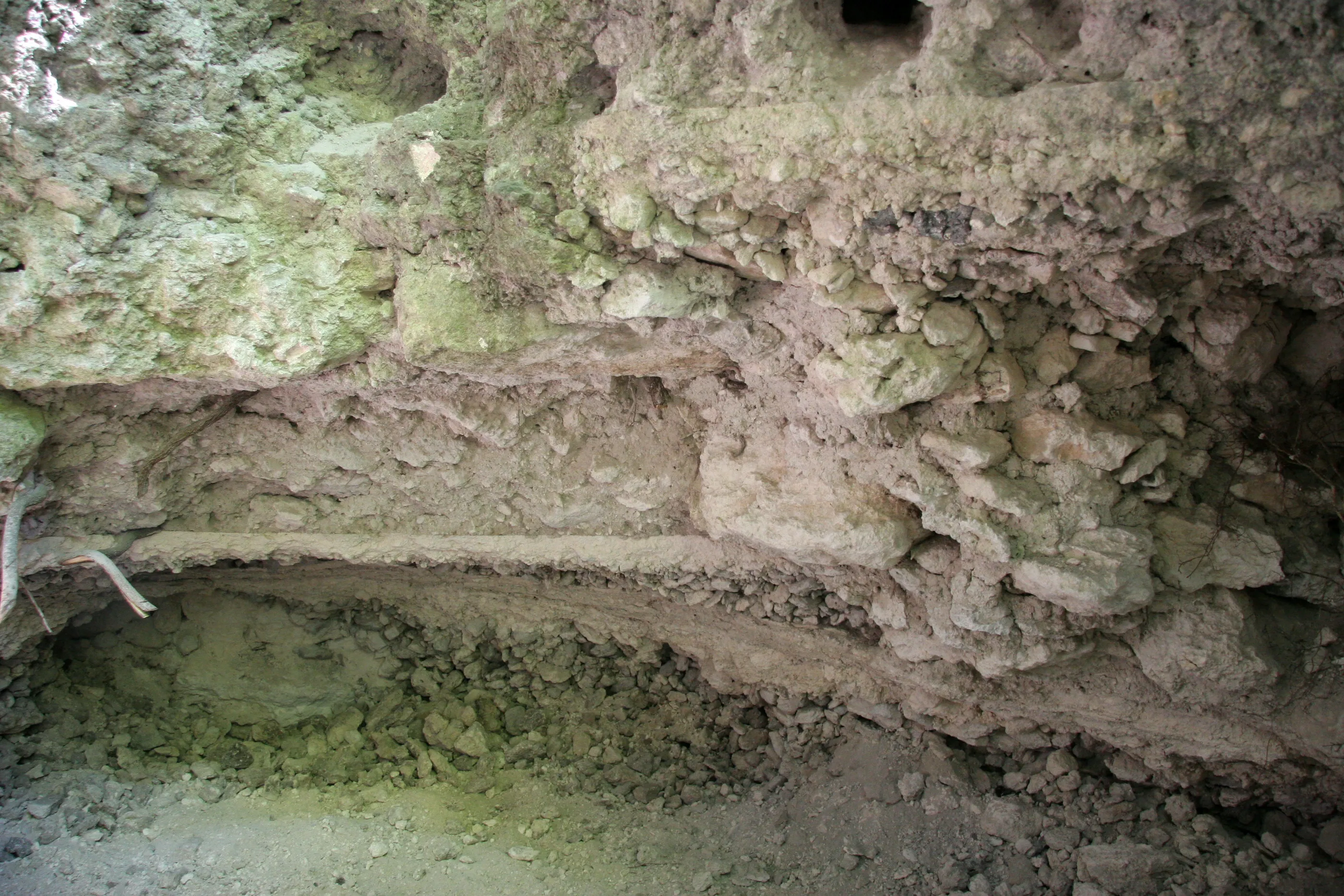
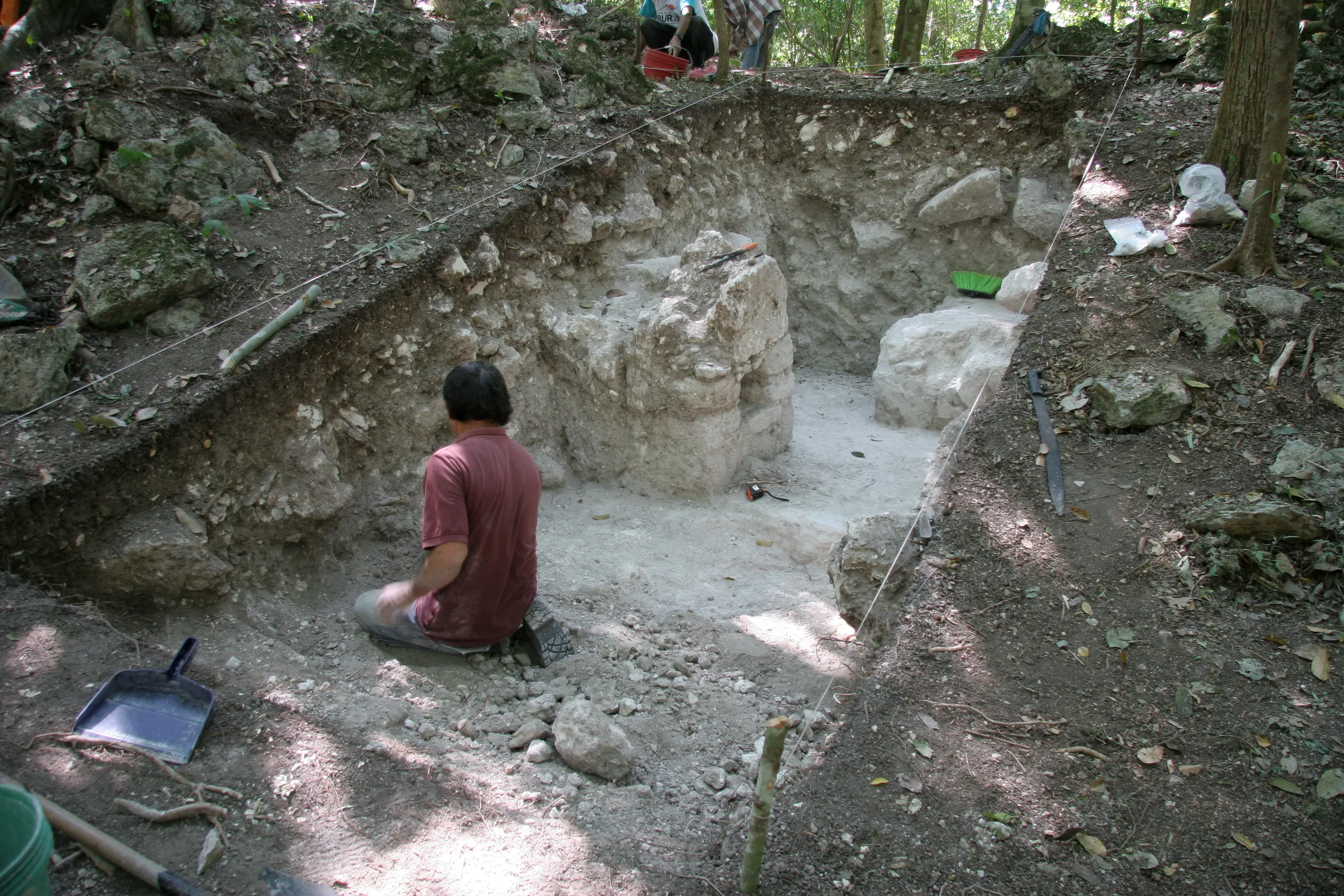
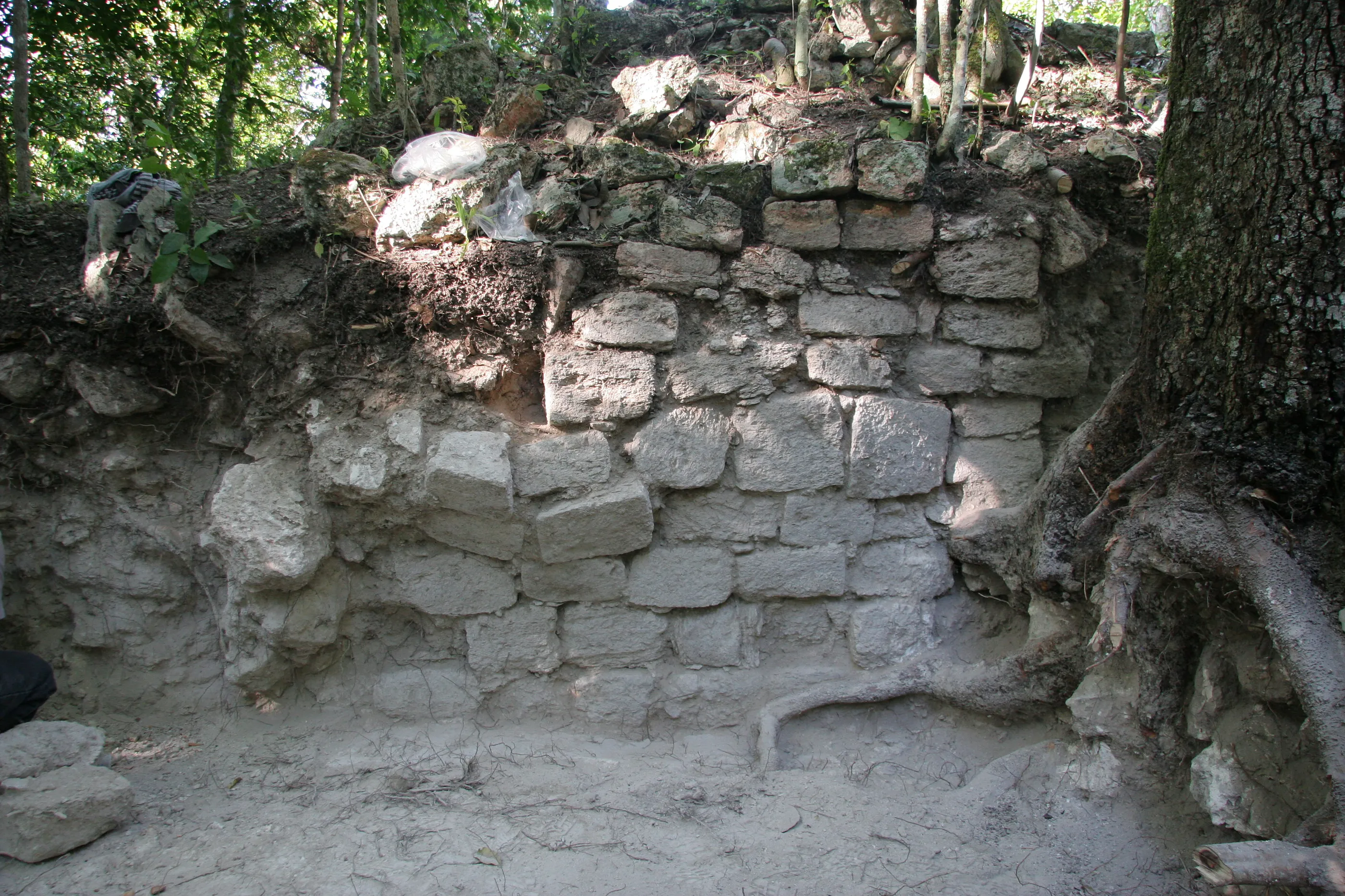
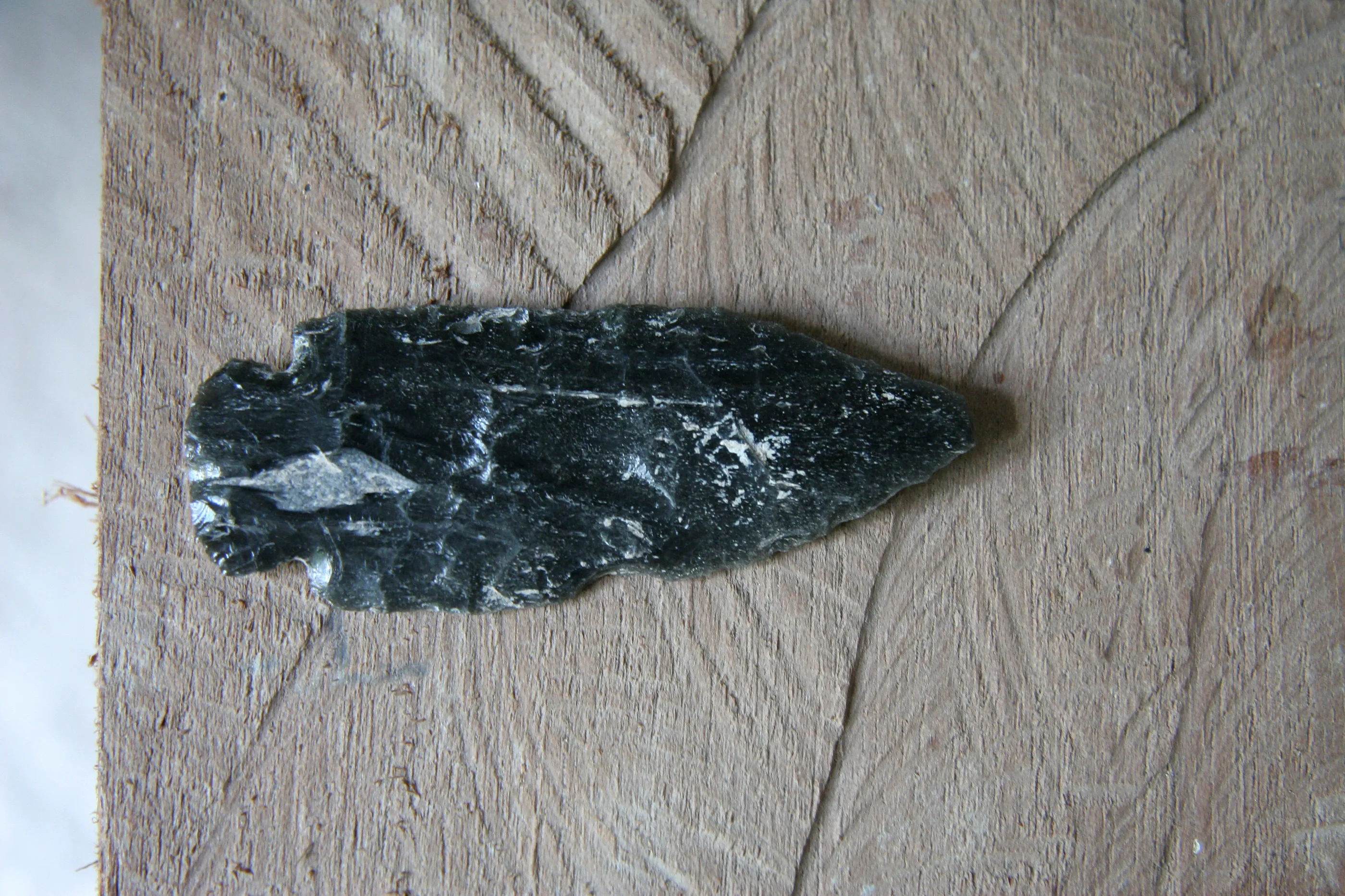
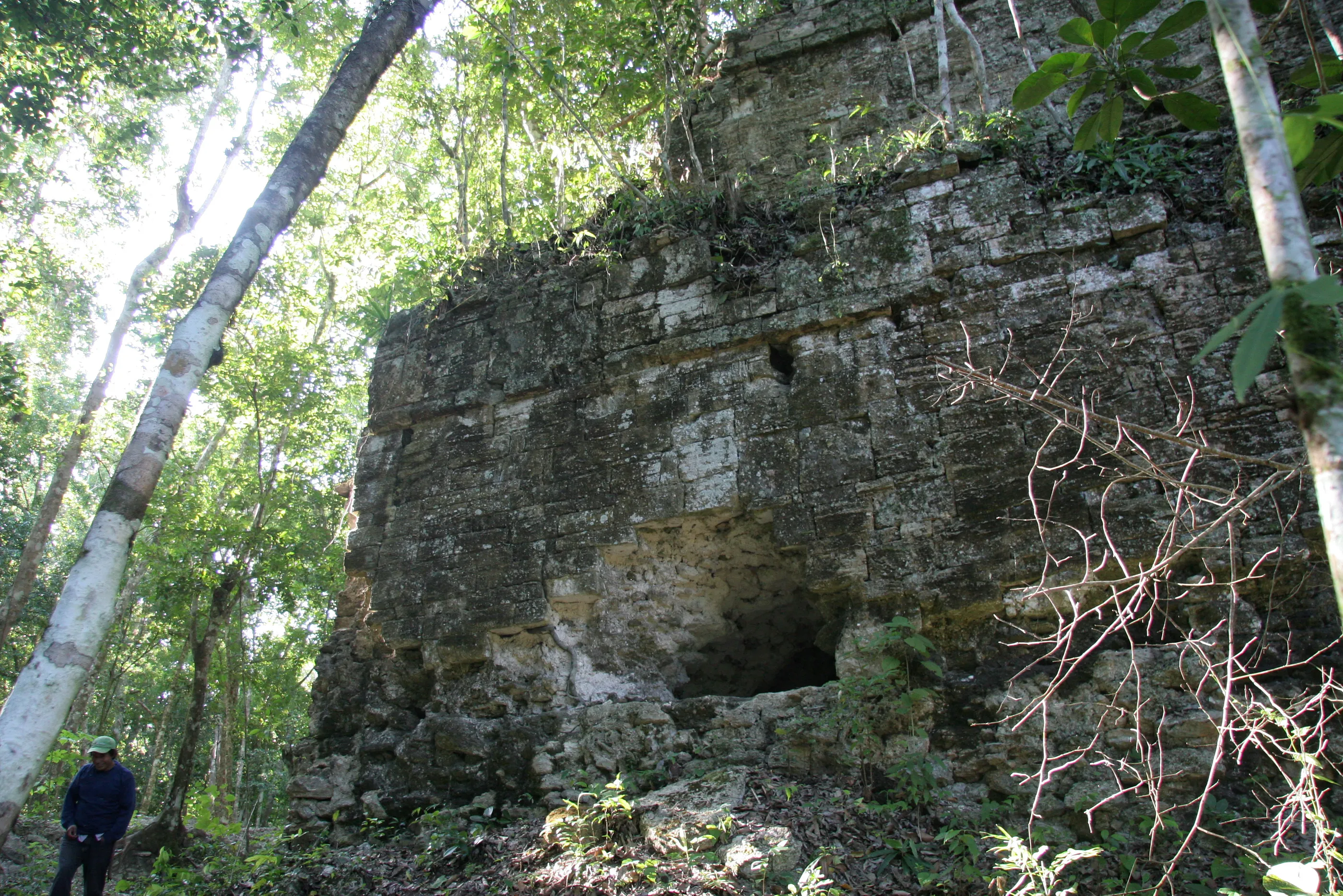
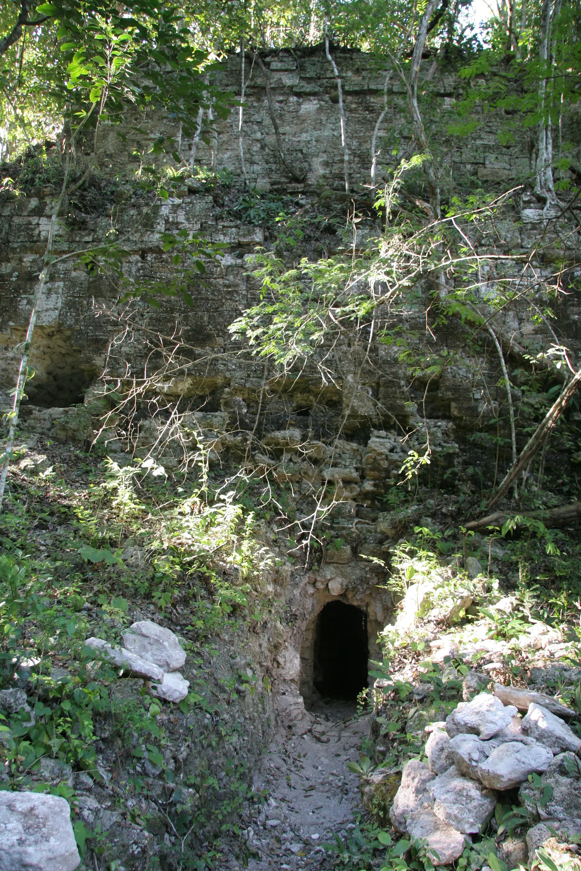
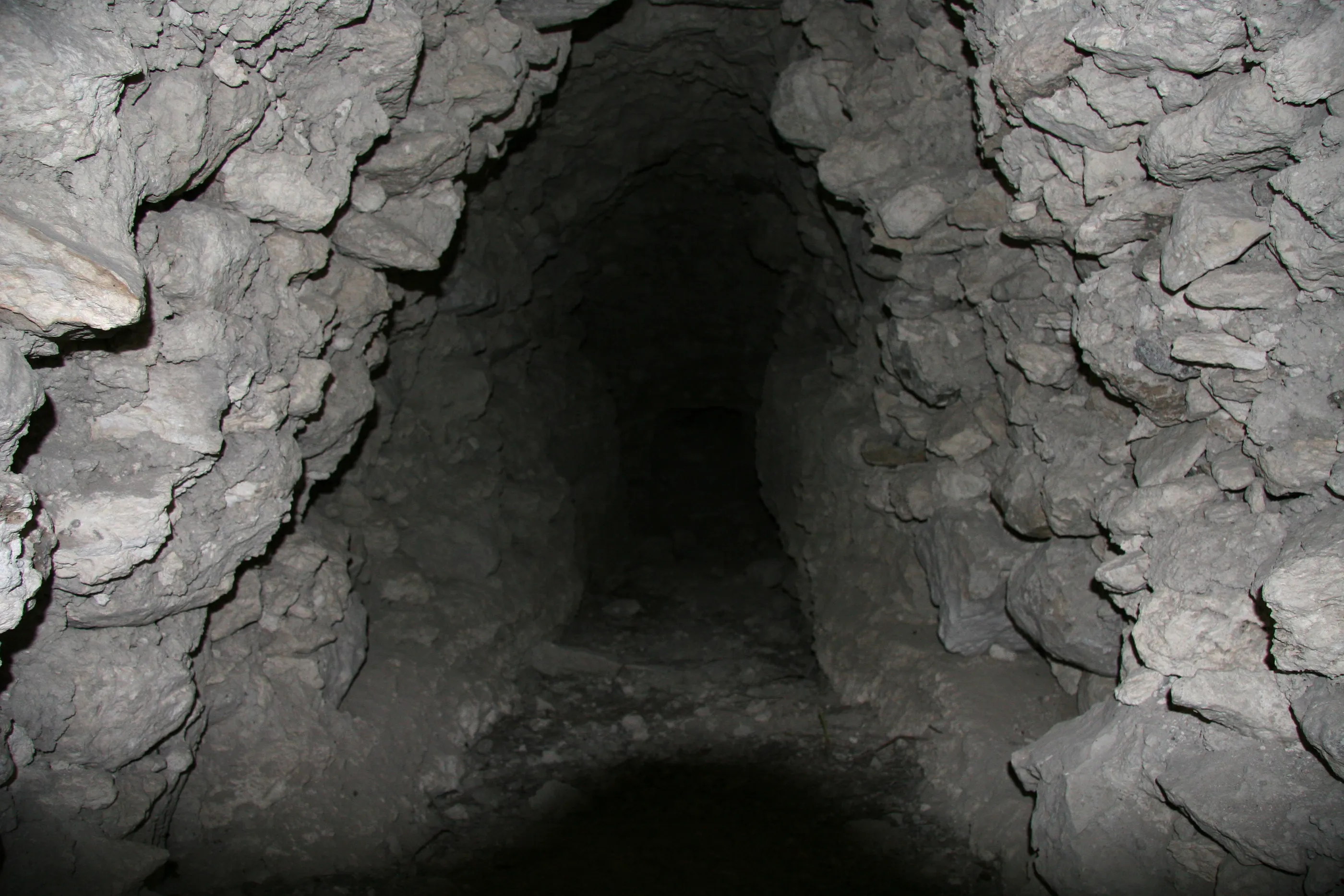
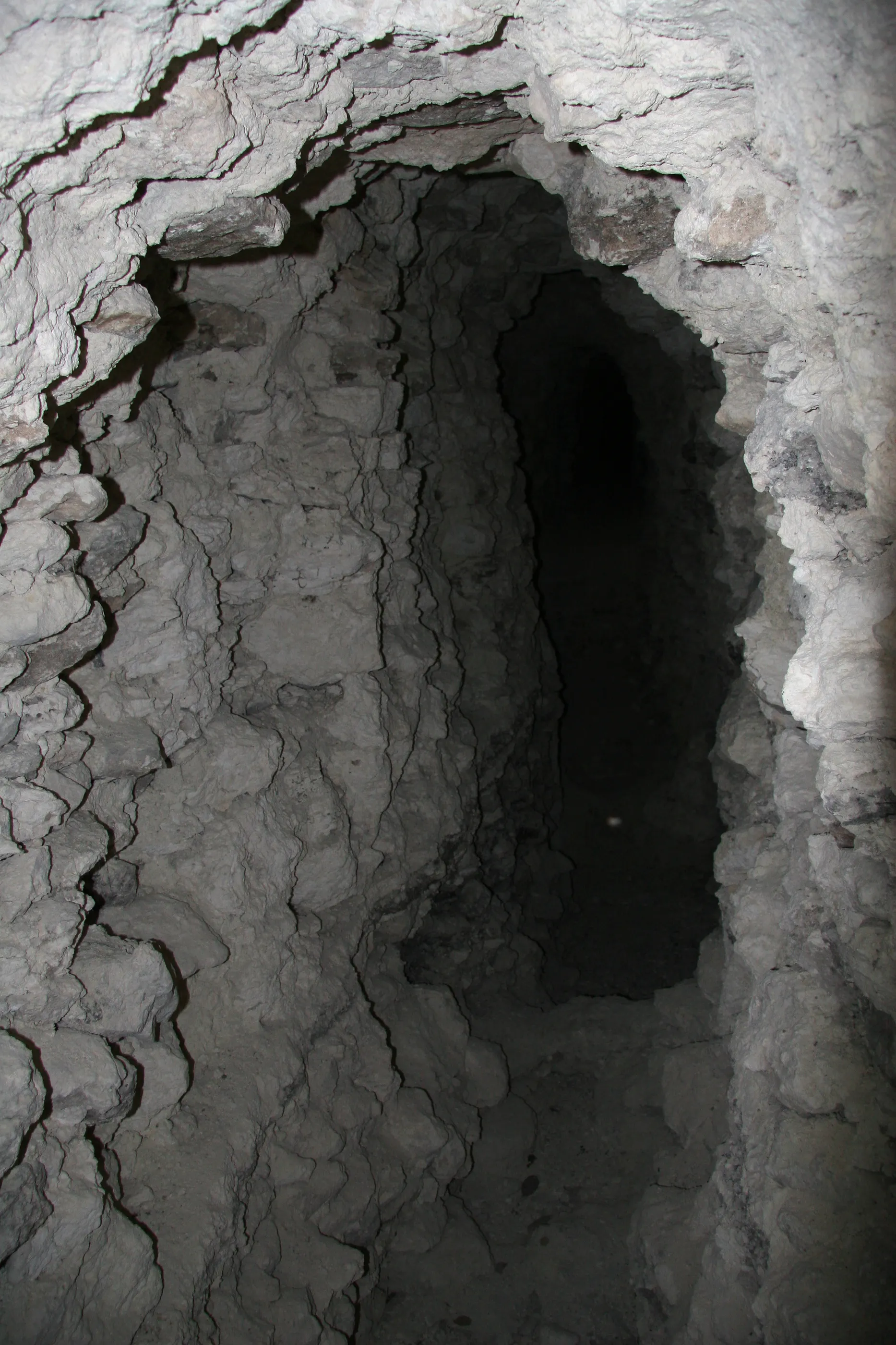
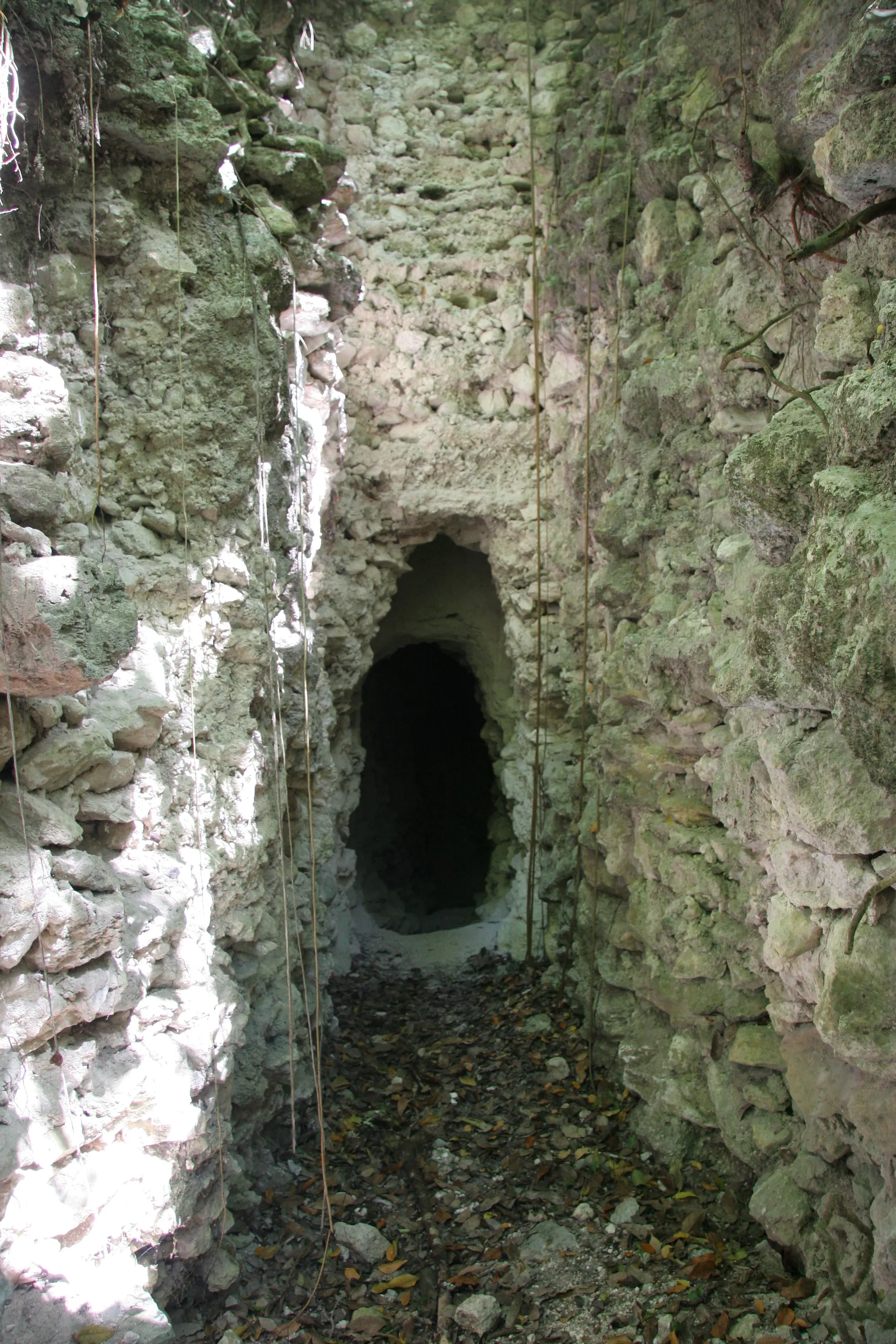
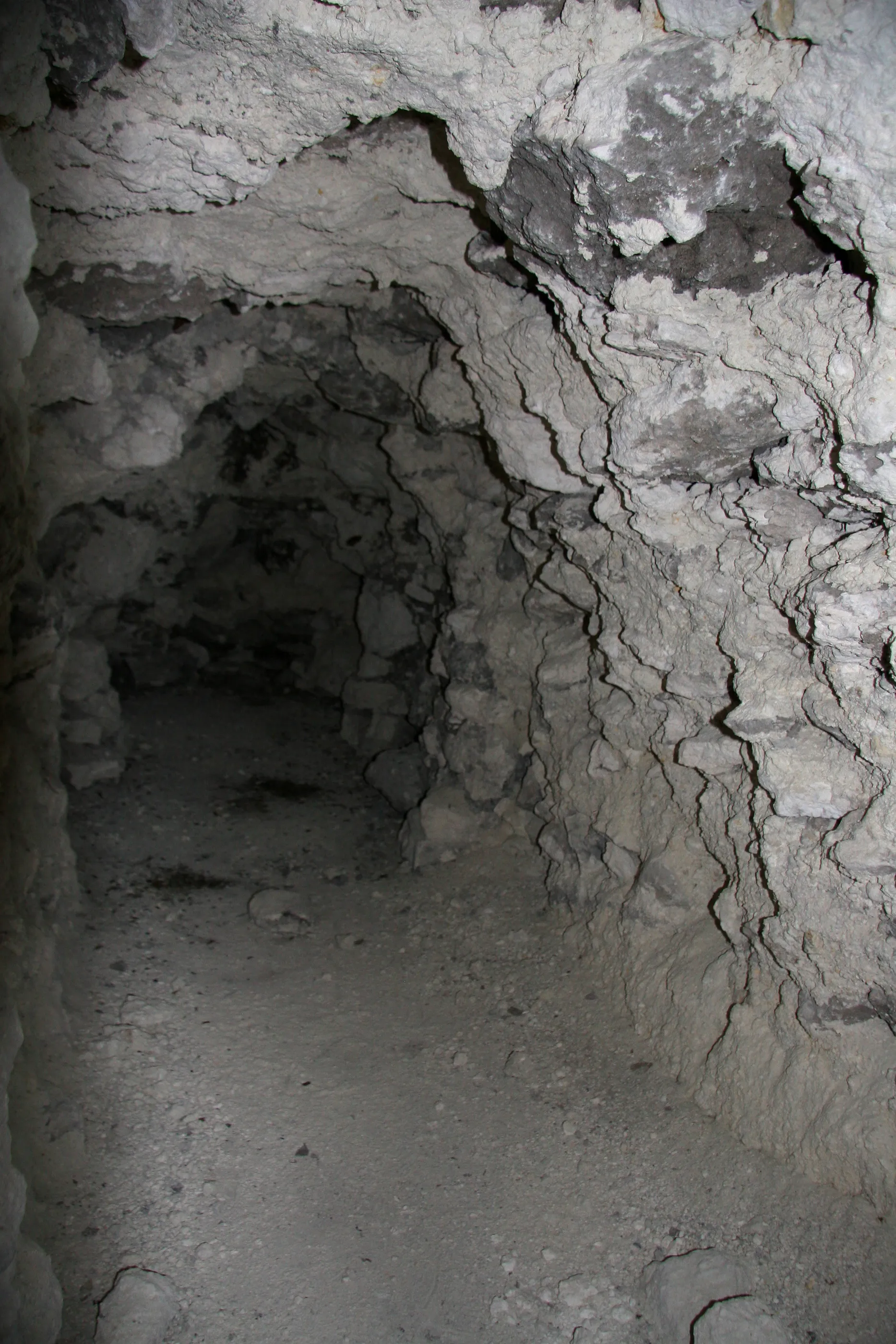
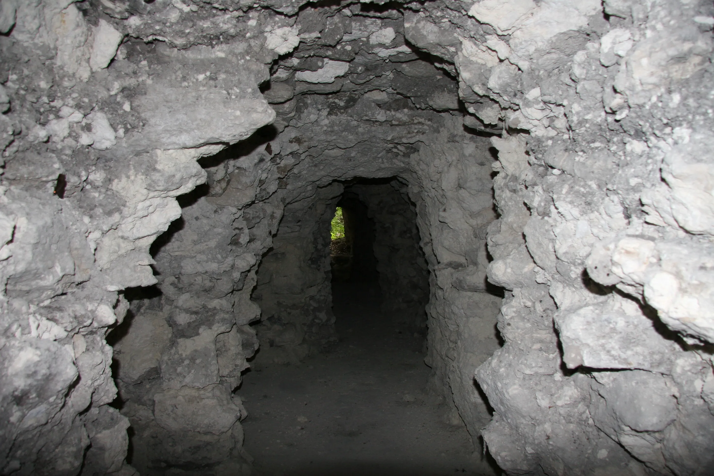
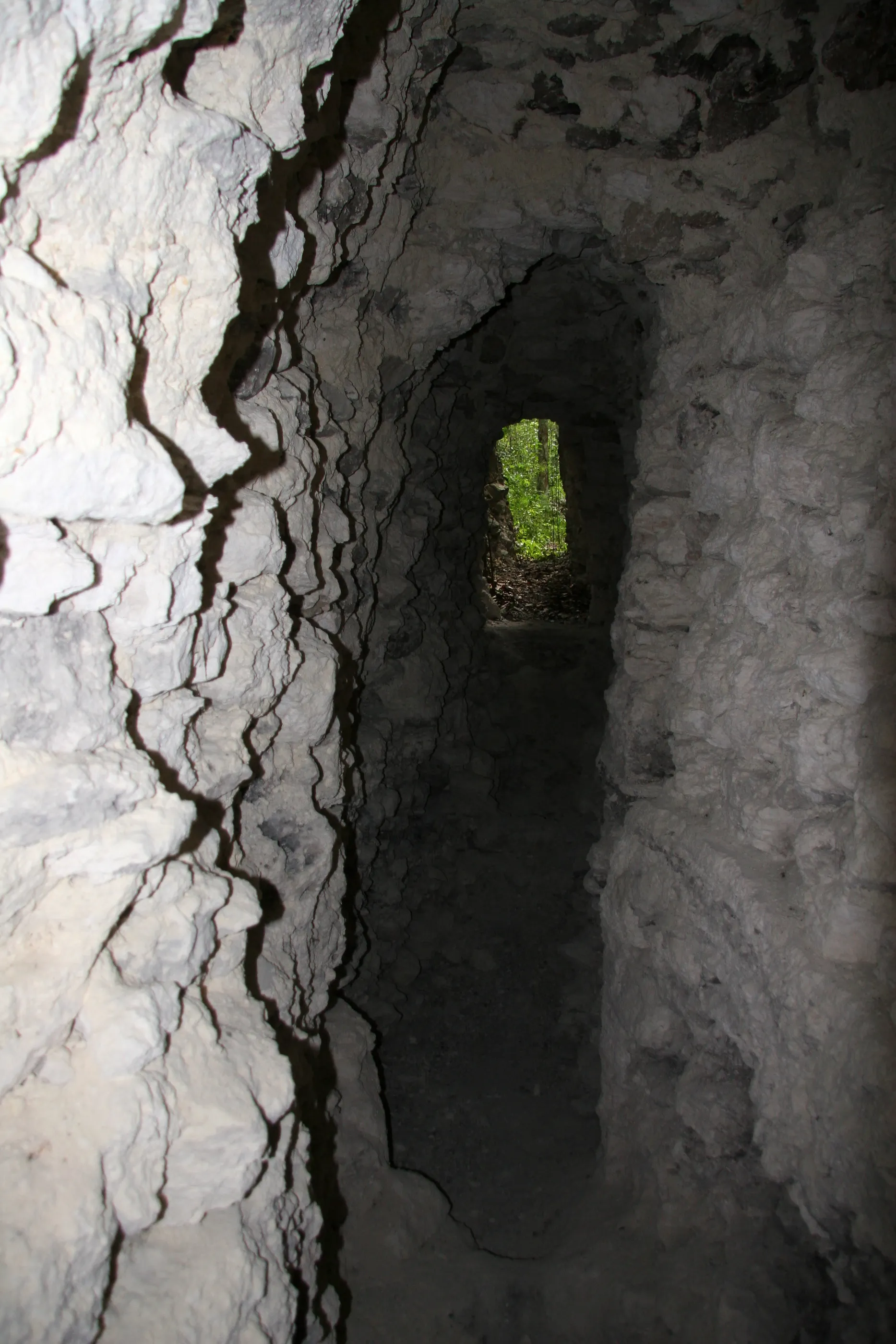
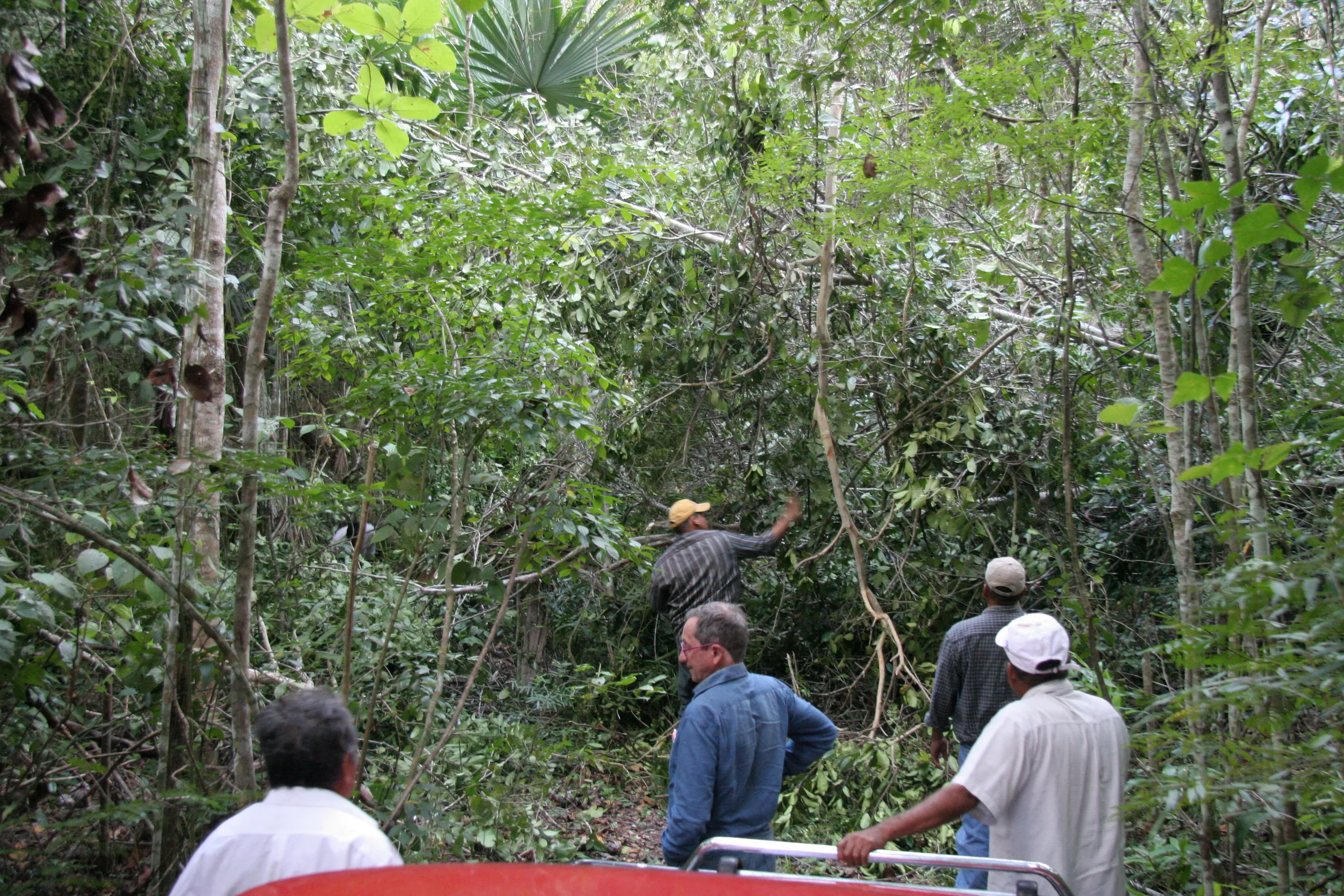
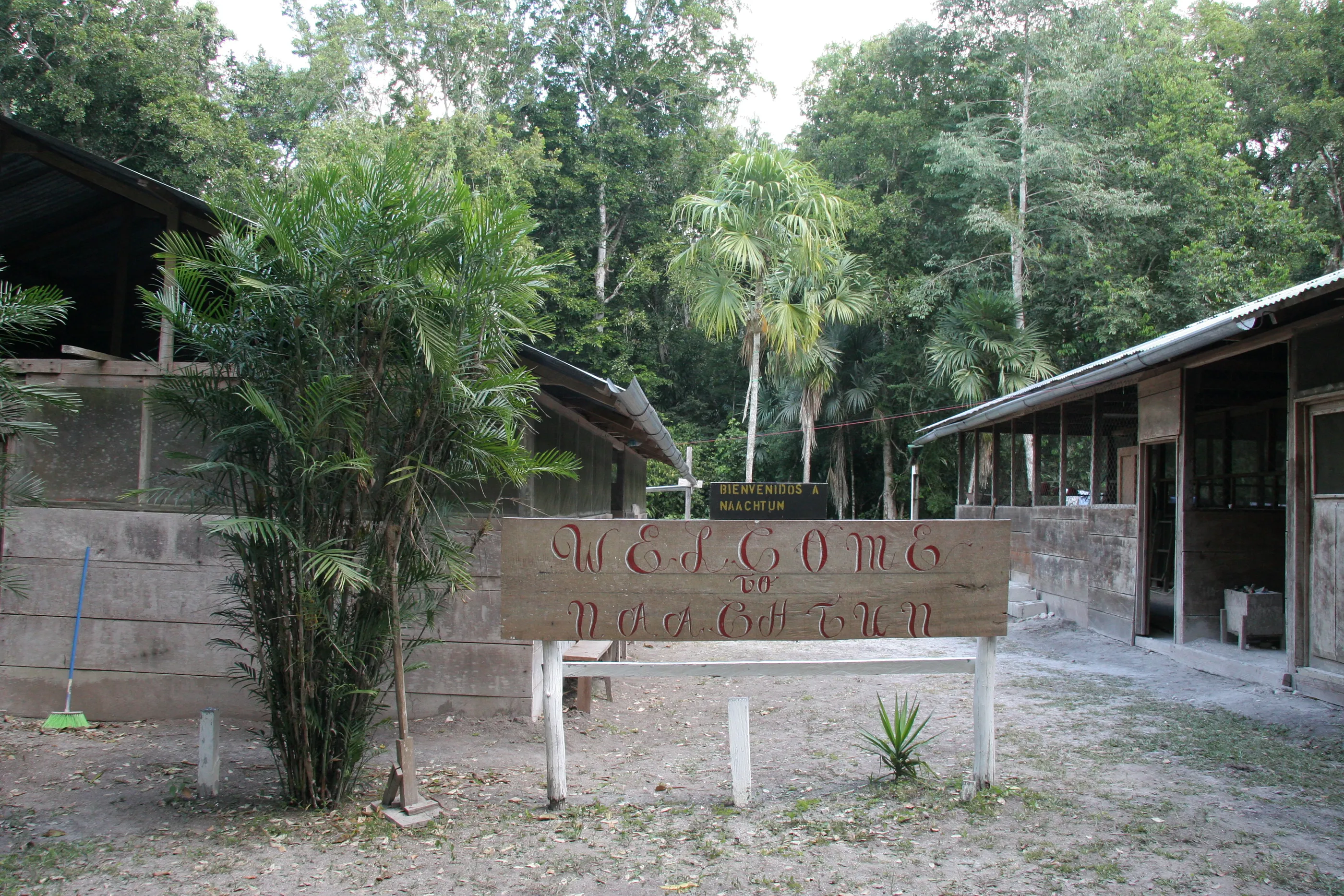
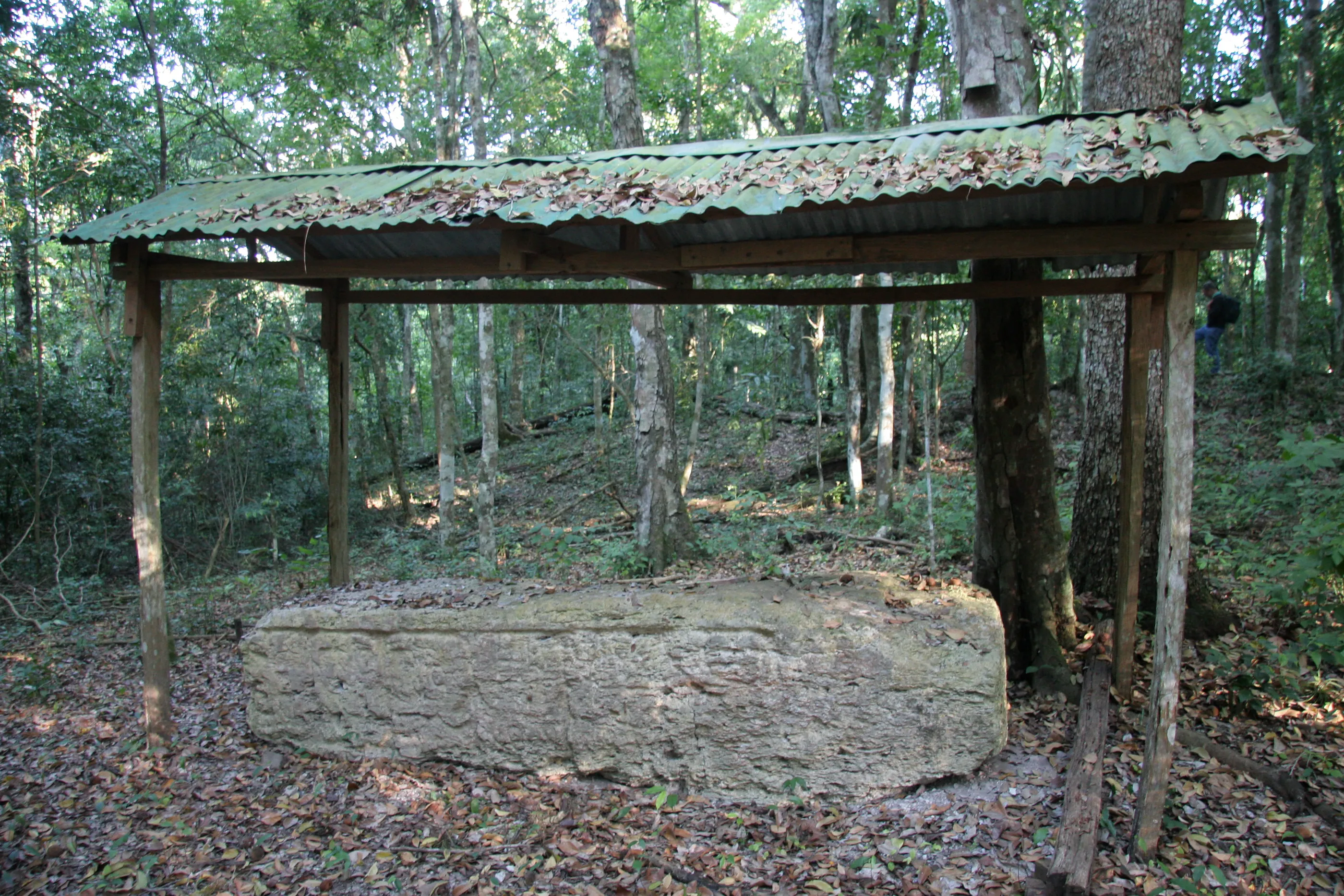
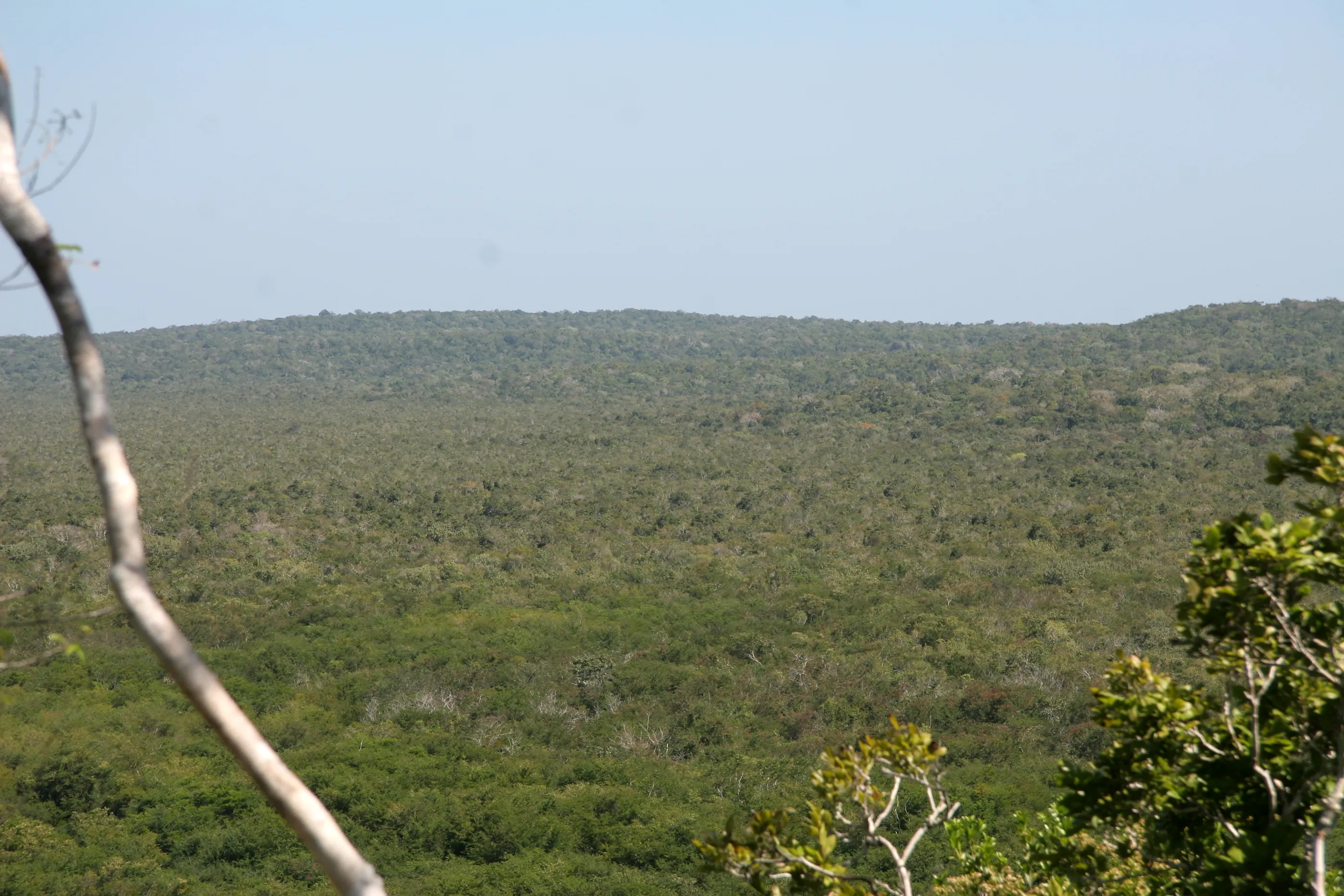
Naachtun was one of the great Maya cities of the Classic period, deep in the Petén forest, in the far north of Guatemala. Reported as early as 1922, it has been explored since 2010 by a French-Guatemalan team.
The question
How was power organised away from the centre of the city? Around the royal family lived noble lineages, powerful enough to build large residences, close enough to the king to weigh on how the city was governed. I called these second-rank households “secondary groups”.
What was at stake
My first-year thesis had shown that these lineages could rival the royal families, and sometimes supplant them at the centre of power: the old dynasties were then pushed out to the periphery, into precisely this kind of residence.
Finding these groups means reading, in the plan of a city, the balance — and the reversals — of power.
The method
The question was whether one could be recognised at Naachtun before it was even excavated. Under the forest, a Maya house is no more than a mound: the map of the southern periphery recorded 359 of them, over 80 hectares. From it I built a database, then a classification of the buildings and of the housing groups, from the single house to the group with several courtyards.
The result
One group clearly stands out, at the centre of the southern periphery: group 6M22, the largest and most elaborate. It has every appearance of a noble residence; only excavation can confirm it.
Sources: N. Marincic, Les groupes secondaires mayas dans les Basses Terres centrales et méridionales de la période classique, master’s thesis (year 1), Paris 1 University, 2012 (supervised by E. Lemonnier); N. Marincic, La périphérie sud de Naachtun : étude morphologique des structures et unités d’habitation, master’s thesis (year 2), Paris 1 University, 2013 (supervised by P. Nondédéo); P. Nondédéo et al., “La temporada 2013 del Proyecto Naachtun”, XXVII Simposio de investigaciones arqueológicas en Guatemala, 2014.